
Mid December 2017

 :
:
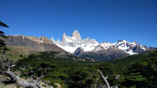
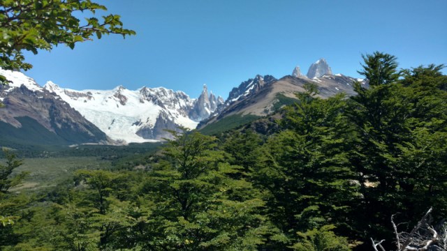
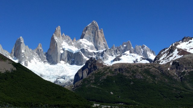
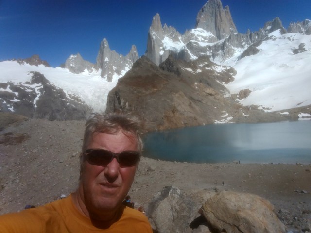
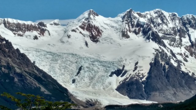
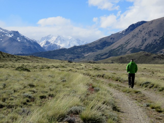
We both hiked up toward Mt Fitz Roy, a mountain in Patagonia, on the border between Argentina and Chile. It is located in the Southern Patagonian Ice Field, near El Chaltén village and Viedma lake. First climbed in 1952 by French alpinists Lionel Terray and Guido Magnone, it remains among the most technically challenging mountains for mountaineers on Earth. I made it to the mirador, it was crowded withother hikers. Günter hiked the whole the circuit and we both really enjoyed the scenery.
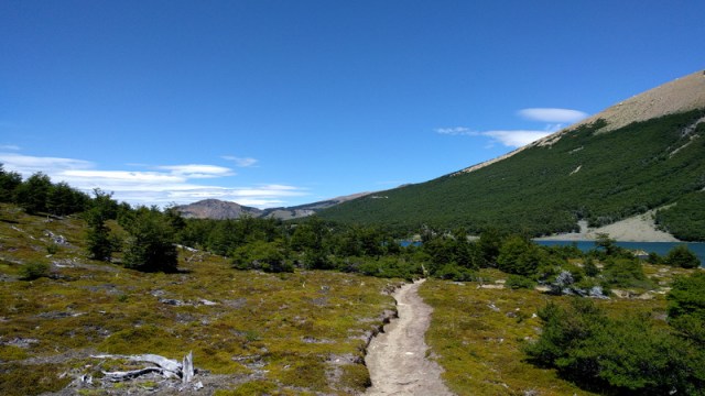
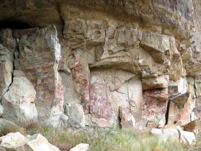
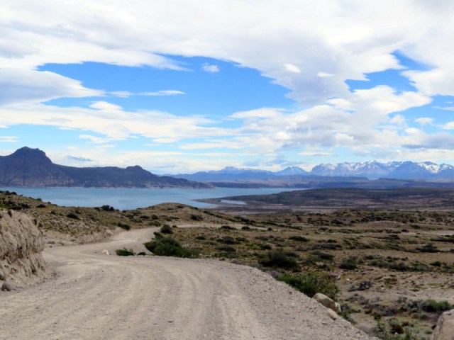
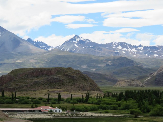
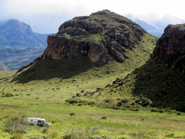
Our blog is more or less just a way to write down our memories before we forget (ha) and our friends and families can read it if they are wondering what we are up to. It is not a guide-book and so I am usually not recording “useful” information about the towns or our camp sites. The towns are necessary stops to replenish our larder and fill up the tank. Anyway, El Calafate and El Chalten are gateways to the mountains and trekkers and bikers and bus tourists are all over the towns in summertime. We add to the mix and meet other overlanders in the campgrounds. Always interesting to talk to them and hear their stories. But too busy for us, so we left for Lago Desierto, west of El Chalten, near the Chilean border, we wanted to go for a hike to a glacier. On the road to the lake we saw several bikers who planned to take a boat across Lago del Desierto and hike and bike over to O’Higgins. The little town at the end of the Carretera Austral in Chile. This is a popular excursion for the more adventurous backpackers/bikers. We camped in the woods near the lake and the next day it rained, and it rained the day after, and it kept raining – and I started to wonder what we were doing there. Rain drenched bikers and hikers passed by on their way to the lake. To escape the rain we decided to head back to the steppes. Cuevas de las Manos is an ancient site with paintings dating back to 7370 B.C.On the way we detoured through Perito Moreno National Park. It was time for another hike, but there the wind was impossibly strong. I actually could not walk in it, it was crazy. We parked at the former estancia building, behind a large rocky hill. Even with that protection the wind shook our camper so hard that we had a restless night. So much for hiking here.
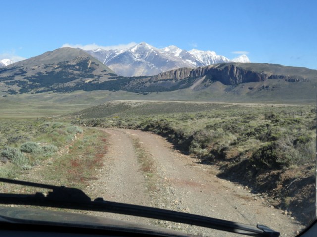
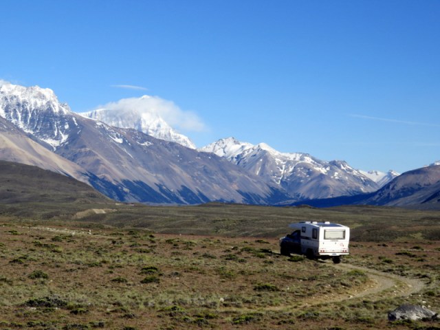
On the road to Perito Moreno National Park
This was the only hike we went on,it was just too windy.
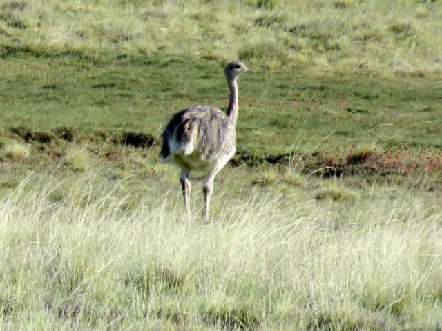
Rhea
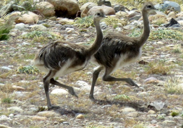
…..and two of many chicks.
It took this guy a while to move off the road so we could drive on.
Estancia la Oriental
Condor nests
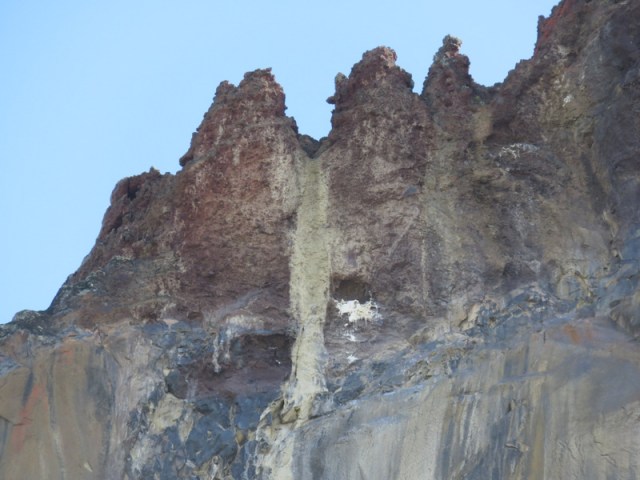
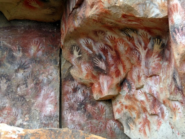
The weather got better, we camped in Canyon Caracoles near the UNESCO site Cuevas de los Manos.
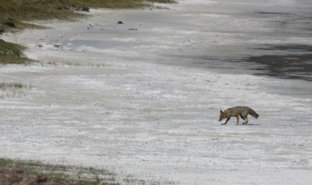
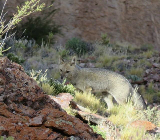
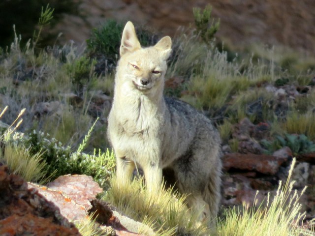
The grey fox came across the salt flat and checked us out.
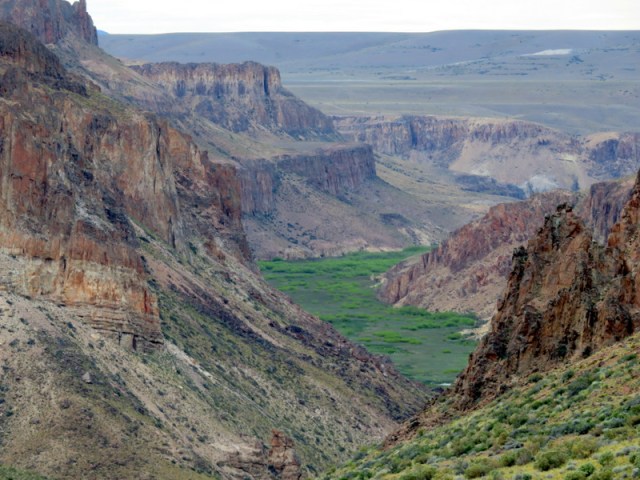
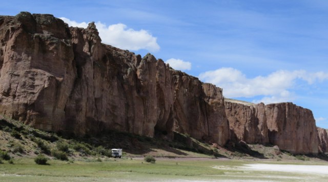
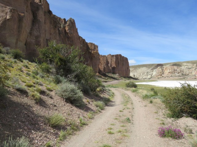
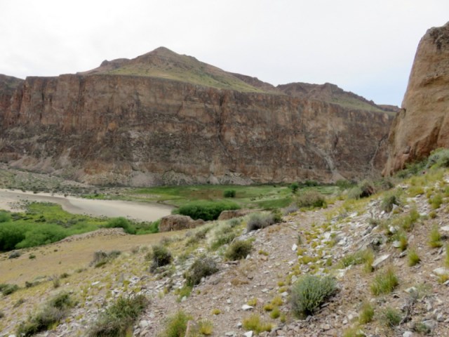
Rio Pinturas canyon

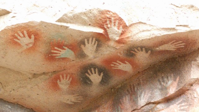
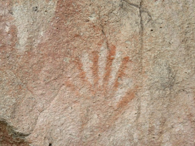
This person had six fingers!
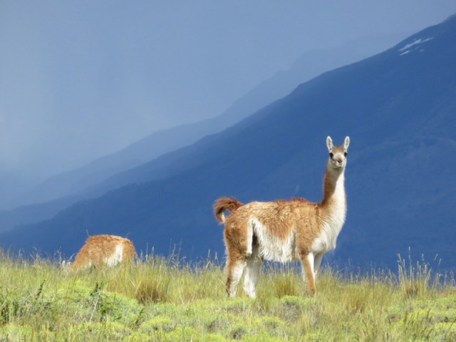
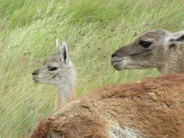
Pregnant guanacos!
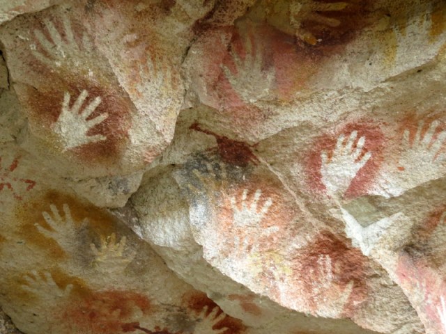
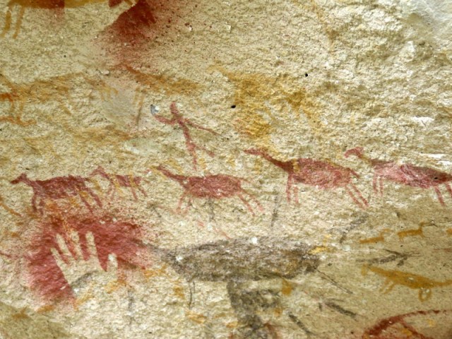
Cueva de las Manos is famous for the paintings of hands. The art in the cave, which is really just an overhang dates from 13,000 to 9,000 years ago. Several waves of people occupied the area and early artwork has been dated to 7300 BC. The artist used bone pipes for spraying the paint on the wall to create silhouettes of hands and animals.
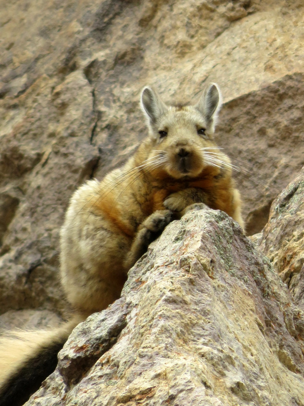
Viscacha
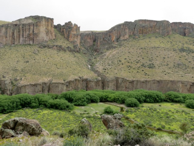
The canyon reminded us very much of the canyons in Utah.
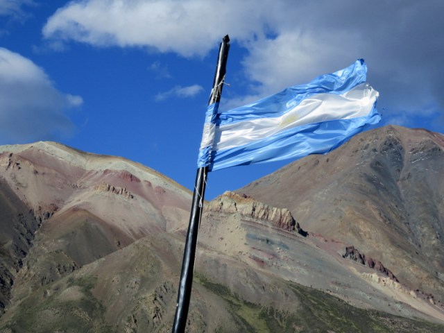
It was time to go to the other side of the mountains, Paso Robalo:
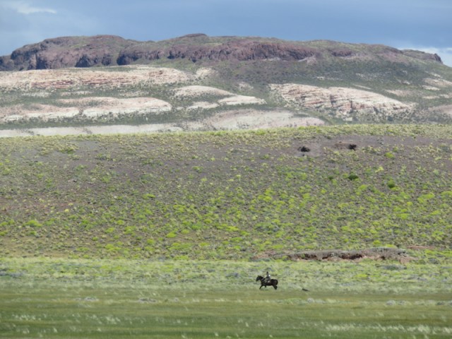
What looks like a gaucho…..
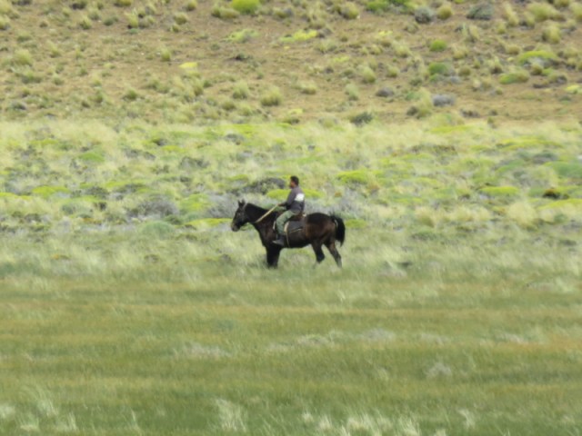
…is a border patrol guy.


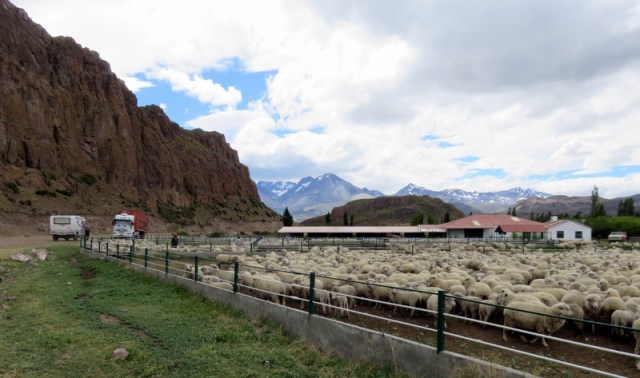
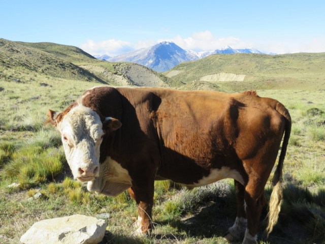
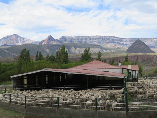
On our way over to Chile we passed this estancia, they were just in the process of seperating the sheep. So we stopped and watched, the truck near us in the photo was waiting to load lambs.


Yes, more guanacos!


Parque Patagonia,Chile: Doug Tomkins and Kristine Mc Divitt Tomkins bought several large pieces of property and let the farmland go back to wilderness. It was beautiful!


Great photos. Vielen Dank.
LikeLike
Hallo Sissi, tolle Bilder!!! Wie immer!
Heute nähen wir Puppenkleider für Linda und Nadine……
Endlich wieder einige Plusgrade!!
Gruß Hela
LikeLike
Allerst einmal Alles,alles Gute zum Geburtstag. Jetzt sind wir wieder gleichalt. Hoffentlich habt ihr das gefeiert, du hast ja wirklich was zum feiern dass es dir wieder so gut geht. Deine Fotos waren wieder einmalig, Argentinien ist doch wirklich schoen. Wir werden heute Abend auf dich das Glas heben.Ich bin gerade am Kochen. Allrs Liebe von mir und Lucas und Adrian.
Kristina
>
LikeLike
And Pink Flamingos!!!
LikeLike