Northern Argentina , south along the Andes

End of January 2016

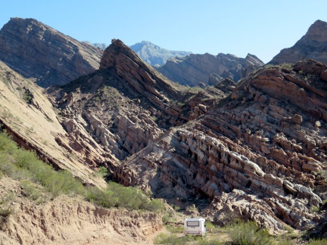
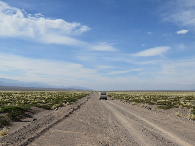
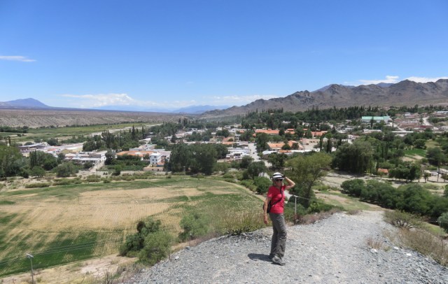
The eastern slope of the Argentinian Andes is drier than we had expected. However, sophisticated watering systems, some dating back to the indigenous people, allow for irrigating and agriculture.

Slowly we worked our way south. We wanted to visit Aconcagua, the highest mountain in South America at 6,961 metres (22,838 ft), and the highest point in the Western Hemisphere and the Southern Hemisphere.

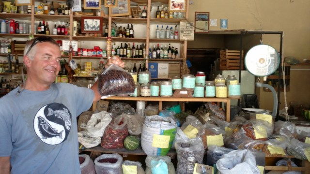
In Cafayate we stocked up one more time, coffee had been hard to come by and we love our two cups every morning. Time and again we bought beans or ground coffee that did not make us happy. It tasted weird, we couldn’t figure out why, maybe they were just cheap beans (robusta) usually roasted with sugar. The cup of coffee in the coffee shops tasted great though. Still, mate is what many people drink and coffee is not that important.

IMG_20160120_124539795-1

Finally, some decent coffee beans.


IMG_5323

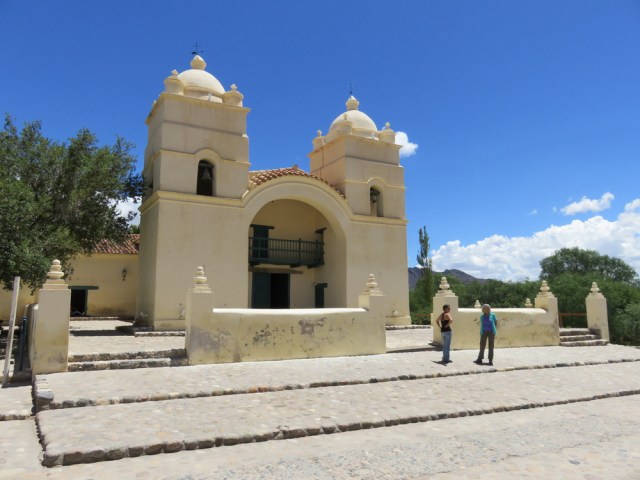
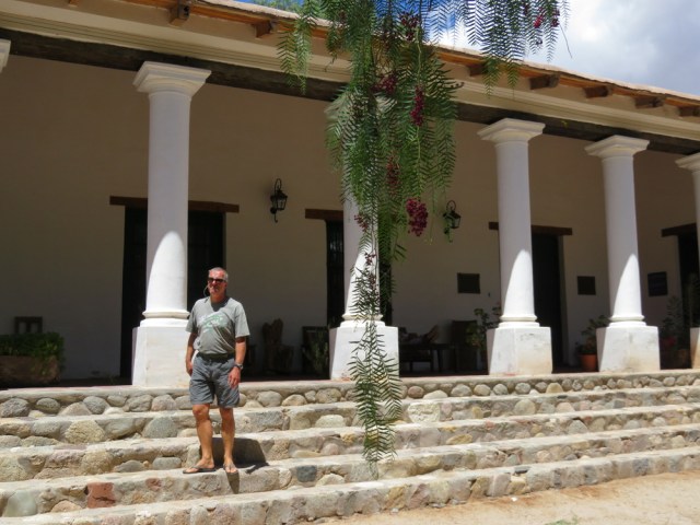
Molinos, south of Cachi.

IMG_5370

The countryside on the way to Cafayate is amazing.

IMG_5339

IMG_5321

Red pepper tree near Molinos

Barreal-007

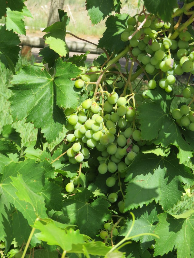
Torrontés is a white Argentine wine grape variety, producing fresh, aromatic wines.

IMG_5319  IMG_5322 IMG_5320


IMG_20160121_074840769_HDR-1

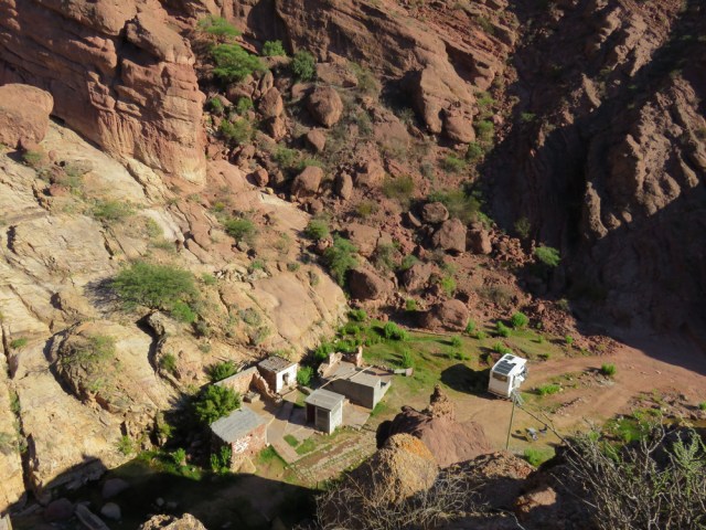
After a long drive from Cafayate we headed up into the mountains and settled down at Los Nascimentos Hot Springs.

IMG_5398

IMG_5388

IMG_5405

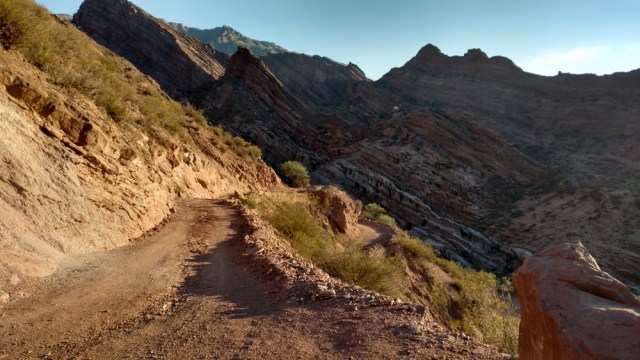
The road ends at the hot springs. We were alone there for three days.

IMG_5390

IMG_5428

Bye bye Nascimentos, it was great.

Cienaga to Barreal-045

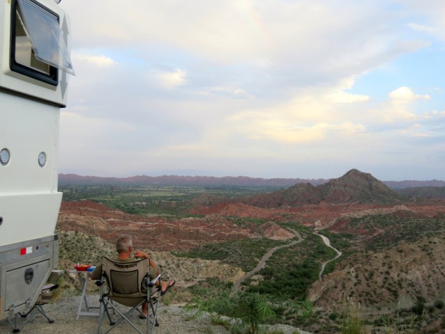
Not a bad view from this camp site at La Cienaga.

20160124_065744

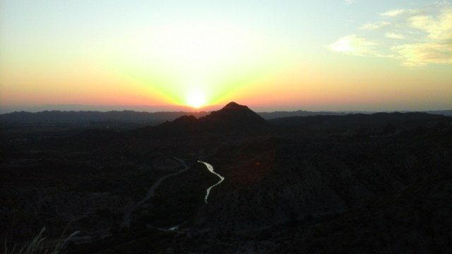
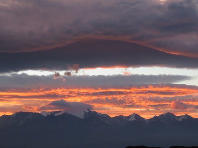
Here comes the sun na na na

Cienaga to Barreal-004

Cienaga to Barreal

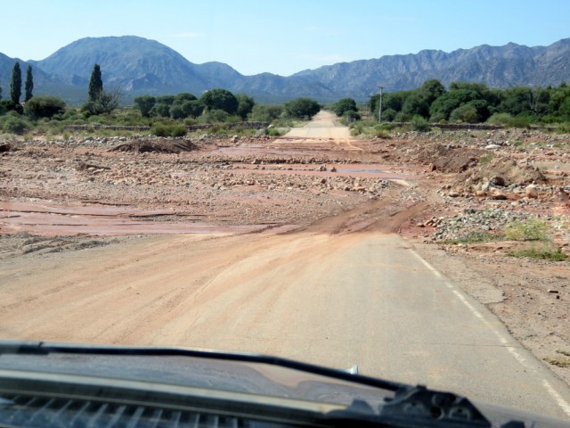
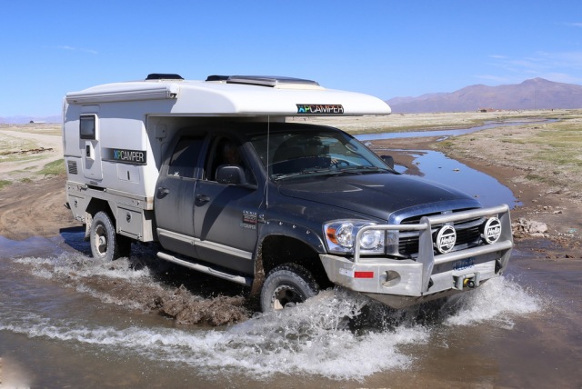
Heave rain fall in the mountains made for some crazy “baden” crossings.

Cienaga to Barreal-010

IMG_5606

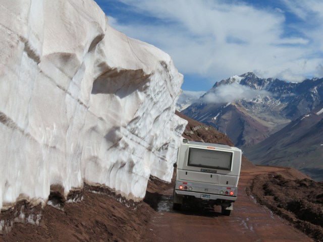
Uspallata Pass, 4000 m (13 000 ft)

IMG_5623

“Christ the Redeemer” The 7m-high bronze statue was commissioned from sculptor Mateo Alonso of Buenos Aires and erected here in 1904. There are two plaques at its base. One reads “He is our peace who hath made us one.” The other, placed there in 1937, declares: “Sooner shall these mountains crumble into dust than Argentines and Chileans break the peace sworn at the feet of Christ the Redeemer.”

IMGP6425

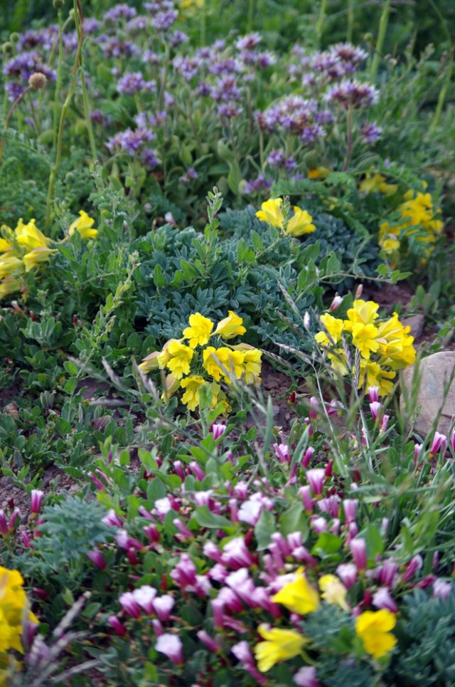
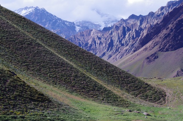
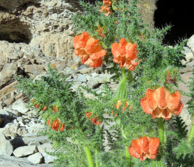
Wildflowers at the base of the mountains near Aconcagua

IMGP6424

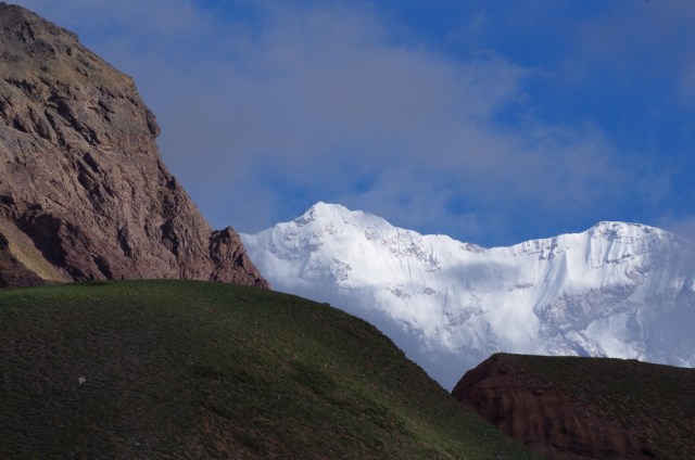
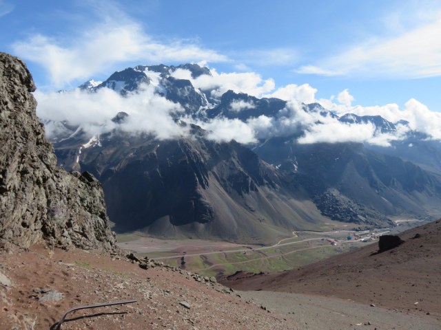
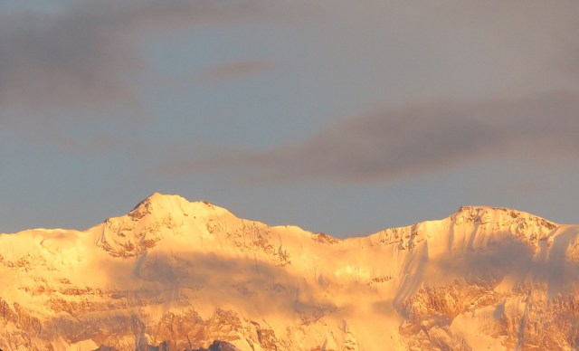
Aconcagua

IMG_5575

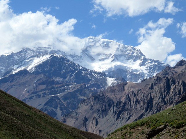
Aconcagua again

IMG_5611

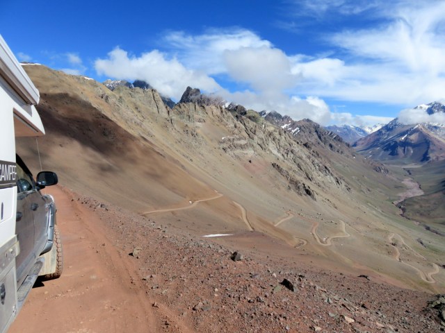
Uspallata Pass, border to Chile.

  IMG_5635 IMG_5630  IMG_5614  IMGP6427  IMGP6412 IMGP6411 IMG_5583 IMG_55862016-01-30_19.49.52[1]   IMG_5595

IMG_5570

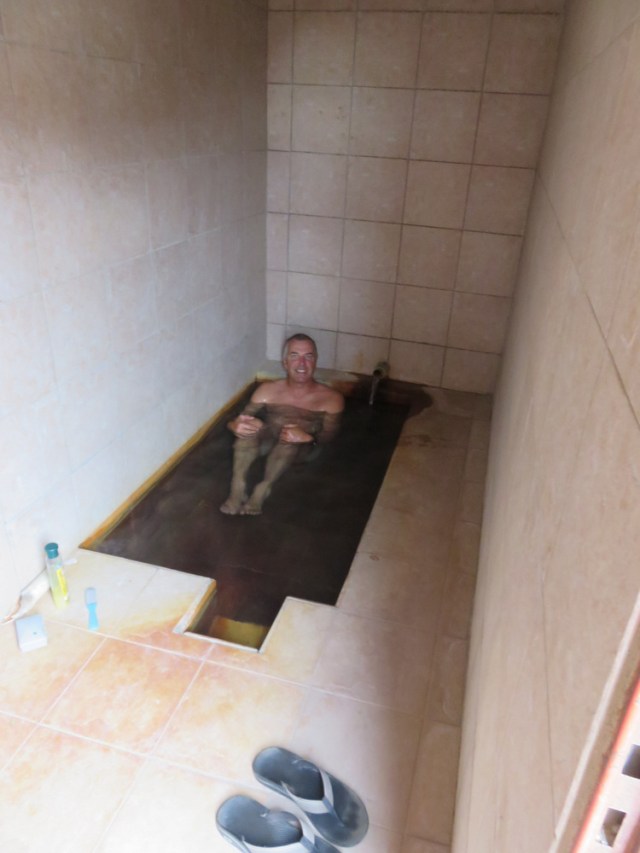
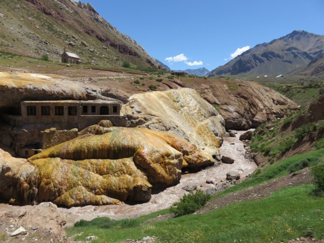
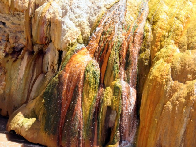
Hot sulphur springs at the Inca Bridge. There was a hotel-spa here years ago, now all you see are the remnants.

 IMG_5571 Barreal-012


IMG_5540

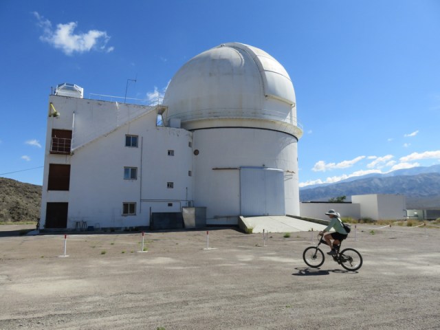
Leoncito National Park has several observatories.

Cienaga to Barreal-031

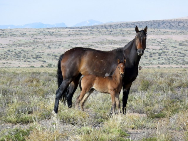
The only living thing we saw in the pampa were horses.

Cienaga to Barreal-037

Tocota pampa, not a good place to cross after rain storms in the mountains.


Cienaga to Barreal-026

CHRISTO DE TOCOTA: This Jesus statue stood there all by itself in the middle of nowhere, we camped at the base and felt protected.

Cienaga to Barreal-030

IMG_5558


← Back

Thank you for your response. ✨

Posted in Argentina | 2 Comments

Northern Argentina

In San Pedro de Atacama (Chile)  we said good-bye to our friends and took off for Argentinian border. A new country again, how different they have all been, and how interesting. The border was the usual “gong show” and again, we had to pay $ 160 each to be able to enter the country. Fruits and veggies, dry beans, fresh eggs and such all are “verboten”. We knew that this time, boiled the eggs and had a big cook off before hitting the border. The drive was beautiful, more canyons and desert. We were dying for some green and drove to Salta. Argentinians love car camping and there are many camp grounds to choose from. Some nice and clean, some not so, some with wifi (usually bad) some with pools (usually empty). We wanted to visit the town of Salta and the Dodge dealer. The truck has been running really well, but an oil change was due. So we headed for the Salta municipal campground and got a good dose of Argentinian campground life.

It was summer vacation time (mid Dec to mid Feb) and the camp ground was full, the pool was huge but empty. A big part of their camping experience is grilling and consuming lots of meat, listening to music from the car stereos, drinking mate and socializing. One has to get used to their timing, the afternoons can be quiet when everybody is napping. They come back to life in the evening, start their fires around 10 pm, cook and eat around midnight and sometimes you can hear them and the music until the wee hours in the morning. We found out the hard way and were laughing when we woke up in the middle of the night and were both groping around the camper trying to find our ear plugs.

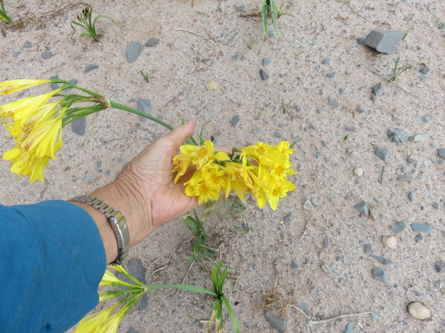
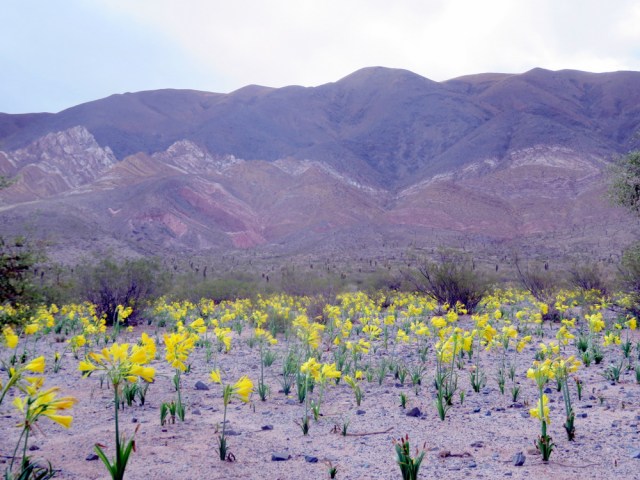
In Cachi, a little town in the hills we decided to stay for a while. The climate was mild, the air clean and the sleepy town nice. To get there we drove to through more desert, there had been one of those E Nino downpours a few days before and the desert was blooming, covered in yellow Hieronymiellas that grew between large cardon cactuses. We kept going south, headed for wine country (Mendoza area) and to the high mountains again.

Salta-002

Lise and Sissi, Cathedral of Salta


Salta-004

Salta: Basilica San Francisco


IMG_5263

Cachi

IMG_5307

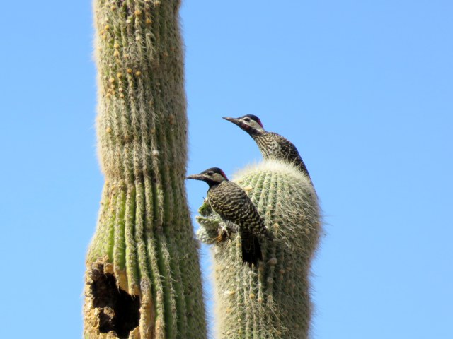
Andean Flicker


IMG_20160116_111656164

Günter testing the waters


IMG_5273


IMG_5298

IMG_5300IMG_5305IMG_5259IMG_5253

IMG_5252

Hieronymiella Aurea

← Back

Thank you for your response. ✨


Posted in Argentina | Leave a comment

The Lagunas of Southwestern Bolivia

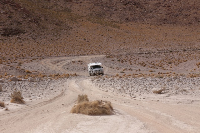
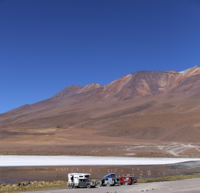
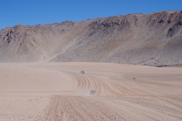
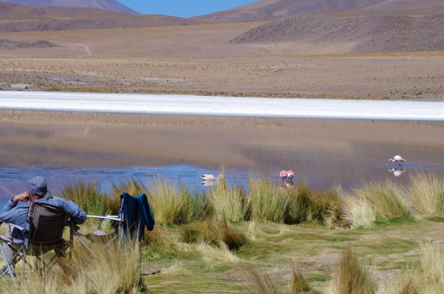
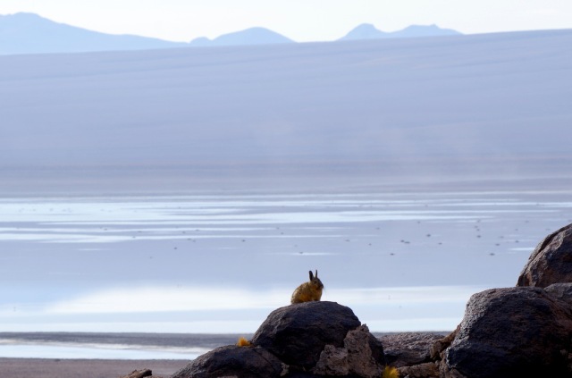
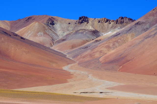
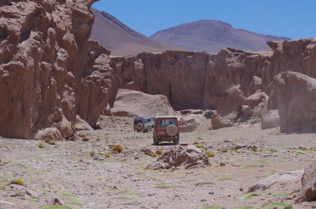
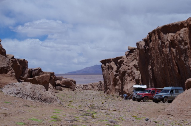
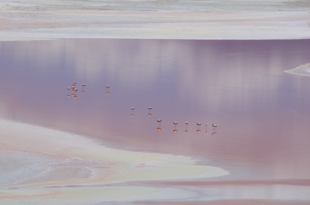
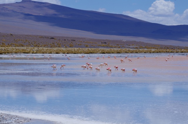
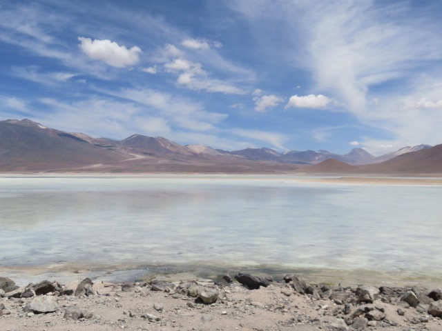
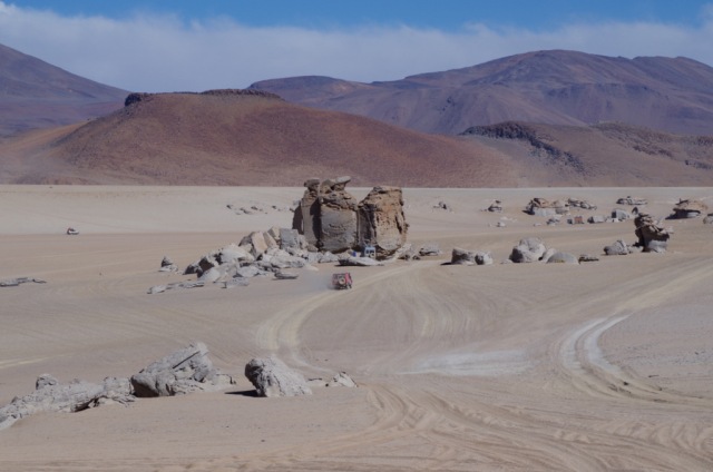
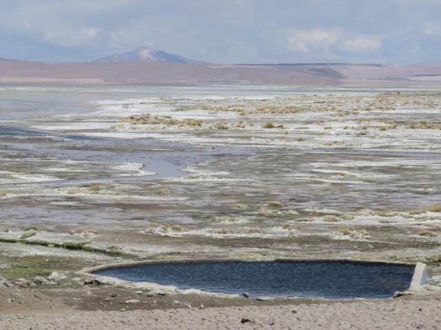
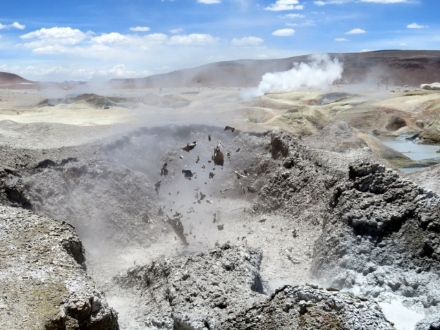
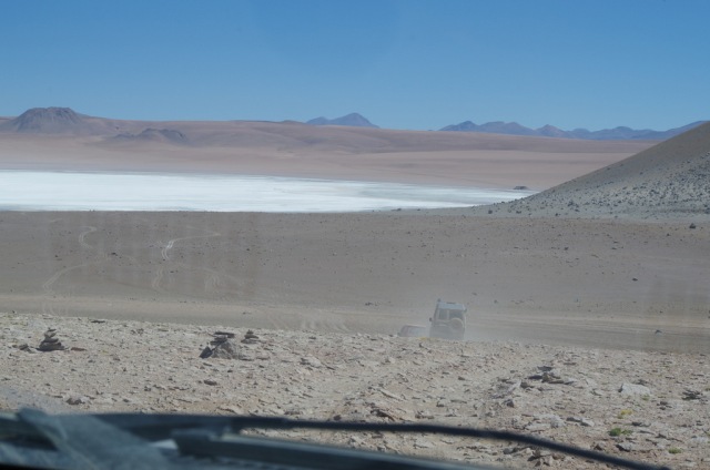
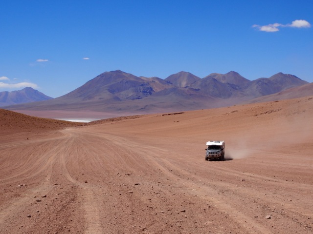
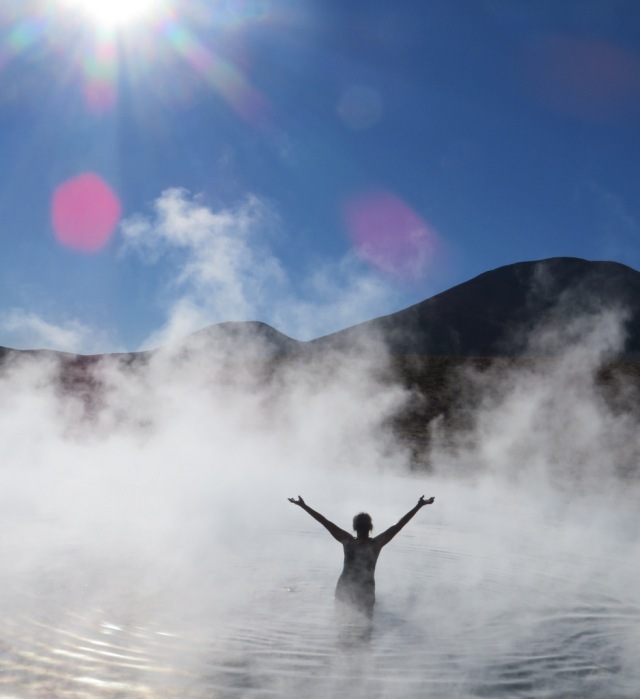
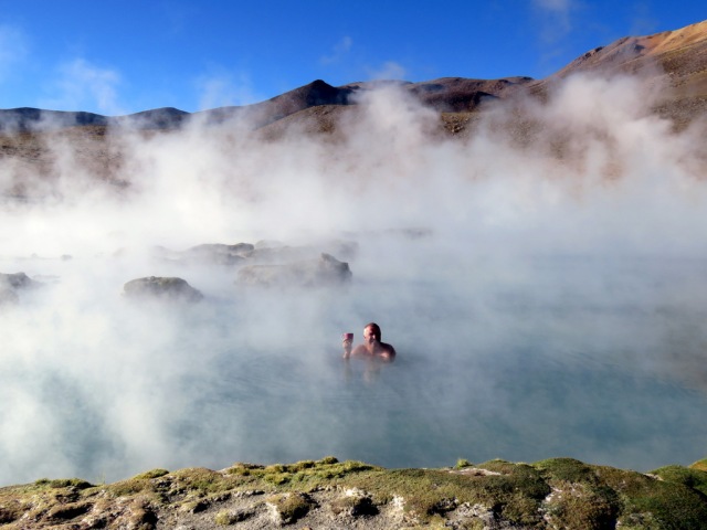
The ” Lagunas Road” as some people call it, is (actually called “Reserva Eduardi Avaroa”) is on many peoples list, a series of salt lakes in the high desert of western Bolivia, connected by several roads or tracks, the altitude always 4000 m or higher. It is a harsh country, windy and it can get cold at night. There are no towns until you cross the border to Chile, this remoteness makes it a perfect home for flamingos and vicuña. The lakes are very picturesque, due to minerals and algae the reflect in different hues of color and are named accordingly. We drove the western route and spent the first night at Laguna Ganapa. The six of us parked the three vehicles near the edge of the lake and just could not get enough of the flamingos. Early in the morning their quiet chatter woke us up, we went outside with our cup of coffee and sat quietly, so not to interrupt them as they busily searched for food. But what’s that? Wroom wroom, here come the “Adventure Tours”, Landcruisers packed with tourists looking for an adventure. One after the other, originating either in Uyuni or San Pedro the Atacama they start out at 4 am (a lot of km to cover) unload their international clients for a quick photo shoot and then race on to the next site. So suddenly we had a gaggle of Chinese girls posing with the flamingos and “high fiveing” all around us. Luckily it did not seem to faze the birds much, but we broke camp and drove on. Later we talked to a guide as we lounged in a hot spring on the route. He told us that there are around 150 to 200 tour vehicles that drive the circuit Salar/Lagunas and they are very busy all year around. They drive much faster than us, it took us several days for the 450 km route. The road is rough and dusty, places for our campers to spend the night – out of the wind – were hard to come by. So we either huddled behind a rock outcropping or in a canyon.

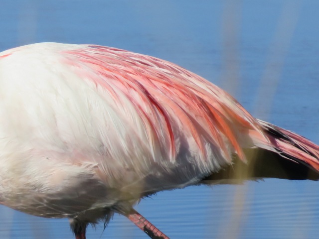
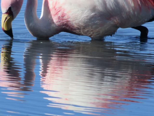
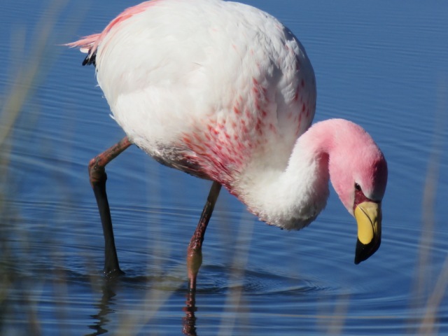
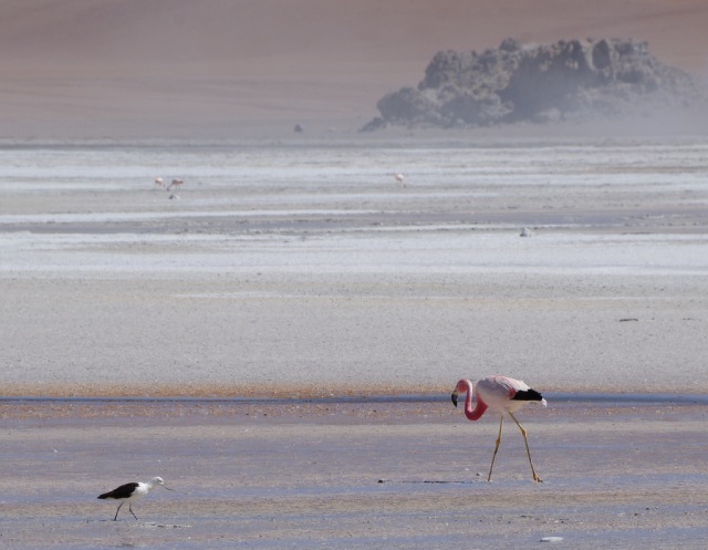
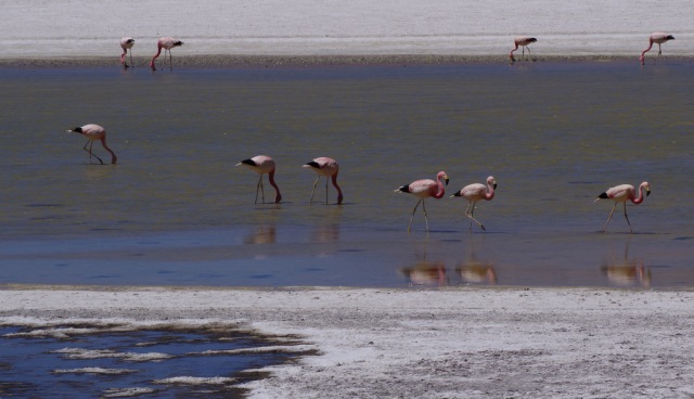
It really is an amazing area, high desert, salt lakes and high mountains, geysers and hot springs. But what we loved most were the many flamingos – three different kinds – in the lagunas.

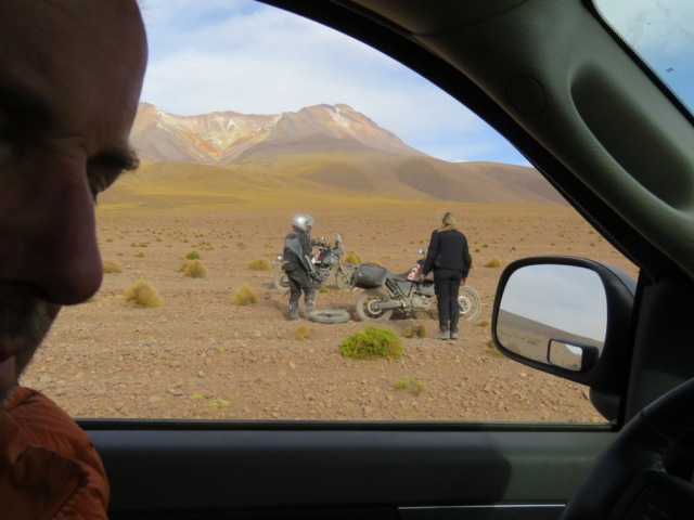
One day, in the middle of nowhere, and in an area with very rocky roads, we came upon a group of motor cyclists from Italy, they had three flat tires and two broken air compressors, a sick guy in the support vehicle and one less motorcycle than they started with because Bolivian customs had confiscated one at the border. We helped them out as well as we could and sent them on their way.

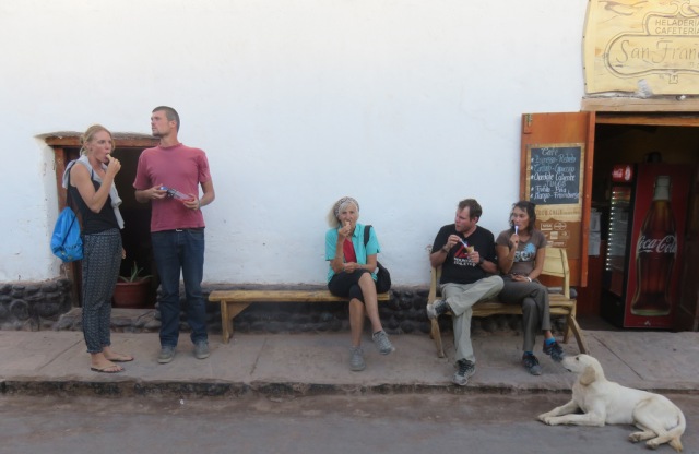
When we left Bolivia we crossed into Chile to go to San Pedro de Atacama for supplies, do laundry and take lots of showers to get all the dust off. Driving into San Pedro on a paved road was a real treat. San Pedro was bustling with tourists, young and old, lots of tour operators, nice restaurants, street dogs and ice cream parlors. Heaven for Günter, I now call him “Senor gelato”!

IMG_5172

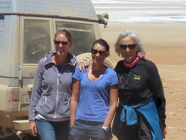
“The Team”.

IM6_1025

IM6_1034

First night at Laguna Canapa.


IMGP6252

On to the next laguna.

IMGP6246

IMGP6371

A chinchilla


IMGP6363


IMGP6314

Finding a place to spend the night, out of the wind.

IMGP6317

All snug.

IMGP6310

Laguna Colorda

IMGP6294

IMG_5189

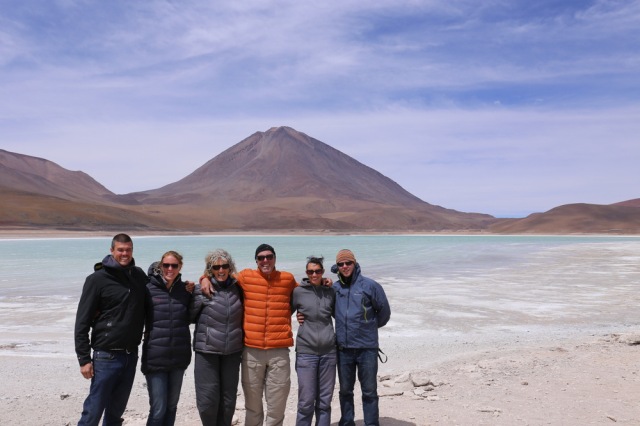
Laguna Verde

IMGP6266

Another great camp site out of the wind.

IMG_5166

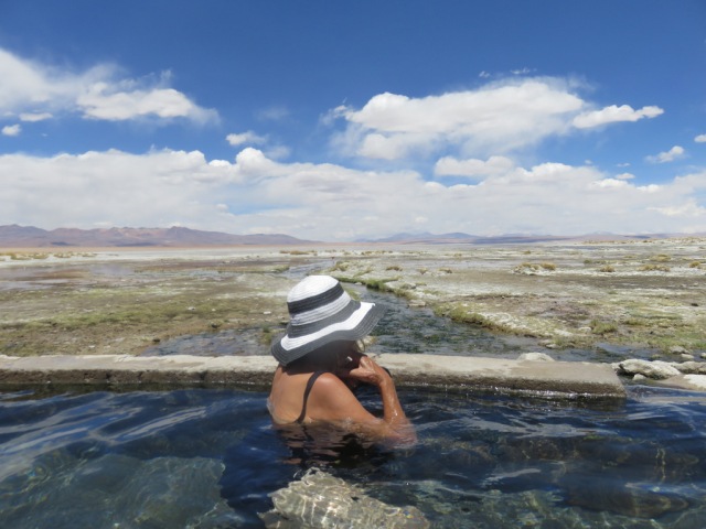
Hot springs

IMG_5143  IMG_5120

IMGP6208

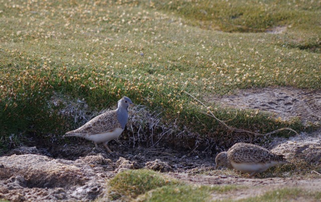
Grey breasted seed snipe.


IMG_4985 IMG_4984 IMG_4982

IMG_5019

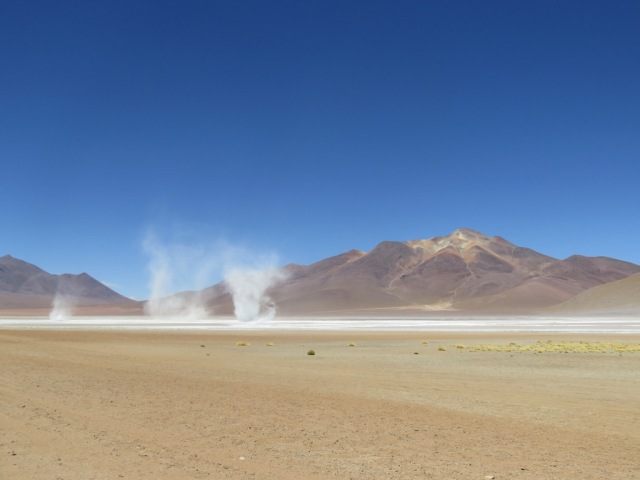
Salt devils

IMG_5015

Happy campers.


IMG_4934

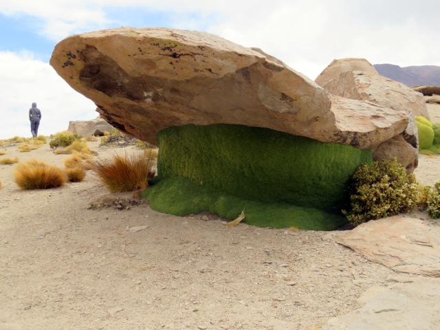
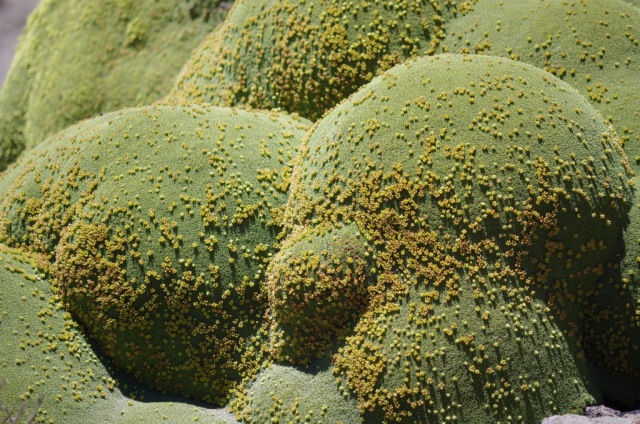
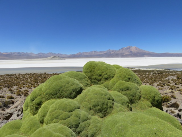
What looks like moss covering rocks, is actually a bush with densely packed branches. It is called yareta, high-altitude plants which can live up to 3,000 years.


IMG_5052

IMG_4954

The Italians with three flat tires.

IMG_4958

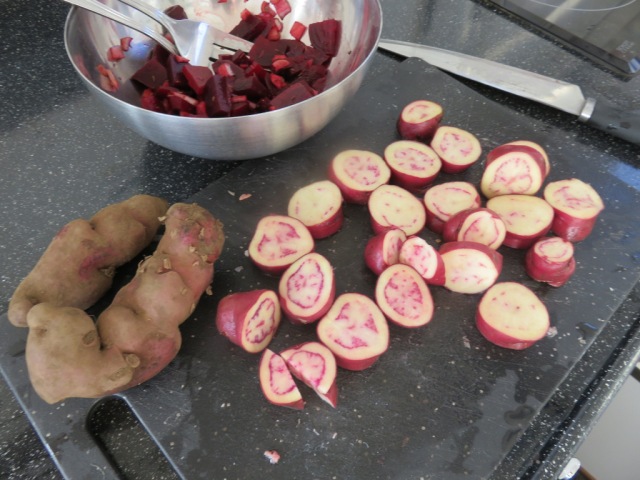
Strange potatoes, but so good.

IMGP6260

IMG_4940

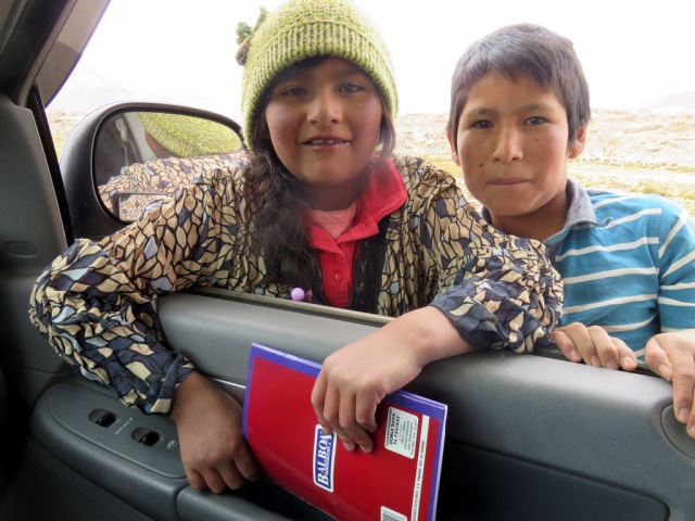
They scored, we gave them the last coloring book and crayons.

IMGP6265

IM6_1184

IMGP6380

IM6_0558

OLYMPUS DIGITAL CAMERA

IMG_5199

San Pedro de Atacama helado stop.

Posted in Bolivia | 10 Comments

Salar de Uyuni

New Years 2016

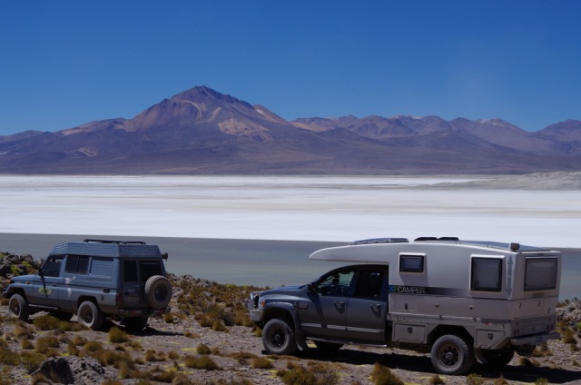
The new year was just around the corner, we – the trio of two Toyota Land Cruisers and one XP Camper – planned to celebrate the coming of the new year on the biggest salt flat in the world : The Salar de Uyuni. In Oruro we needed to fill our fuel tanks, not always easy in Bolivia because not every gas station is allowed to sell to foreigners. Some do, but the price is usually more than double. We went to four gas stations and got sent away, Günter was getting frustrated, the fifth one finally agreed to a cash deal and gave us all the diesel we needed. During that time we lost our friends in city traffic and took off on our own – thinking they would catch up.

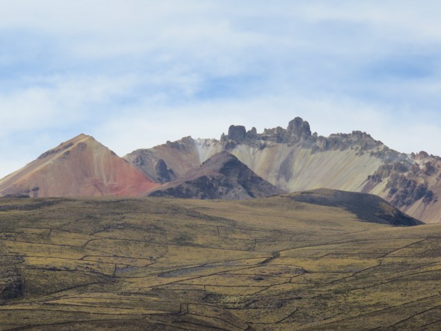
We entered the salar from the north, near volcano Tunupa. The drive there was interesting, Aymara villages and quinoa fields, sadly, due to El Nino, they had not received enough rain and the fields looked parched.

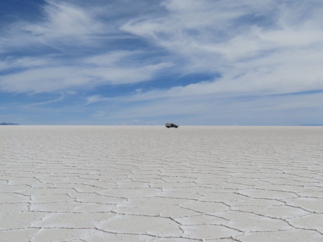
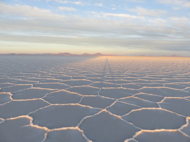
Salar de Uyuni is the worlds largest salt flat, spanning 4086 square miles (10,582 sq. km) in south-western Bolivia. Unlike traditional deserts, which have sand in abundance, the Salar de Uyuni features vast expanses of glistening white salt. The landscape is entirely flat, bar a few small ‘islands’ which only accentuates its surreal beauty. Underneath the cemented 2 to 7 m of salt are large reservoirs of lithium-rich brine. In fact, approximately 70% of the world’s lithium reserves are found in Salar de Uyuni and thus it’s not surprising that there’s an entire industry devoted to its extraction.

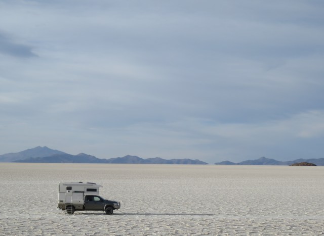
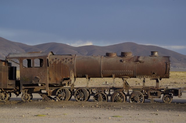
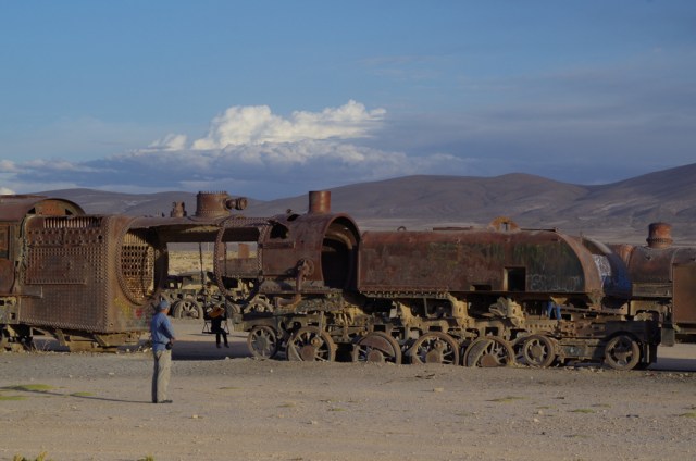
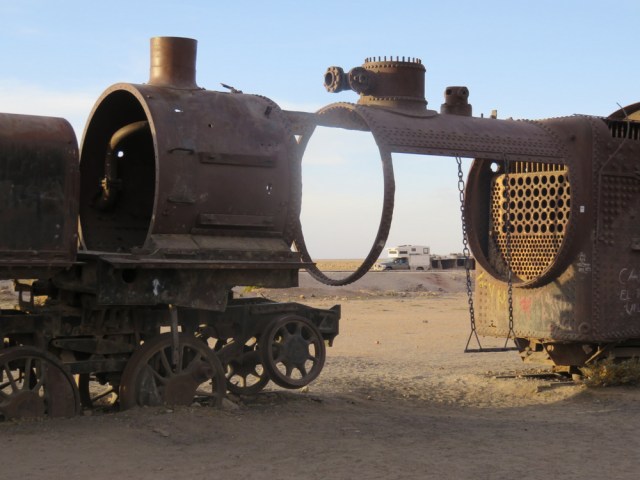
The salt crust is hard so we flew through this white expanse and headed for Pescador island (not Pescado Island where all the tour groups go), a fitting name for fishermen from Alaska. It feels weird to navigate on a lake and looking for an “anchorage” while driving your truck. After some searching we “anchored” off a point, trying to stay out of the wind. Our friends never showed up, the next day Günter climbed the highest peak on the island and looked all around. Just white and more white and no vehicles anywhere. The next island had a better cove and a cave to hike up to, still no sign of our friends with the two Land Cruisers. After spending the second night at Huanacuni island we decided to move on, leave the salt flats and camp at the train grave yard near Uyuni, they would surely come there. Yes, they had been one day behind us all the time and we finally met up again at the train tracks.

IMG_4799

Vulcano Turunga, you can hike up to the left peak.

IMG_4806

The pedal to the metal 🙂

IMG_4867

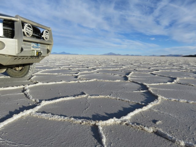
Driving on salt

IMG_4813

Camping on salt


IMG_4827

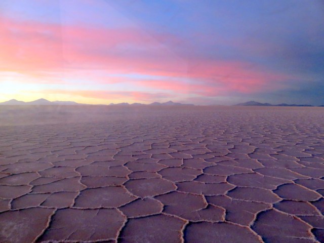
Salar sunset


IMG_4855

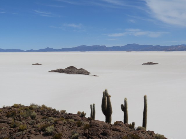
View from the top of Pescador Island


IMG_4849

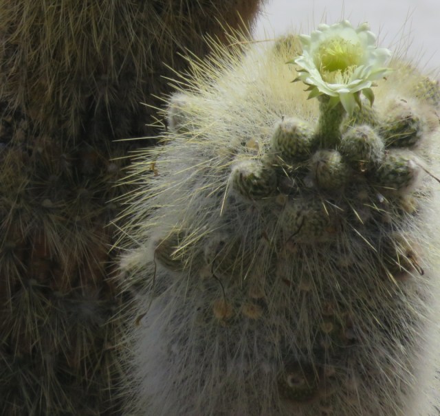
Blooming cactus on one of the islands, we saw a hummingbird buzz around  as well.

IMG_4885

Caiophora


IMG_4832


IMG_4837


IMG_4897

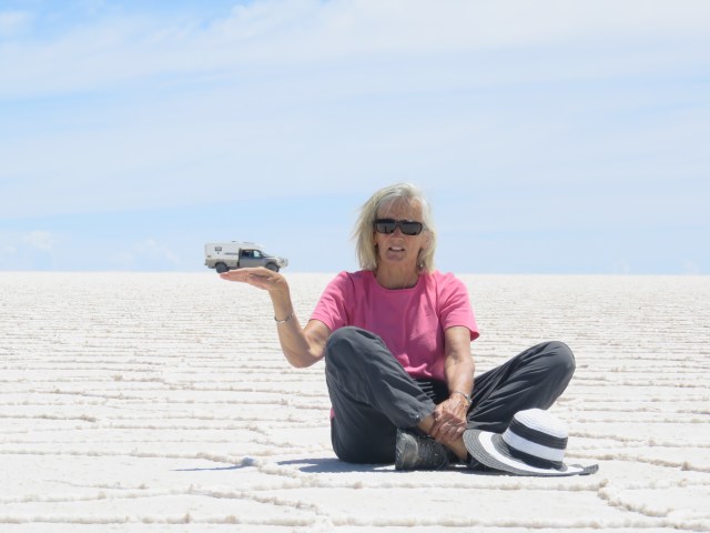
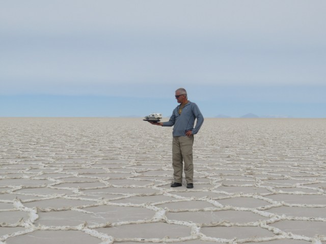
we kept trying to take a salar picture….

IMG_4866

….and trying…

IMG_4909

…..and finally got a good shot.

IMGP6188

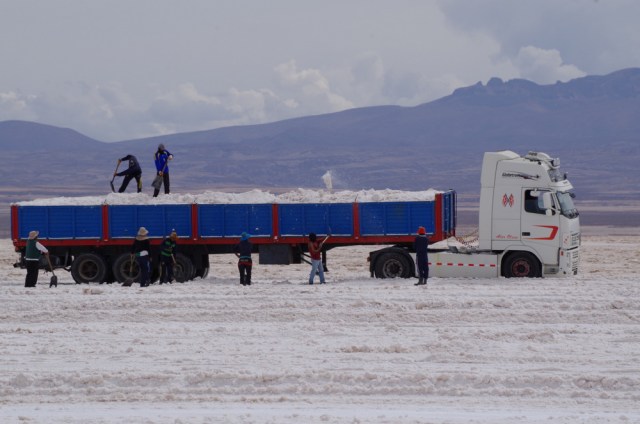
harvest

IMGP6180

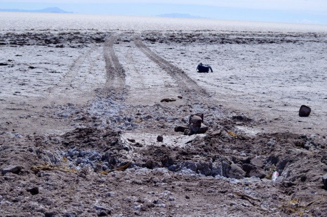
If you venture too close to some of the shoreline, you can get stuck!

IMGP6191

IMGP6190

IMG_4919

← Back

Thank you for your response. ✨


Posted in Bolivia | 2 Comments

Chipaya pictures

IMGP6125IMGP6129 IMGP6126  IMGP6130 IMGP6132 IMGP6134 IMGP6135 IMGP6136 IMGP6139 IMGP6153 IMGP6166 IMGP6174 IMGP6175

Posted in Bolivia | 7 Comments

Northern Bolivia and Chipaya country

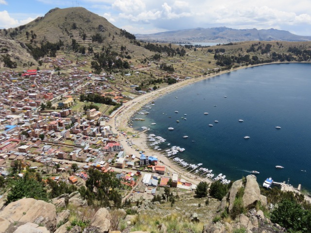
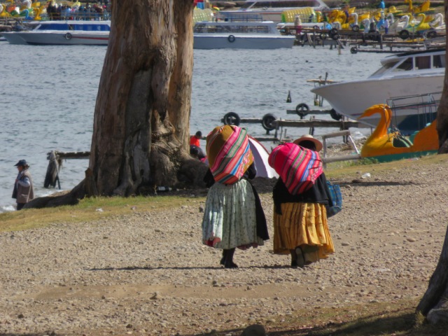
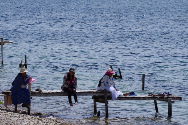
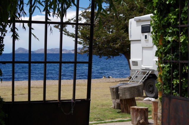
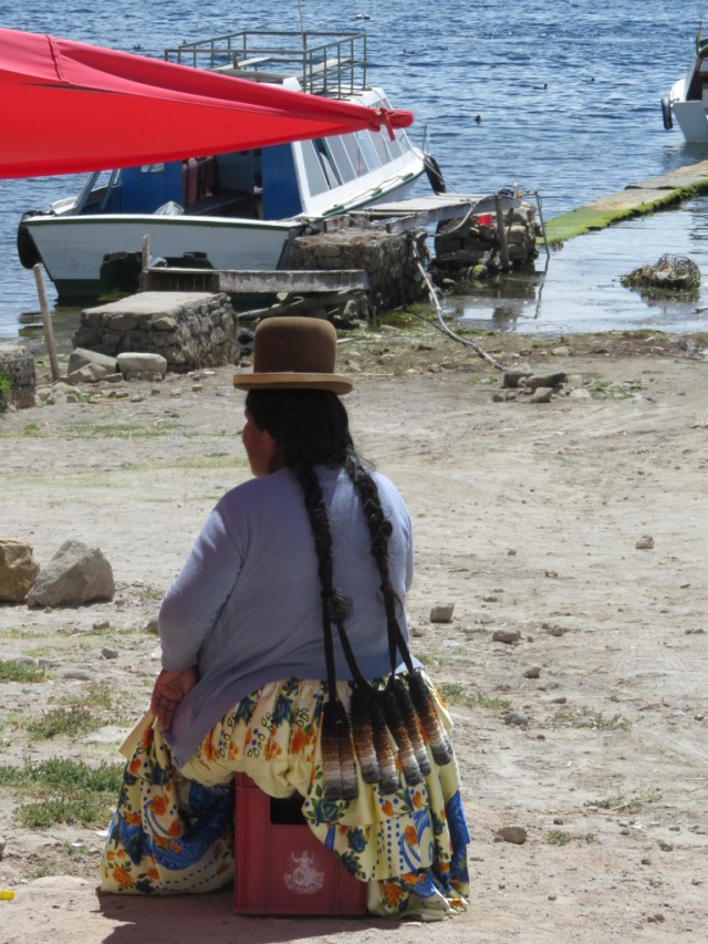
Crossing the border into Bolivia went smoothly, but they charged us 160 US Dollars a person to visit their country because we are US citizens, our European friends entered for free.   We drove on to Copacabana, yes – this is the original Copacabana we were told. The one in Brasil is named after this town. Downtown was buzzing with international backpackers (young and old) and vacationers from La Paz. We camped at lake Titicaca in front of the gate to a hostel, at the edge of town. Every morning I watched two women row out their wooden boat and come back with buckets of trout, they fished with gillnets, wearing their skirts and shawls and all. Then they wrapped their shawls around the bucket, heaved them on their backs and walked past our camper to the market. (The trout is an introduced species from the northern hemisphere and is endangering the survival of several native species in the lake.)

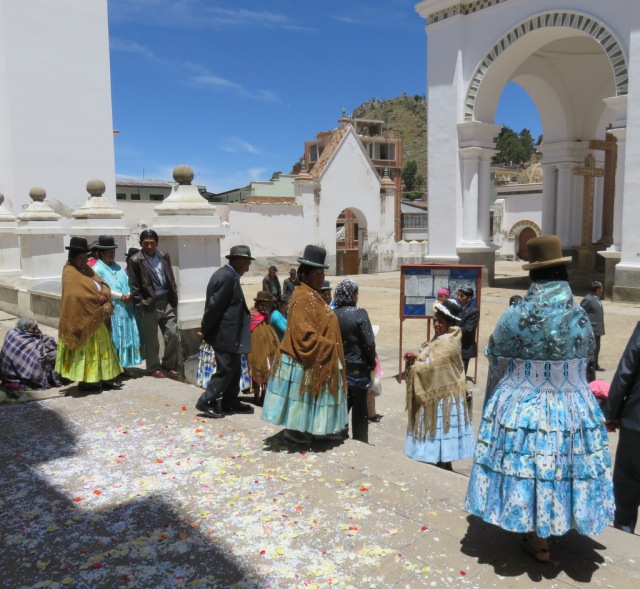
The town has two highlights, the Basilica the Nuestra Senora de Copacabana and the Franciscan padre that will bless your car. The cathedral is really beautiful and should not be missed. On the way out you might see the padre blessing that are decorated with flowers and banners. For a small donation he will bless your camper too.

IMG_4425

Copacabana

IMG_4401

Fishing women bringing their catch to market.

IMGP5928 IMGP5919 IMGP5903

IMG_4412

Leaving church after the mass

IMG_4427

Nice hair extensions Bolivia style.

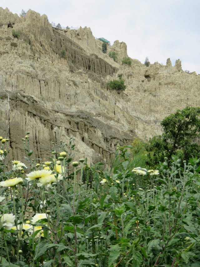
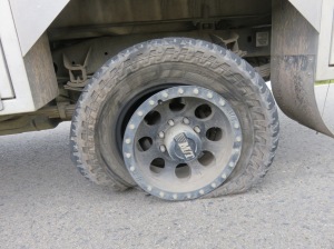
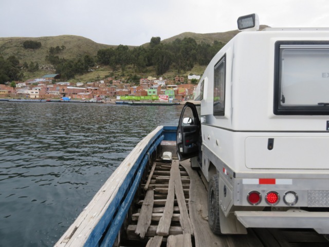
We planned to meet up with our overlander friends Lise and Laurent from Elsass/New Caledonia and Sabine and Andy from Switzerland to celebrate Christmas, visit the salt flats and drive through the Laguna road together. Our original plan to celebrate Christmas in the historic town of Sucre was changed quickly when we had another flat tire shortly after we got off the ferry that took us across lake Titicaca, from the peninsula to the mainland. We really did not want to drive all those unpaved and rough roads in the Bolivian Altiplano to Chile with four bad tires and one badly patched spare. So off we went to La Paz in search for tires yet again. And yes: We found them!

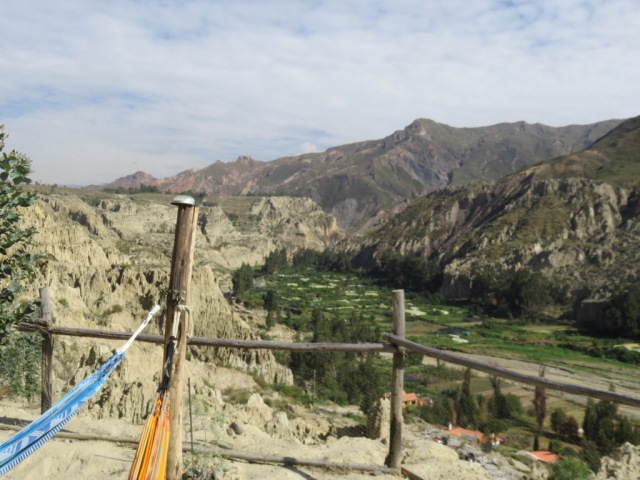
We camped a nice quiet camp ground near the city called “Colibri camping”. It is perched on a sand stone cliff with great views of a valley below. Our Land Cruiser friends showed up and as a bonus Petra and Anders on their motorcycles roared in too.

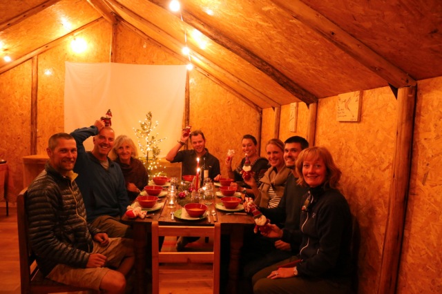
Everybody contributed a dish or two to the Christmas dinner and it turned into a feast.

IMG_4480

Up there is the campground

IM6_0202

Christmas eve in Bolivia

IMG_4464

Colibri Camping


IM6_0175

Lises Christmas cookies.

IM6_0207

Sabines muffins and mango mousse

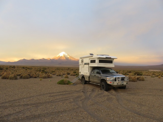
Our plan was to drive to Sajama National Park, then cross into Chile near Putre, drive south on the Chilean side and then cross back into Bolivia to visit Salar Uyuni, the world’s largest salt flat at 10,582 square kilometers (4,086 sq mi). When we arrived at Sajama National Park the weather did not look very inviting and the park fee had quintupled since October, so we camped in the Pampa near the border and crossed into Chile the next day.

IMG_4544

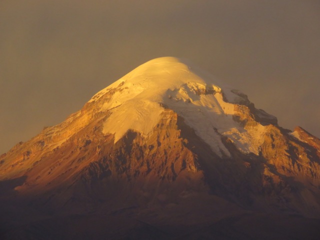
Mt Sajama

IMG_4541

Another great morning

IMG_4562

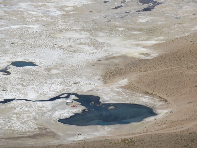
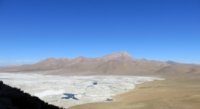
Bolivia, Chile and Argentina have strict rules about bringing fruits, vegetables, plants and sometimes meat into their country. So we always have to make sure we do not have any of these items along or else they get confiscated. So you come into Chile without much fresh food and then there are no stores anywhere for many miles. In Putre we found some blackish bananas, apples and a cucumber and then we set off, drove south through beautiful desert and mountain scenery. We stopped at different hot springs for the night and went for walks along salt lakes and watched vicuña and flamingos.

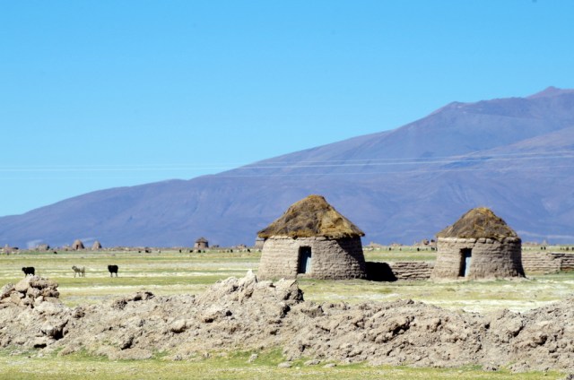
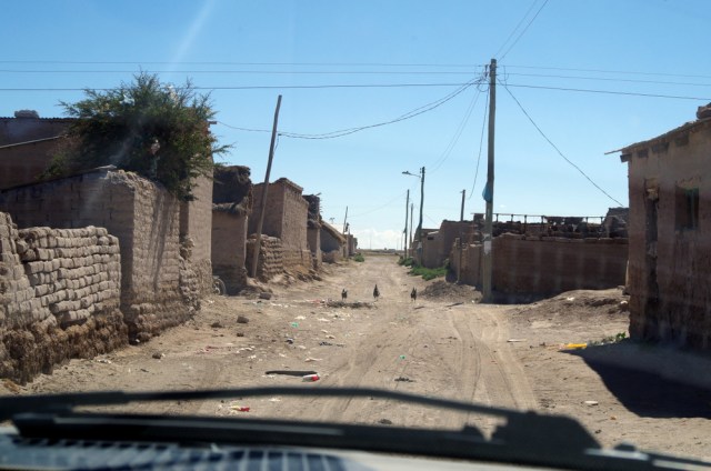
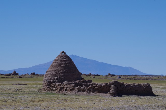
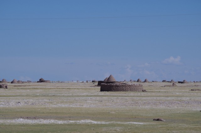
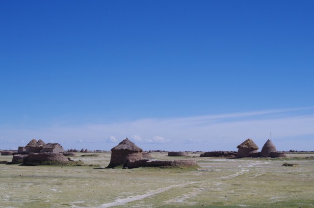
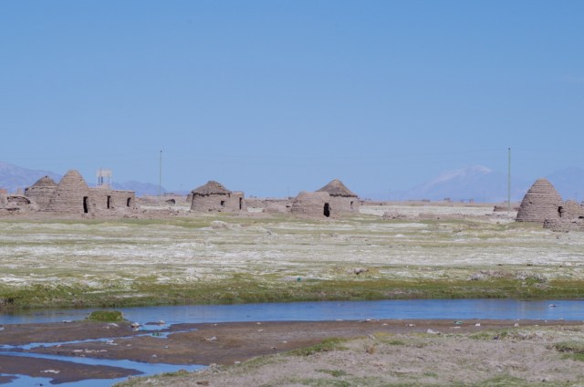
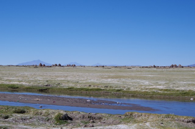
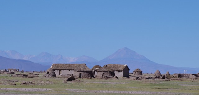
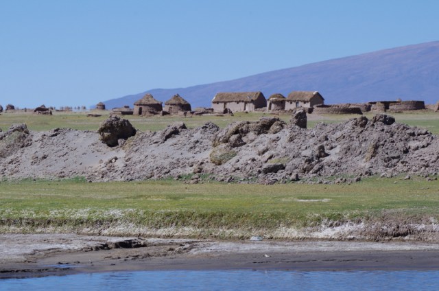
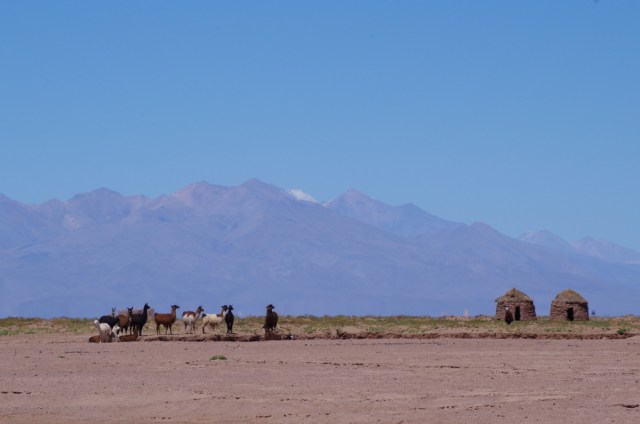
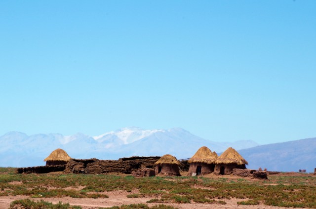
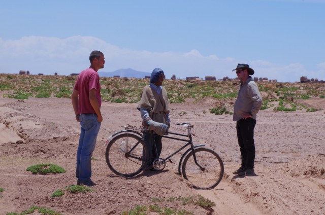
Back on the Bolivian side the three of us decided to take the shortest route to the north entrance of the salar. Like it happens now and then, the road in the map is not always a road in reality. So the six of us (two Land Cruisers and one XP) took the road less traveled and after crossing a waterway and some dry riverbeds finally ended up in sand dunes and the road was gone. On the way there we passed through a huge area of curiously round houses, hundreds of them, with fields dotted with sheep and llamas. We were in Chipaya land. As we were debating what to do next, a man in a grey poncho showed up on a bicycle, he was a Chipaya. He was very friendly and had a great smile. Anthropologists believe that the Chipaya are direct descendants of the Uru ethnic group, which populated the Altiplano thousands of years before the Aymara and after that the Incas came here. The Chipaya seldom get visitors, overlanders lost in the pampa are an exception 🙂 They live in and around the small town of Santa Ana de Chipaya, on the pampas that fringe the Coipasa salt desert, a smaller version of the Salar de Uyuni. Neither their language nor their customs have changed for millennia and they are different from the Quechua and Aymara ethnic groups that dominate the Altiplano today.

The man was very friendly and kept on talking to us, he was hard to understand but we figured out that he tried to tell us that we could not continue on. Sadly,  we had to turned around. We drove back and on to Oruro, it was not however a wasted day because we got to see what few people see. (A few weeks later we talked to a nice man near Laguna Verde, he told us that the Chipaya do not like visitors and will throw rocks if you try to take pictures. No wonder the road is gone 🙂

IMG_4442

IMG_4437

on the Ferry


IMG_4603

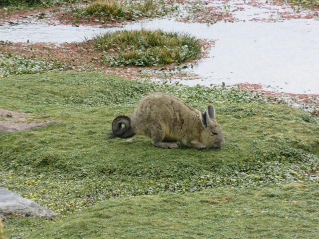
NO it’s not a rabbit, it is a viscacha (chinchilla)

IMG_4593

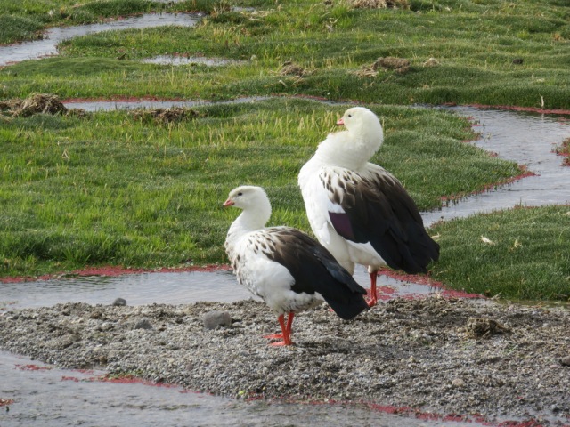
Andean geese

IMG_4601

IMGP6004

Salt flats in Chile

IMGP6011

Blooming yareta! It is not moss, it is a tight bush. A high-altitude plant which can live up to 3,000 years.

IMGP5995

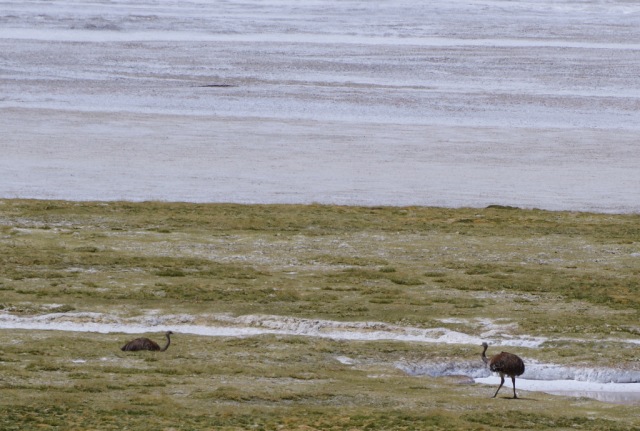
Rhea

IMGP6023

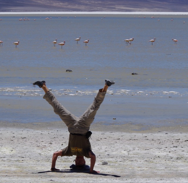
Upsidedown Oberstdorfian


IMGP6000-001 IMGP5979 IMGP5978

IMG_4711-001 IMG_4705-001

IMG_4678

Günter climbed up the mountain and took this picture of us (three campers) camping by the hot springs


IMG_4672

View of the road and the hot springs at the edge of the lake

IMG_4646

Yareta bush

IMG_4641

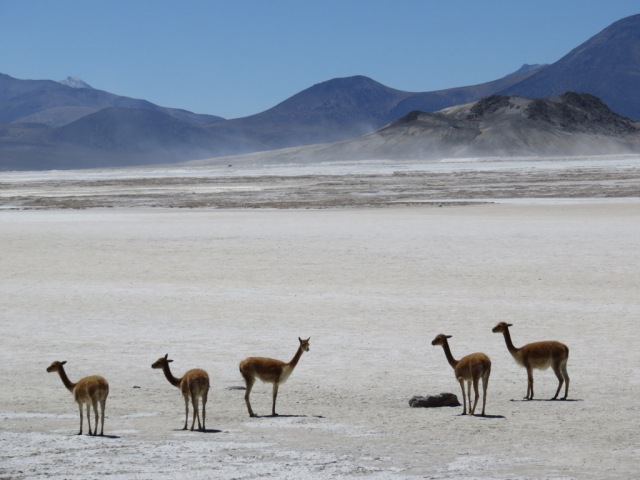
Vicunas on the salt flats

IMG_4652

← Back

Thank you for your response. ✨

Posted in Bolivia | 5 Comments

Machu Picchu

IMG_4199


December 9. to 15. 2015

The magic word. Who hasn’t heard of Machu Picchu and seen the Pictures of this Inca citadel on top of the mountains.. Many of our friends have been there, it is one of the most famous places in the world. The photographs of this mountain settlement of the Incas are breathtaking, traveling in Peru and not going there was not an option for us. Knowing how any place as famous as this was going to be touristy, we braced ourselves and joined in. We are no stranger to mass tourism and once we leave home to take a trip we are tourist too, tourists of a different kind though .

(Juneau, Alaska, our second home, is a perfect example of what we try to avoid on our travels. Cruise ships ply the waters of the Inside Passage and deposit thousands of tourists in our towns every day from May to October. They shop in mostly cruise line owned or affiliated stores and line up at the “Crab Shack” drooling as if they had not eaten in days. Back on board their floating “all-inclusive” hotels they happily line up at the buffets while their ship pumps their sewage into our fjords and switch to highly polluting bunker fuel as soon as they have left the harbor and rounded the corner, leaving a trail of brown smoke in/above their wake. Sorry, cruise lovers.)

But back to Peru:

Anna, my Cousins daughter from Oberstdorf was backpacking in South America this winter and we decided to meet in Cusco. She and her friends planned to do a treck to Machu Picchu.

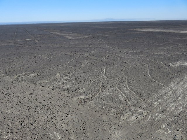
We left the coast and stopped at the Nazca area to looked at some of the lines, one really needs to take a plane to see them and the extend of the area where they are located.
IMG_4017

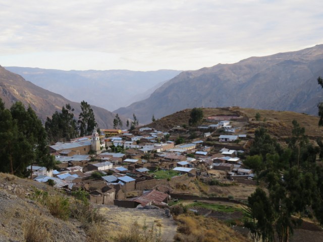
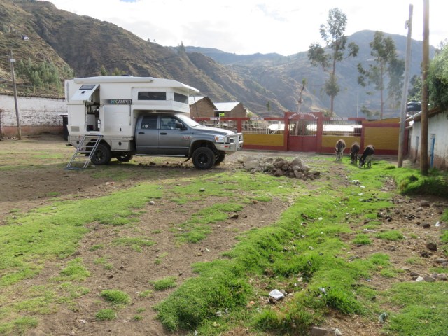
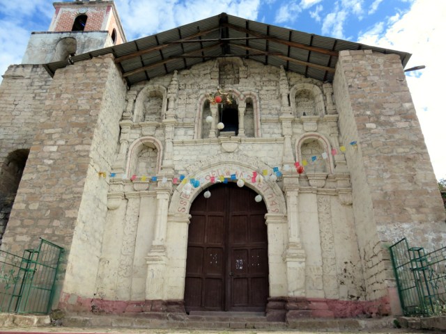
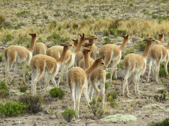
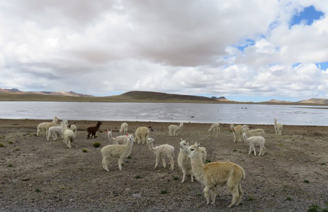
Then back up into the Andes, past herds of vicuña, through little towns and past beautiful lakes. The nights got colder as we worked our way up higher. The first evening we turned off the main road and drove into the hills to find a place to camp for the night. But the fields were fenced in with rock walls and finally we ended up in a little town called San Juan. We parked by the beautiful and very old little church and asked a lady if she knows a spot for us where we could spend the night. She and a horde of children directed us to a lot near the central plaza they called the “pampa”. There we stayed for the night and part of the next day, it was interesting to watch town life and we were being watched too. There are few cars and it was very quiet, we shared the “pampa” with some donkeys. A representative of the town hall came over in the morning to welcome us and wanted to know why we are here. The children hung out for hours and we let them come up the steps and look inside the camper. “Line up two and two” Günter told them, so we had a long line outside, two and two. We figured that close to 60 Children got to peak inside our “Casa Rodande” while most adults watched from a distance.
 

IMG_4023

Vicunas, so delicate, big eyes with long lashes and the softest fleece.
IMG_4056

Alpacas

IMG_4055

IMG_4024

San Juan, worth a visit.

IMG_4028

Our camping spot in San Juan.

IMG_4040

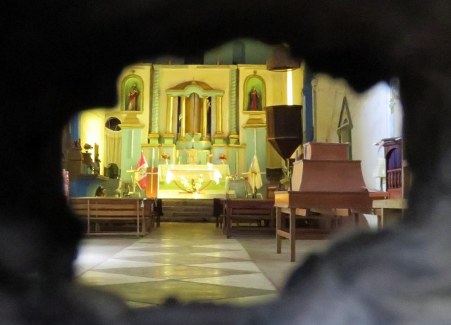
The little church has the date of 1749 above the door.
IMG_4045

Sneak peak through a hole in the door, it was locked.
IMG_4070

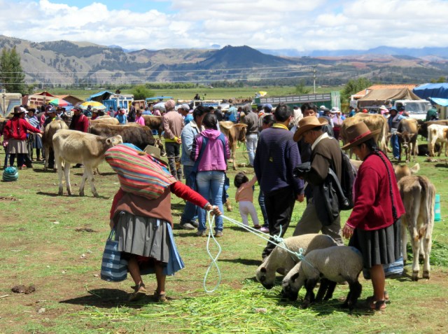
Market day near Cusco

                                                                      CUSCO

It took us three days to drive from Paracas on the Pacific coast to Cusco.

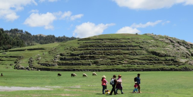
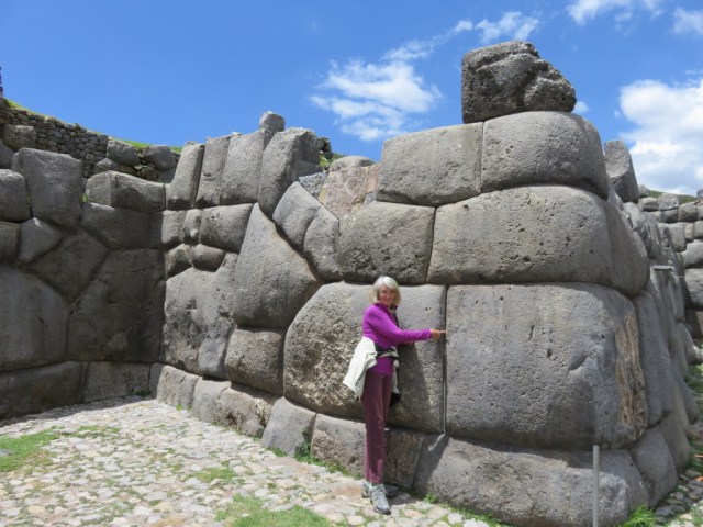
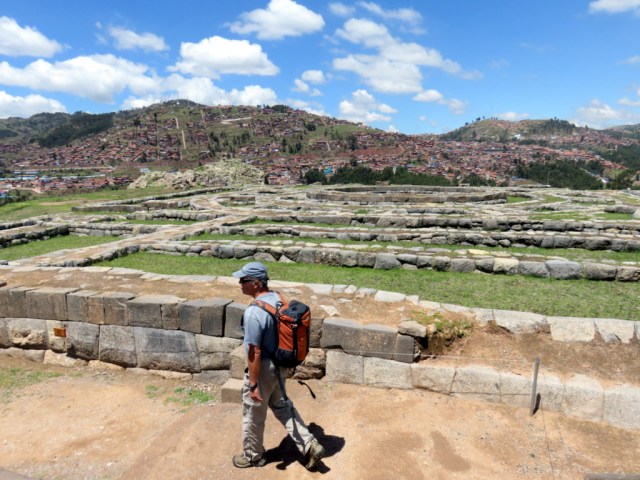
Cuscos historical center is very beautiful and worth a visit. Although we do not like to go to camp grounds and there are very few anyway, the one in Cusco sounded perfect for us since it is in walking distance to the center of town and right next to one of many Inca ruins in the area: Sacsaywaman was the site of one of the most bitter battles during the time of the Spanish invasion. The stone work is impressive and a walk through the ruins is very pleasant, with a great view of Cusco. We hooked up with our friends, shared a dinner and spent a nice evening together. The next day they were off to the Inca trail.

There are different ways to go see Machu Picchu, you cannot drive there however.

You can hike in or take the train. We visited a few places in the “Sacred Valley” on the way to Ollyotambo, the end of the road and starting point of the train.

They valley is pretty and has several interesting sites.

Dreadlocks are alive and well in the Sacred Valley, New Agers flock to different retreats for spiritual enlightenment, it is big business in some corners or the valley.

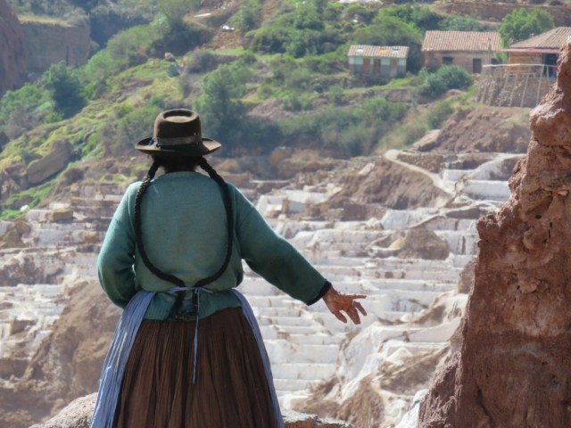
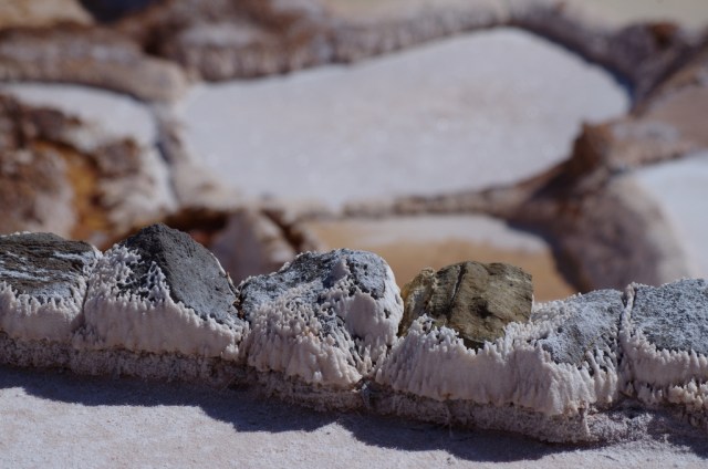
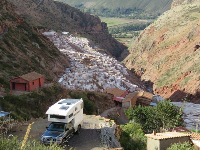
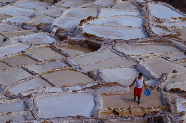
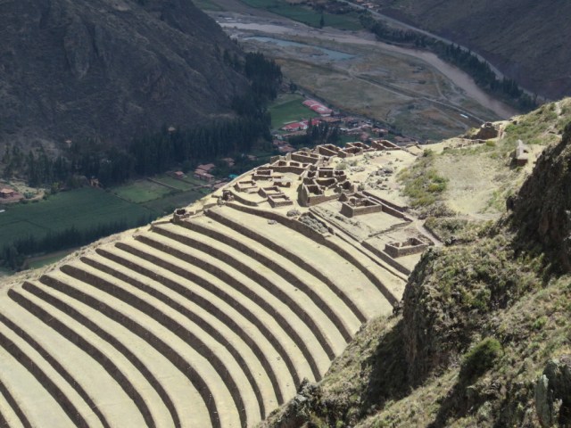
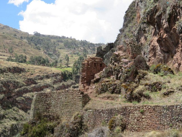
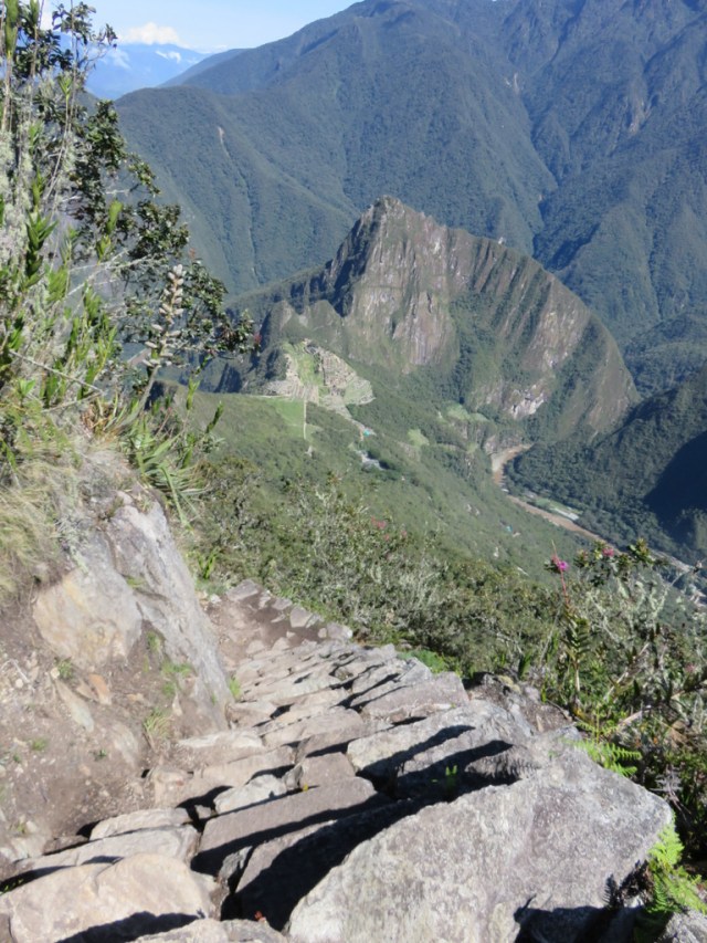
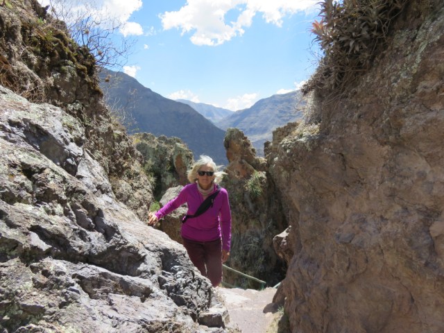
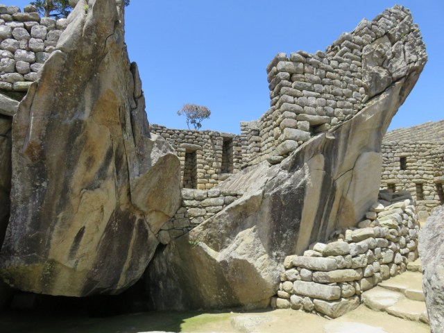
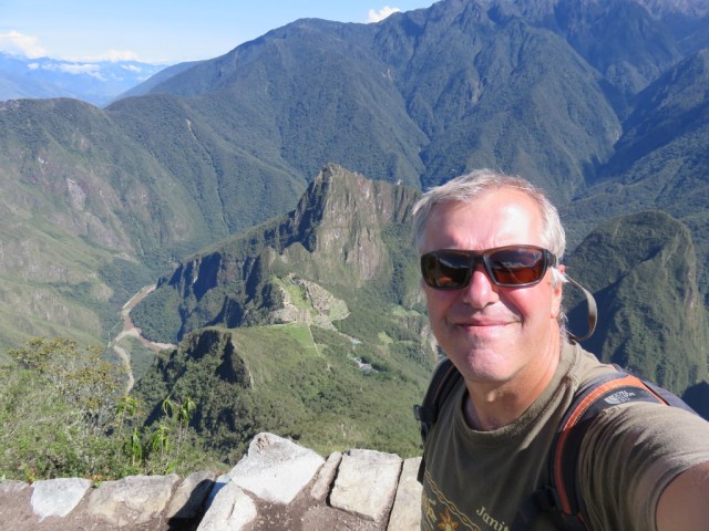
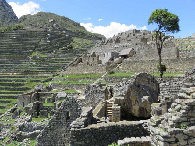
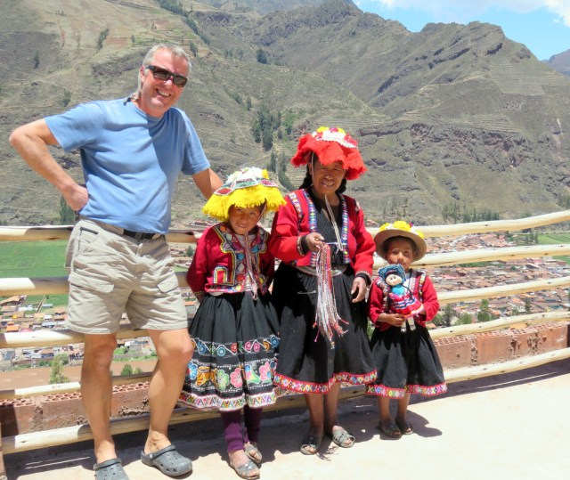
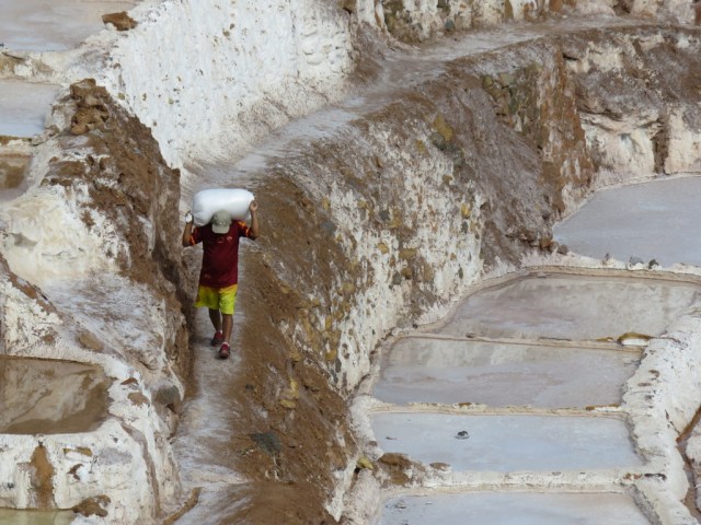
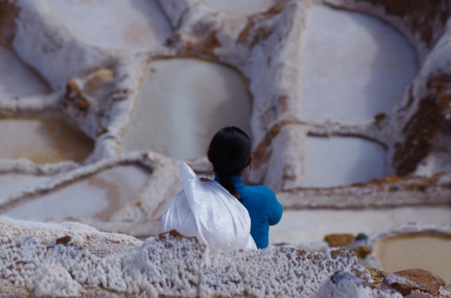
We hiked around the ruins and amazing terraces of Pisac, spent the night above the salt ponds of Salinas and finally left our camper at a litte hostal in the last town Ollantaytambo. From there we took the train to Aguas Calientes, spent the night and got an early start with the 6 am bus up to the ruins. People try to get there earlier for the sun rise, so when we left the bus there were already a few hundred people ahead of us. Ok, we hike up and around for a while and when it got fuller, we split up. Günter climbed Cerro Machu Picchu, all steps – it was not easy, but the expansive views from the top made it all worth while. While Wayna Picchu is more popular and one has to sign up ahead of time to climb it, it gets quite crowded and Günter was glad he chose the other mountain where he was the first one up there. I in the meantime I headed for Intipunku, the Sun Gate, part of the Inca Trail. There are a lot of steps at Machu Picchu and hiking poles are not allowed, I had to go all the way back down to the bus station at one point to got to the bathroom and then back up to where I had left off. Plenty of exercise and people to negotiate around.

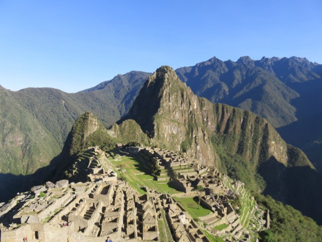
The ruins are indeed beautiful and the location amazing, the morning was cloudless and even when a few clouds crowned the peaks around in the afternoon we could not stop marveling at the ruins and the surroundings. Most people head back to the busses around lunch time, so it was less crowded in the afternoon.

We left Aguas Calientes again that evening by train, a funny train trip with entertainment, the conductor doing some Inca dance dressed in a costume and the “train attendants” modeling alpaca sweaters and shawls for sale.

Back in Cusco we stocked up on groceries but did not go back to the camp ground since one of the German ladies there had been very rude to Günter. There were several German campers in the camp ground, retired couples mostly. When we first arrived there from the coast this woman had asked us for help with different issues (truck, laptop) because her husband was gone and Günter did his best to fix her problems on several occasions. The day we left she got really mad at him for warming up the engine of our truck for just a short time. She accused him of being “totally Americanized”, I guess that is supposed to be an insult, she told us we probably do not have children and grand children to worry about so we just pollute the environment. (Never mind that she and her husband drive a diesel truck camper around.)Oh well, we were so shocked about this ungrateful and insulting behaviour that we just turned around and left her standing there. The shame is on her.

We wanted to go camp by ourselves somewhere, where it is peaceful and quiet. It was time to move on and go south, to Bolivia.

IMG_4088

Cusco

IMG_4098

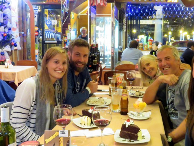
Dinner with Anna und Benny (und Birgit) in Cusco.
IMG_4105

Sacsaywaman

IMG_4102

IMG_4112

Inca stone work, I could not get my finger between the rocks.

                                                                                SALINAS
IMG_4226

IMG_4240

IMG_4255

IMGP5840

IMG_4220

Another great spot to spend the night.
IMGP5825 IMGP5819

                                                                            PISAC

IMG_4210  IMG_4207

                                                                MACHU PICCHU

IMG_4341

Günters view from the top

IMG_4208

IMGP5859

IMG_4309

Sissis view from the Inca trail

IMG_4360

El Condor


IMG_4336

IMG_4359

IMG_4296

Camelidae


← Back

Thank you for your response. ✨


Posted in Peru | 4 Comments

Paracas , on the Peruvian coast.

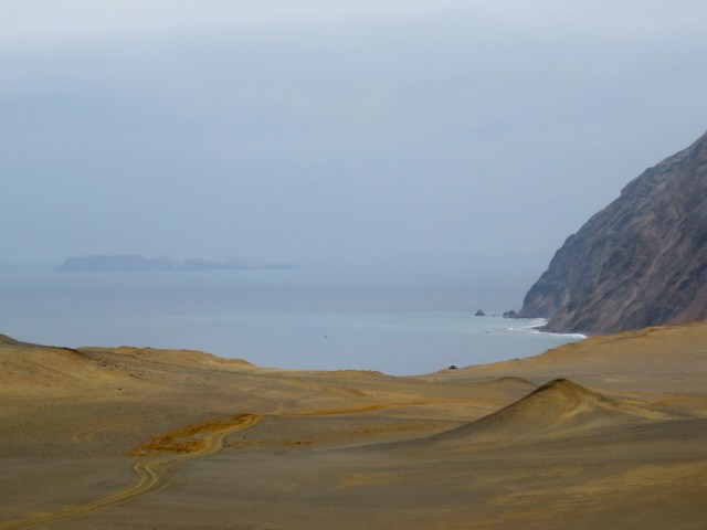
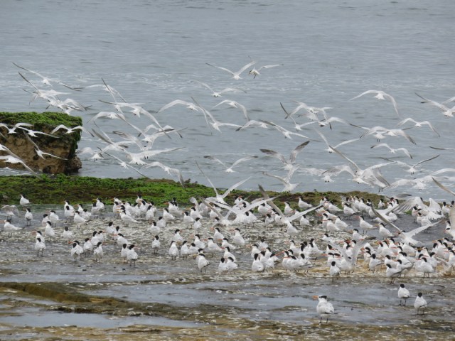
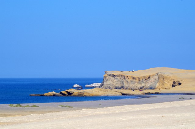
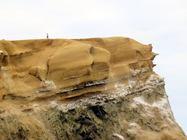
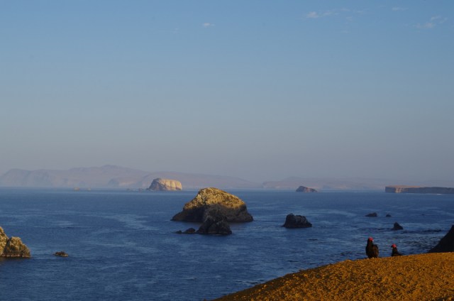
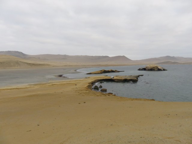
This reserve is on the wind-swept Peruvian coast, it is beautiful in its own way. Devoid of much vegetation it consists of sandy hills and mountains, high cliffs, coves, bays and beautiful rocky islands. There are many seabirds breeding in these cliffs and sea lions hang out on the rocks offshore, we heard them and to us it is a very familiar sound.

Some overlanders avoid this park because it has had a bad reputation, robberies of campers were reported. We decided to go for it in spite of the stories and hoped that those robberies had been isolated incidents.

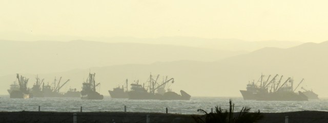
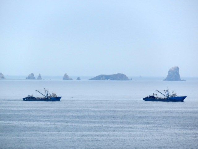
Driving to Paracas you pass through the town of Pisco, made famous by the drink. Pisco (destilled wine) it is mixed with lime or lemon juice,  egg-white and sweetened with cane syrup to make a ” Pisco Sour”. Lots of fishing boats lined the beach and even more were on anchor offshore. At closer look we saw, that there were hundreds of large fishing boats ( purse seiners) out there, waiting to unload. At night, they fish for anchovies and other small fish along the coast and sell it to the huge fish meal-oil processing plants that line the road to Paracas. It smells so bad it takes your breath away, we could still smell it when we were already at the park entrance.
The salmon farms in Chile and other countries, as well as other aquaculture factories are in need of this product.

But there are different fishermen along this coast too. Small one man operations, they are the dive fishermen. We talked to them and were amazed at how hard they have to work for so little,

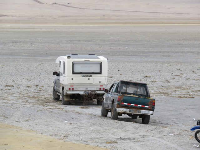
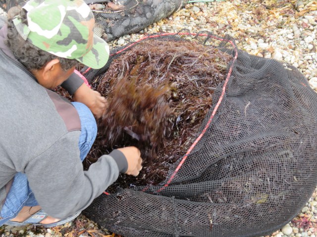
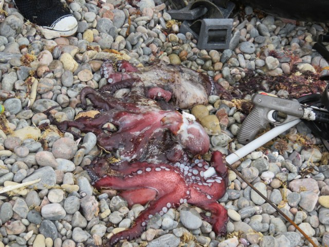
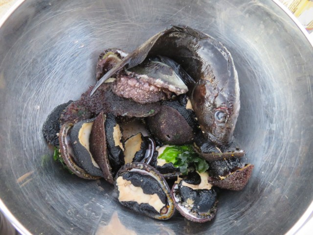
with leaky neoprene outfits in the cold water. They pry limpets from the rocks, spear fish for octopus, collect sea cucumbers and harvest sea weed. They show up in the morning and disappear in the waves, in the afternoon they bring in their catch, clean, sort, pack it in big bags and head to town. On two different occasions we helped them get their trucks started and were rewarded with fresh seafood. The limpets made delicious ceviche, the little corvina tossed in for good measure. So we had company at our camp site, got “high fives” from them and felt secure.

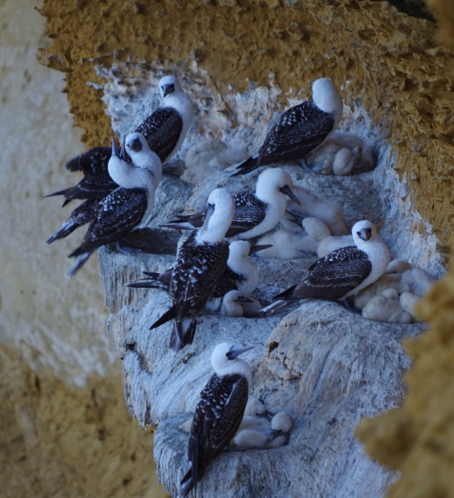
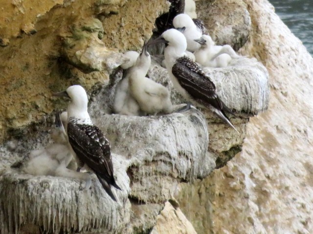
Hiking the cliffs of the park was just amazing, the boobies had fledglings in their nests and were busy feeding their hungry offspring. You could sit on the edge of the cliff and watch for hours.

The fishermen had a trail down to the beach, it was steep and treacherous, I would not attempt it without my trekking poles. They on the other hand hike up and down this trail with heavy bags of their harvest barefoot – and never miss a step.

On the third day we decided to drive south through the park on the road that looked like a regular road on the map . After we passed some beautiful bays and many sand dunes the “road” disappeared and we just followed the tracks of the trucks the seaweed harvesters had made. Finally we were at wit’s end and decided to back track. We hate to backtrack and Günter kept saying “could have..should have” but really, there were 35 km of sand dunes without a road ahead of us and this was the prudent thing to do.

It was time to head up to Cusco and go to Machu Picchu, my cousins daughter  and friends were on their way to Peru, backpacking and trekking,  and we wanted to meet up in Cuzco.

IMG_3831

Seiners waiting to unload their catch.

IMG_3859

IMG_3835

IMG_3878

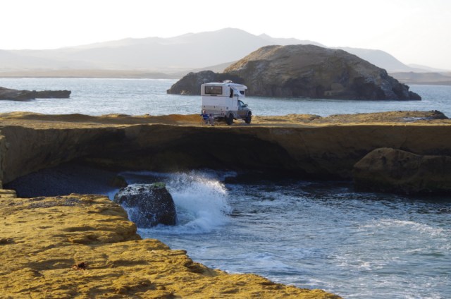
can you see our home down there?

IMG_3896 IMG_3895

IMGP5799

IMGP5784

IMGP5762

Peruvian boobies


IMG_3973

watching the boobies below

IMG_3951

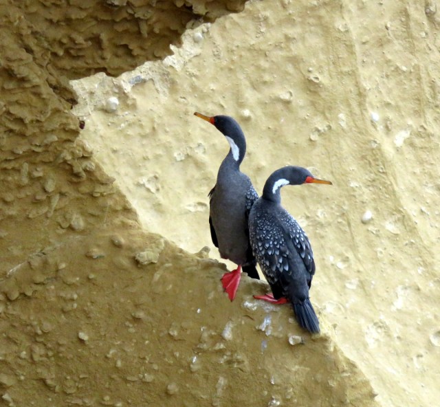
Cormorants

IMG_3955

IMGP5770

turkey vultures standing by

IMG_3944

IMGP5776

IMG_3933

towing the fishermens truck to get it started

IMG_3926

seaweed harvest

IMG_3925

sea cucumbers for Asia

IMG_3924

pulpo

IMG_3870

limpets for ceviche, our reward for helping out

IMGP5793

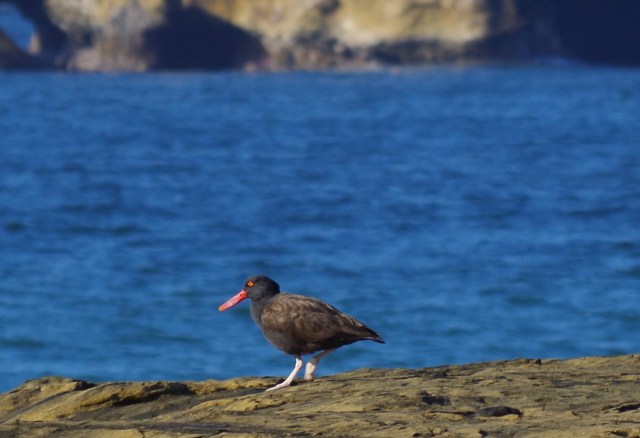
oyster catcher

← Back

Thank you for your response. ✨


Posted in Peru | 1 Comment

Driving to Chavin

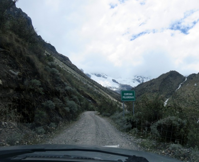
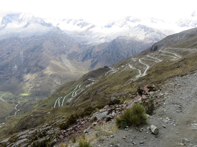
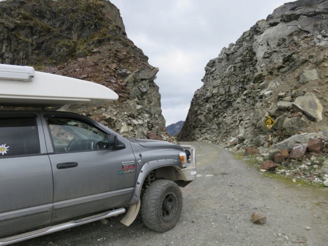
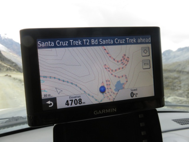
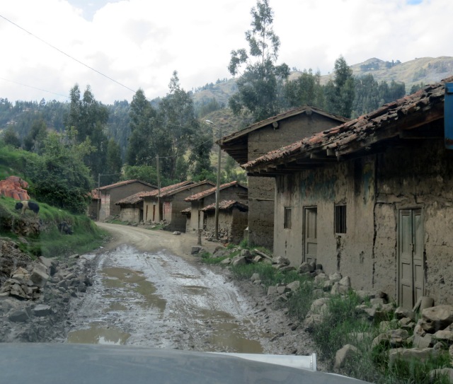
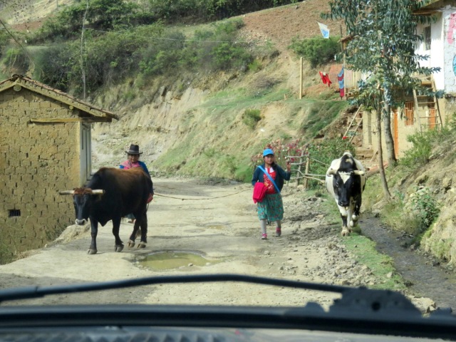
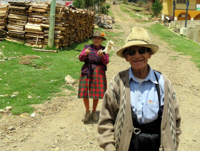
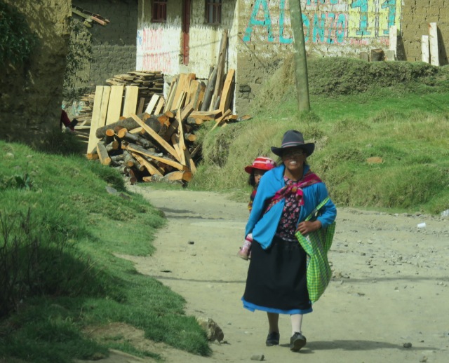
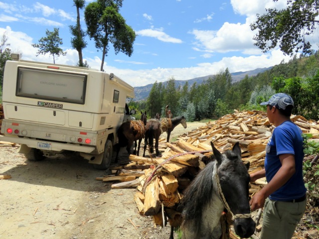
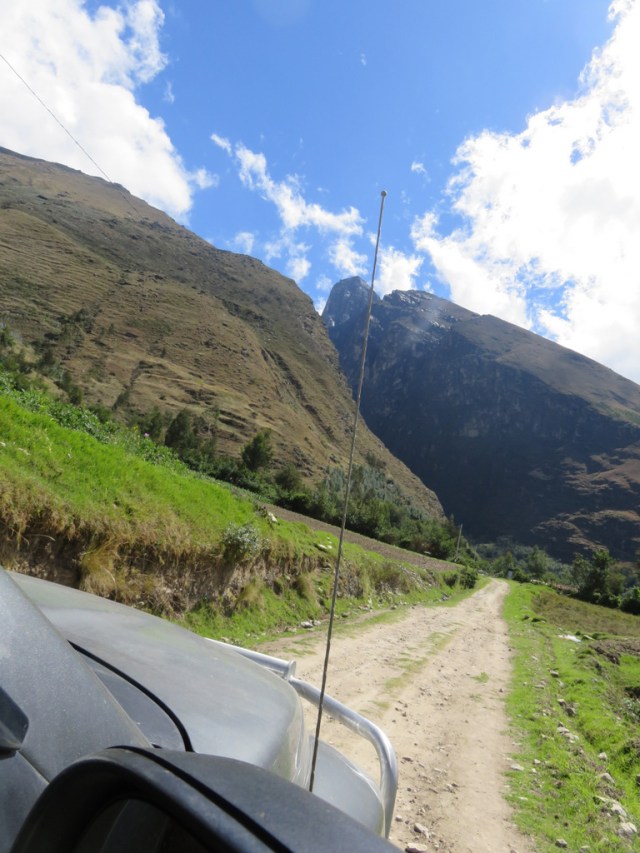
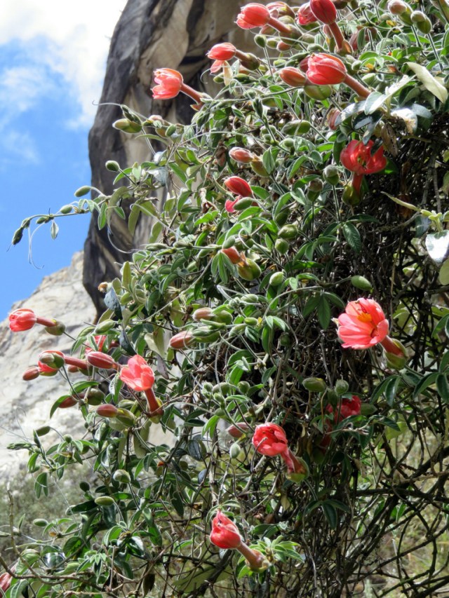
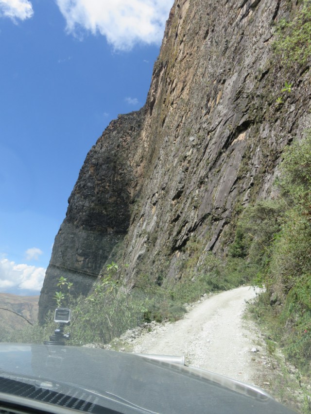
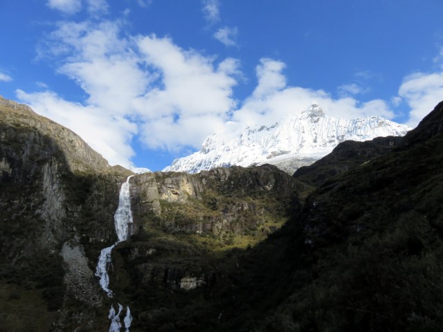
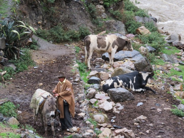
Let the pictures give you an idea of the road through the eastern Cordillera Blanca. It took us two days.

IMG_3619

IMG_3634

Portachuelo Pass

IMG_3636

Top of the pass

IMG_3639

IMG_3640

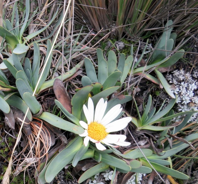
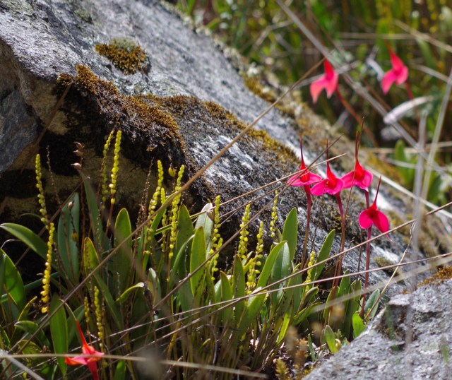
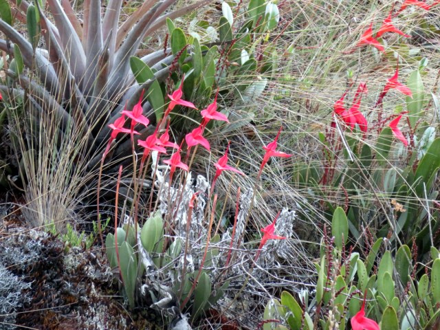
In high altitudes flowers seem so make do without a stem.

IMG_3652

IMG_3649

IMG_3665

IMG_3651

IMG_3628

IMG_3654

IMG_3666

IMG_3734

IMG_3645

IMG_3673

IMG_3653

The lillies smelled wonderful and she liked them too.


IMG_3663

Orange wool !

IMG_3661

IMG_3741


Posted in Peru | 6 Comments

Cordillera Blanca

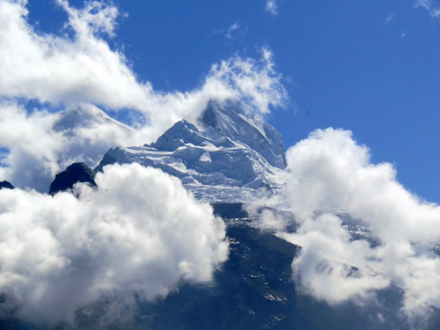
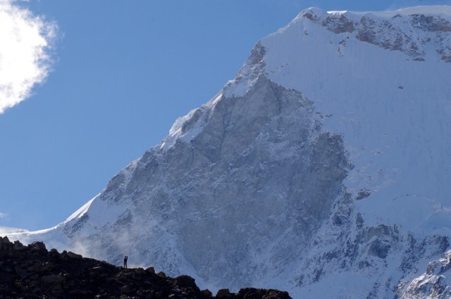
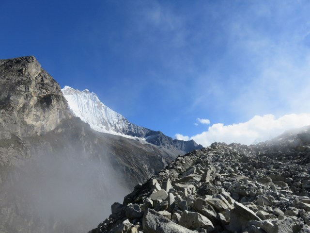
Some of the highest mountains in South America are part of the Cordillera Blanca most are more than 6000 m high and loom majestically over steep green valleys that are dotted with little settlements inhabited by the descendants of pre Columbian people and the Incas.

The mountains are draw for climbers, trekkers and hikers all over the world.

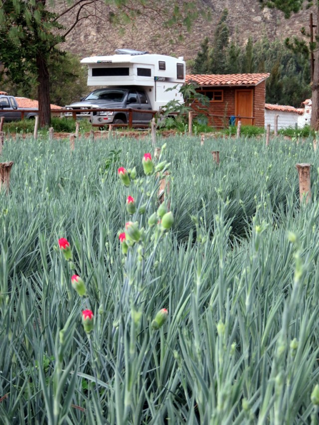
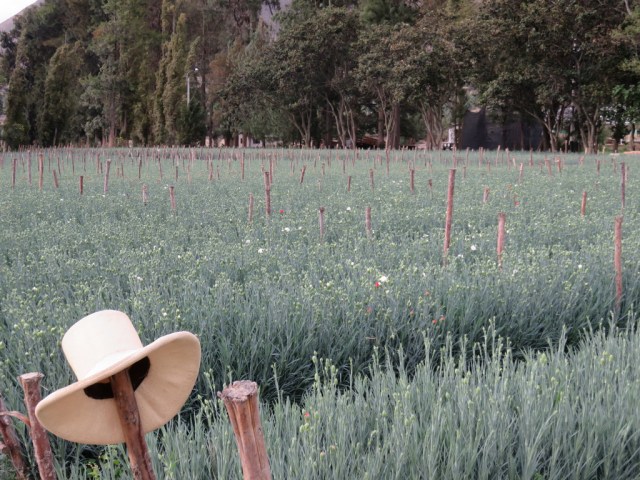
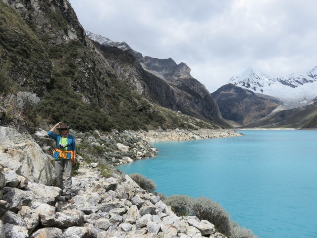
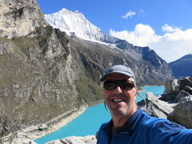
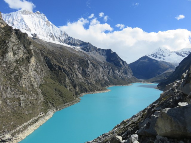
We left the coast and drove up to Caraz by way of the Canon the Pato, a one way paved road with lots of little tunnels. From Caraz, quiet little farming town that specializes in growing berries and carnations, a small dirt road winds its way up to a beautiful lake surrounded by all those famous mountains. Laguna Paron (4200 m ) is as picturesque as it can get and we decided to spend the night by the lake. The high altitude does not bother our sleep anymore and waking up to the aquamarine lake surrounded by snow-covered peaks is an unforgettable experience. We hiked to the end of the lake, an easy hike with great vistas.

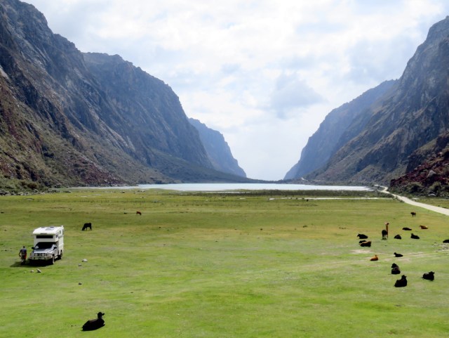
Laguna 69 is another nice hike in the area, we camped in a field with cows near the trail head. The hike is very popular, so Günter got up early the next day and hiked up by himself. I stayed near the camper and watched the water fowl and viscachas (rabbit like animal with long tail, related to the chinchilla)near laguna Llanganuco. The drive over to the eastern side of the range was beautiful and long. Small dirt roads led through little towns, up passes, down canyons, it seemed like it took us forever to get to the ruins of Chavin de Huantar. In one particular town we saw several harps on the porch, it must have been a musical town, however, we did not see or hear anybody playing and the people were quite shy.

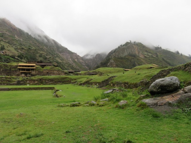
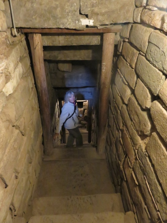
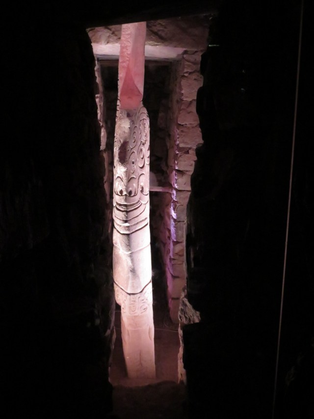
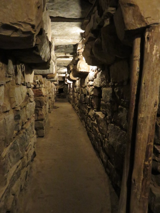
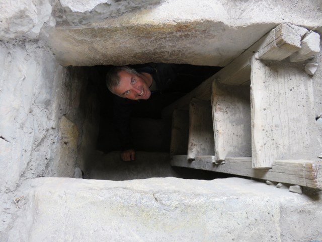
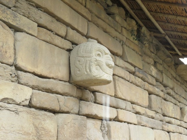
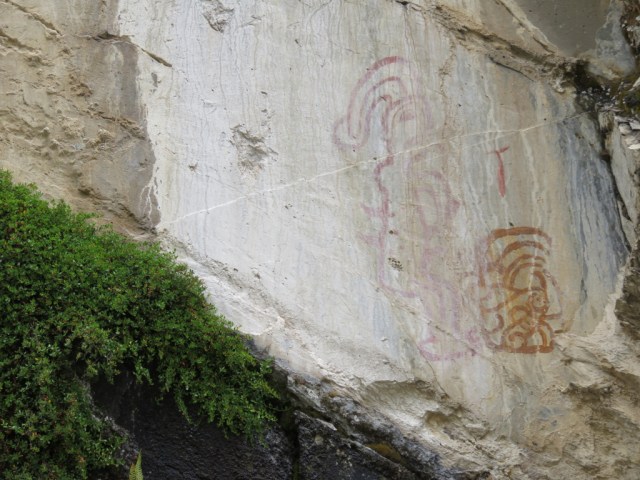
The ruins are not much to look at when you get there, but the interesting part is underground which was just fine since it had begun to rain. As we wandered through the underground rooms and hallways we finally found “Lanzon de Chavin”, the mystical obelisk 4,5 m high. It made us stop and think for a while. The ruins were a ceremonial center from a major cultural period around 1200 BC to 500 BC, long before the Incas. Chavin also has a nice museum and Querco thermal baths which we visited on a Monday, after the cleaning. We had a large tub that could hold a family and soaked in the sulphury water, it was great.

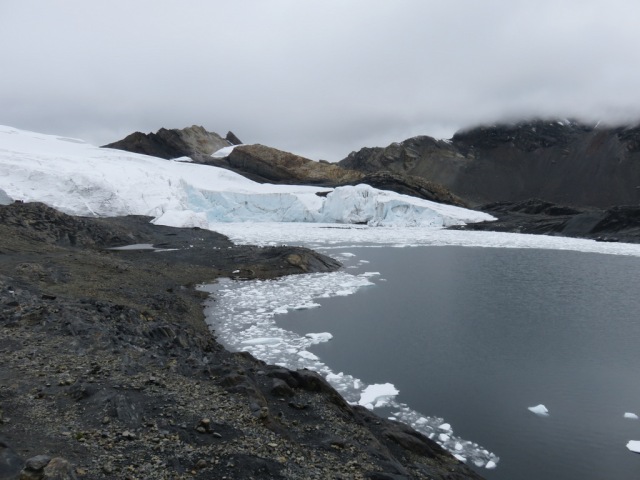
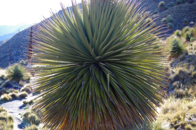
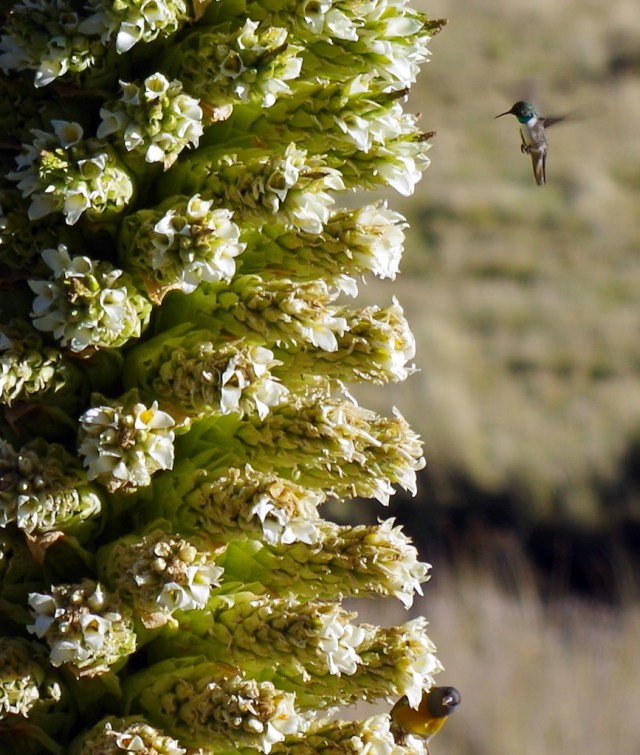
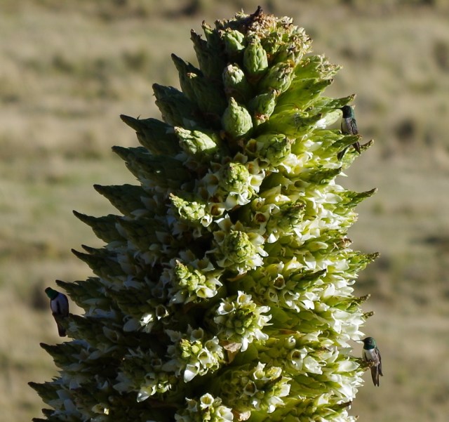
One of our tires was giving us a lot of troubles, it had been patched four times and still kept leaking air. We drove to Huaraz, the hiker/climber/trecker/mountain biker hub, to get the tire fixed yet again. We did not like that town and left as soon as we could, we read in our guide about a plant that grows only in a few places in the area. The grow in the valley that leads up to Nevado Pastoruri, the plant, Puya Raimondii is in the pineapple plant family and can grow to 7 m high, it matures late in life, can reach to proud age of 100 years and blooms only once. Its high stalk bursts with thousands of white flowers that buzz with humming birds, other birds and insects. We hiked up to the glacier and then spent the night in the midst of these majestic plants, something you can only do if you travel the way we do.

Lima was our next destination, we decided now to just get a set of new tires and were hoping that in a big city like Lima we can find the size we need.

IMG_3543

Camping in Caraz

IMG_3535

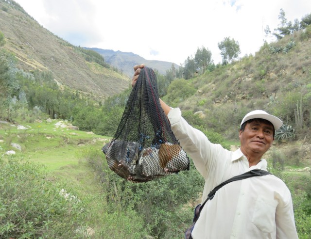
Live guinea pigs for sale

IMG_3542

Carnations in Caraz

LAGUNA PARON:

IMG_3451

Driving up to Laguna Paron

IMG_3472

IMG_3441

IMG_3462

IMG_3504

A room with a view

IMG_3480

IMG_3529 IMG_3525

IMGP5623

IMGP5629

Günter coming down

IMGP5601

IMG_3515

IMGP5642 IMGP5640

IMG_3530

LAGUNA 69:

IMG_3572

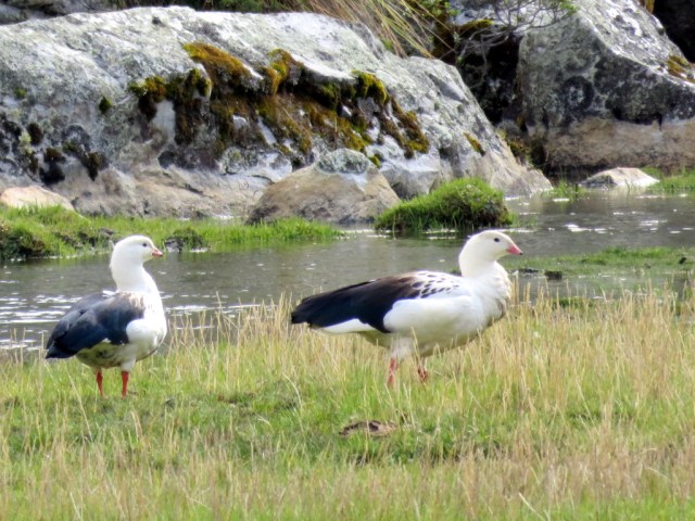
Andean geese

IMG_3549

Camping with the cows

IMG_3597 IMG_3596 IMG_3590 IMG_3586 IMG_3576

CHAVIN DE HUANTAR RUINS:

IMG_3681

We camped by the ruins, this picture was taken from the camper window.

IMG_3683 IMG_3701

IMG_3692 IMG_3708 IMG_3710 IMG_3712

IMG_3729

Puya Raimondii

IMGP5707

Puya Raimondii, the worlds largest bromeliad. It looks like this for at least 40 years. Grows only in an altitude between 3000 m and 4800m.

IMGP5709

When it decides to bloom the spike grows to a height of 9–10 m, with more than three thousand flowers and six million seeds in each plant.

IMGP5732 IMGP5729 IMGP5728 IMGP5727

← Back

Thank you for your response. ✨


Posted in Peru | Leave a comment