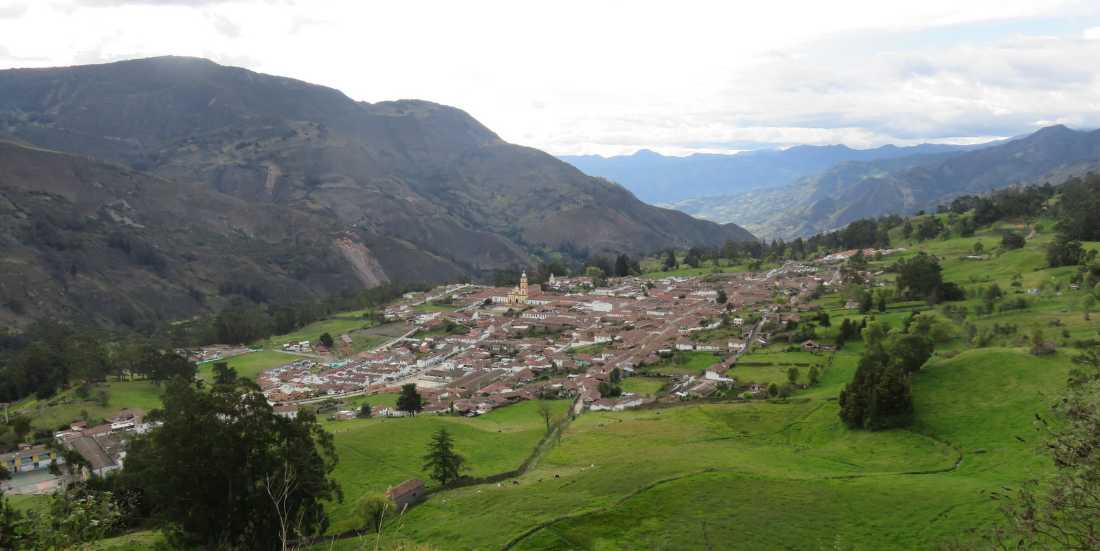
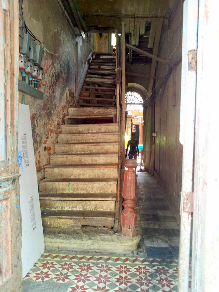
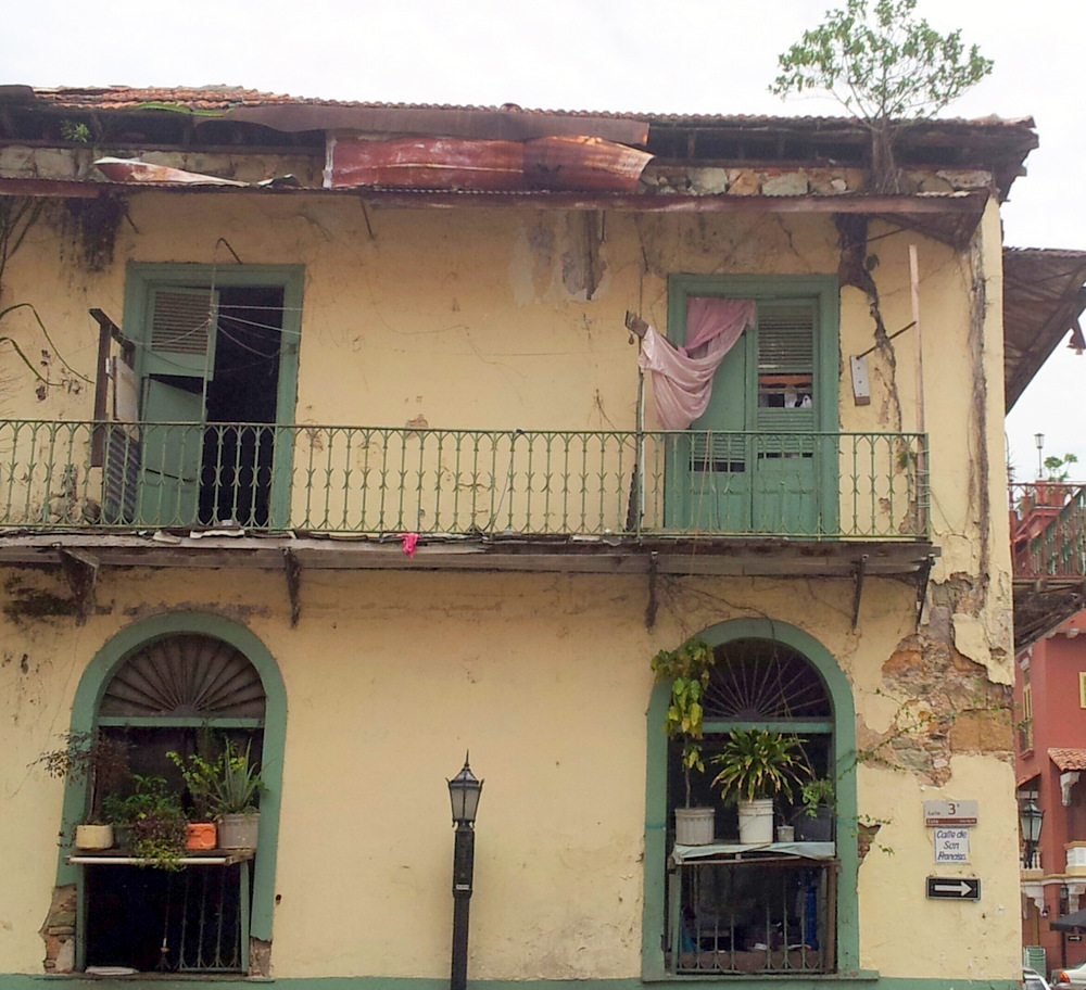
Costa Rica
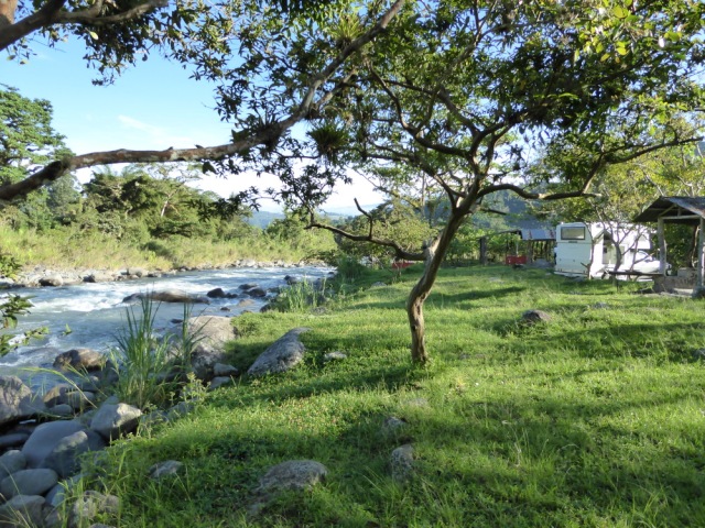
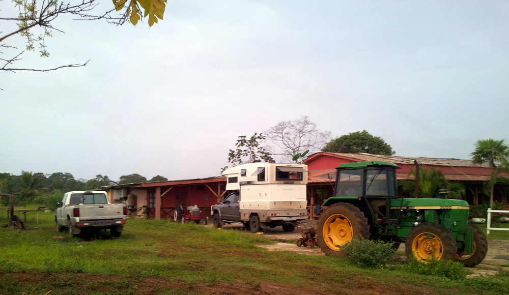
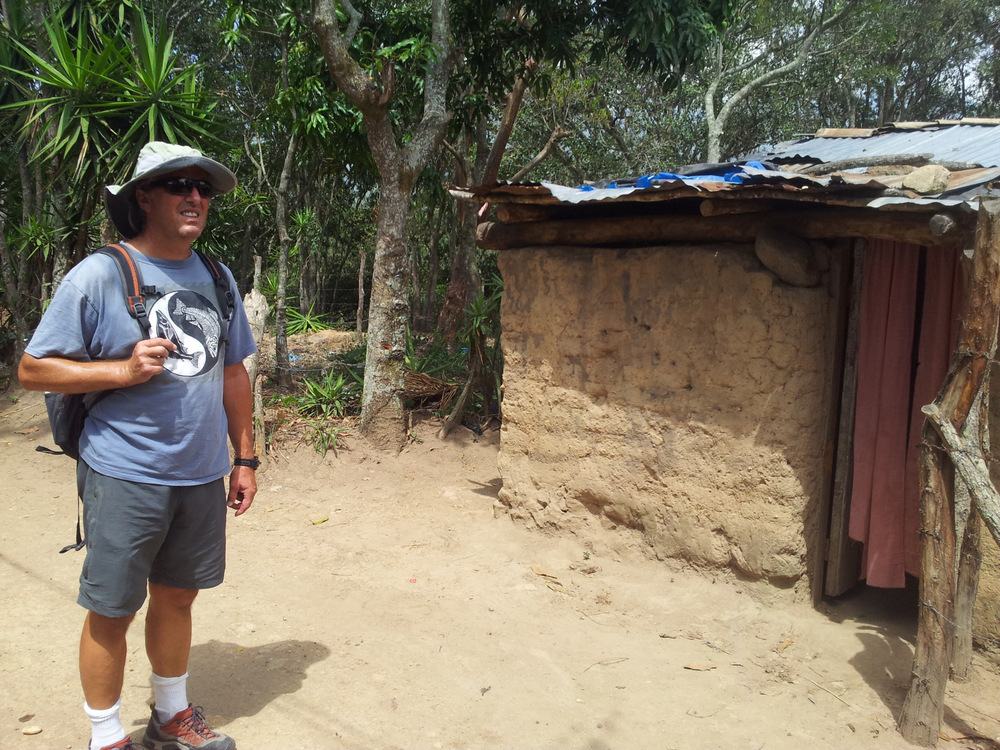
Our first stop in Costa Rica was Finca Cana Castilla in the Northwest of the country. It is a popular destination for overlanders after yet another exhausting border crossing.
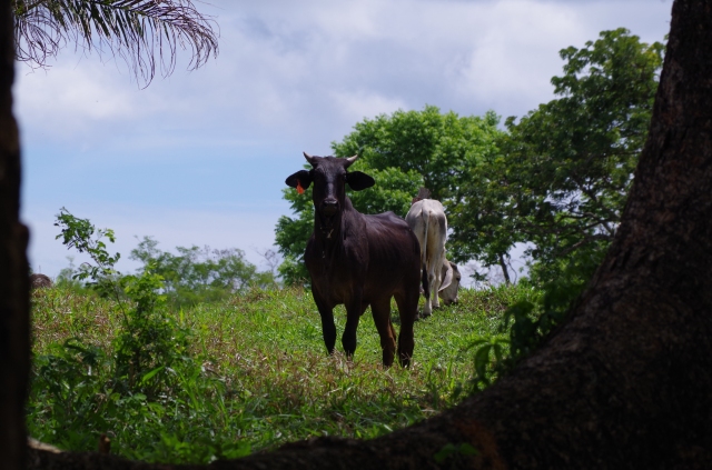
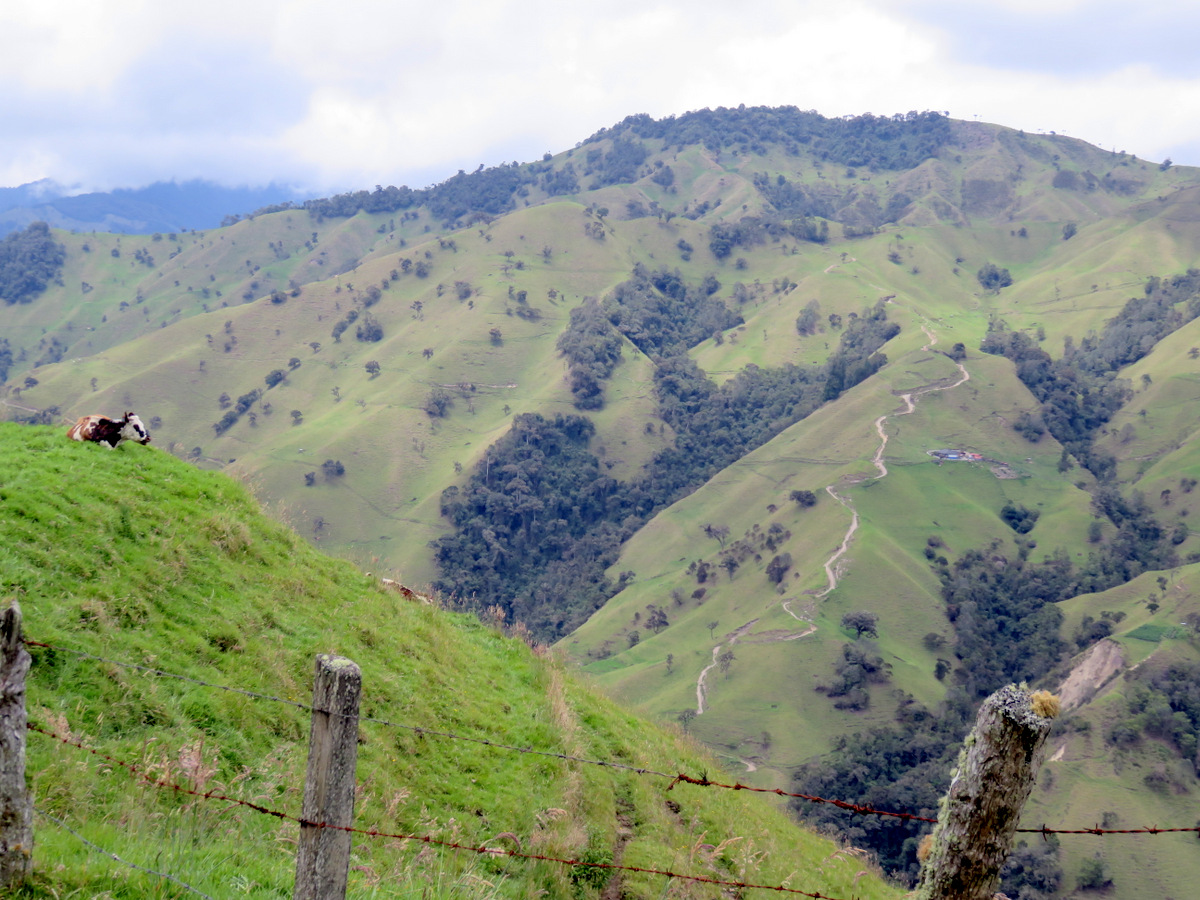
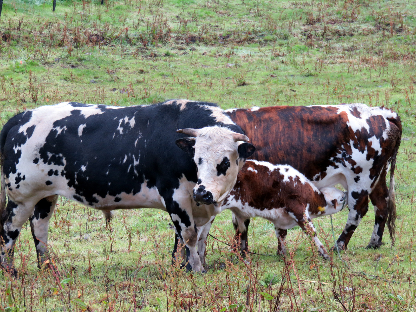
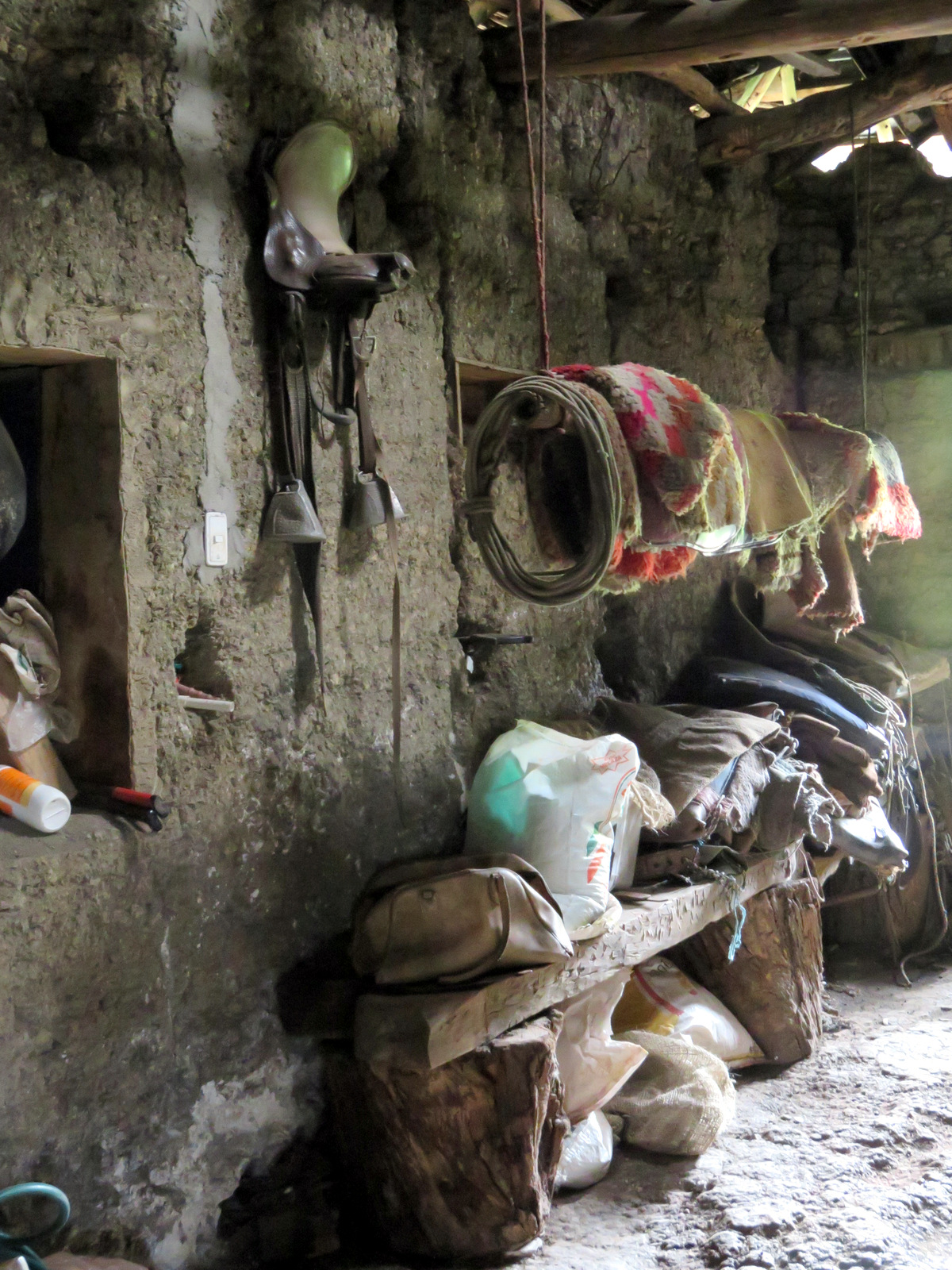
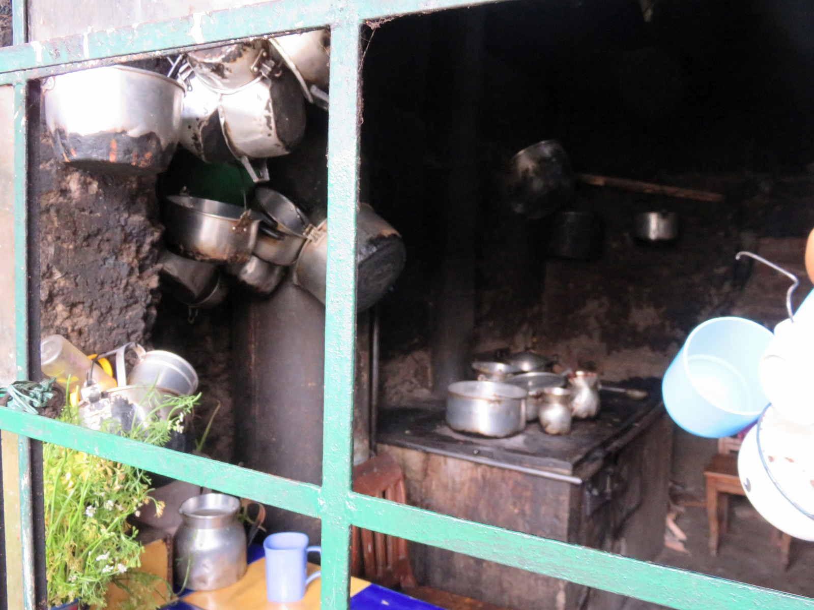
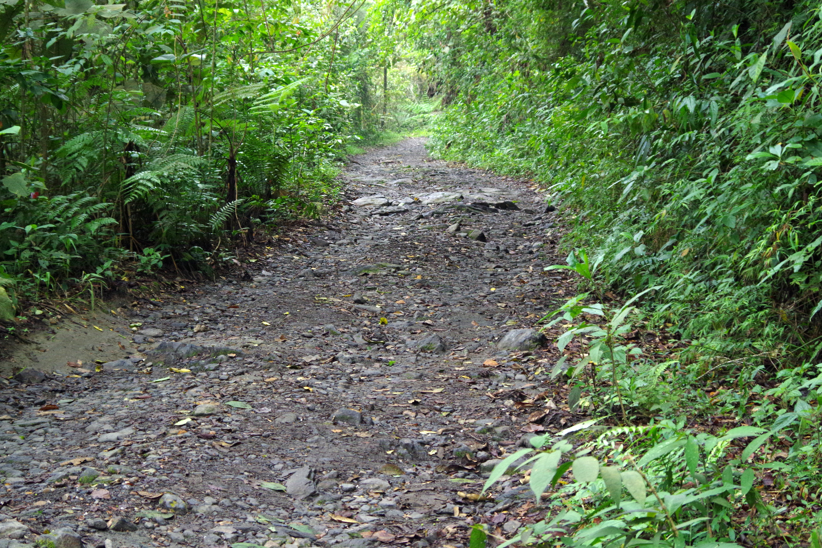
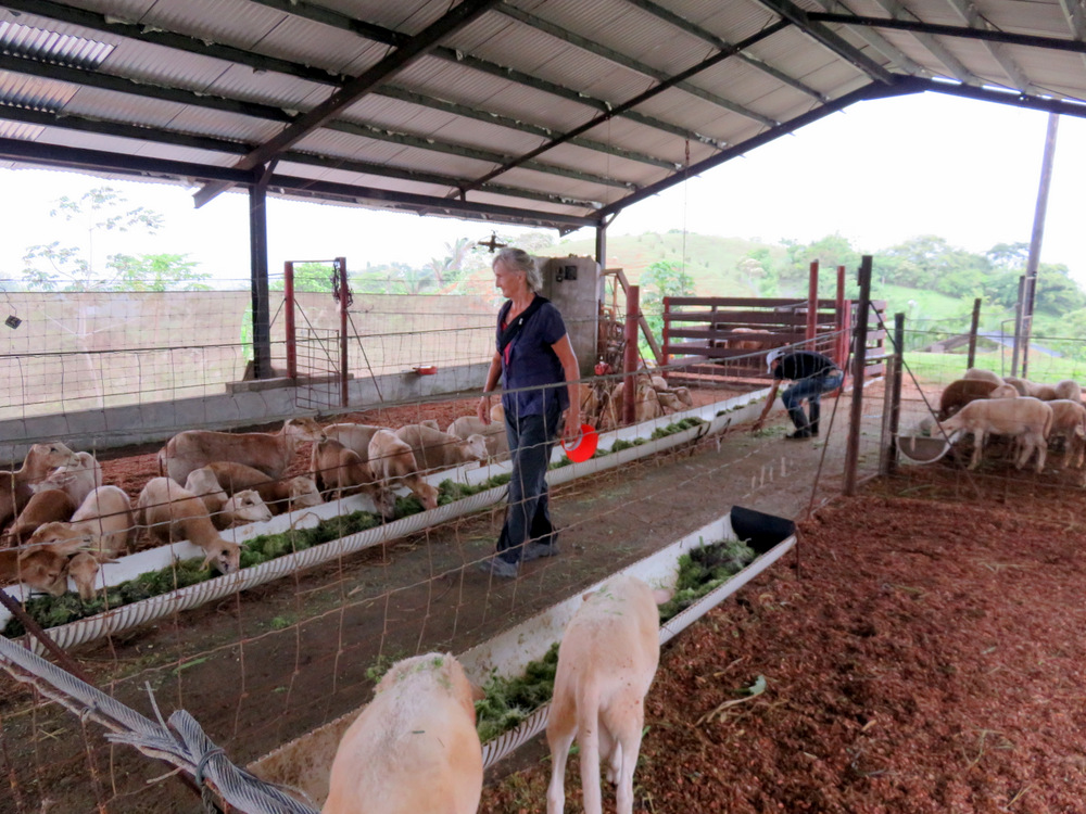
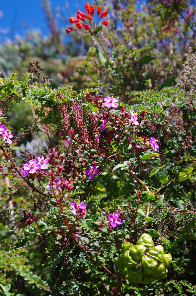
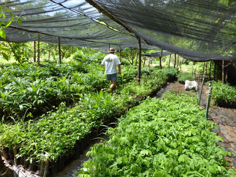
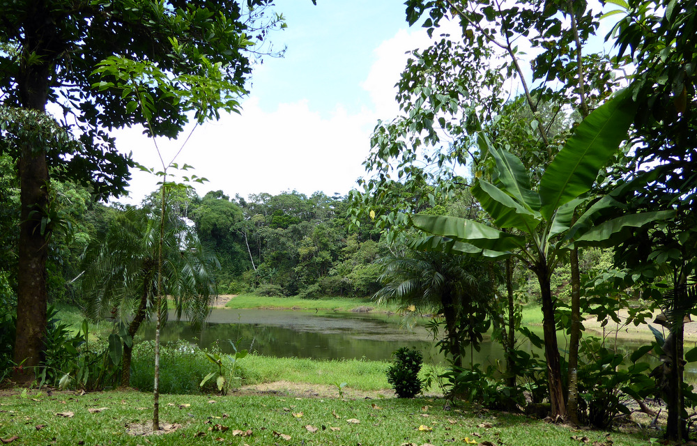
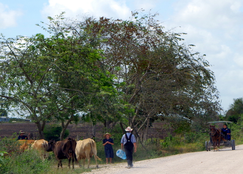
The Finca is a working farm, the owners Agi and Guido are from St Gallen Switzerland and bought it 18 years ago. A wonderful place with wonderful hosts. There were monkeys in the trees, a crocodile in the river, a baby sloth and at night lots of big toads. We took a long walk through the property, a piece of paper in hand that explained the flora, named trees, native and introduced. On top of the hill we had great views and mingled with the cows and horses.
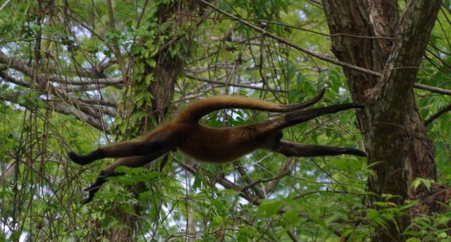
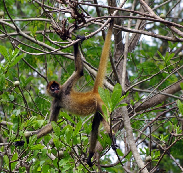
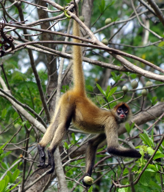
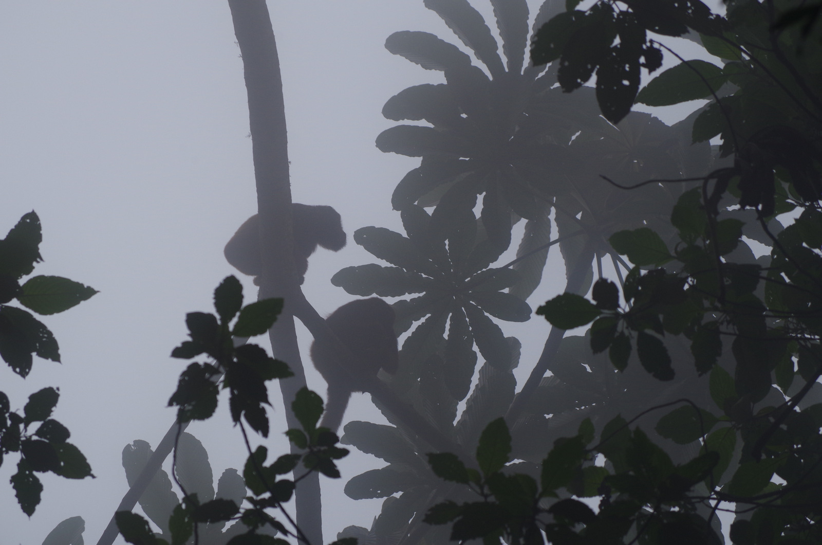
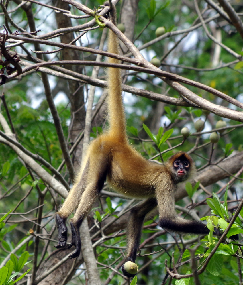
Here the spider monkeys that hung out above our camper.
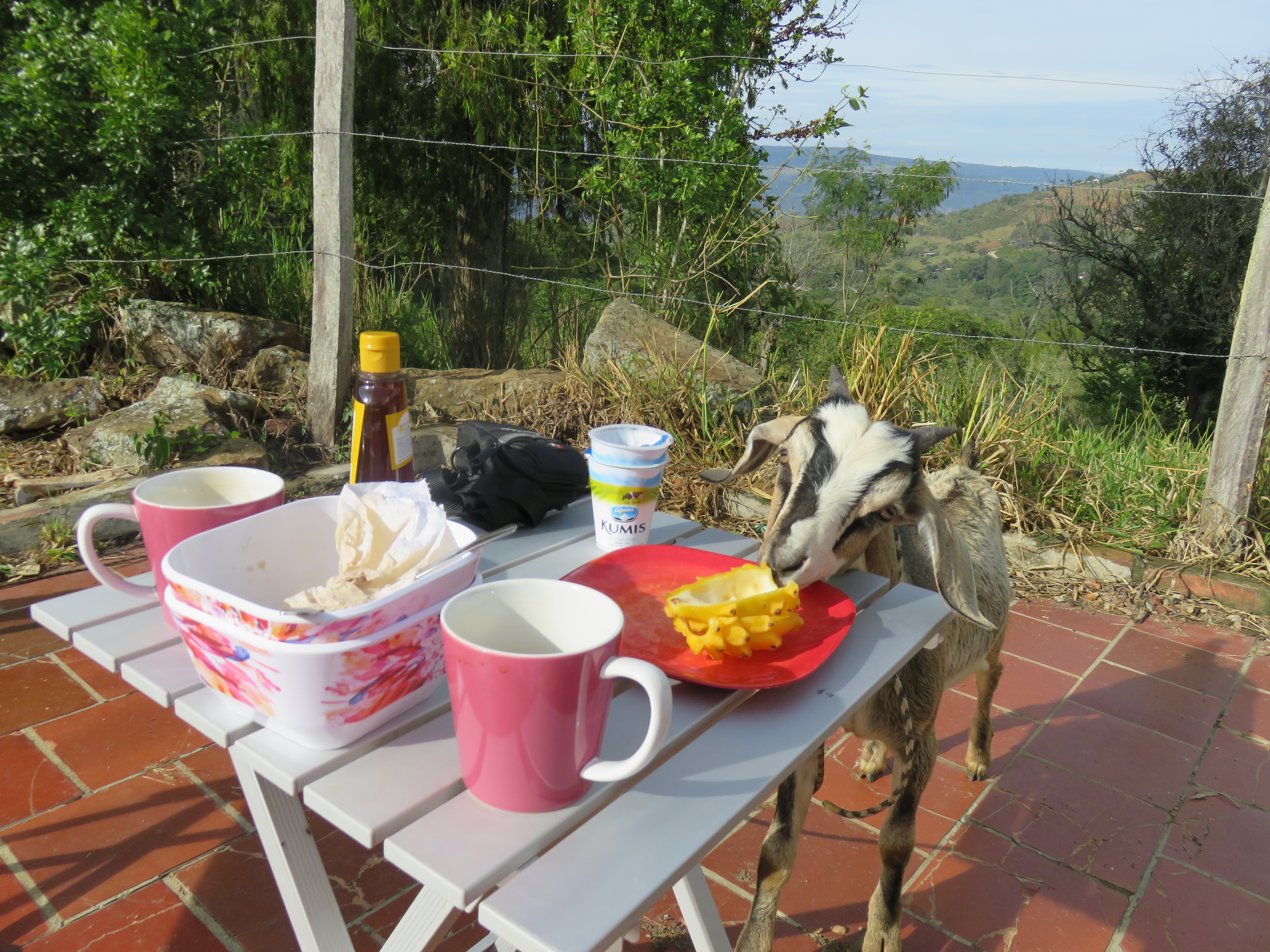
One evening Agi prepared a delicious dinner of “Gschnetzelts mit Rösti (half potato half yucca), it was delicious and tasted so much like home.
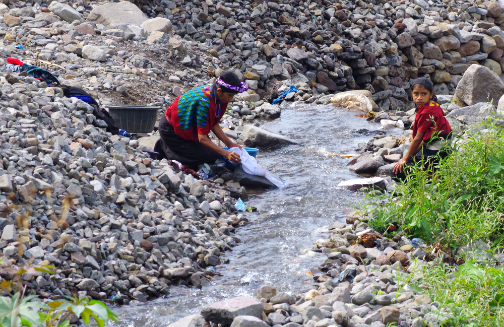
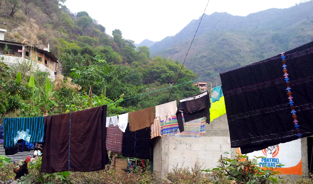
And yes, the washing machine was waiting for us and Vroni and I did a couple of loads. It was hard to get it to dry on the line, the air was hot, but laden with moisture.
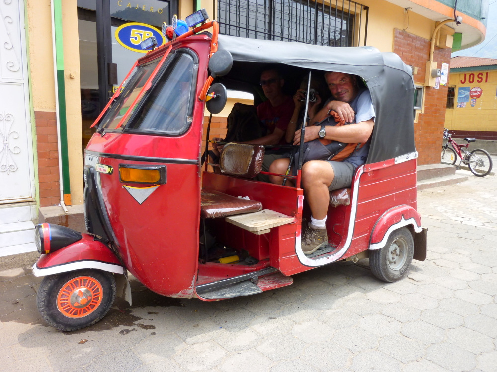
Günters sister decided to come visit us for almost three weeks, she flew into San Jose from Germany. In order to make room for her we left our folding Montague mountain bikes at the Riviera hotel near the airport.
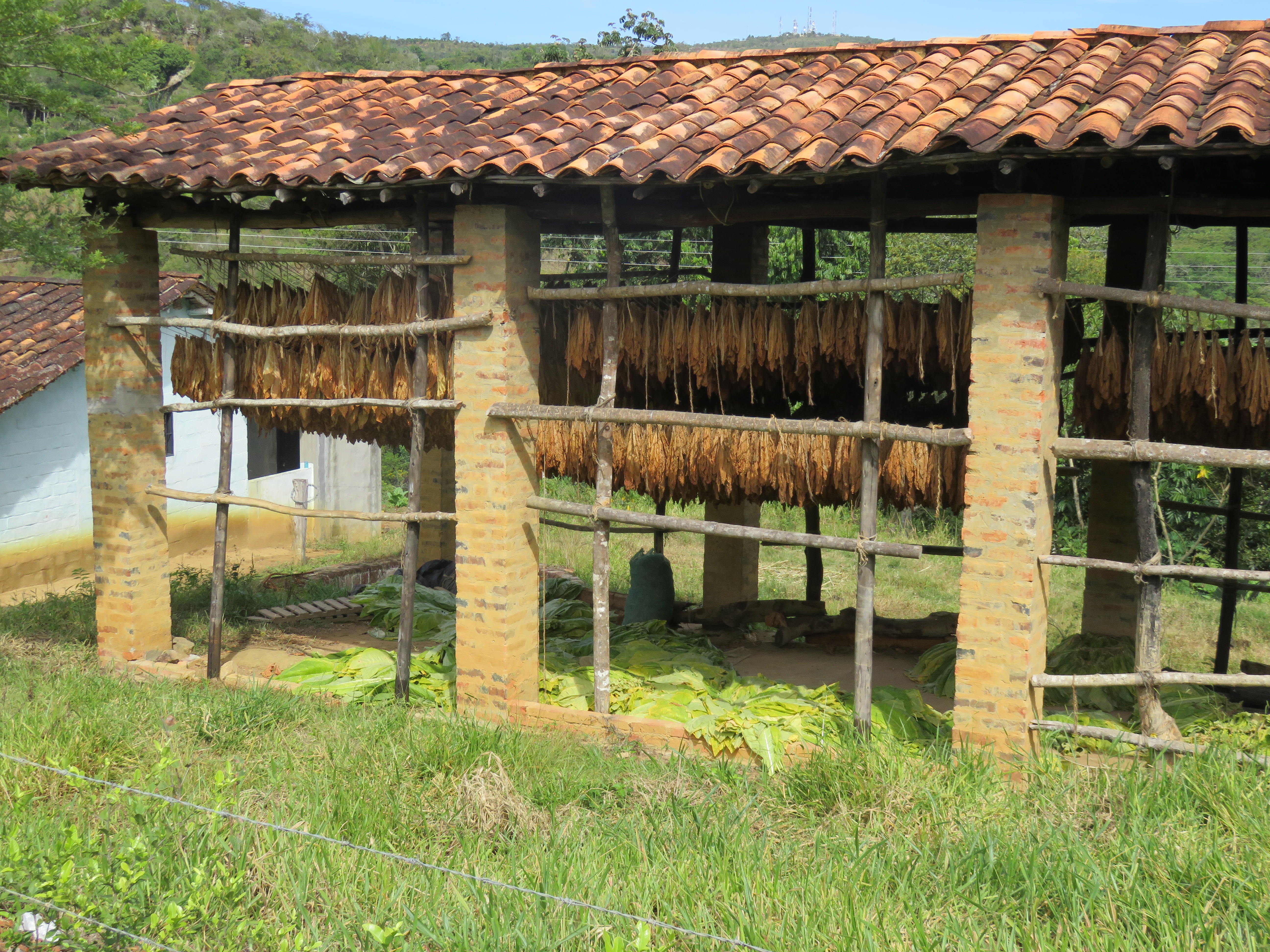
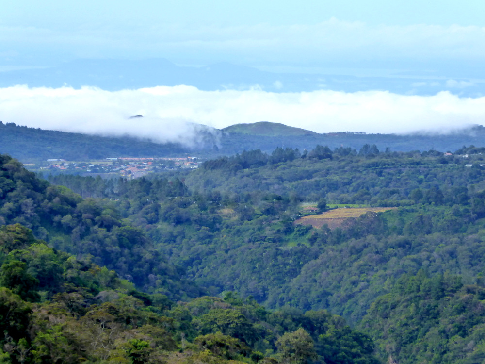
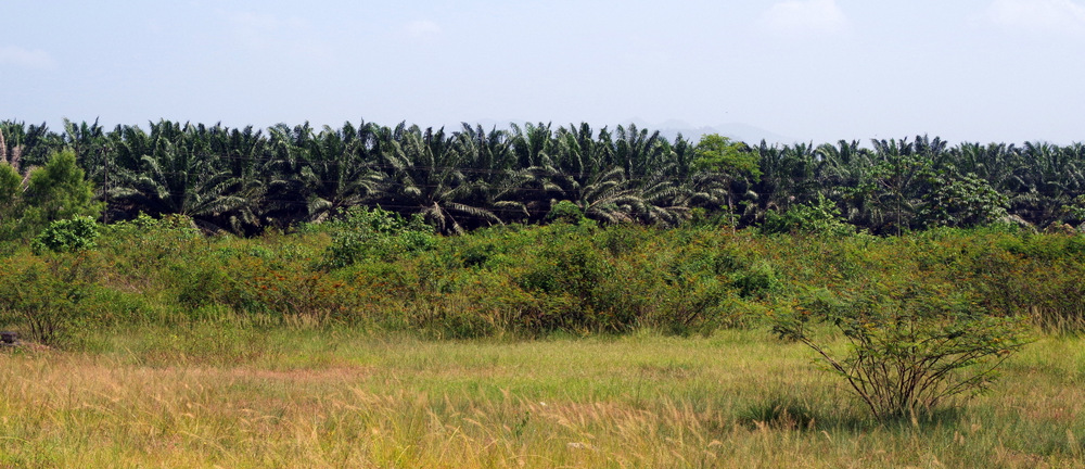
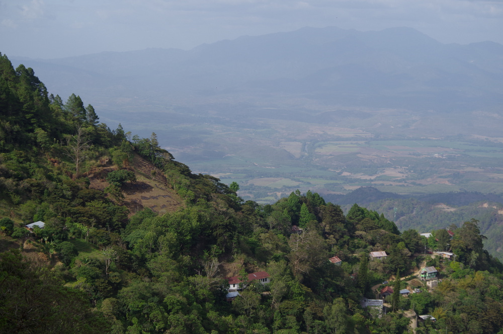
Costa Rica is a small country with lots of diversity, jungles, cloud forests, volcanos and endless beaches. Tourism is the most important industry, followed by agriculture. It used to be famous for coffee, but now the big word is eco tourism. I still haven’t figured out exactly what that is since it seems to encompass anything from “green” lodges to zip lines.
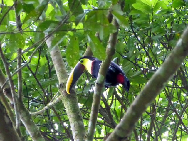
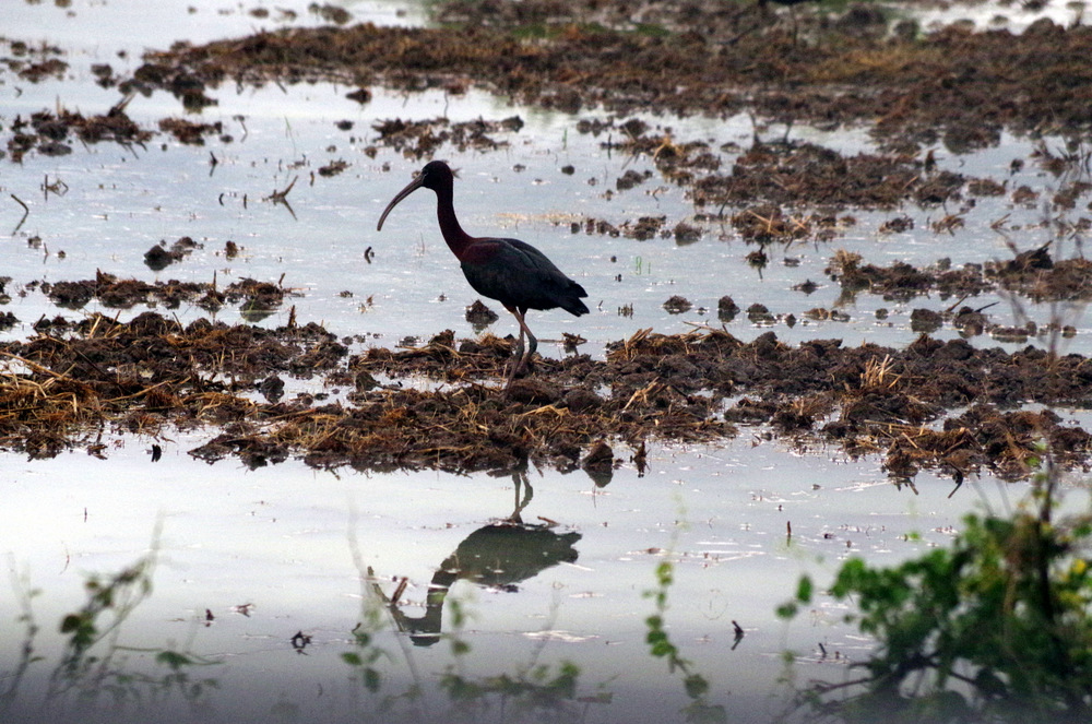
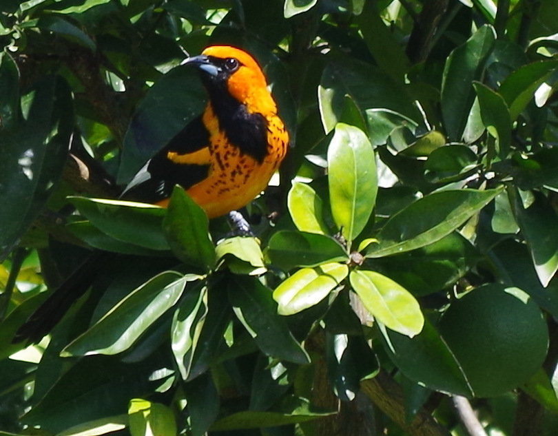
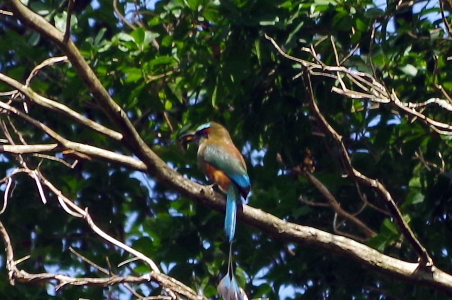
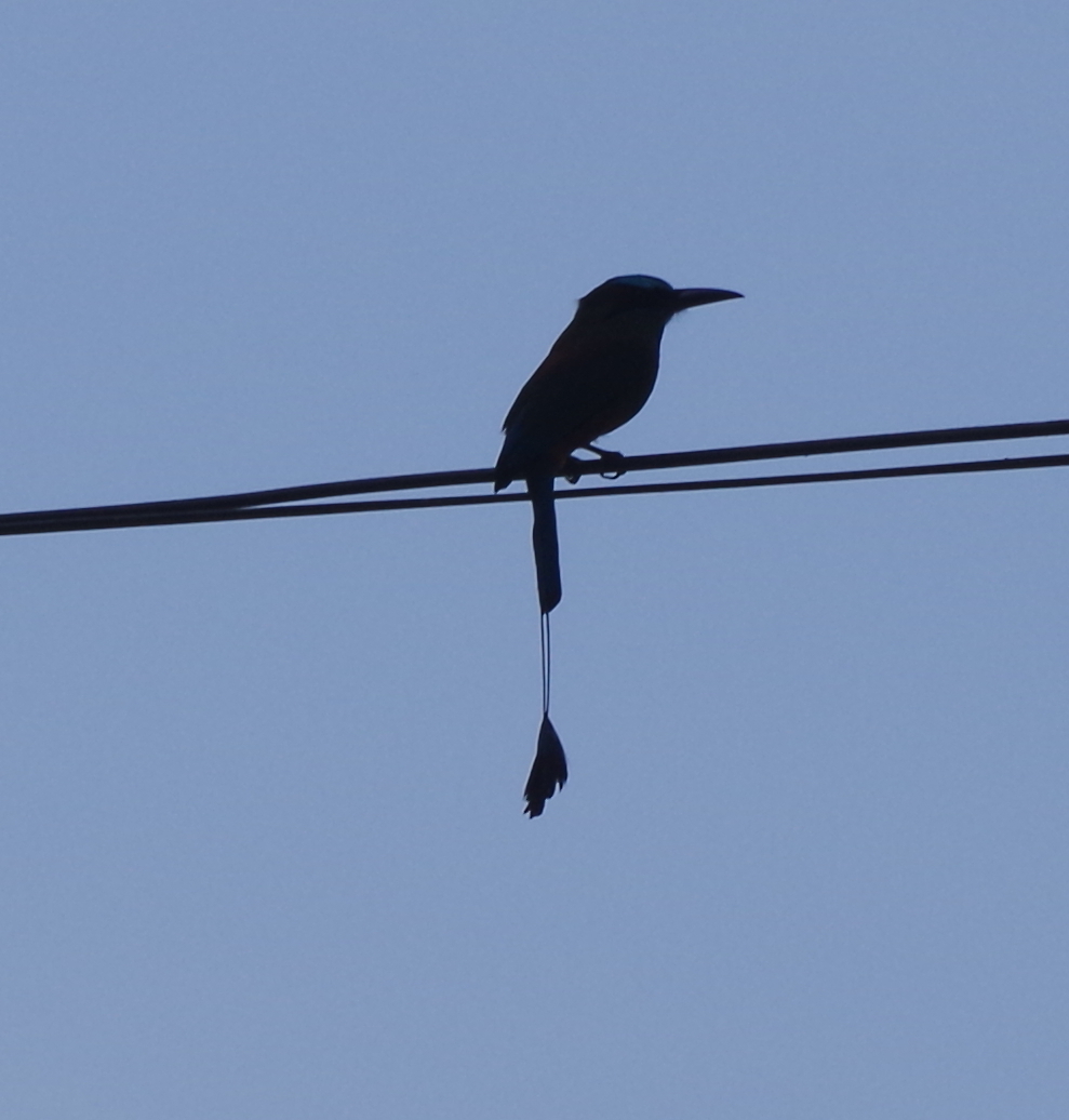
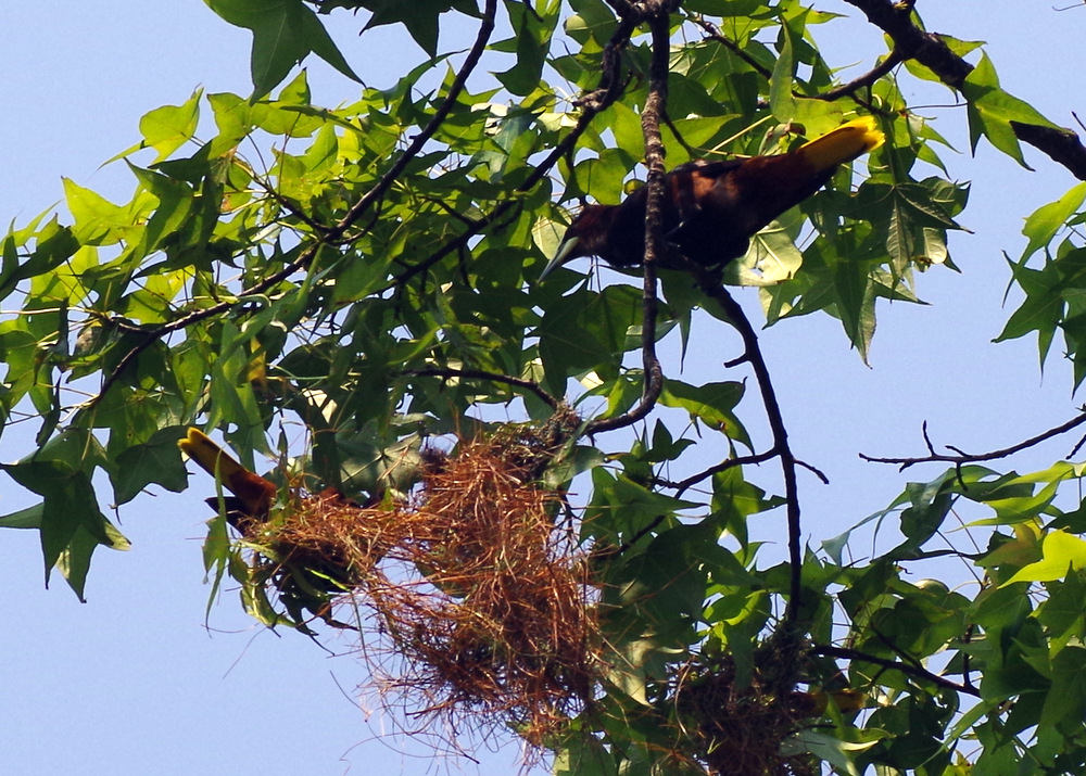
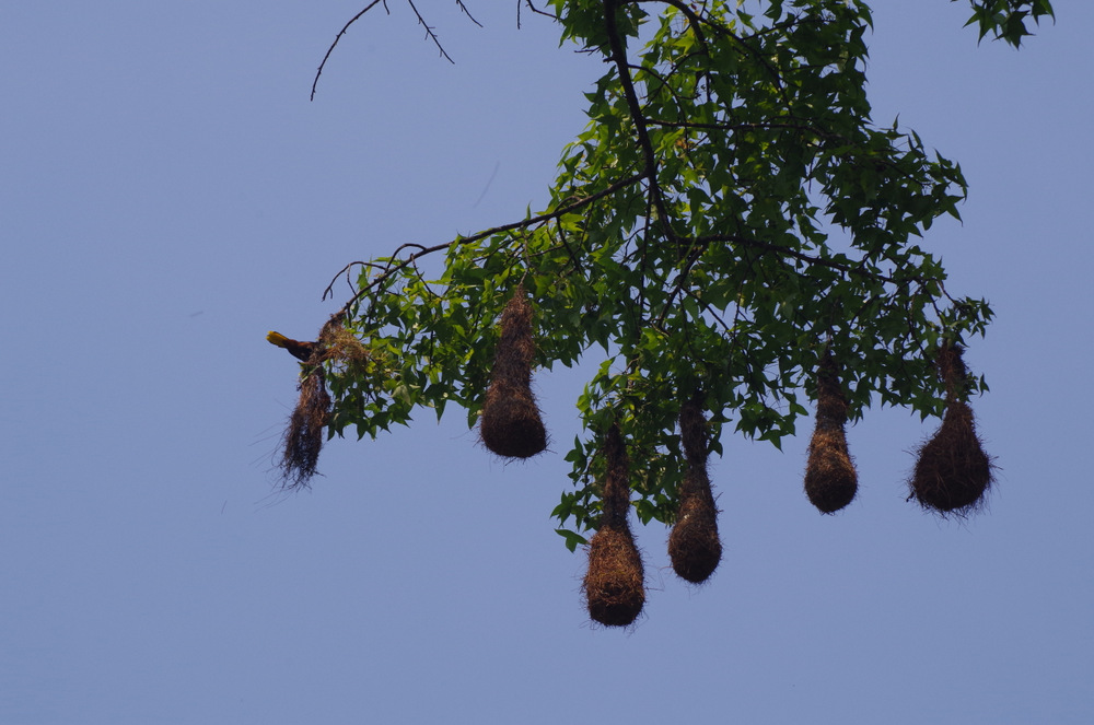
There are several National Parks and bird watchers flock here from all over the world.
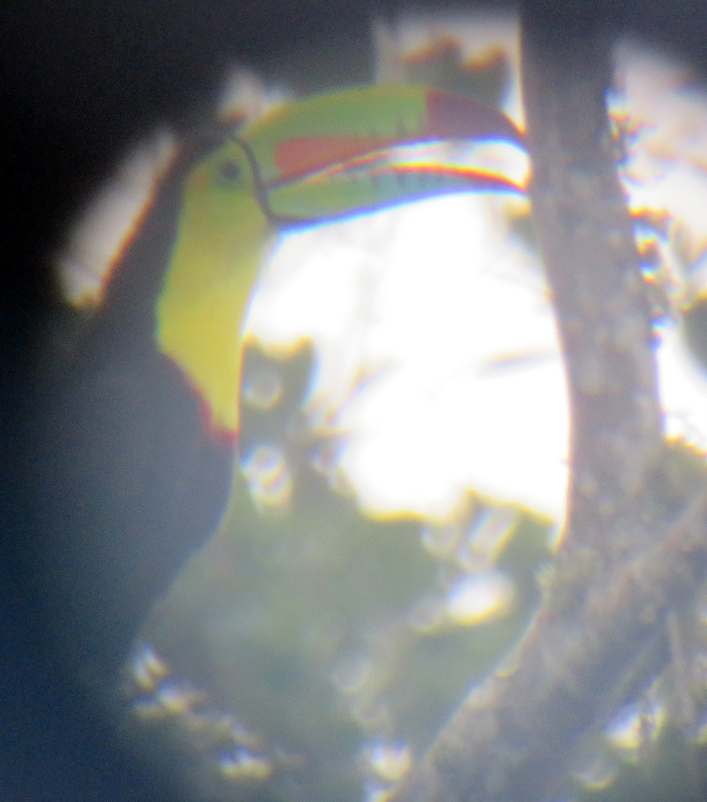
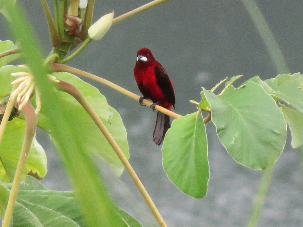
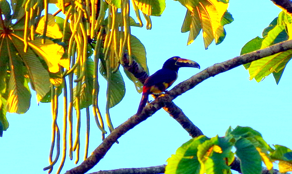
Even if you are not, it is hard not to get excited when you see toucans or a mot-mot in the wild.
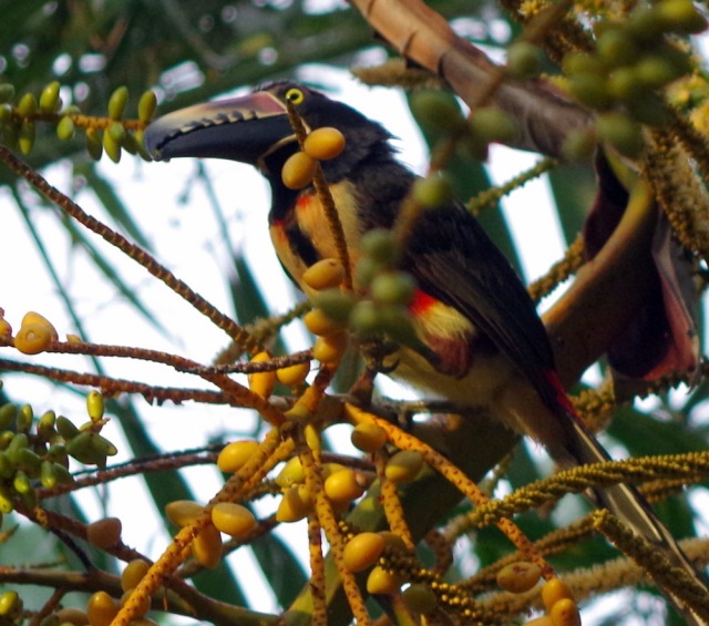
Fiery-billed Aracari (Toucan)
After we picked up Günters sister we decided to try to show her this country from the top: Volcano Irazu.
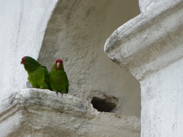
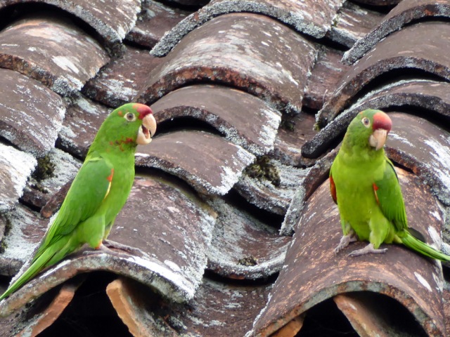
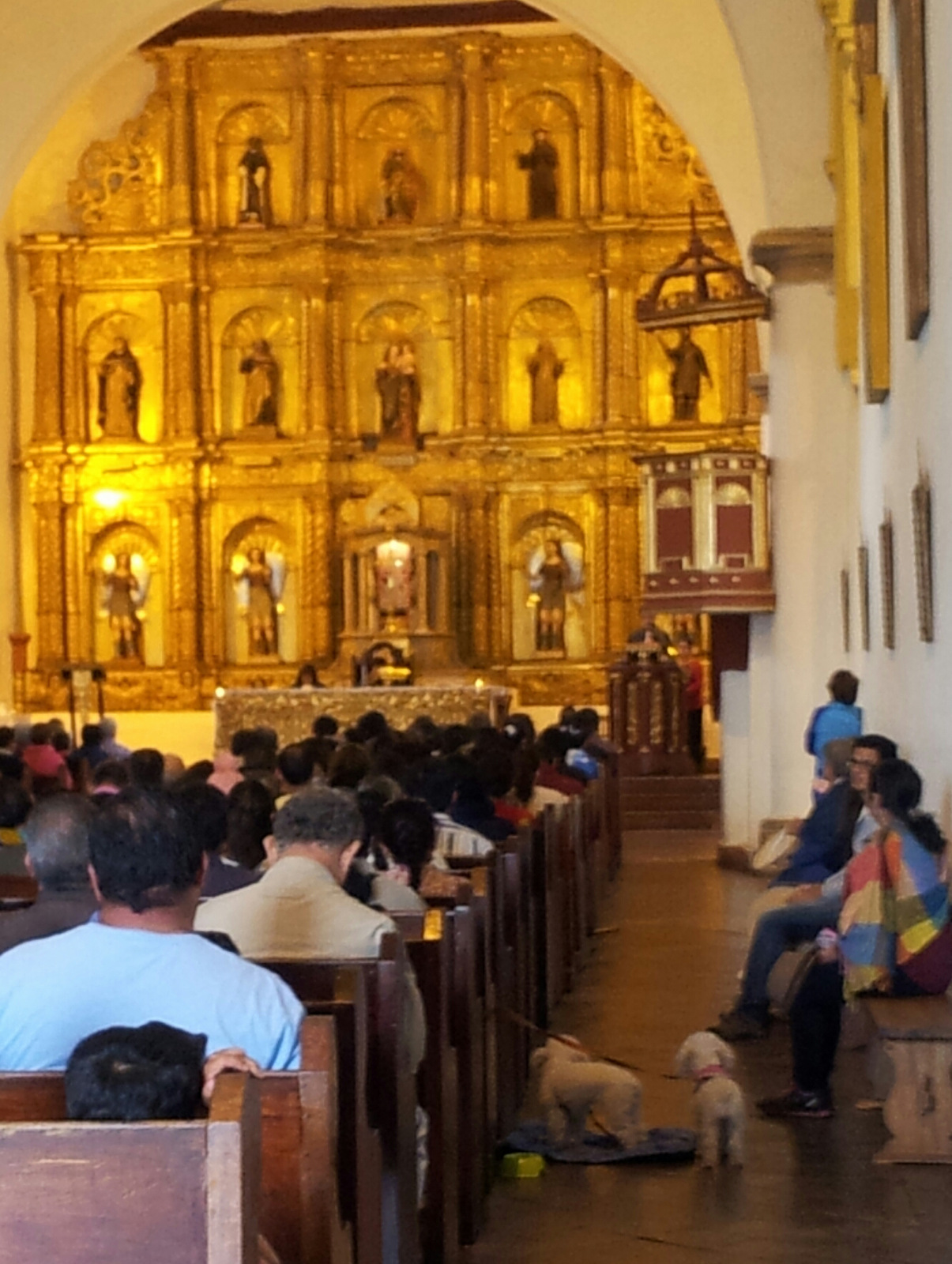
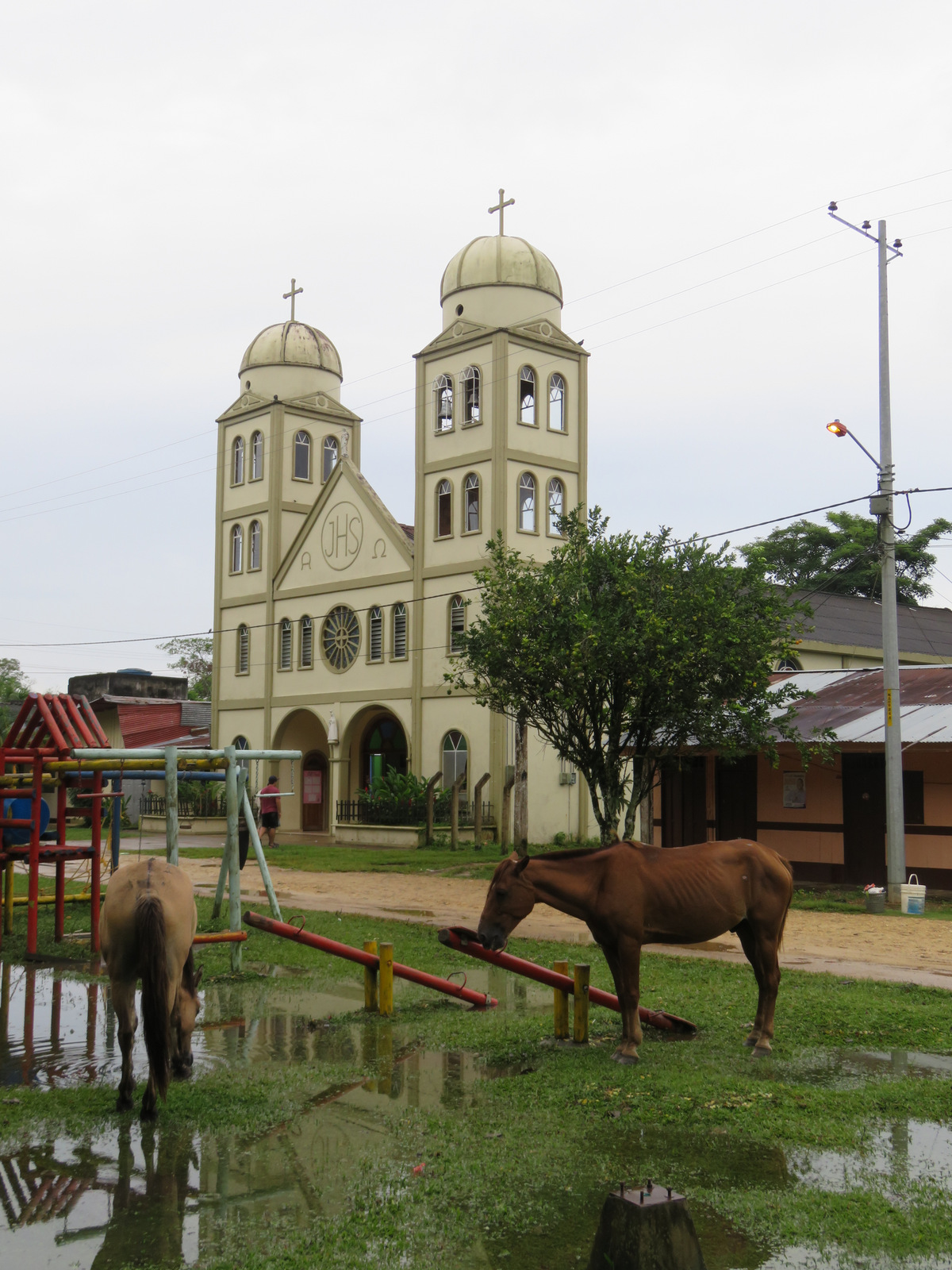
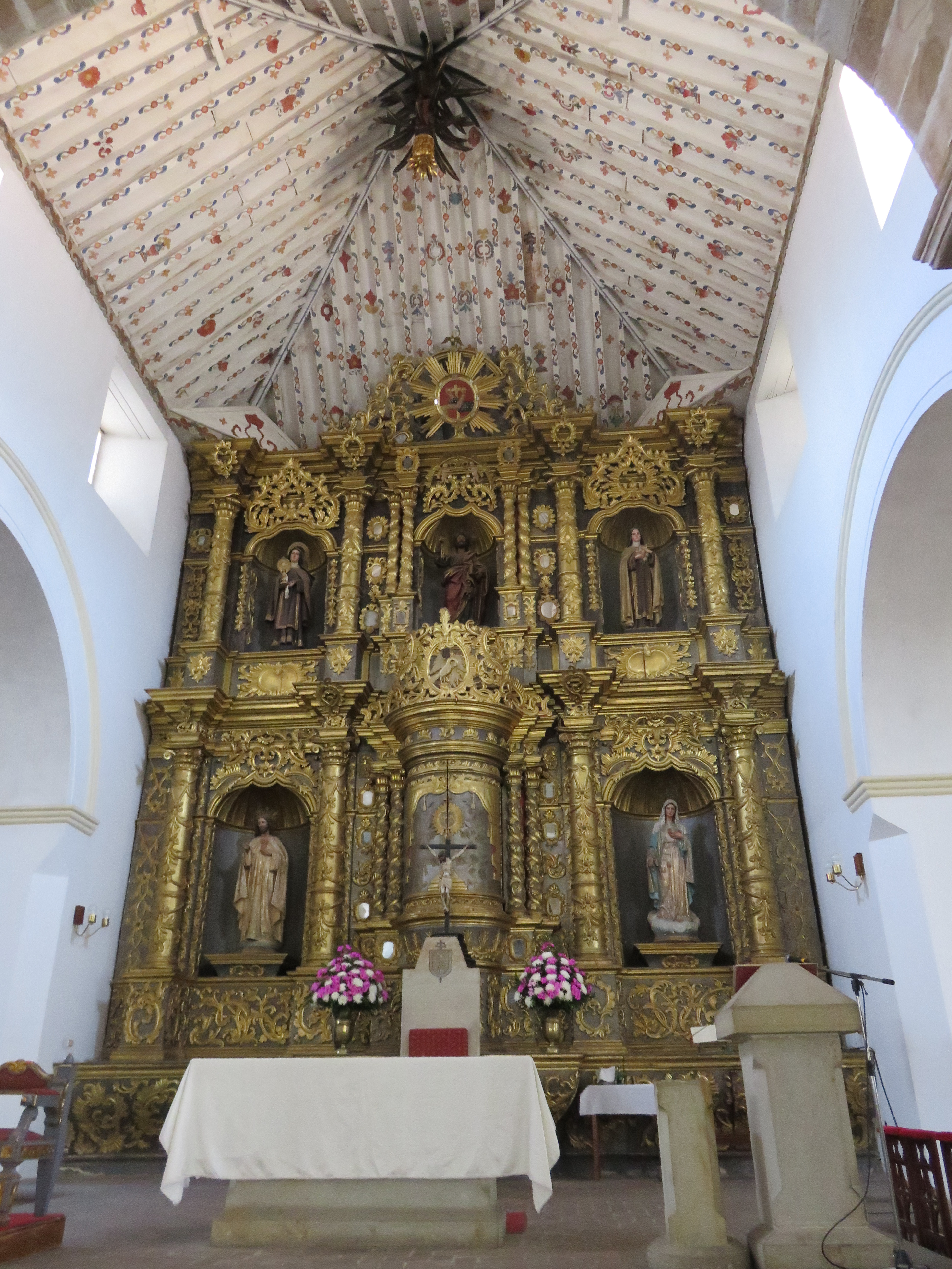
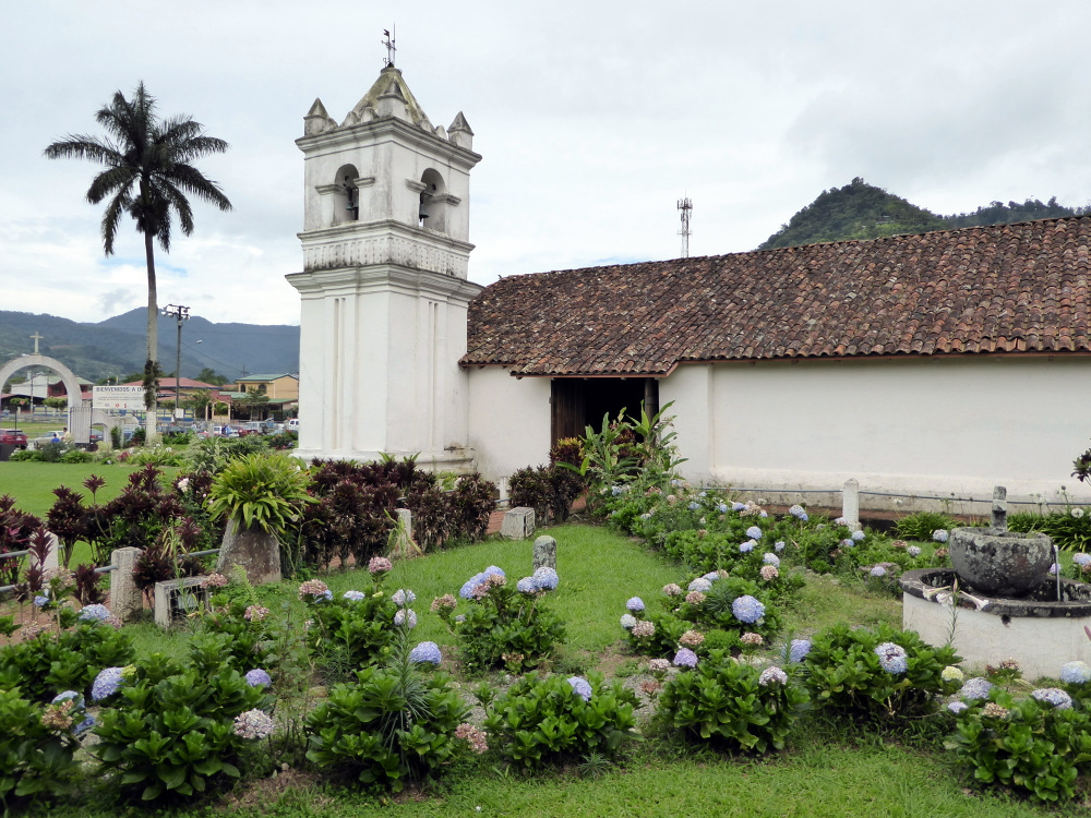
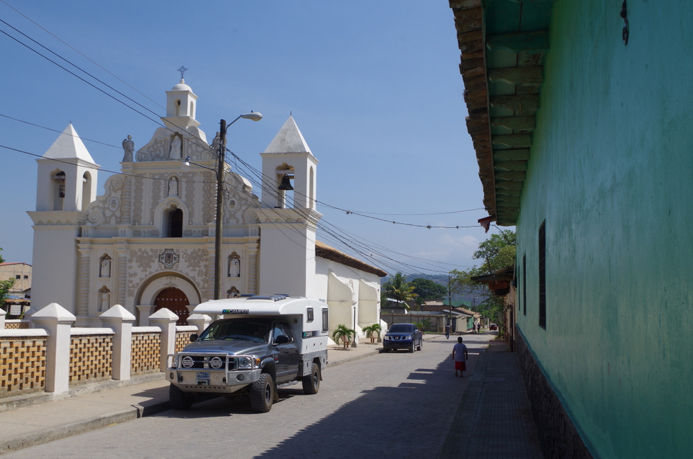
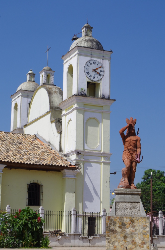
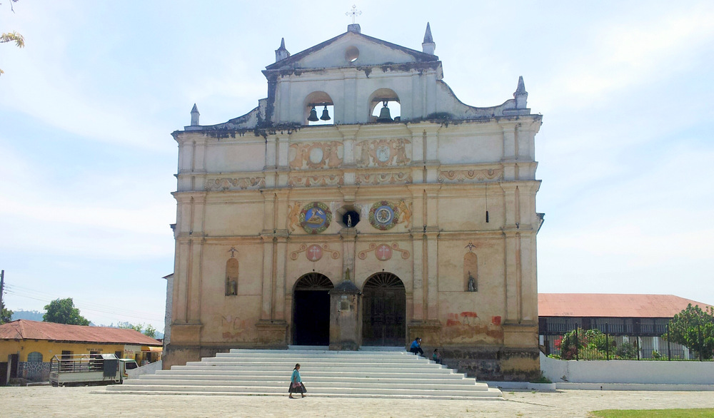
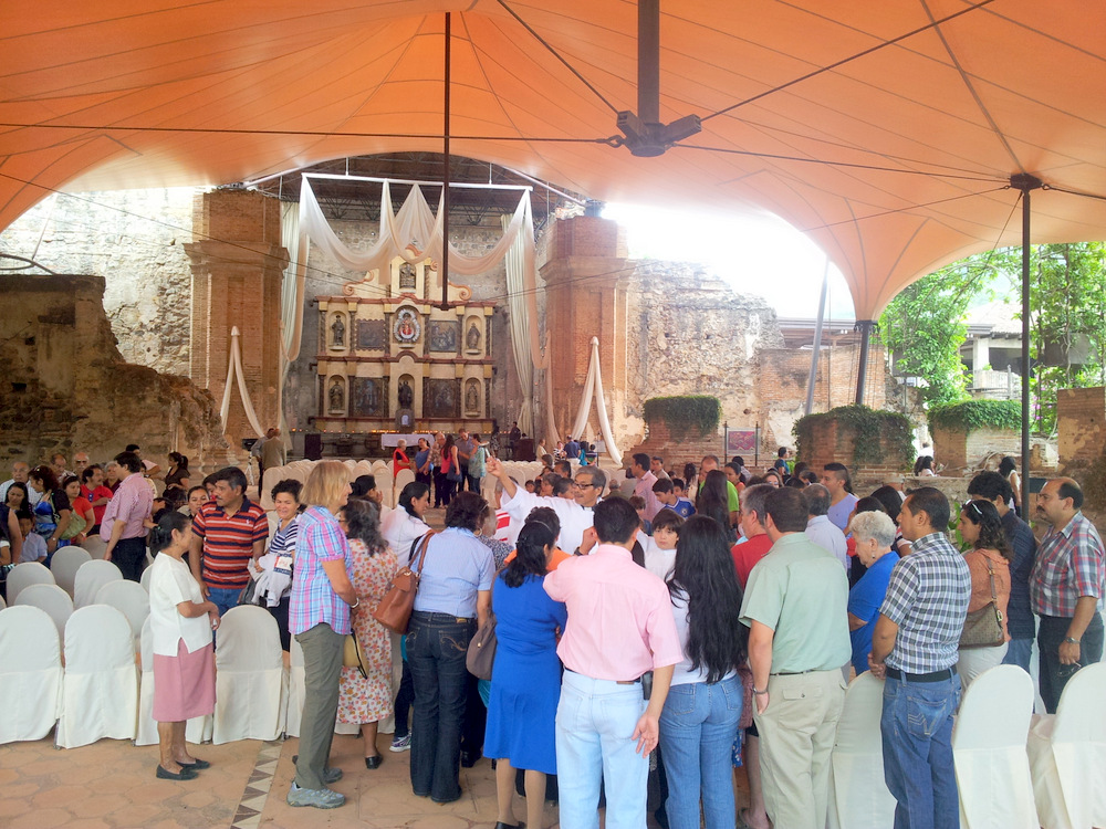
Since the volcanos are mostly shrouded in clouds, one has to get up early or camp near the entrance (a nice spot with room for several campers, but also mostly in the fog). The park opens at 8 am and that is when you should be there. The chances of a sunny top and a view are best in the morning. We chose to visit the Orosi valley and then get an early start from there. The church in Orosi is very beautiful, with wooden ceilings and walls and carved altar. Iglesia San Jose de Orosi is the oldest church in Costa Rica still in use, built in 1735.
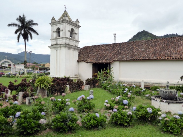
Orosi
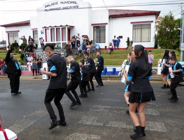
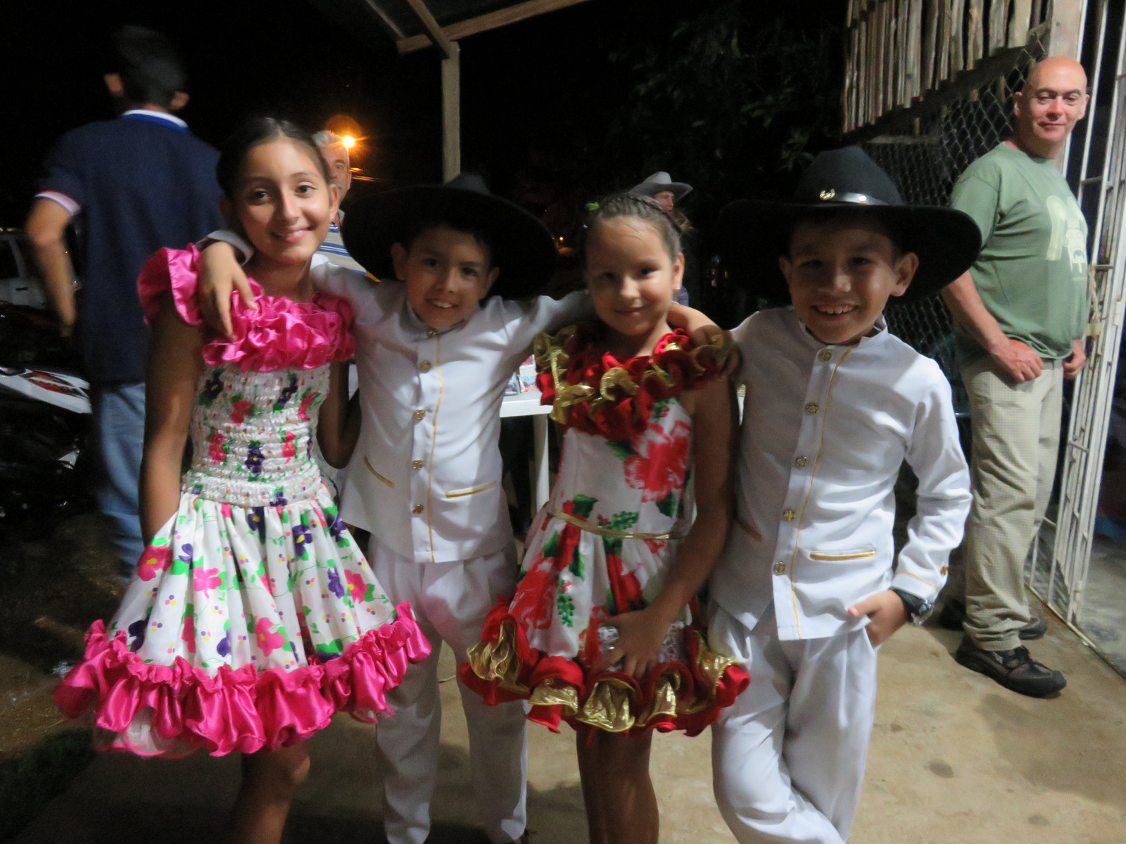
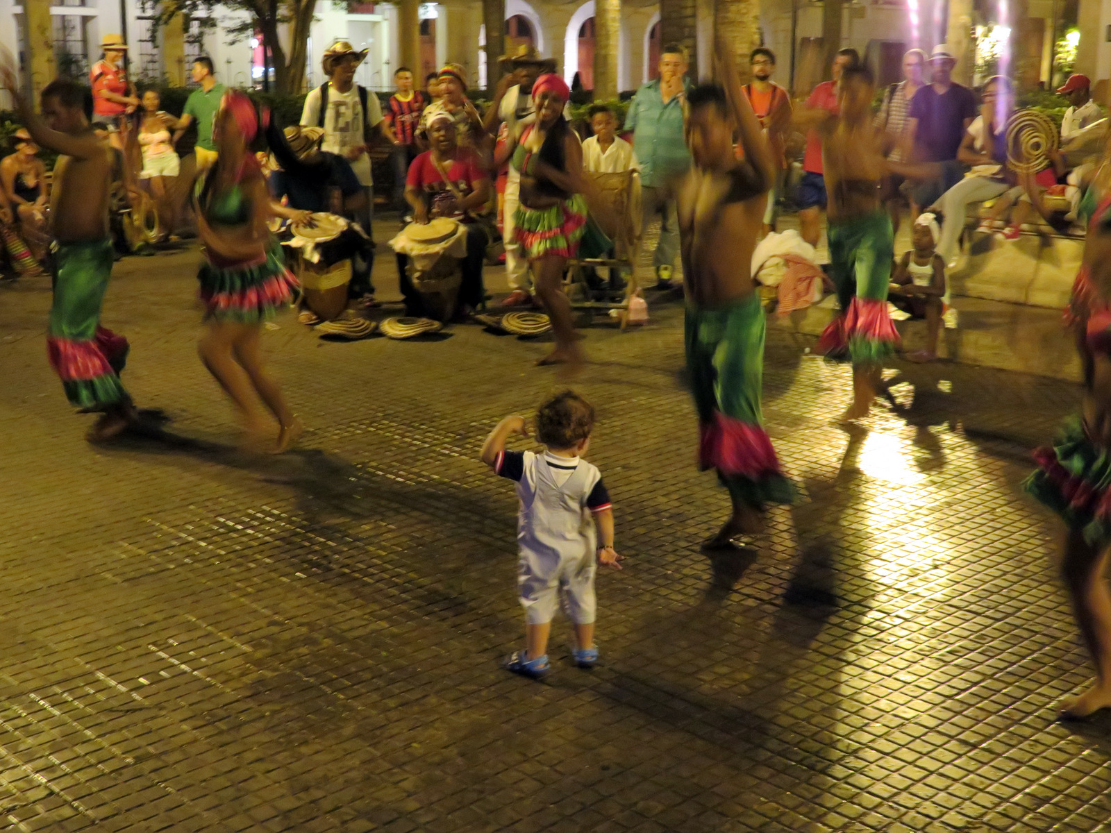
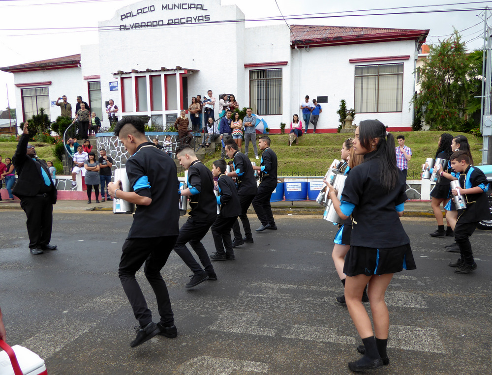
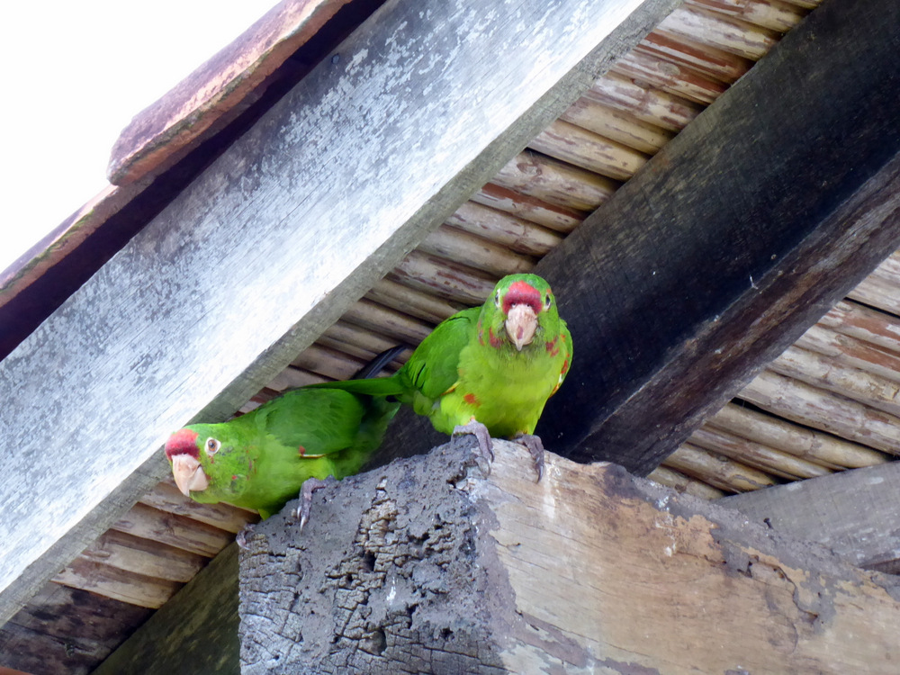
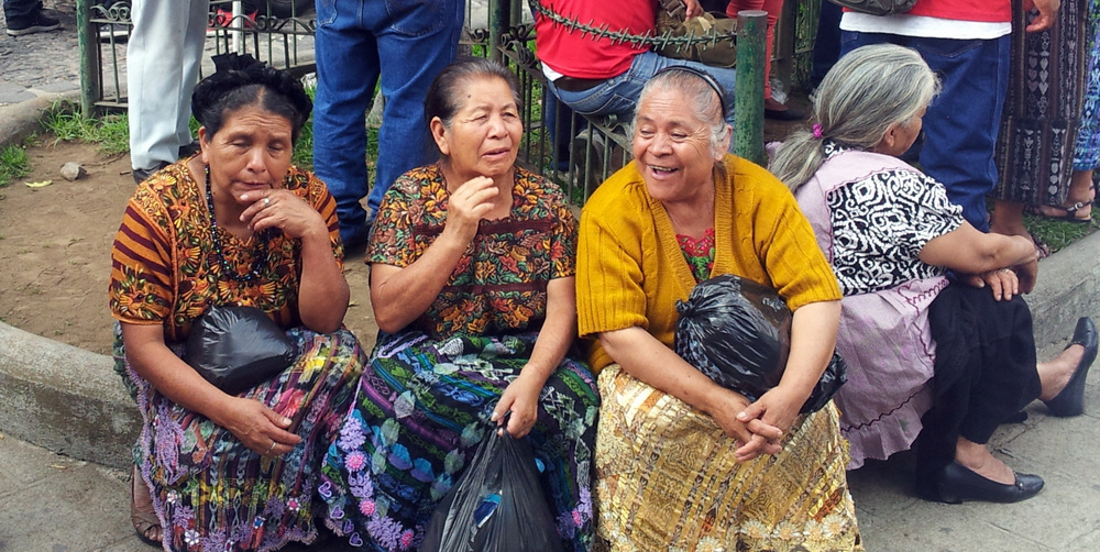
We never figured out what the fiesta was all about.
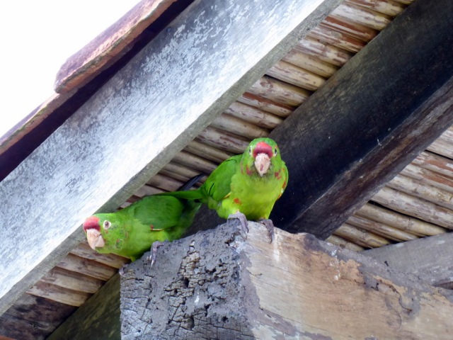
There are resident Chrimson-fronted parakeets that nest in the church tower, they were funny and playful and we spent a lot of time watching their antics.
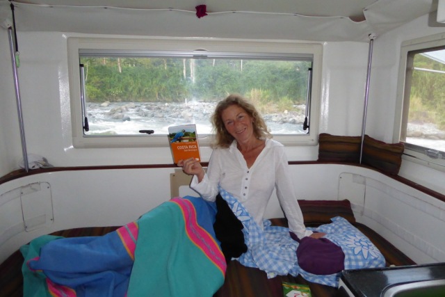
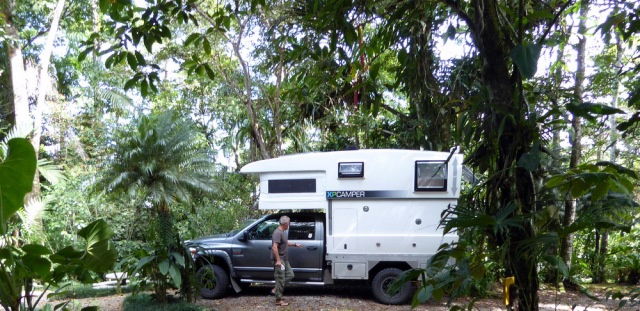
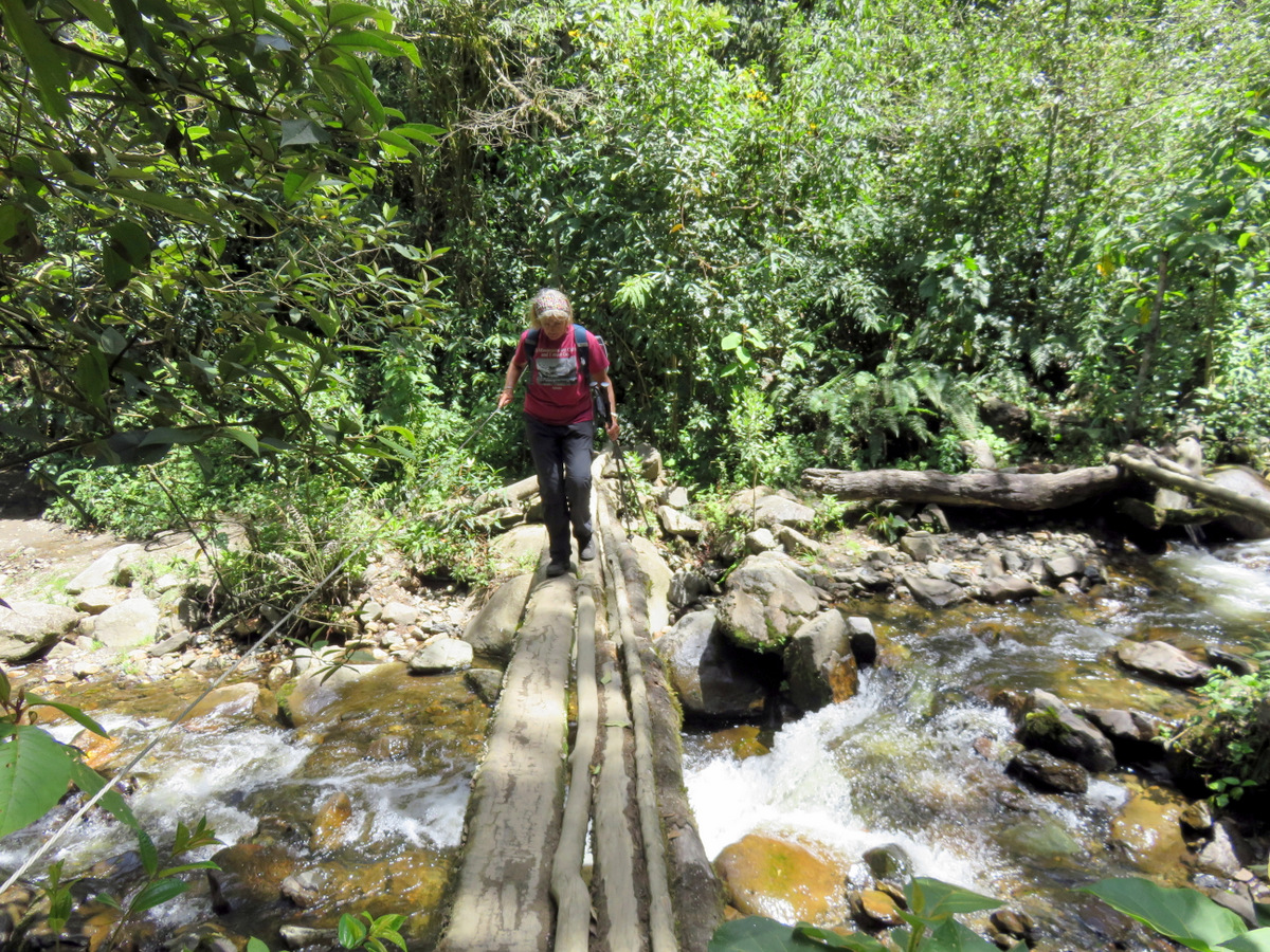
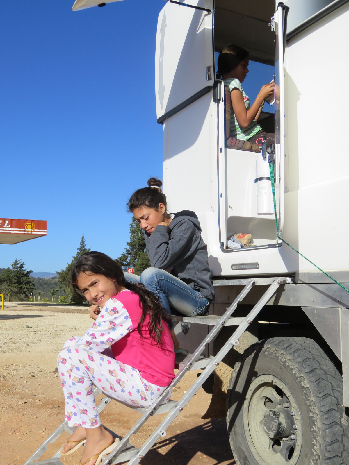
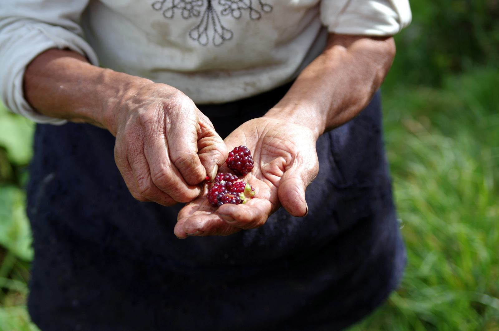
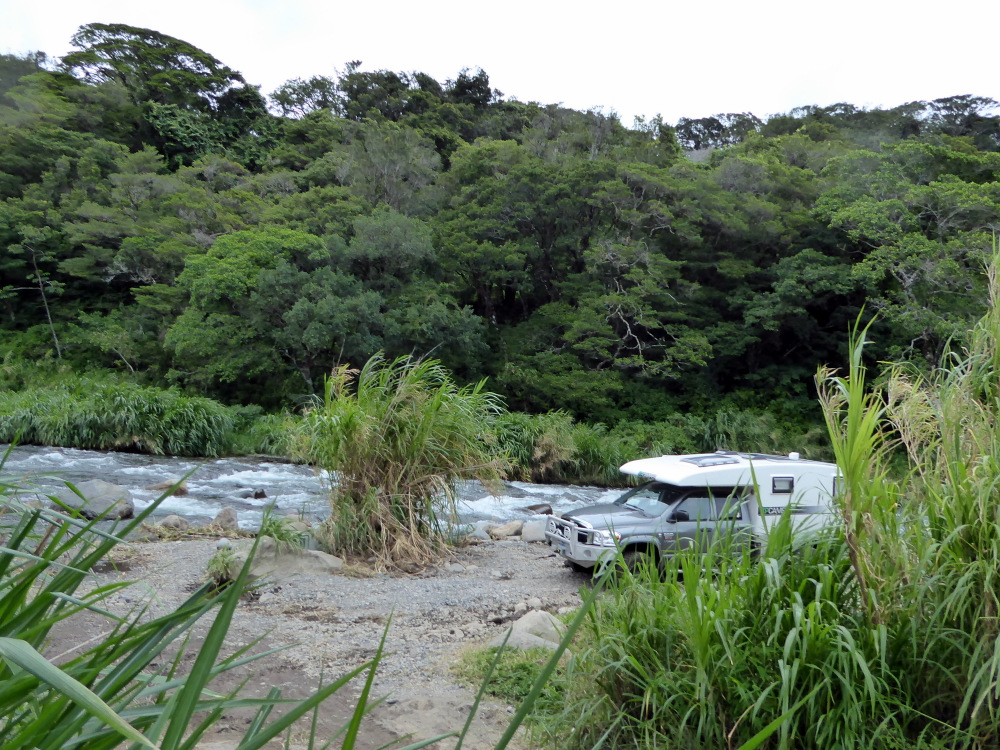
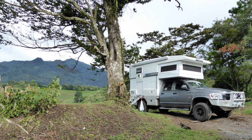
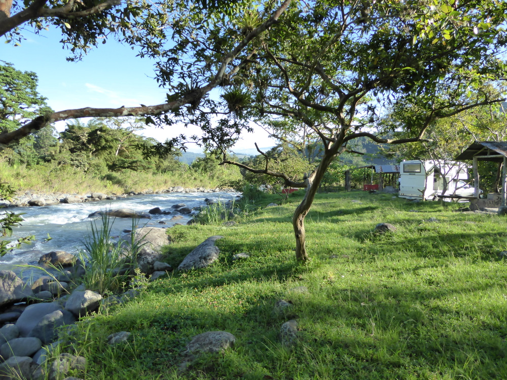
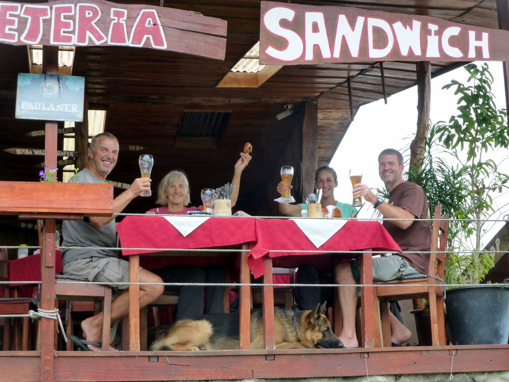
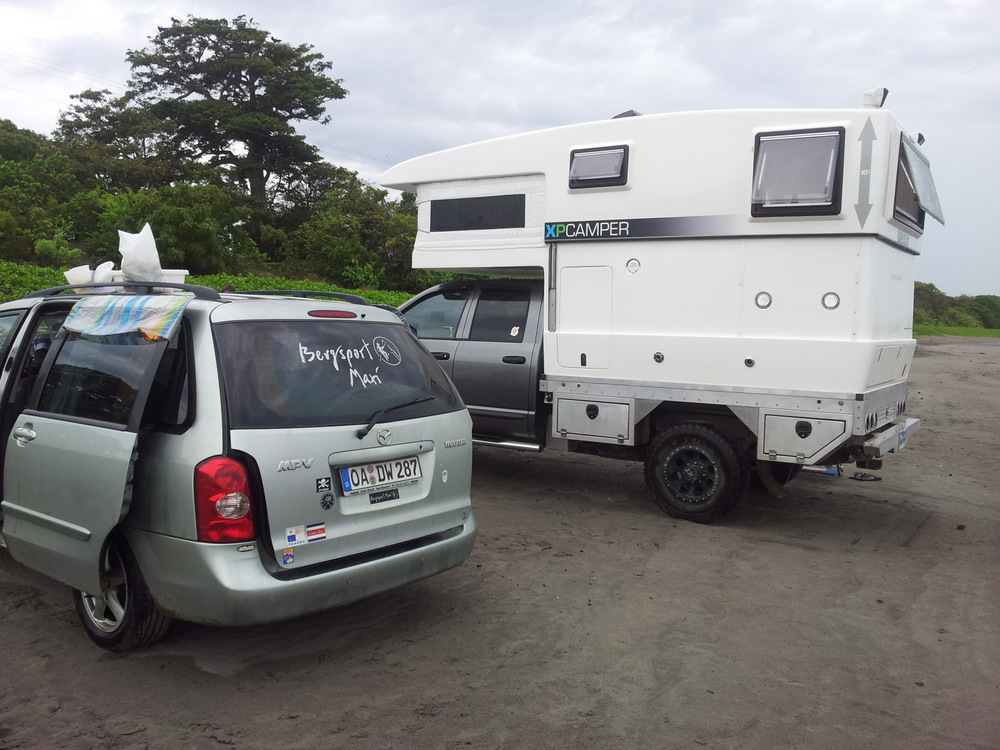
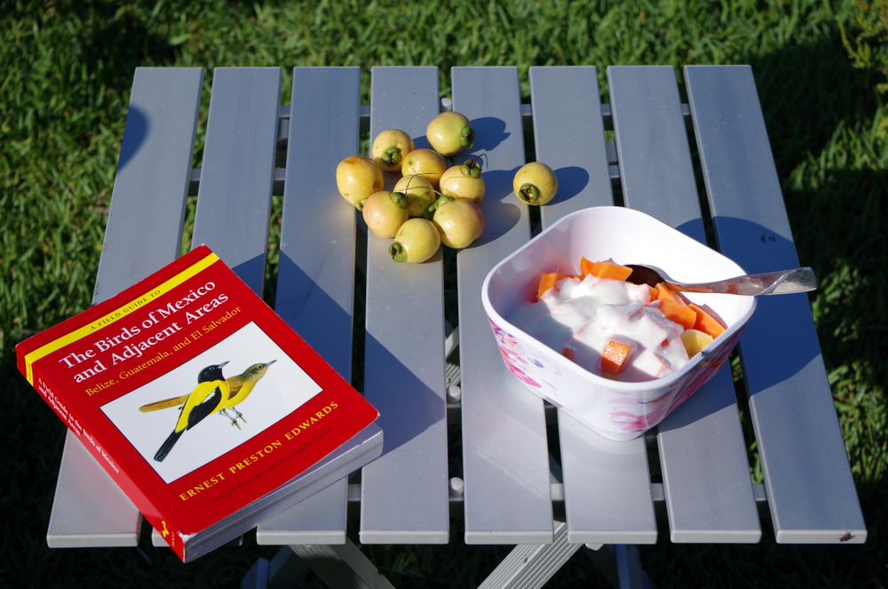
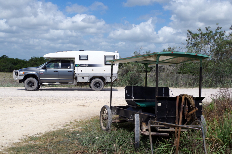
After a short visit to the Tapanti Park where we bought some vegetables from a local farmer and some wild mountain raspberries from a boy, we went to a restaurant/trout farm in Palomo on the banks of the Rio Grande the Orosi. A great spot to camp, the owner did not charge us anything and told us to enjoy. It was our first night with a visitor in our camper. The XP has ample room for one more adult, all we have to do is drop the table and there is an extra bed.
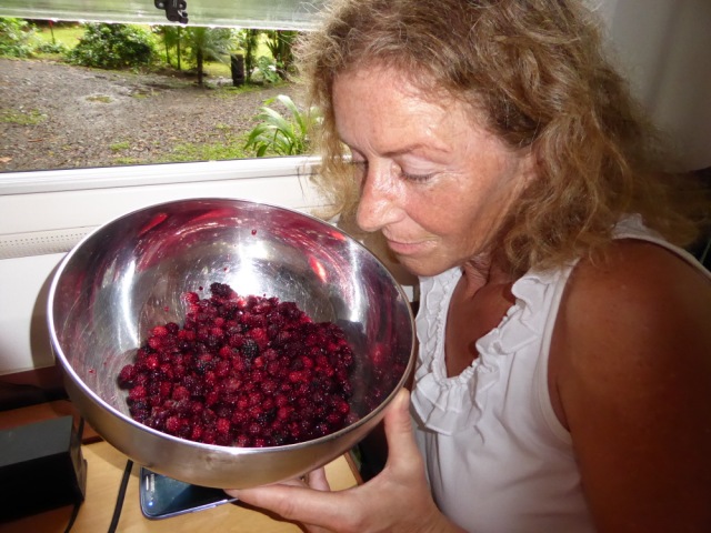
wild raspberries
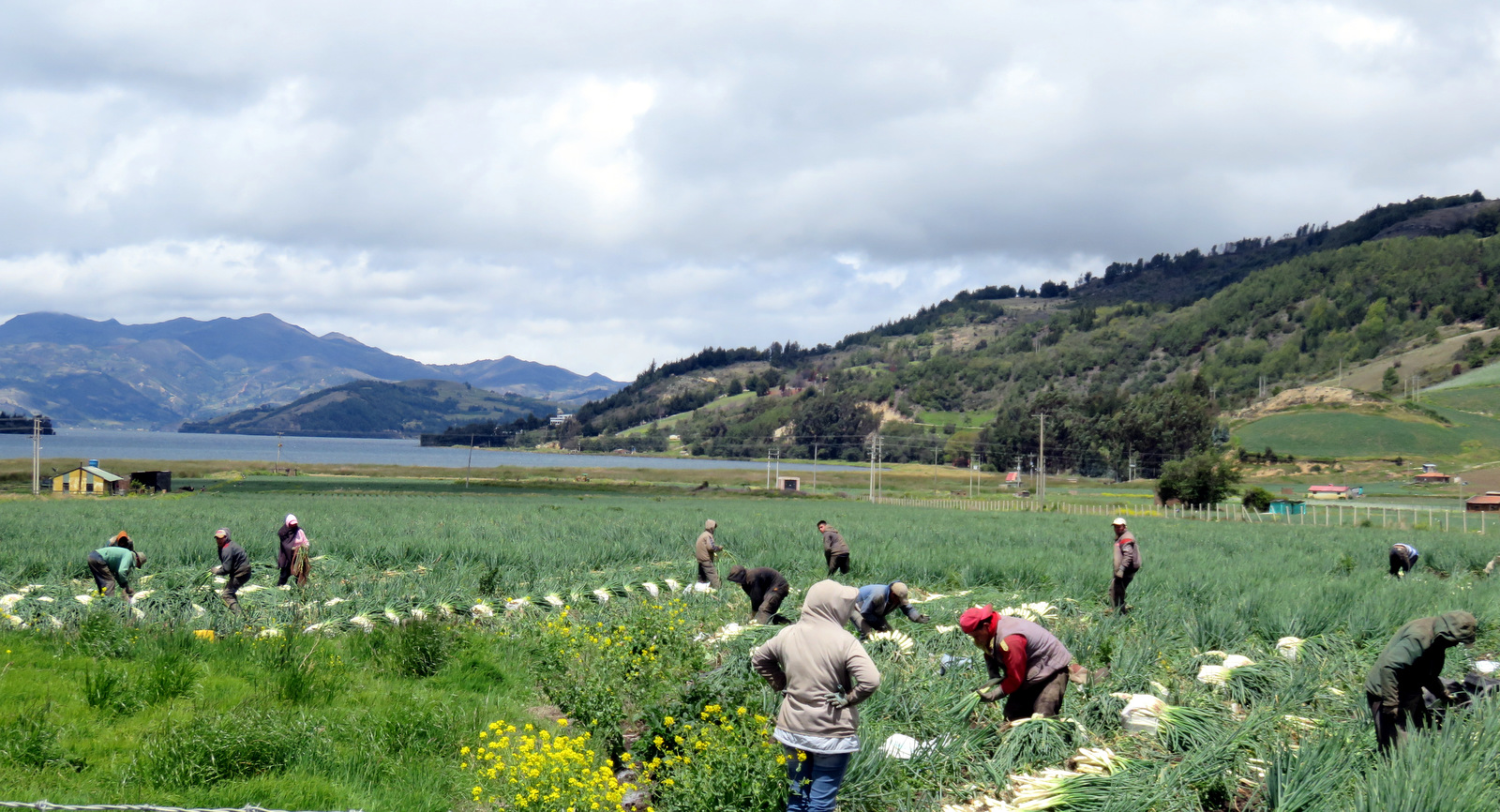
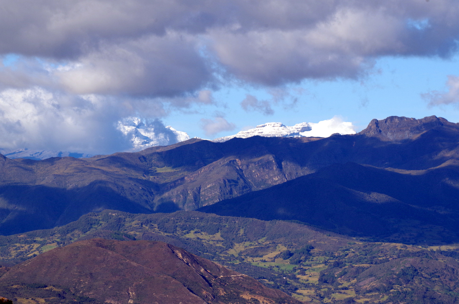
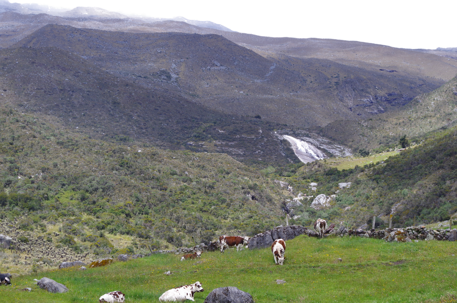
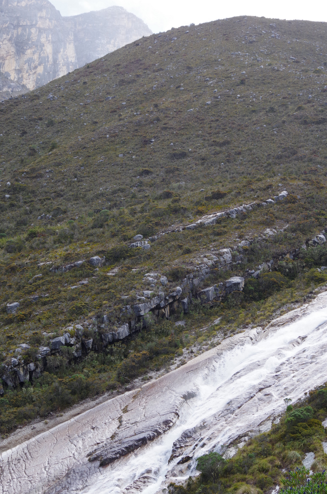
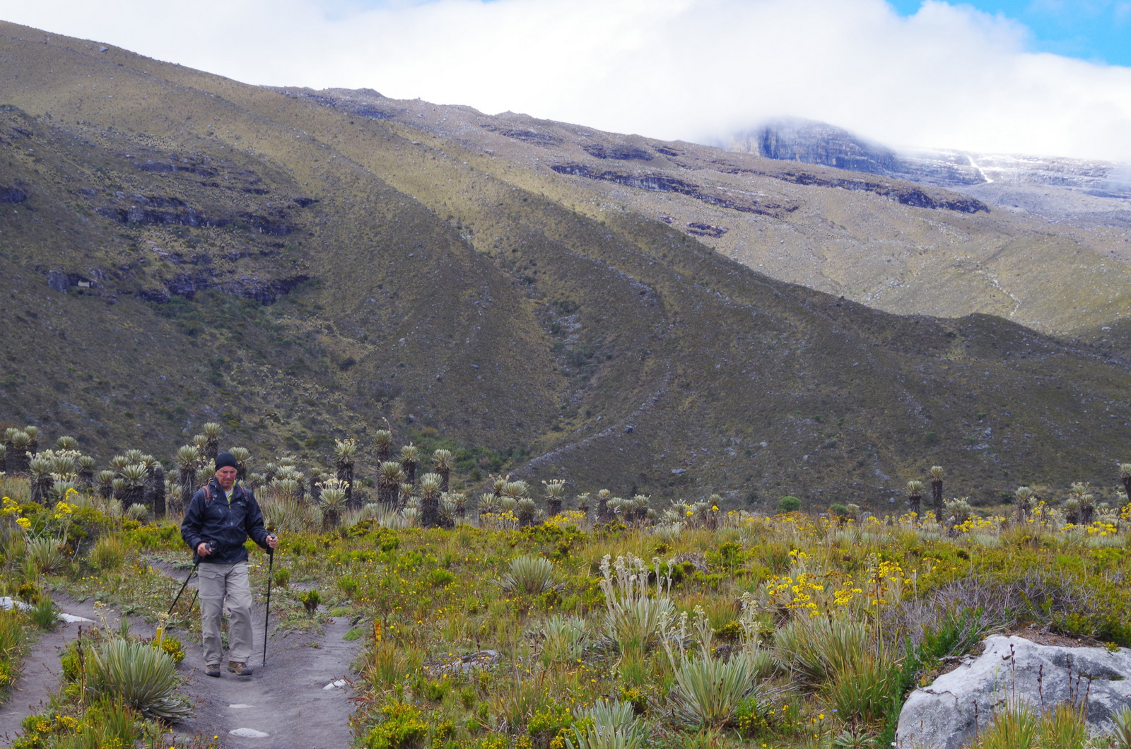
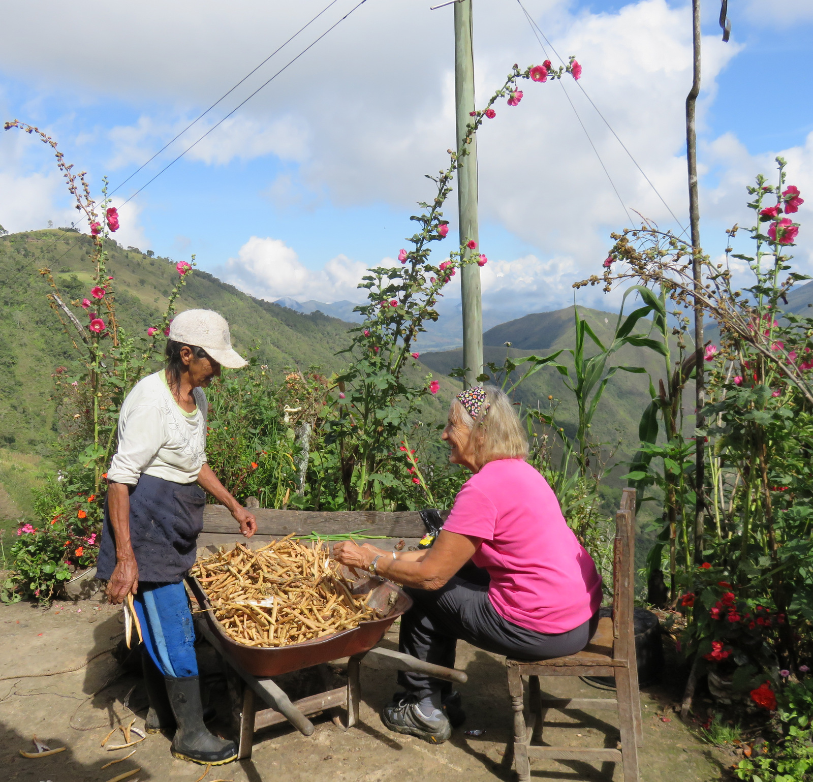
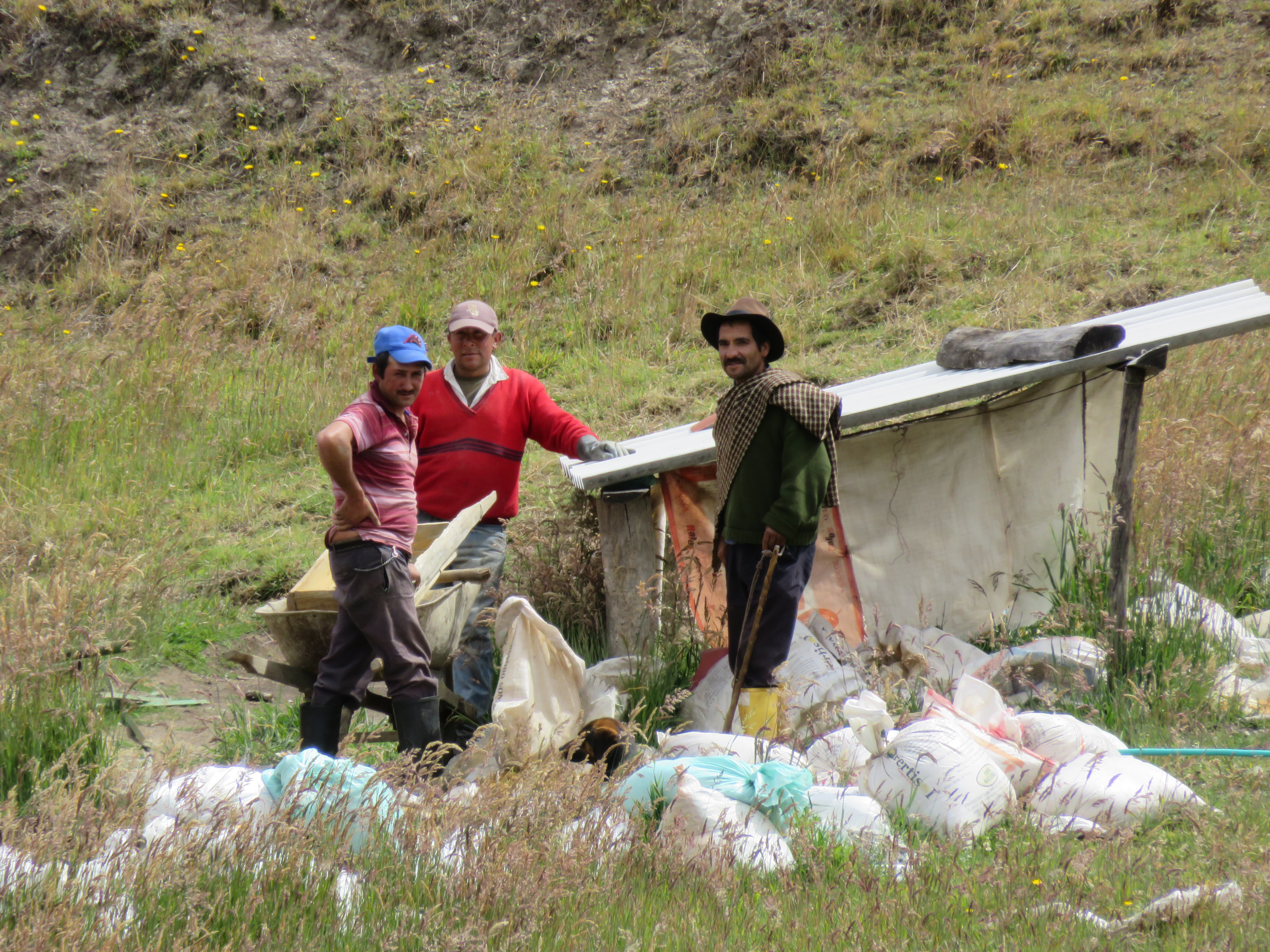
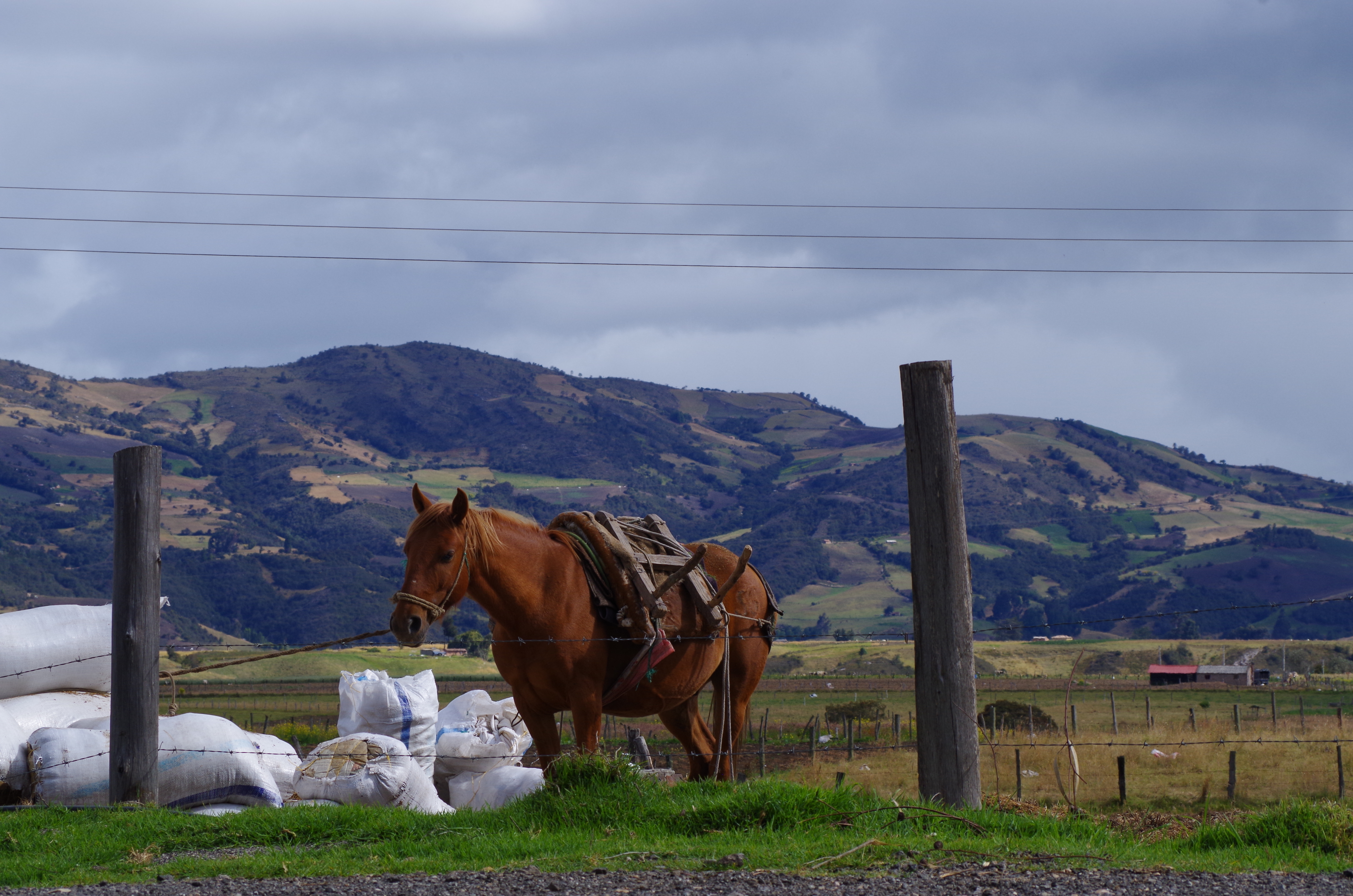
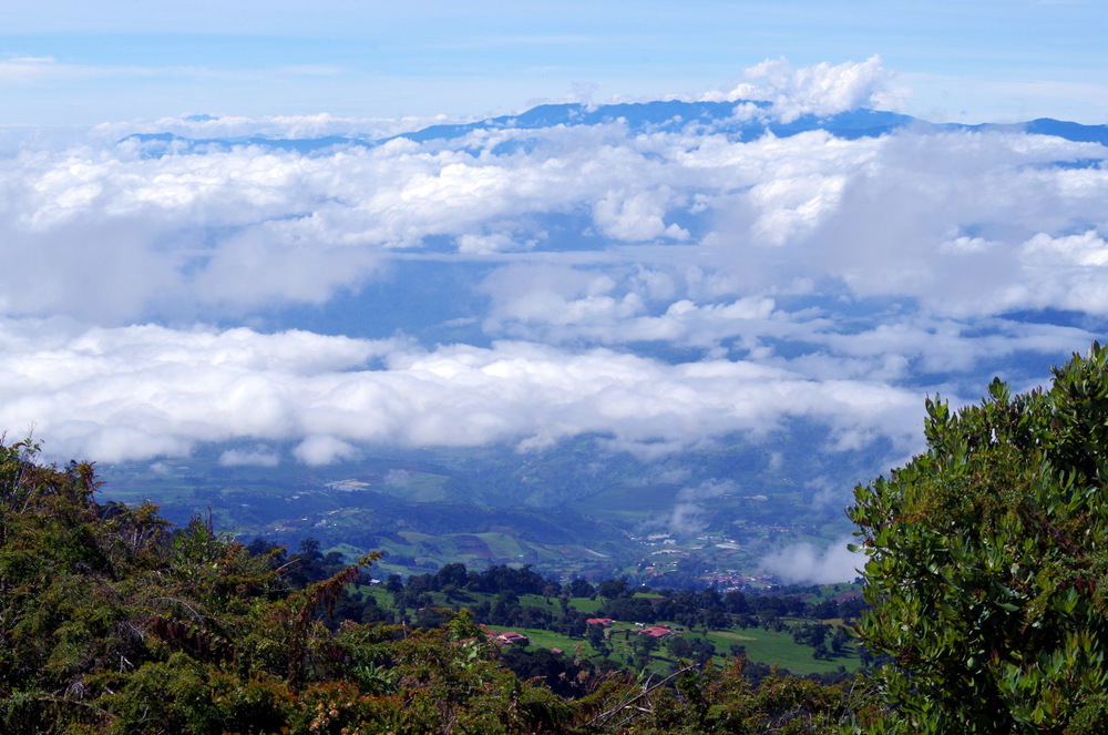
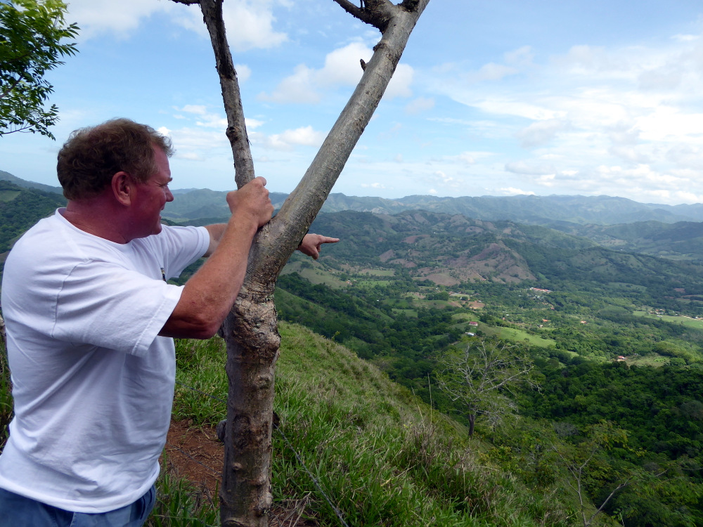
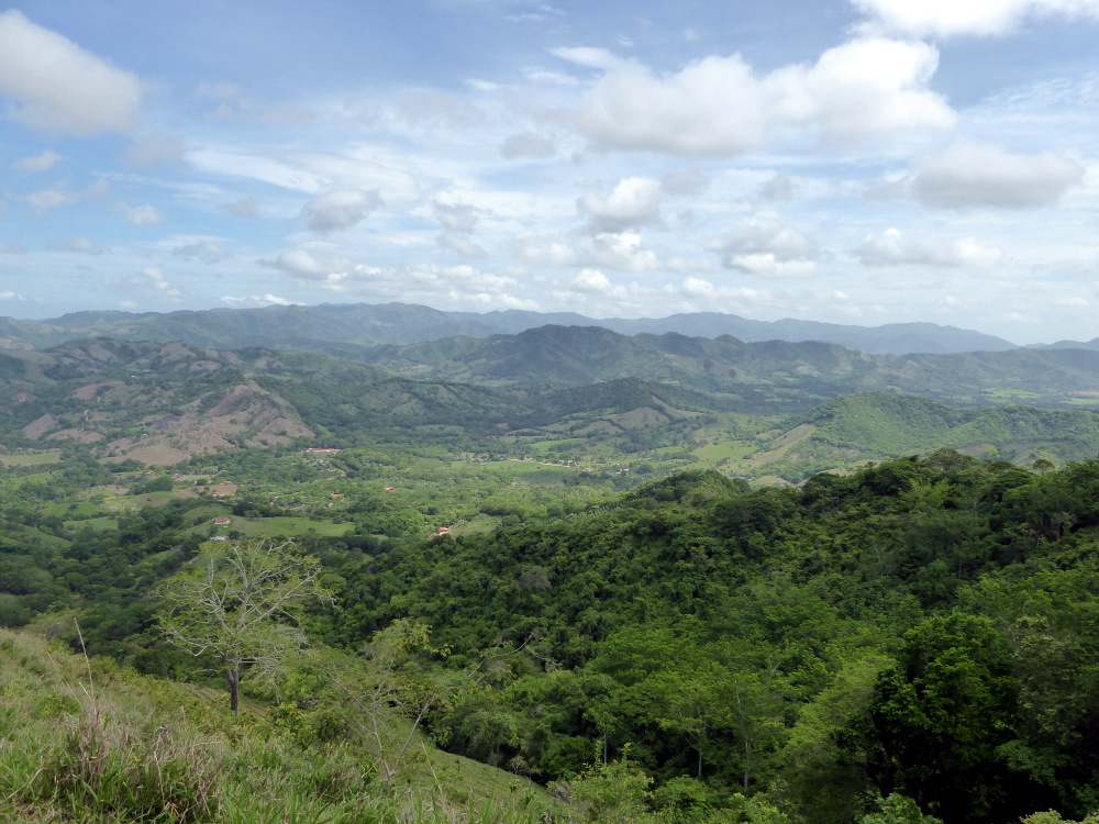
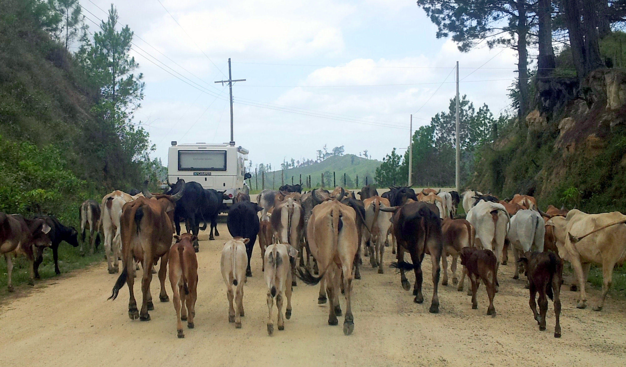
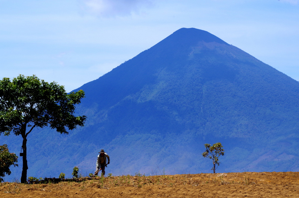
Eight o clock in the next morning saw us at the entrance to the Irazu Volcano National Park, the drive up was spectacular with great vistas. We watched farm workers in the morning light, there are potato fields, strawberry fields, onion fields, flower fields………cattle and goats, very picturesque. The fields were devoid of any weeds and seeing all the spraying activity, we reflected on the fact that even hier in this perfect world there is a dark side. Monsanto is alive and well.

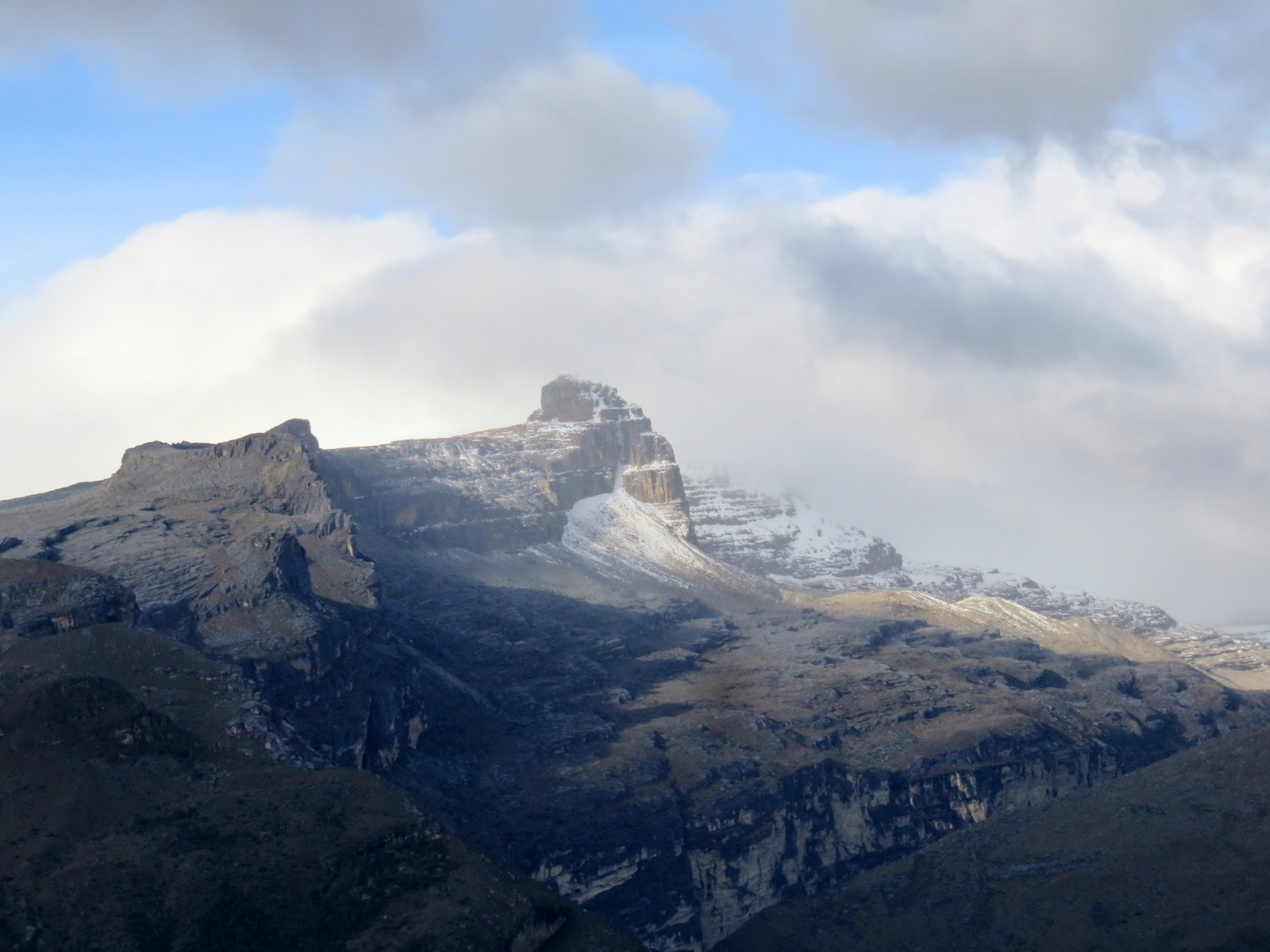
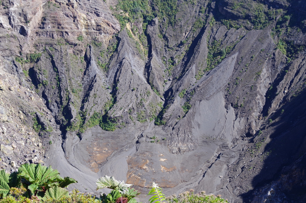
Blick vom Irazu 3432 m
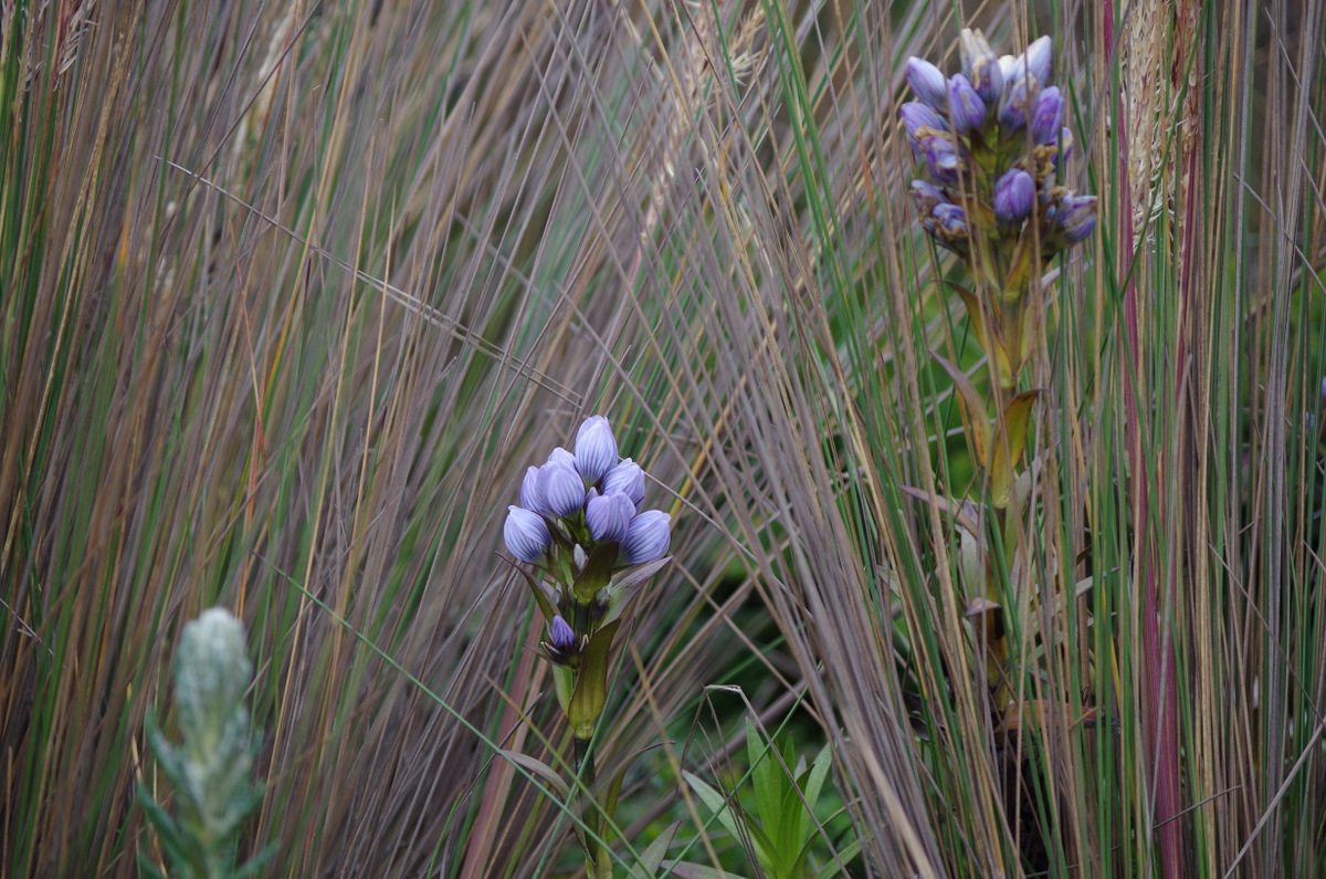
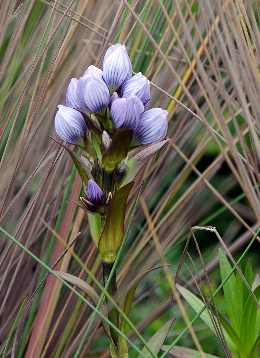
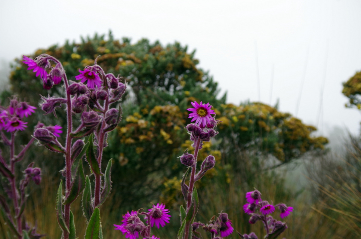
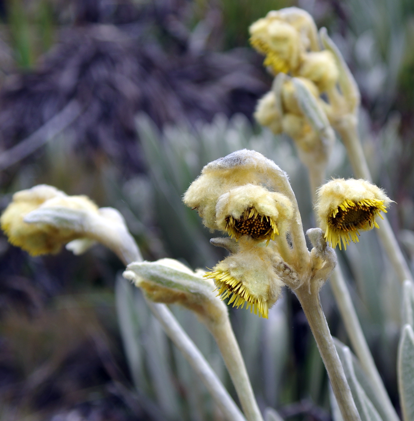
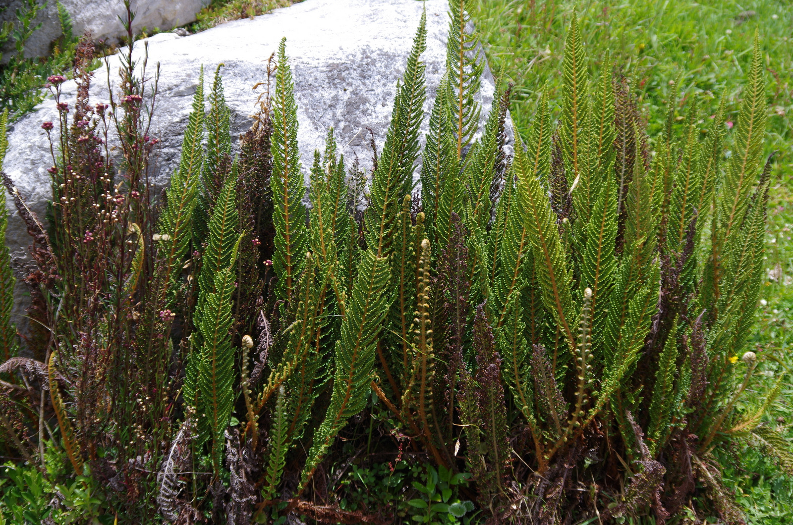
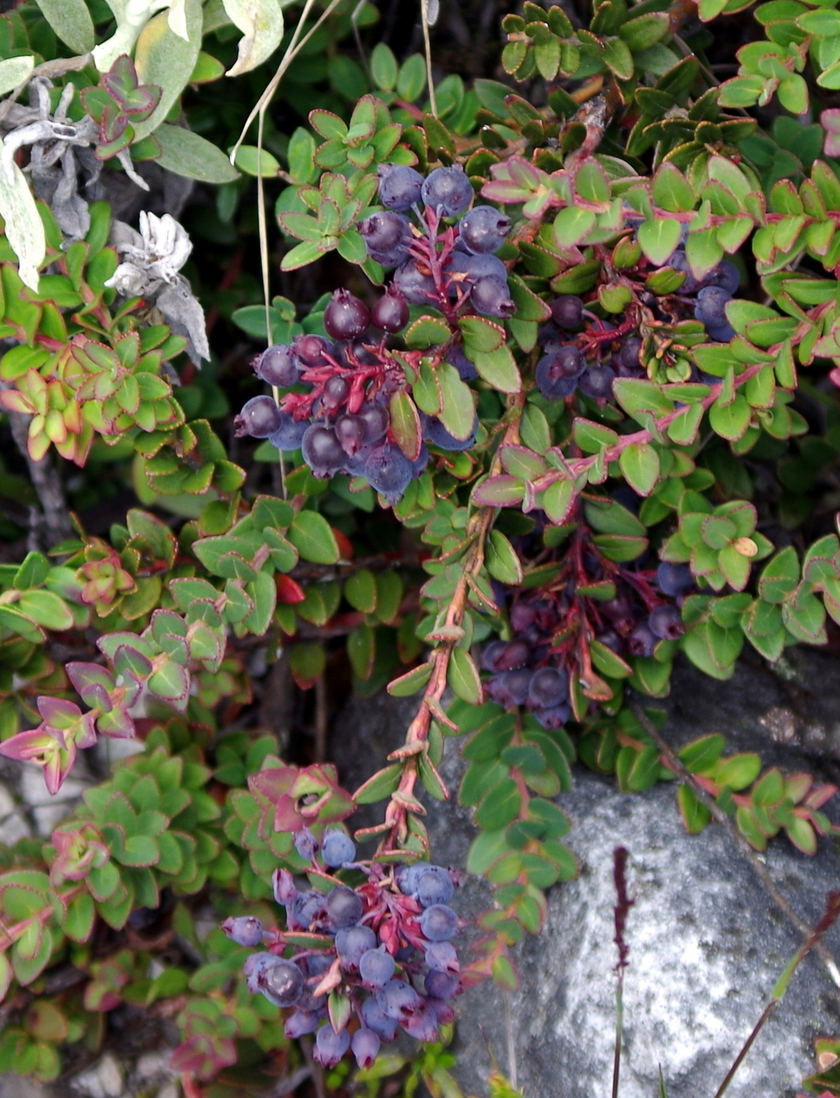
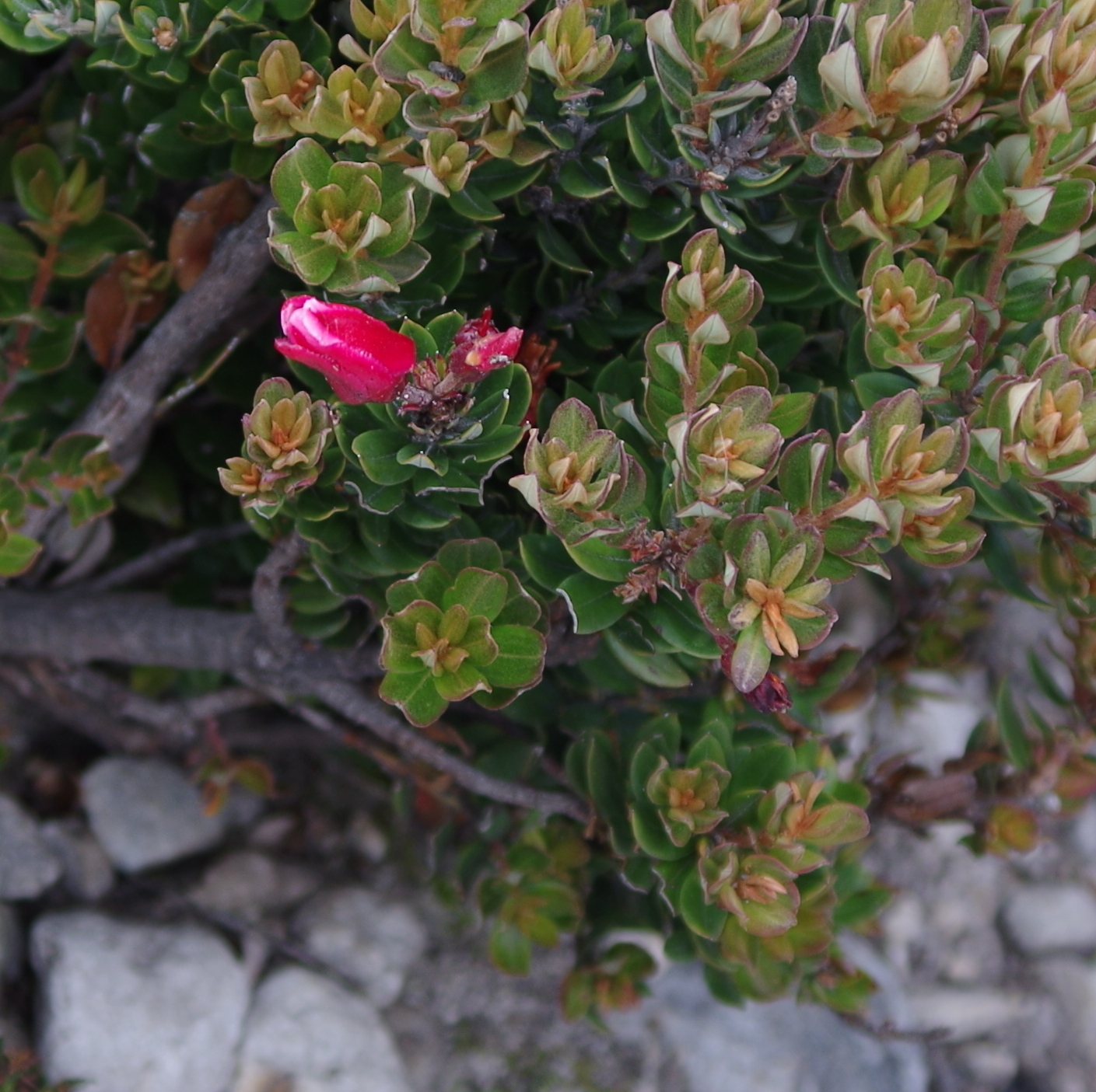
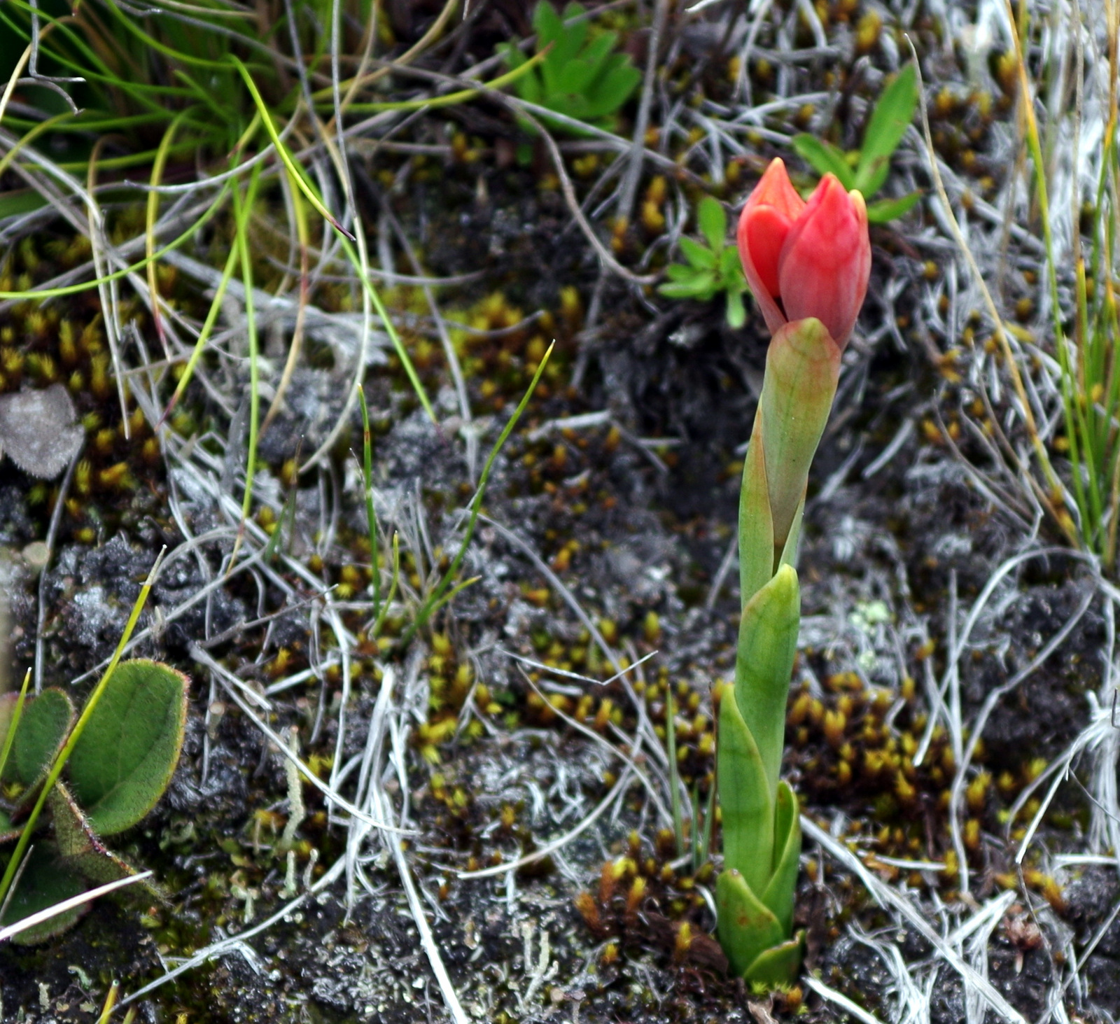
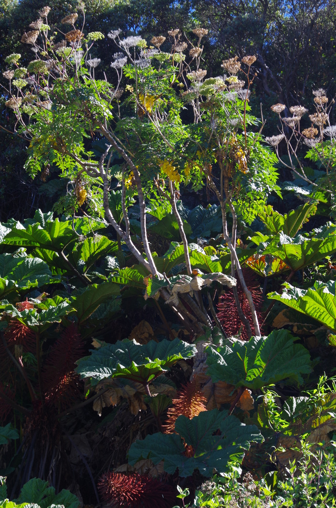
Wild flowers volcano Irazu

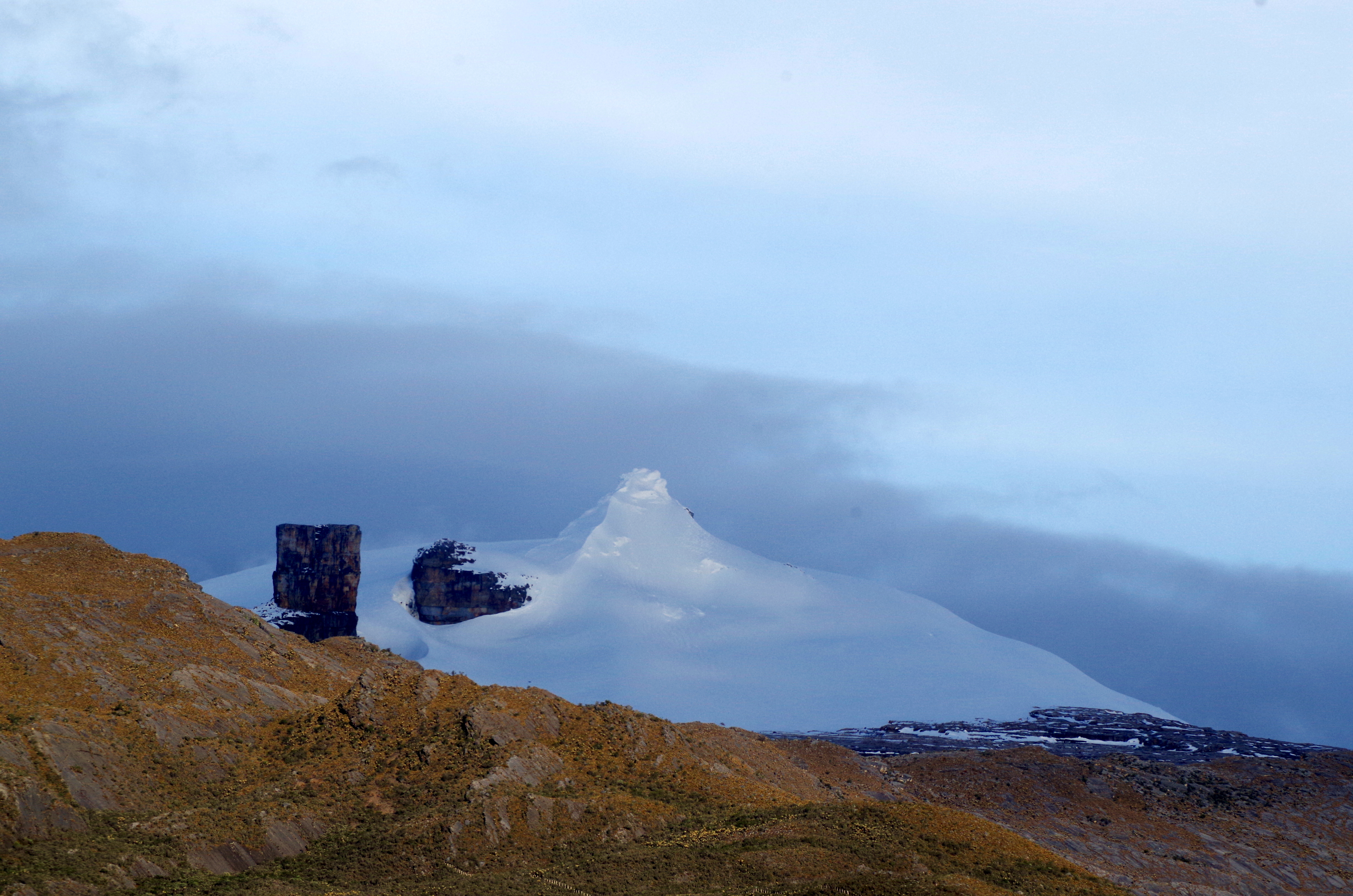
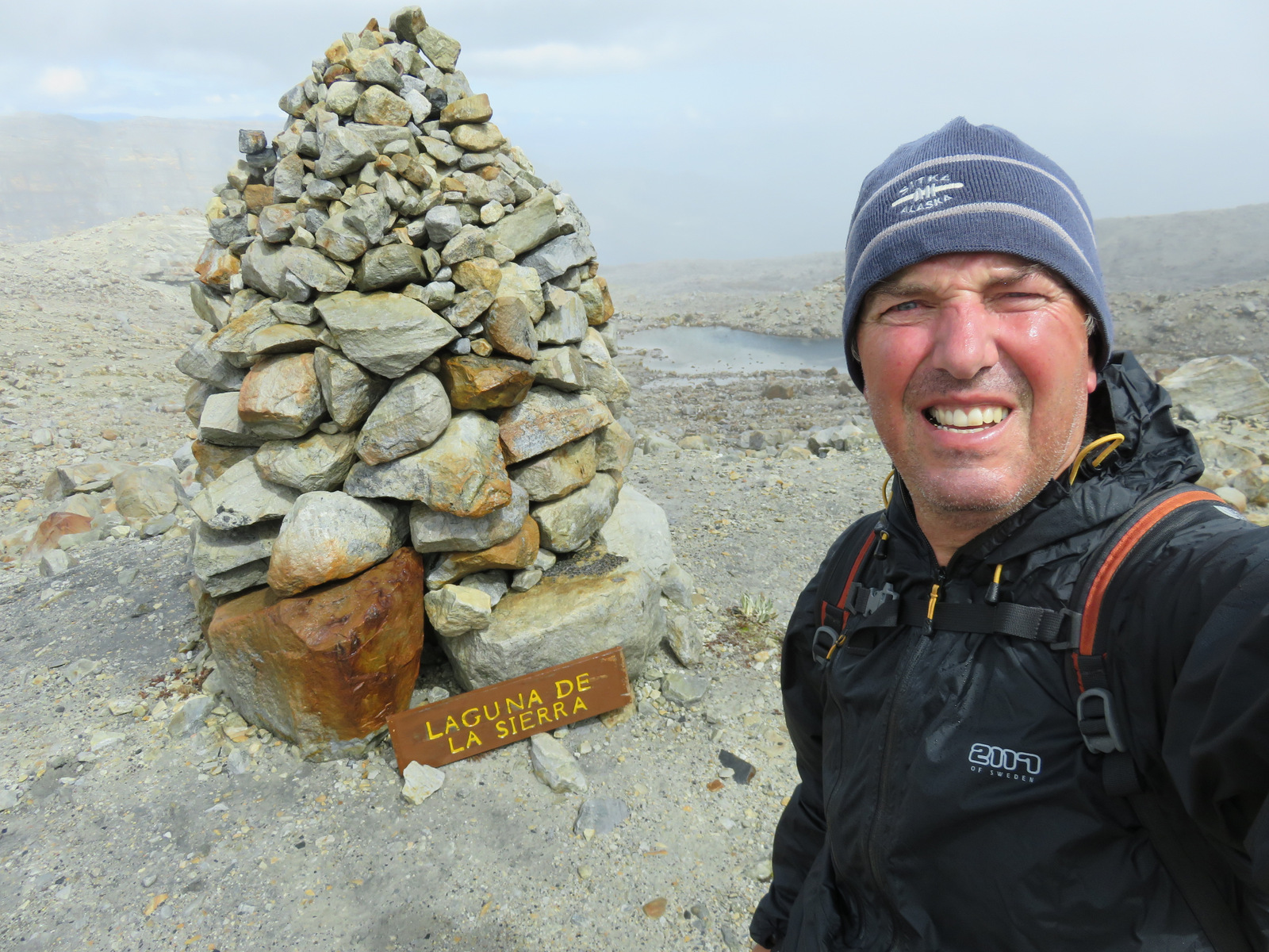
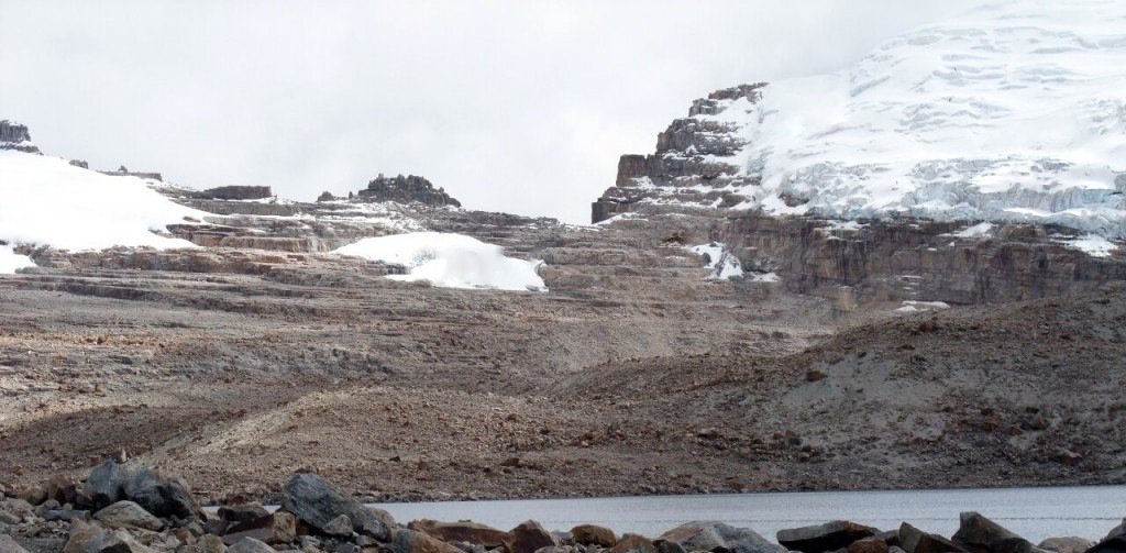
Irazu crater

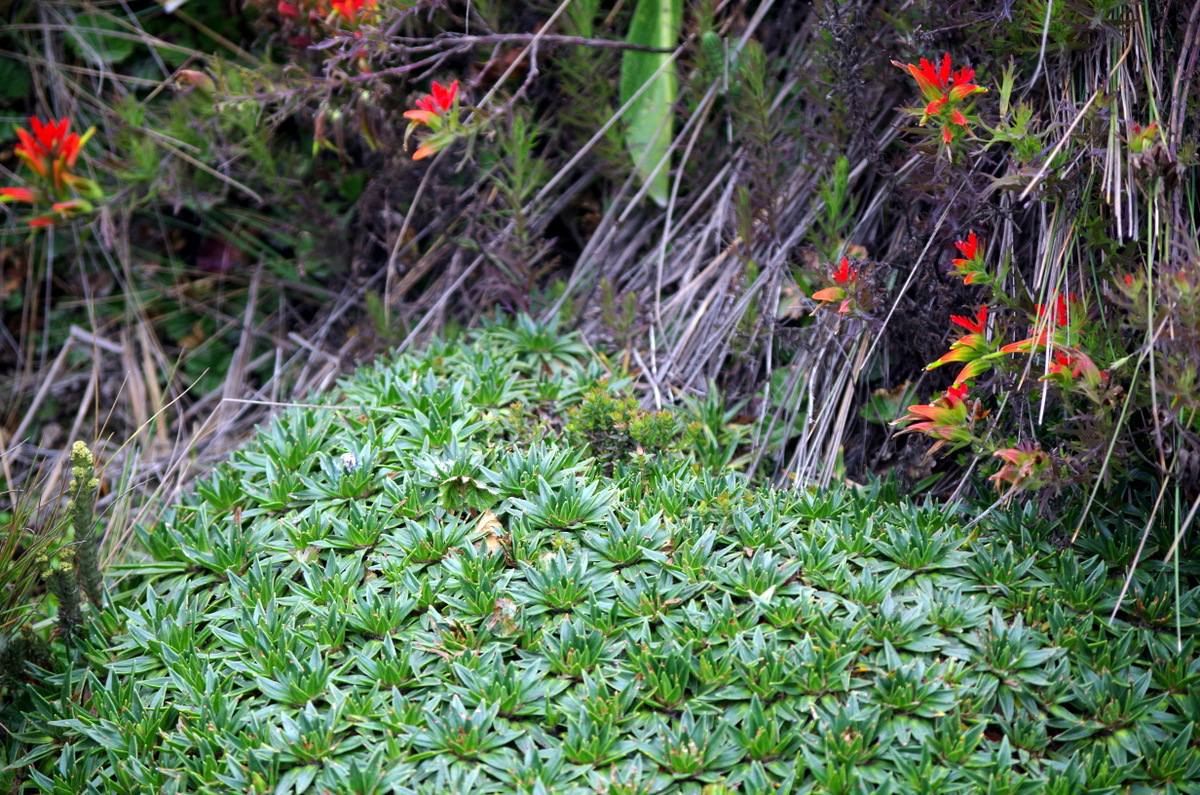
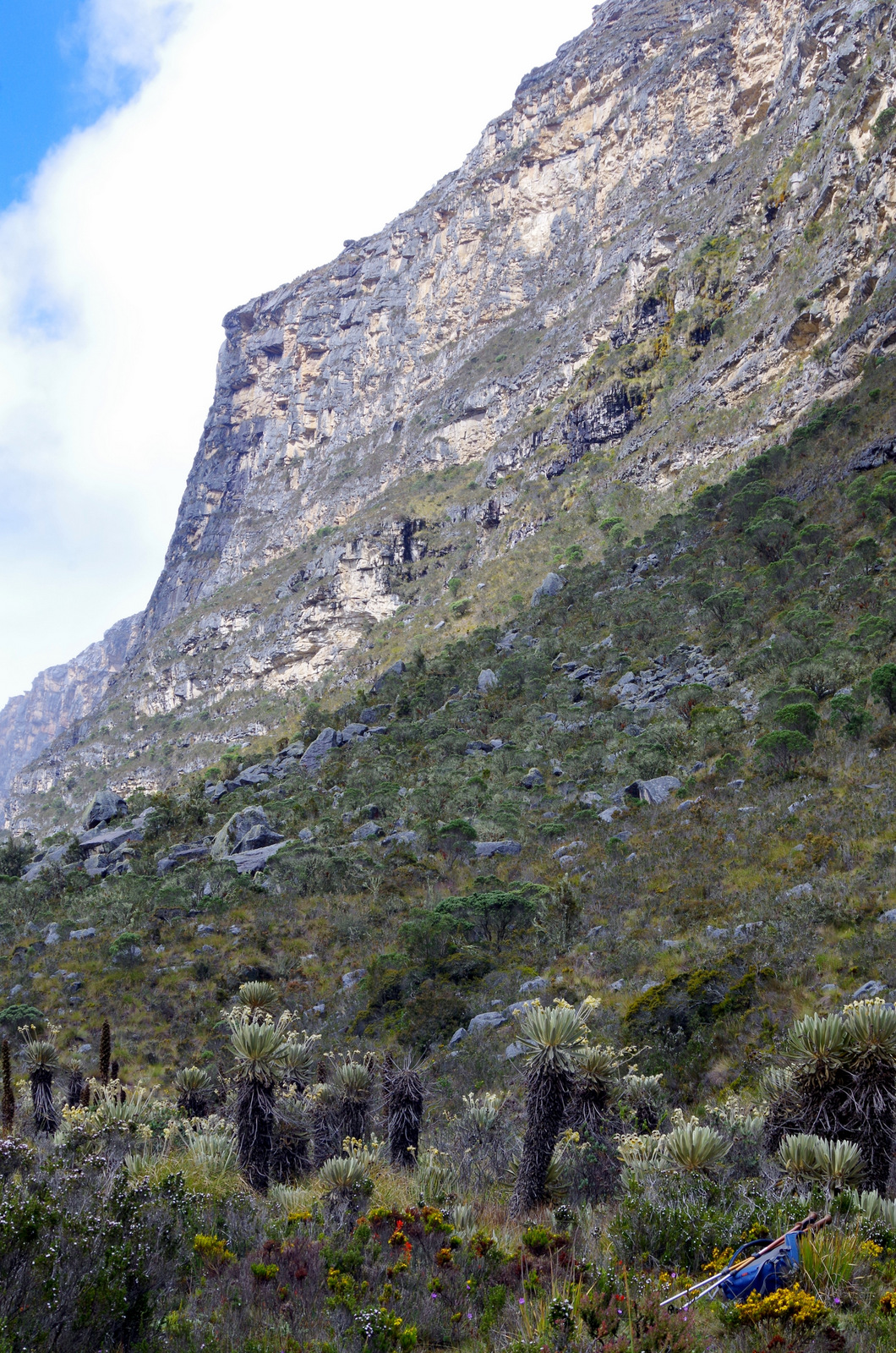
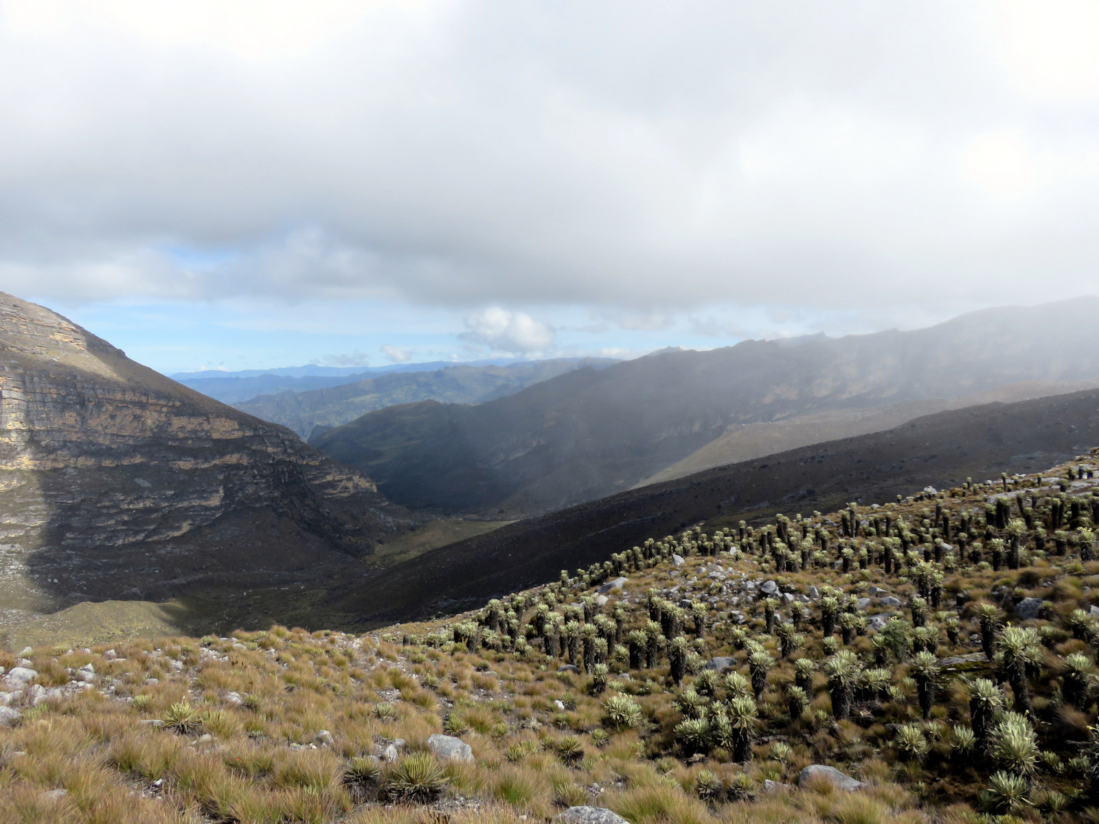
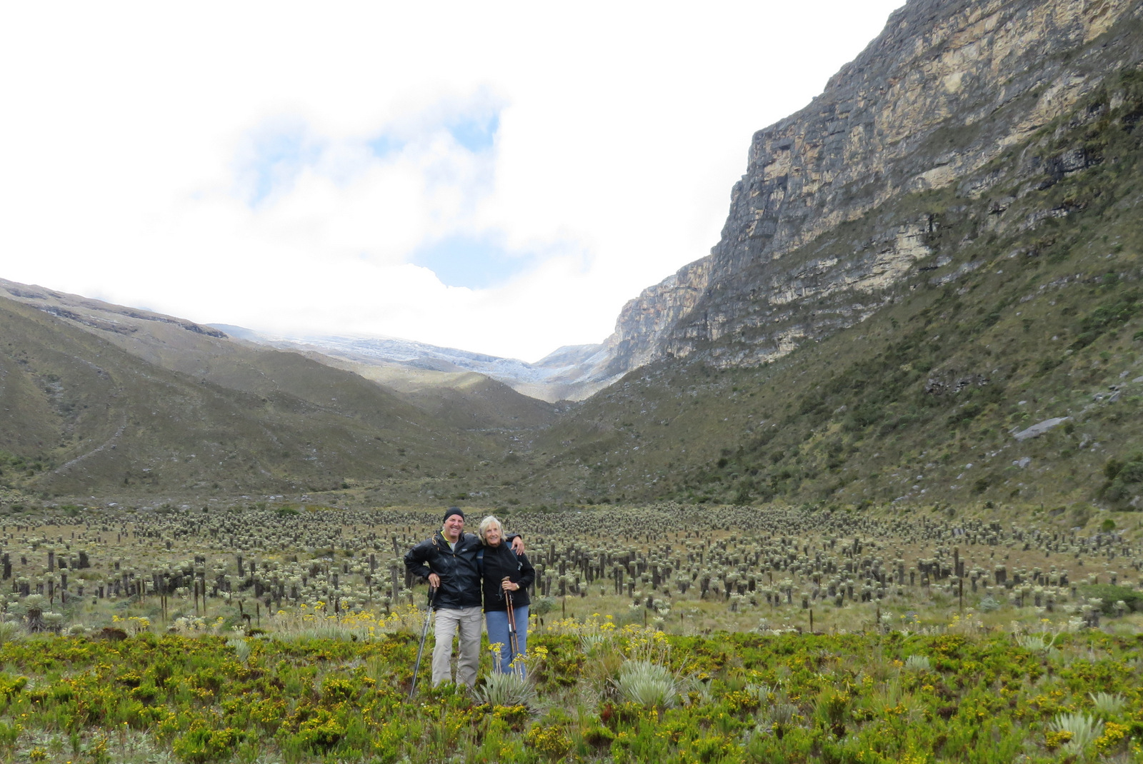
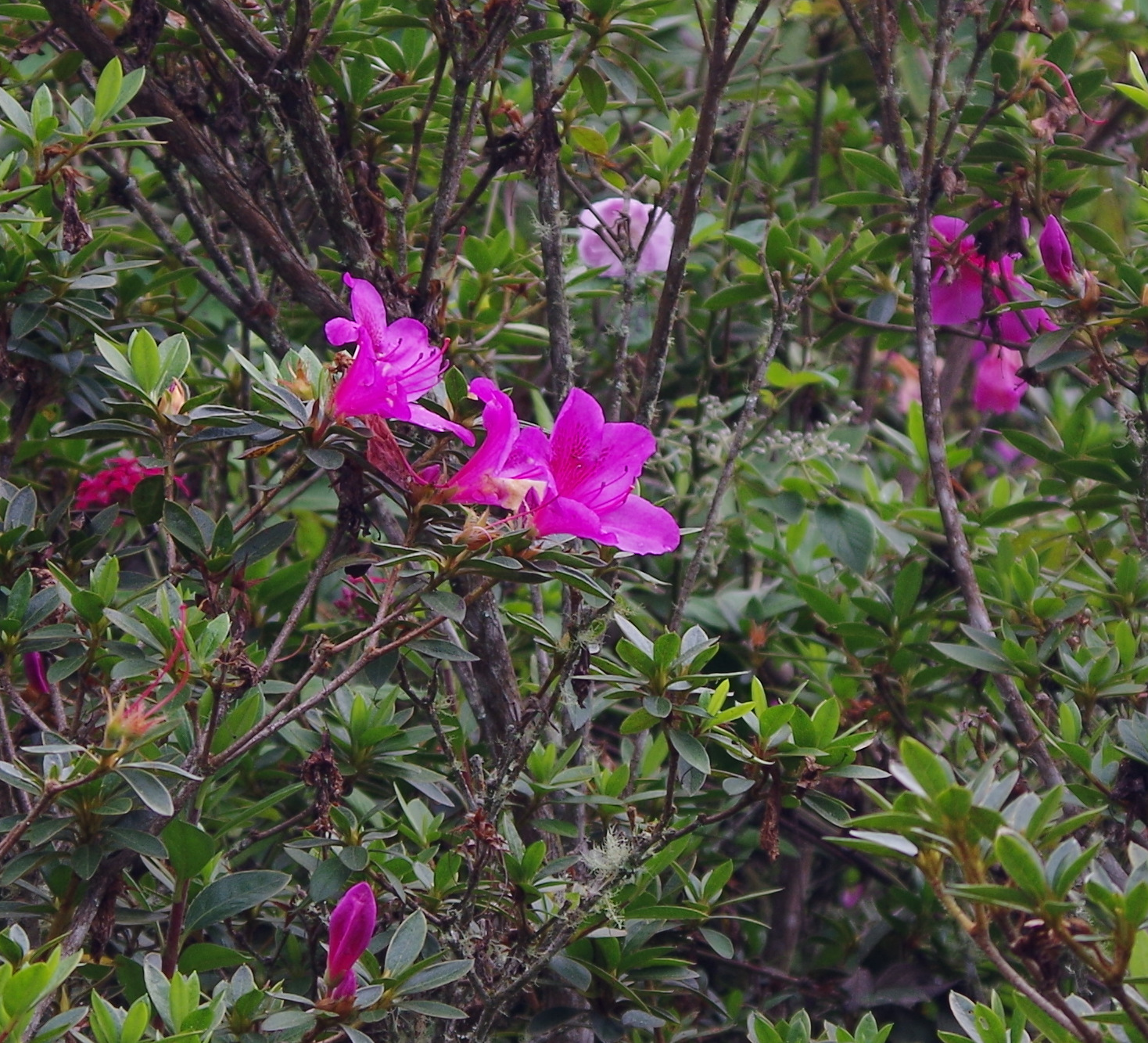
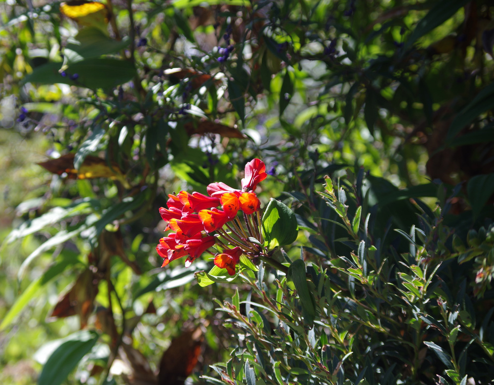
The top of Irazu was clear and we hiked from the parking lot to the highest point at 3432 meters. There were beautiful flowering vines and bushes lining the trail and we decided to have a picnic on top of the volcano.
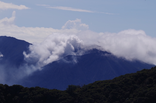
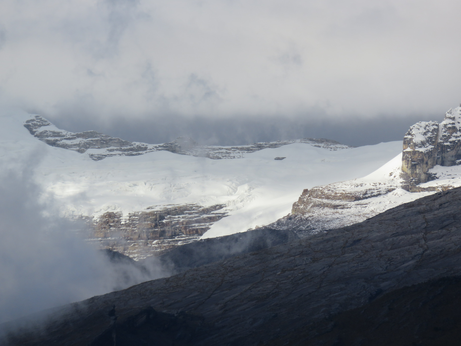
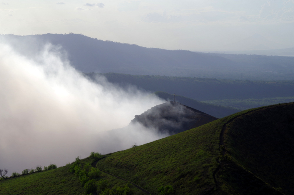
Volcano Turrialba is busy.

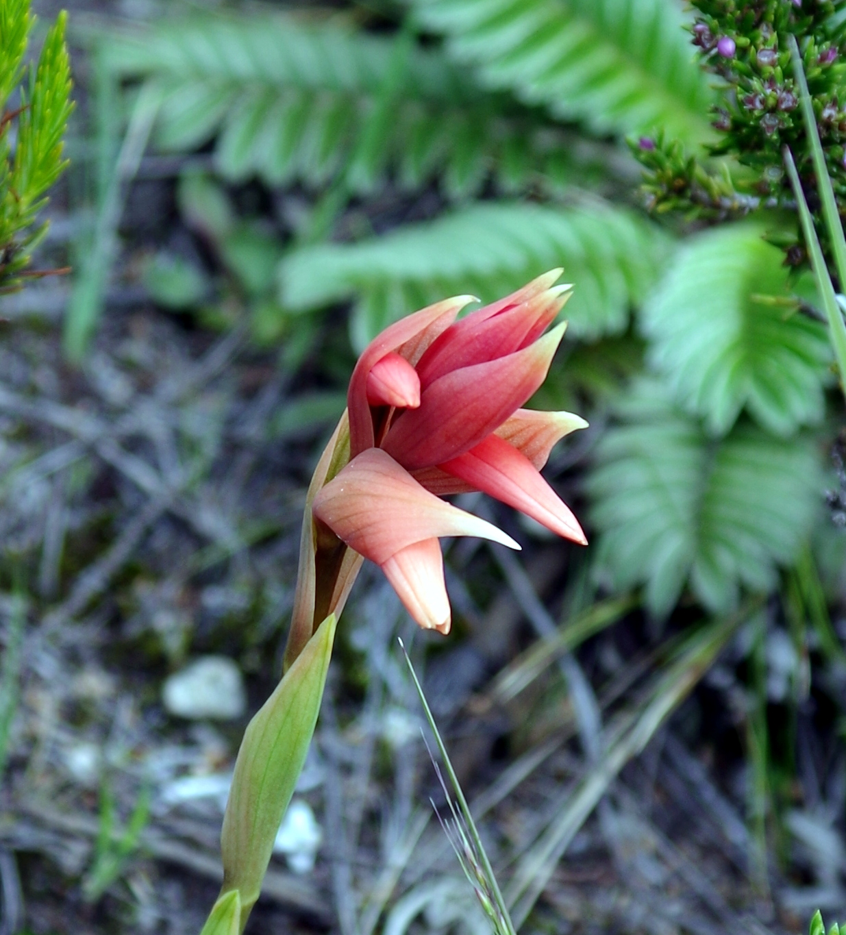
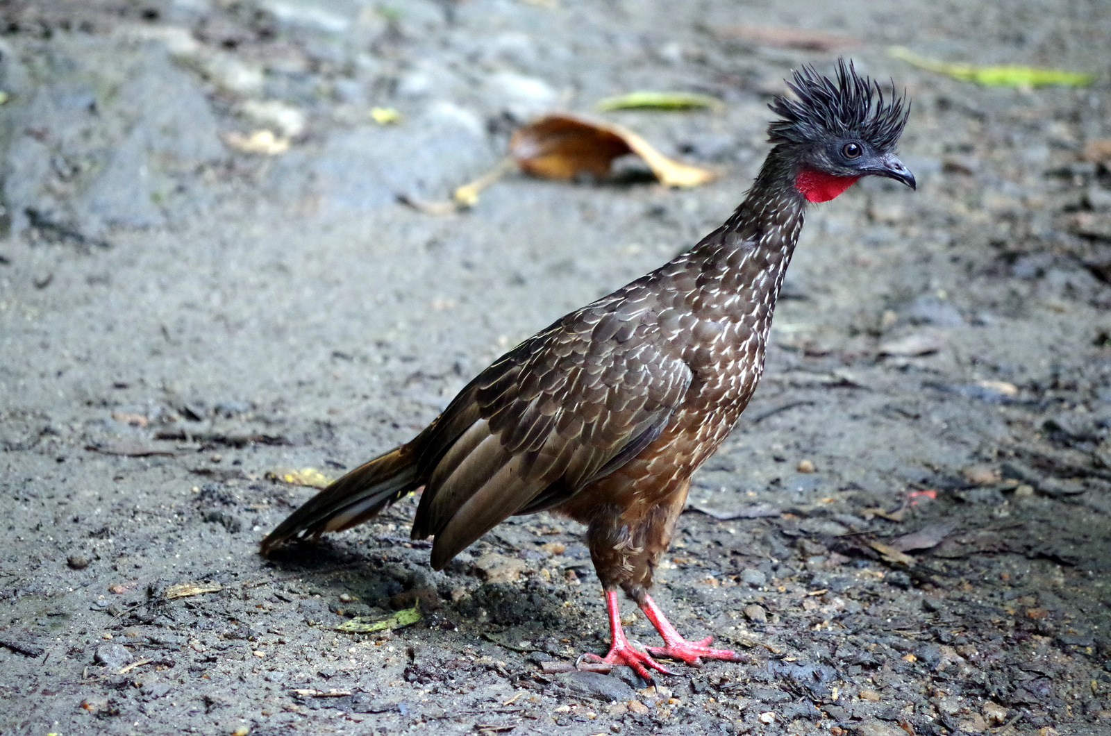
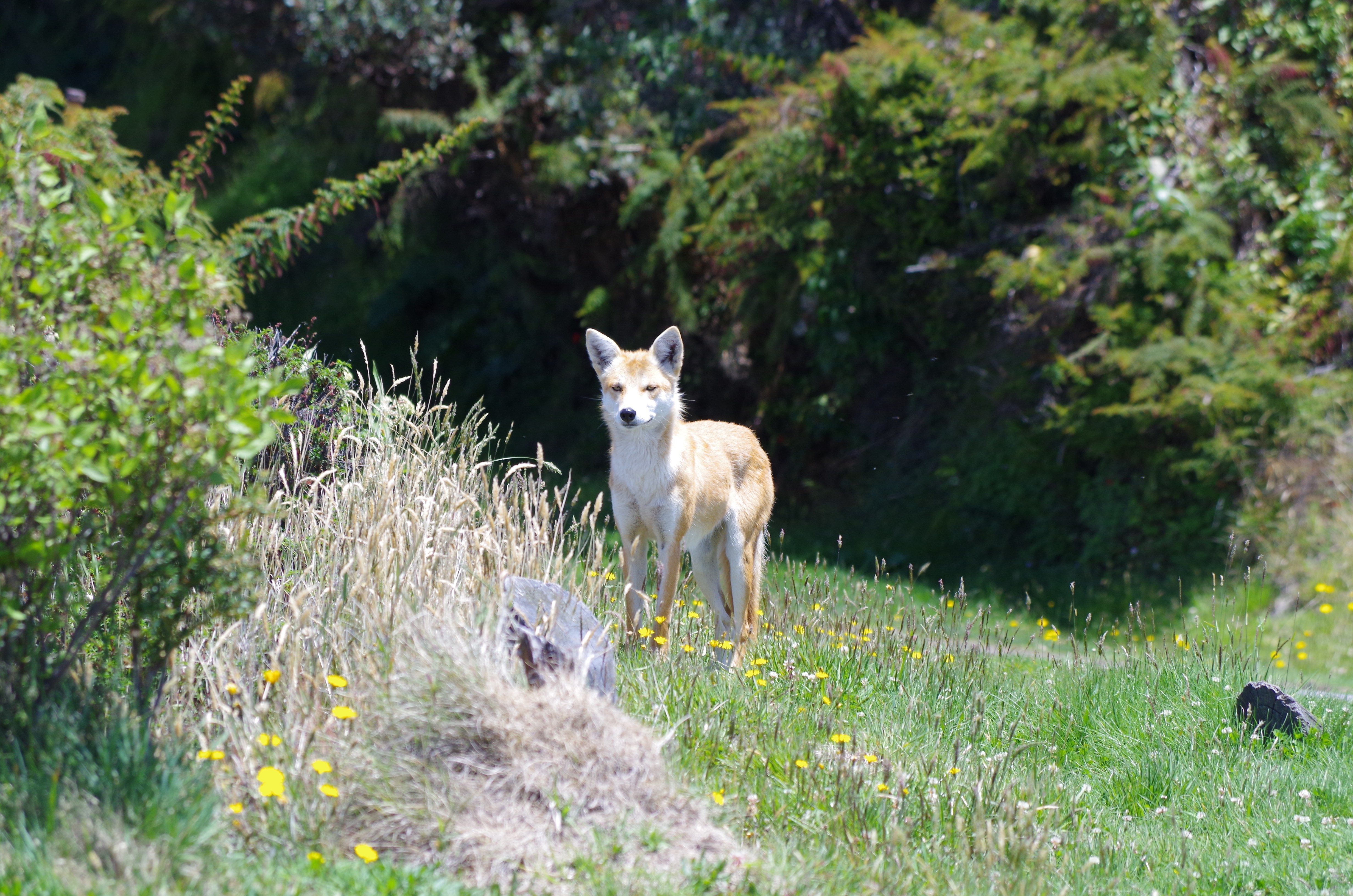
A red coyote on the summit of Irazu
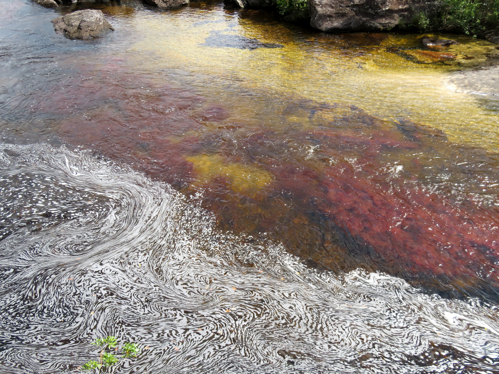
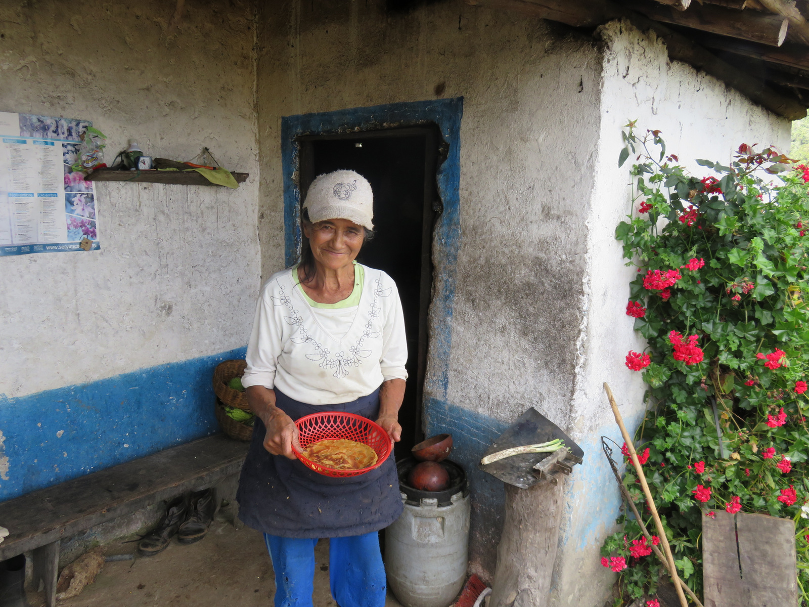
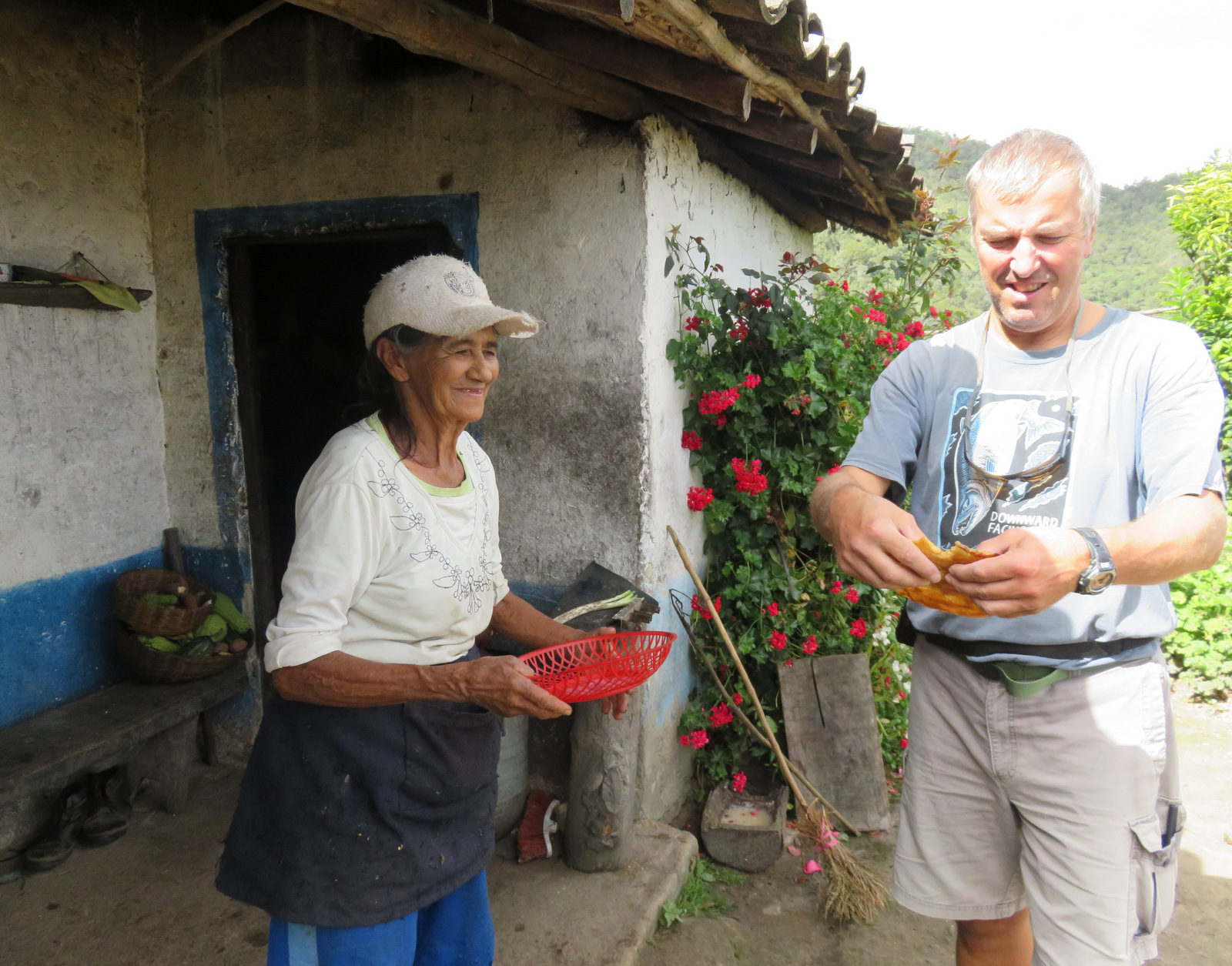
At that altitude it is cool and Anita mentioned that she had thought it would be much warmer in Costa Rica. So we decided to show her the jungle and some heat. We drove to the Sarapiqui region, in Puerto Viejo de Sarapiqui we sat in front of a Soda, had a milk shake and watched the street life. The kind of tourists that comes to this region seem to be baby boomers (yes I am one too), clad in brand new safari clothing with binoculars around their neck. They are mostly from North America. The wilderness lodges on private jungle reserves cater to them. If you want to even take a short walk in those wilderness and jungle areas you have to pay a hefty entrance fee. $ 30 for a self guided one hour walk and up to $ 185 for a guided bird watching tour we were quoted at one reserve. Everything is fenced off and gated.Then there are the river runners that raft or paddle down the Sarapiqui river, no sun seekers or surfer around here.
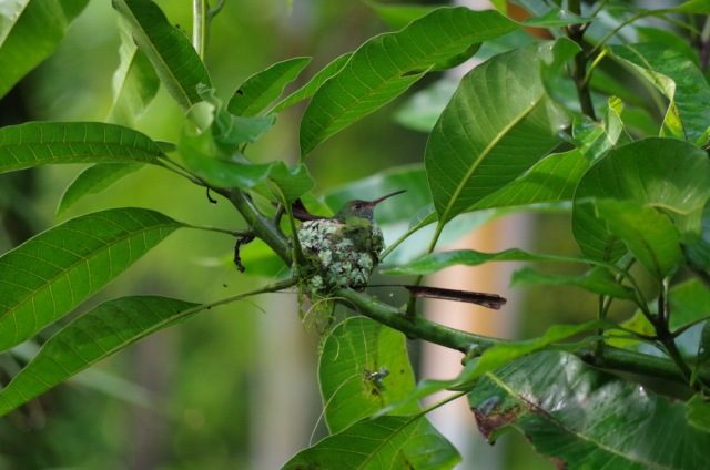
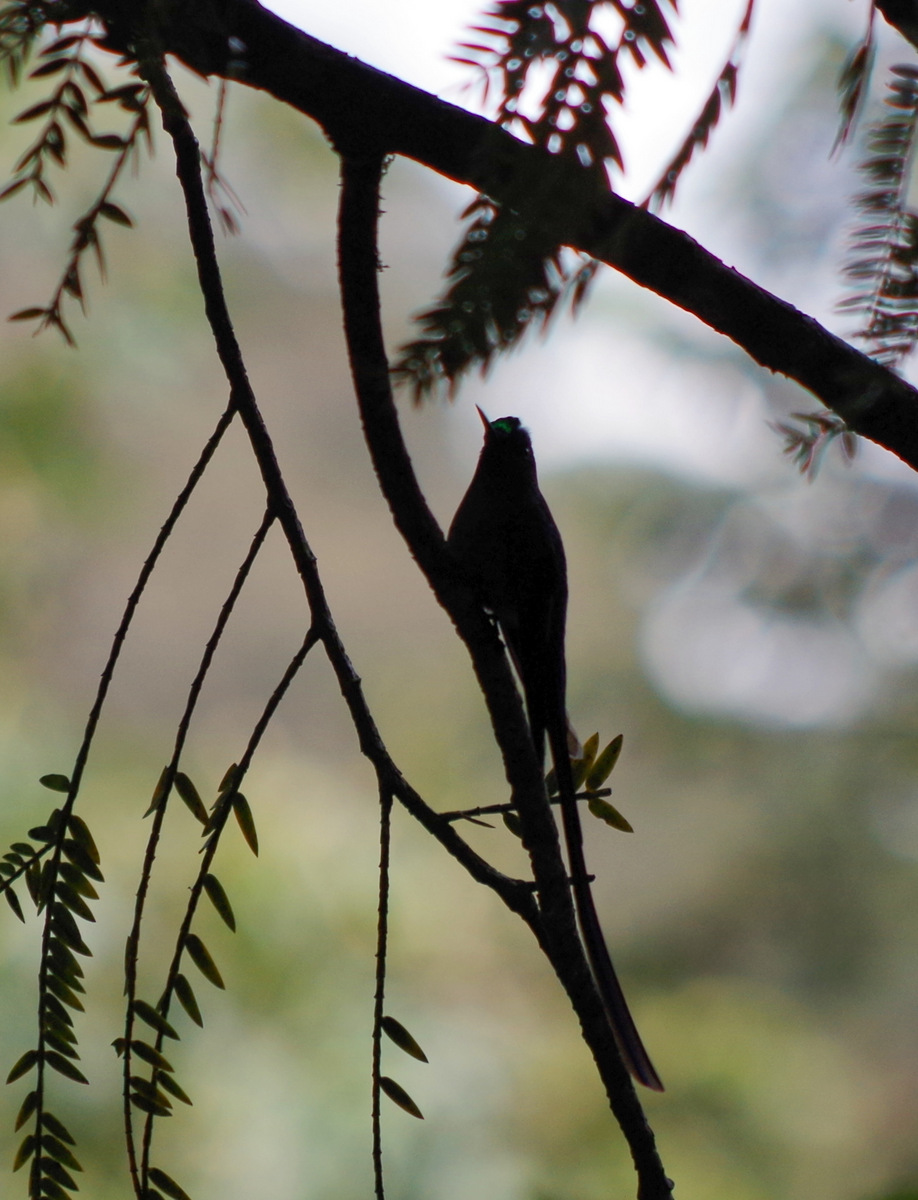
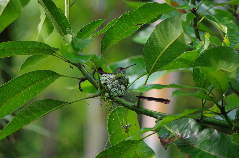
Colibri Hummingbird sitting on eggs.
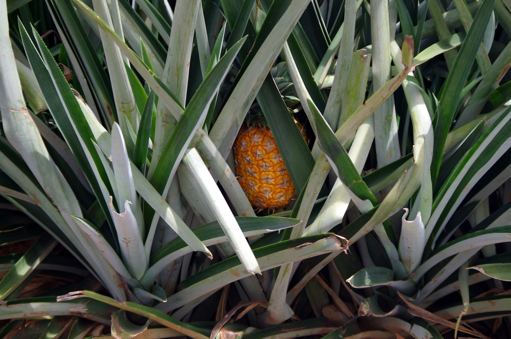
This is also a pineapple/banana/heart of palm growing area and we bought all three from a vendor. Fresh heart of palm is very good and now one of my favorite vegetables, hard to find though unless you live in the area. It is very tropical, hot and humid in the jungle and we camped beside the river for one night, in the yard of a very nice young couple that offers rafting excursions. On the other side of the river is one of the private reserves, so you get some wildlife overflow across the river for free. It rained that night, we saw a tiny red frog enjoying more rain, Anita had a good taste of the jungle I think.

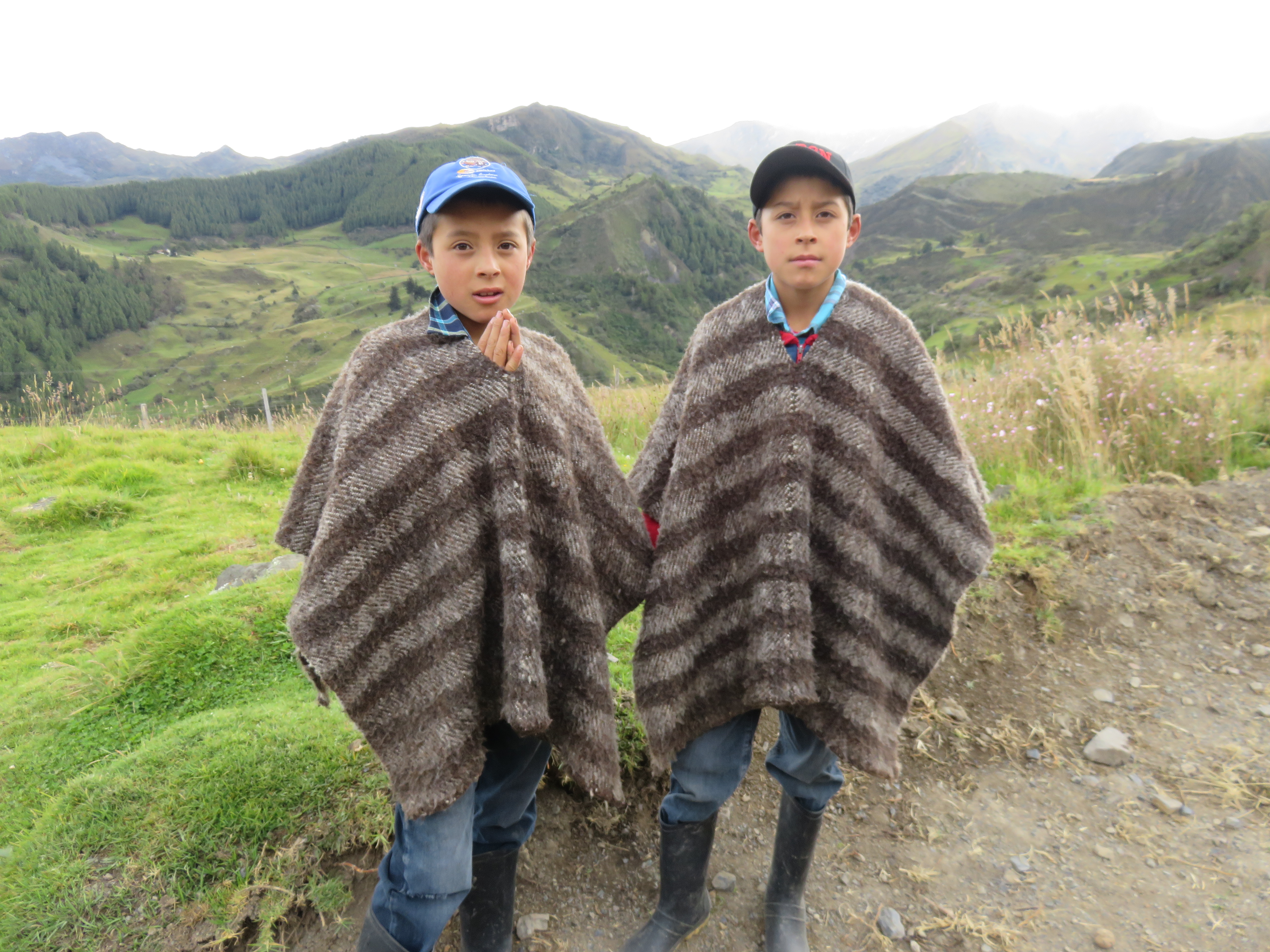
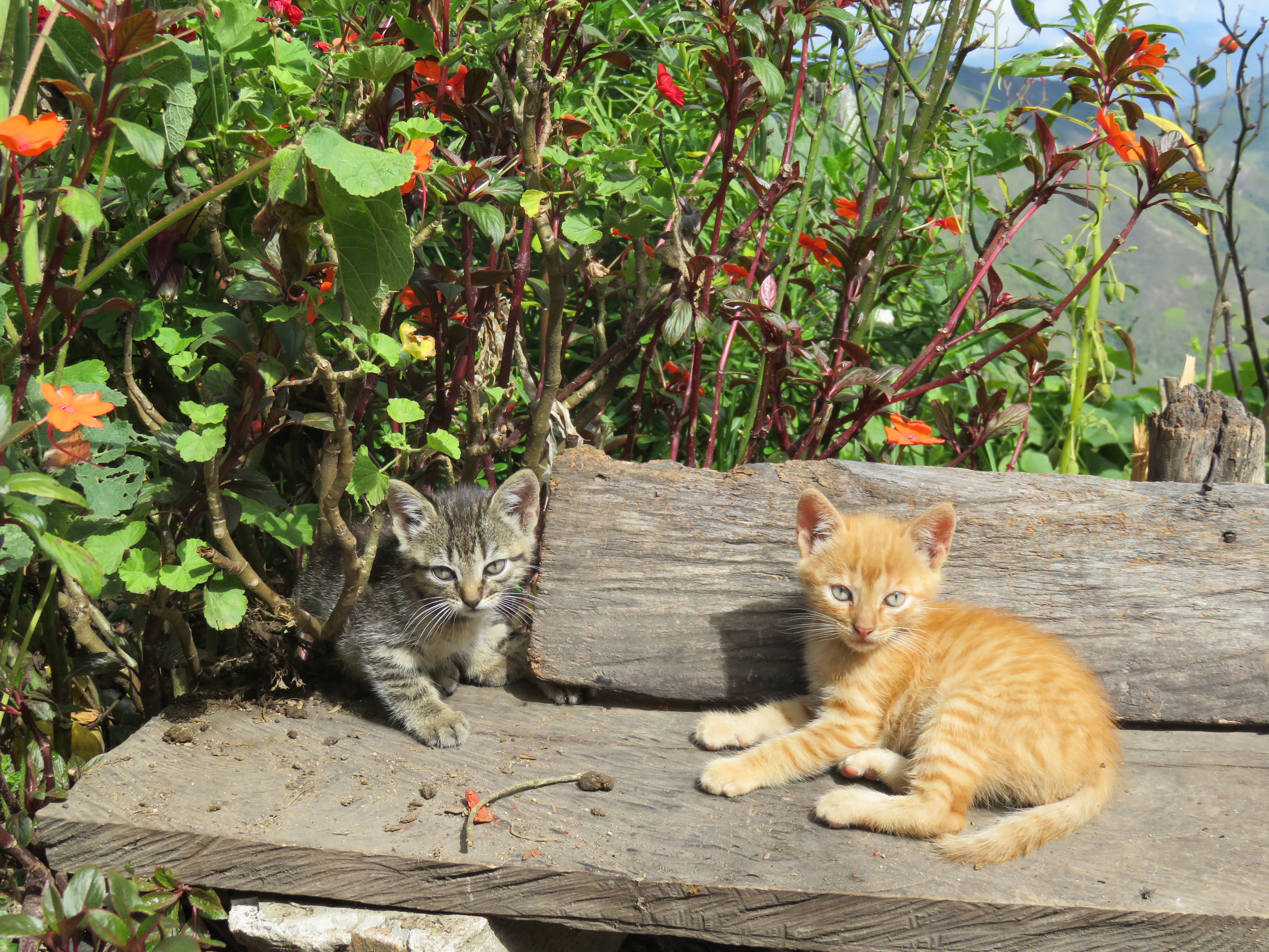
Siblings
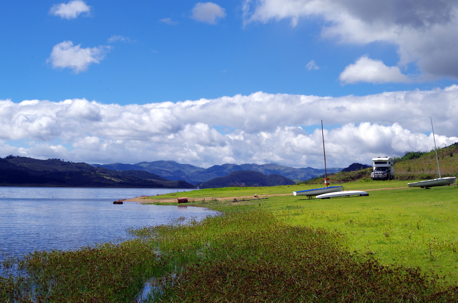
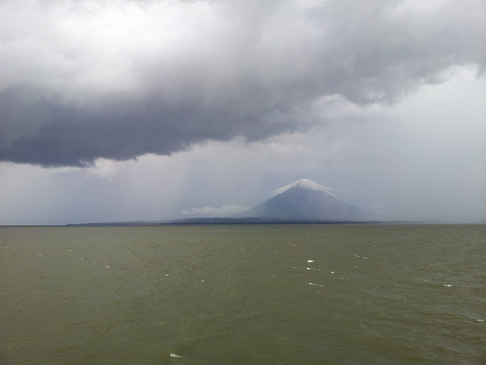
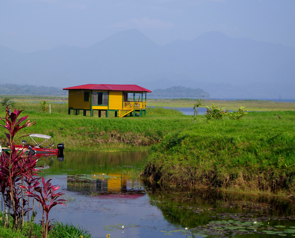
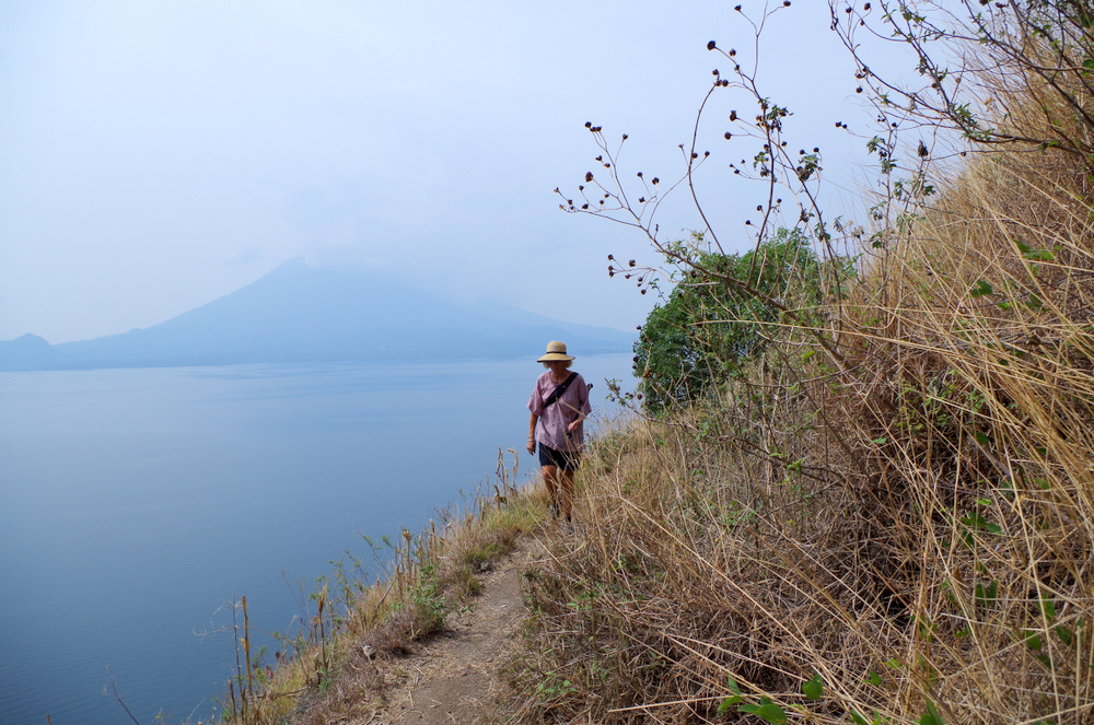
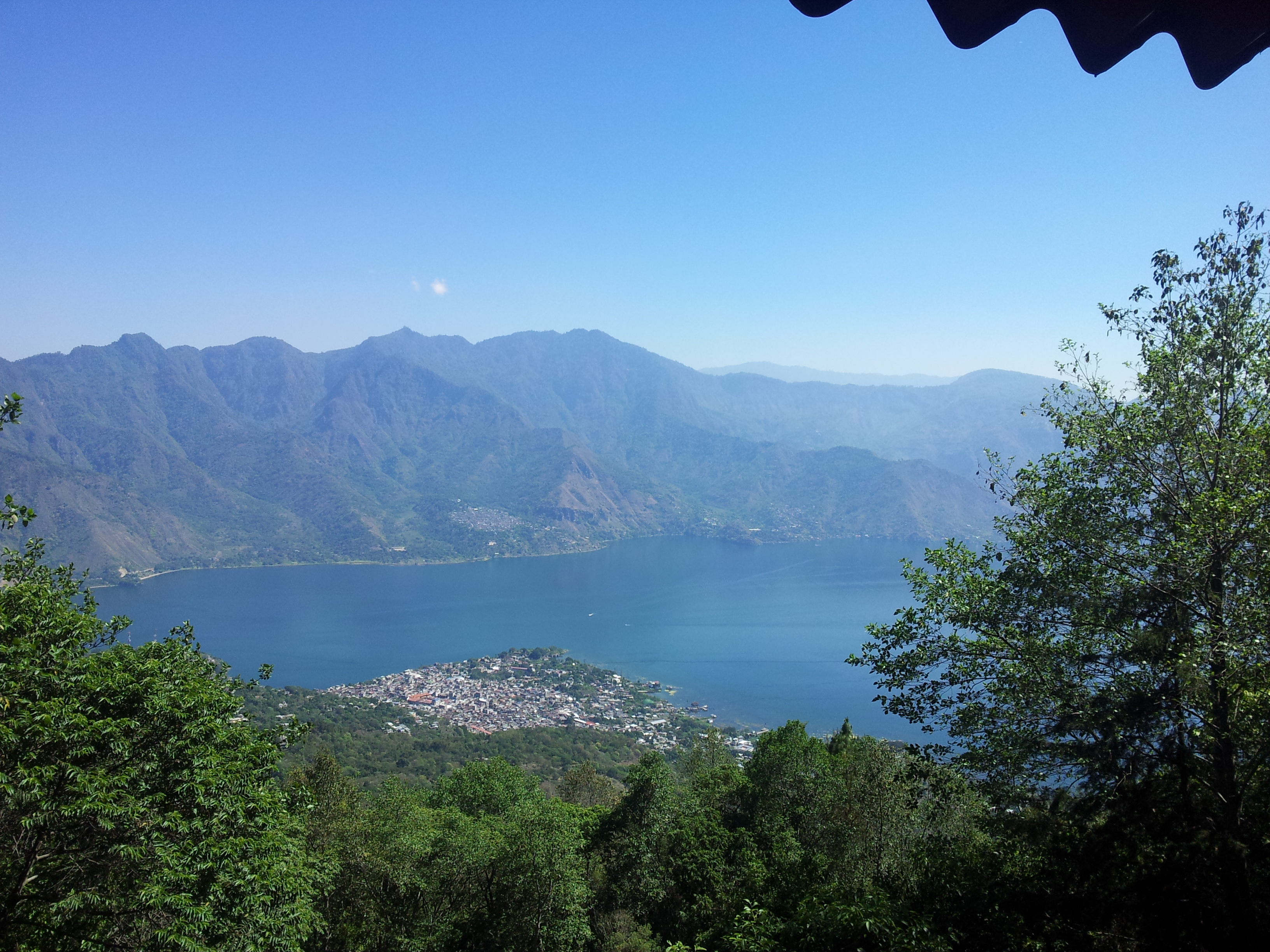
Lake Arenal was next, we had stayed there before and headed straight for the German Bakery and Thomas, the owner, who is originally from Waltenhofen/Allgäu. The lake is beautiful and shores are not very populated, in fact, there are no houses along the lake. The utility company that provides everybody with power owns the lake (and the dam?) and fenced it off. So there is very limited access to the lake. One of the access points open to the public is in Nuevo Arenal (the original town is under water) and the town is nice enough to let people camp there. We never saw the volcano, the weather was stormy.

Hanging out with Thomas at the German Bakery in Nuevo Arenal.
The secret at the brewery at lake Arenal.
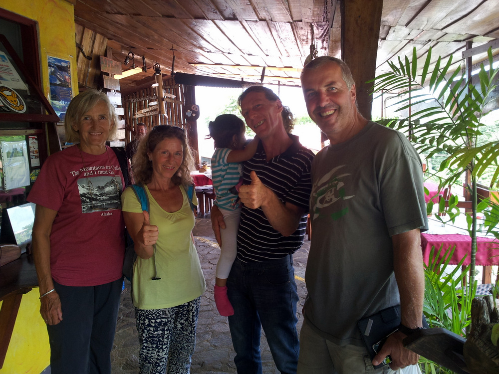
Here Carrie and Colin ( www.wakethedeaddiaries.com) showed up in the evening and we all decided to go have a real Bavarian breakfast at the German Bakery the next morning. Weisswurst, Brezen (Pretzel) and a Weizenbier at 11 am! Yes, we did that and we had a great time. Carrie and Colin: We will repeat that in South America next year!
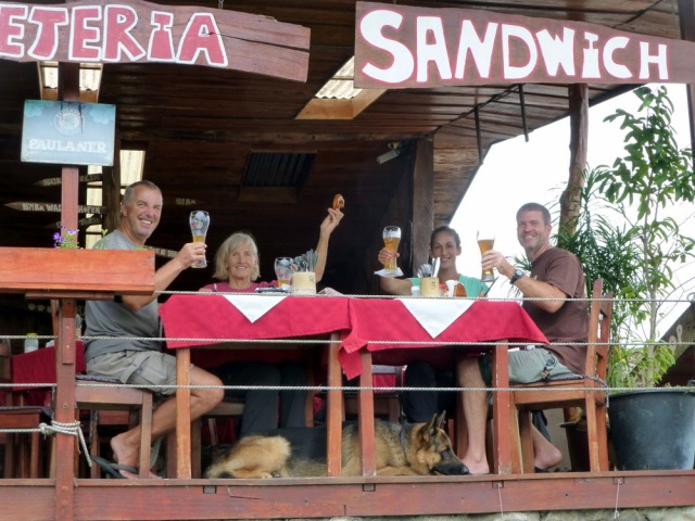
Bavarian breakfast with Karrie and Colin
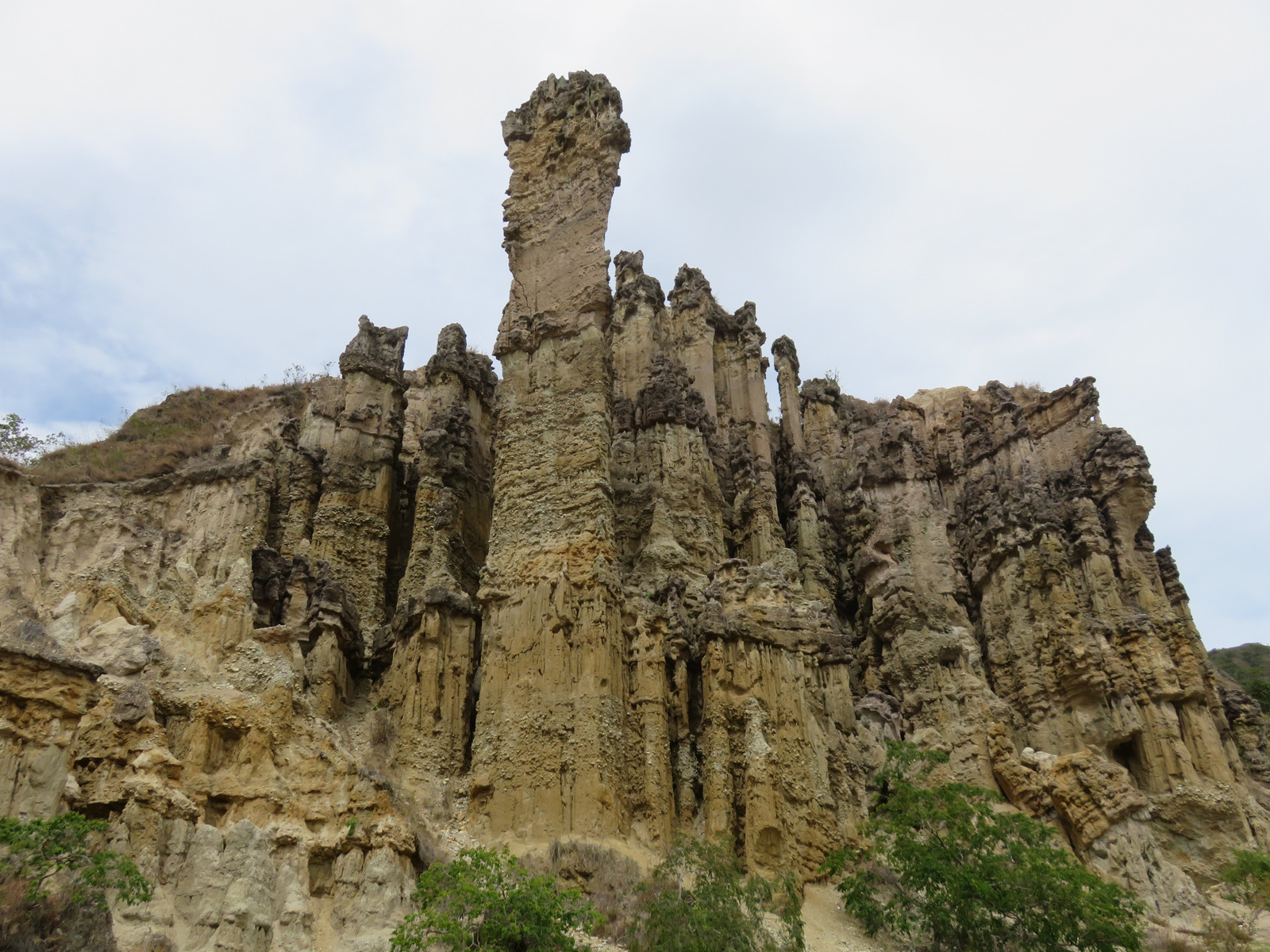
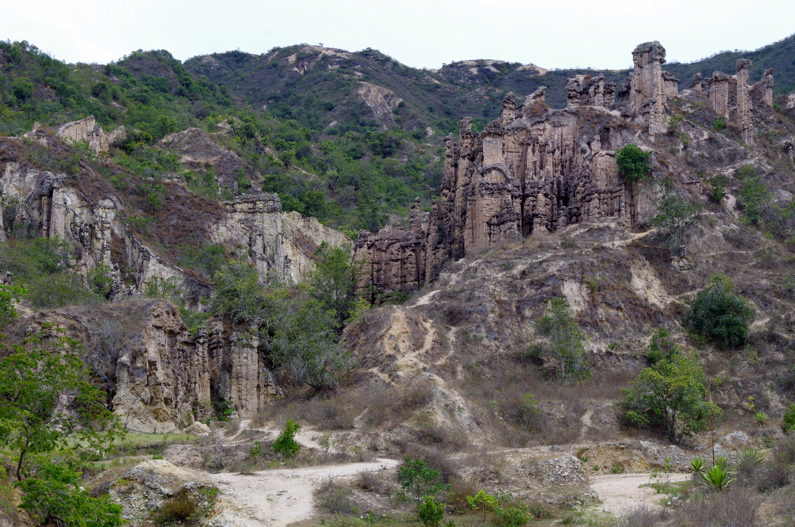
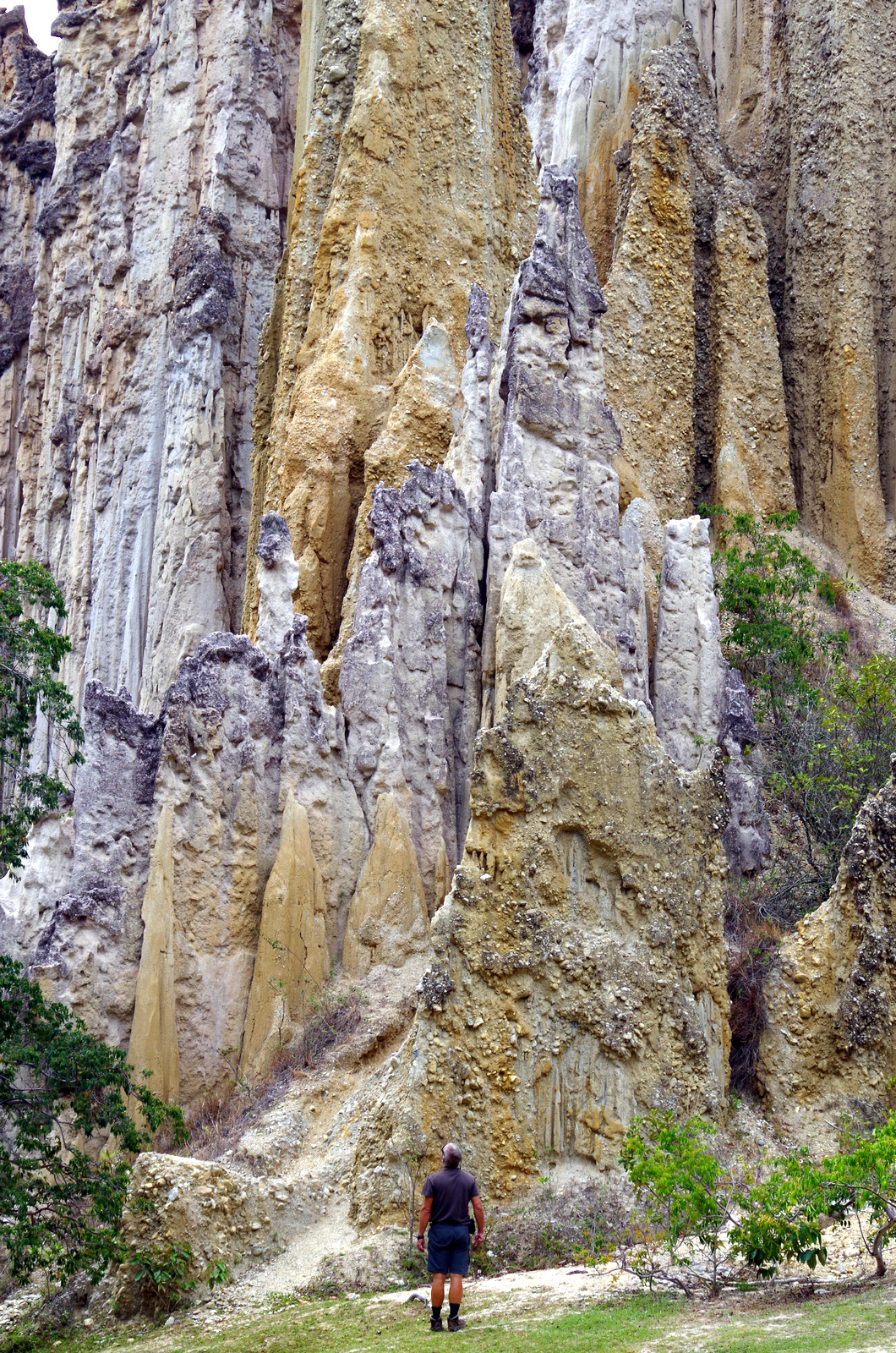
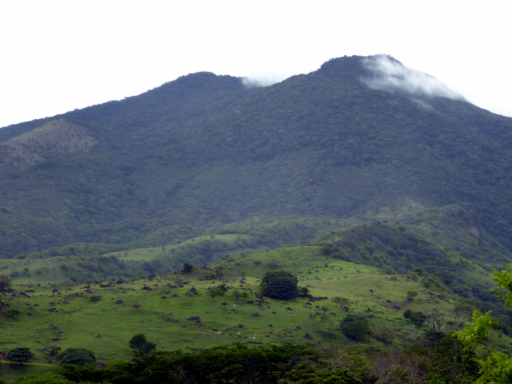
Volcano Miravalle is not a National Park and unless you take a guide you cannot hike there or summit it. The trail is overgrown and the forest harbors poisonous snakes and other nasty critters.

Volcano Miravalles

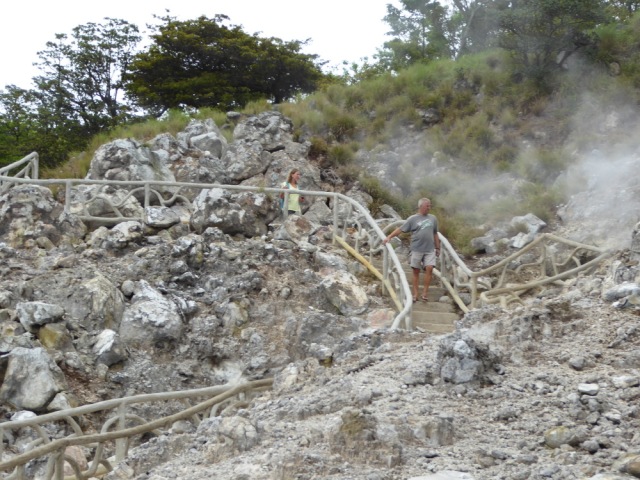
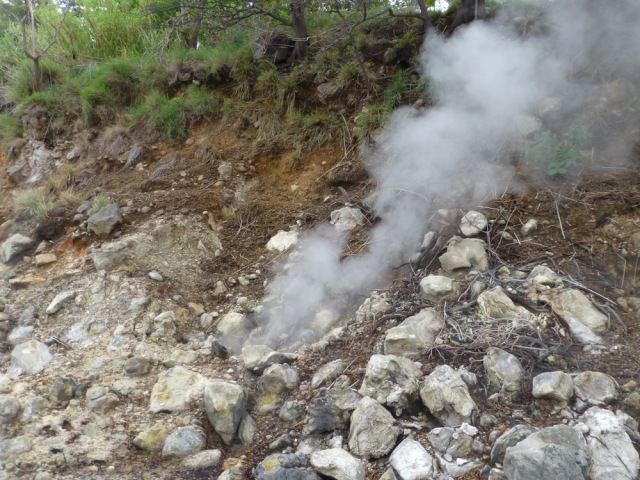
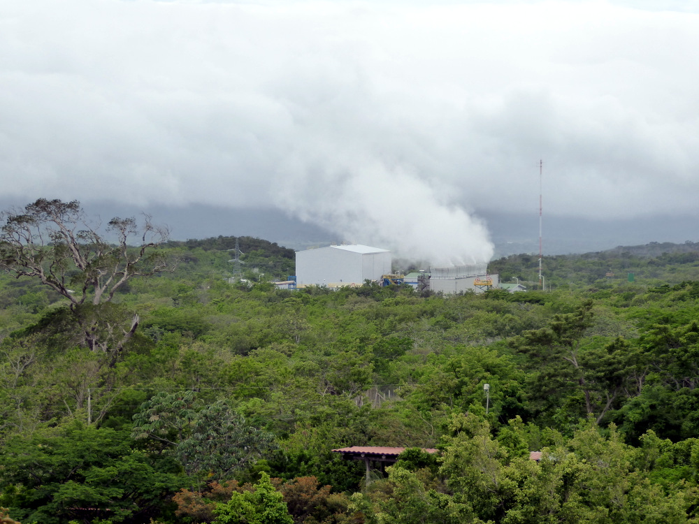
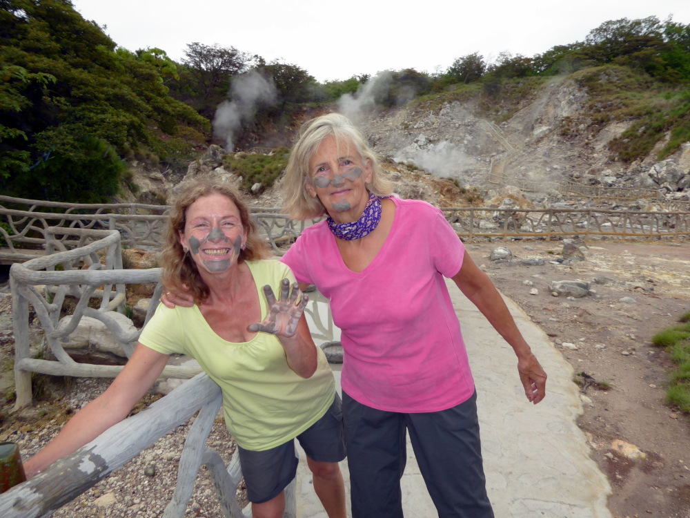
There is a geothermal power plant on its flanks , one can drive up past that plant to a place where the hot sulphur mud bubbles out of the ground. Las Hornillas charges you to walk around the place and if you want you can take a mud bath.
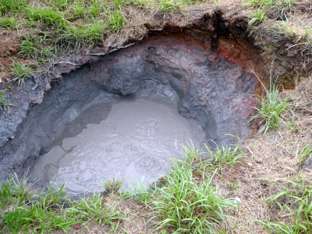
Hot mud.

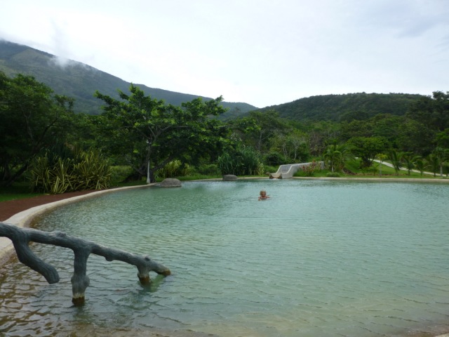
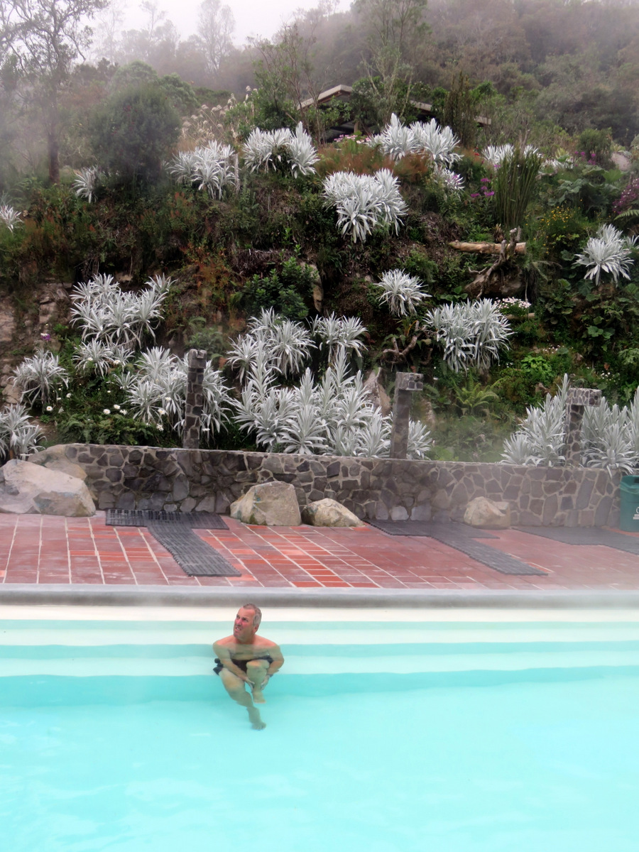
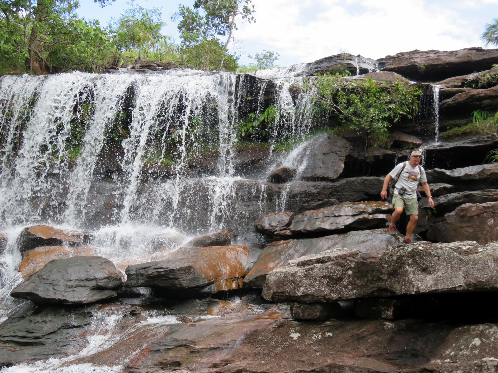
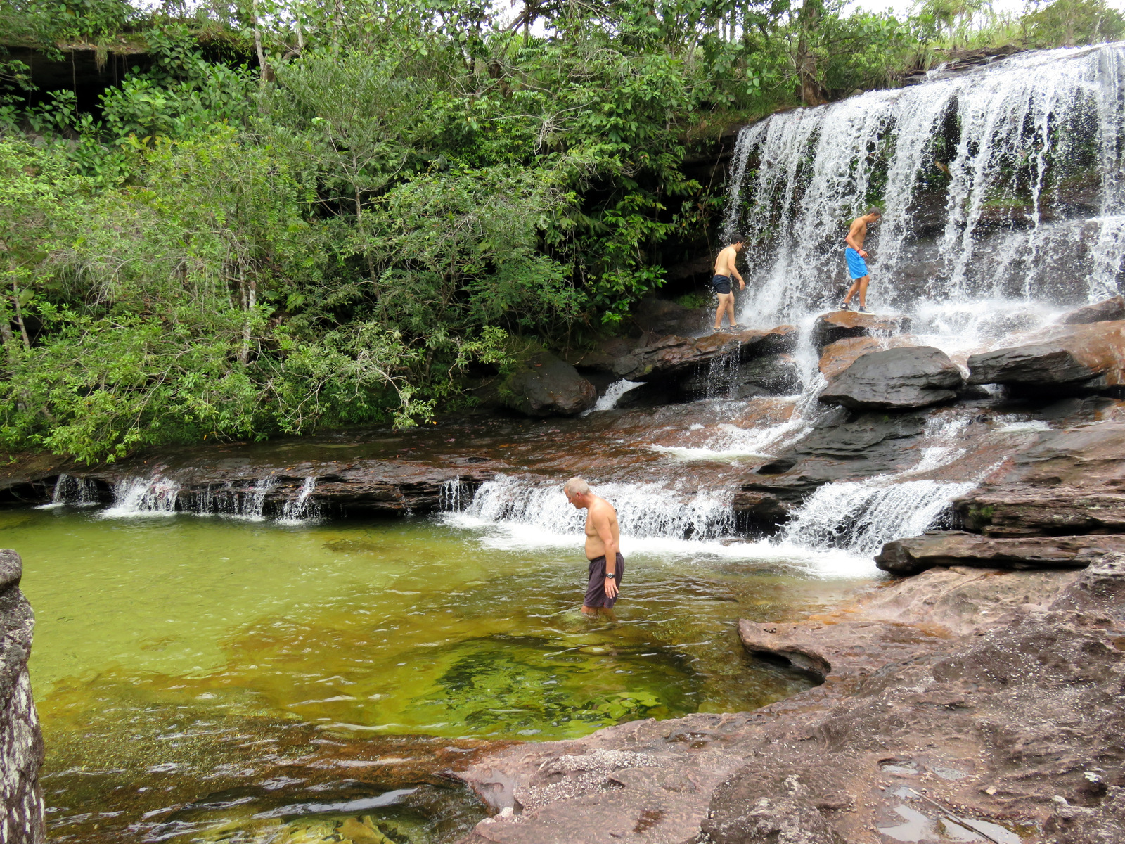
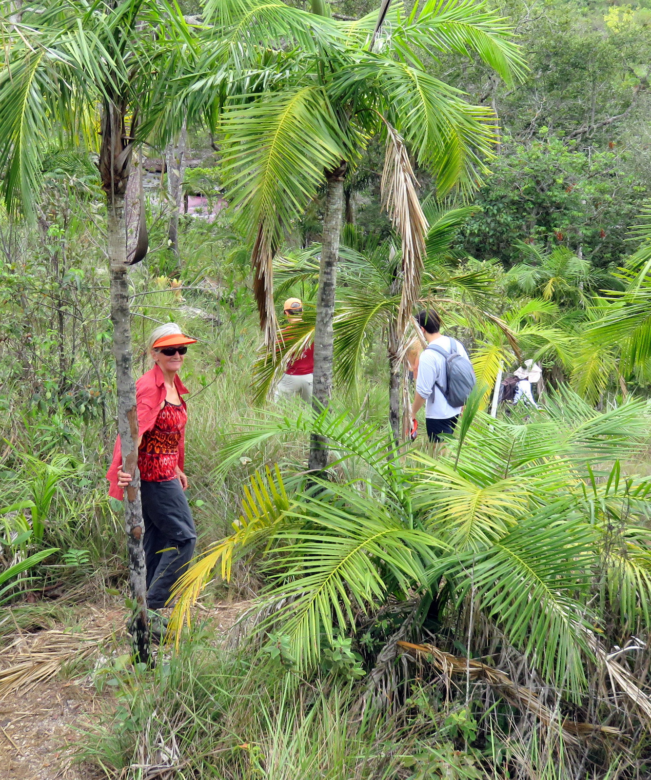
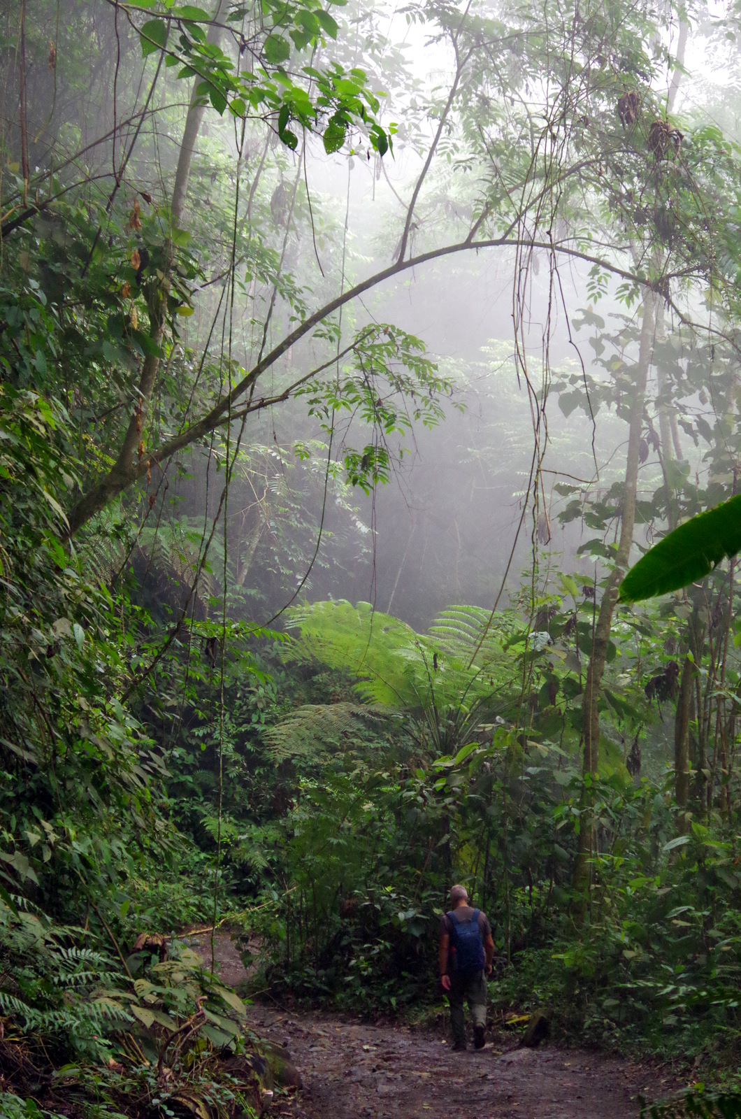
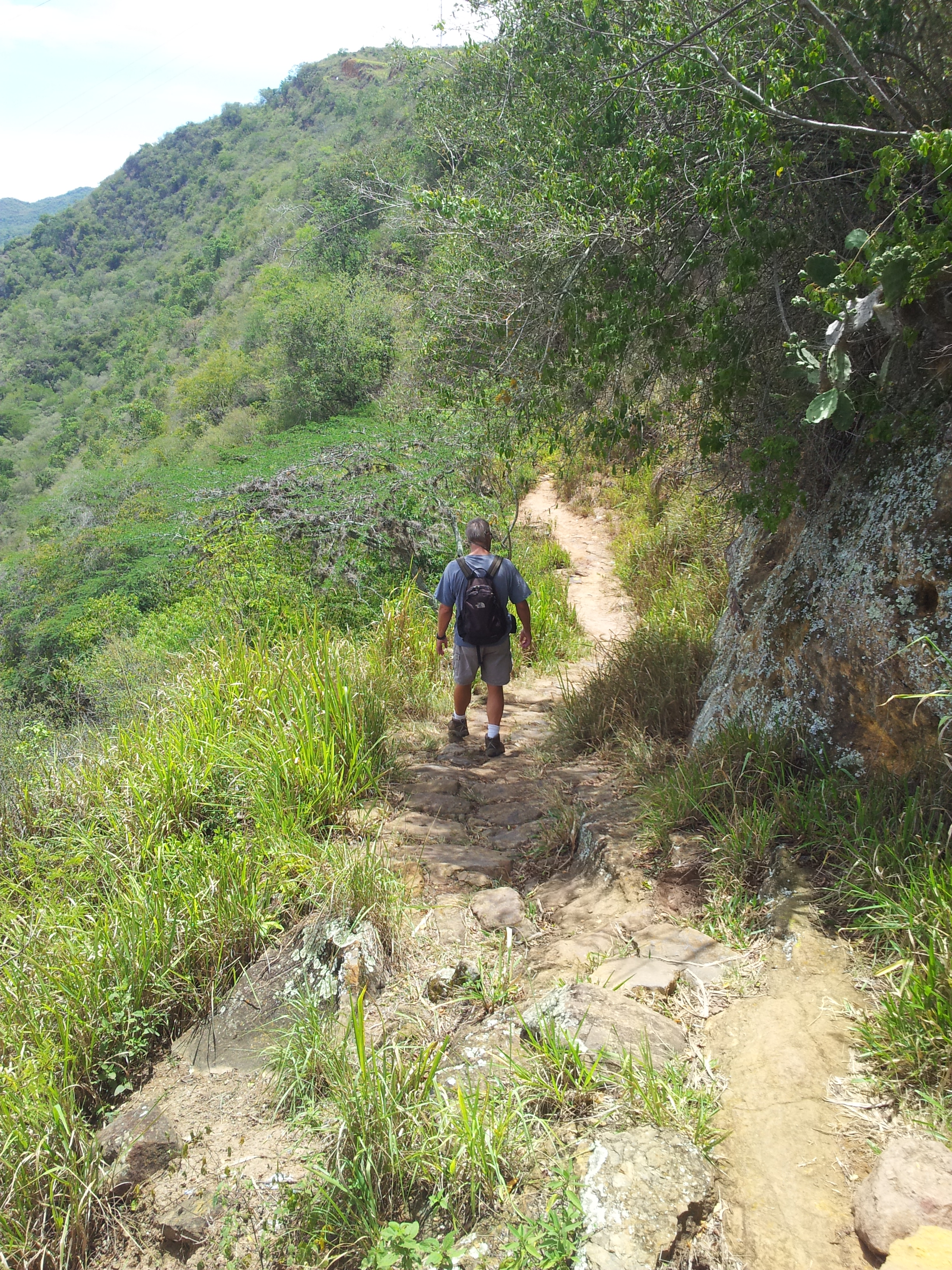
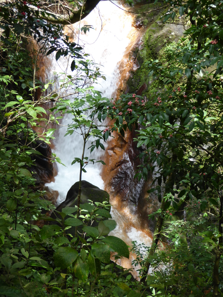
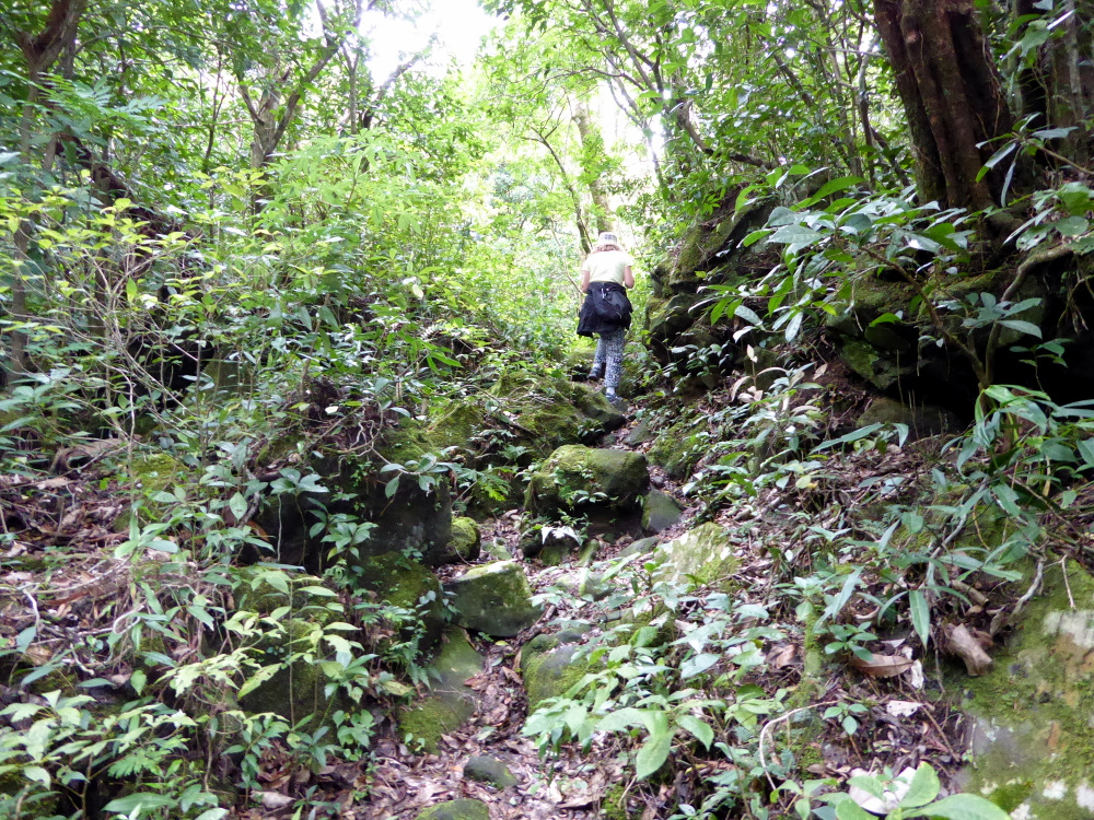
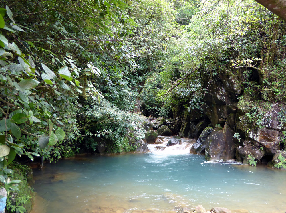
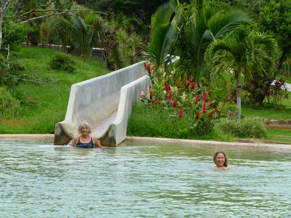
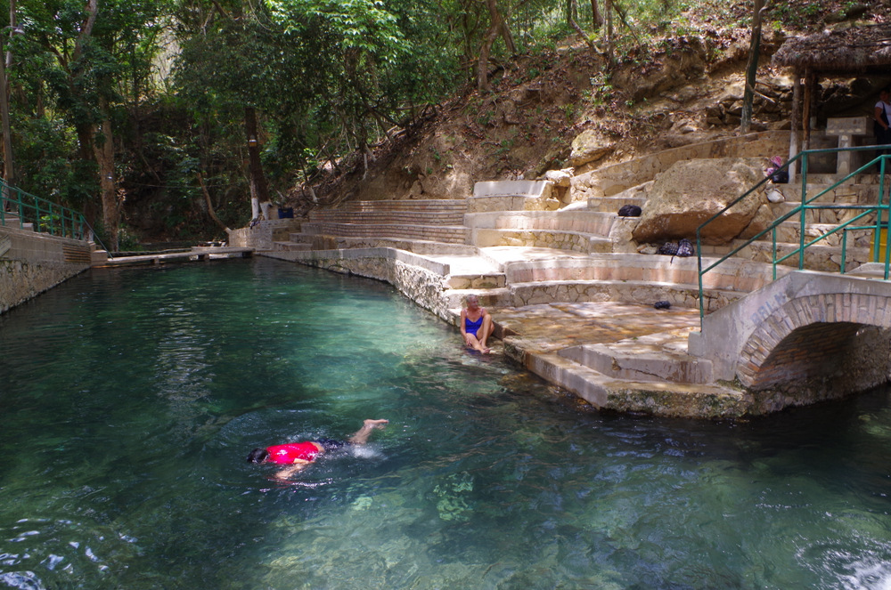
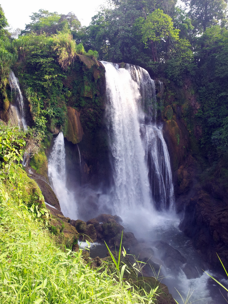
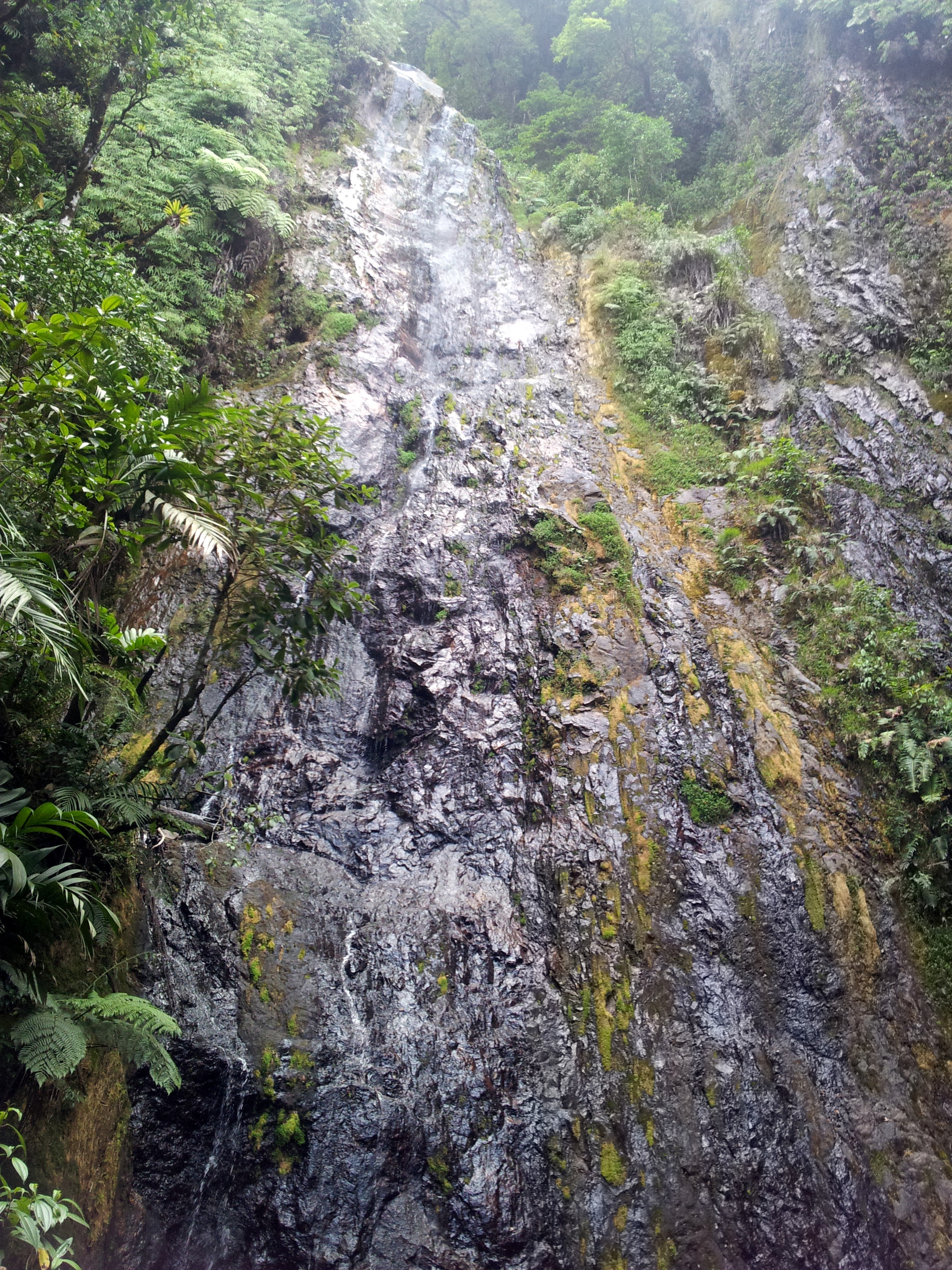
We drove farther up until the road actually terminated on top of a waterfall. There was a trail, not well maintained but flagged, so we followed it and hiked up into the jungle. It was a beautiful hike along a stream with lots of blooming jungle plants. We turned around when we lost the trail and could not find any flags anymore. That night we spent at a hot spring with a pool not far from there, sat in the hot water after sunset, watched the glow worms in the trees and the starry sky.


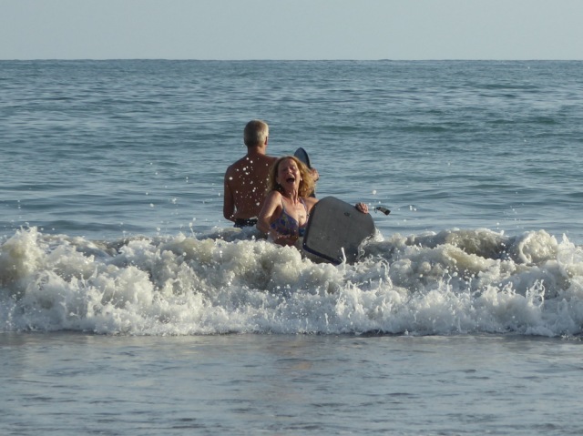
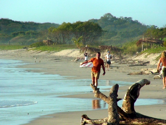
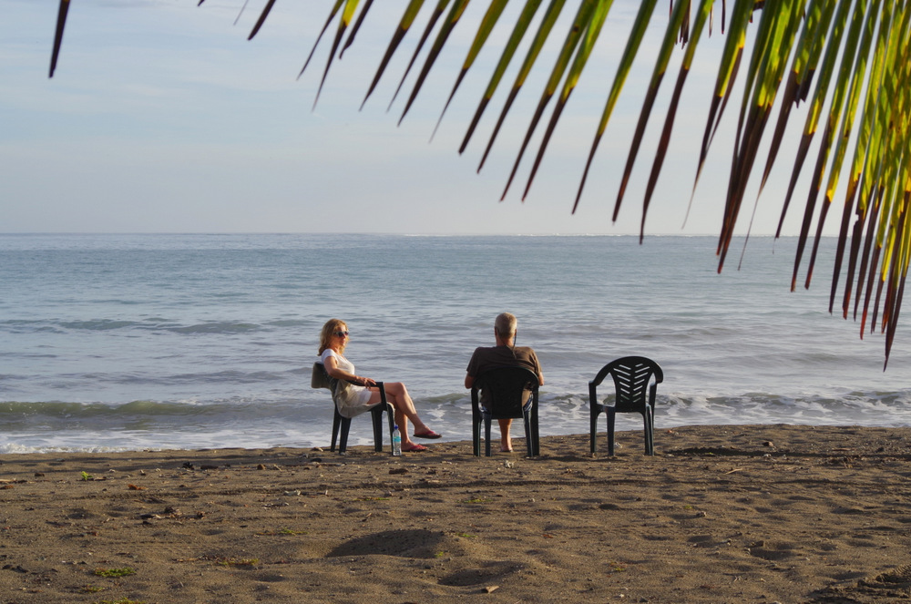
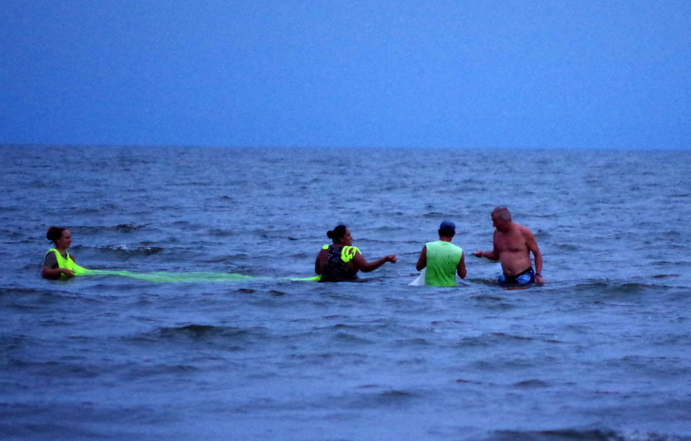
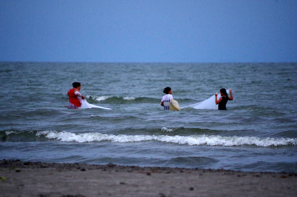
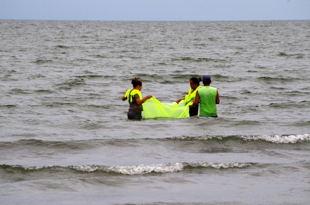
Since Anita was dying to vacation on the beach, she was hoping for sand, surf and sun. After we floated down the Coribici River we drove out to Playa Granda on the Nicoya Peninsula.
Thermal Springs Volcano Miravalles:

A thermal spring where we camped.
Nobody here during the week…..
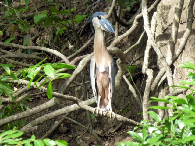
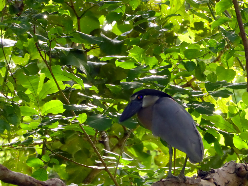
Boat-billed Heron

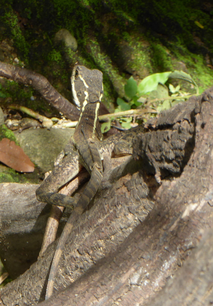
Baselisk

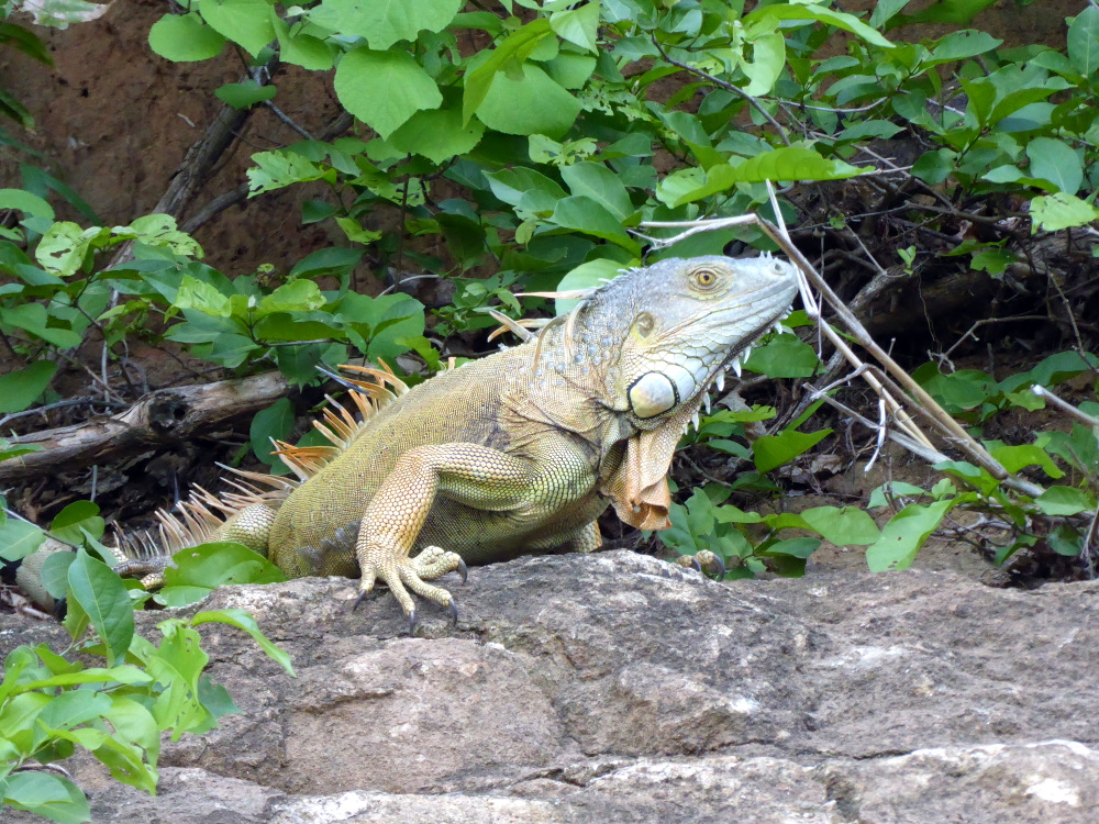
Iguana

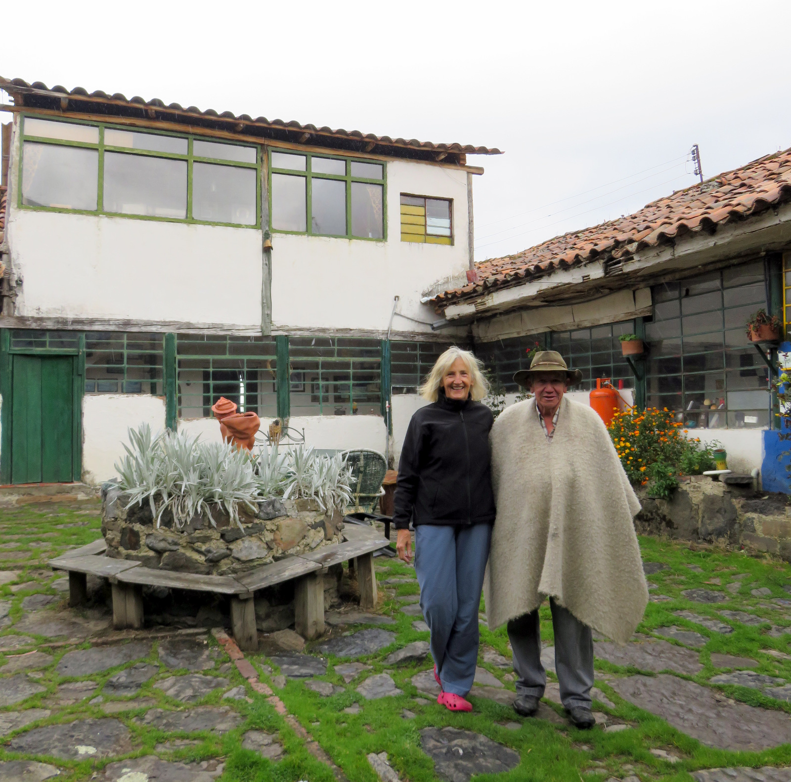
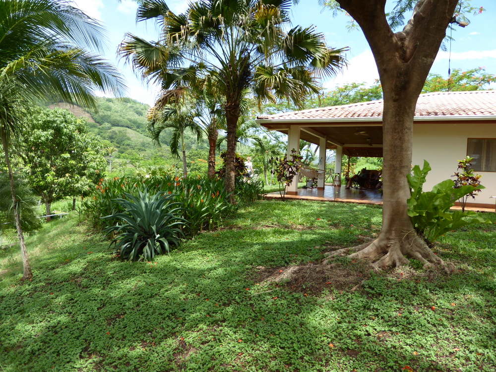
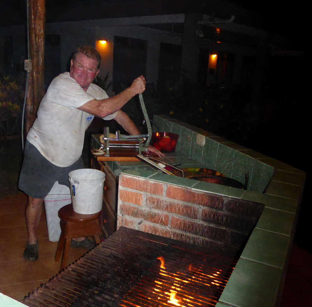
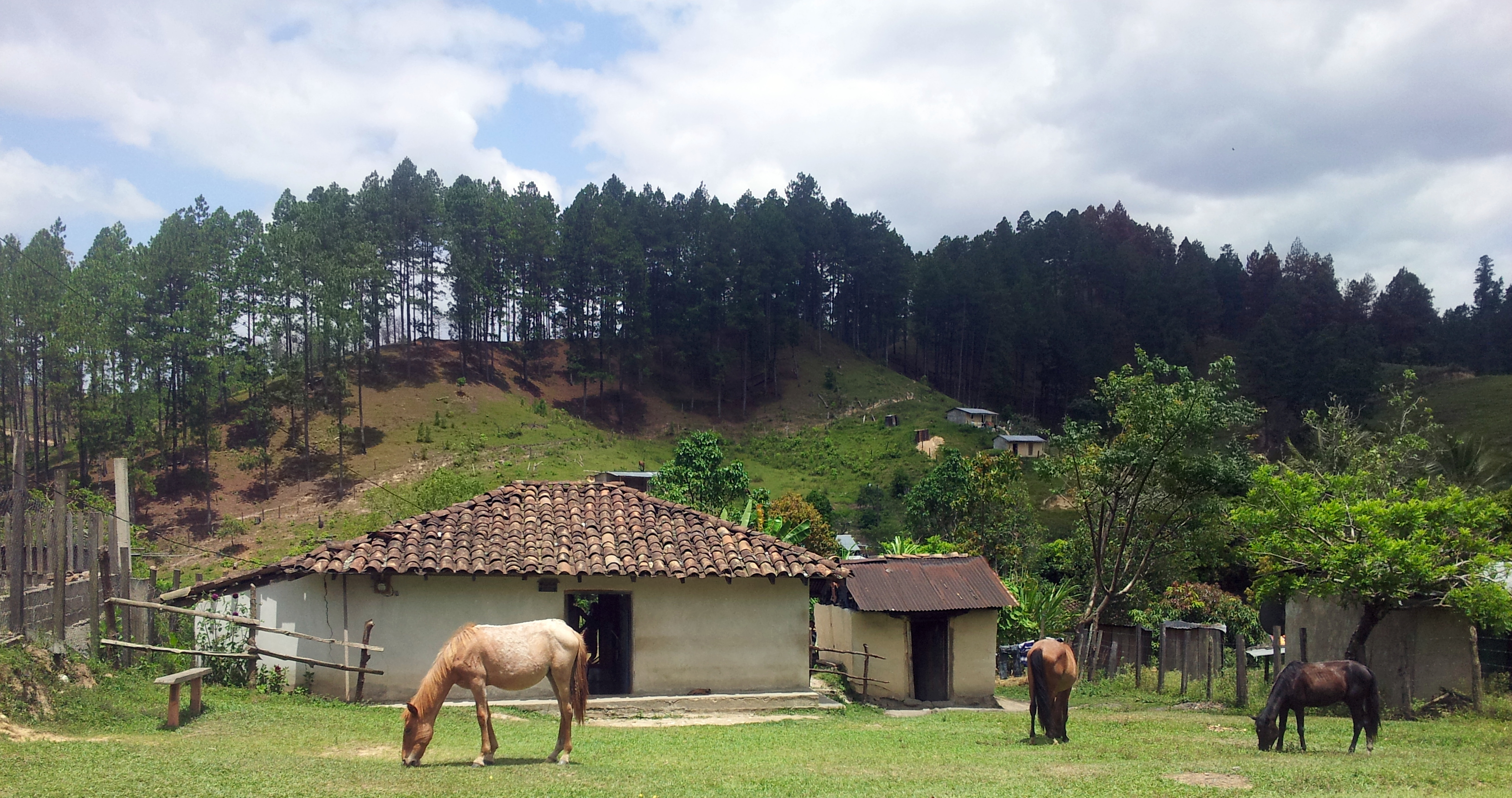
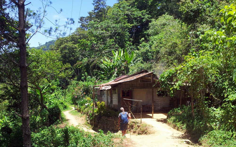
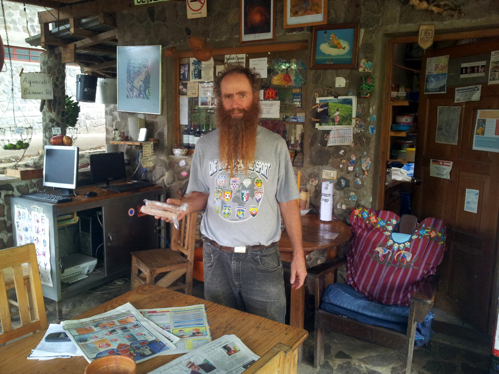
There are several places to “wild” camp right on the beach there, we picked one (Playa Grande) and had a miserable night with two fans blowing very warm air at us. The beach was beautiful, but after a long pre-sunrise walk we dreaded the heat and another sweaty night so we left for Samara. We had rented a beach house there, wanted to just lay back and regroup. But we were a day early and the house not ready. We contacted the owner and he was great, invited us to stay at his home up in the mountains behind the coast, in Nosarita Valley. As we followed him in his truck we had no idea where we would end up but he seemed like a great guy (and he was!). His place is a beautiful estate, there are fruit trees, a horse barn, a green house/growing area and he put us up in his guest house. Then he took us up into the mountains where he has a coffee finca. I want to rent that place some day, the spot is very special. Back down in the valley he invited us for dinner and grilled skewers of meat and made REAL pommes frites. What a guy! Brett, if you ever come to Alaska, we will take you out on the boat and cook you a fish!

Guest house at Brett place.

Looking down to Nosarita

Nosarita

Making REAL Belgian “frieten.”


Samara
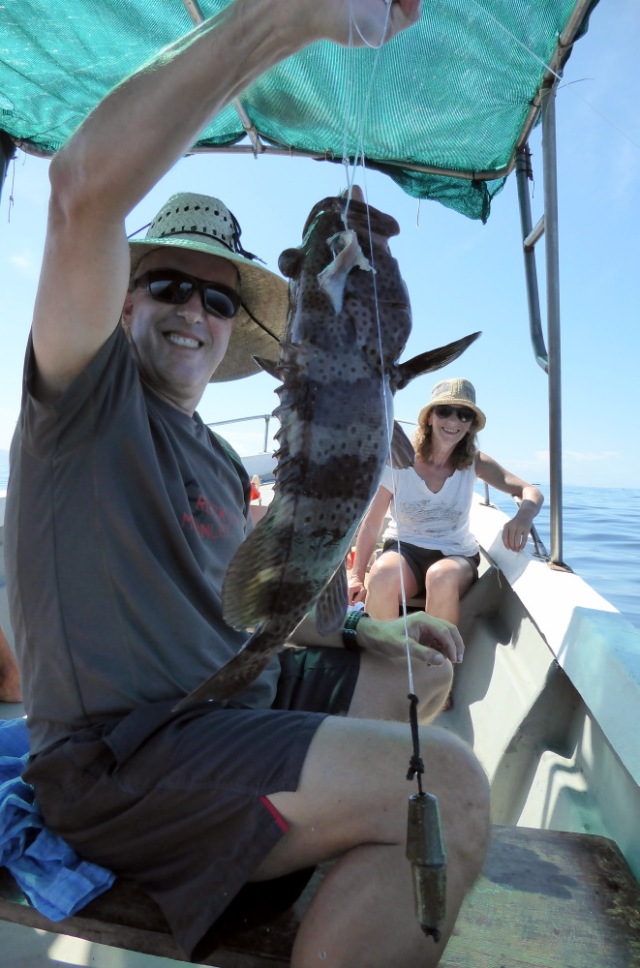
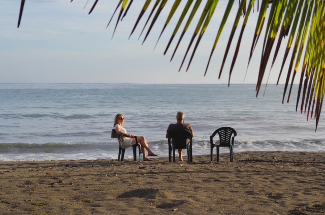
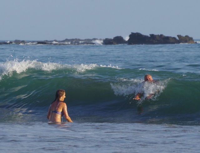
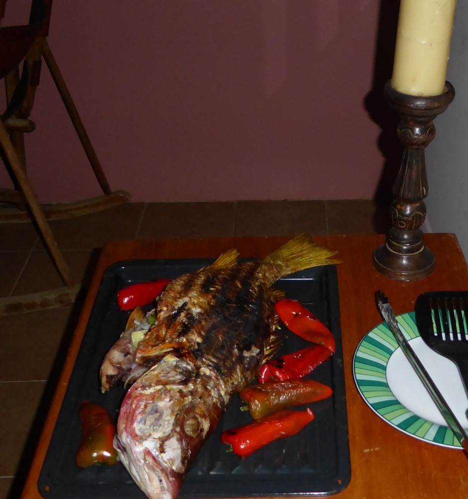
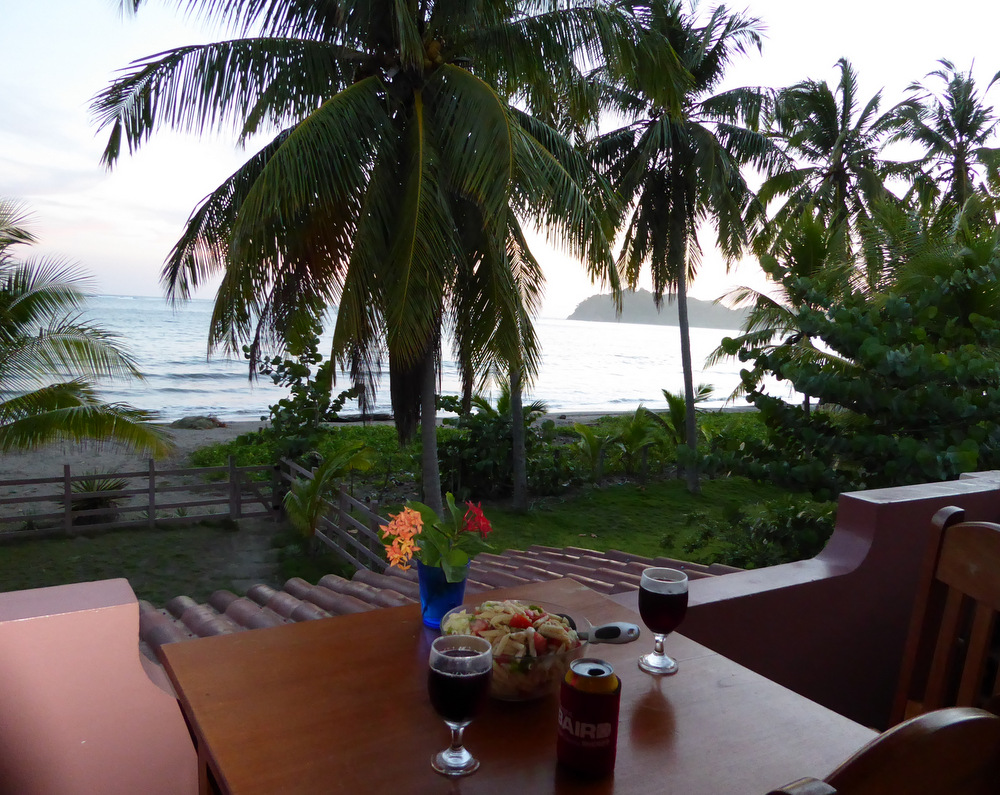
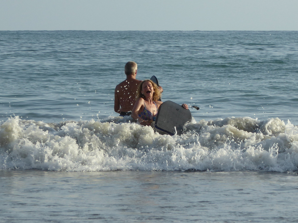
The house was perfect for us, right on the beach, two levels, Anita got the upstairs, each level has a full kitchen, bedroom and bath/shower. It had A/C and we were glad. We went for morning beach walks, swam and body surfed, read and ate a lot of fish. That is because we went out fishing with one of the fishermen and ended up with a hole bunch of huachenango (red snapper) und corvina (sea bass).

Samara is pretty laid back and time just went by. Two weeks of bliss, we cleaned the camper inside and out, did more laundry (some of the clothes that did not like to dry at the last place had to be relaundered).


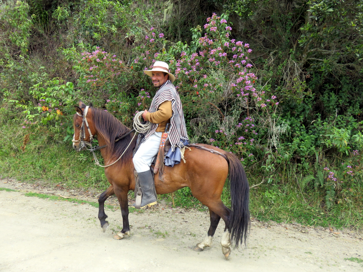
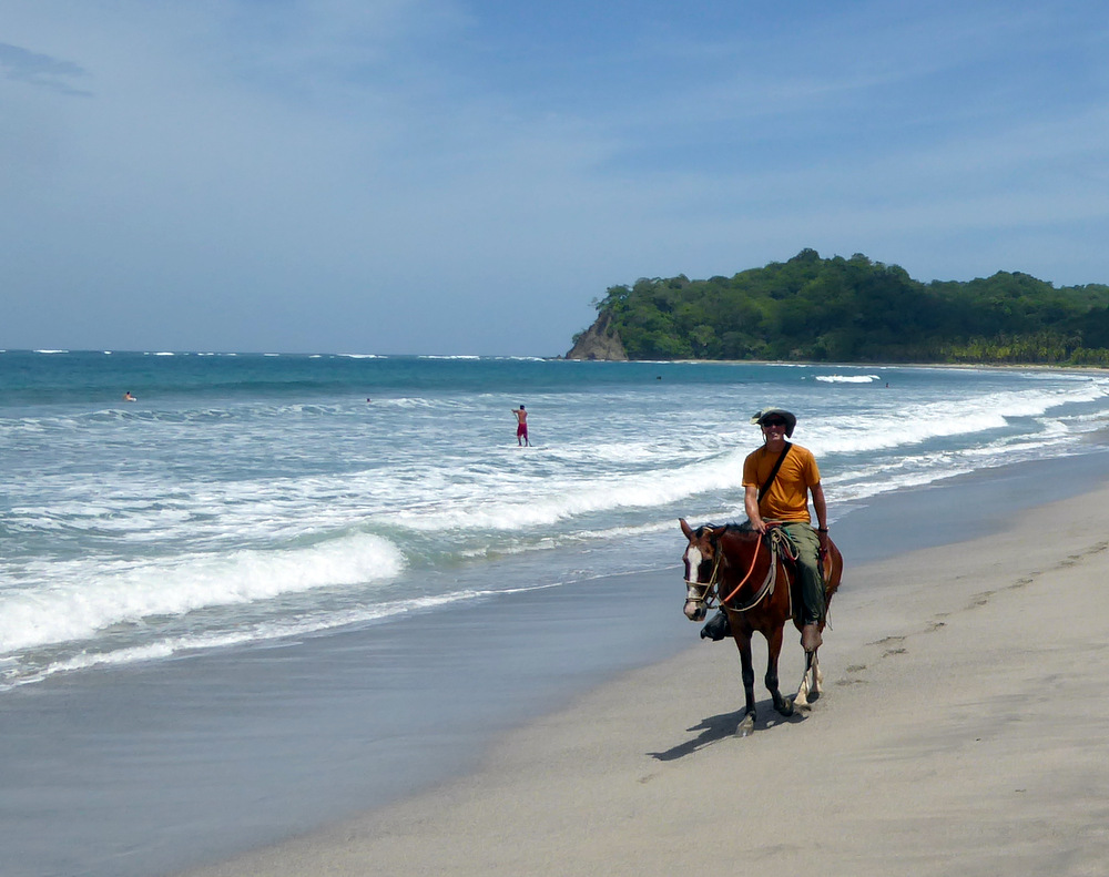
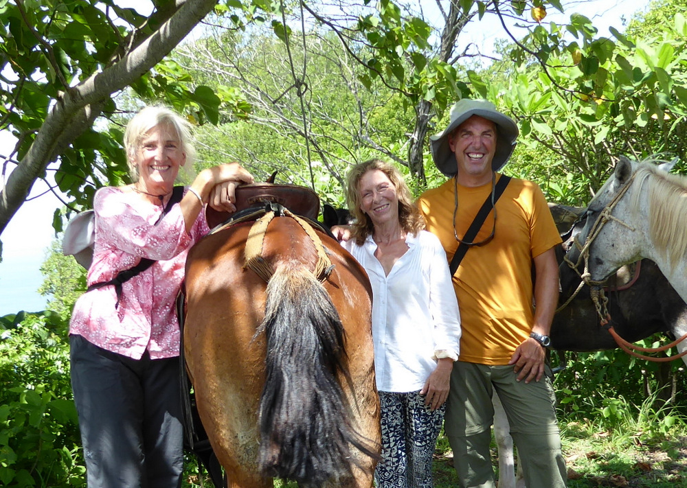
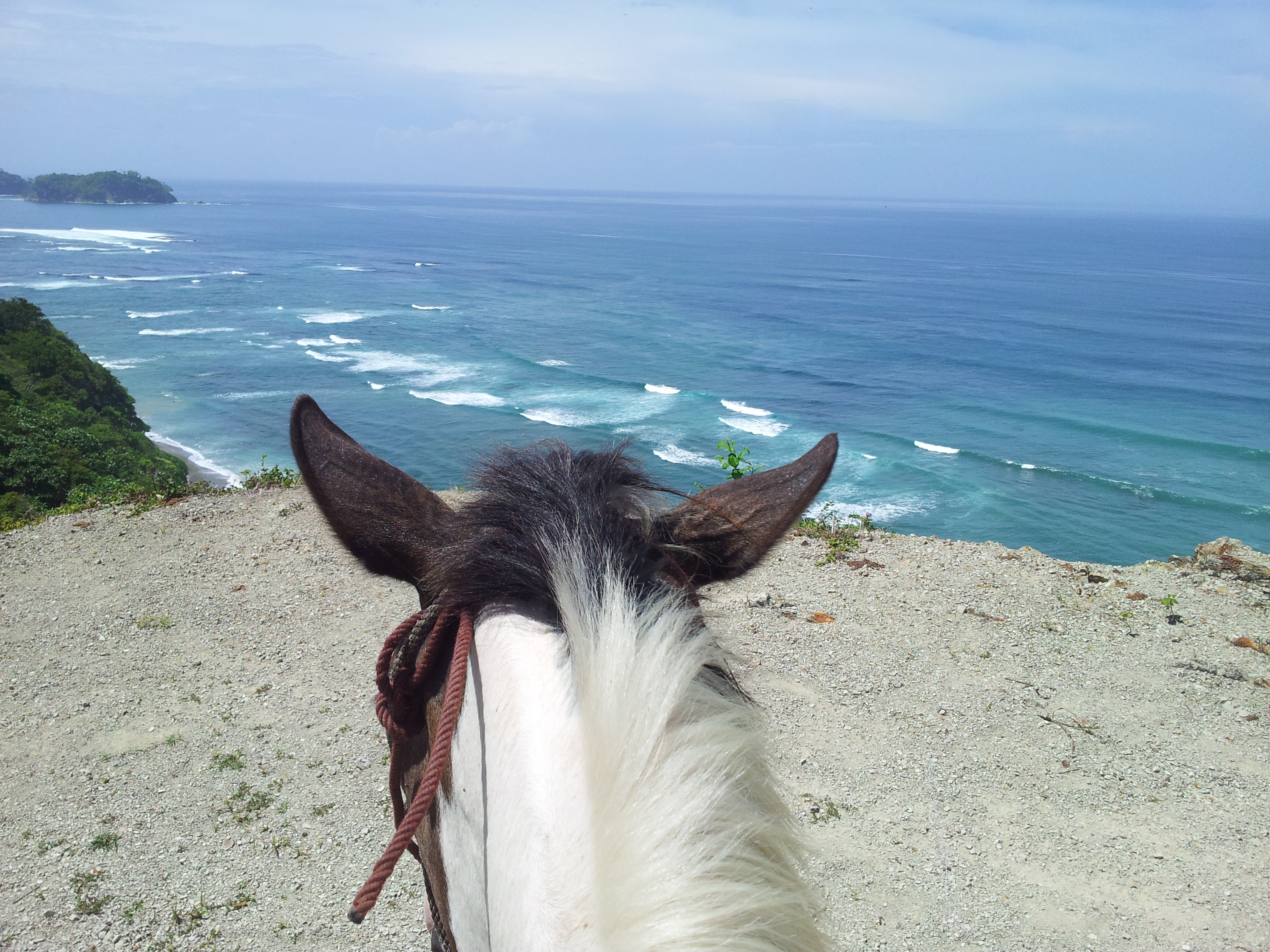
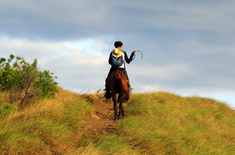
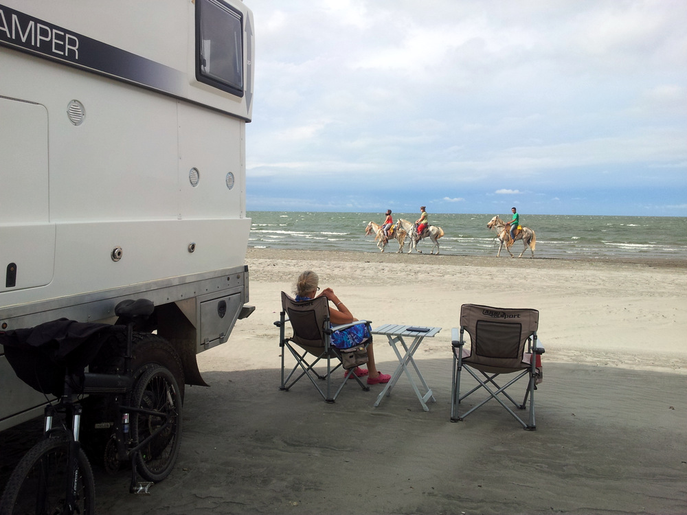
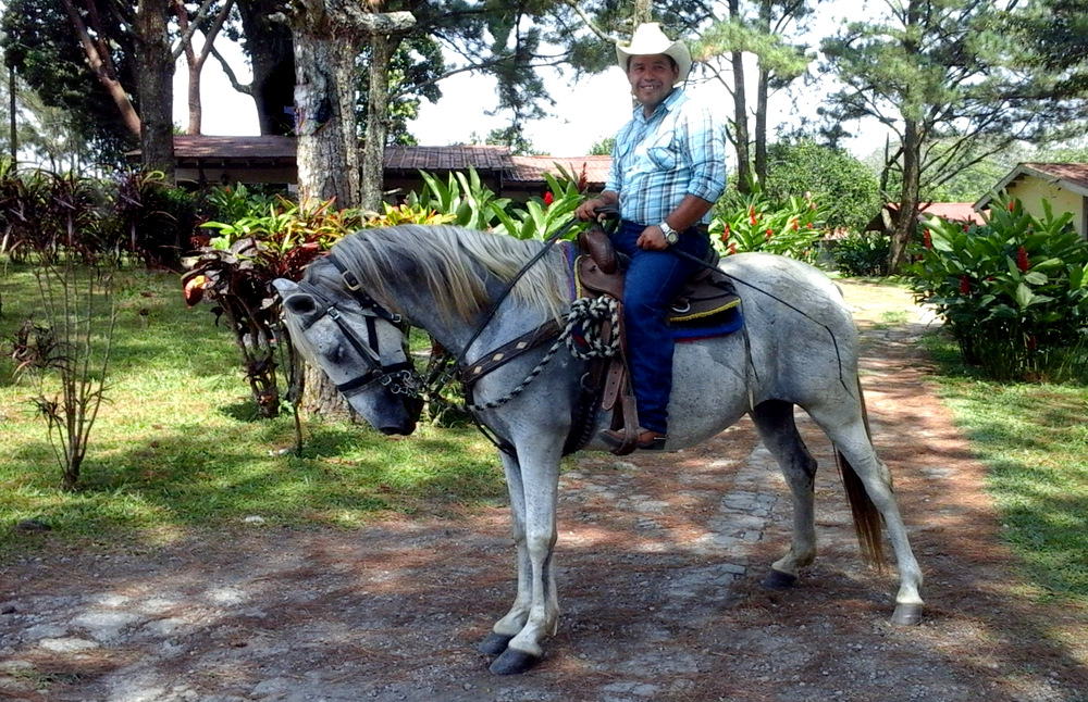
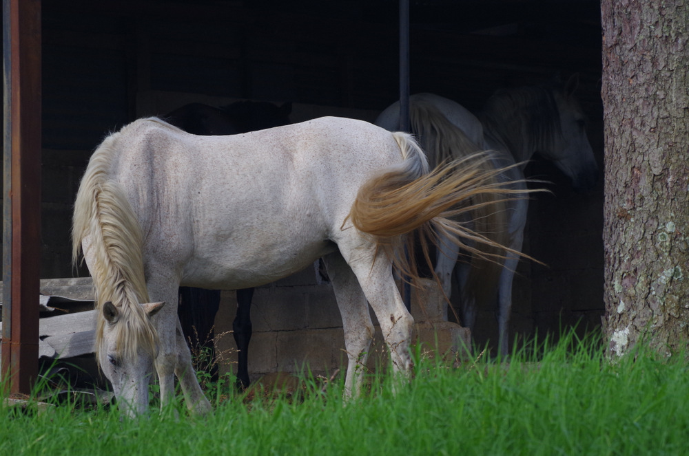
Every day Walter Nixon (a tico with a gringo name) rode past our house with his horses and offered to take use horseback riding. We finally went and had a blast, rode up to a view-point and galloped along Buena Vista beach. It made me think of all the years my friend Maureen and I used to go riding (after we got our kids off to school) on the beach and through the woods. Great memories.


Pinto and I looking down to the beach of Samara.
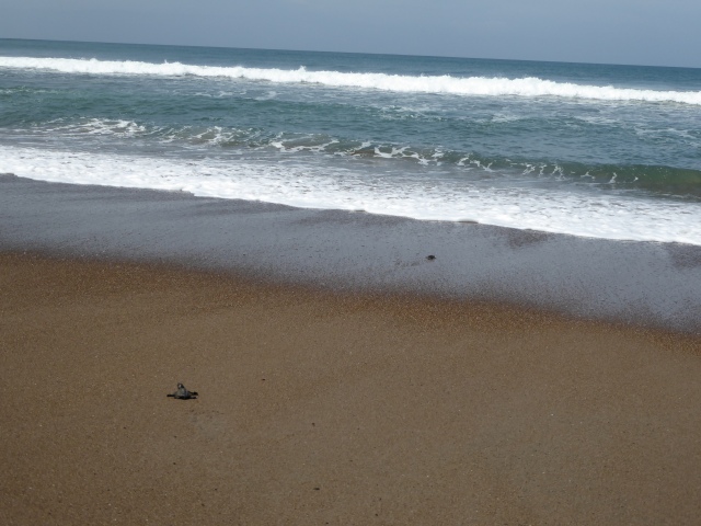
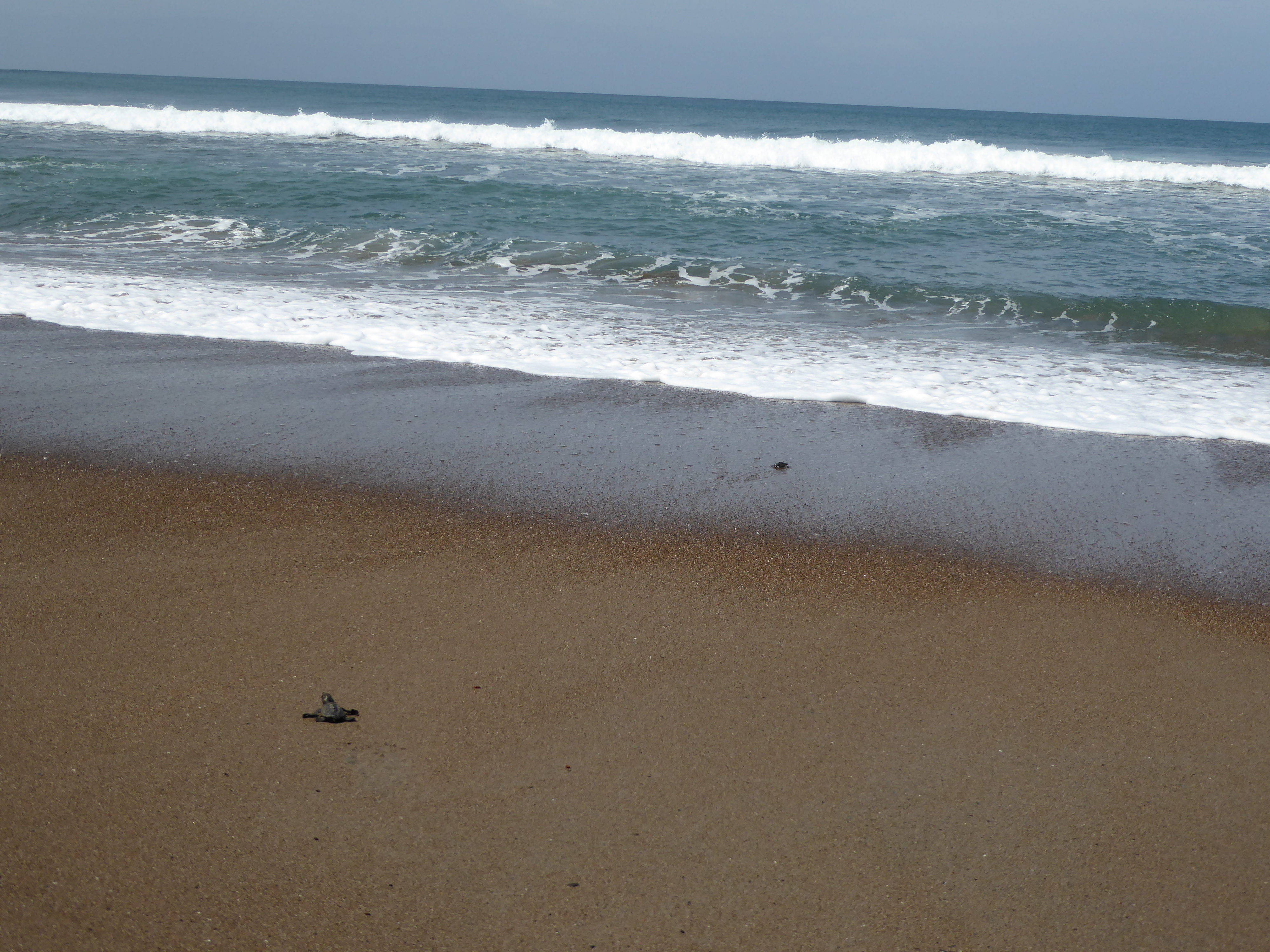
It was Anitas first time on a horse and she did really well. At Buena Vista Beach is a turtle rescue station. We stopped to talk to a volunteer, a young woman from the US. They are desperately trying to save the eggs from poachers and hatch them in an enclosed area of the beach. Some turtle babies had just hatched and we got to release them and watch them hit the surf. Poor little guys, their chances are so slim, we sent them off with best wishes.
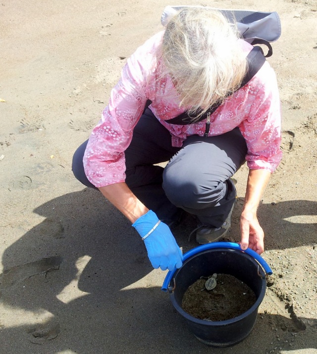
Baby Olive Ridleys
Our plans to visit the Caribbean coast had to be changed because of extensive flooding and torrential rains in the area.
Soon Anitas vacation time came to a close and we dropped her off again at the airport. It was really nice to have her come and visit and I hope some of our friends and family members will consider such a visit in the future.
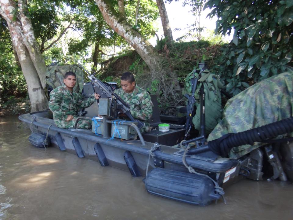
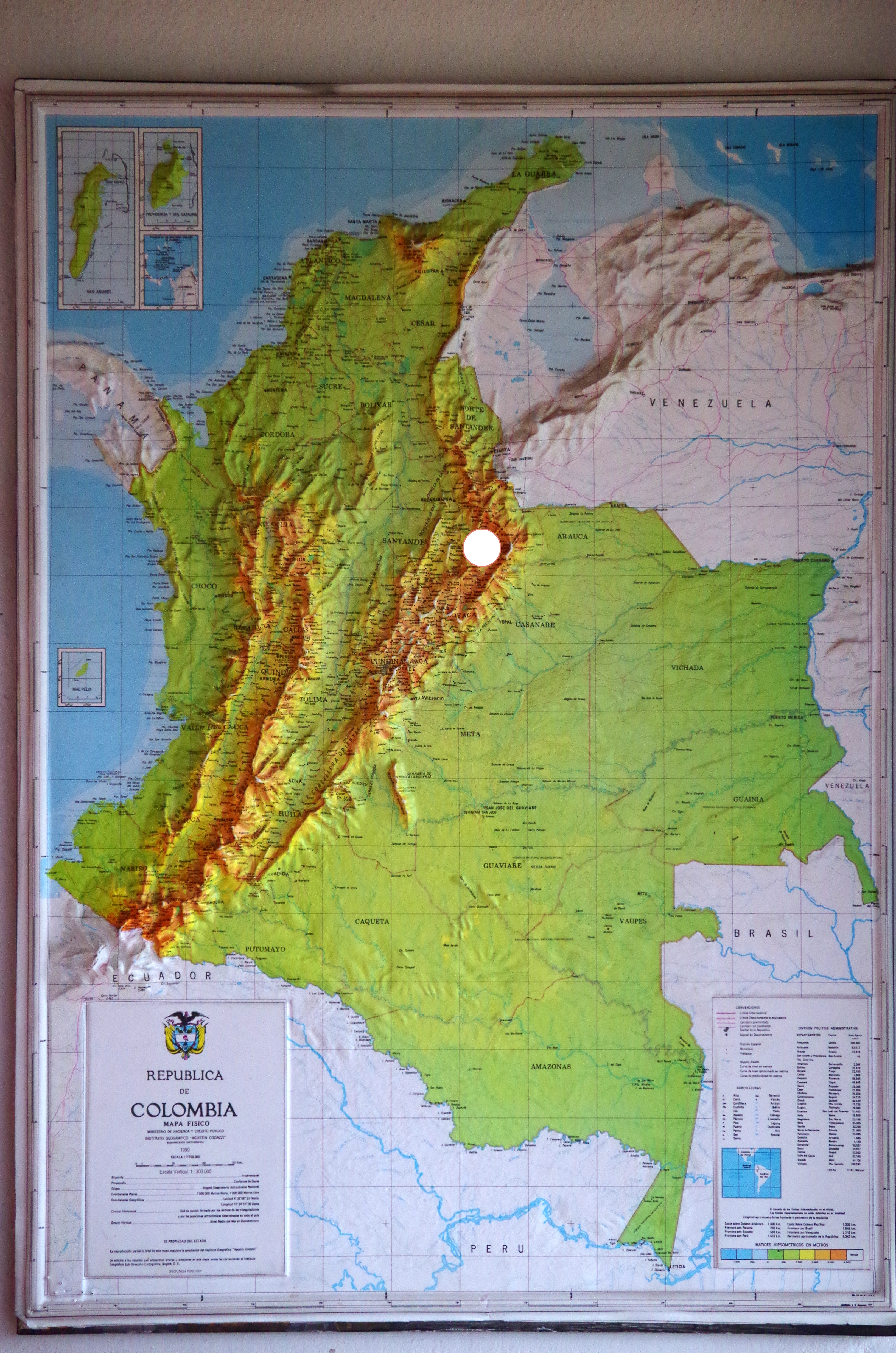
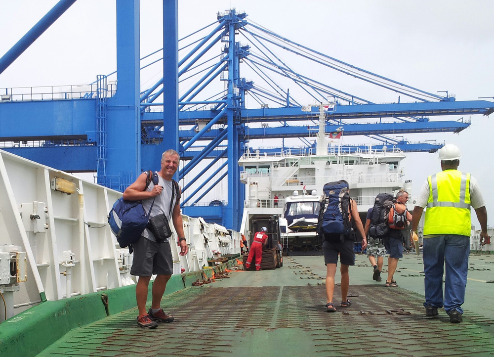
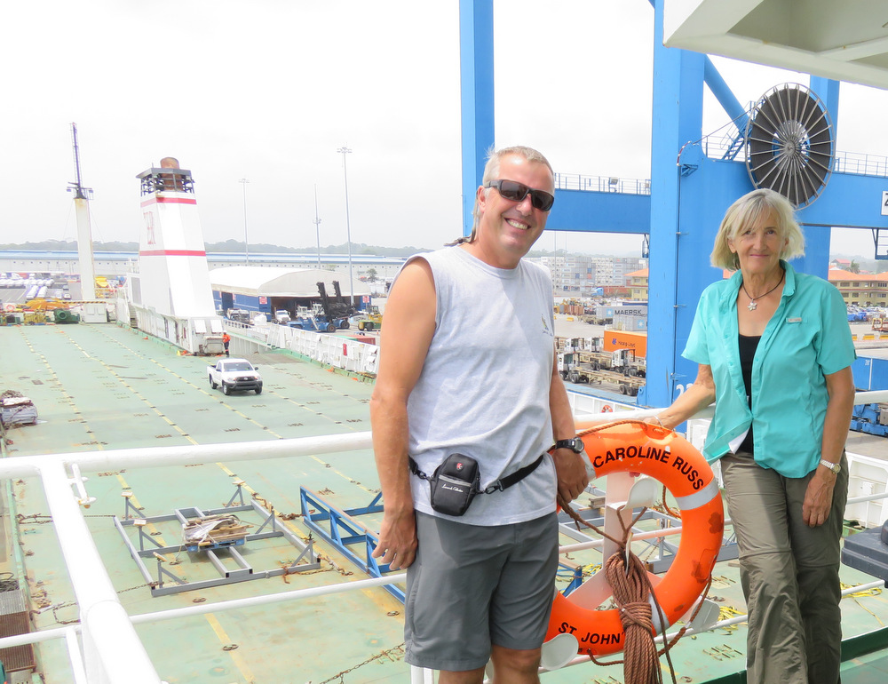
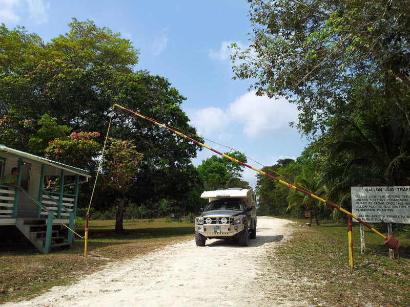
It was time to start planning the transit across the Darien Gap. The Pan-American Hyw stops in Panama and starts up again on the other side of a great swampy jungle in Columbia. We have to ship our camper from Colon in Panama to Cartagena in Columbia. There was a ferry for a few months this spring, but it is discontinued. So we booked a spot on a cargo ship for the 13. of July and it was time for us to head to Panama.
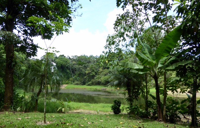
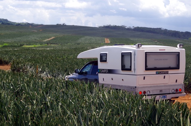
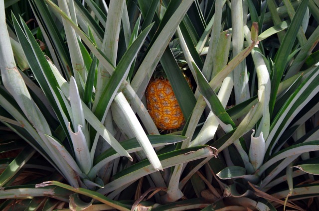
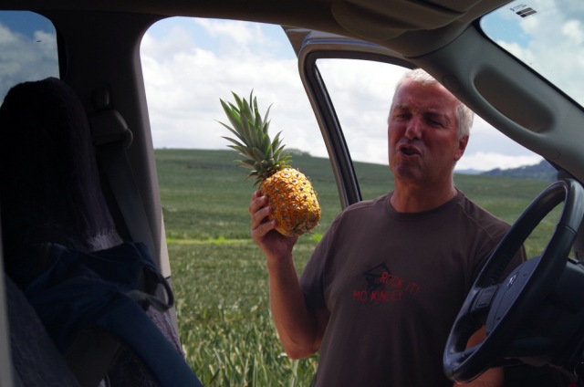
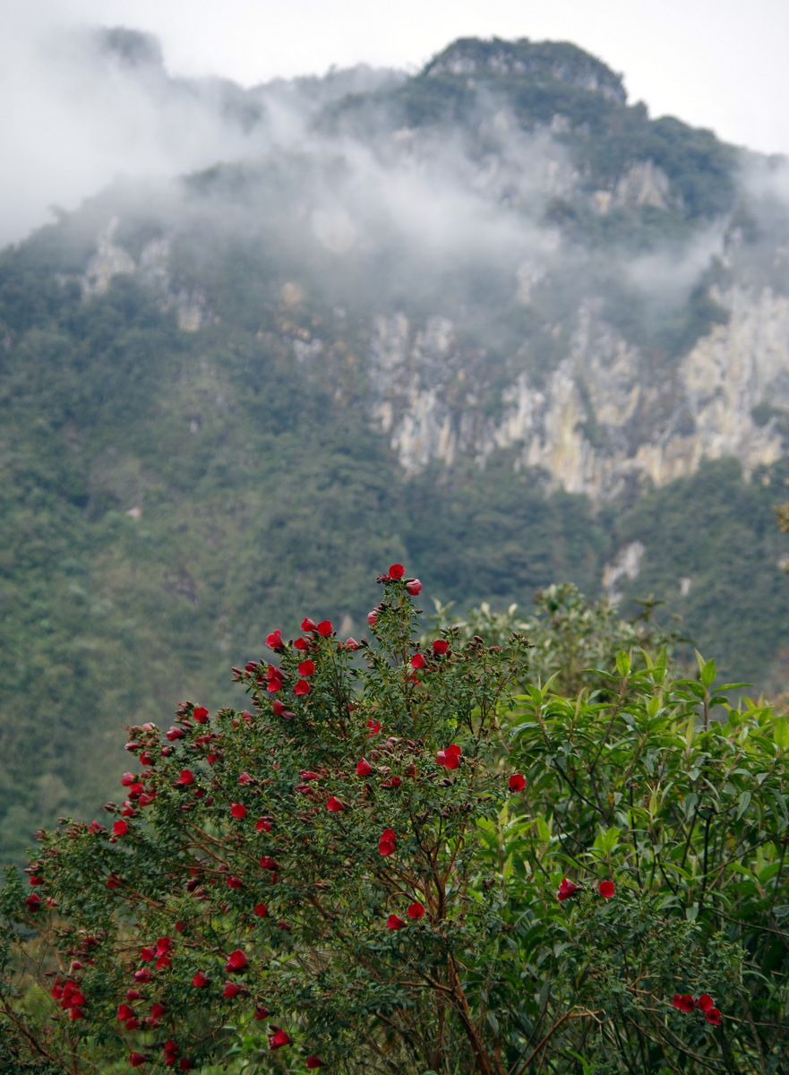
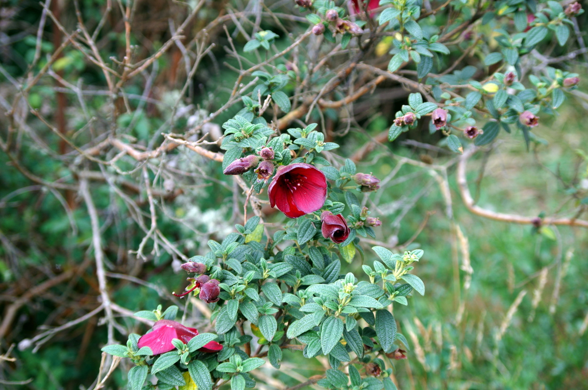
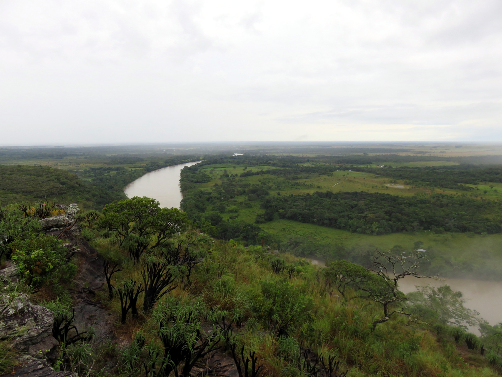
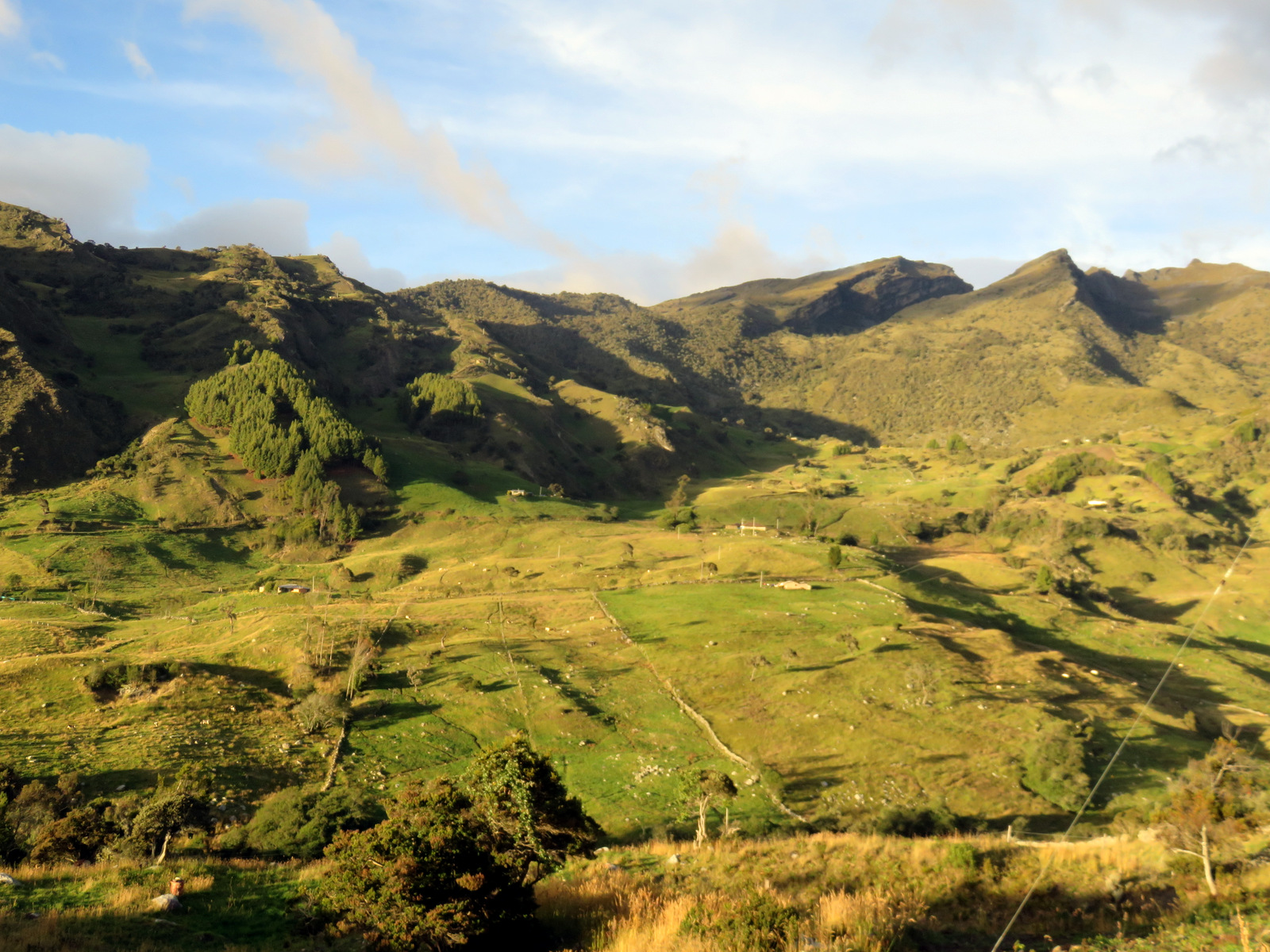
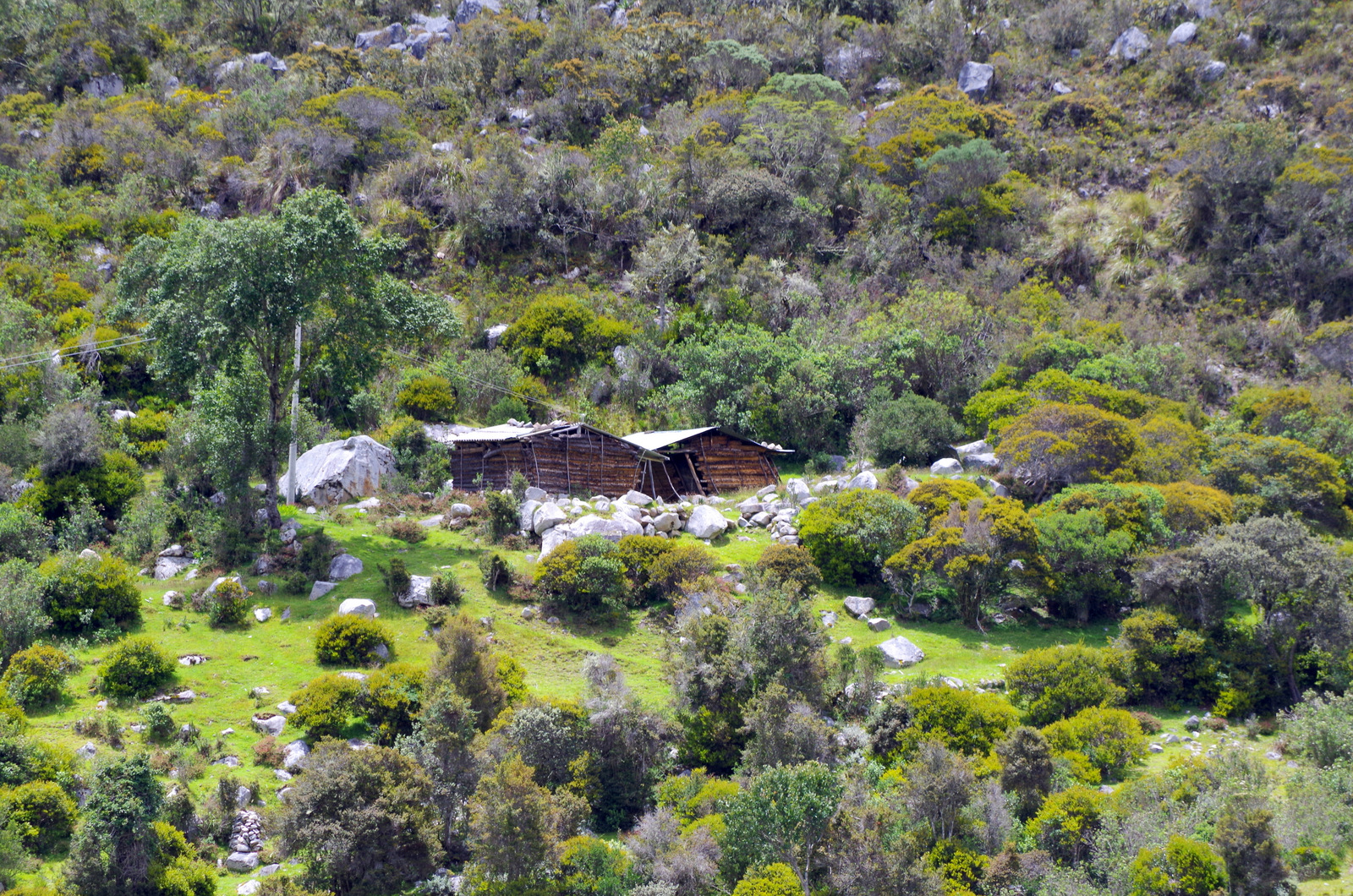
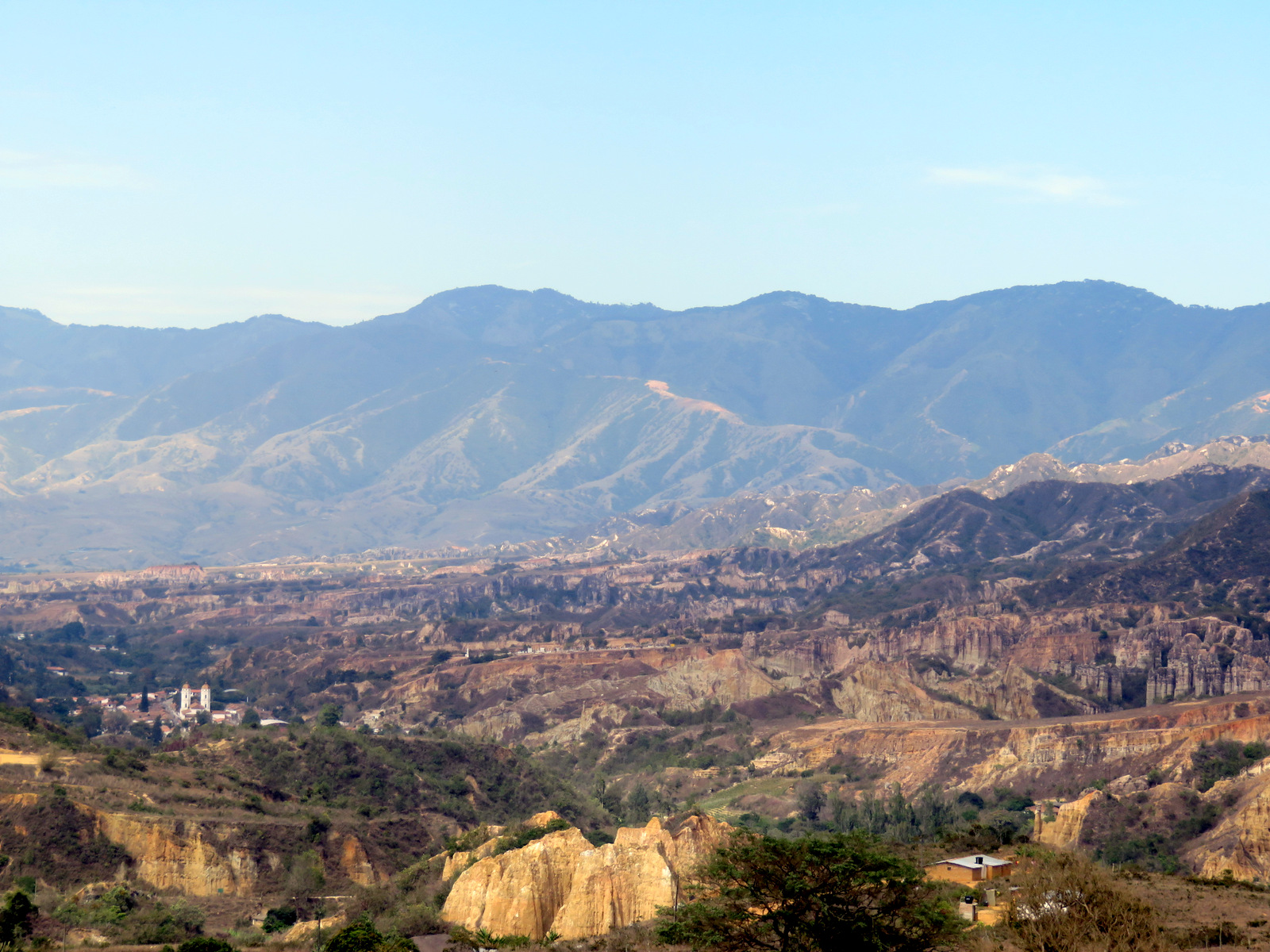
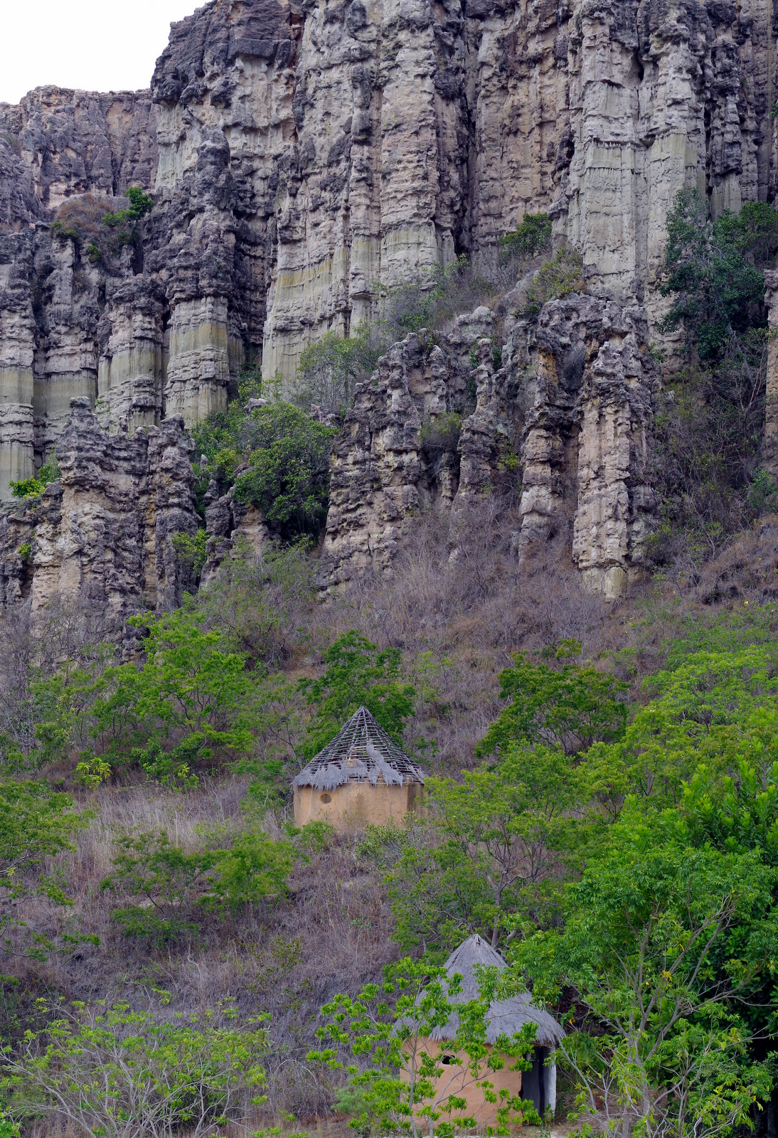
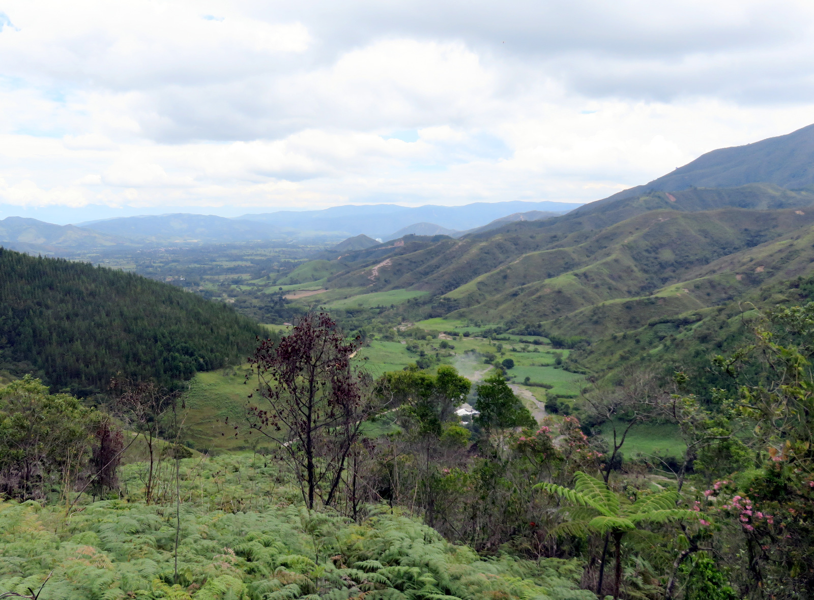
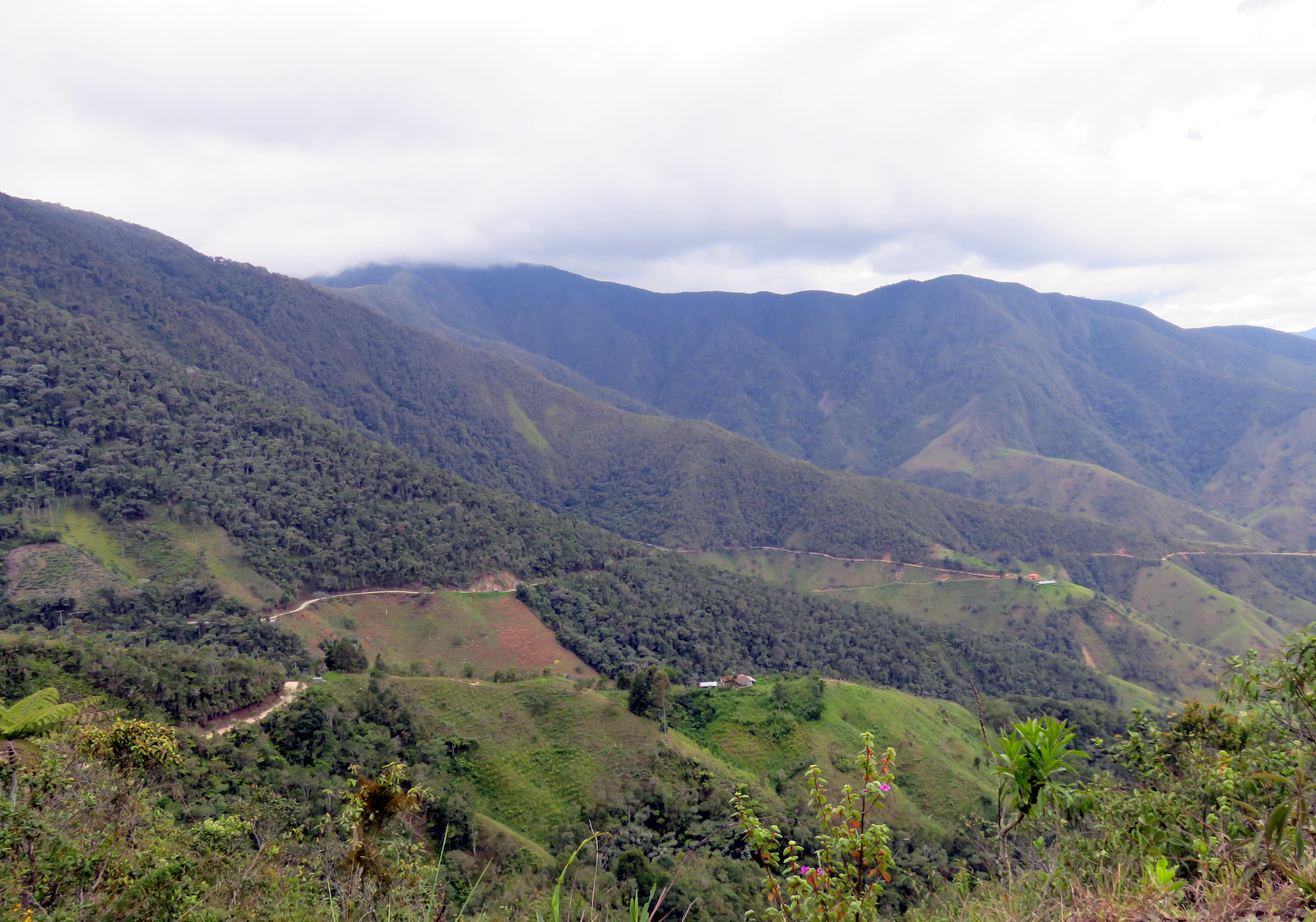
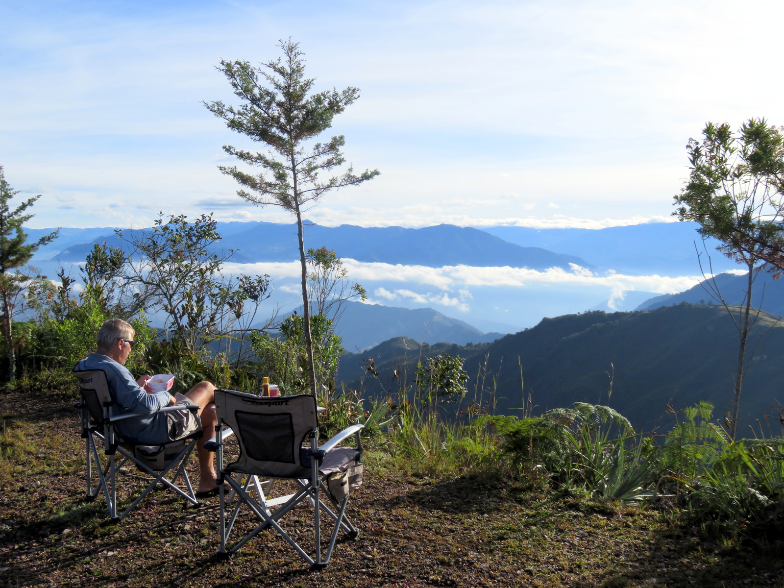
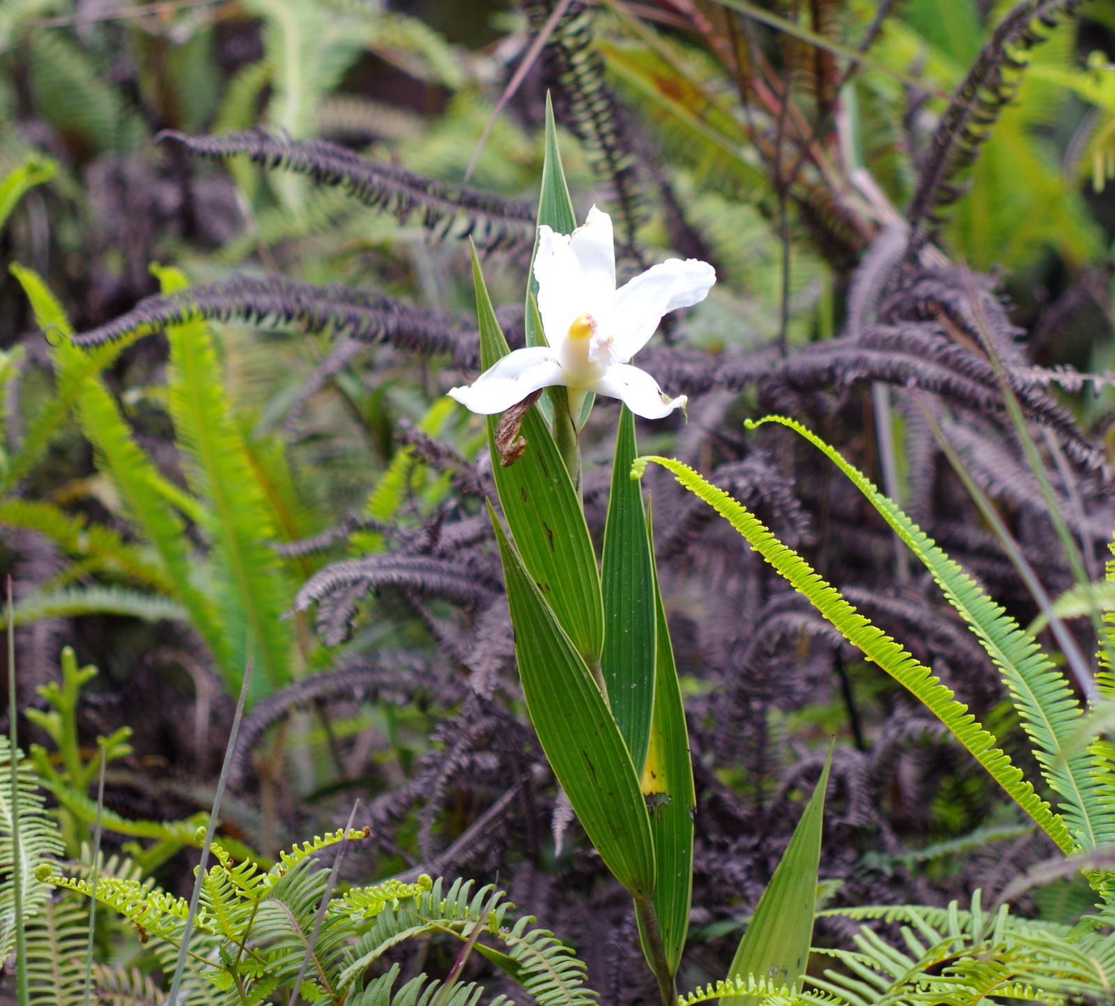
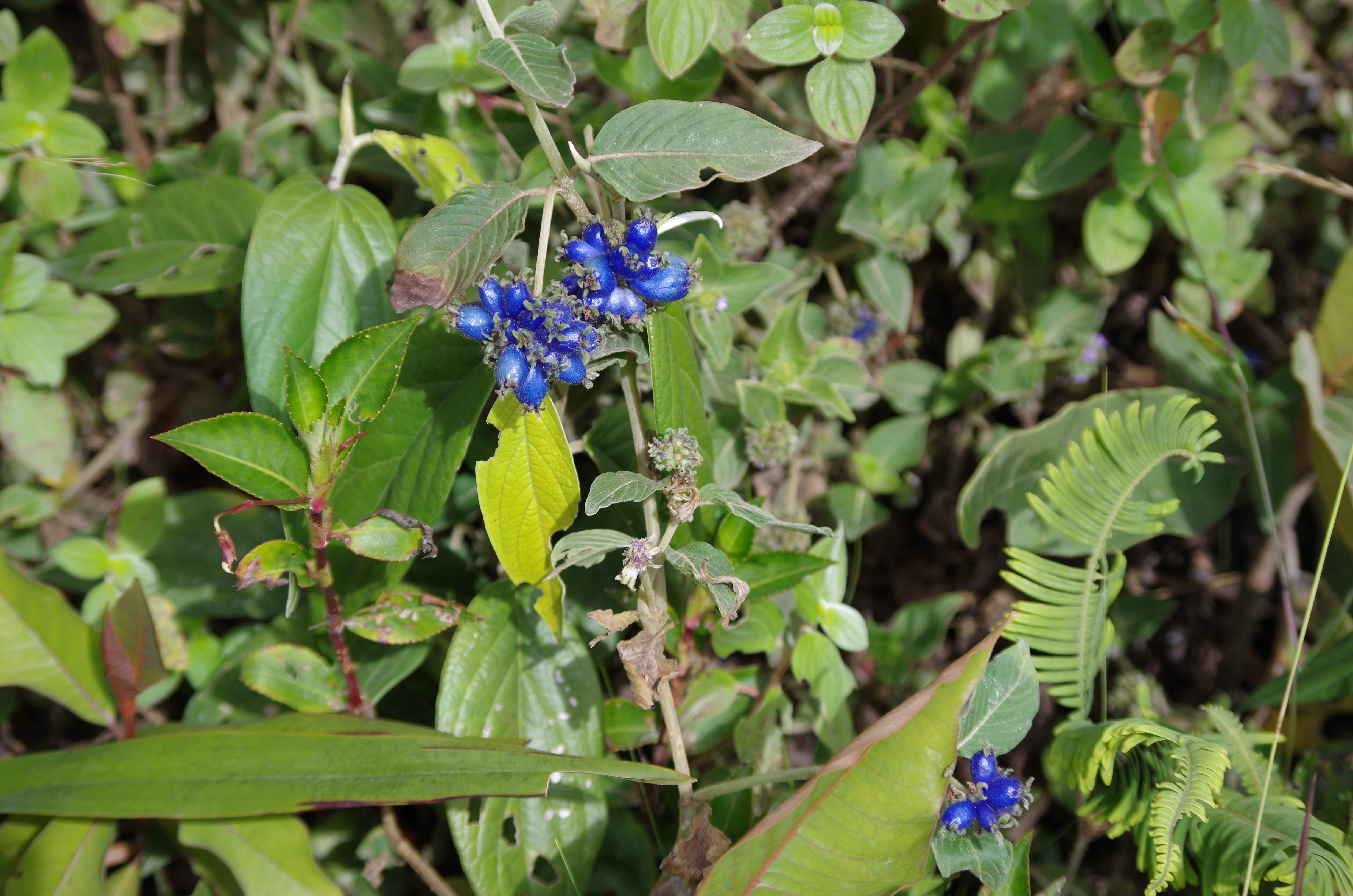
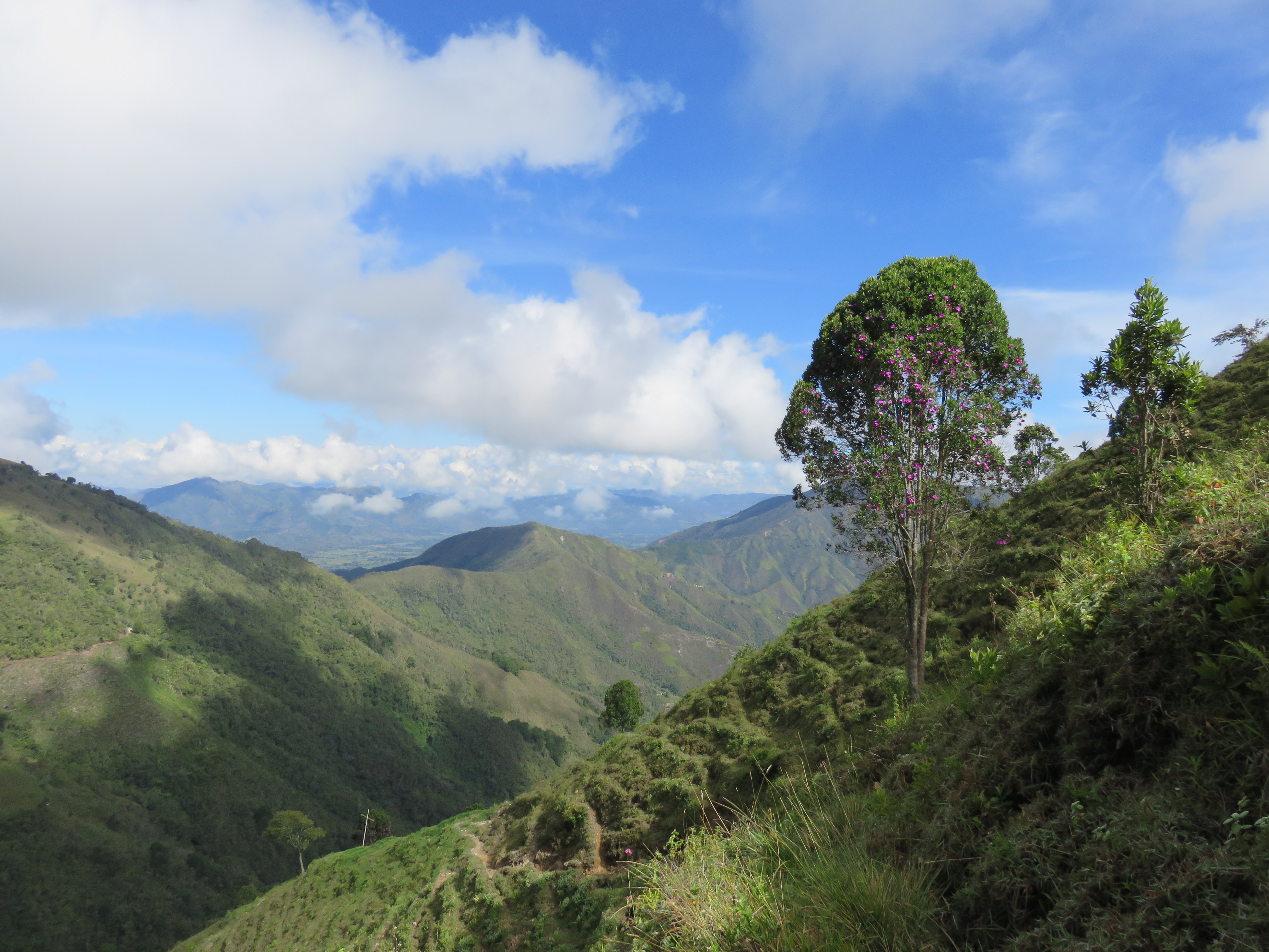
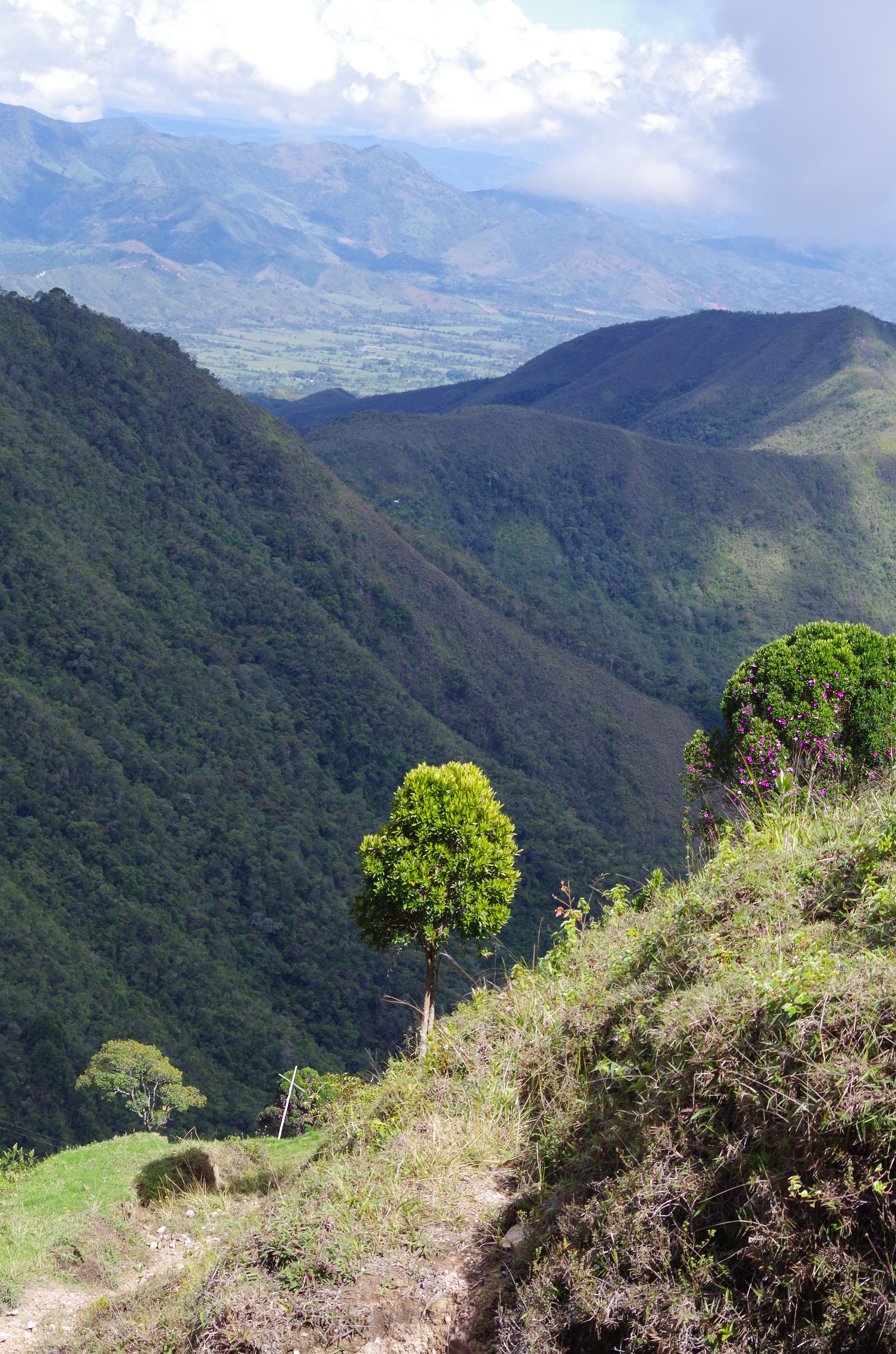
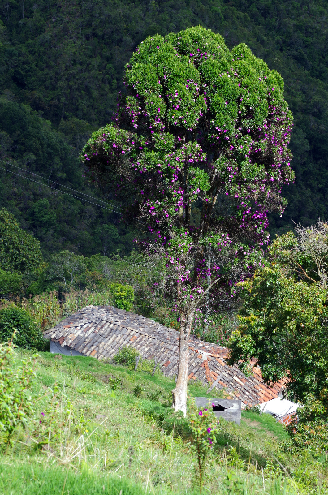
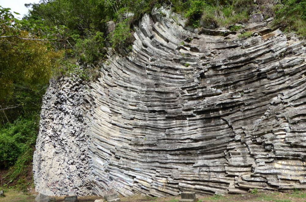
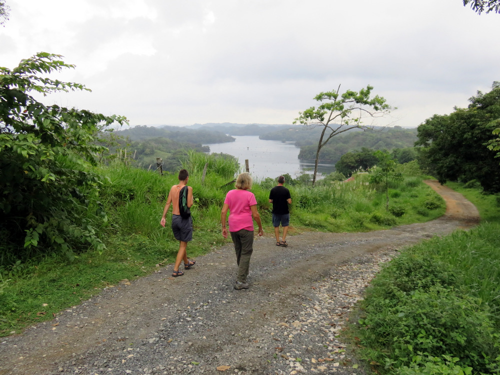
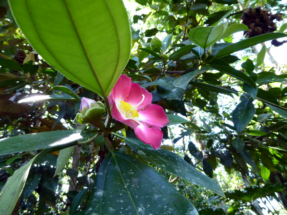
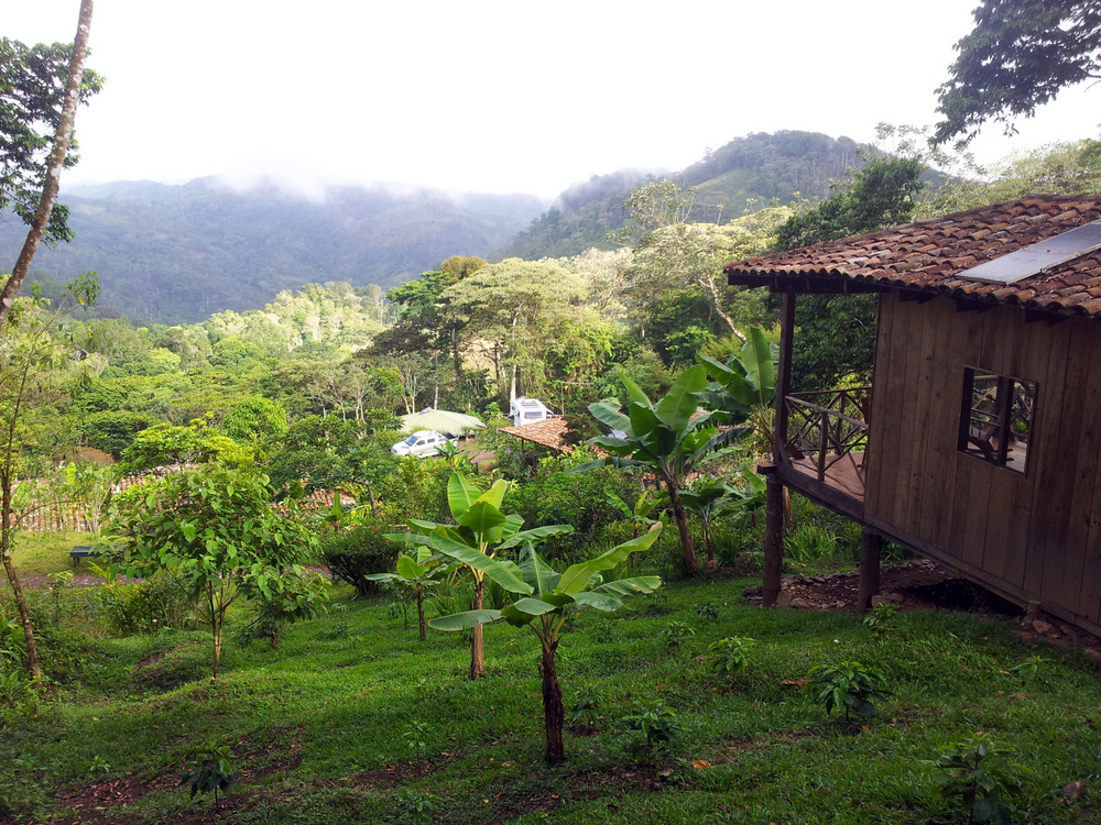
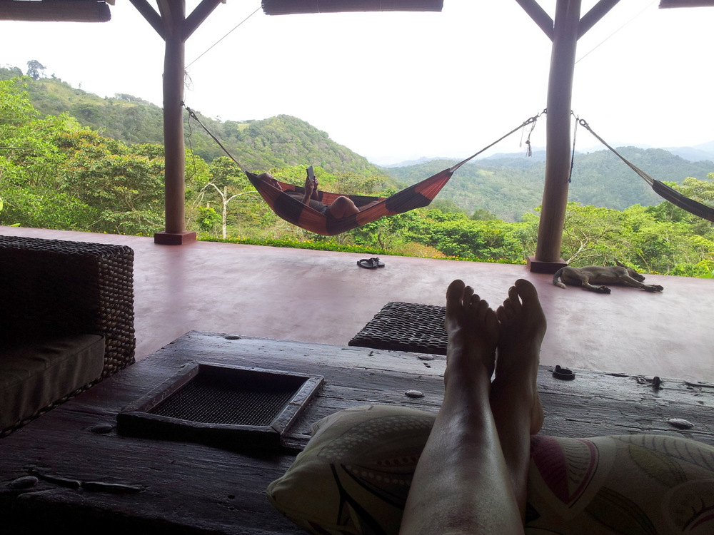
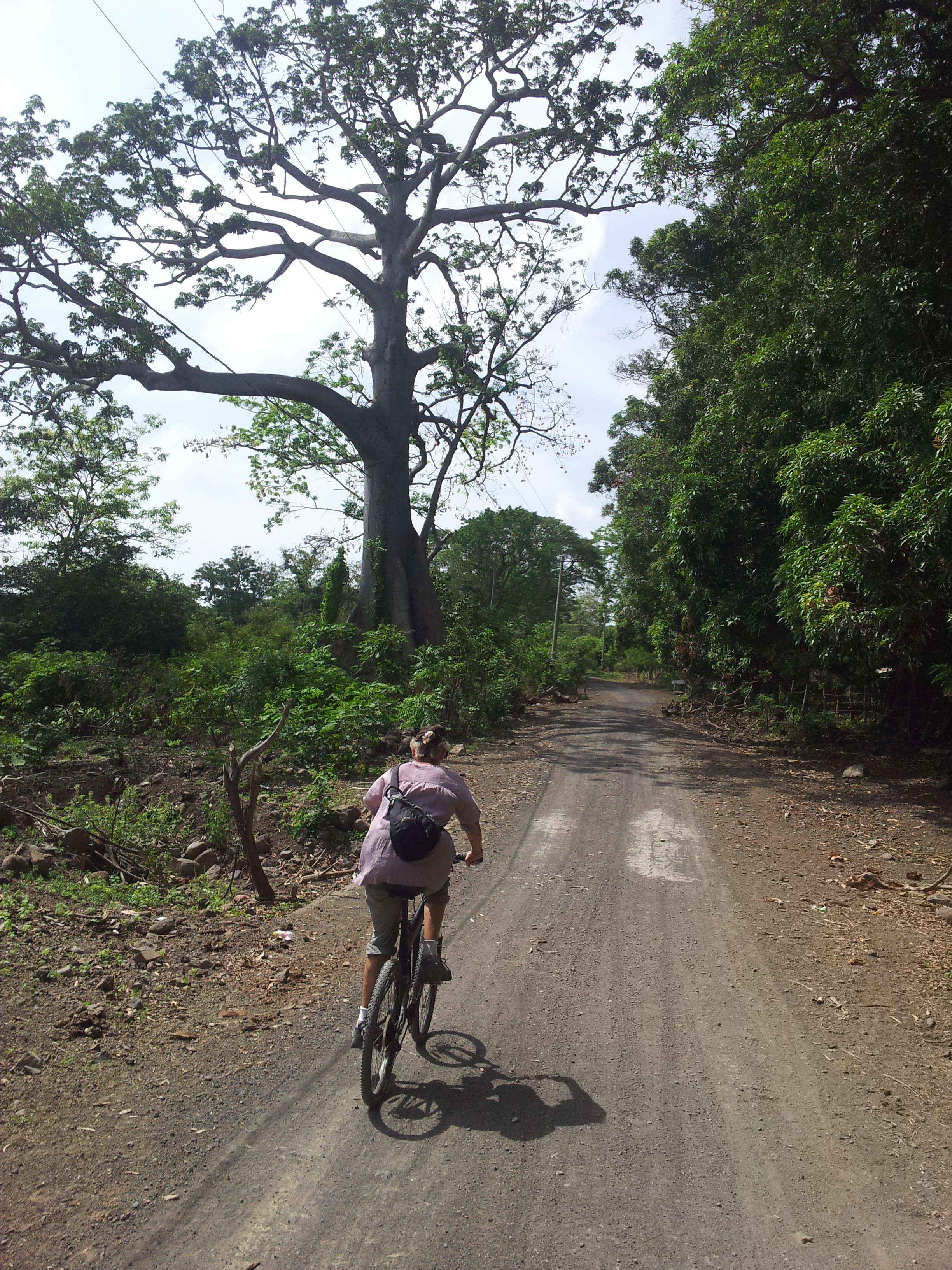
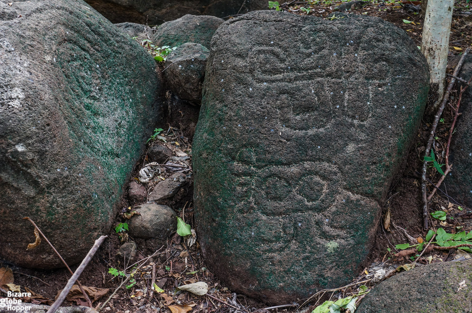
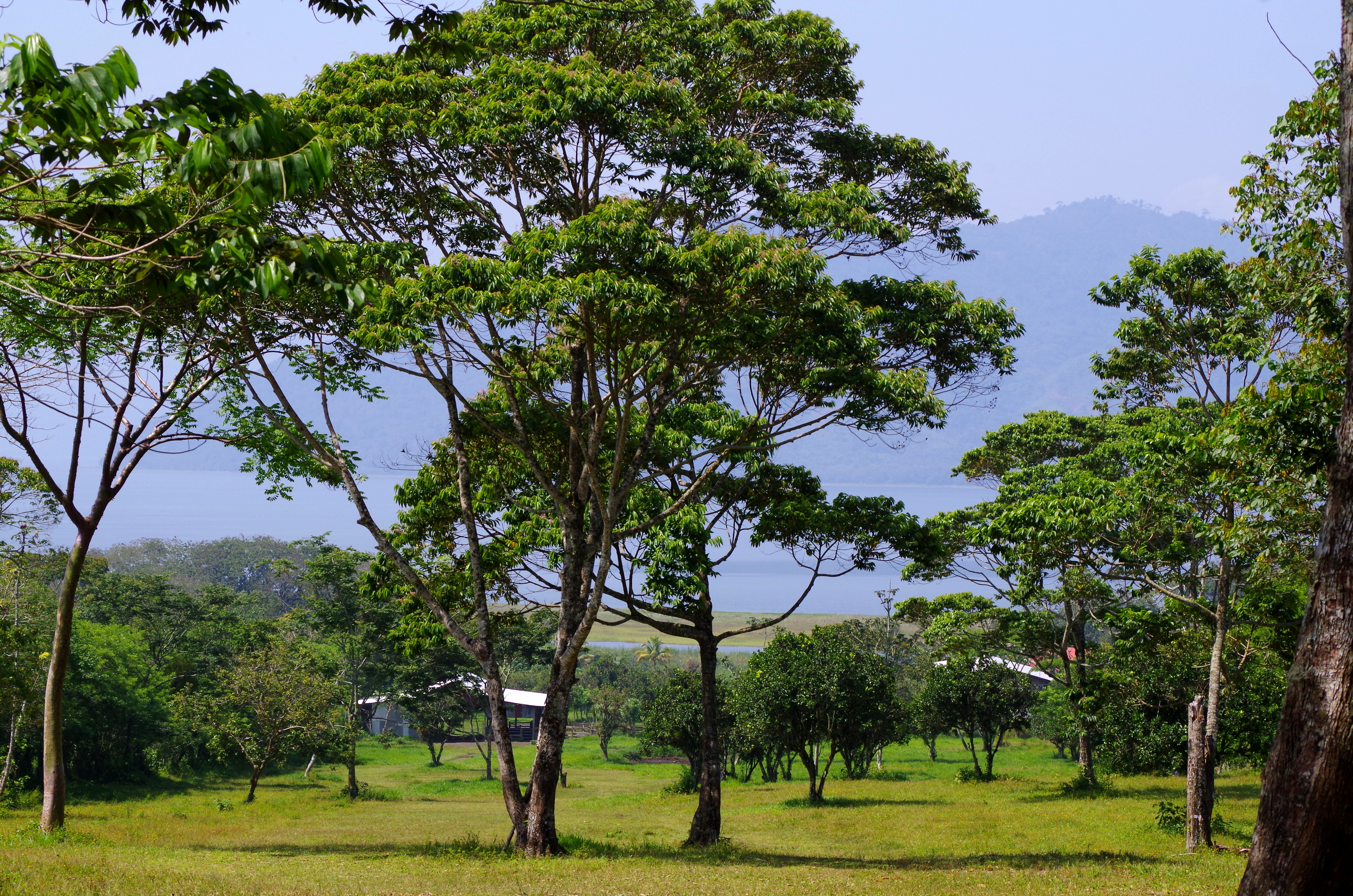
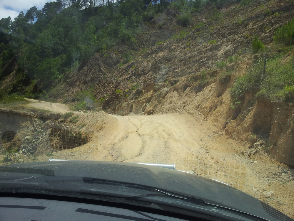
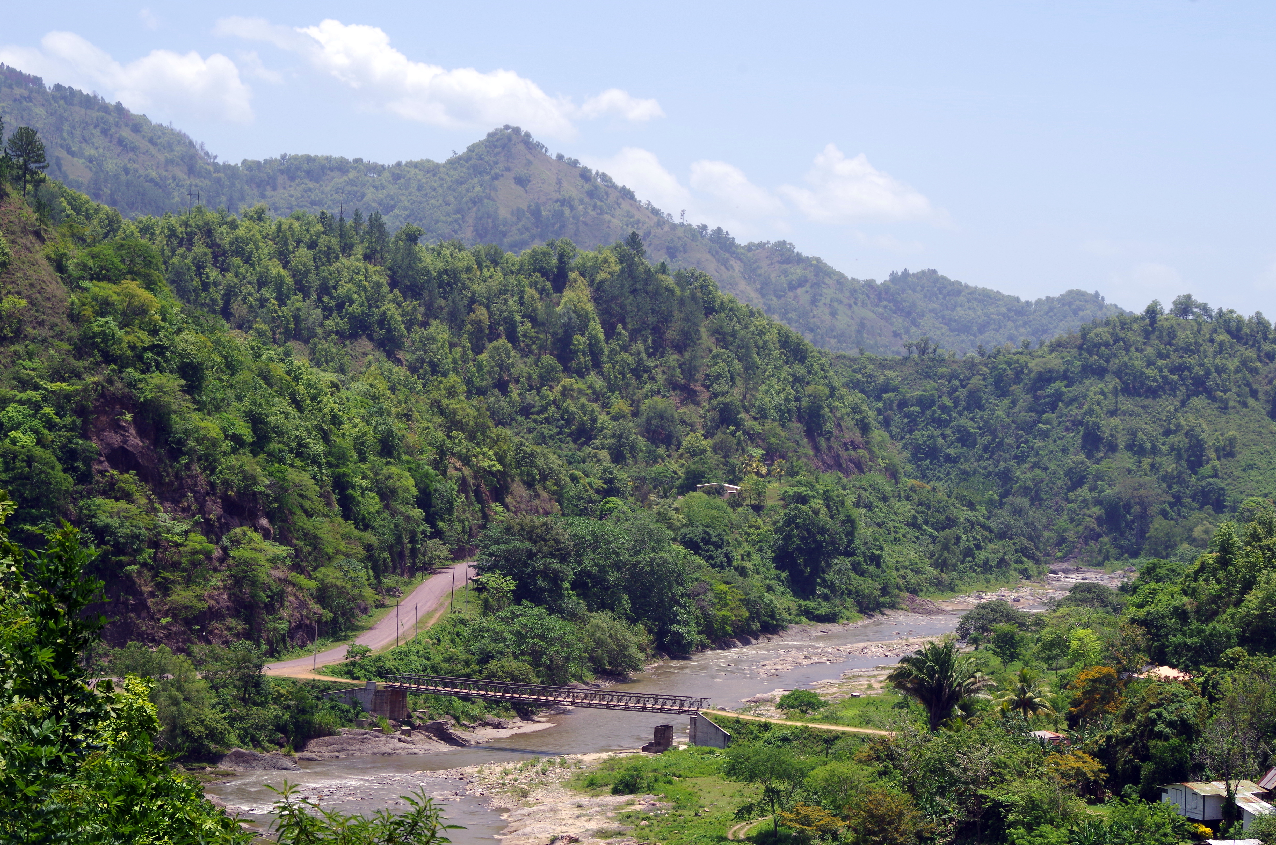
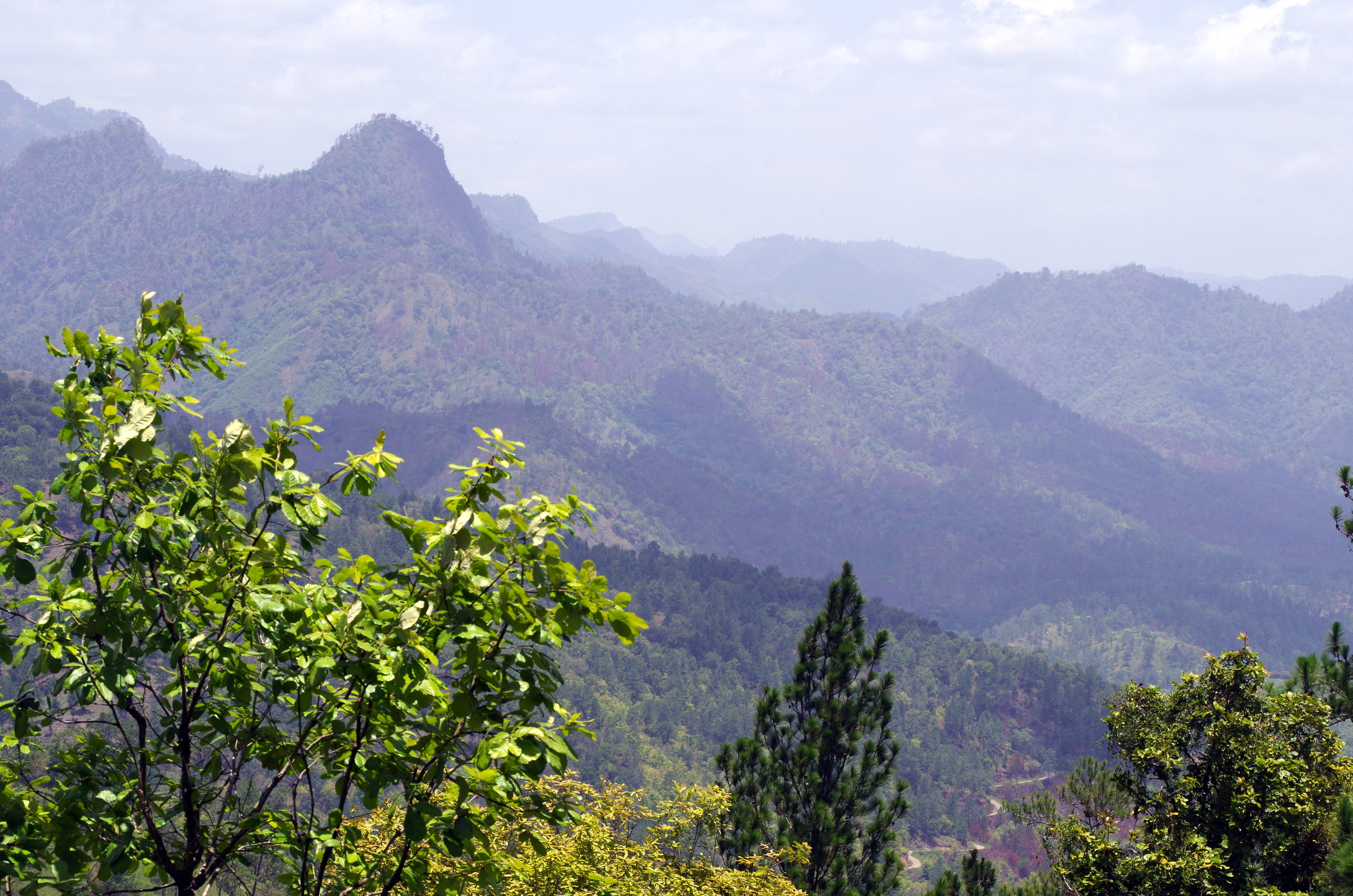
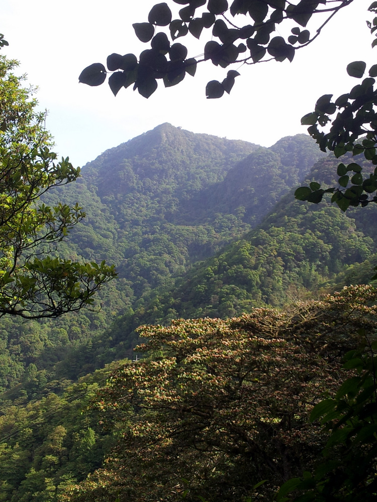
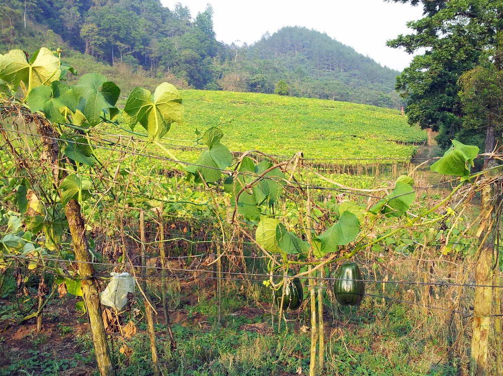
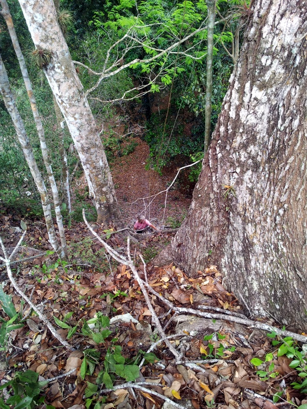
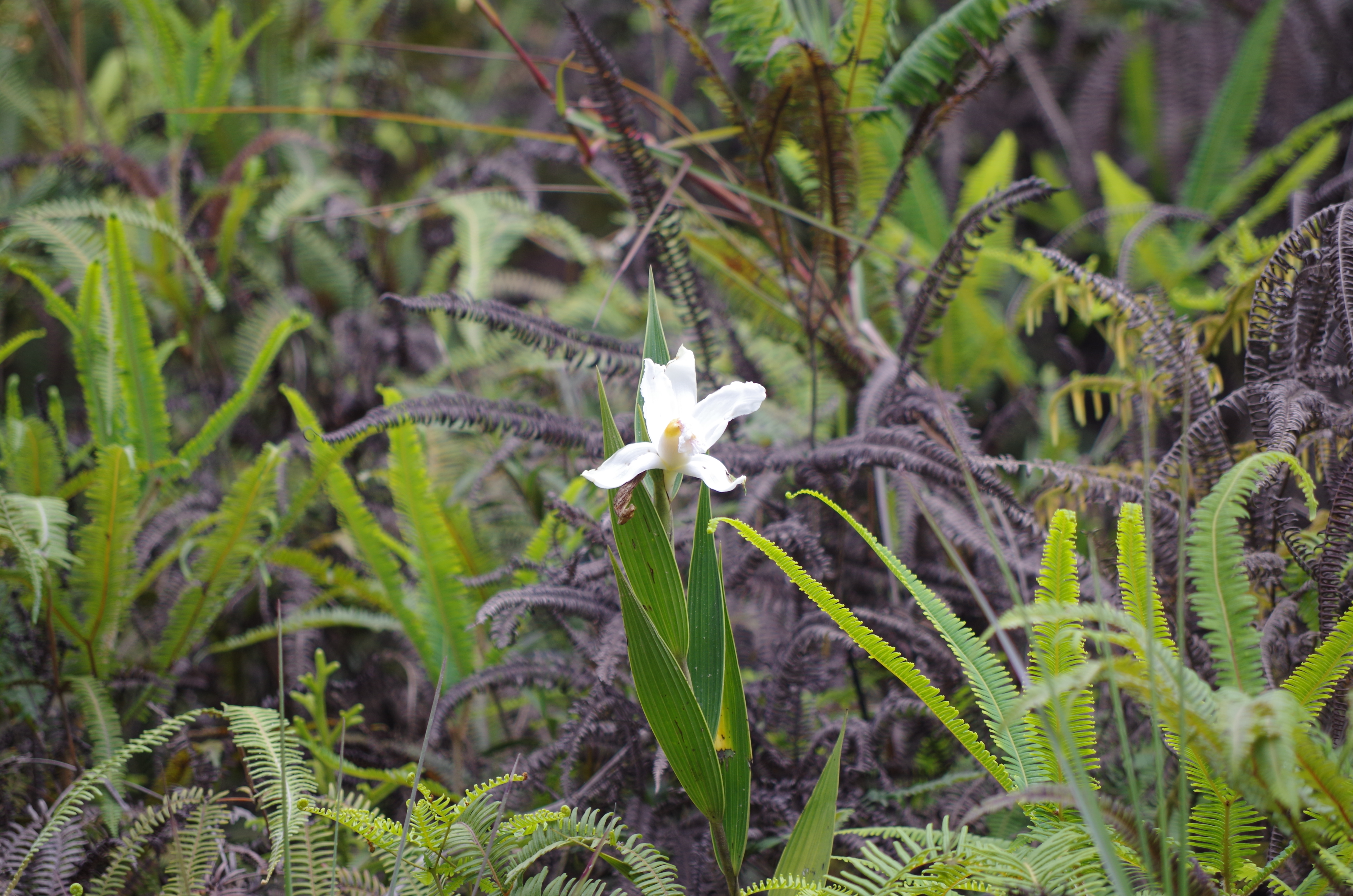
We went to the mountains again, drove on a beautiful road over Cerro del Muerte ( I definitely will come back and go hiking here, on thr Osa and Parque Amistad) past vast pineapple fields to a little town called San Vito. There is a small nature reserve above town and the owners have a camp spot in the middle of this beautiful garden/forest. Finca Cantaros: A former pasture with an ancient pond had been replanted with native plants and trees and the result is very special. There is a petroglyph stone and in the trees we saw, amongst many other birds, crested guans and toucans in the trees above the camper.
Our camp spot at Finca Cantaros
Melastome (look at the extra marginal veines in the leaf)
Chestnut-mandibled Toucan at Finca Cantaros
Laguna Zoncho
Finca Cantaros is one of more than 230 nature reserves that are affiliated with the Network of Private Nature Reserves of Costa Rica. (Total more than 140 000 hectares).
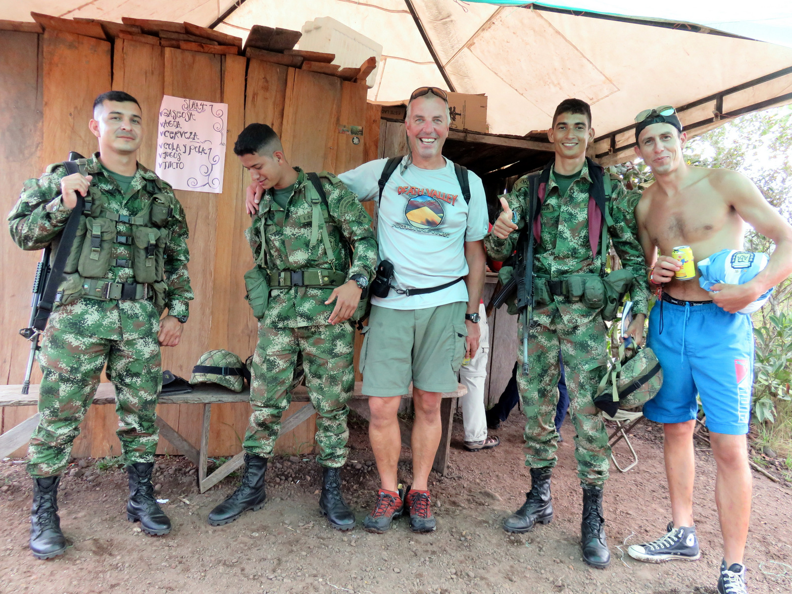
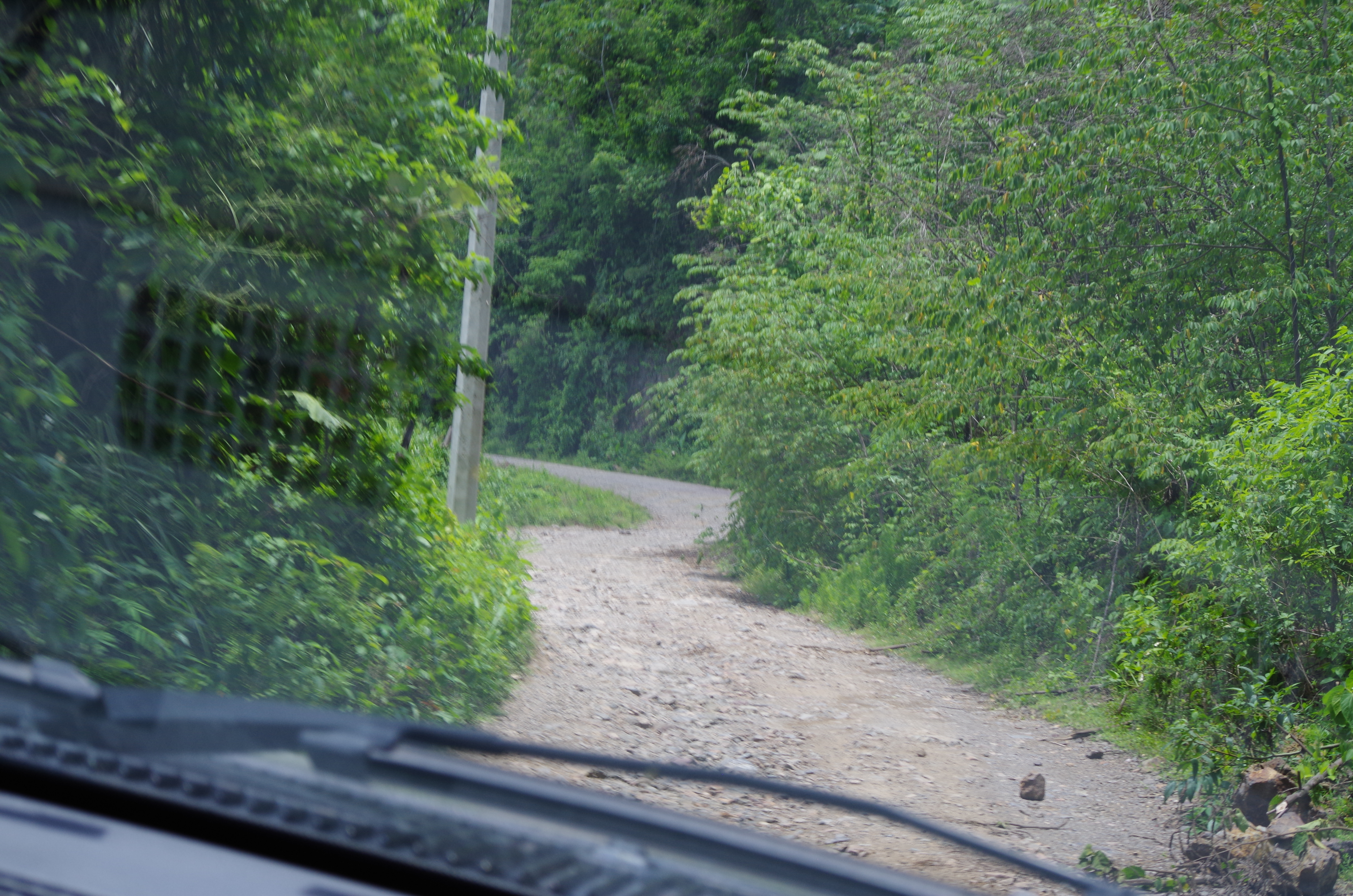
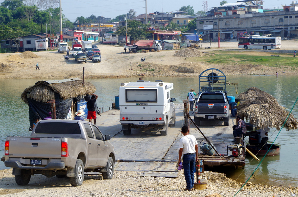
Two nights at this peaceful spot, the border to Panama was not far and we crossed it on a Sunday. A dirt road leads there and we almost crossed the border at Rio Sendero without knowing that we were there. No signs,flags or uniforms. We asked an old man where the border is and he said “right here”. Ok, we backed up again and did the border maze again.
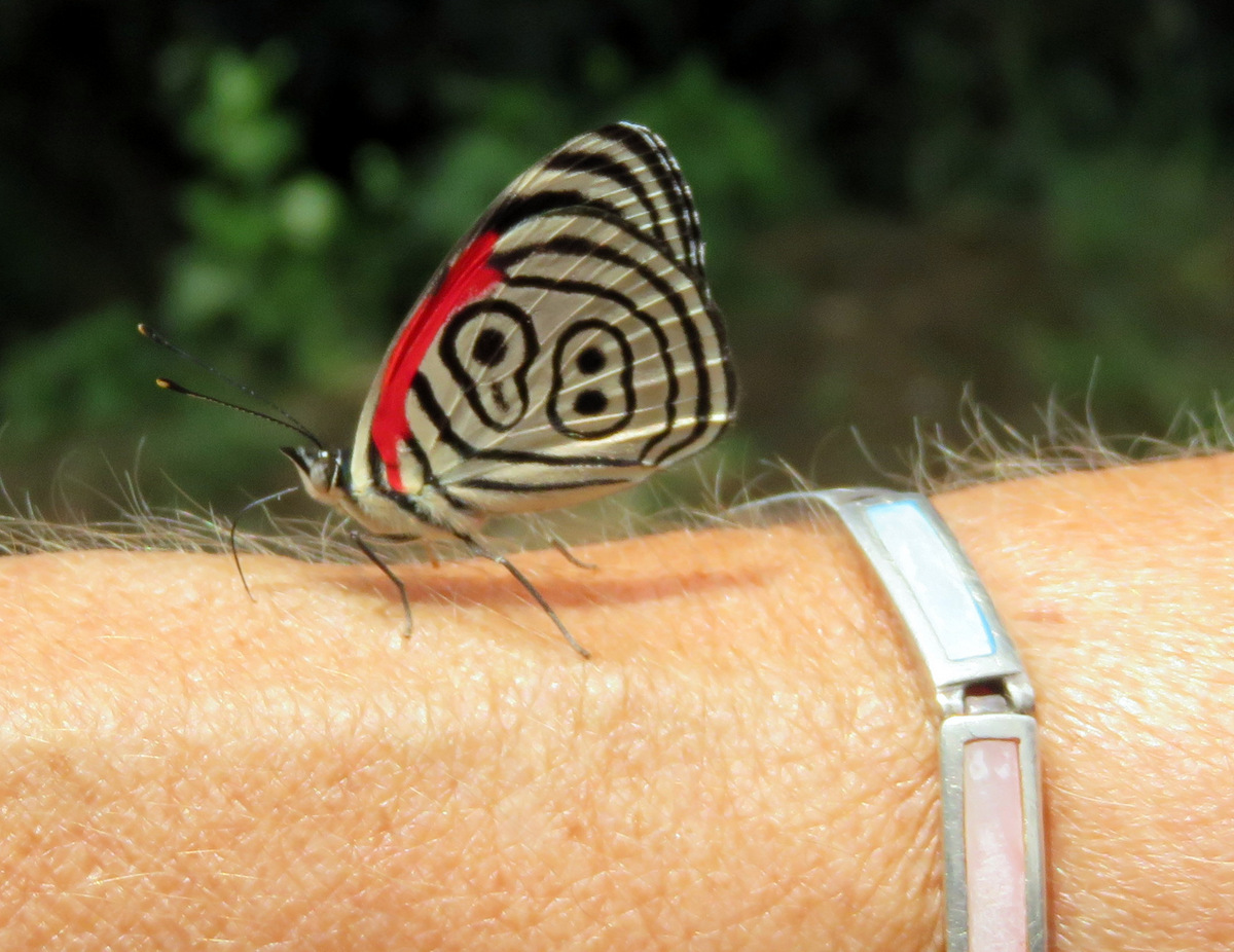
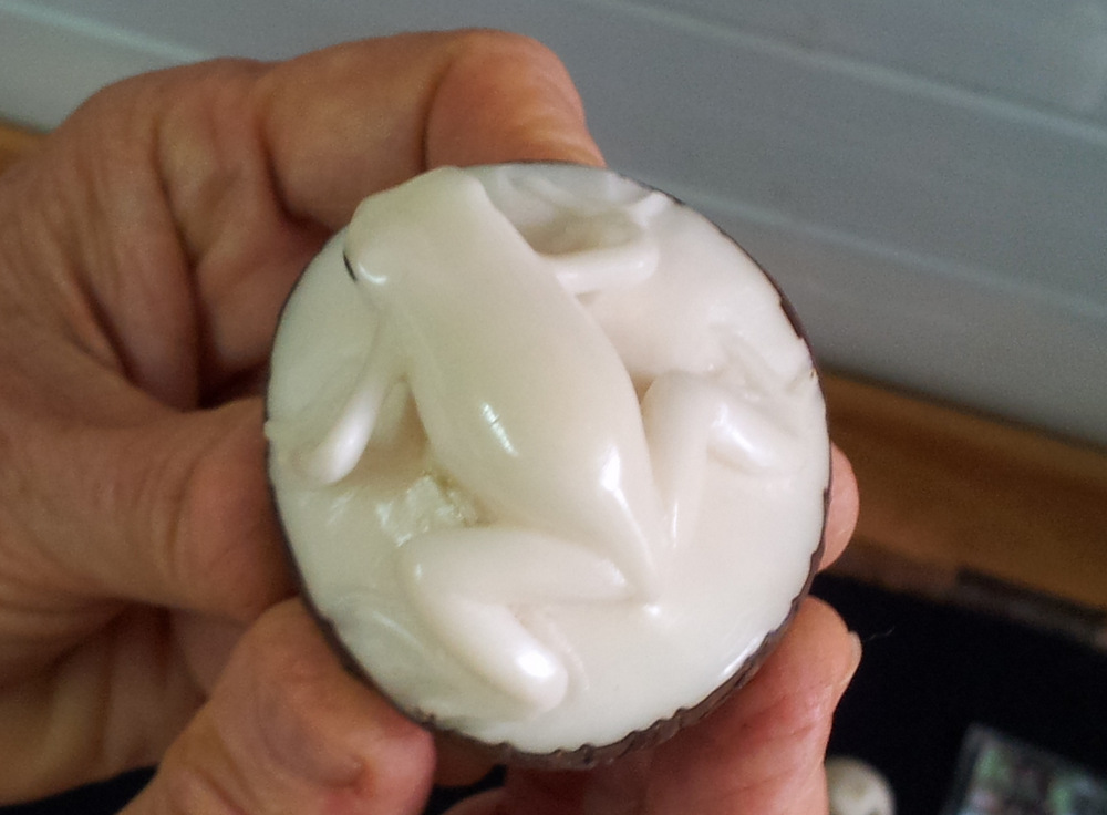
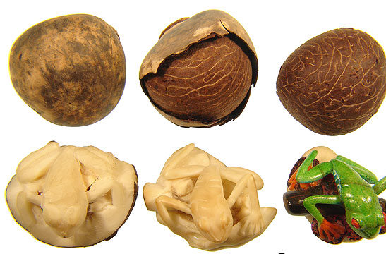
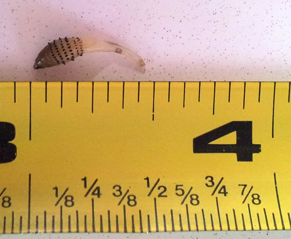
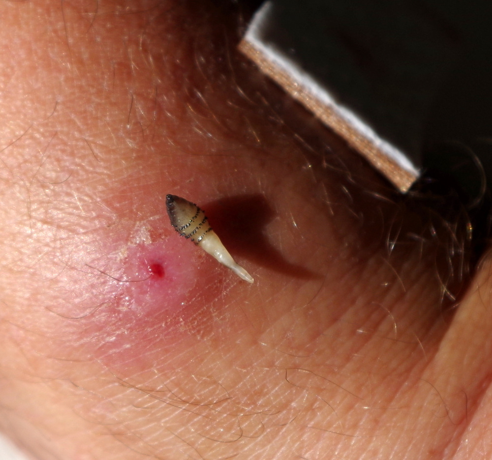
They missed one!
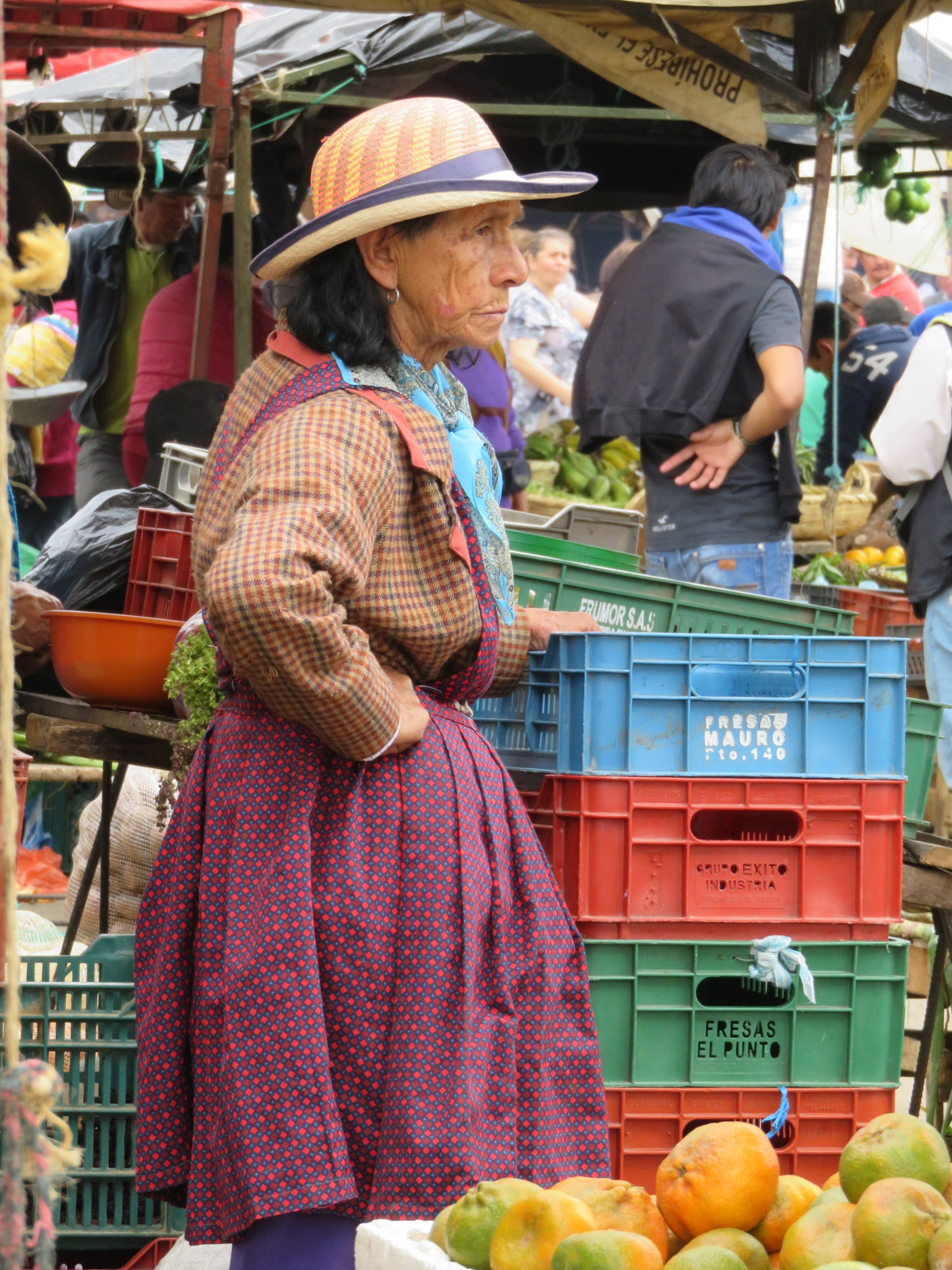
Costa Rica’s eco-tourism industry has been booming in the last few years. I wonder if there is a point where eco-tourism is too much for the shrinking wilderness enclaves. The coasts on both sides (Pacific and Caribbean) are in the hands of North American and European entrepreneurs. I also wonder why it has gotten so expensive since our last visit in 2007, if you go to the grocery store now, you will have sticker shock. (Especially if you come across the border from Nicaragua) It can’t be easy for the locals to pay those high prices.
6. July 2015
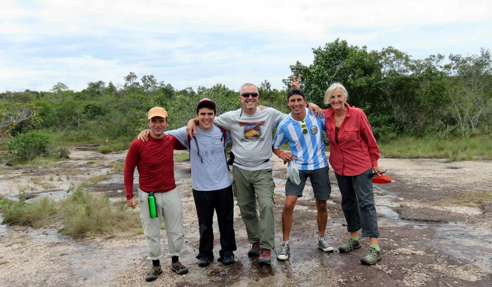
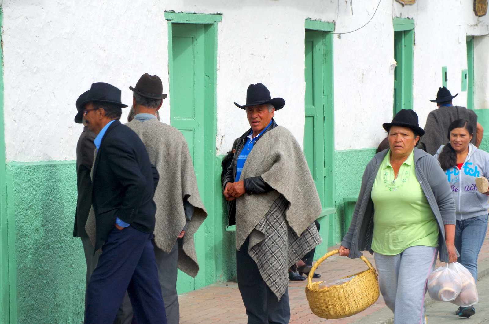
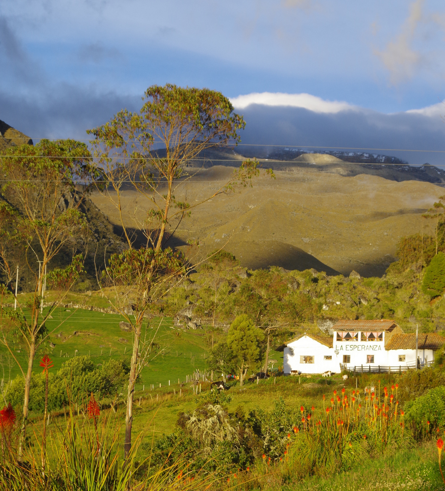
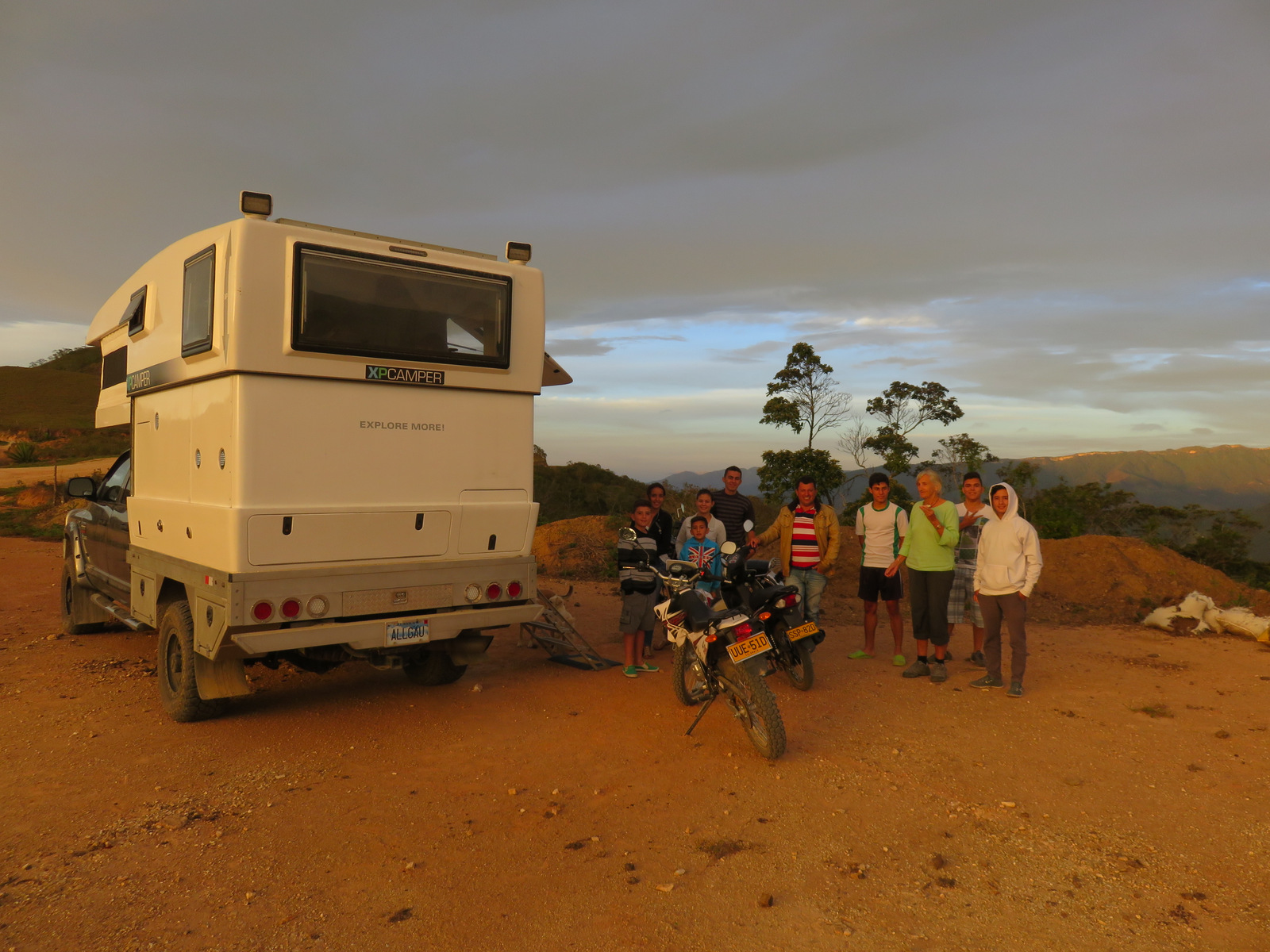
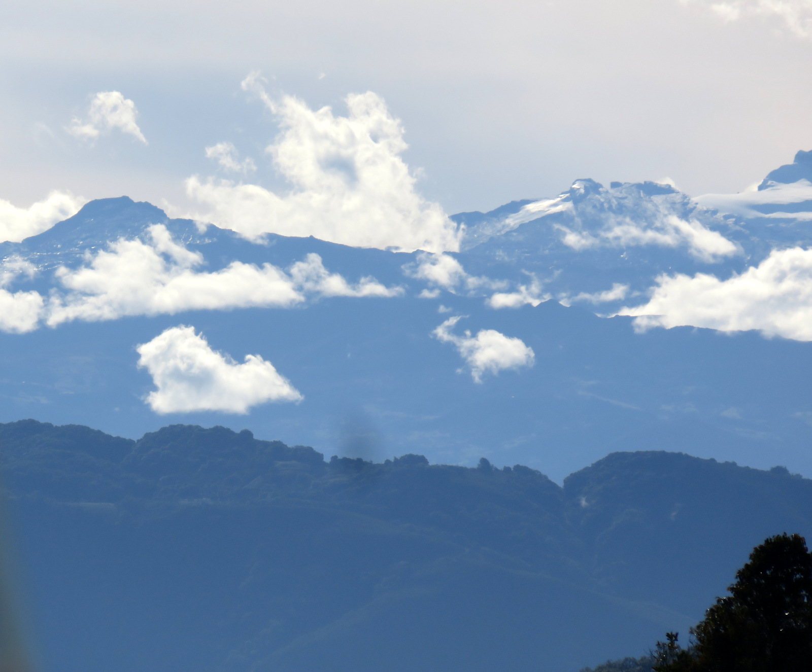
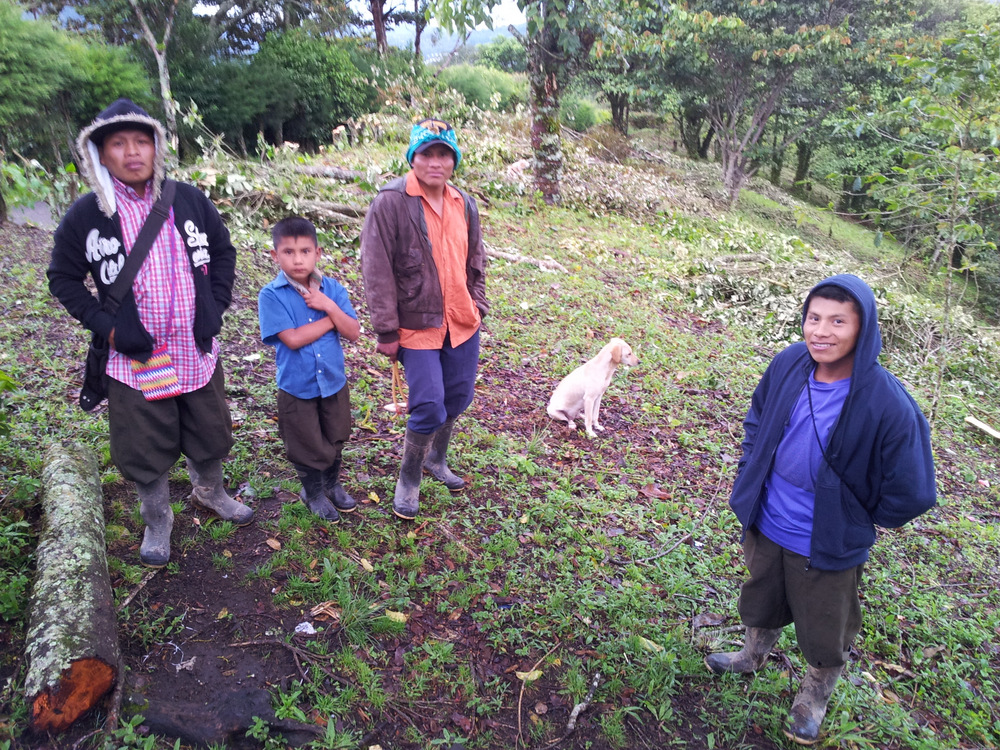
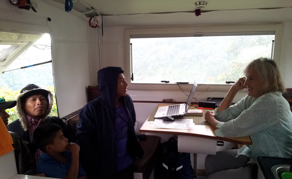
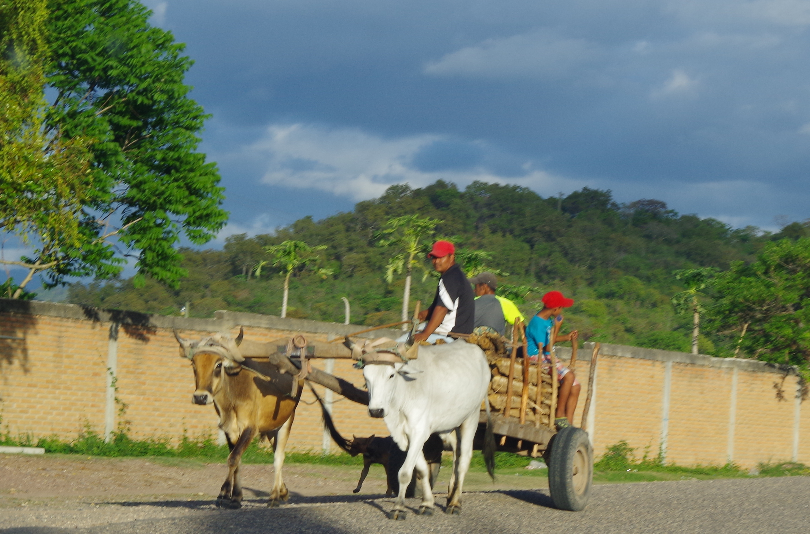
Now we are high up in the mountains above Boquete in Panama, at the end of a road at 1660 m. The view is amazing, volcano Baru out the back window, coffee fields below us, cloud forest above us. A group of indigenous from the Guaymi tribe are eating their dinner in front of our truck, they had been working in the coffee fields all day and a truck came up from town to bring their food. We had them in the camper for quite a while, they were amazed and we gave them some gifts. (Crayons and paper for the kids. Almonds: they did not know what they were, and two Costa Rica guide books: they were fascinated by them)They do not speak much Spanish, neither do we, communication was difficult, but they were very exited and our camper now smells like wood smoke.


