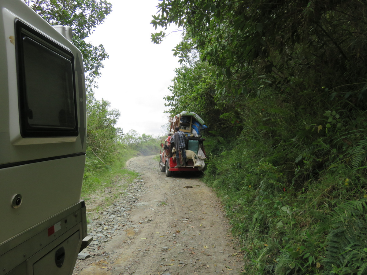
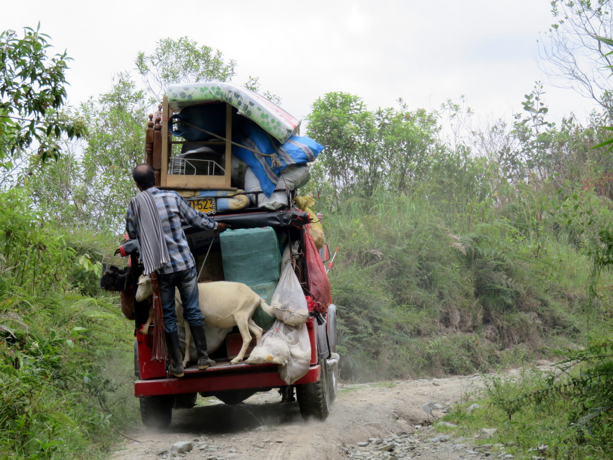
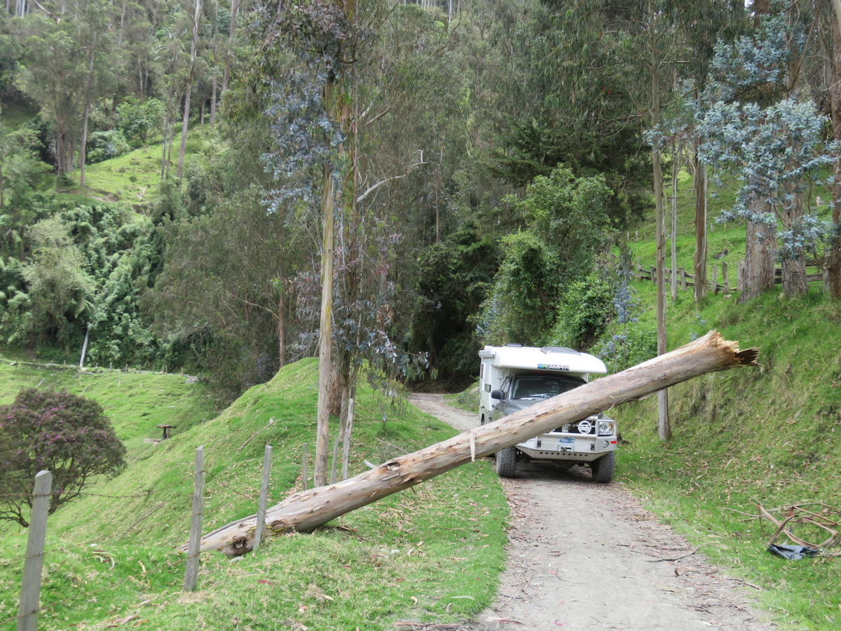
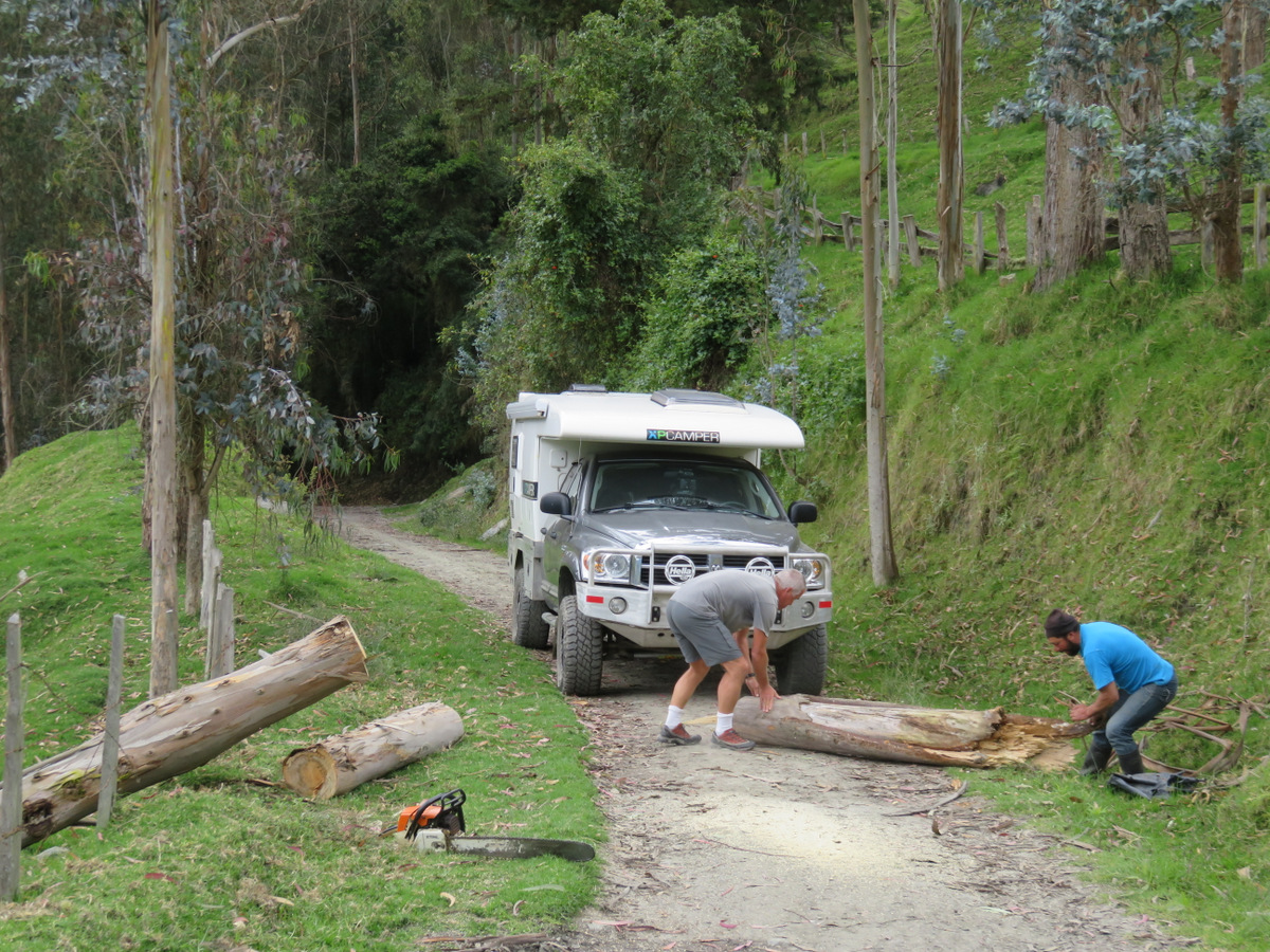
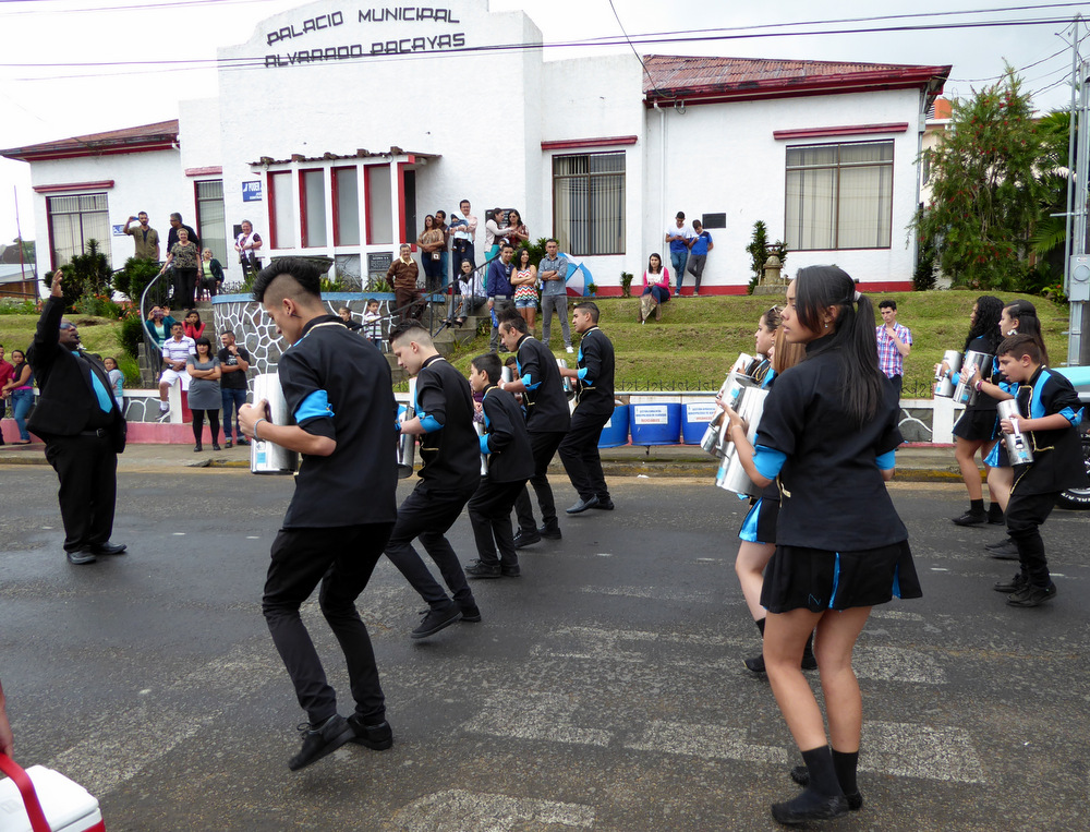
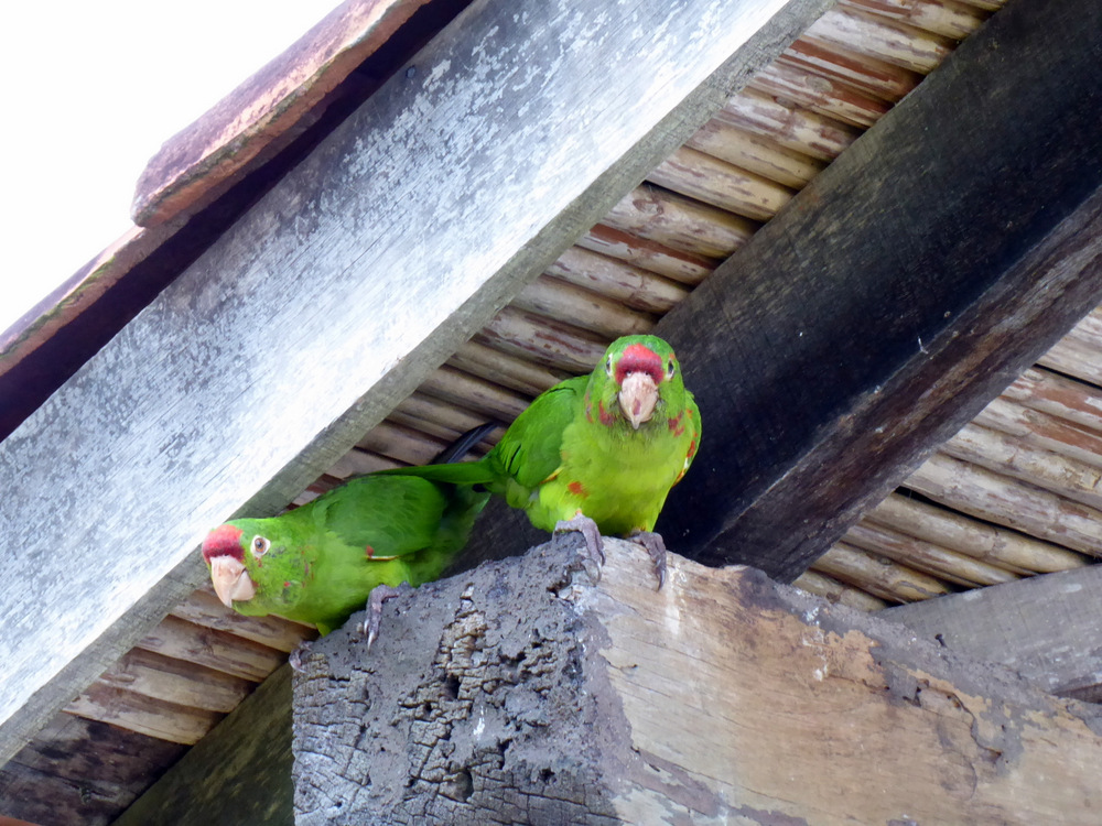
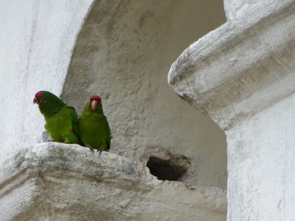
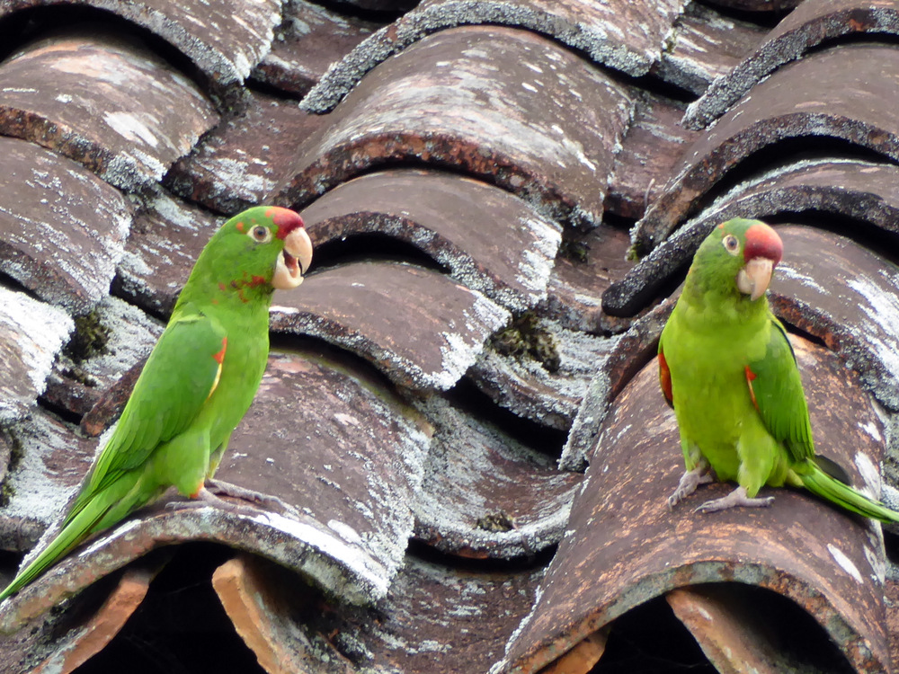
Hola Ecuador

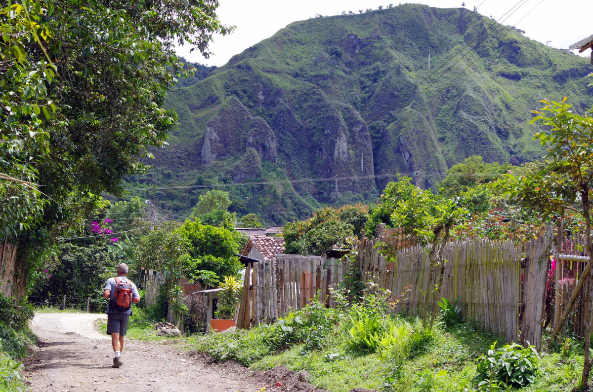
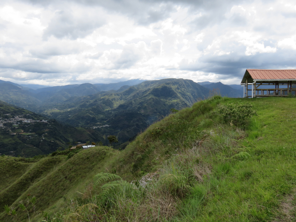
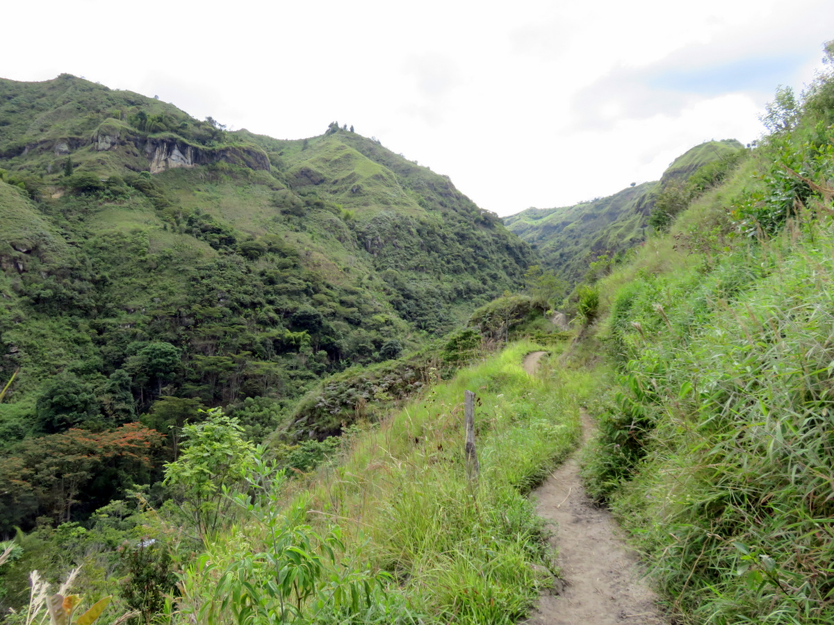
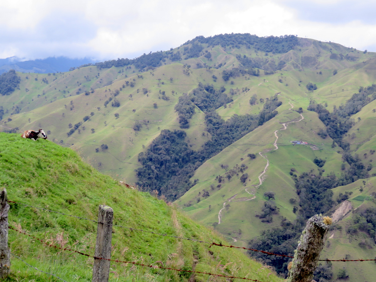
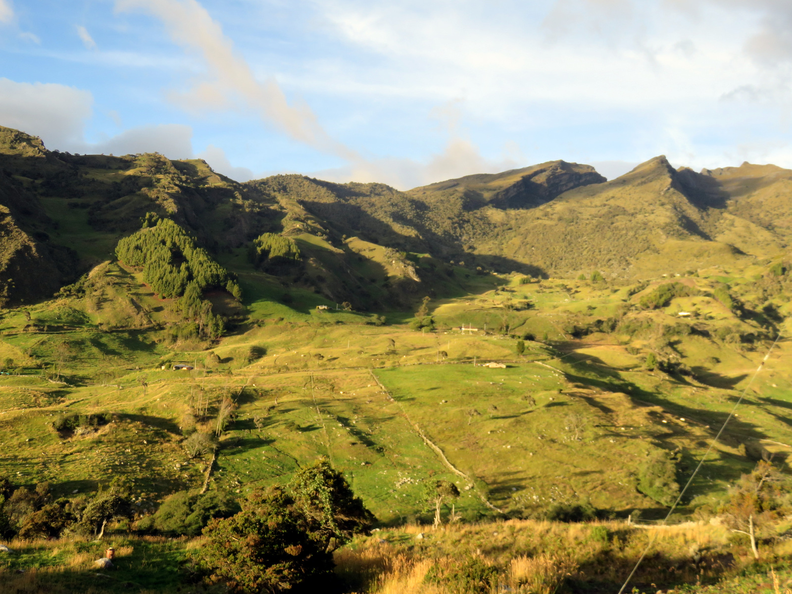
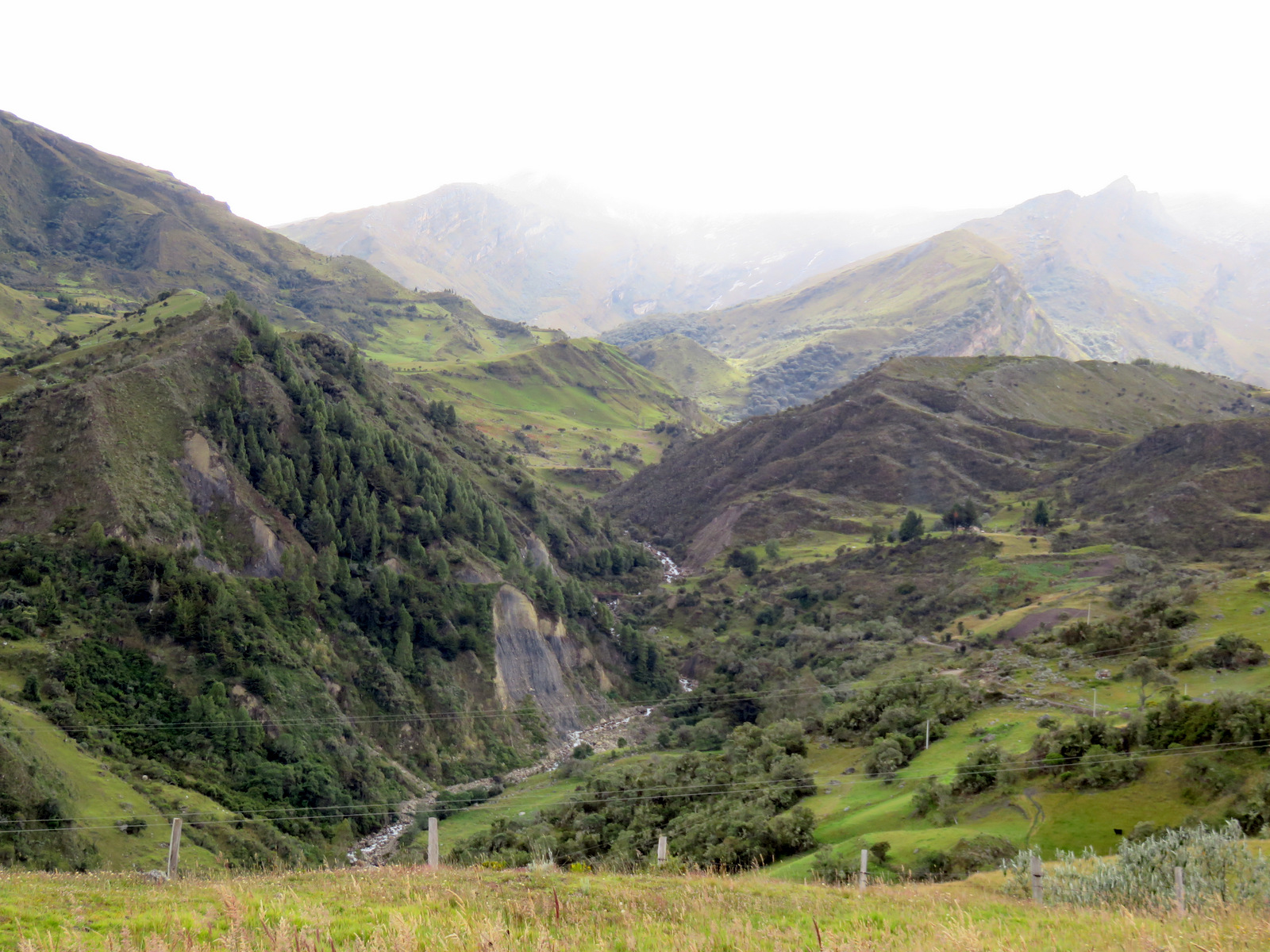
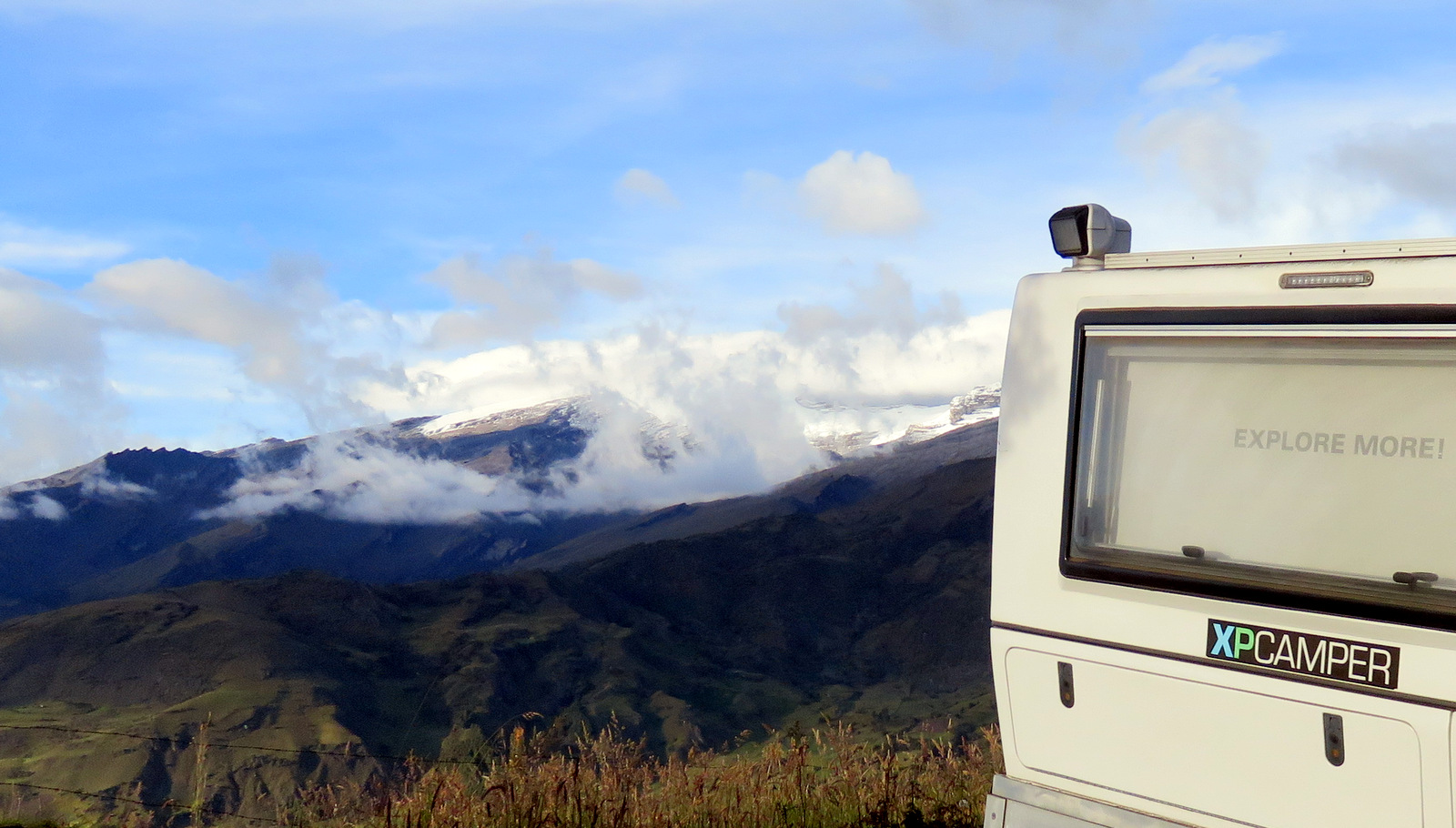
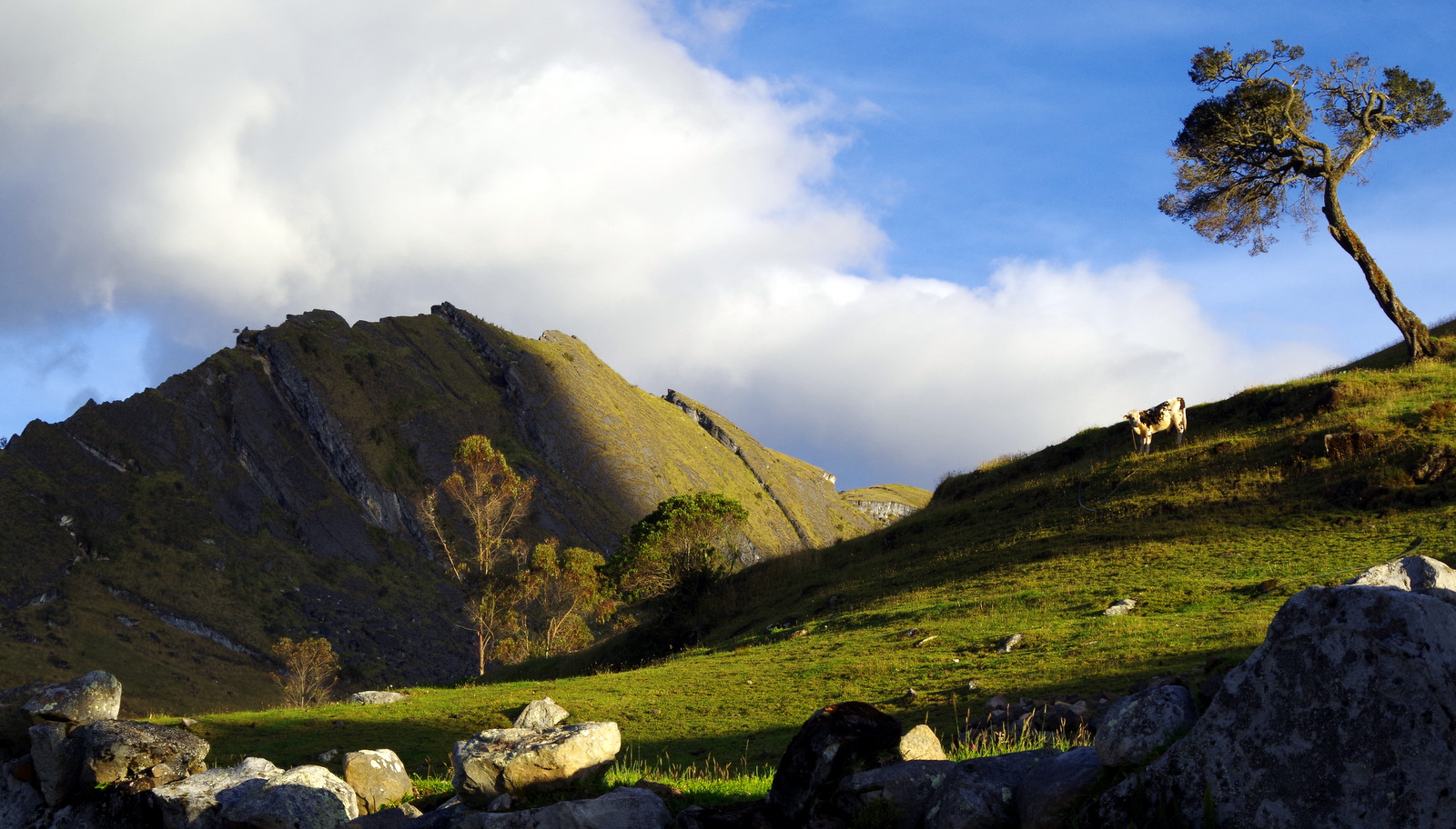
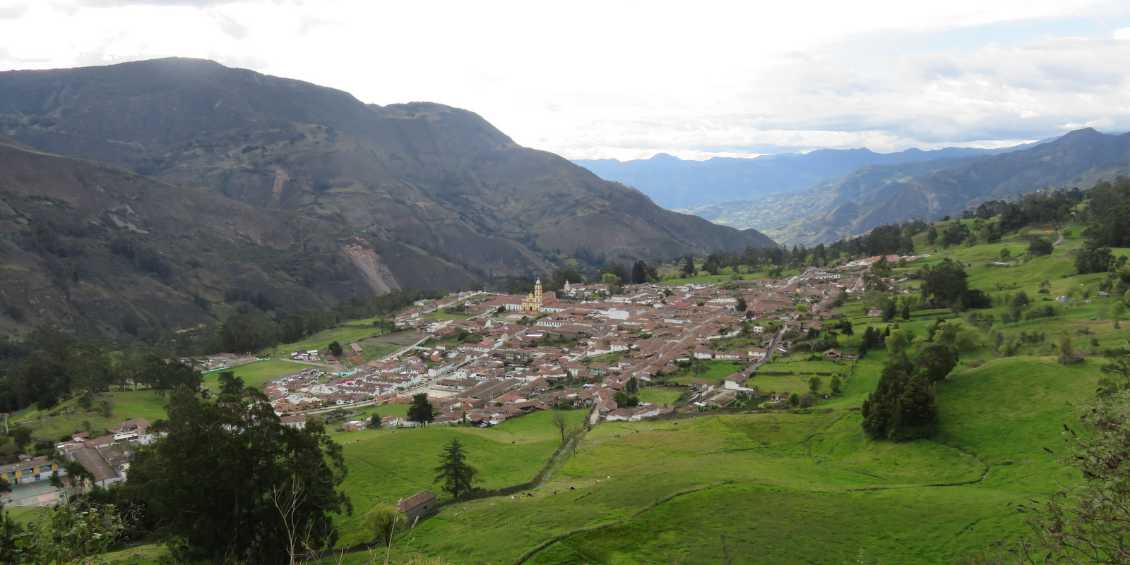
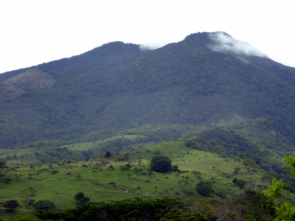
Ecuador, land of  volcanos. “The spine of the Andes” runs through the middle of the country and crosses the equator. To the east the land drops off to the Amazonian jungle, to the west to the fertile lowlands and the Pacific coast. The mountain climate ranges from mild in places like Quito, to cold and colder as you go higher. In the lowlands it gets hot and in places humid. Our first stop was at the Finca Sommerwind near Ibarra. A great place to hang out and regroup. Günter got the tire patched, it had been losing air and we found a nail and a screw in it. He rode the bicycle around the lake a few times and to the store while I was lazing around the finca.

IMG_1800

IMG_1802

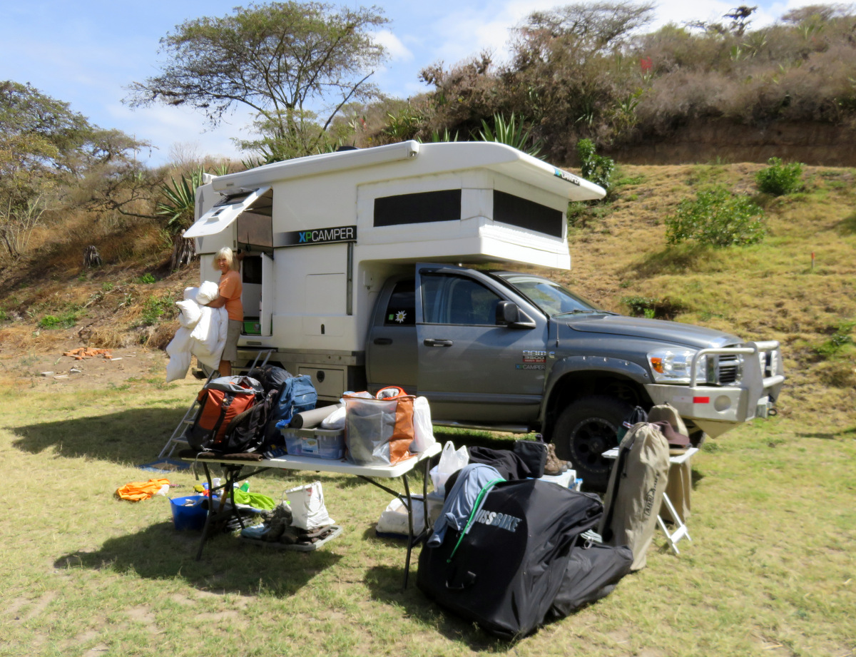
Spring cleaning!

IMGP4757 IMGP4755

IMG_1877

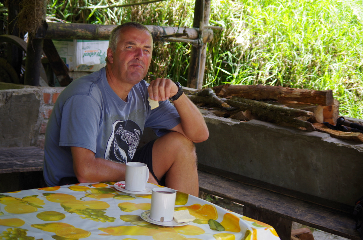
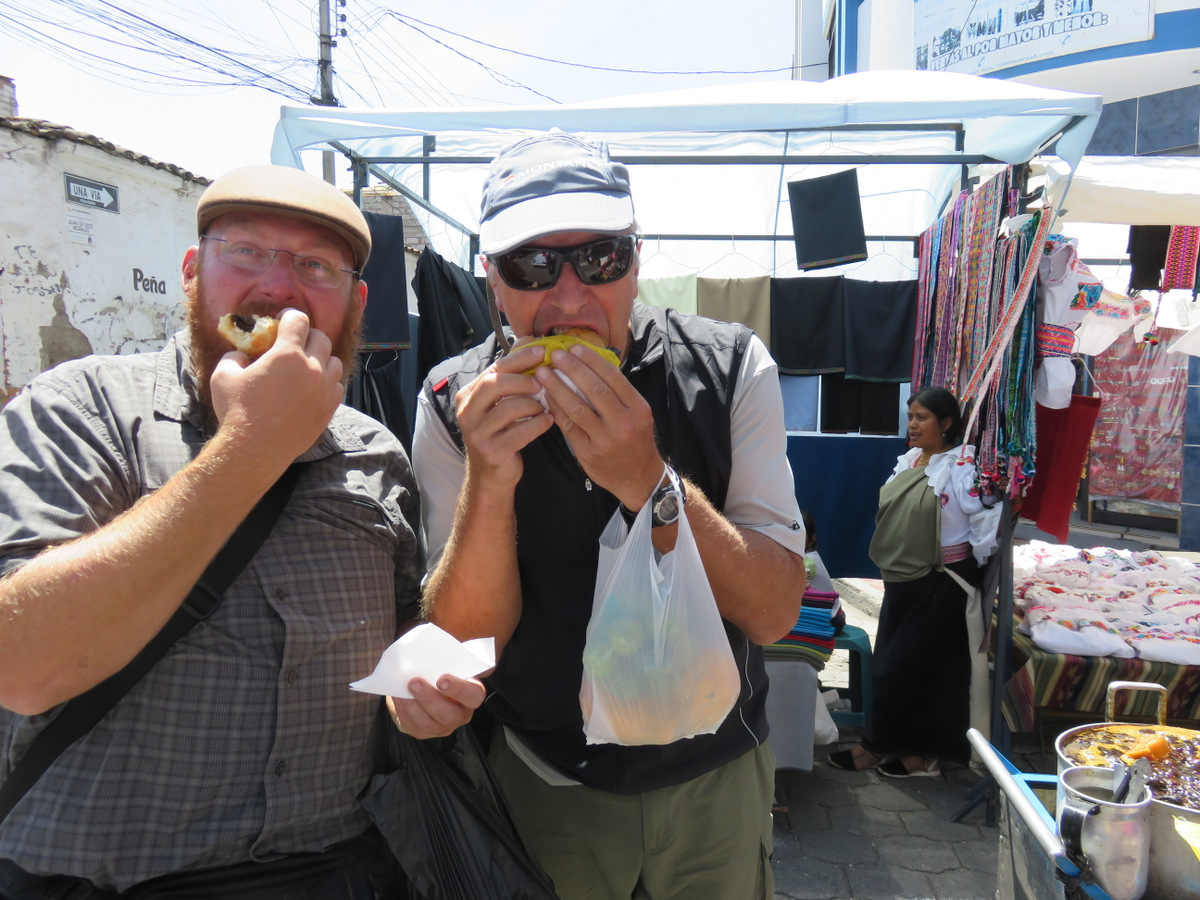
Stewed plums and cheeses sandwich! Delicious, really!
IMG_1879

Christian und Günter testing the plum-cheese Sandwich!
IMG_1872

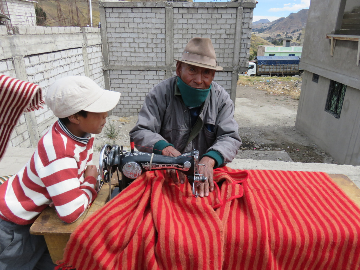
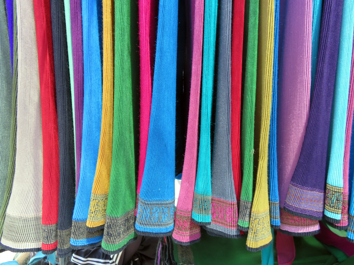
Skirts, pleated.

IMG_1870

IMG_1832-001

I love that Picture!

IMG_1825

Couldn’t pass them up.

IMG_1824

IMG_1860

Crashed a wedding again….

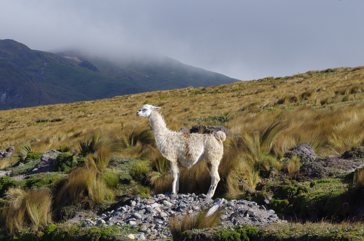
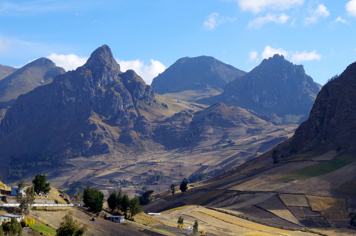
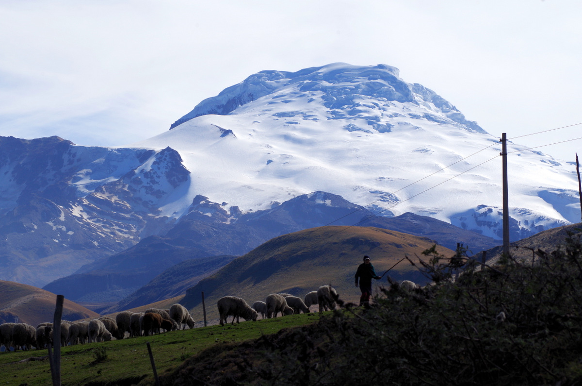
After a visit to Otovalo we drove to volcano Cayambe, crossed the equator a few times and then spent a few days at Quilotoa crater lake. More than ten years ago we had been there as backpackers and at that time only a ramshackle building stood on the wind-swept plain near the crater. Now there is a thriving tourism infrastructure, artisan shops, restaurants and places to stay. What a difference. Tourism has a dark side as well of course and we found out quickly that if you try to take a picture of an alpaca, lama or people you are told that you have to pay in no uncertain terms. Well, my alpaca photos were free, but it takes the fun out of an experience if you leave an angry person behind.
IMGP4787

Cayambe

IMGP4791

IMGP4802


IMG_1947

IMGP4776

Hard to see, but the white stuff on top is the glacier.
IMGP4765

IMG_1943

IMG_1937

Refugio

IMG_1935

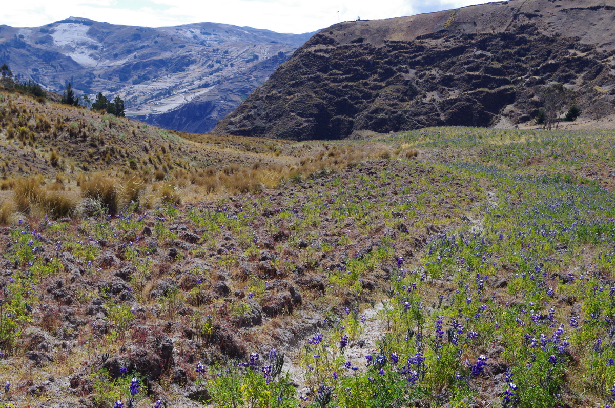
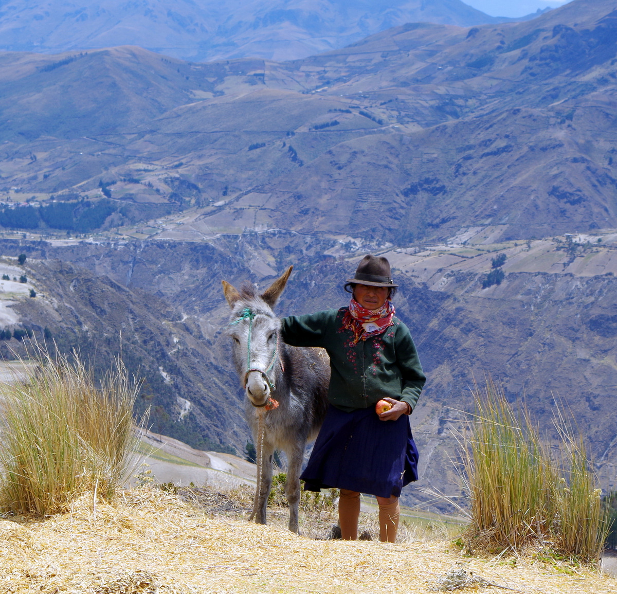
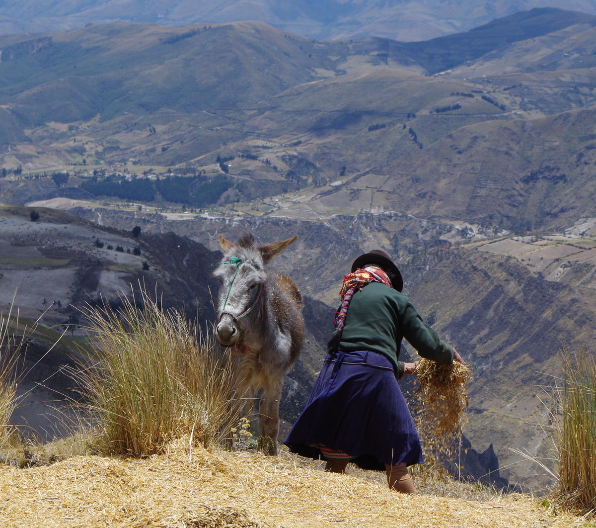
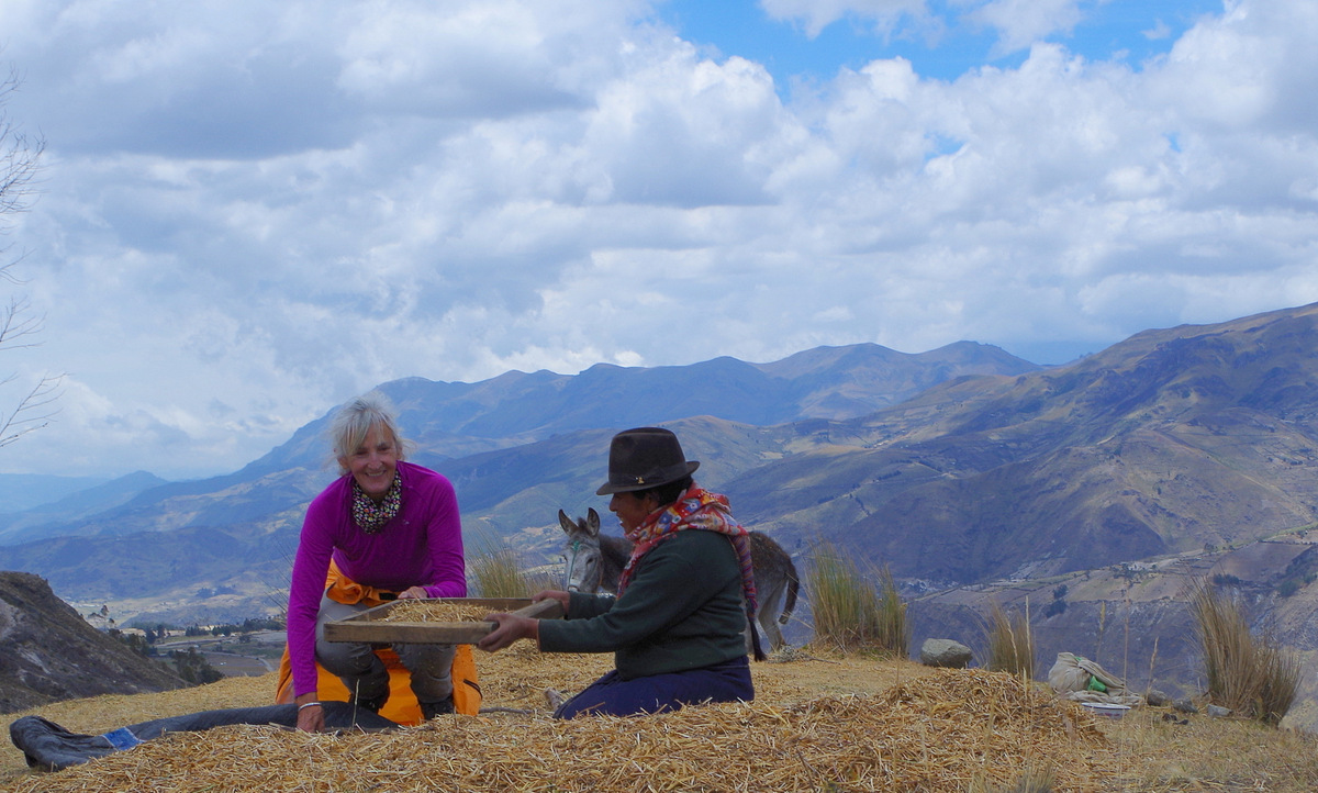
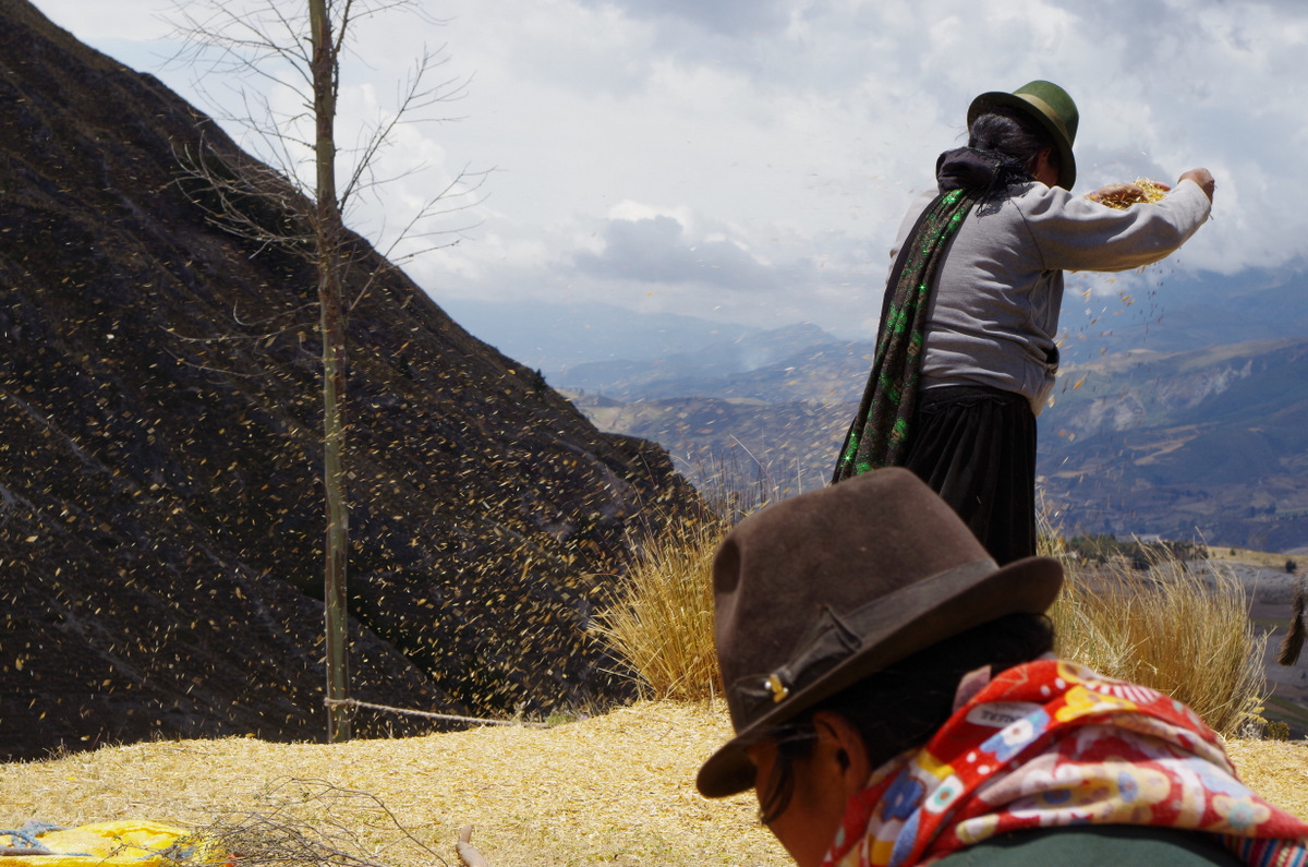
Günter wanted to hiked around Quilotoa crater and decided to go my own way and followed a foot path down through steep fields of lupins to a little settlement at the edge of the canyon. From there I climbed back up to a ridge. The air is thin at almost 4000 m, so it took me a while. On the ridge a woman was threshing her lupin harvest and after I watched her for a while I asked her a few things about the beans. They are called chochos and taste very good, need to be soaked and boiled first (with lime?), she also grinds them into flour. It is a form of domesticated lupin. Anyway, I shared the better part of my lunch with her and then helped her with the threshing( I actually developed two blister on my hand ) Finally a friend of hers came down the ridge and brought lunch, potato soup. Meanwhile Günter had called me on the radio to let me know that he was back from his hike, so I bid my farewell. At the camp site we were met with a nice surprise, Vroni and Michael as well as Lise and Laurent had arrived, friends and fellow overlanders. We built a fire in the evening and exchanged stories about our trip.

IMG_1994

Quilotoa crater lake.

IMG_2015

The trail around the lake.

IMGP4826

Lupin fields .

IMGP4809

The canyon.

IMGP4833

The apple was part of my lunch….

IMGP4848

IMGP4852

IMGP4860 IMGP4865

IMGP4808

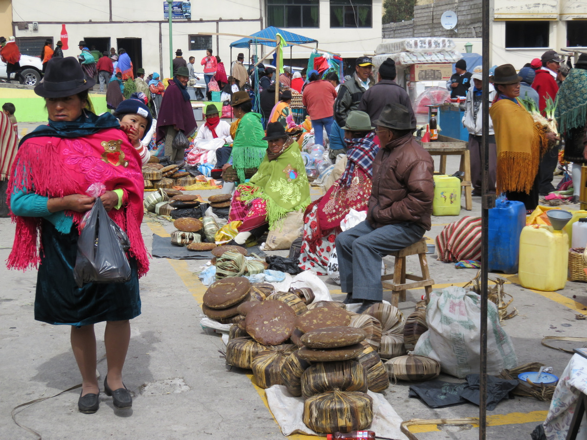
Before we left the area we went to the market.

IMG_2096

More pleated skirts.

IMG_2081

I never lose Günter.

IMG_2065

That’s brown sugar

IMG_2061 IMG_2092 IMG_2067 IMG_2064

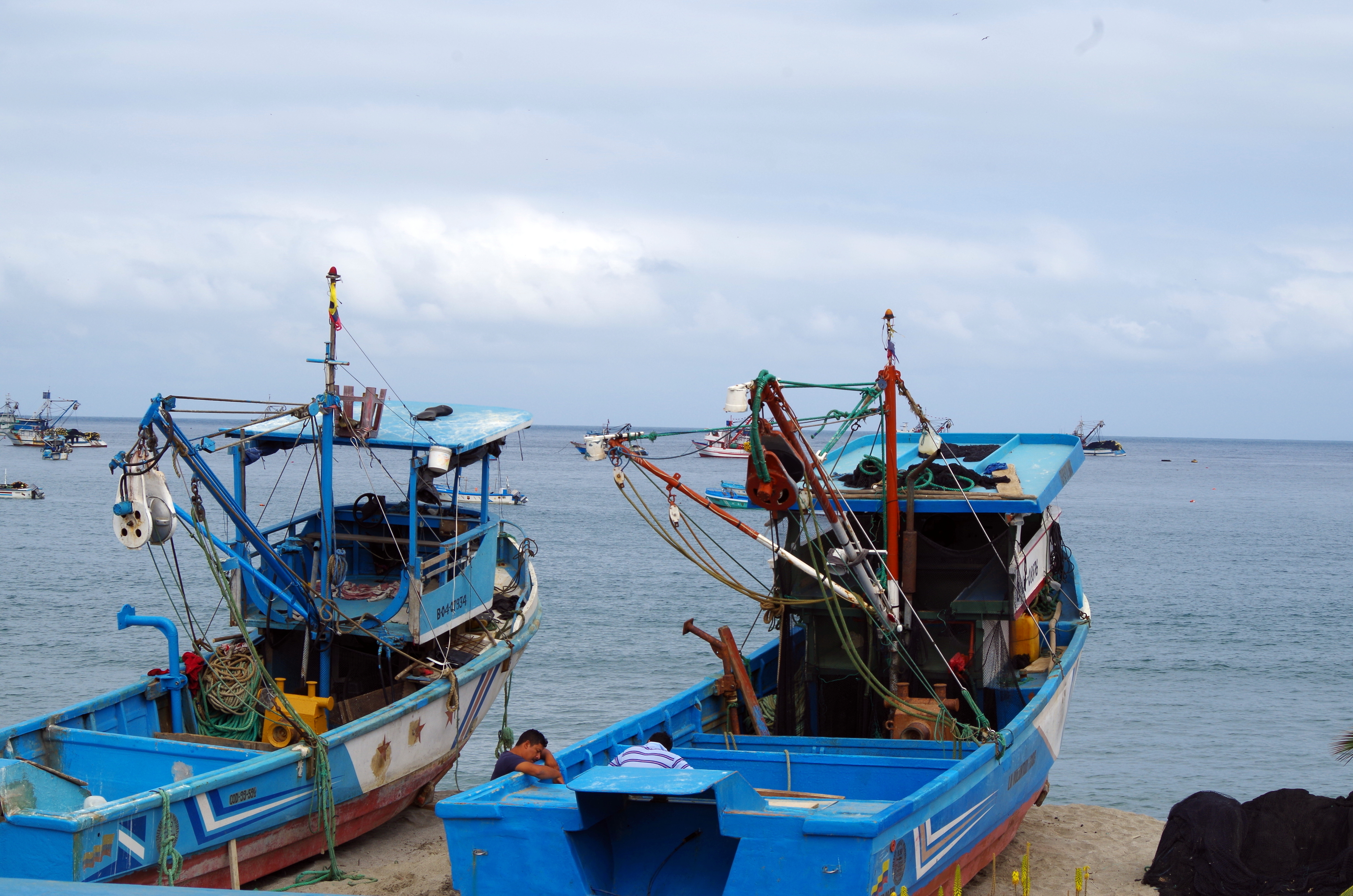
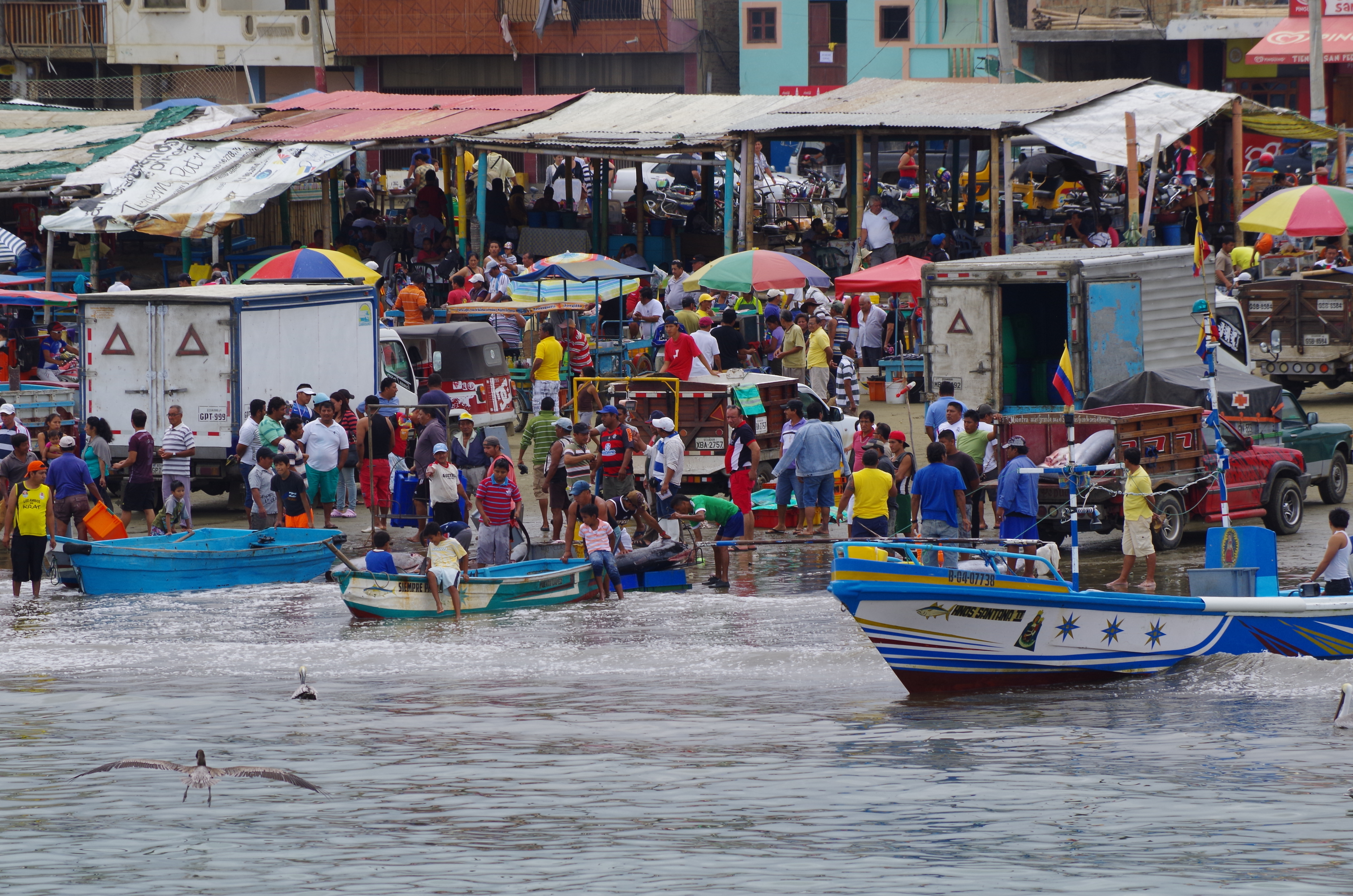
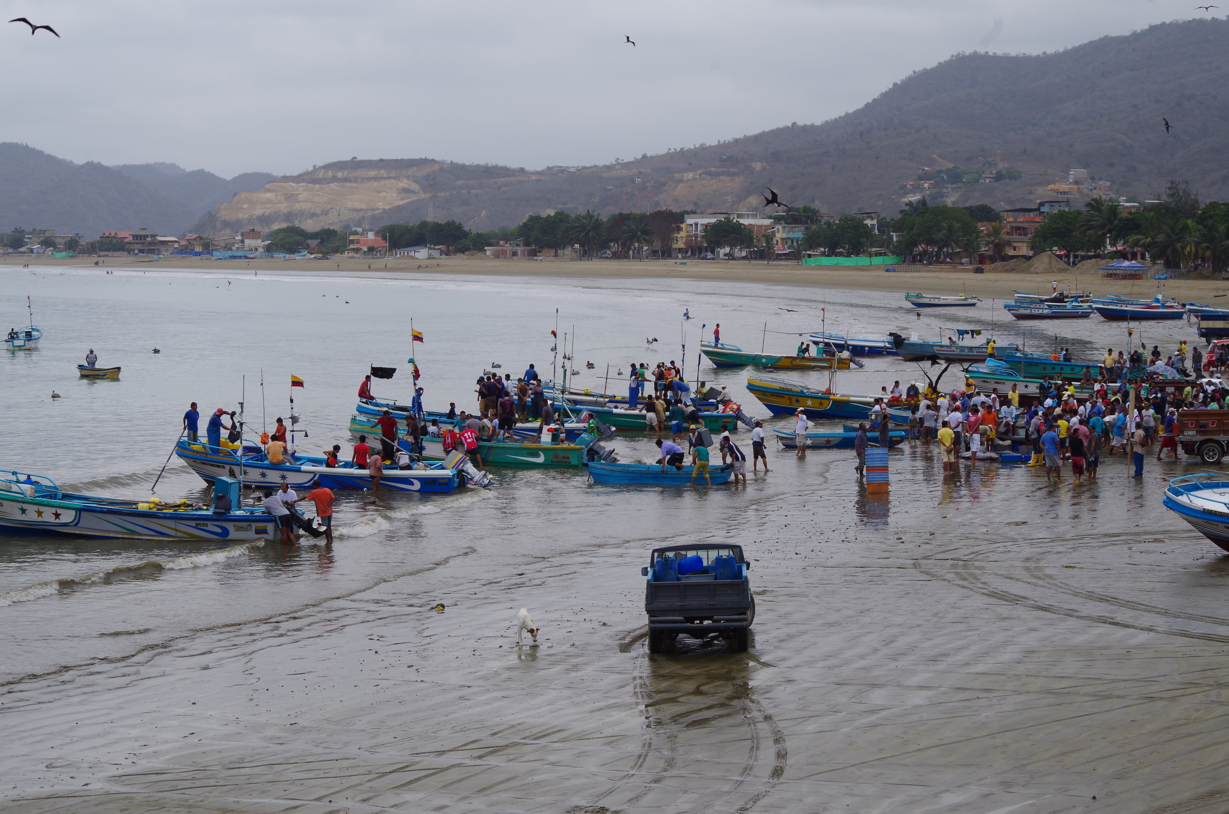
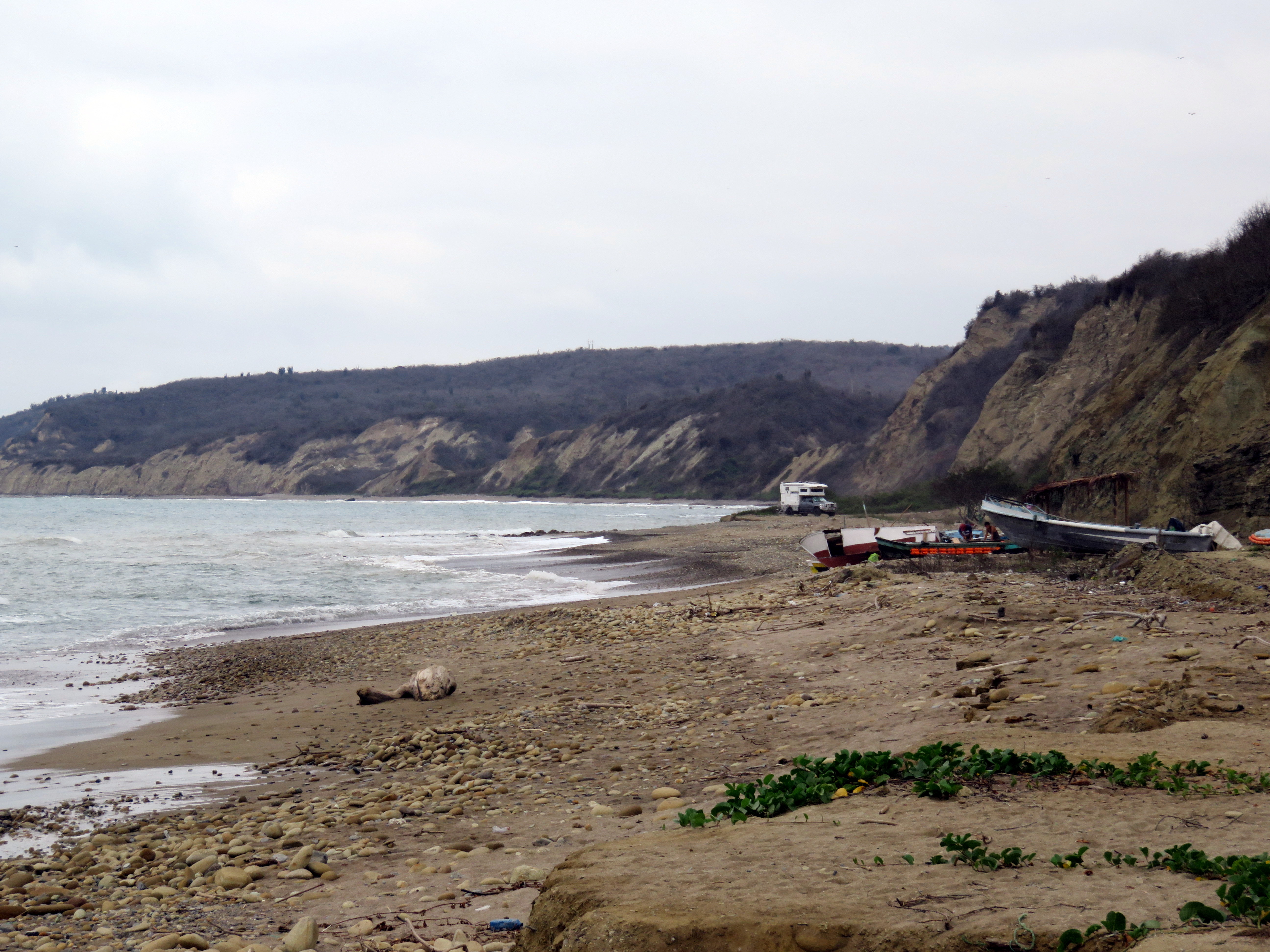
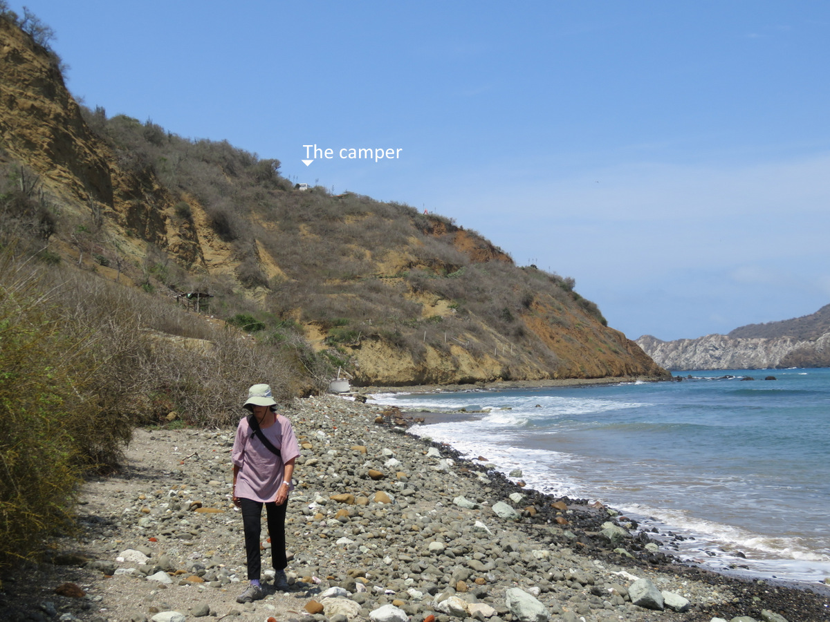
Since we had not been on a beach since Central America and felt like eating some fresh fish we decided to go down to the Pacific coast. Puerto Lopez is a busy fishing town and we spent a lot of time looking at boats and nets, talked to fellow fishermen and of course ate lots of fish, especially ceviche. The seiners were laid up, but there were gillnetters and longliners, fishing out of small boats, they brought in all kinds of little fish and many large billfish. We camped at Isla Mar, on a bluff overlooking Salango, an even smaller fishing town. At the edge of town is a fish meal factory and the main employer. They produce fish meal for pellets to sell to the Chilean farmed salmon industry. With its perfect crescent beach full of pangas, a rock out cropping and the fish factory at the end , Salango reminded us of Cabo San Lucas on the Baja 35 years ago. When we first went there many years ago, this is what it looked like and yes, Cabo had a smelly tuna cannery at the edge of town.
IMG_2126

Pueblo Nuevo beach.

IMGP4901

Wild camping at its best!

IMG_2132

The well.

IMG_2121

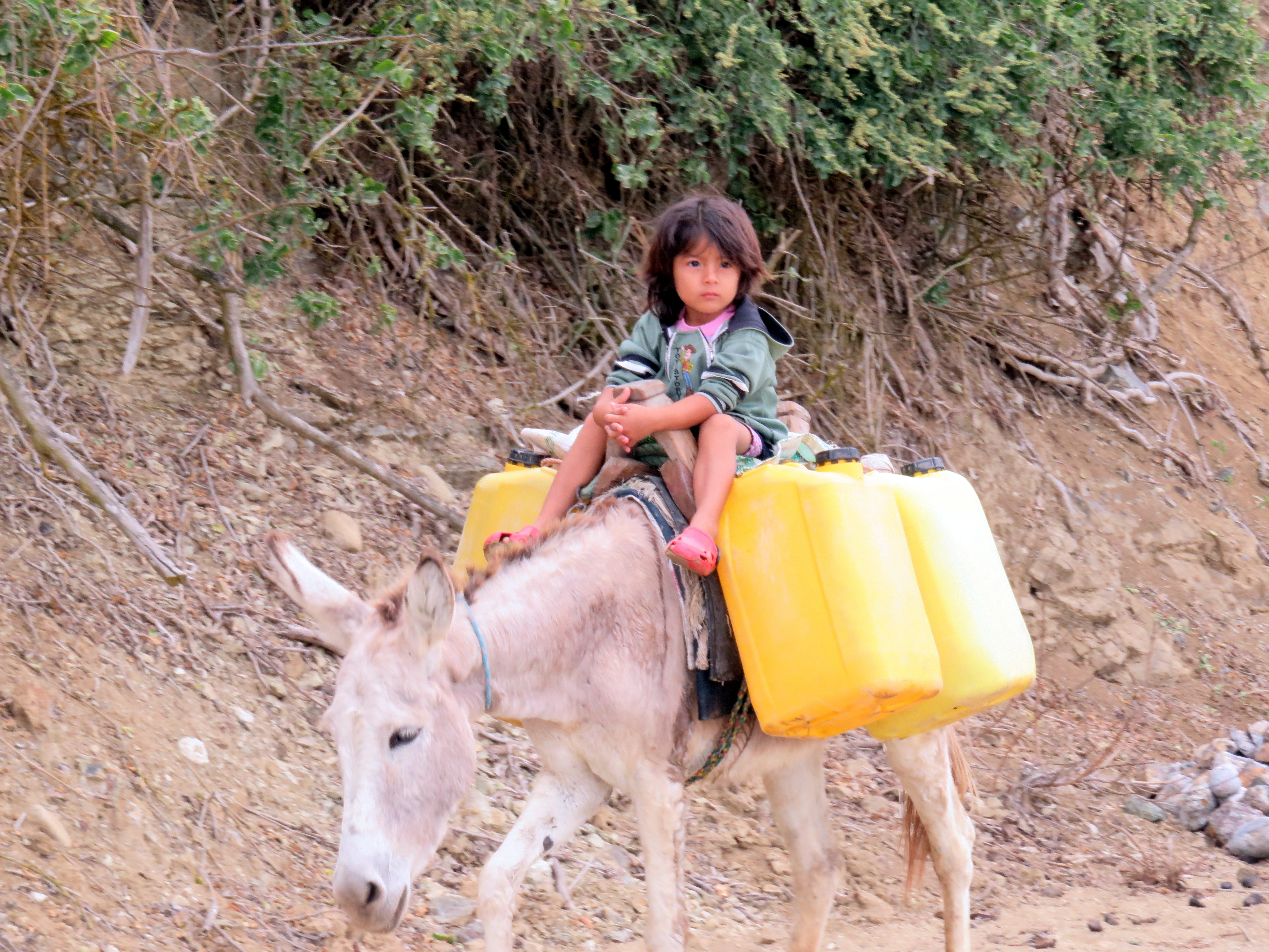
Water transport.


IMGP4935

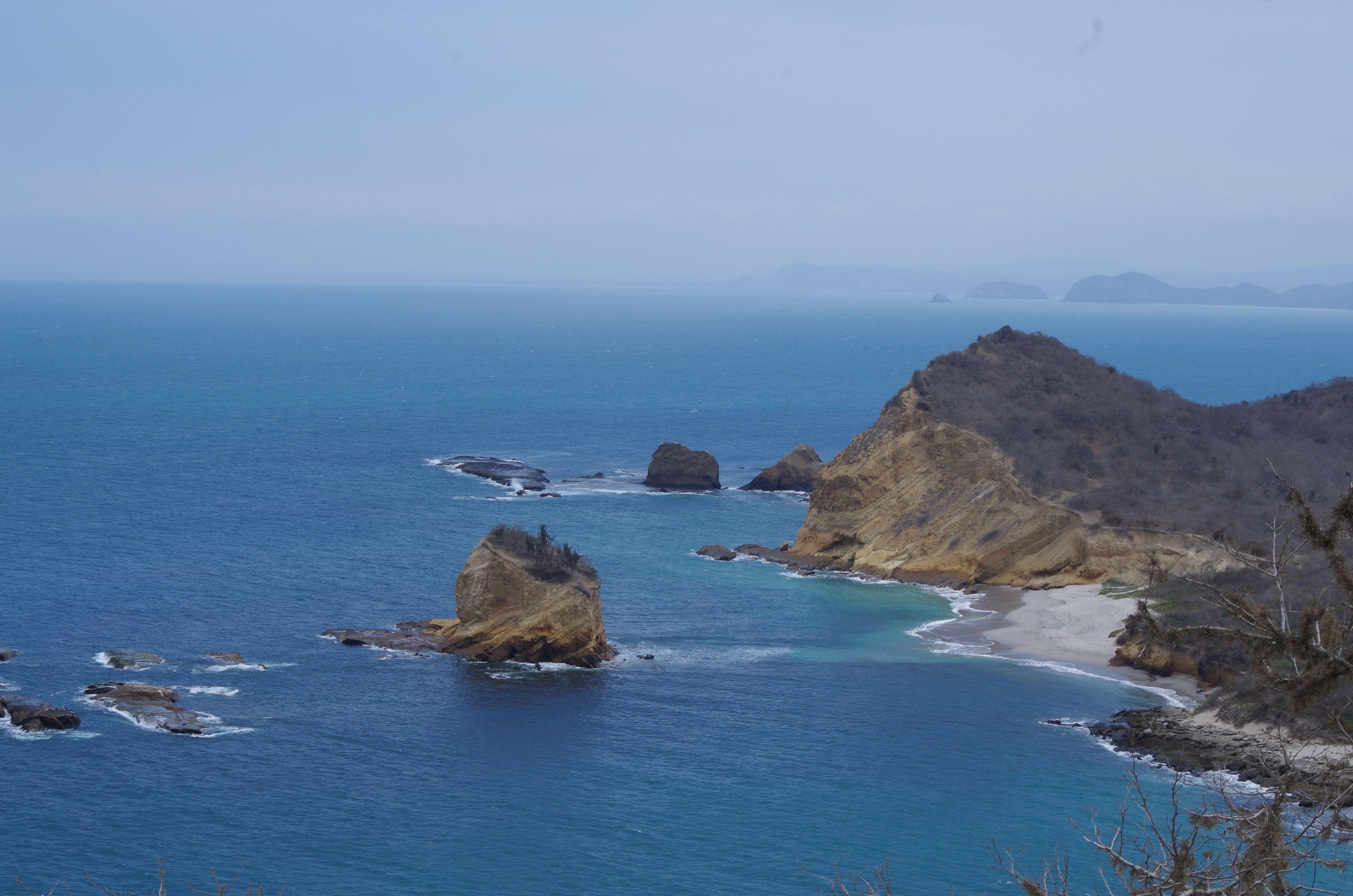
Los Frailles.

IMG_2160

IMG_2162

IMGP4918

IMGP4917

IMG_2219

Its bill fish season.

IMG_2234

IMGP4952

IMGP4947

Unloading

IMG_2215

IMGP4938

Salango with fish meal plant on the right. This was the view from the camper.
IMG_2190

Walking into town.

IMG_2193

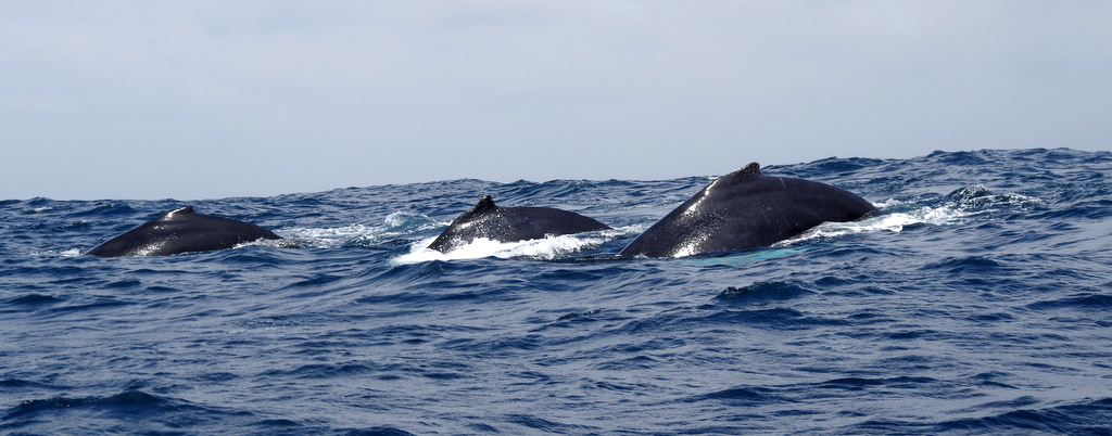
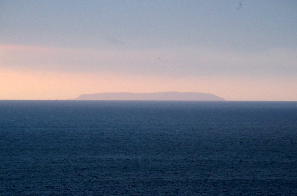
A boat trip to Isla de la Plata is a must if you are here and have time. The humpback whales hang out here to mate and have their young. Like our Alaskan humpback do in Hawaii.

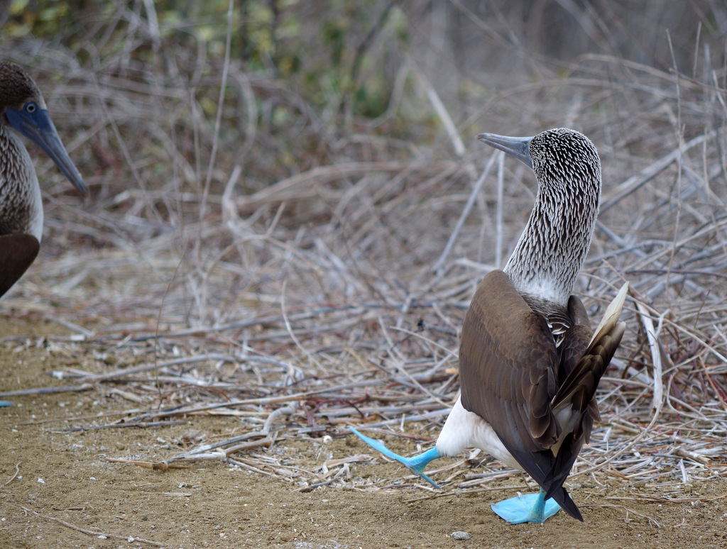
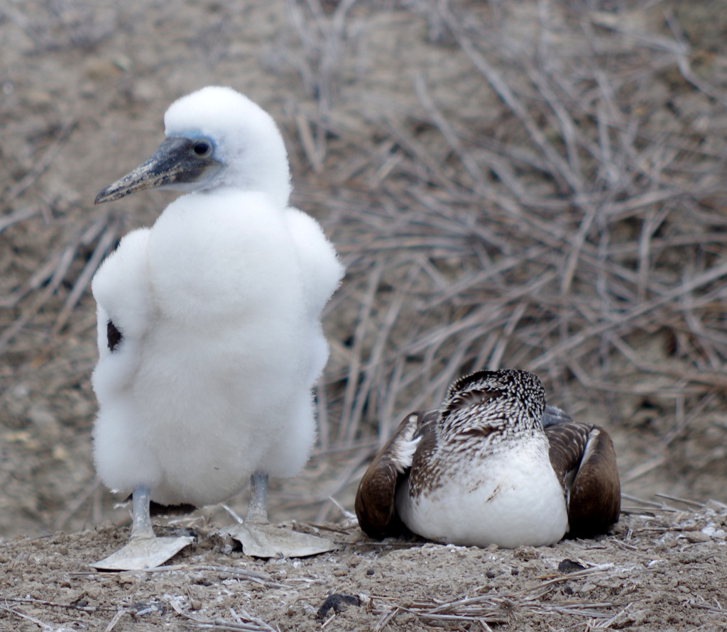
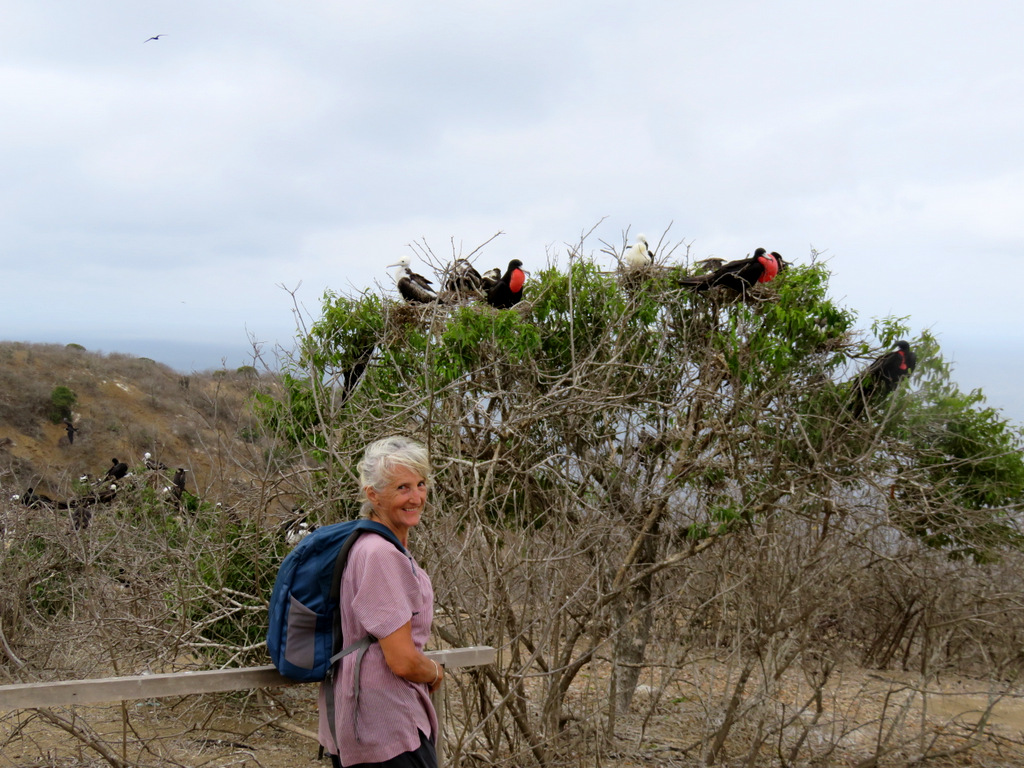
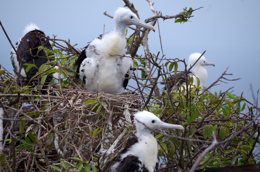
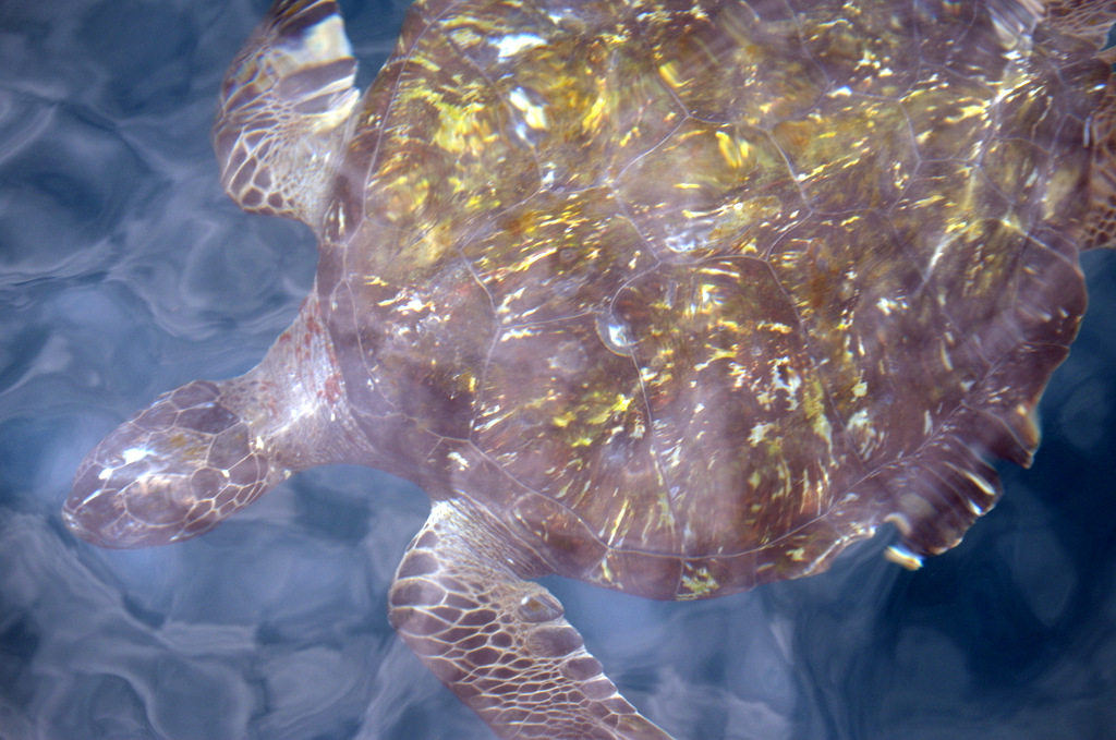
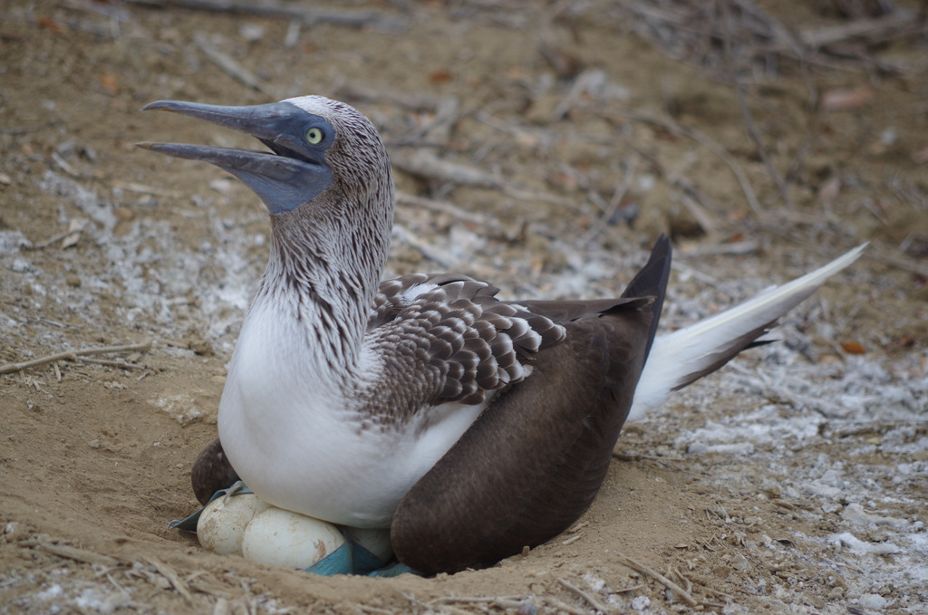
The island is 40 km off shore and there were fourteen of us on the boat, the sea was rough and some people got seasick. We saw a pod of six whales, most of them have left for the south and the antarctic summer. The hike on the island was nice and it was fun to watch the blue footed boobies and frigate birds. There are a few albatross pairs but we were not allowed to go to their habitat, they do not do well with humans. Before we headed back to the mainland we went snorkeling, there are a few tropical fish and some turtles. I just enjoyed swimming in the sea again and did not bother with the snorkel part.
IMGP5049

Isla de la Plata

IMG_2273

IMGP5008

Balztanz

IMGP5011

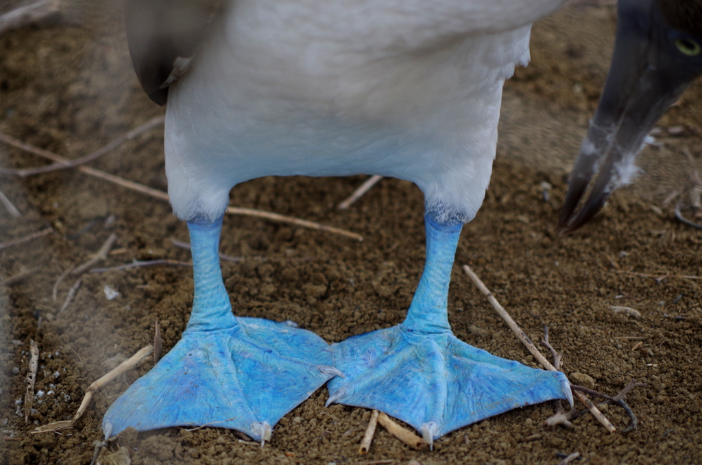
Yes, blue footed boobies (Blaufusstölpel)
IMGP5012

IMGP5042

IMGP5038

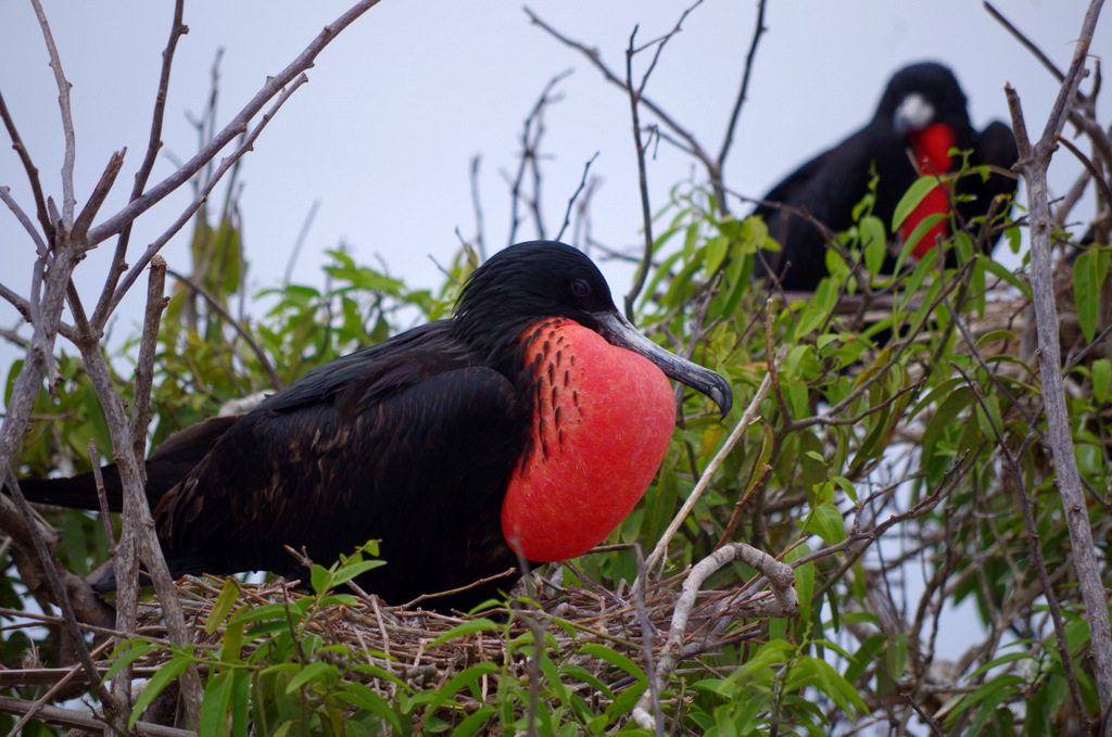
Frigat bird hombre.

IMG_2279

IMGP5019

has a bulb……

IMGP5029

IMGP5006 IMGP5007

IMGP4965 IMGP4985


IMGP4999

IMGP5046

IMG_2240

The pukers in the back…..

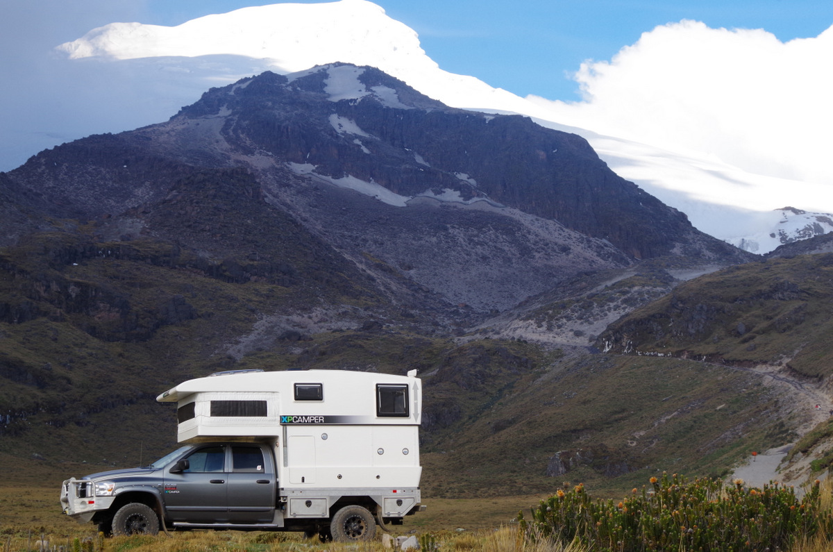
Today is September 29th, time flies and spring starts in the south. We are parked at the entrance to Chimborazo National Park. After wo days camping at Chinipamba, a little indigenous settlement at the foot of the volcano we drove higher today. Need to acclimate to the altitude, tomorrow we will go higher and then maybe hike to 5000 m.

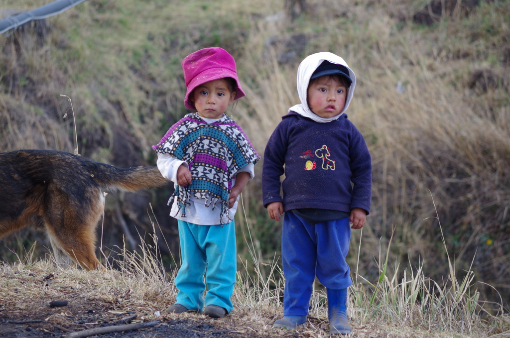
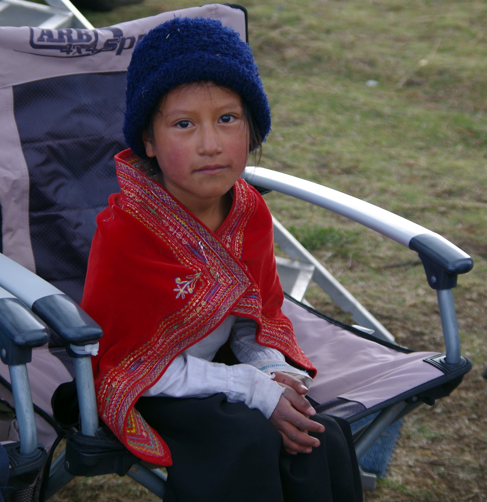
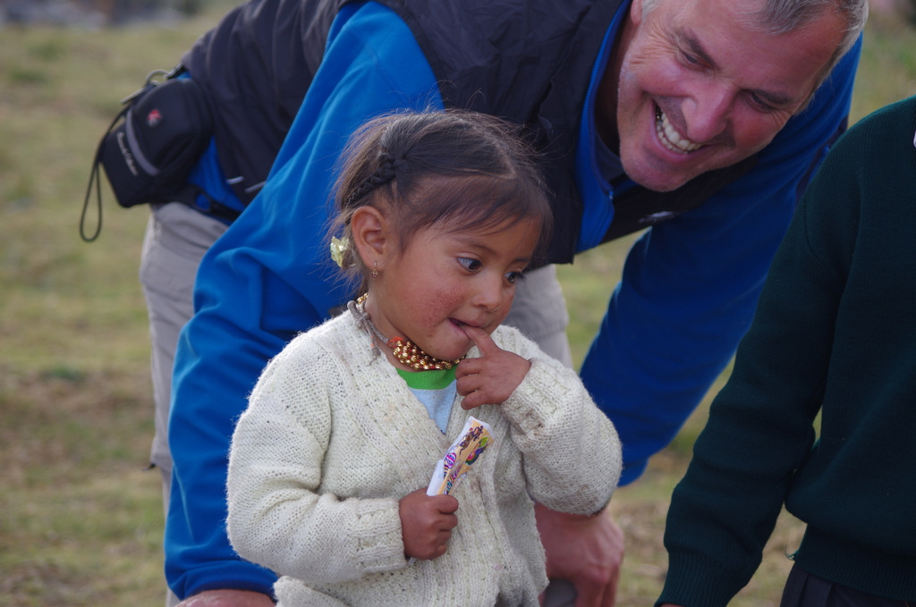
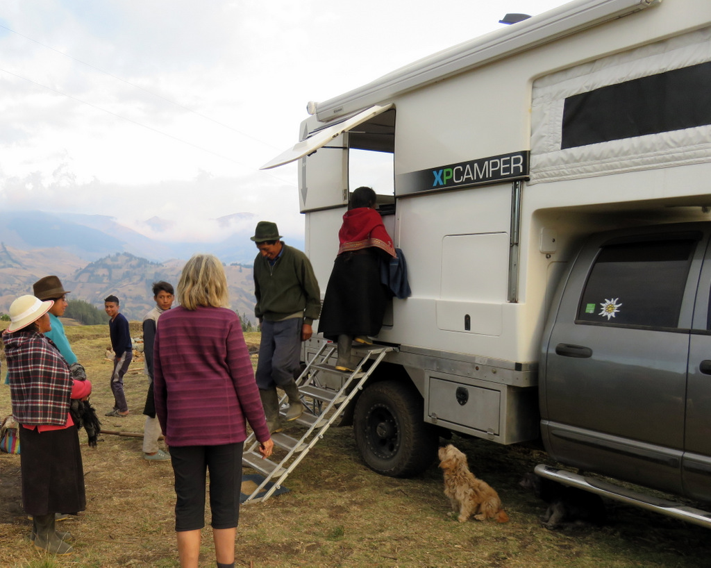
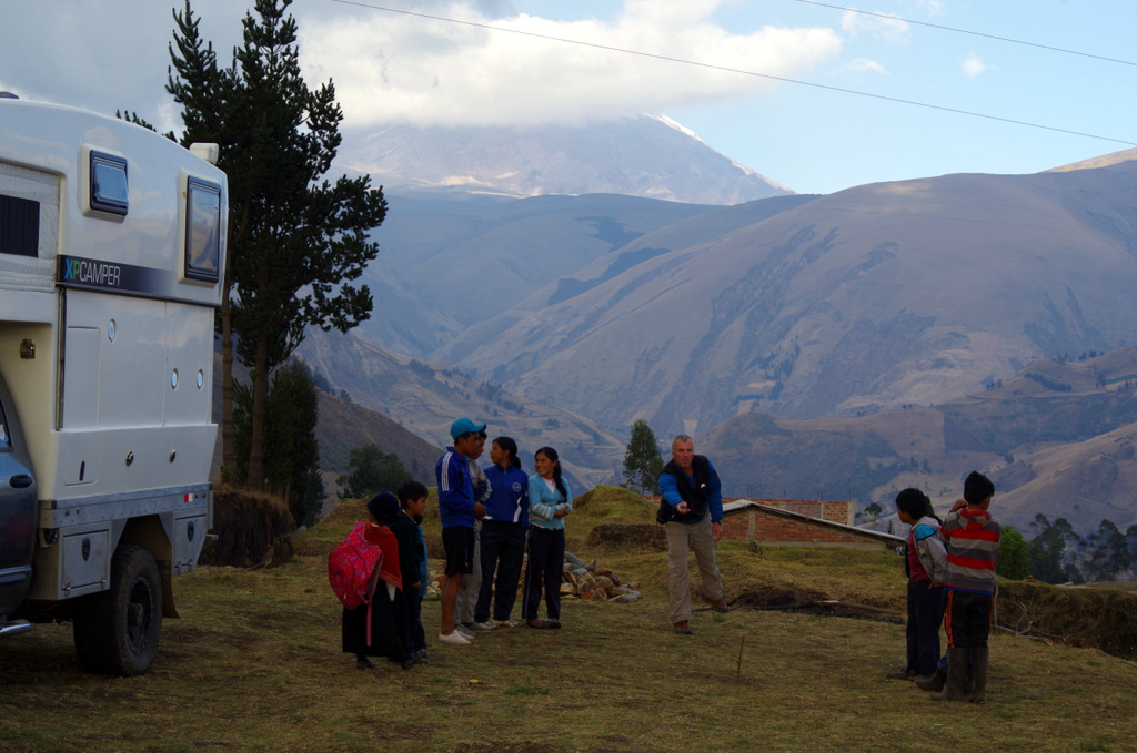
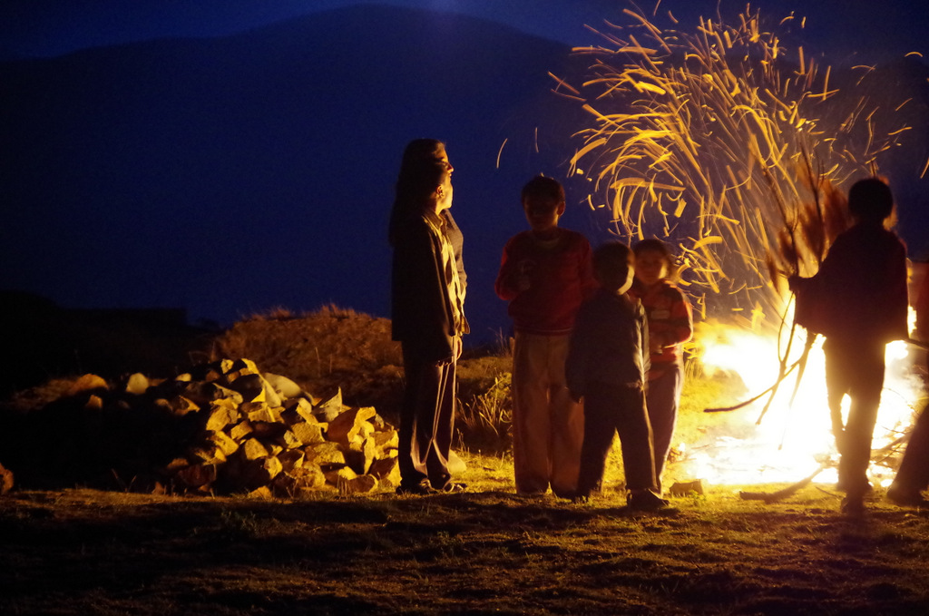
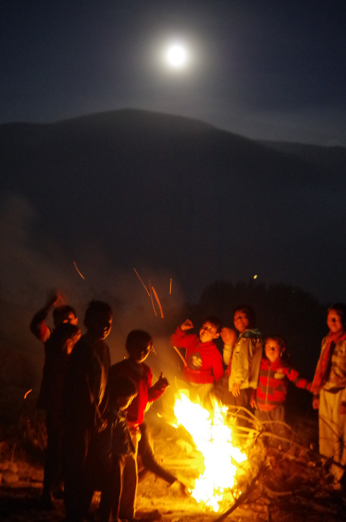
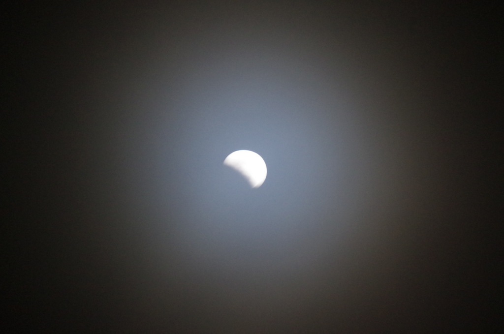
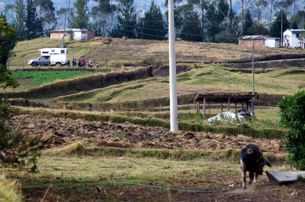
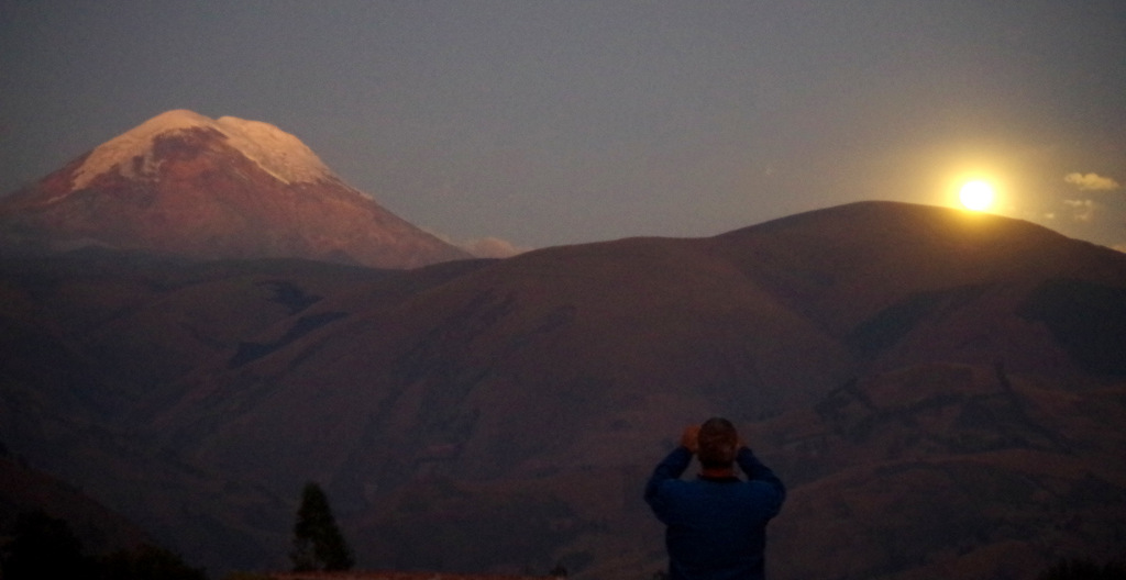
Chinipamba is in the middle of nowhere and we happened to end up there because we saw a lake on the map and thought we could maybe stop there for a few days. But the roads on the map are not always reality, the first lake had a water slide and cinderella castle (no thanks) and the way to the second lake did not exist. So we kept on going on a different dirt road, higher and higher, by now it was 6 pm, finally when we came around a corner and saw Chimborazo bathed in the sunset. A great place, so we just asked some locals if we could stay at the edge of a field. The next two days we met the whole community and had constant visitors, when we went for walks through the fields they would come up to us and shake our hands to welcome us. They showed us their guinea pigs, hogs and cows, potato and quinoa fields and brought over boiled potatoes for dinner. When we told them that guinea pigs are mascots where we come from, and that we would never eat them, they thought we were crazy and reassured us that they taste delicious. Well, I finally told them that in countries like China they eat dogs and then they were shocked, said they love their dogs and can’t imagine eating them. Günter showed them how to play horse shoe and played soccer with them. The night of the RED MOON they built a fire near our camper and we all watched the moon change, it was an unforgetful experience, to stand there at the foot of a 6000 m volcano and see this phenomena.
IMGP5101

Great camp spot in Chinipamba.


IMGP5091

Can’t beat the view!

IMG_2380

Or the company!

IMGP5111

IMGP5133 IMGP5117 IMGP5112

IMGP5105 IMGP5104 IMG_2406-001

IMG_2398

Grandmas “cuy barn”, the favorite on the dinner menu!

IMGP5125

Grandmas chickens.

IMG_2392

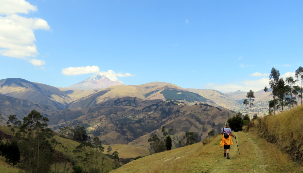
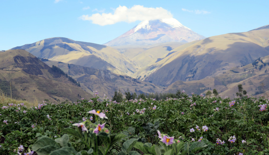
Hiking in the foothills of Chimborazo is beautiful.
IMG_2389

Through potato fields….

IMGP5131

…and quinoa.


IMGP5120

Playing horse shoe, a new game for the kids.
IMGP5050-002

Here comes the moon!

IMGP5057 IMGP5054

IMGP5070

September 27th 2015 —- lunar eclipse!

IMG_2376

Blood moon!
← Back

Thank you for your response. ✨


Posted in Ecuador | 5 Comments

Tatacoa Desert – Tierradentro – San Augustin

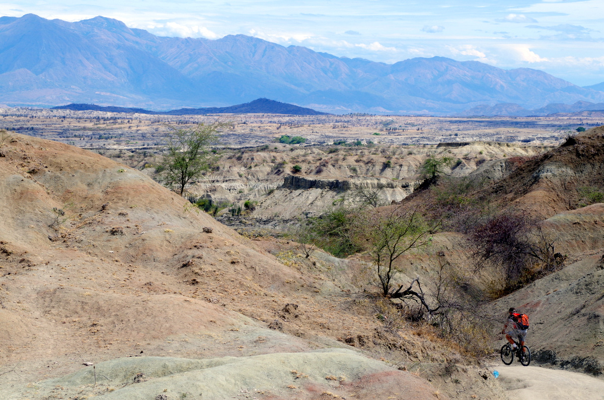
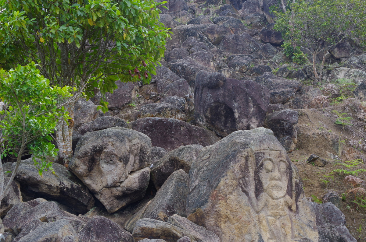
After a short stint in the Tatacoa desert and more bike riding we went to see the famous tombs of Tierradentro and statues in San Augustin. Both sites were very interesting, the towns nice and the people friendly. To see the sites you have to do a lot of hiking and the last day we took horses which made it easier, but the next day was harder (sore muscles;-)

IMGP4601

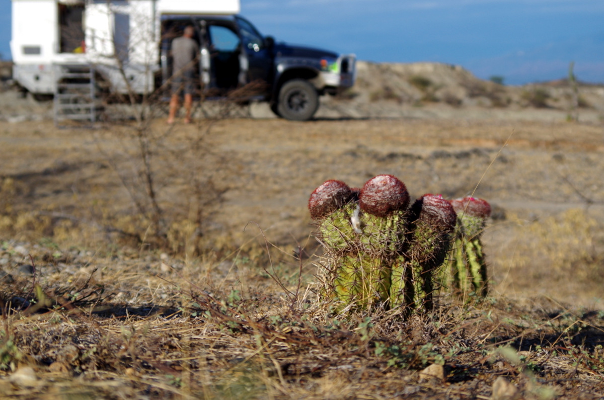
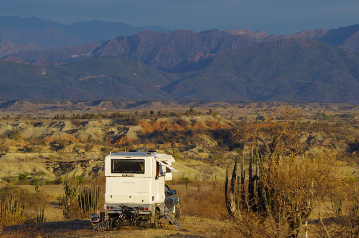
Camping in the desert.

IMGP4588

We rode our bikes all over the place…..

IMGP4558

The road there is on a former railway track.

IMG_1560

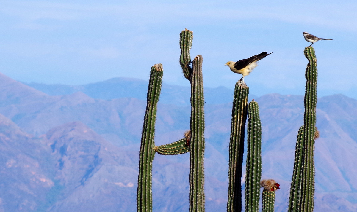
more birds

IMG_1541

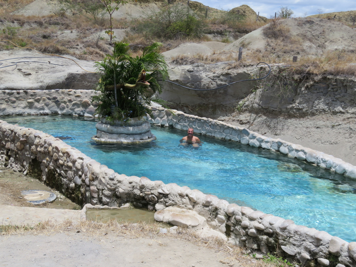
A natural spring to cool off.

IMGP4626 IMGP4622 IMGP4594 IMGP4573 IMGP4570 IMG_1561 IMG_1535

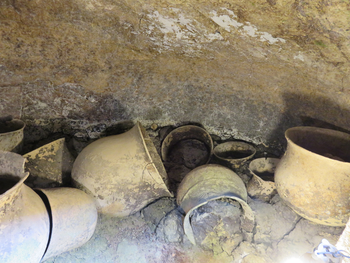
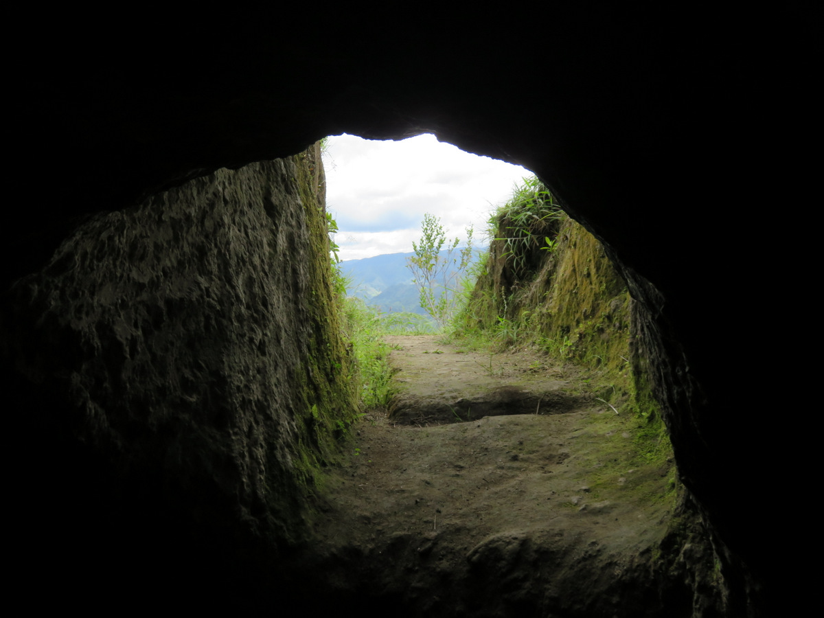
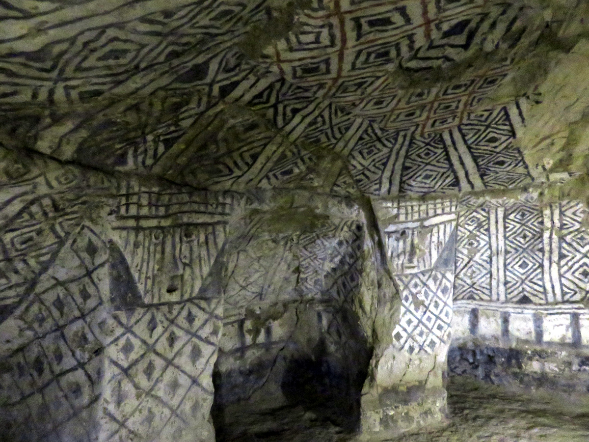
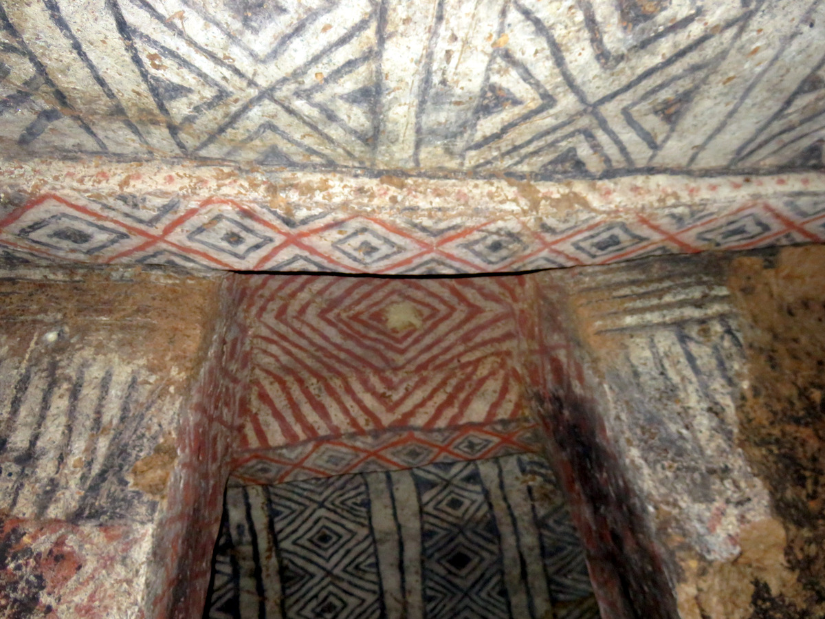
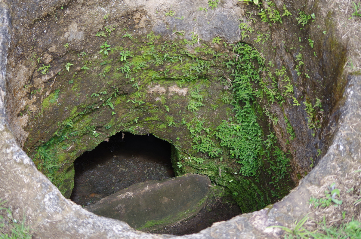
Tierradentro, UNESCO World Heritage Site, Pre-Colombian, Several monumental statues of human figures can be seen in the park, which also contains many hypogea dating from the 6th to the 10th century. These huge underground tombs (some burial chambers are up to 12 m wide) are decorated with motifs that reproduce the internal decor of homes of the period. They reveal the social complexity and cultural wealth of a pre-Hispanic society in the northern Andes.

IMGP4665

To visit the tombs you have to hike all day.

IMG_1633

The tomb entrances on Aguacate Ridge.

IMG_1627

Yes, they were on the ridge as well, protecting the UNESCO site.

IMG_1583

We climbed down into 20 or more tombs, big steps, it was hard!
IMG_1582 IMG_1624 IMG_1620 IMG_1617 IMG_1599 IMG_1594

IMGP4659

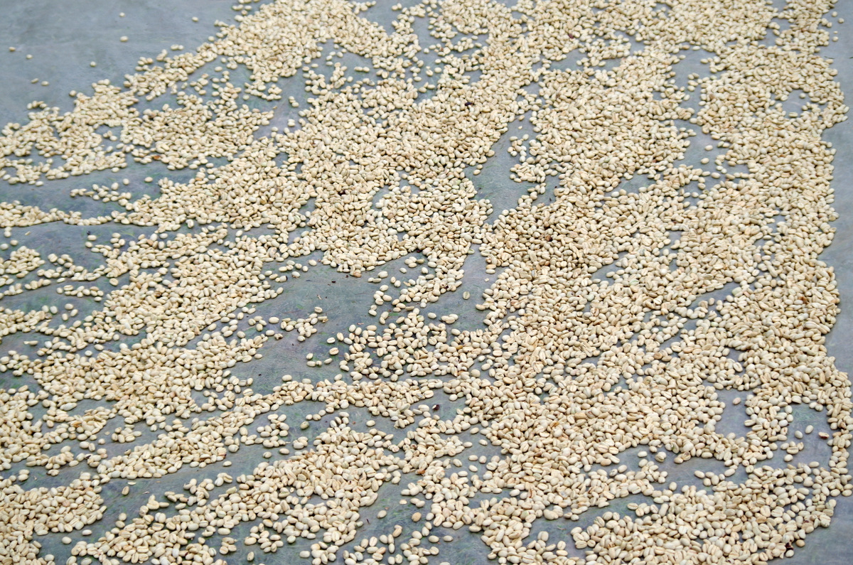
Sorting coffee

IMGP4650

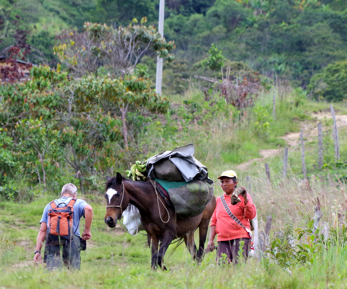
Hike past little farms and people.

IMGP4657

drying coffee beans in the sun.

IMGP4646

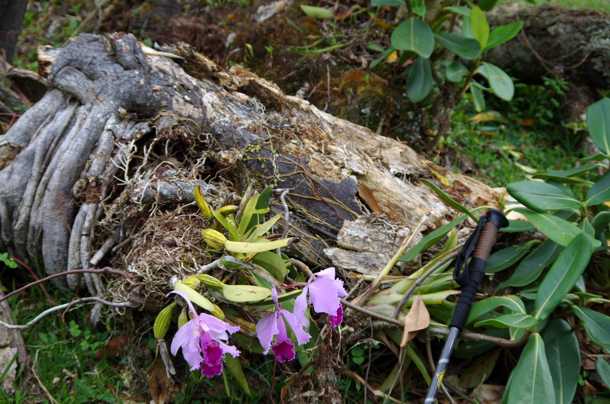
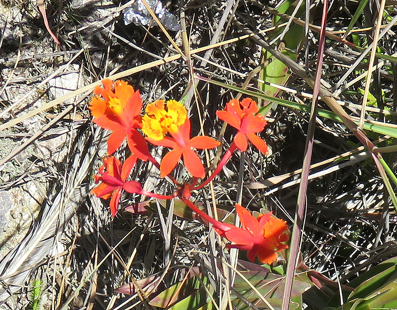
These orchids grew on a branch that had fallen off a tree.

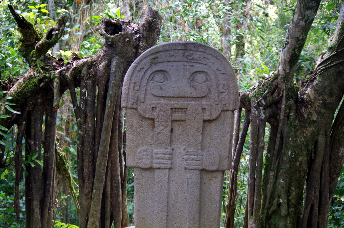
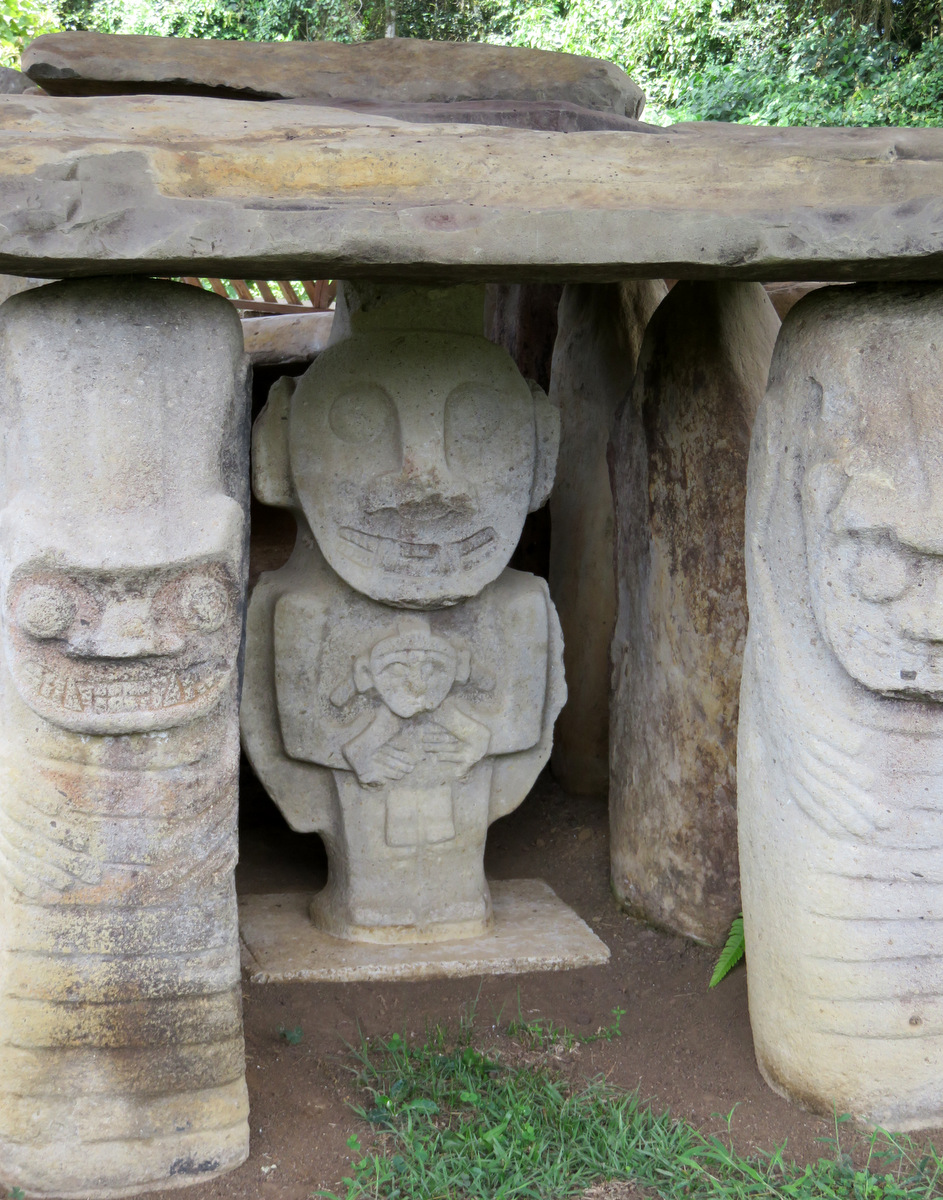
San Augustin, UNESCO World Heritage Site, Pre-Colombian:

ln the pre-agricultural period, from c 3300 to c 600 BC, san Agustin was occupied by a society with a rudimentary stone technology using unretouched basalt chips; their principal food was wild fruits, but hunting cannot be ruled out. Nothing is known of their political or social structures, but it is assumed that they were kinship-based:

IMGP4699

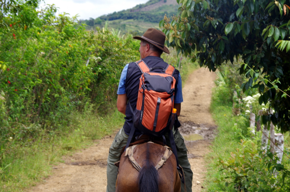
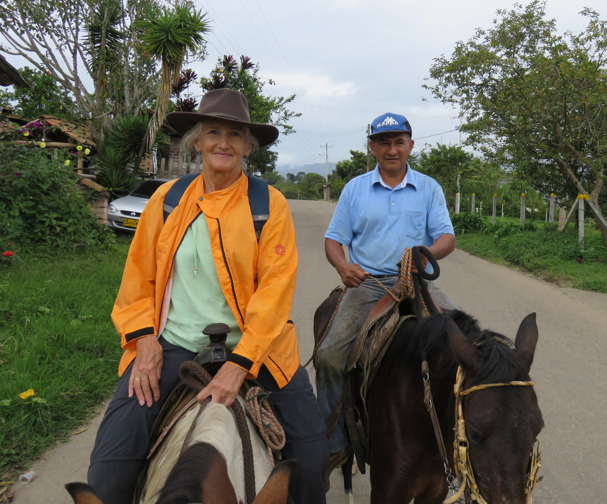
On day two we rented horses and a guide.

IMGP4688

The skier!
IMG_1675

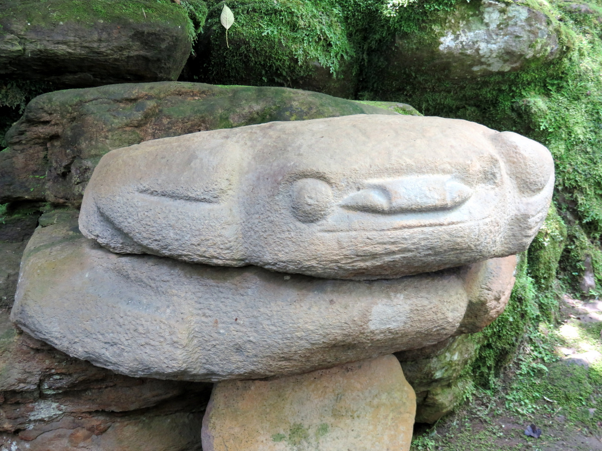
The frog

IMG_1673 IMGP4698 IMGP4671 IMG_1688

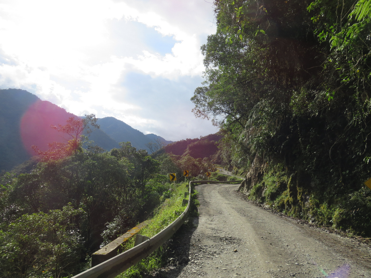
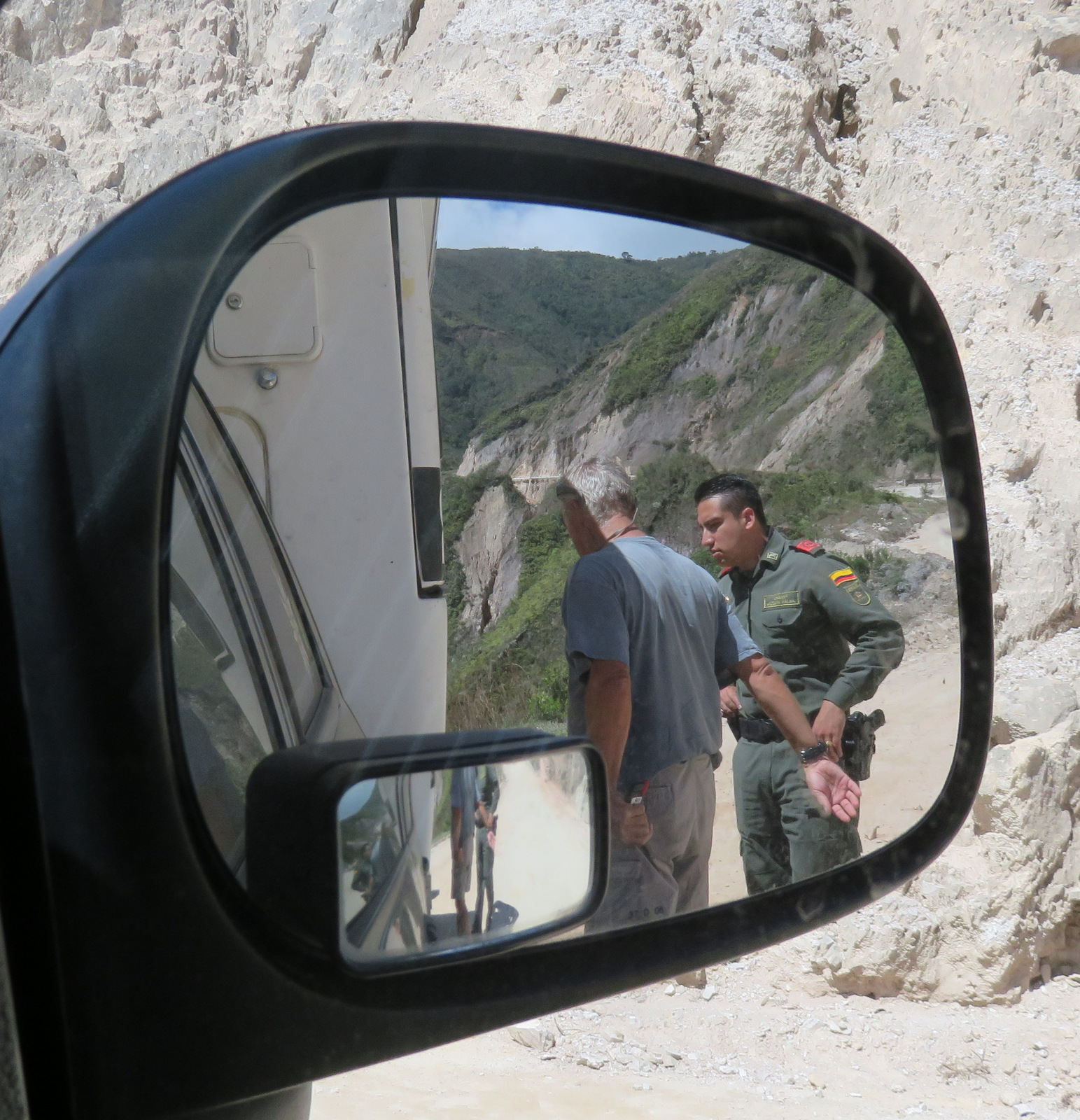
We skipped the Cali and Medellin areas and decided to head to toward Ecuador. So we had to cross the mountains again to get to the Panamericana in Pasto. Well the road from Mocoa to San Francisco was a crazy drive, it is unpaved and single track, there were land slides and many large trucks that are always in a hurry and don’t want to slow down. Sometimes it was almost impossible to pass and on one of those occasions a large fuel tanker truck passed us so closely that he broke the side window in our camper with his mirror. We could not get out of the way since we only had inches between the tires and a 200 meter drop off, no guard rail and the road bed was not stable.

IMG_1732 IMG_1720

IMGP4712

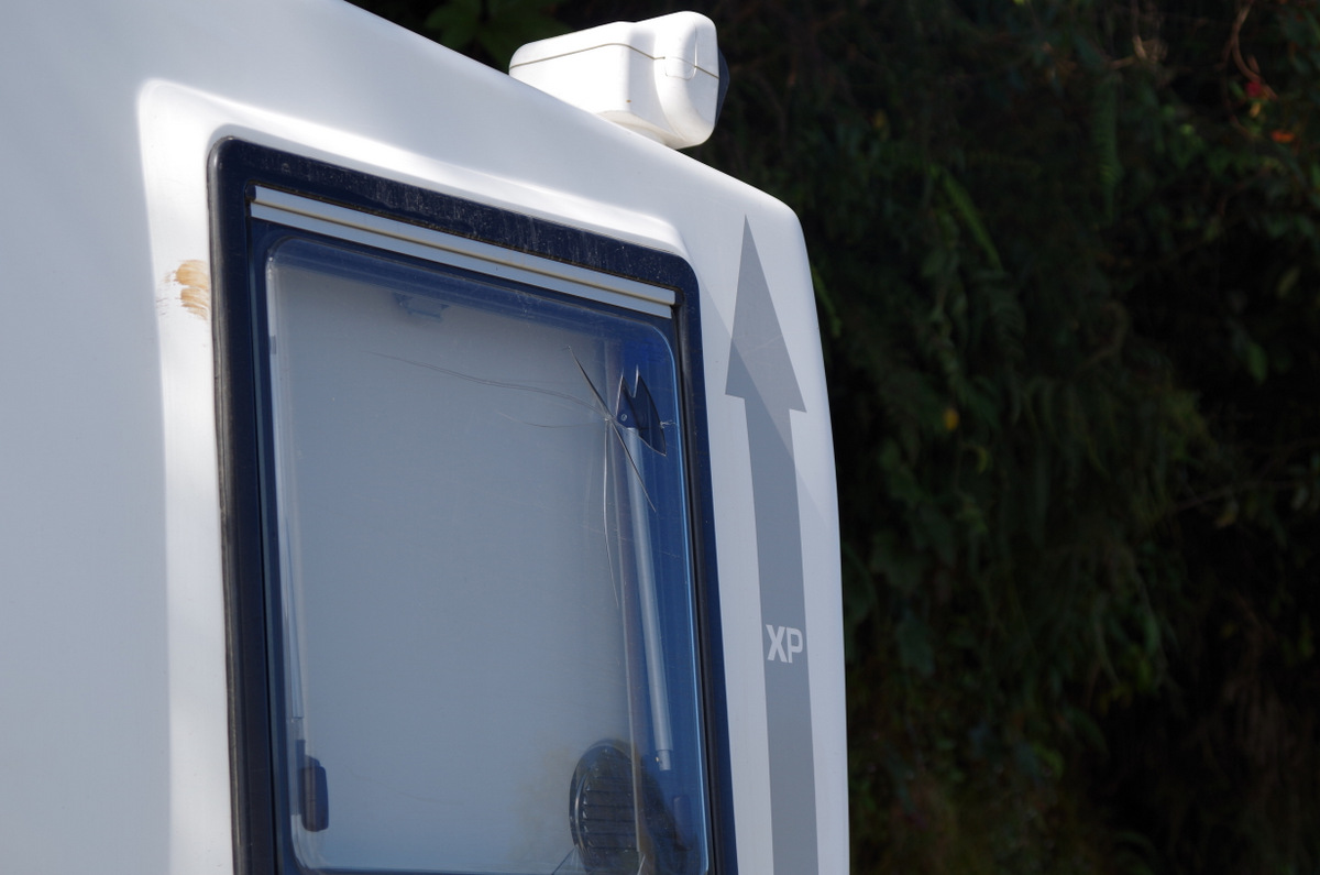
A large truck passed close enough to break our window with his mirror.

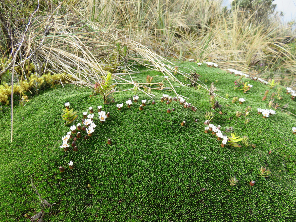
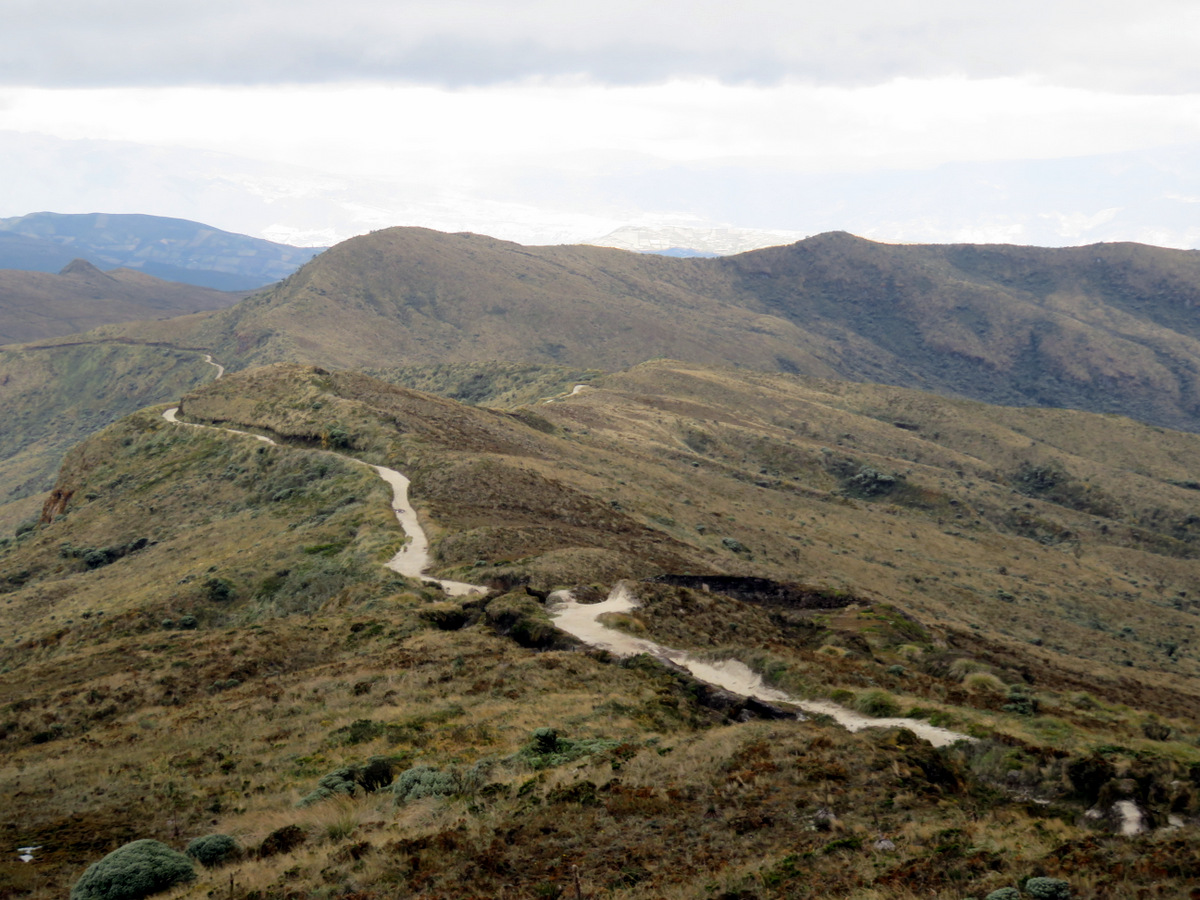
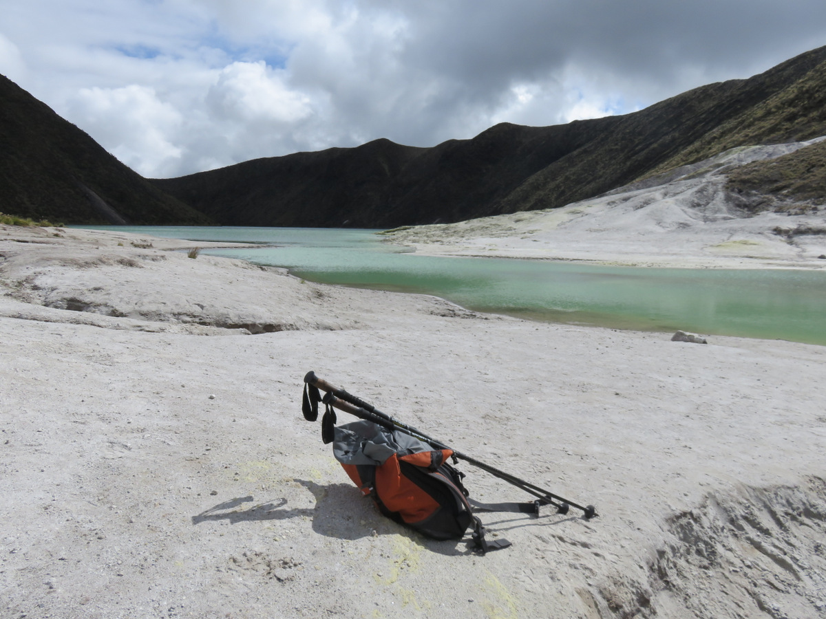
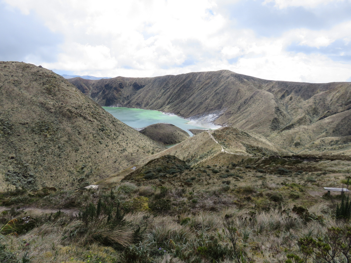
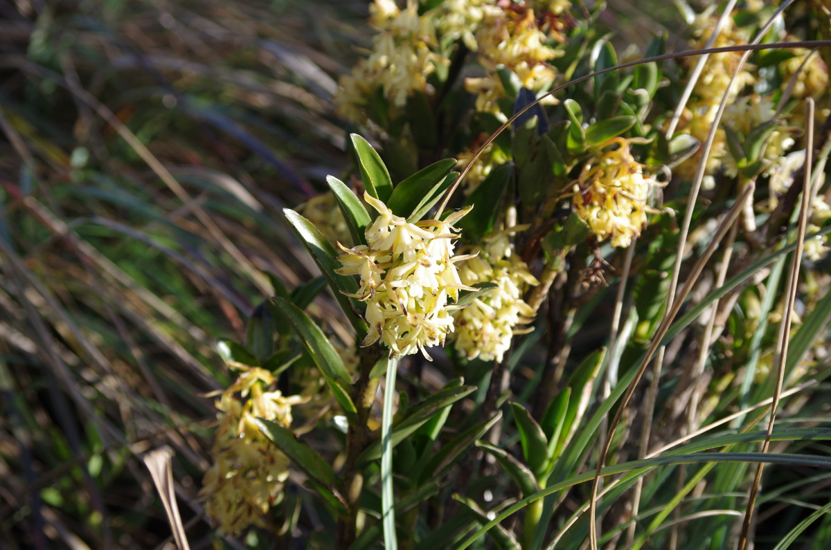
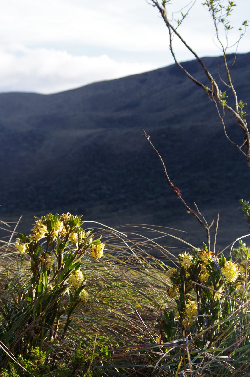
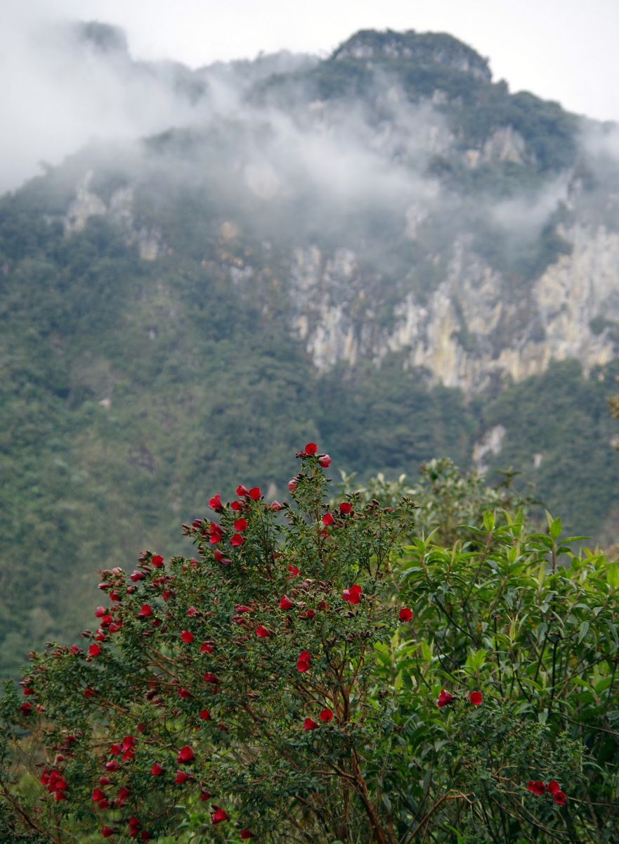
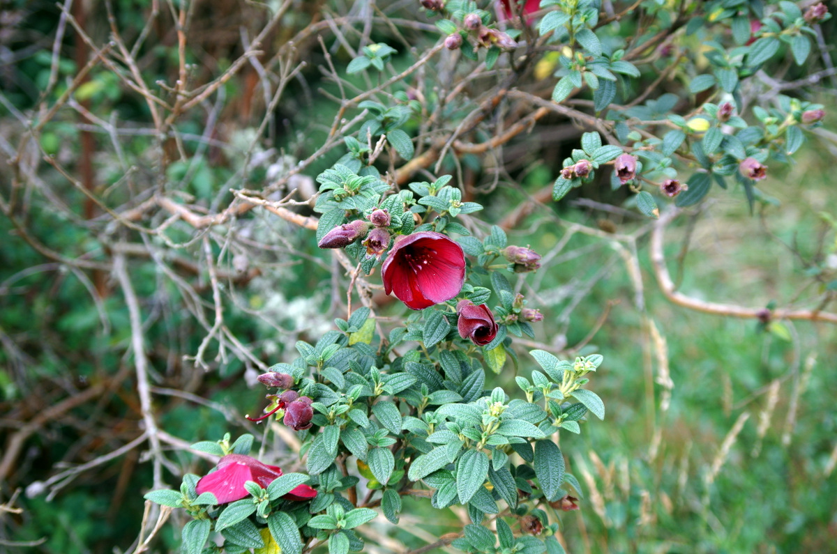
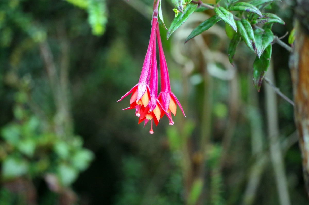
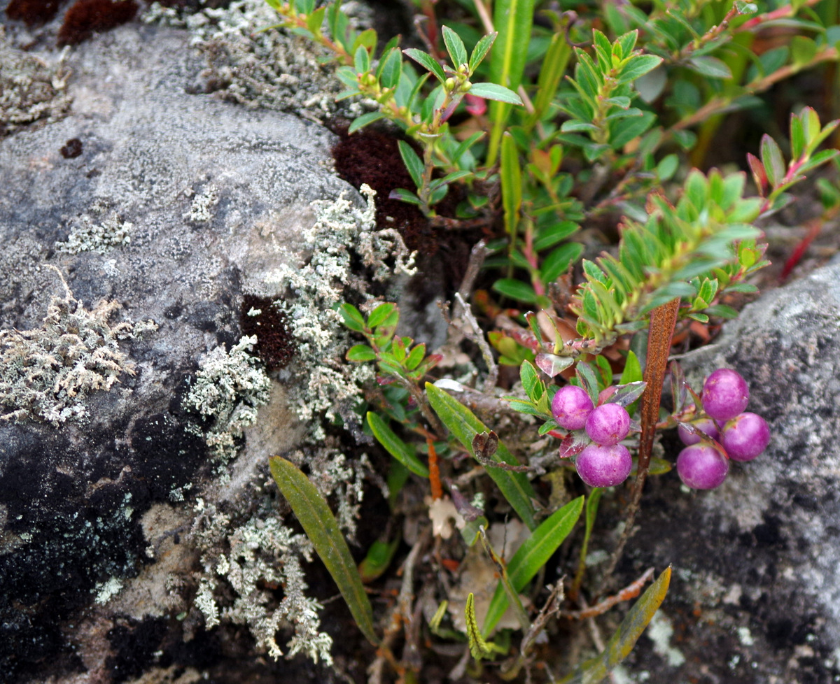
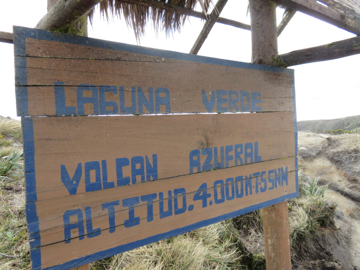
Needless to say I was really glad when we – 6 hours later – arrived in the valley on the other side. Volcano El Azufral was our last stop in Colombia, we drove up to to the trail head and then hiked up to the crater rim at 4000 m. Günter descended into the crater and to the lake “Laguna Verde” while I stayed and took pictures of the amazing flora of the paramour.

IMG_1754 IMG_1778 IMG_1775 IMG_1767 IMG_1755

IMGP4735

The smell was amazing!

IMGP4740 IMGP4728

IMGP4708

IMGP4724

We left Colombia with a heavy heart, wanted to go to many more places, experience more and enjoy the hospitality of the great Colombian people. We’ll be back!

Recommended reading:

“The sound of things falling”  (Juan Gabriel Vasquez) tags: Cocaine, Peace Corps, Love

“La otra raya del tigre” ,  Pedro Gómez Valderrama,  tags: Geo von Lengerke

(Spanish only)

and of course by book by Gabriel Garcia Marquez

← Back

Thank you for your response. ✨


Posted in Colombia | 4 Comments

Coffee country and volcan Machin

IMG_1283

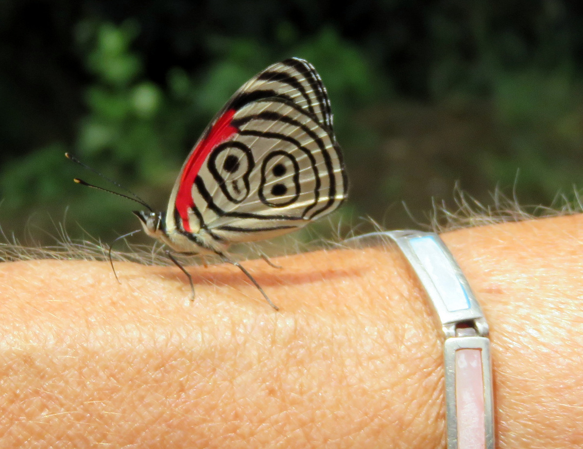
The famous “Cramer’s Eighty-eight” butterfly landed on my arm and hung out for a while.

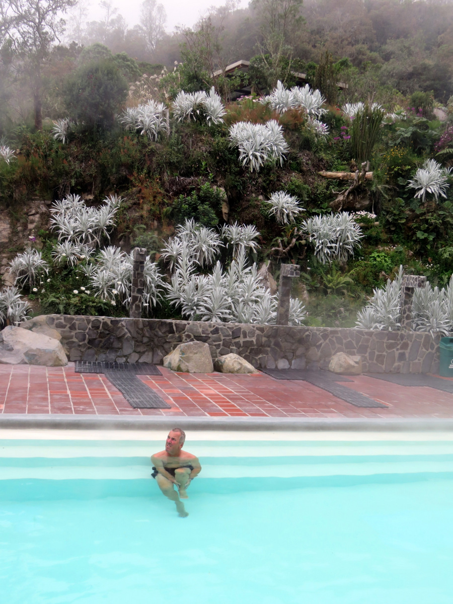
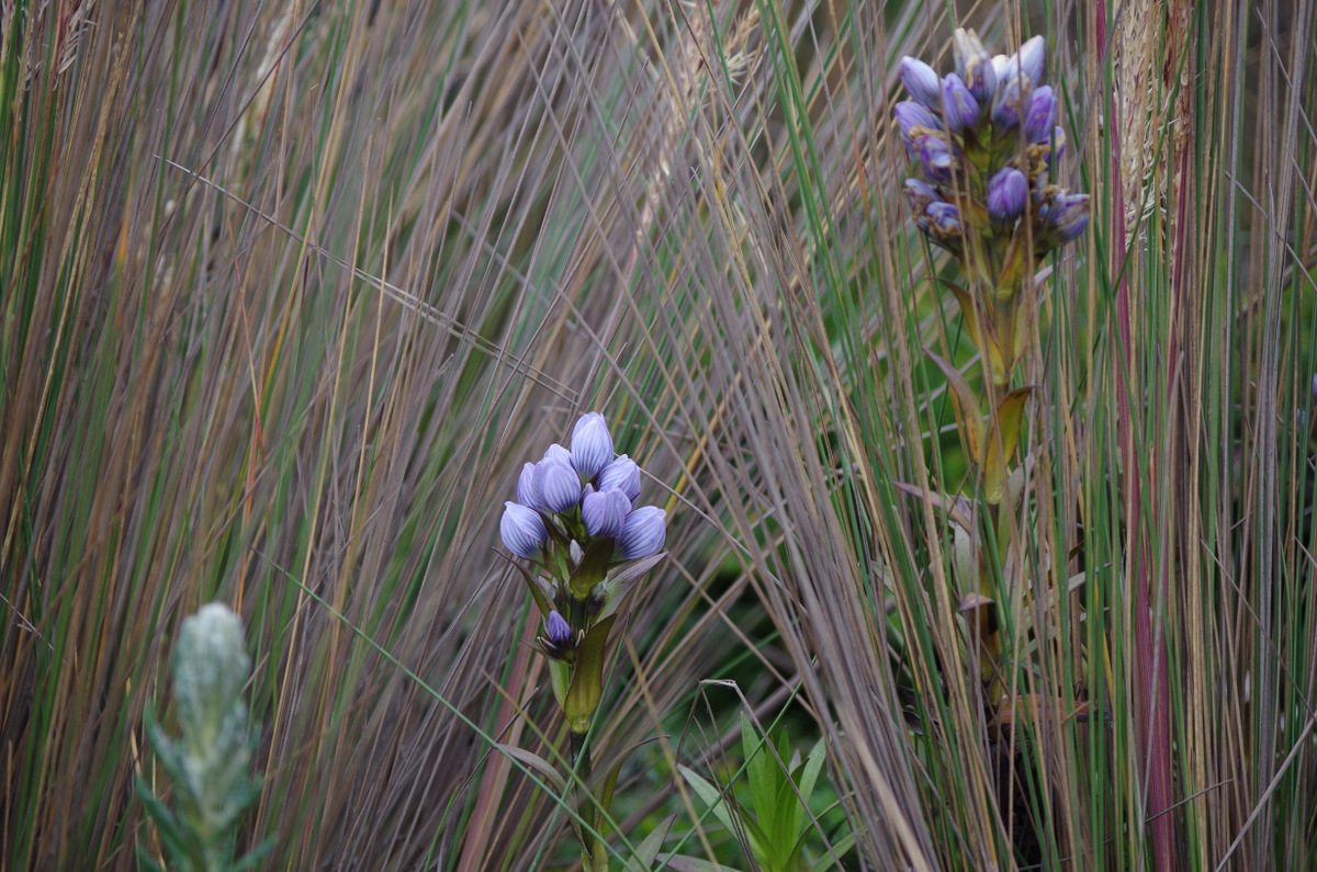
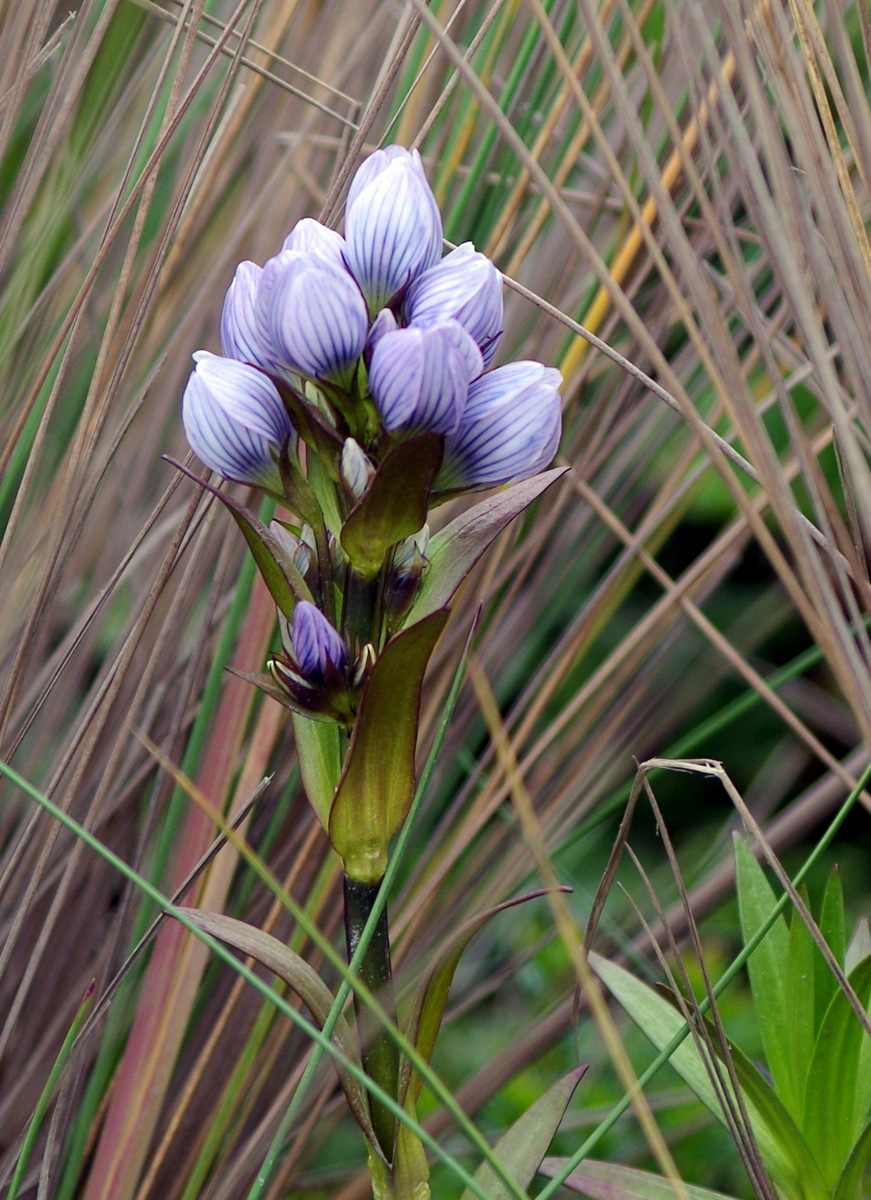
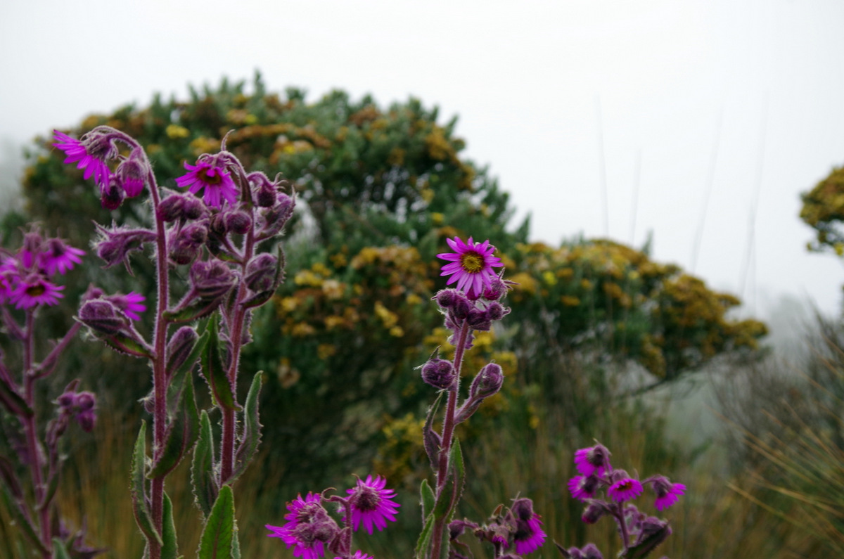
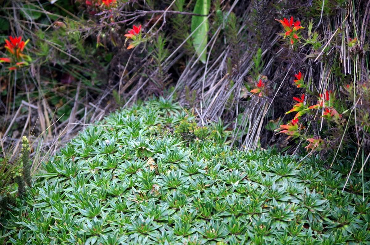
Colombia is famous for its coffee. So we went looking for Juan Valdez, the campesino and his mule Conchita that has been advertising Café de Colombia all over the world for many years. Leaving Bogota we headed west and first drove to Los  Nevados National Park in the central Cordillera of the Colombian Andes. The 5,300 m-high volcano Nevado del Ruiz dominates Los Nevados.  At the Thermales Ruiz we camped, relaxed in the hot water and did some bird watching. The next day though the fog rolled in and the trails to the volcano were closed due to recent volcanic activity. On our walks we could not get over the unusual and beautiful wildflowers and other plants that grow at such a high altitude.

IMGP4457

IMG_1235

Thermales Ruiz

IMGP4466-001

Gentian ? Enzian?

IMGP4466 IMGP4463IMGP4467

IMGP4422

IMGP4411

IMGP4420

Bleeding heart?

IMGP4418

IMGP4453 IMGP4448

IMGP4458

We left, crossed over the Rio Magdalena to Manizales and camped at Hacienda Guayabal in Chinchina. 64 hectar of coffee plants on steep hills, we saw the coffee harvest and production and drank great coffee. There we finally ran into Juan Valdez.

IMG_1312

Juan Valdez is watching you!

IMG_1321

Coffee cherries, ripe for the picking (yellow and red anyway)

IMG_1284

C A F F E E trink nicht so viel Kaffee…..lala

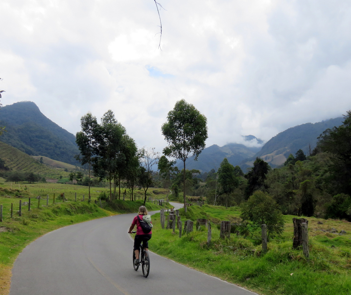
On to Salento we went, broke out the bicycles and rode to the Valle do Cocora, famous for the very high wax palms, the nation tree of Colombia.

IMG_1333

Riding up the Cocora Valley.

IMGP4506

Wax palms grow up to 60 meters in hight.

Salento is a pretty town , has great climate and is a major tourist destination. People from other parts of Colombia come here on the weekends. It is also crowded with backpackers and has many hostels. We did the popular hike to the hut in the hills, drank hot chocolate with cheese (you put them in the hot chocolate) and enjoyed the views.

G in Salento

Salento and hiker.

IMG_1418

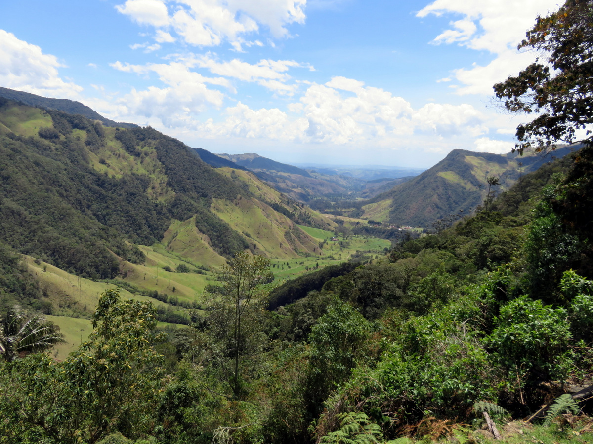
Views of Cocora Valley.

IMG_1398

IMGP4494

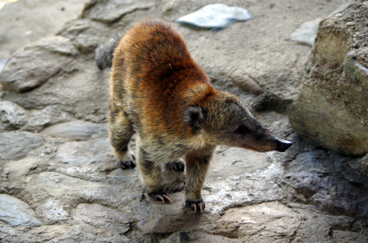
That’s a loooong tail!

IMGP4493

Coati at the “hot-chocolate-and-cheese-hut”.

IMGP4492

IMGP4491 IMGP4487


IMGP4495

Hot chocolate and cheese…..

IMG_1353

In town we talked to the owner of a bicycle rental and he pointed out a road on a map that goes over the mountains to Ibarra. He said there are many more wax palms on that route. We wanted to see that, so we took off and headed out of Salento up into the mountains again. It was a beautiful drive, single track dirt road (4×4 not needed) and winds its way over passes and through valleys. In Toche we took a left and continued up again. When it got late in the day we camped beside the road under the peak of Cerro Machin Volcano, near a hot spring. There was no traffic at all other than people on horseback or on foot. And the wax palms were everywhere, whole forests, we came to realize that they actually grow in/as a forest and what we had seen in the Valley de Cocora were sad remnants of a forest that had been cleared for cattle farming.

IMGP4514

A wax palm forest untouched.

Roadside attractions on the drive from Salento to Ibarra via Toche and Machine volcano.

IMG_1455

Paso Fino Columbiano

IMG_1452

IMG_1495

Toche

IMGP4544

 Toche town center.

IMGP4548 IMGP4543

IMG_1491

Moving truck.

IMG_1493

IMG_1482

Oops

IMG_1489

It took Günter a while to find this nice man that just happened to have a chain saw.

IMG_1449

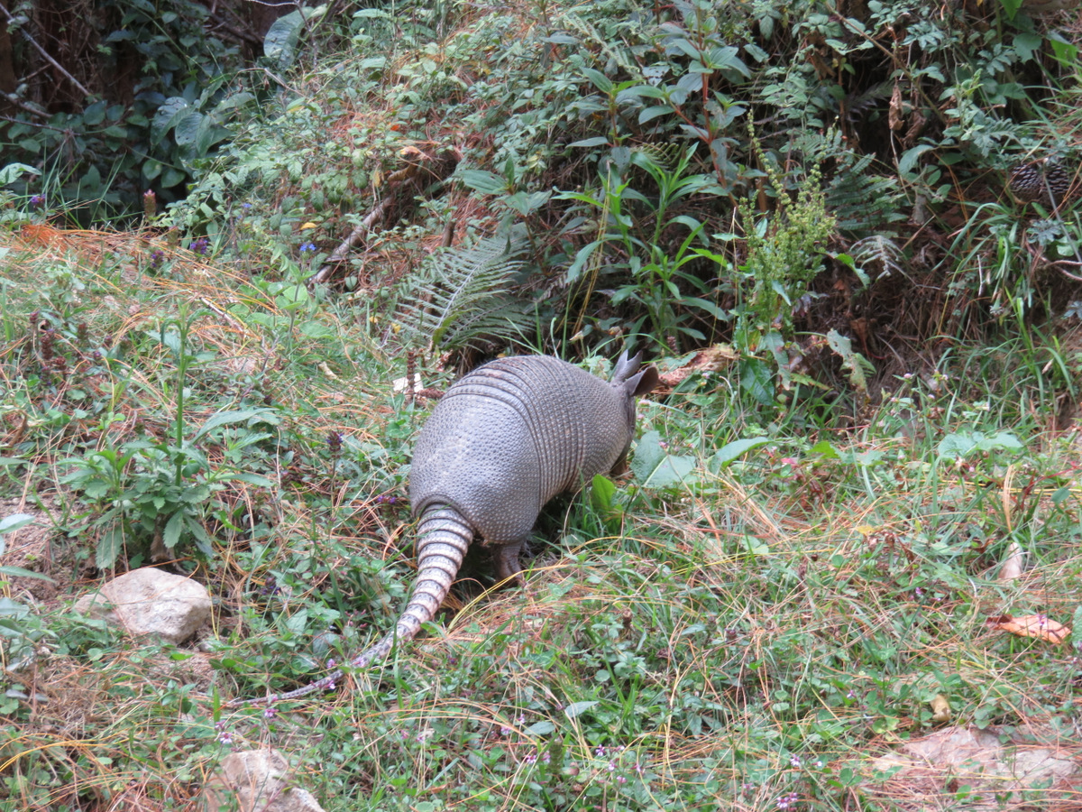
armadillo – Gürteltier


IMG_1497


It was a two-day drive and we are glad we took this route. Günter has driven over 40 000 miles by now and is doing a great job. I, Sissi, have driven 100 meters so far.

Posted in Colombia | 5 Comments

Caño Cristales

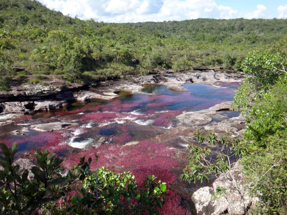
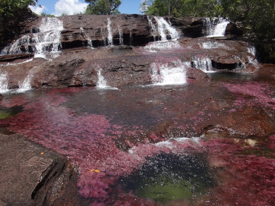
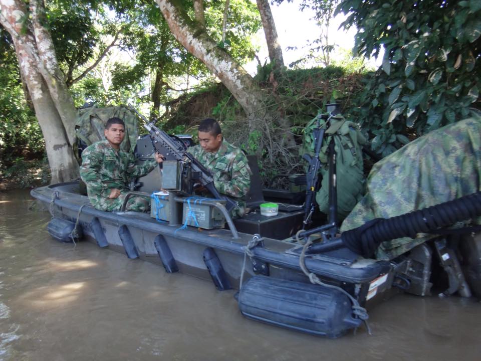
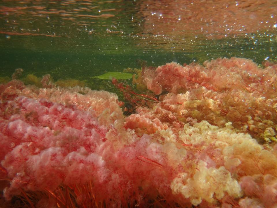
On the drive down from the mountains of Cocuy our brakes really squeaked a lot and we decided to go to Bogotá, have the brakes fixed, get an oil change and have ” Dodgie ” looked over. During that time we could check out Bogotá and try to go to Cano Cristales. We had watched a BBC documentary a while ago about the “blooming” rivers Cano Cristales near Macarena, Colombia. The “Lonely Planet” made short mention of it so we started to research a little more. Macarena is a small hamlet of around 500 people, it lies in an area that is part of the FARC territory. Some of the rivers in that area are home to an unusual plant called Macarenia clavígera. Where it is exposed to the sun it turns bright red in the summer months, in shady spots it is green or grey. A fascinating sight, we read that August is one of the best months to view this phenomena. The military does not allow you to drive to this part of the country, access by boat on the Guayabero river is off-limits as well. It is too dangerous and even the town of Macarena is protected by 5000 Soldiers, you can fly in, get a room and a guide, hike the rivers and after a few days fly out again. Laura from Caminantes del Retorno in Bogotá  made all the arrangements for us. Fly in with a small propeller charter plane (we are used to that from Alaska) and fly out with a military owned plane.

20150809_121303-1

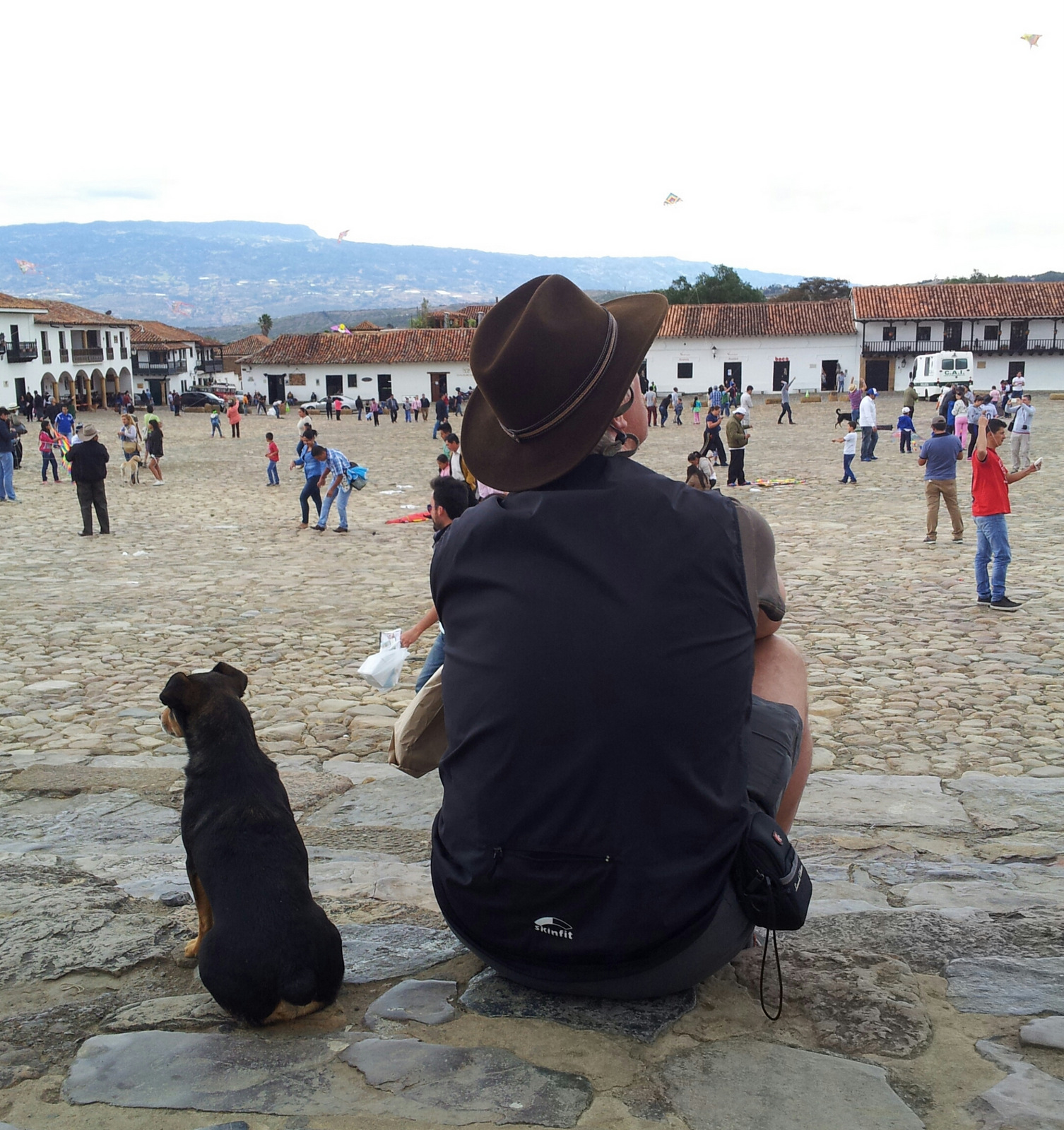
Flying kites in Vill de Leyva.

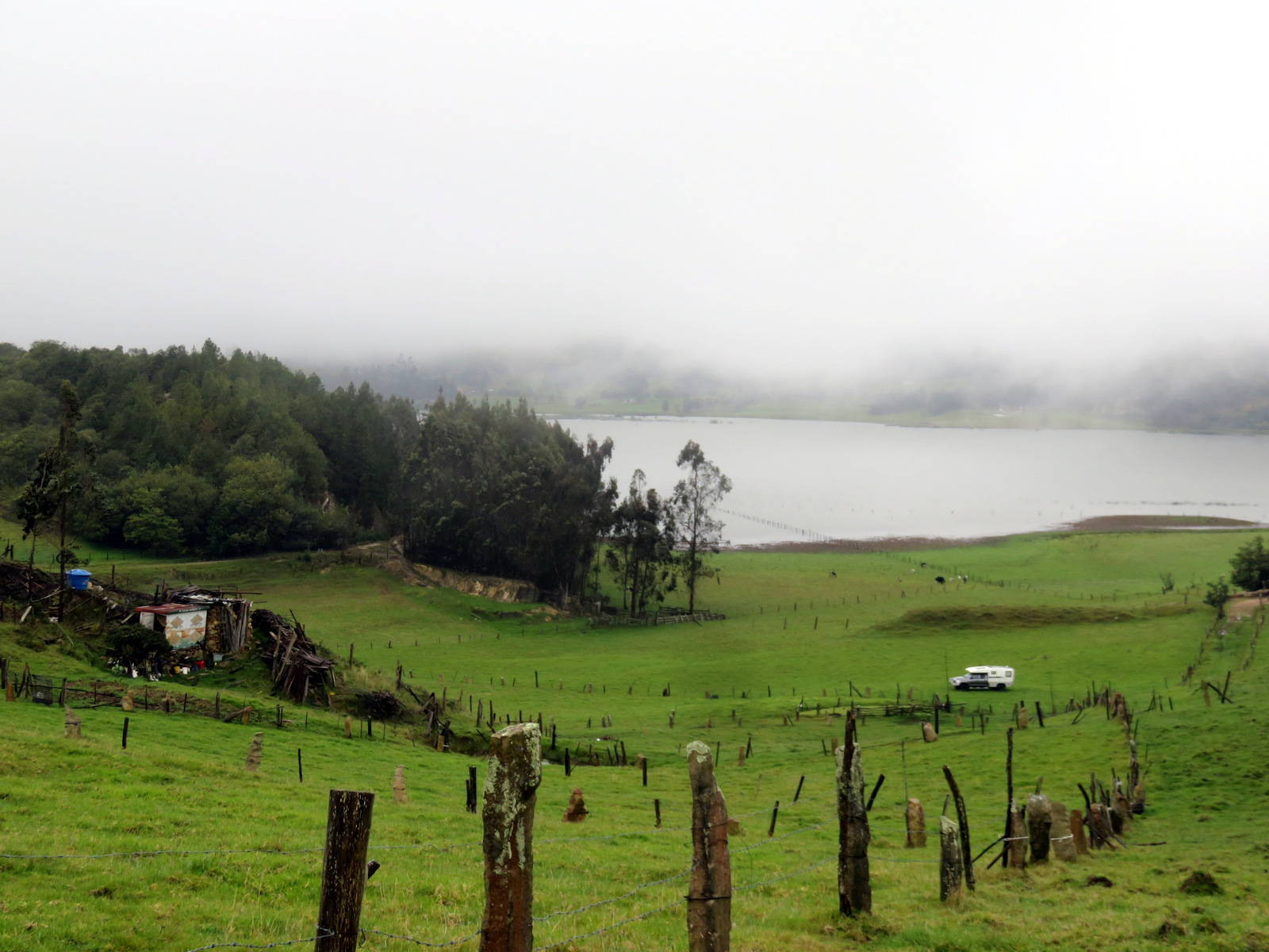
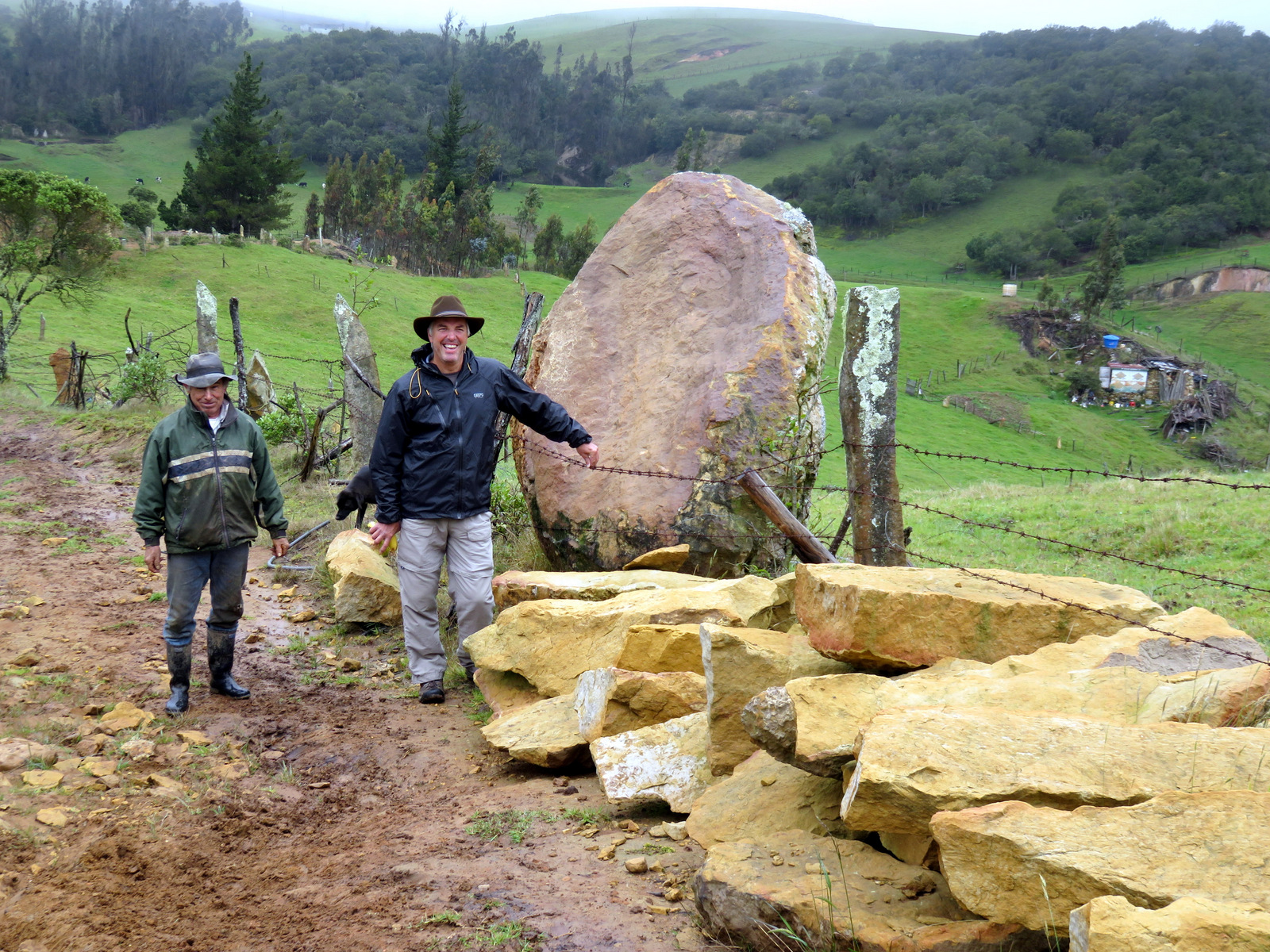
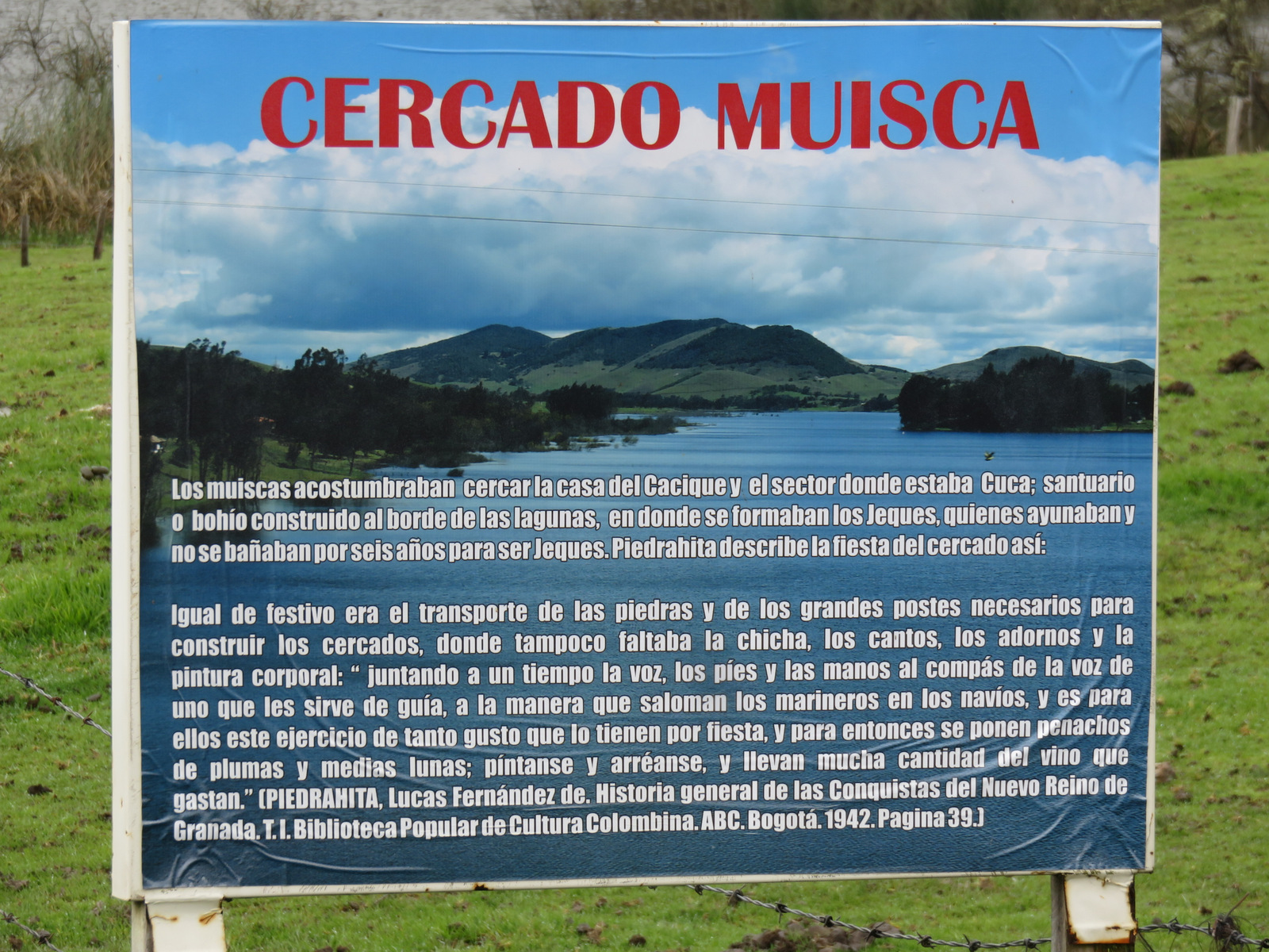
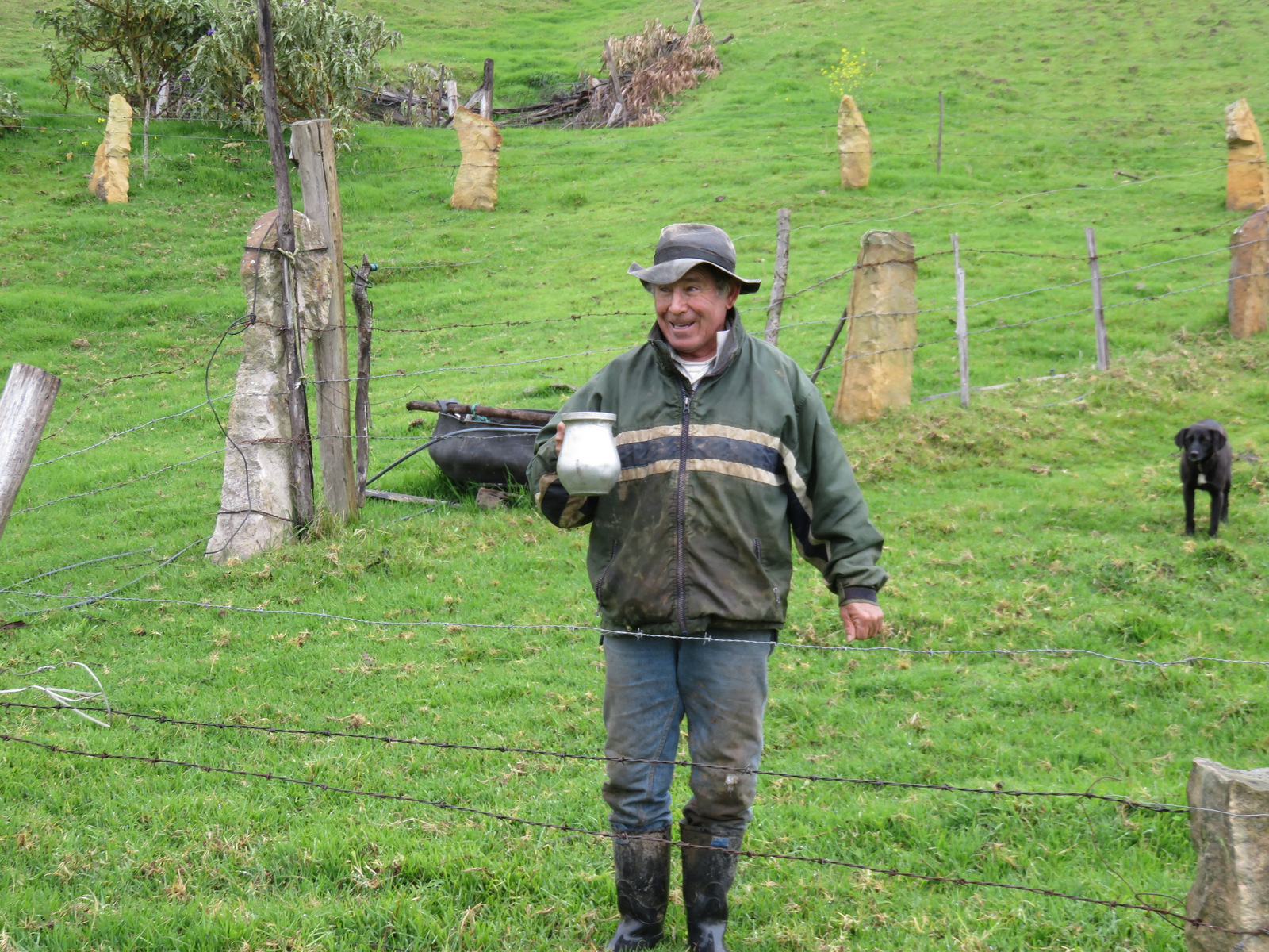
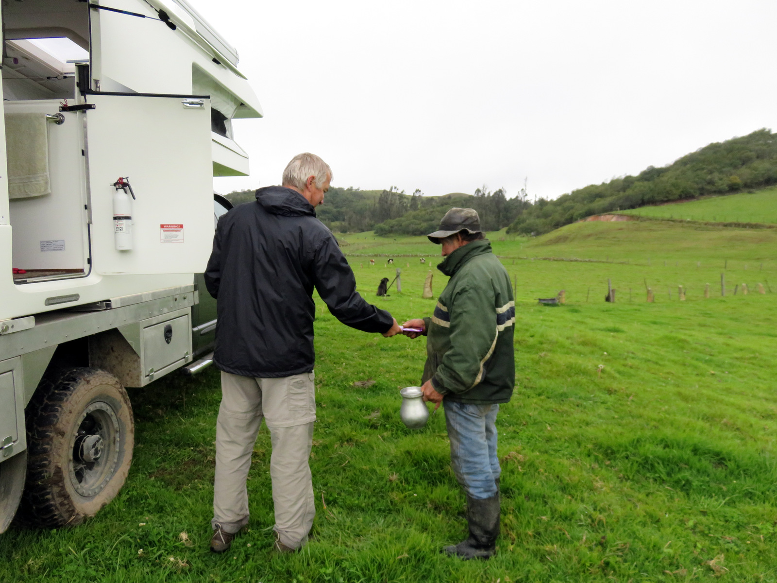
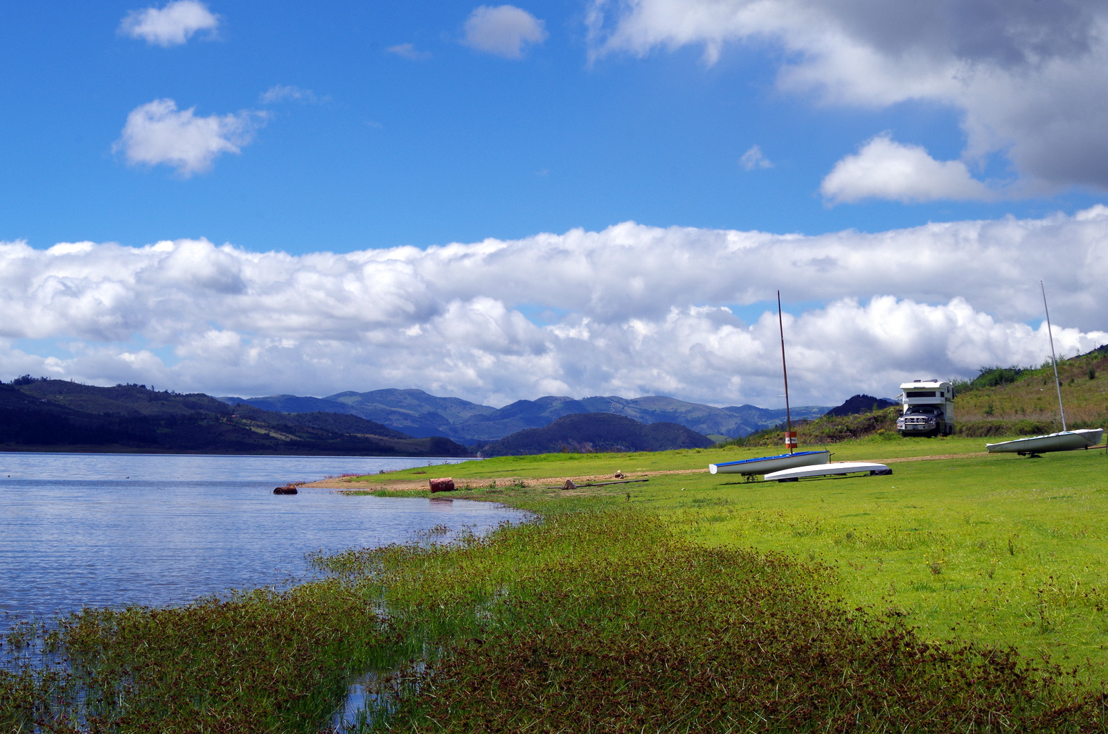
On the way to Bogotá we relaxed at Villa de Leyva for a few days, spent a night in a field near Suesca lake where the farmer Eusebio came down from the hill and told us all about his farm. He took us for a walk on his property and brought us fresh milk in the morning. The fence posts in that area are made of rocks chipped of large boulders. He told us this is the way the Muiscas did it and he is part Muisca.

IMG_0882

Our camping spot near Suesca lake on Eusebios finca.

IMG_0885

This is how they make the fence posts, chipped out of a rock.

IMG_0901

IMG_0896

Fresh milk in the morning! Note the rock fenceposts.

IMG_0899

German chocolate in return.

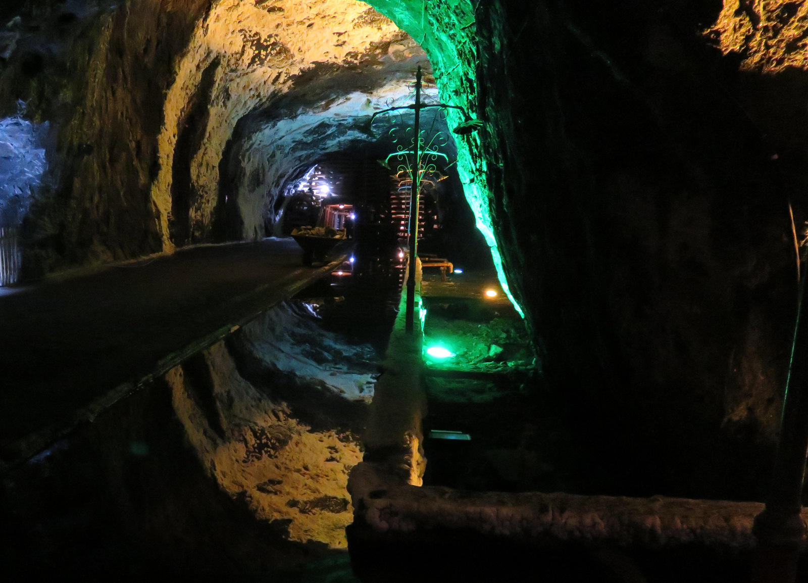
Then we toured the salt mine in Nemocon, camped at the shores of the lake near the town of Guatavita, ate the best Bavarian Cream dessert ever in Iza and finally made it to Bogotá. All the time the scenery was absolutely beautiful, you drive on windy roads up passes, down valleys, along lakes.

IMGP4395

Near Guatavita.


IMG_0911

In the salt mine.

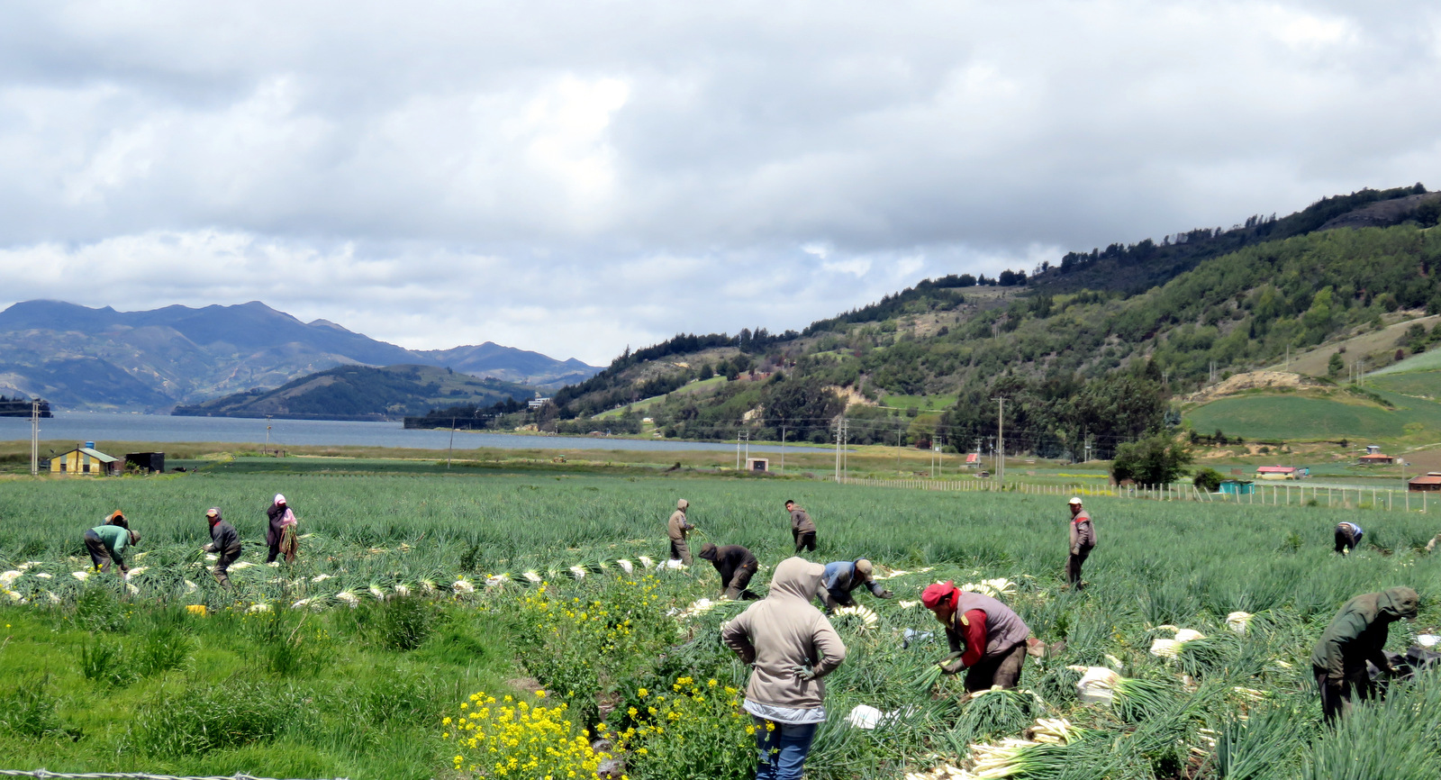
You pass people walking, on horses, watch the onion harvest along lake……… and people hanging out in the little towns.

IMG_0744

Onion harvest

IMG_0788

20150809_121123-1

Finally we dropped the camper off at Iguana 4×4 the best repair shop in Colombia, spent two days in Bogotá and then flew to Macarena.

IMG_1229

Airport Macarena.

IMG_1226

Macarena

IMG_1186

IMG_1210

The Llanos.

There our luggage was picked up by a mule cart and soon we were in our room at a small hotel. Juliana, a local young lady, was our guide. She was great, together with our new friends Diego and Ricardo and “Senor Dulce” aka Robin the speedy Belgian, we took the long-boat (hewn out of one huge tree) upriver where we got dropped off and picked up by a small truck that took us into the hills on a crazy rough road.

IMG_1043

The TEAM!

IMG_1148 IMG_1145

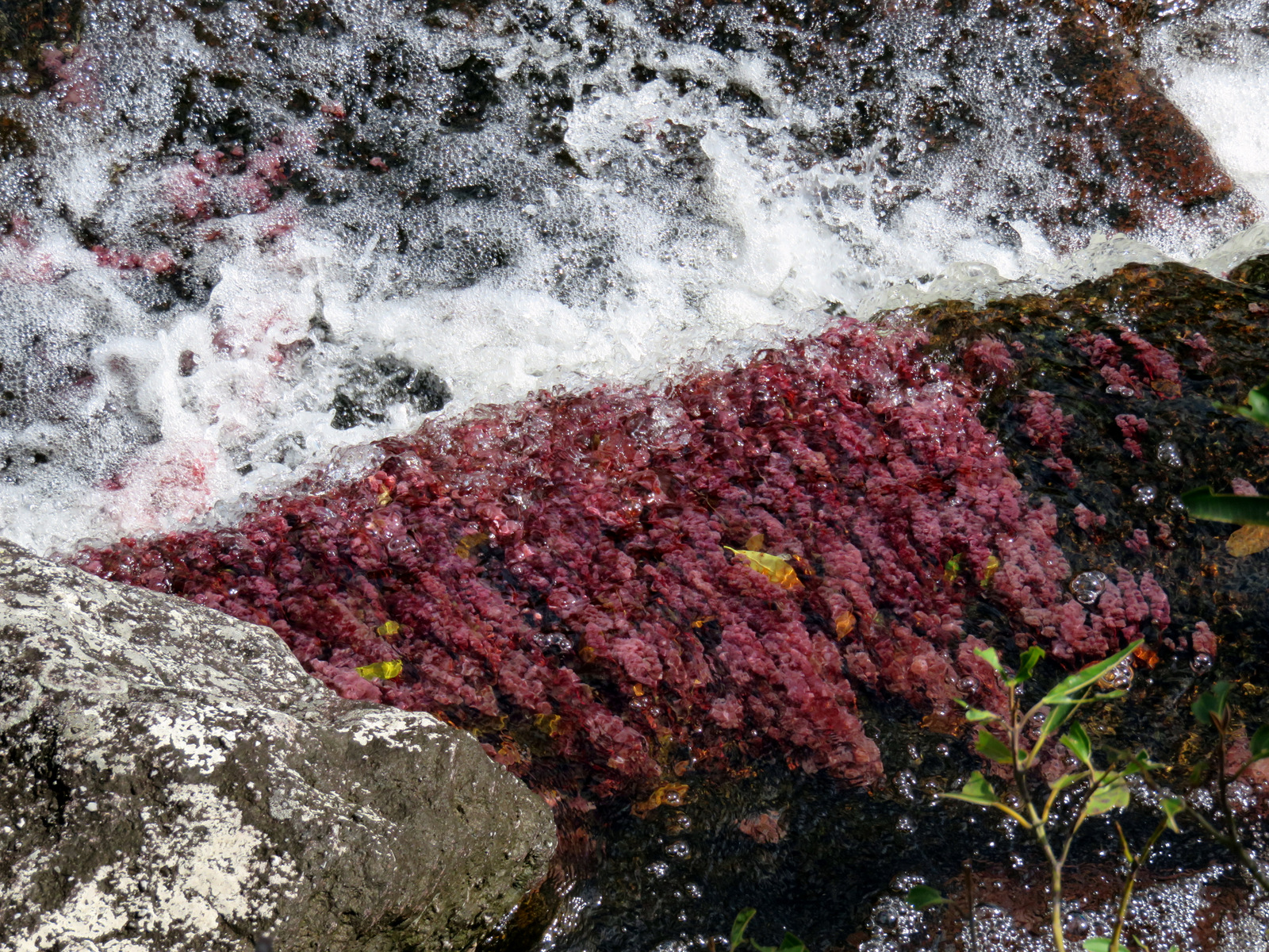
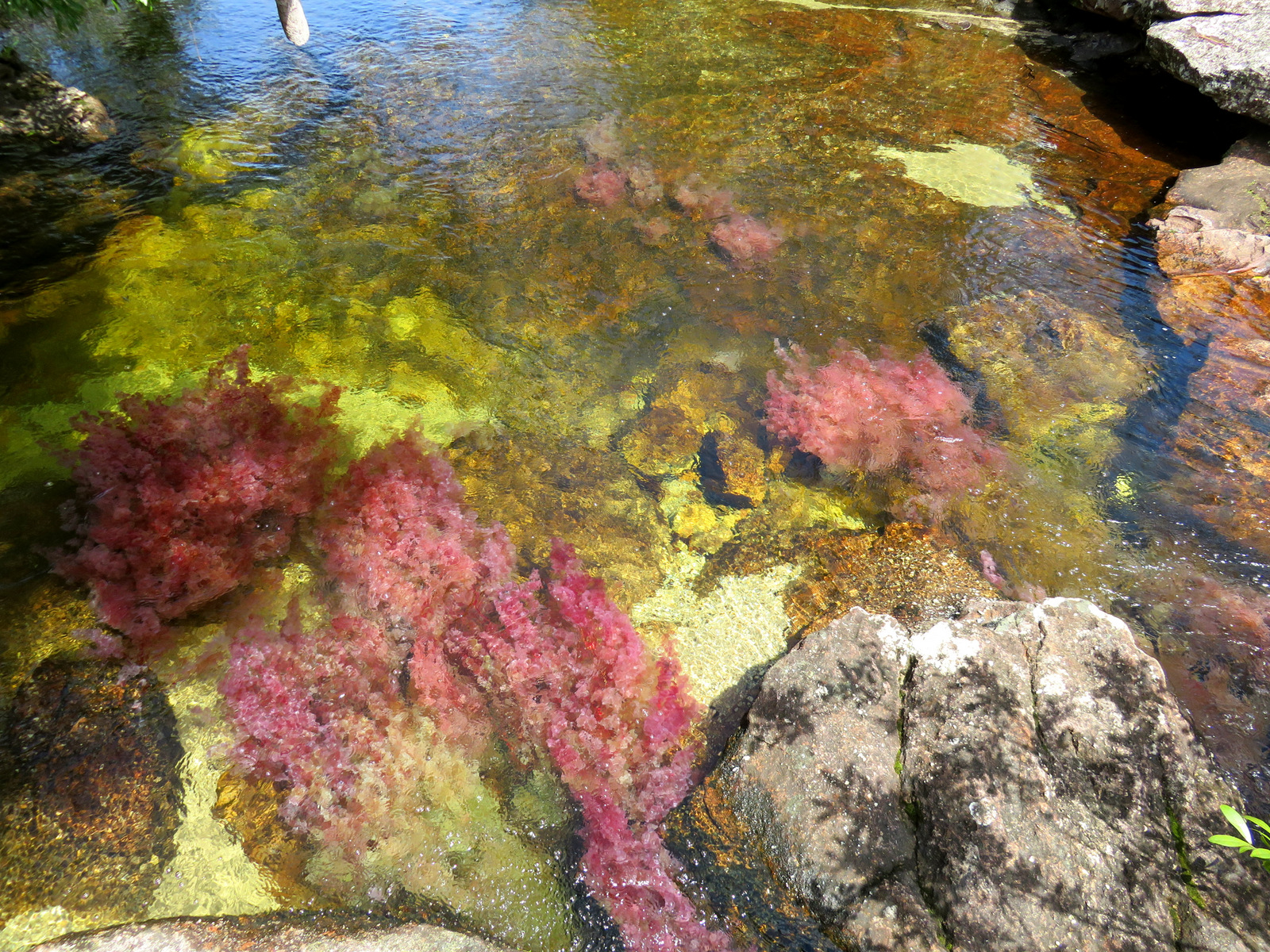
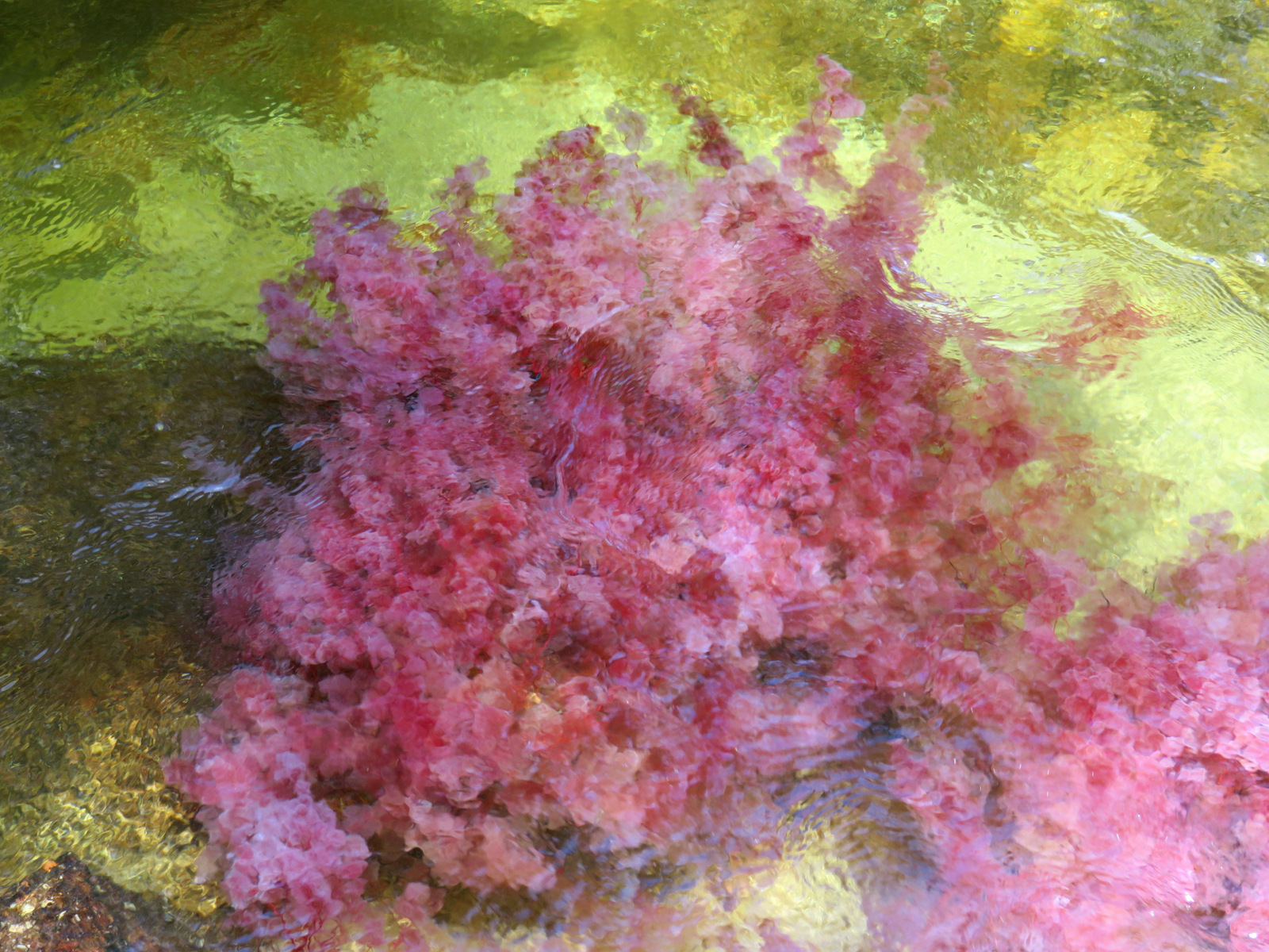
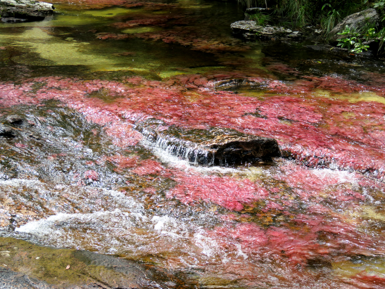
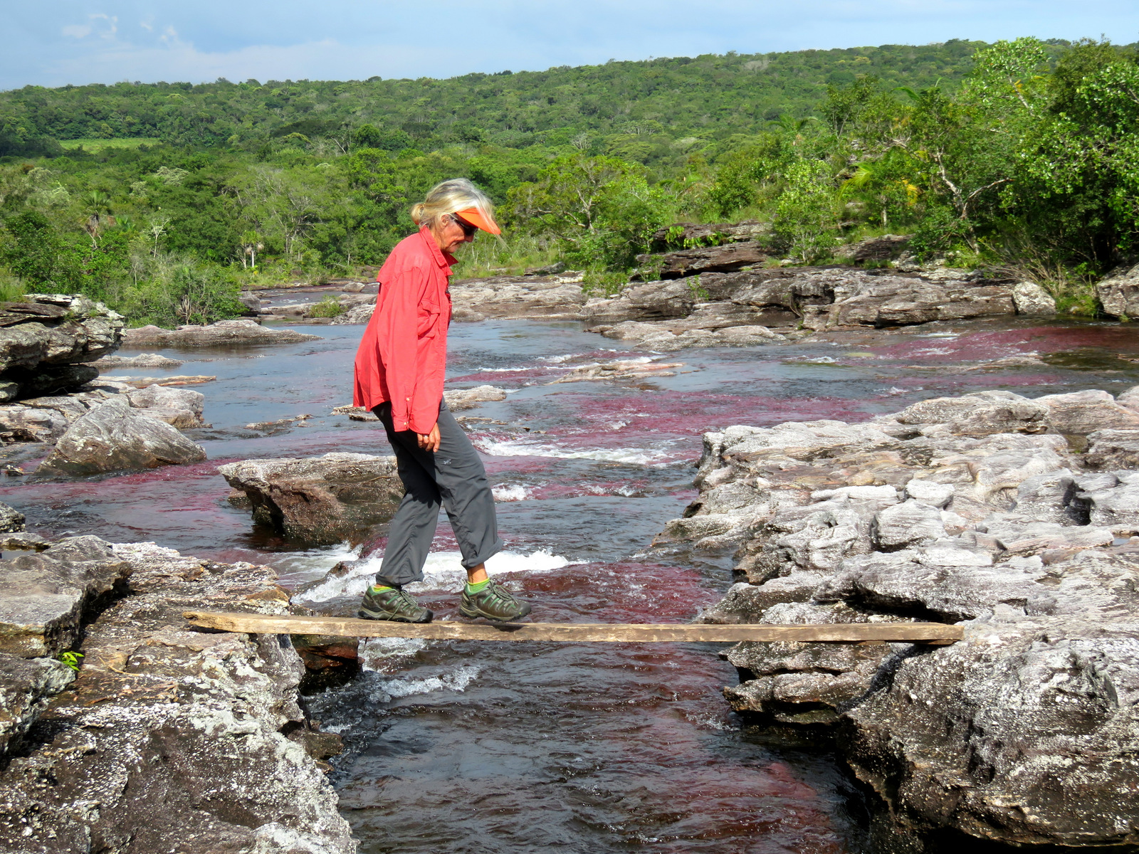
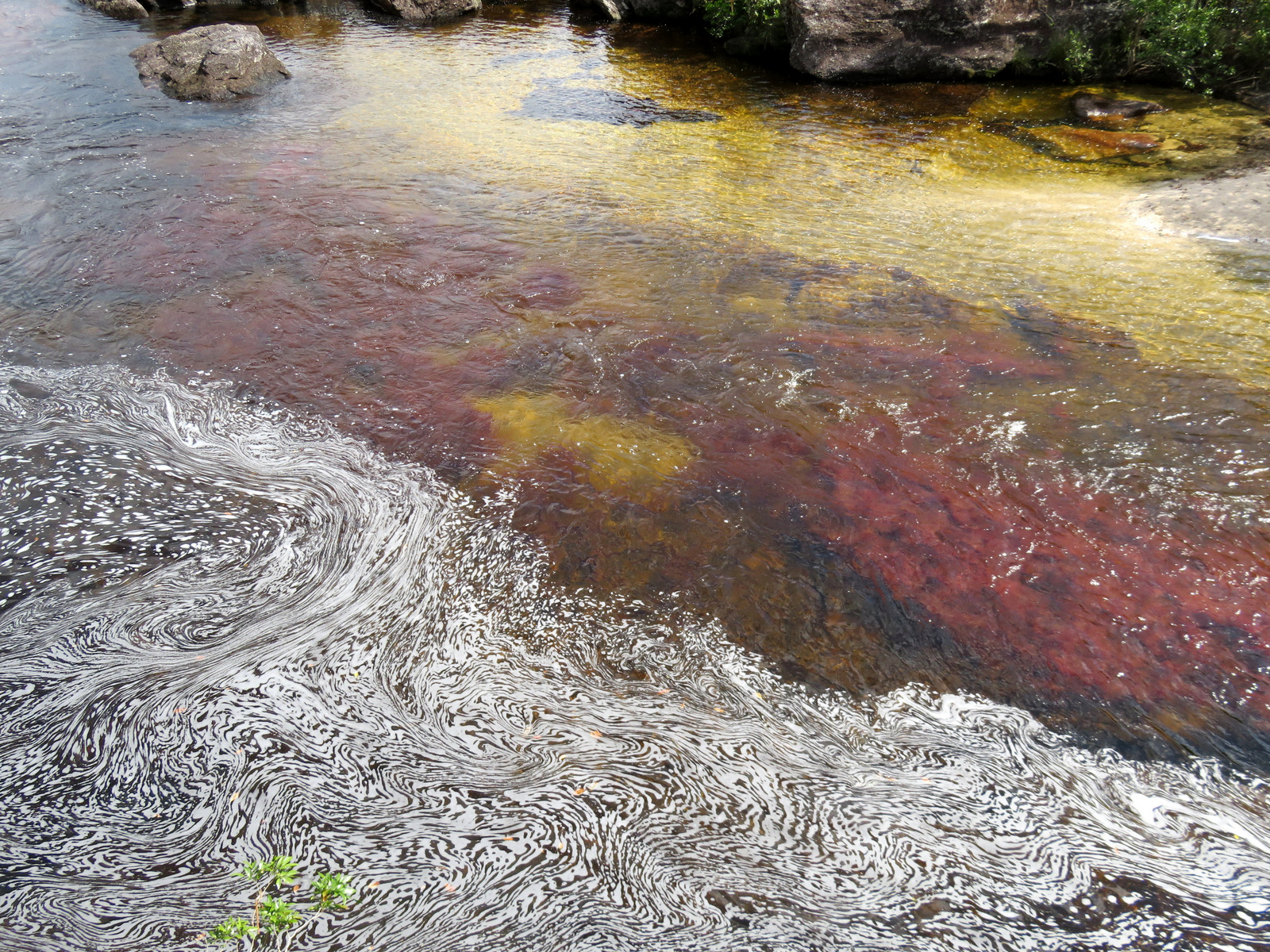
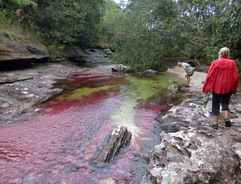
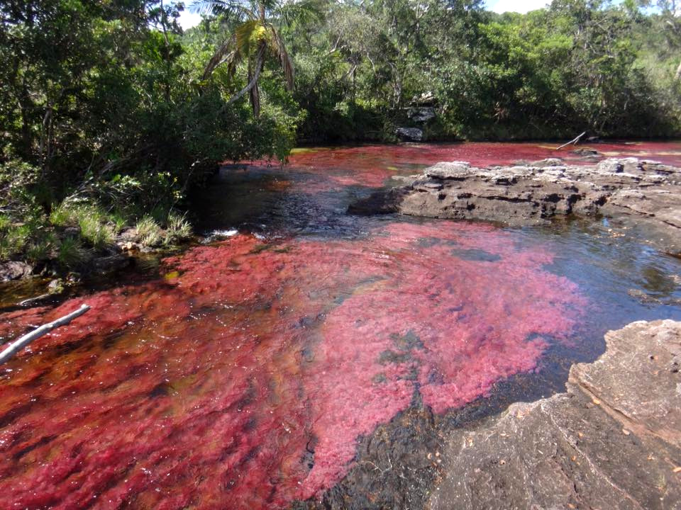
Then we started hiking, through the hills, down to creeks, past waterfalls, we waded through streams, and there it was: A flood of red fronds that reminded us of the red skeins of salmon roe. A psychedelic swirl of red, grey and green, aquamarines push up against eddies of red and fingers of yellow cut through pockets of bright green. Hard to put into words.

IMG_1083

Many waterfalls to negotiate.

IMG_1118 IMG_1093 IMG_1092 IMG_1088

IMG_1138

The only dry crossing, the rest of the time you have to wade.

IMG_1129 IMG_1126

IMG_1067

…or swim.

IMG_1058

…and hike some more…..

IMG_1055

This is a frailejone as well!!!

11828552_10153614185443223_1764109536004937925_n 11828553_10153614184368223_4538370066879345276_n 11863373_10153614200398223_960252882724868846_n

11880552_10153614170588223_4197164834472162448_n

Flannelfalterraupe!

11873354_10153614153278223_2078577263708221481_n

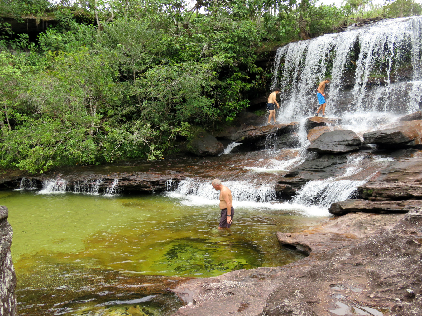
Cooling off in the swimming hole.

11889543_10153614203743223_5604392285252531495_n 11885365_10153614187558223_5428964683700366385_n

11903989_10153614172028223_2841928164236052418_n 11904075_10153614169623223_6953621829191331811_n 11905379_10153614155678223_4021799479695642774_n

We hiked all day for two days, it was hot, but we had plenty of water, both days Juliana brought along a delicious lunch wrapped in banana leaves. This is a popular tourist destination for Colombianos and we had fun driving into the hills with them one evening in – so we could watch the sunset. The ladies screamed every time we drove through a mud hole and at one point I though we would roll over, haha, in the end we all screamed.

11870900_10153614220578223_8413785562016022549_n

IMG_1141

They protected us!

In the morning of the third day, Juliana did a quick hike to a view-point on top of a hill and then we went to the airport where the mule cart took out packs back to the plane and we headed back to Bogotá.

← Back

Thank you for your response. ✨

Posted in Colombia | 2 Comments

Sierra Nevada del Cocuy

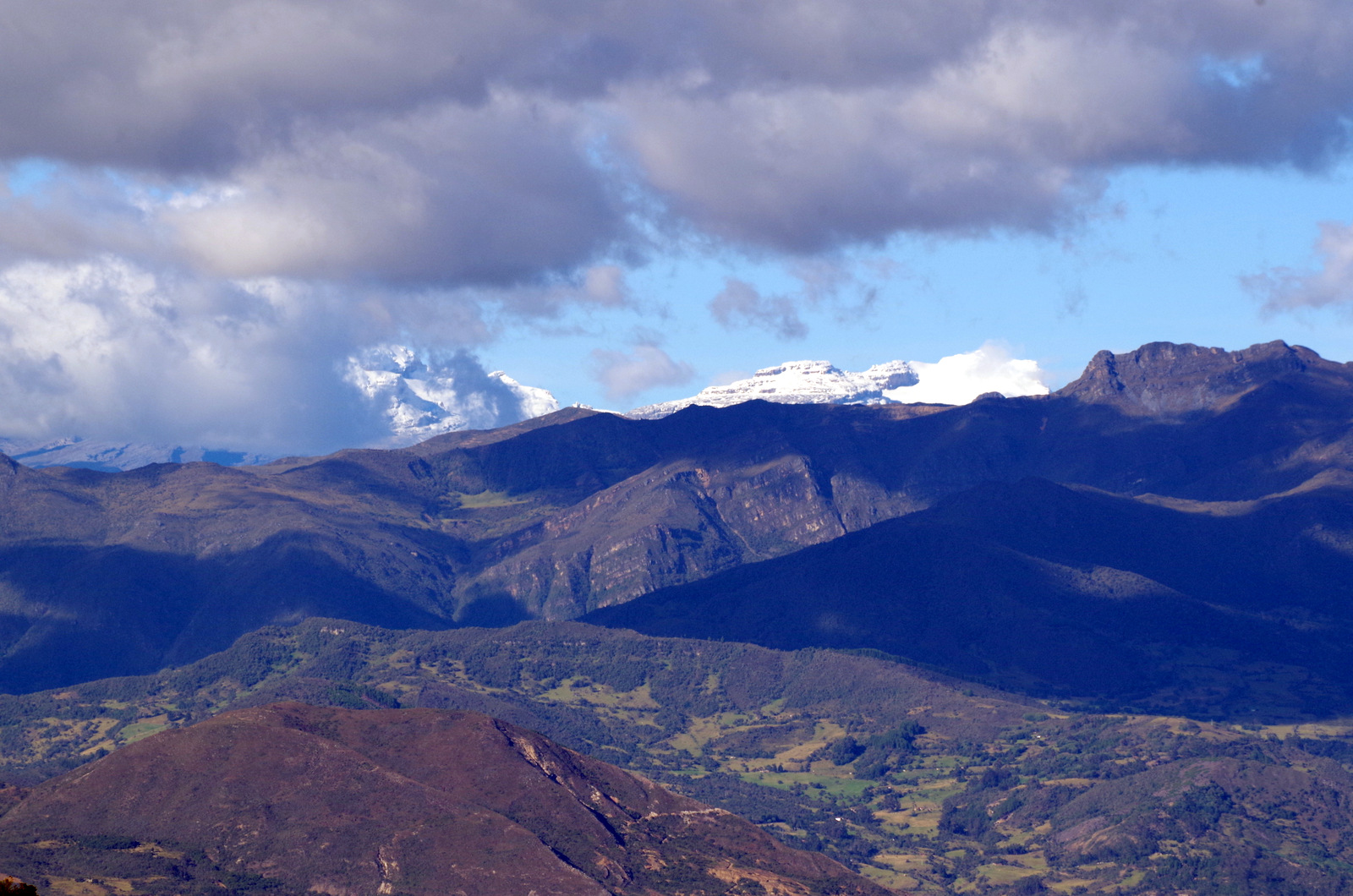
We had seen the snow-covered peaks from our camp spot at the pass between Mogotes and San Joaquin and we were looking forward to going there and do some hiking. It was the end of July and the weather up there this time of year can be cloudy and rainy, but that would not stop us. We have clothing and attitude for almost every kind of weather.

IMGP4303

The mountains are calling.

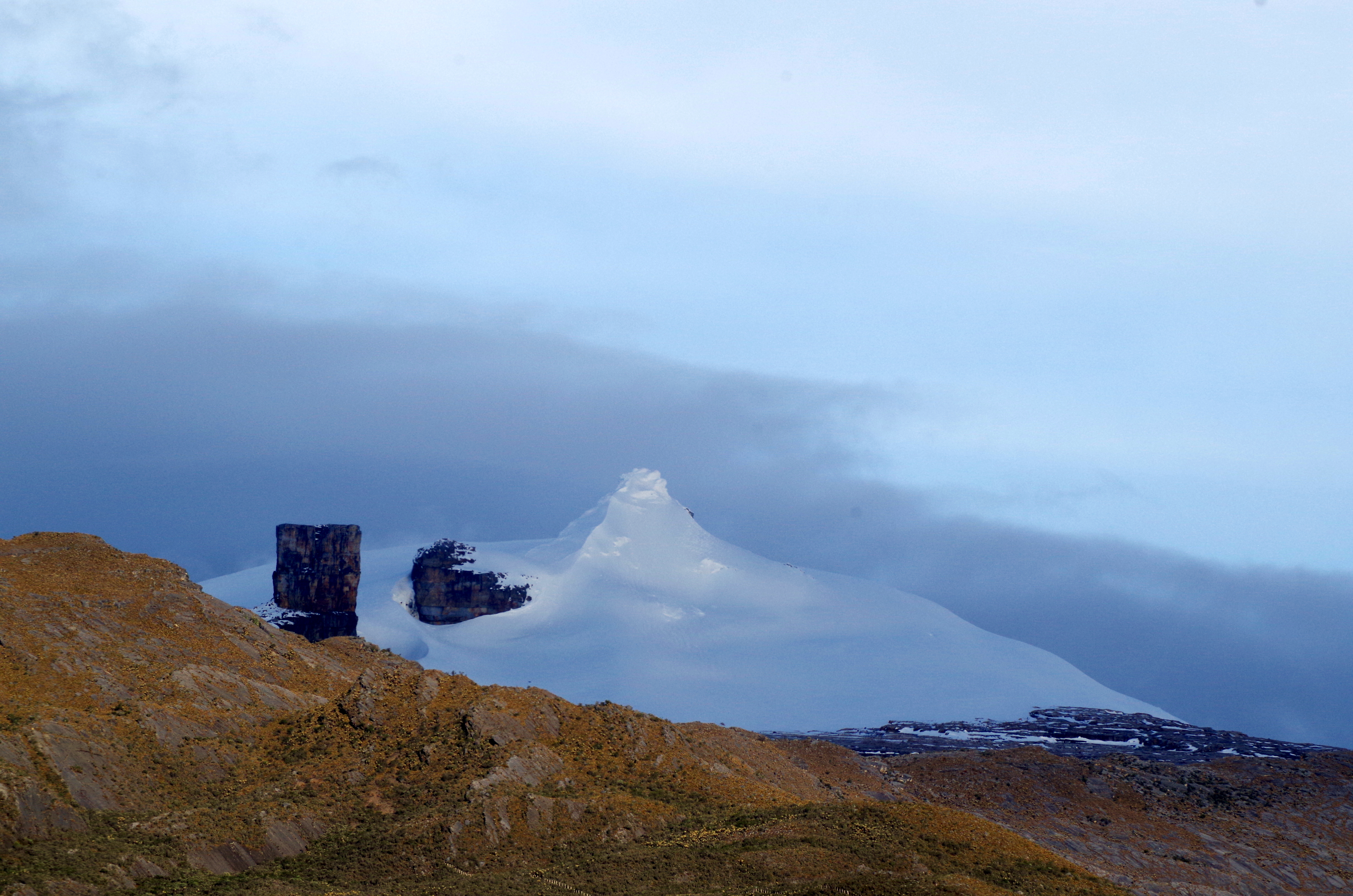
The Sierra Nevada del Cocuy consists of two parallel mountain ranges with several peaks that are over 5000 meters high and covered by glaciers.

IMGP4320

Pan de Azúcar and Pulpito del Diablo.

Map Cocuy

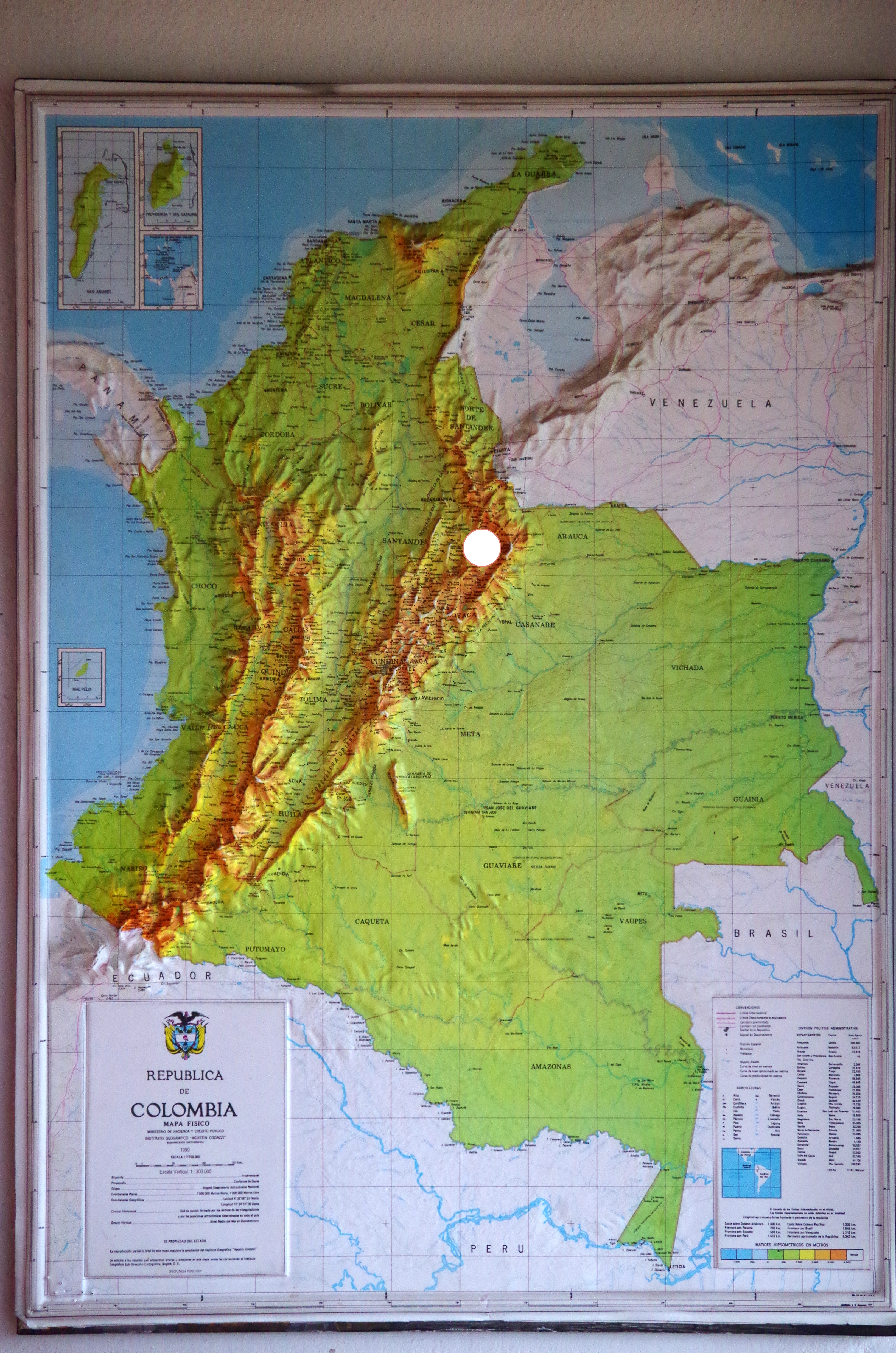
Colombia and Cocuy, the white dot.

But first we needed water, our tank holds around 270 liters and so far we were able to get good drinking water for it, now it was almost empty. Some overlanders just buy bottled water for drinking and fill the tank with non potable water for other uses. In the little town of Capitanejo there is a water purification plant so we headed down into the valley of the Chicamocha River. The water plant is very new and the owner proudly gave us a tour, we topped off the tank and were on our way again soon. Up a side valley we drove on a windy dirt road, a long one, it was slow going and the countryside very arid for a while. For those situations we plug-in our electronic device and listen to NPR podcasts that we usually download when we have wifi.

IMG_0633

IMG_0714

As we climbed higher it got greener and we passed little farm settlements, people on horses and loaded mules or donkeys. The countryside opened up and there were valleys and plateaus dotted with cows and sheep. The snow-covered peaks were getting closer, the air thinner and the temperatures lower. But oh, it was so beautiful, so much like the Alps (without big hotels and ski lifts everywhere).

IMG_0625

IMGP4323


IMGP4324

IMG_0623

El Cocuy, the town.

IMGP4312

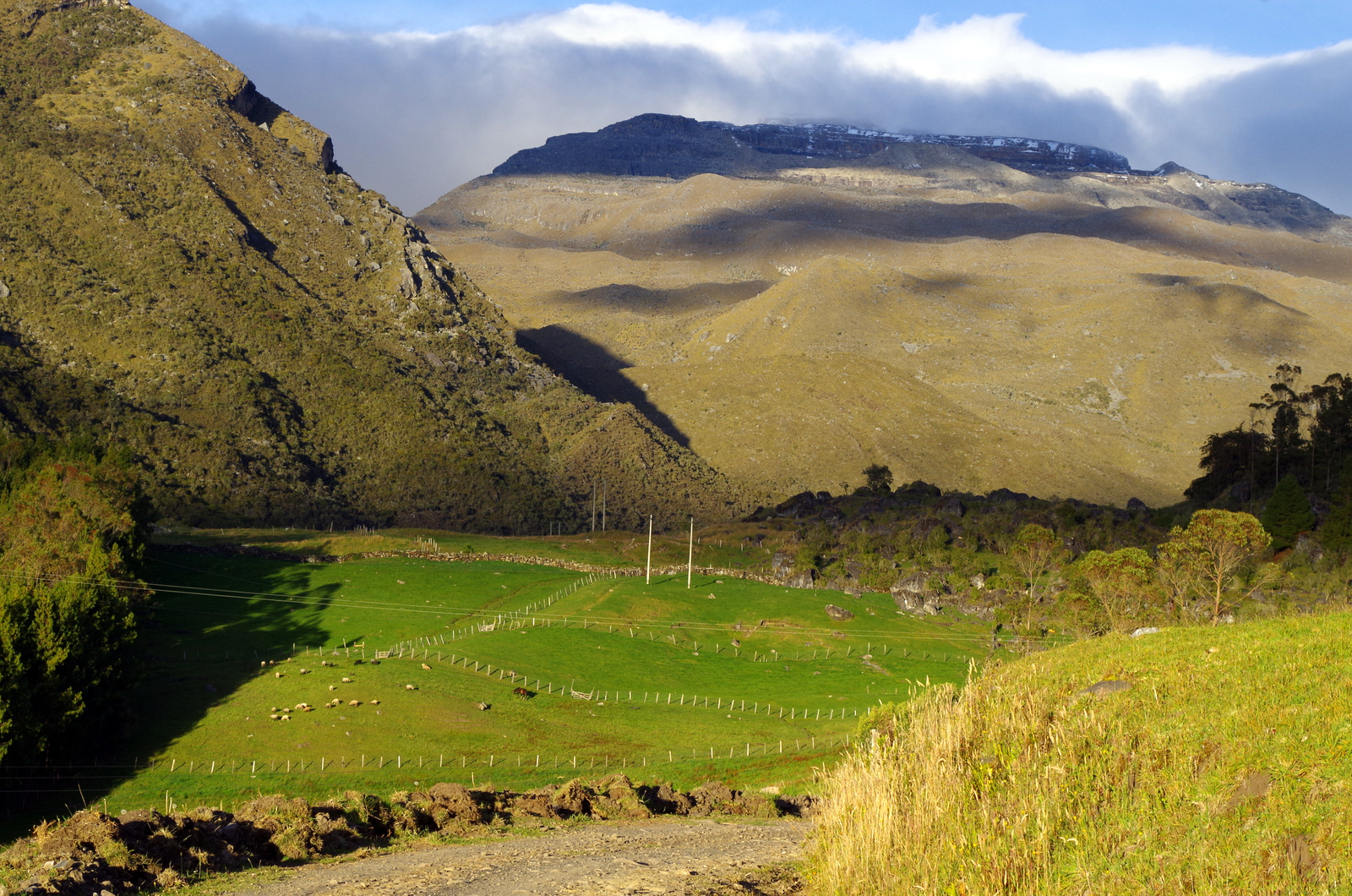
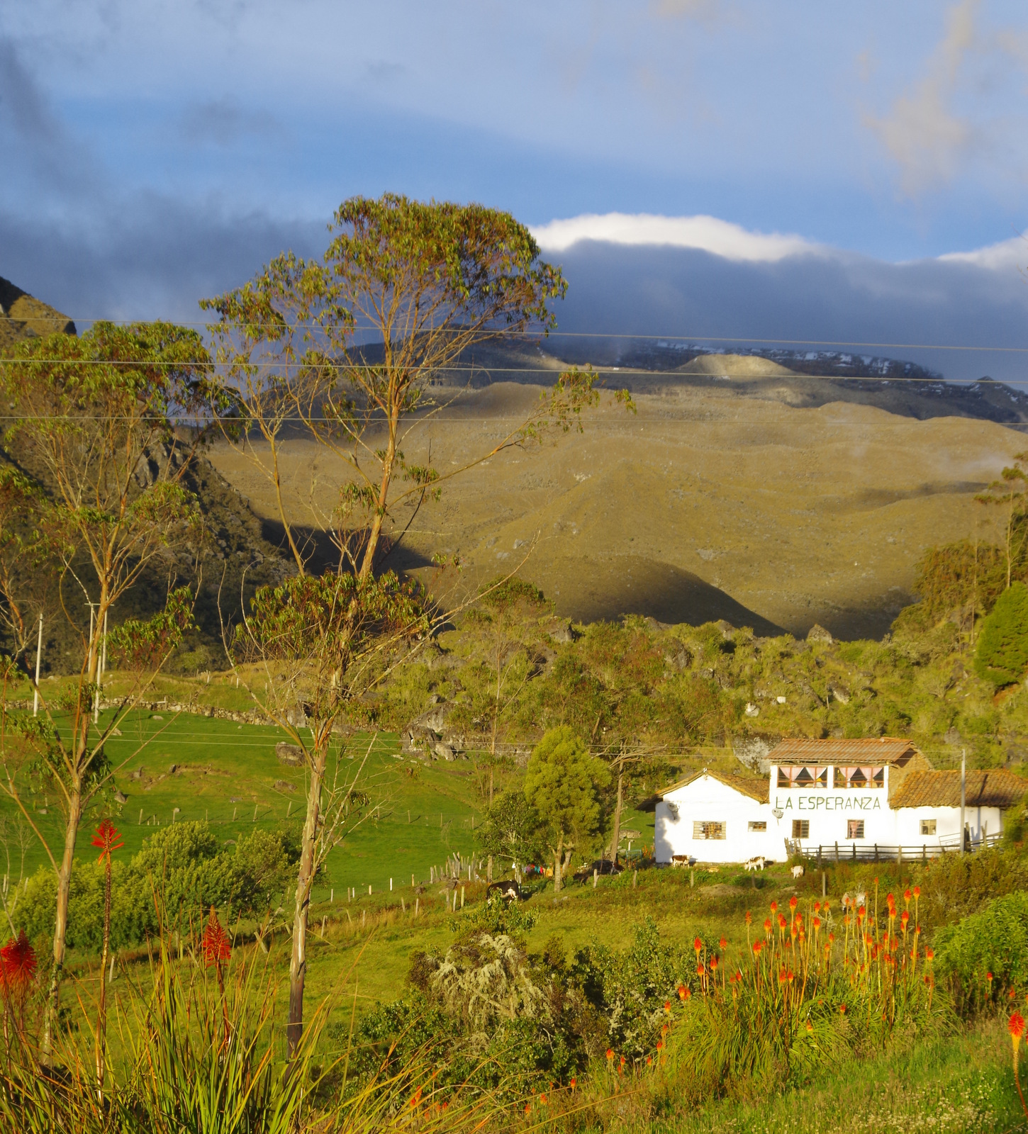
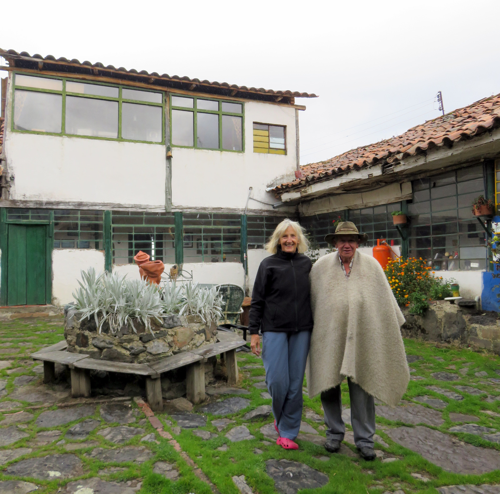
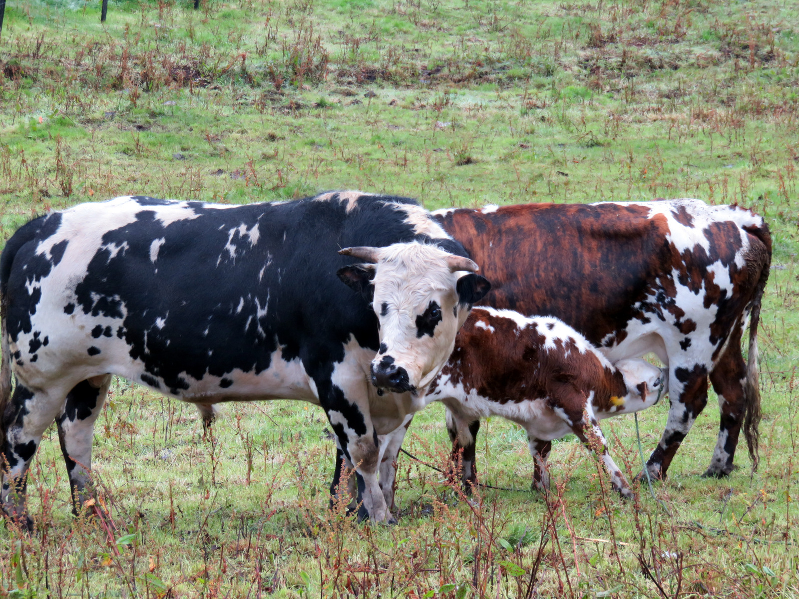
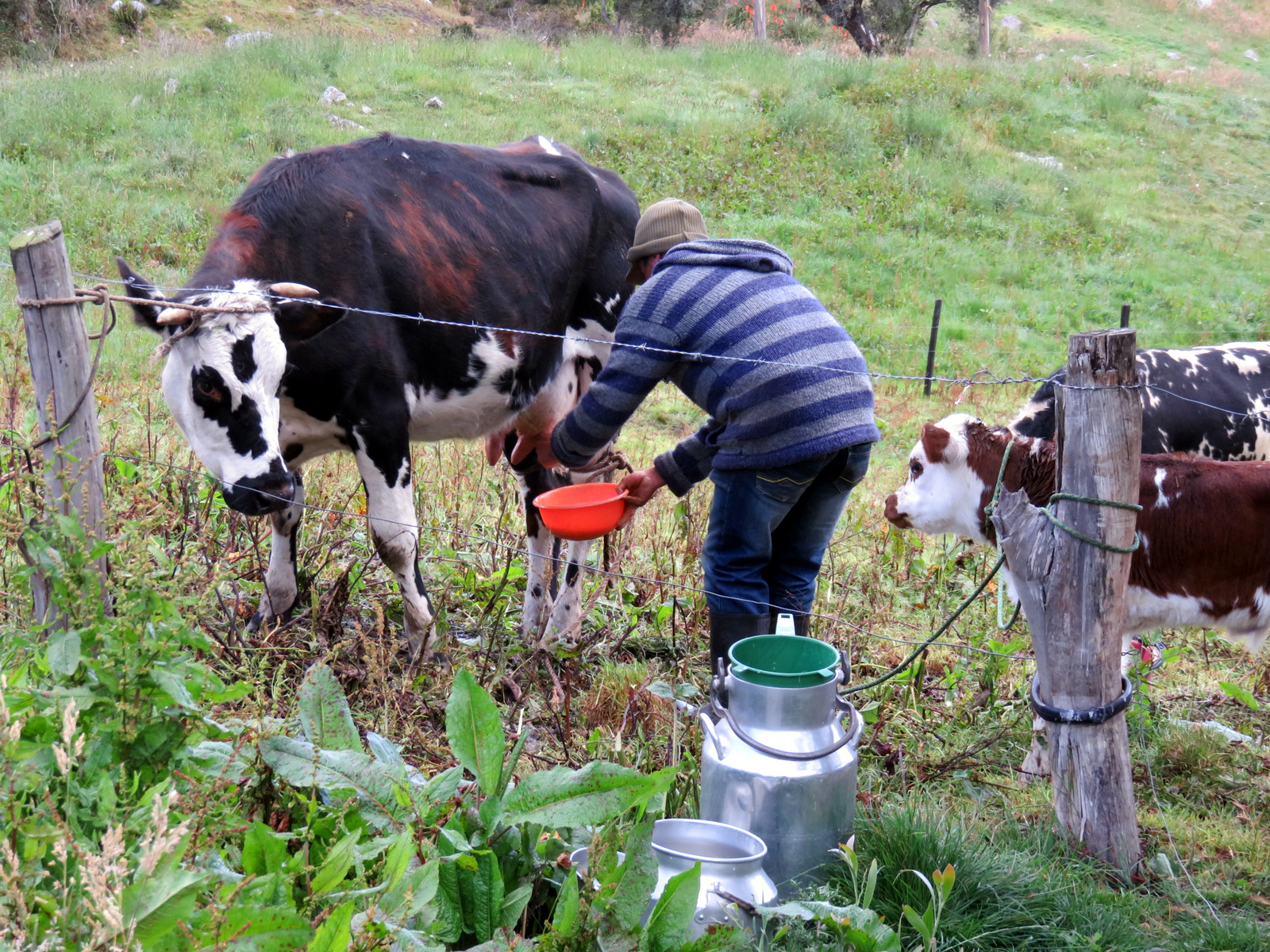
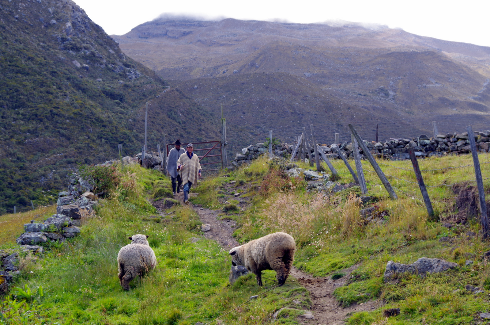
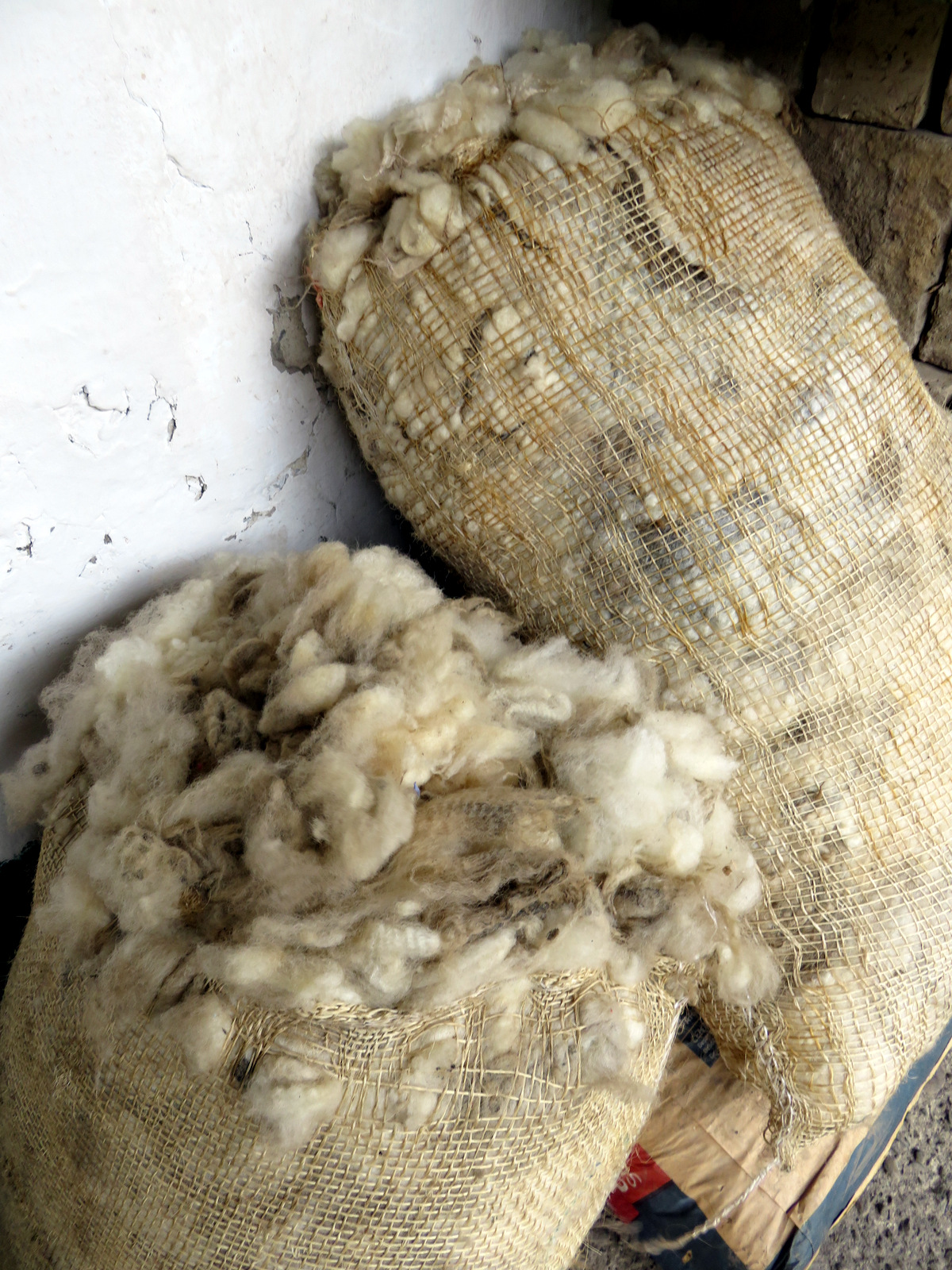
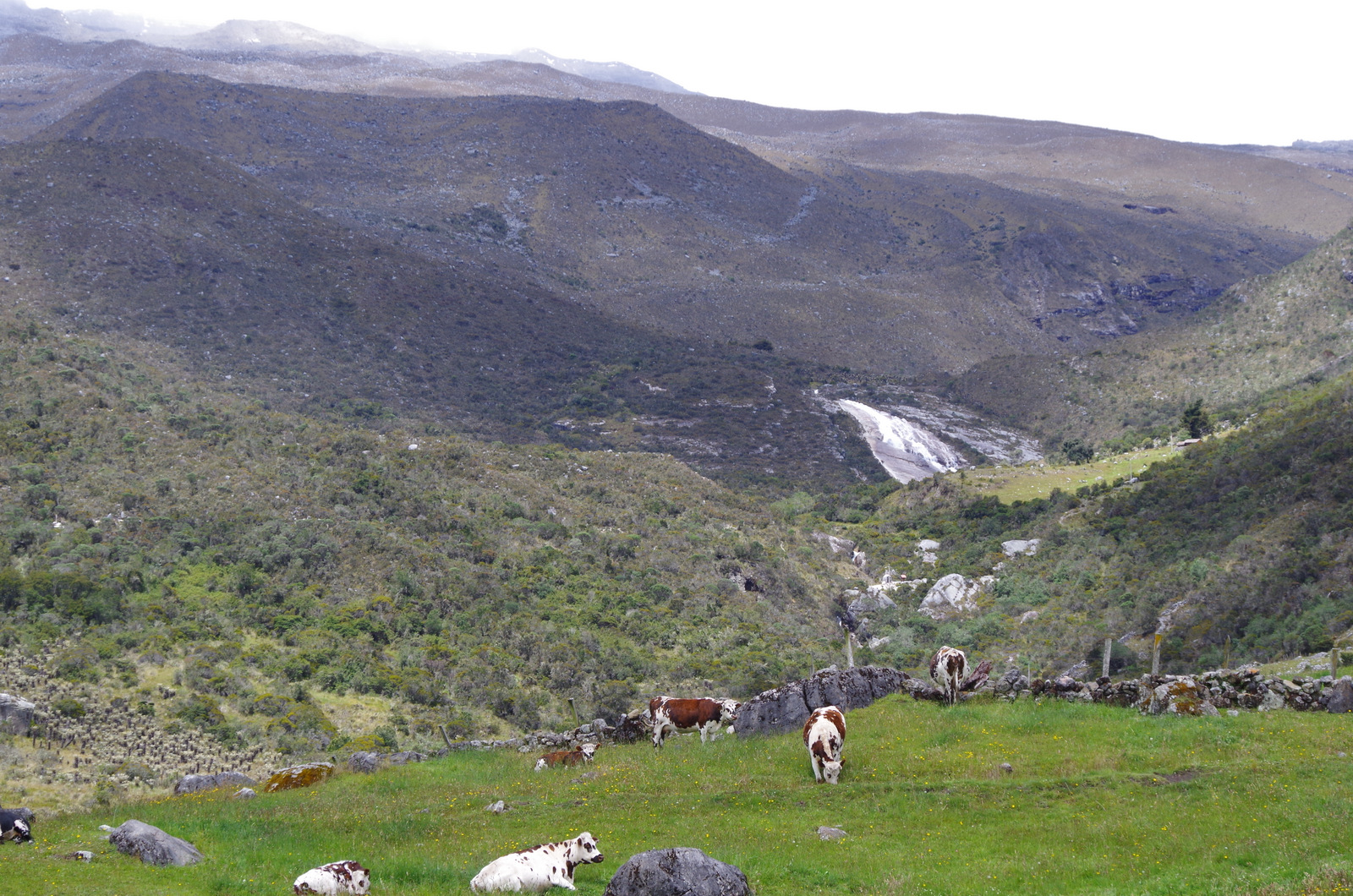
We stopped in the town of El Cocuy to get our park permit, show proof of accident insurance (we showed the Blue Cross card) and then drove to Hacienda La Esperanza at 3700 m. The owner greeted us and he and his farm workers were extremely friendly. They have Normande cows (the most popular breed in Colombia) that get milked every morning and we received fresh milk for our coffee. They also have Romney sheep and the owner told me that his grandfather had imported the breed over 100 years ago from Great Britain; the farm has been in the family for over 150 years.

IMGP4332

Hacienda La Esperanza

IMG_0691

IMG_0643

Normande cattle

IMG_0639

IMGP4381

IMGP4339

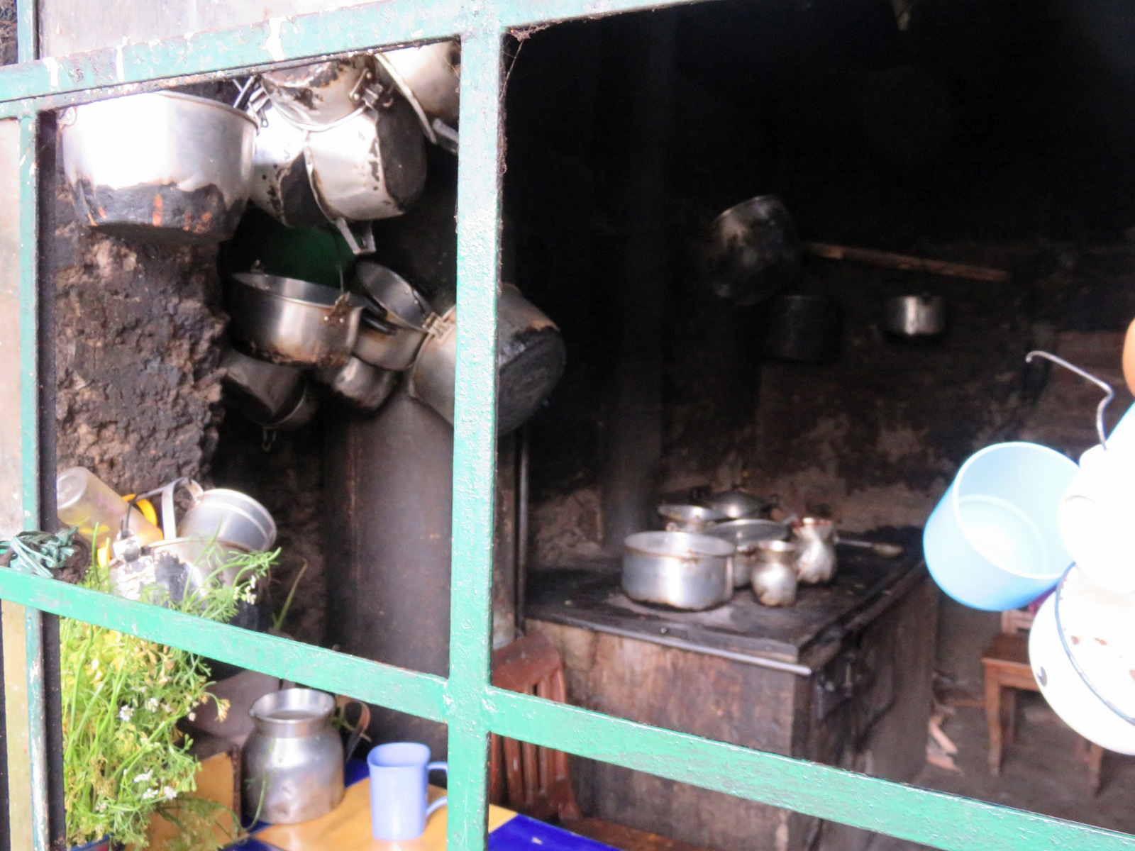
They rent rooms to hikers and climbers that come through on their multi-day treks. If they are busy you have to share your room. The food they cook is delicious and most the ingredients are from the farm. One evening we got pressed curds for dessert, with a splash of caramel sauce, delicious. Back home it is called “Zieger”, I never thought of eating it with caramel sauce. The evening meal is always served with hot sweet mint tea.

IMG_0702

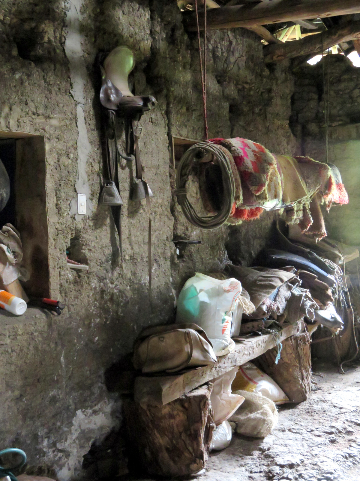
The tack room

IMG_0708 IMG_0703

IMG_0699


IMG_0698


IMG_0694 IMG_0692


IMG_0716

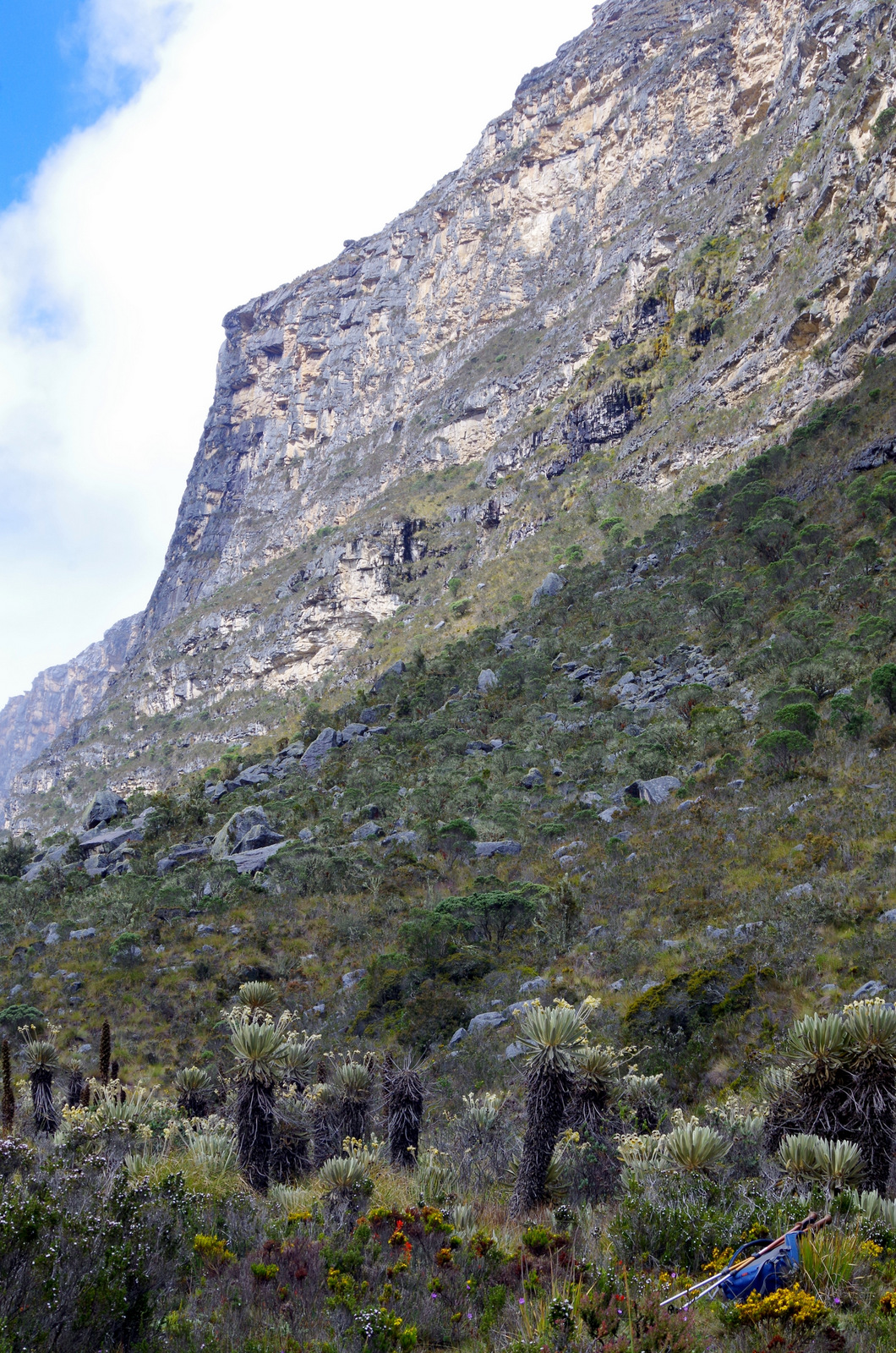
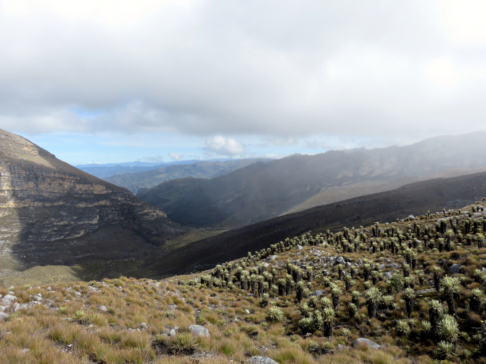
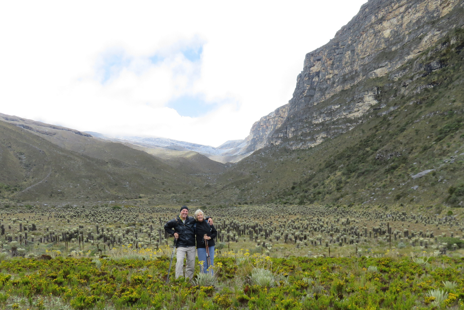
We stayed for a few days, spent the first full day hiking around the high valley and enjoying the views, flowers and birds. The endangered Andean Condor and some rare birds endemic to the area live here, as well as deer, the spectacled bear and Tigrillos (Oncilla) a small striped cat. Never saw them, but we were told by the park service ladies. Different kinds of frailejones and the important Colorado tree (that rarely exceeds 5 meters in height and grows at 4000 m) grow up there.

IMGP4380

IMGP4379

IMGP4346 IMGP4342

IMGP4363

IMGP4358

Frailejone flowers

IMGP4357

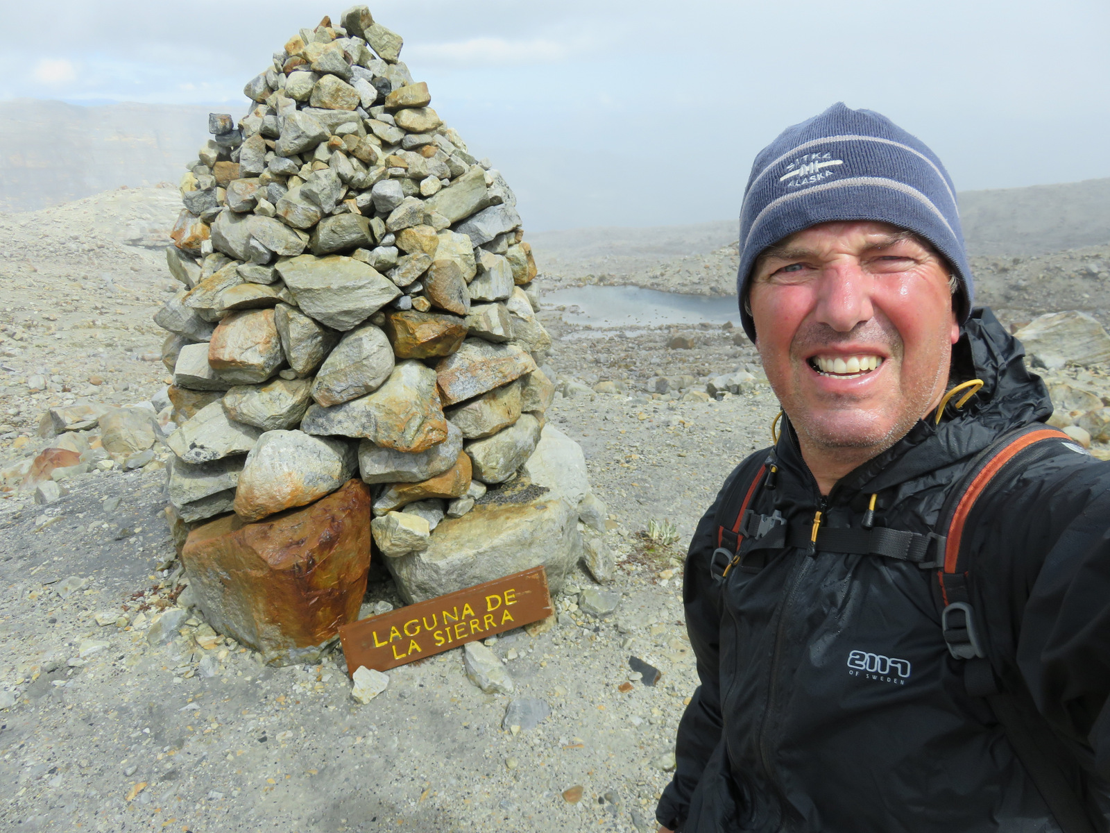
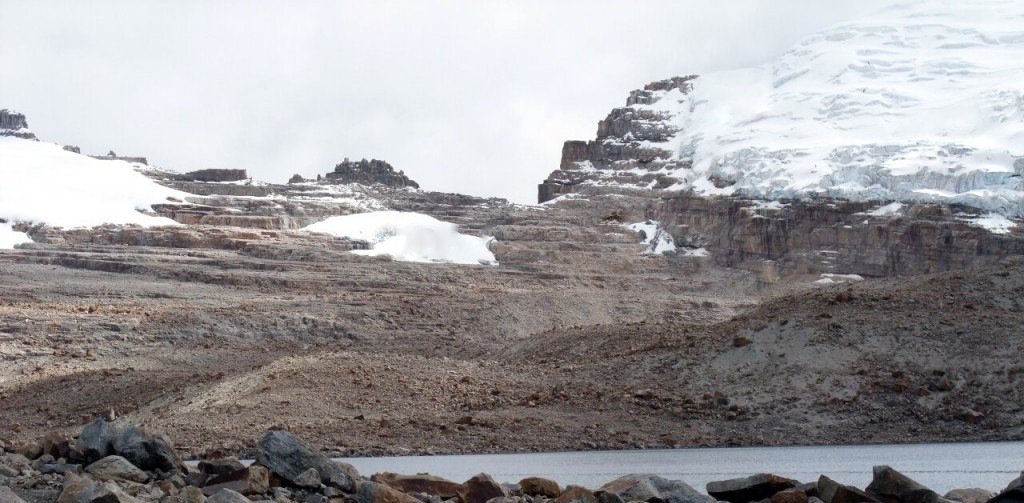
We had to wait to acclimate before we attempted to hike the 10 km up to the Laguna de la Sierra at 4800 m. To climb any of the peaks we would have to camp up there and we were not equipped for that. Still, we hiked up the second day, Günter all the way up, I stayed below the last hill and enjoyed the frailejone plants that covered the whole valley and even grew up on the rocks here and there. It was a beautiful, fairly easy hike, but the thin air slowed me down. It took Günter 2 1/2 hours to hike to the Laguna de la Sierra, then thick fog rolled in and prevented him from hiking all the way over to the glacier. When he came back down we met up and ate our lunch beside a brook under the frailejones.

IMG_0673 IMG_0666

DSCF7137-1024x768

This is a popular hike in high season (winter) and even when we were there we met a few hikers, French guys (no packs or supplies, with Converse shoes and a guitar), two American girls, and French girl with guide, and the speedy Belgian called Robin from Antwerp. That evening we all sat by the fire and talked about our travels and how amazing Colombia is. In the morning the milk truck (lechero) comes by and collects the milk from the farmers who bring the milk containers down to the road on their backs or with their horses. The truck makes many stops and hikers can catch it to go from A to B, very practical but also very slow. I could have stayed longer and made a mental note to someday come back, stay at the hacienda for a while, hike to the other haciendas and explore the valleys and mountains. Some day!

IMG_0680

The drive from El Cocuy (the town) up to Hacienda La Esperanza, as well as the drive from there to Guican and down to Soata in the Chicamocha Valley (via Guacamaya – San Mateo – La Uvita) is spectacular and one should take time to enjoy the views and countryside.

IMG_0629 IMG_0628

IMGP4374 IMGP4366 IMGP4365IMGP4350

IMGP4352

← Back

Thank you for your response. ✨


Posted in Colombia | 5 Comments

Colombia: Cartagena to El Cocuy

20150720_095646

Cartagena

On the 15th of July we set sail for Colombia, said good-bye to the North American continent and the next morning we had Cartagena on the horizon. Buenos Dias South America! We disembarked in Cartagena harbor – but not our vehicles.

It takes a few days to get your vehicle back, more paperwork and waiting. I marched behind Michael from station to station and back while Vroni and Günter had to wait for us. You are required to buy life insurance in order to enter the harbor. It is a good idea to bring along some reading material for the longer wait periods.

Cartagena

The Hotel Artelleria in Getsemani was our home for a week, a nice place in walking distance to the historic town and a save parking lot just around the corner. They had A/C, a small rooftop pool and lots of fruit for breakfast.

IMG_0214

The worlds biggest shrimp cocktail.

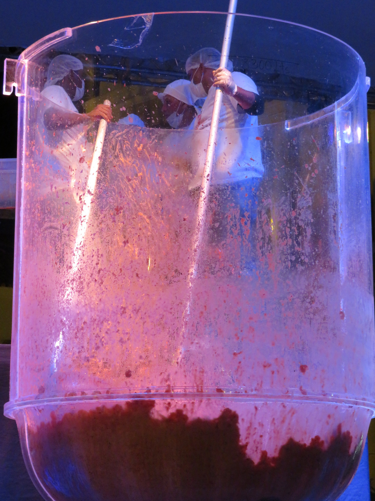
One day when we wandered around town, we watched as a crowd gathered on a plaza. Up on stage there was a huge see-through round container, speeches were held and boxes and boxes of cooked shrimp were dumped into this container, salsa was poured and more speeches and shrimp added. Finally everybody lined up for a cup of shrimp cocktail. Not until the next day did we find out that they had broken the Guinness World record (held by Mexico) and created the biggest shrimp cocktail ever. So much for our Spanish.

IMG_0182

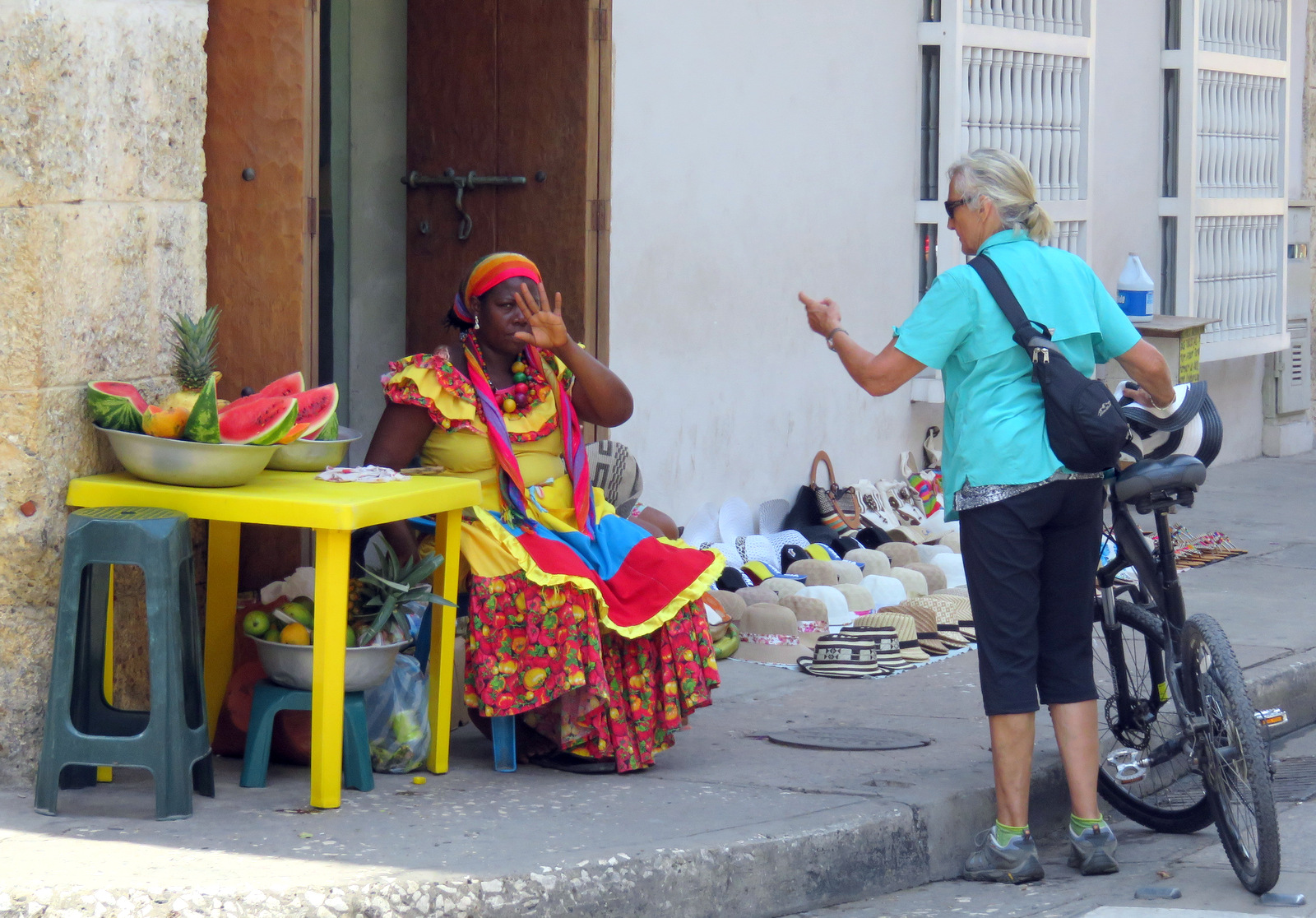
We bought some ice cold watermelon.

20150720_094056

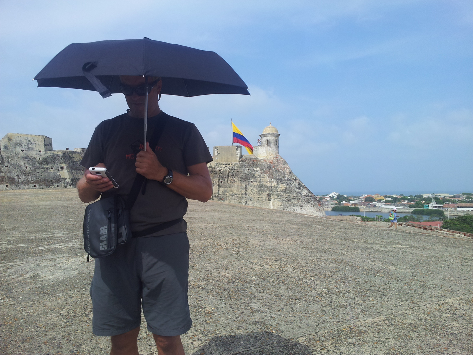
On the fort, so glad we brought our umbrellas.

We rode the bicycles around town on Sunday morning, along the wall and through the little streets, went to a museum and all the churches. The following Monday was Independence Day with a parade, music and dancing.

IMG_0278

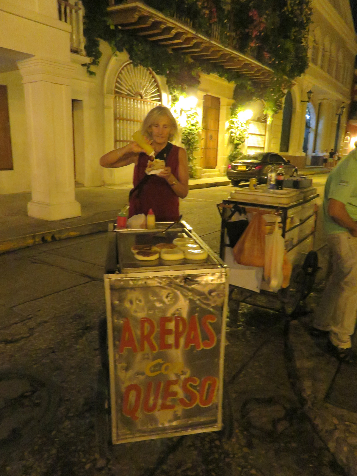
Cheese filled arepas for dinner, this one I topped with pineapple syrup.

IMG_0279 IMG_0261


20150720_205146


IMG_0234

Getting lost in Castillo San Felipe

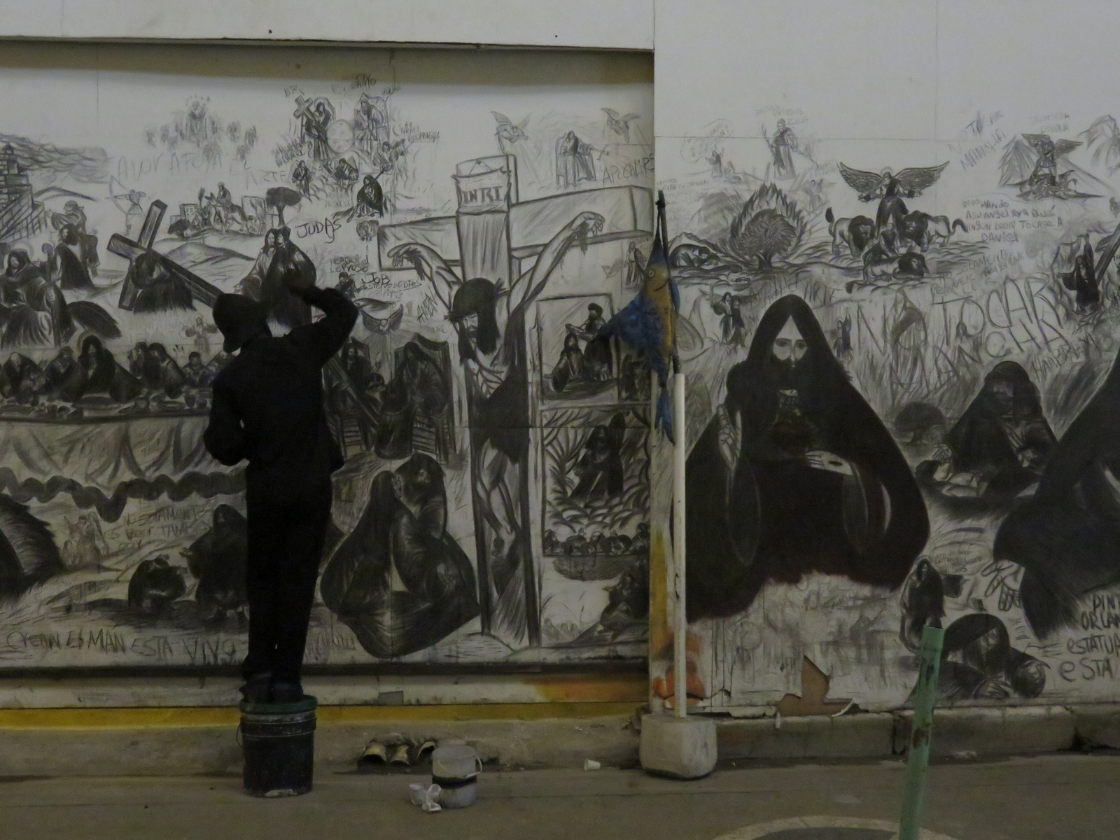
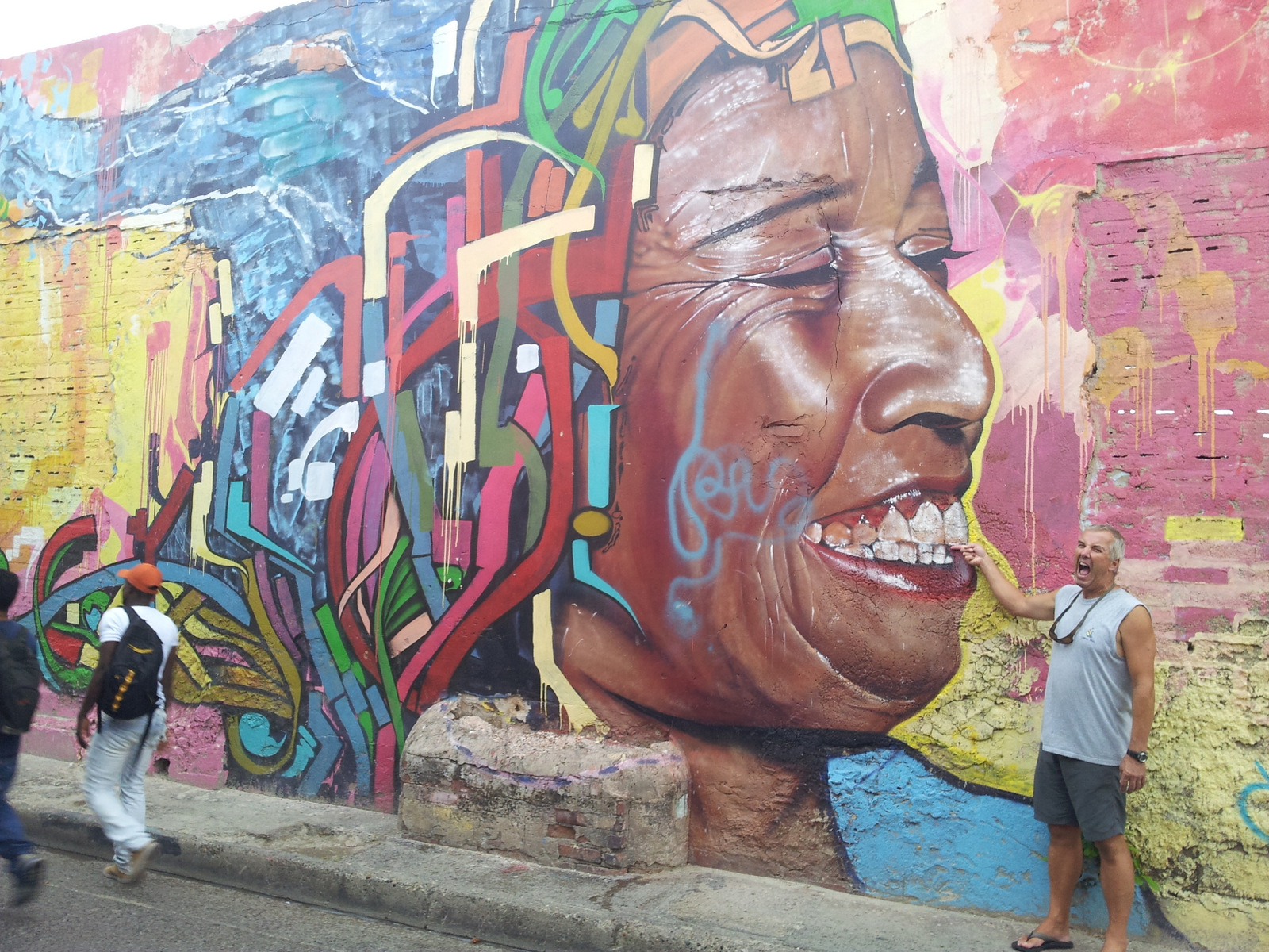
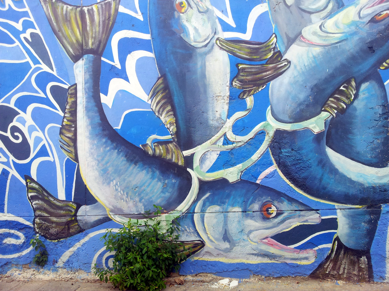
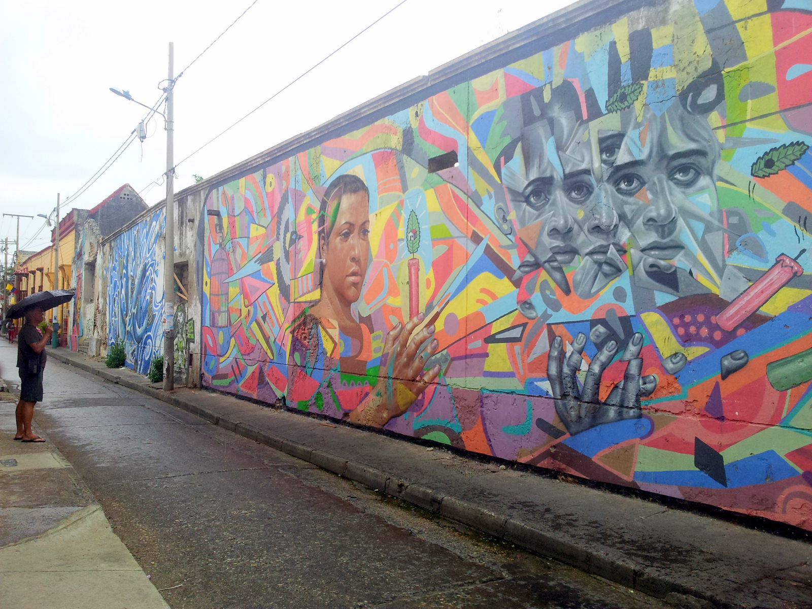
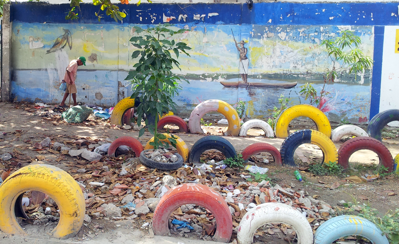
Murals around town:

IMG_0211

He only painted at night….

20150718_141130

Ohne Worte 🙂

20150720_115257

Colombian salmon?

20150720_115201

20150721_094900

Soon we had enough of city life, said good-bye to Vroni and Michael and took off for the Caribbean part of Colombia.

20150721_085750

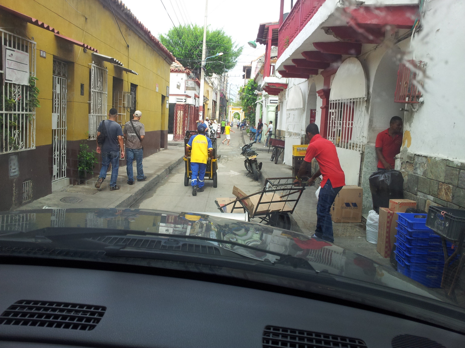
Trying to find our way out of the city.

Sierra Nevada de Santa Marta

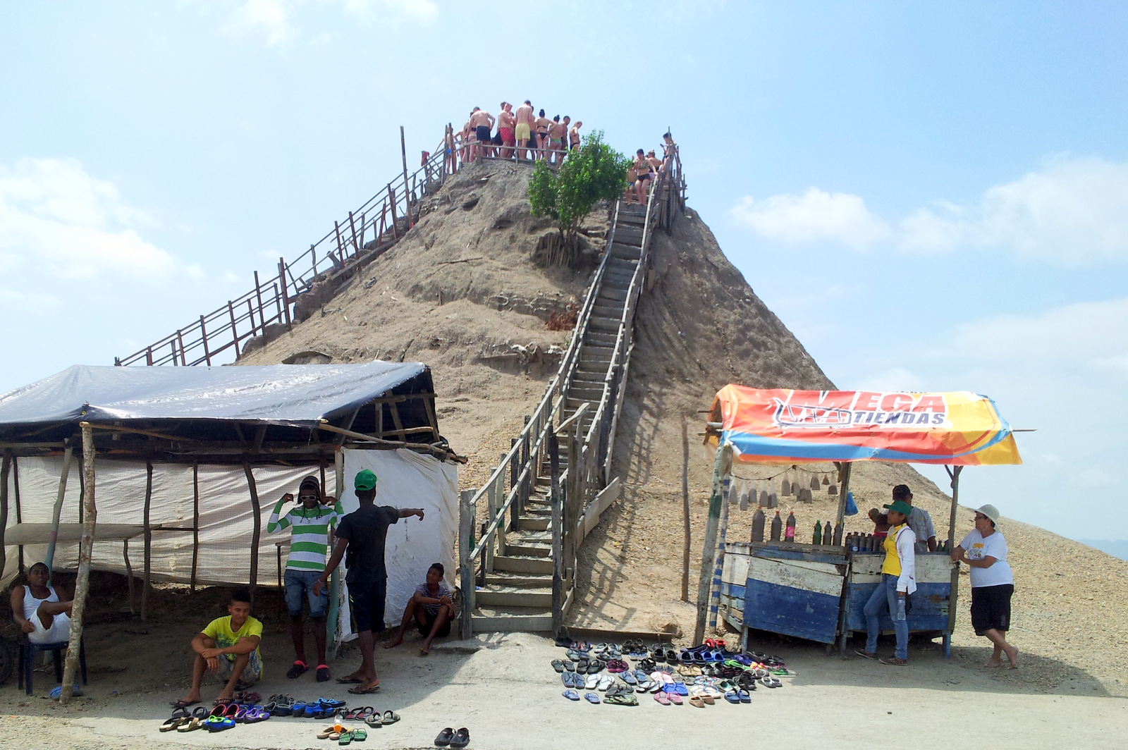
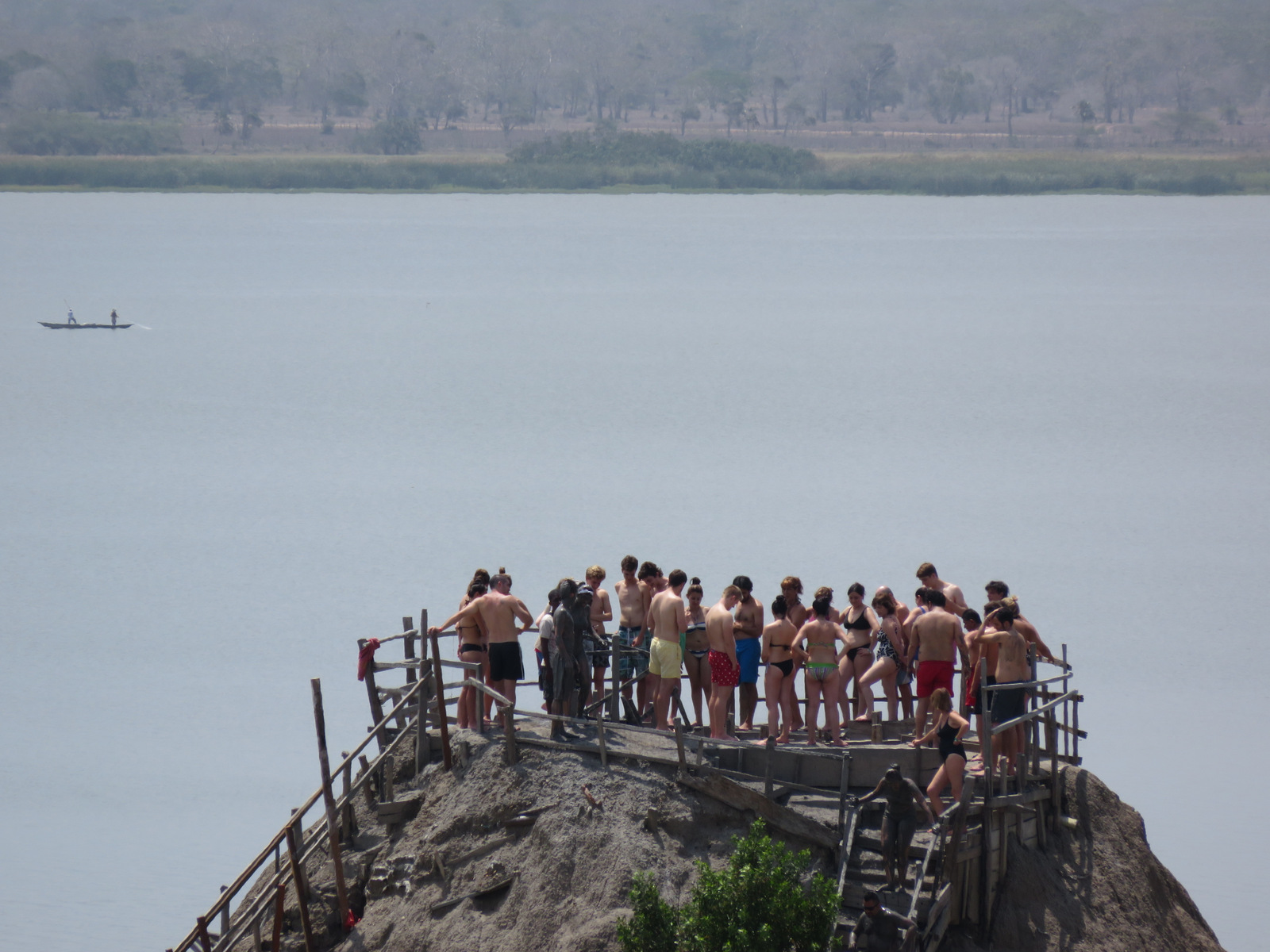
On the way there was a famous tourist spot were you can take a mud bath on Volcano del Totumo, a so-called “mud volcano” we wanted to check it out but split the scene when we saw several tour buses idling (to keep them cool) and swim suit clad tourists queued up from below and all the way up to the mud hole which is located on top of a dirt cone. For a fee you can wallow in the mud, it did not look very inviting.

20150721_105330

Mud volcano

IMG_0294

Go for it!

We drove on, through Barranquilla, the town was choked with trucks and slums and garbage, we needed some peace and quiet and wanted to get away from more of the same and the heat.

IMG_0295

A little blurry because it took it through the car window, the other side of the beautiful Caribbean.

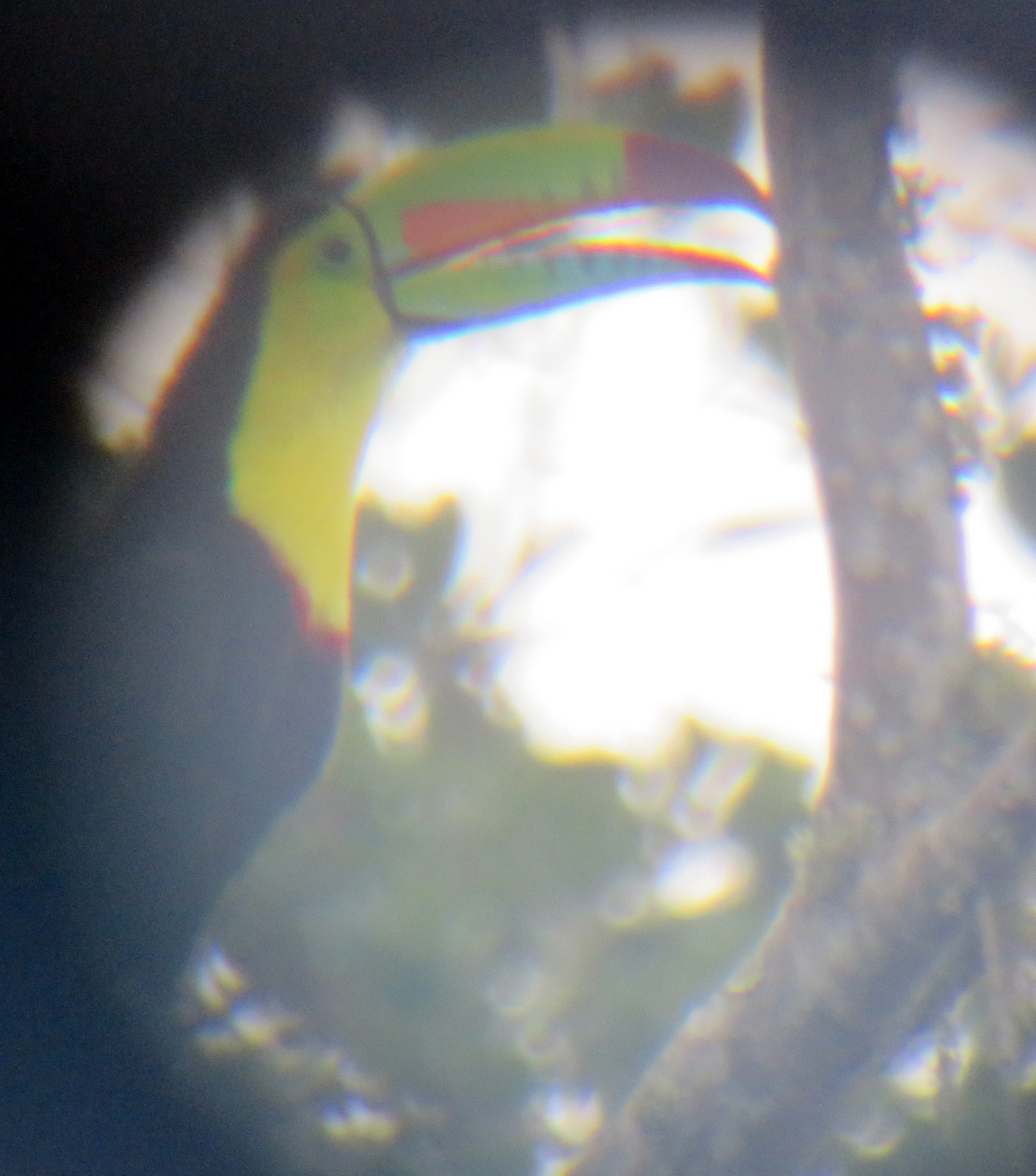
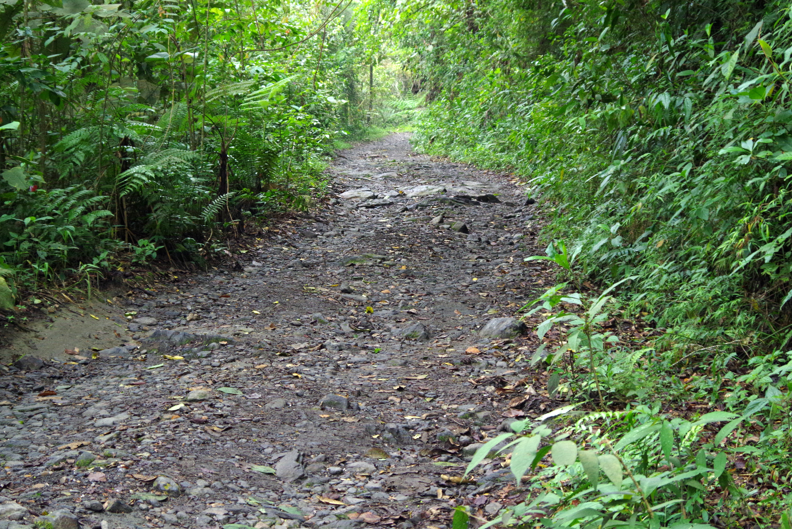
So we skipped the beaches there and drove up to the cloud forest of the Sierra Nevada mountains hoping to be able to find cool air and something tranquil to spend a few days. Most of this area is a national park and most of it is closed off for hiking or exploring. It is the home of around 30 000 indigenous people, descendants of the Tayronas and holds many sacred sites including Ciudad Perdida (older than Machu Pichu). We drove up near the town of San Lorenzo, camped beside the road at around 1600 meters and went hiking. This road is pretty rough and should not be attempted without 4×4 and high clearance. We hiked higher on the road, the clouds rolled in and rolled out, the sun came and went, so did the drizzle. It was wonderfully wild up there, many birds that are endemic to only this mountain range inhabit the forest, we saw flocks of Santa Marta Parakeets, a keel billed toucan and numerous other birds. There are also monkeys and many other mammals, reptiles like the glass frog live here undisturbed. The highest peak is 5776 meters, most of the highest peaks are snow-covered, but we were not even close and never saw them.

20150722_150632

IMG_0299

Higher….

IMG_0298

…and higher.

IMGP4165

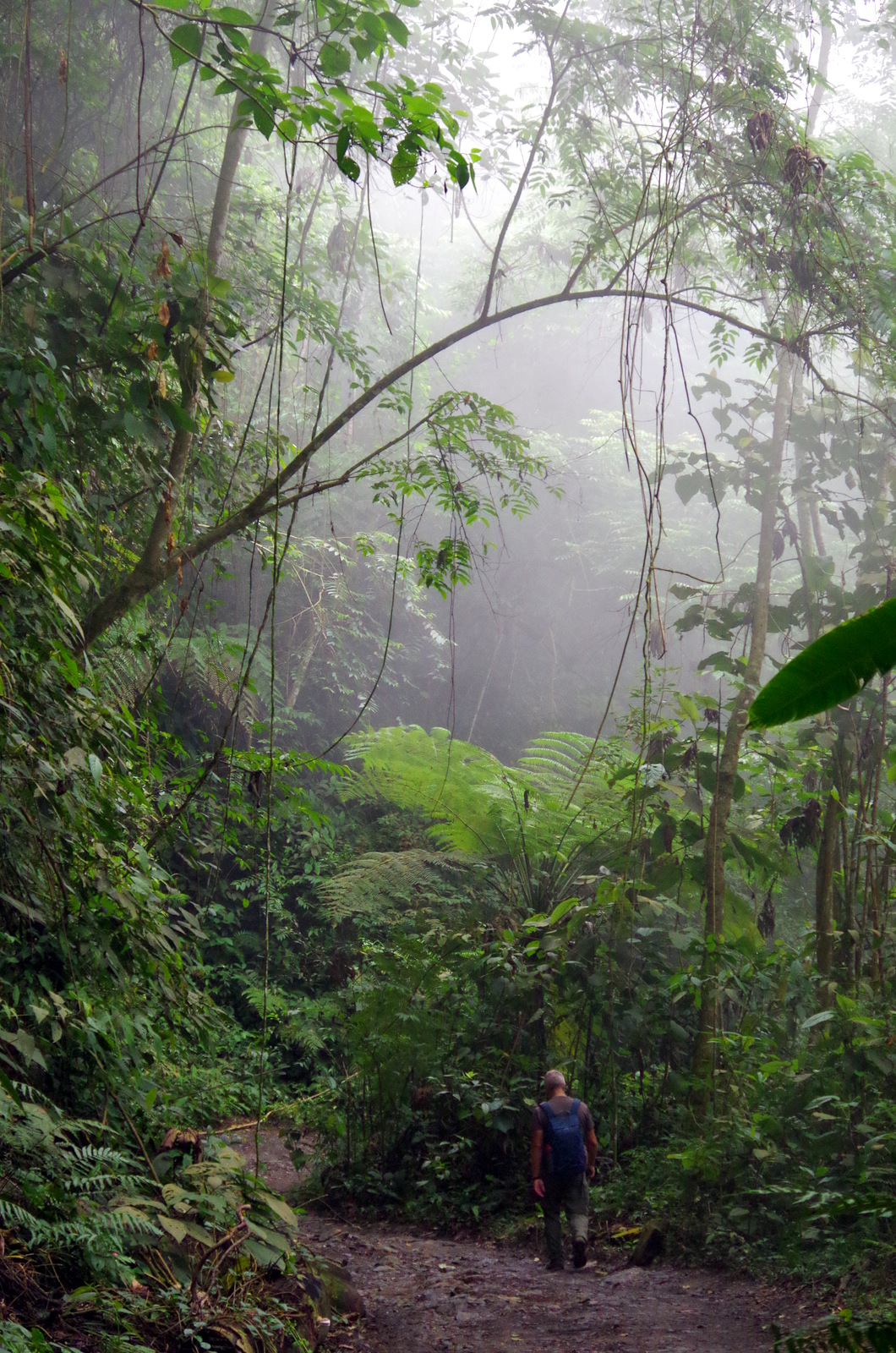
Seltsam, im Nebel zu wander! (Wondrous to wander through mists!) Hermann Hesse

IMGP4176

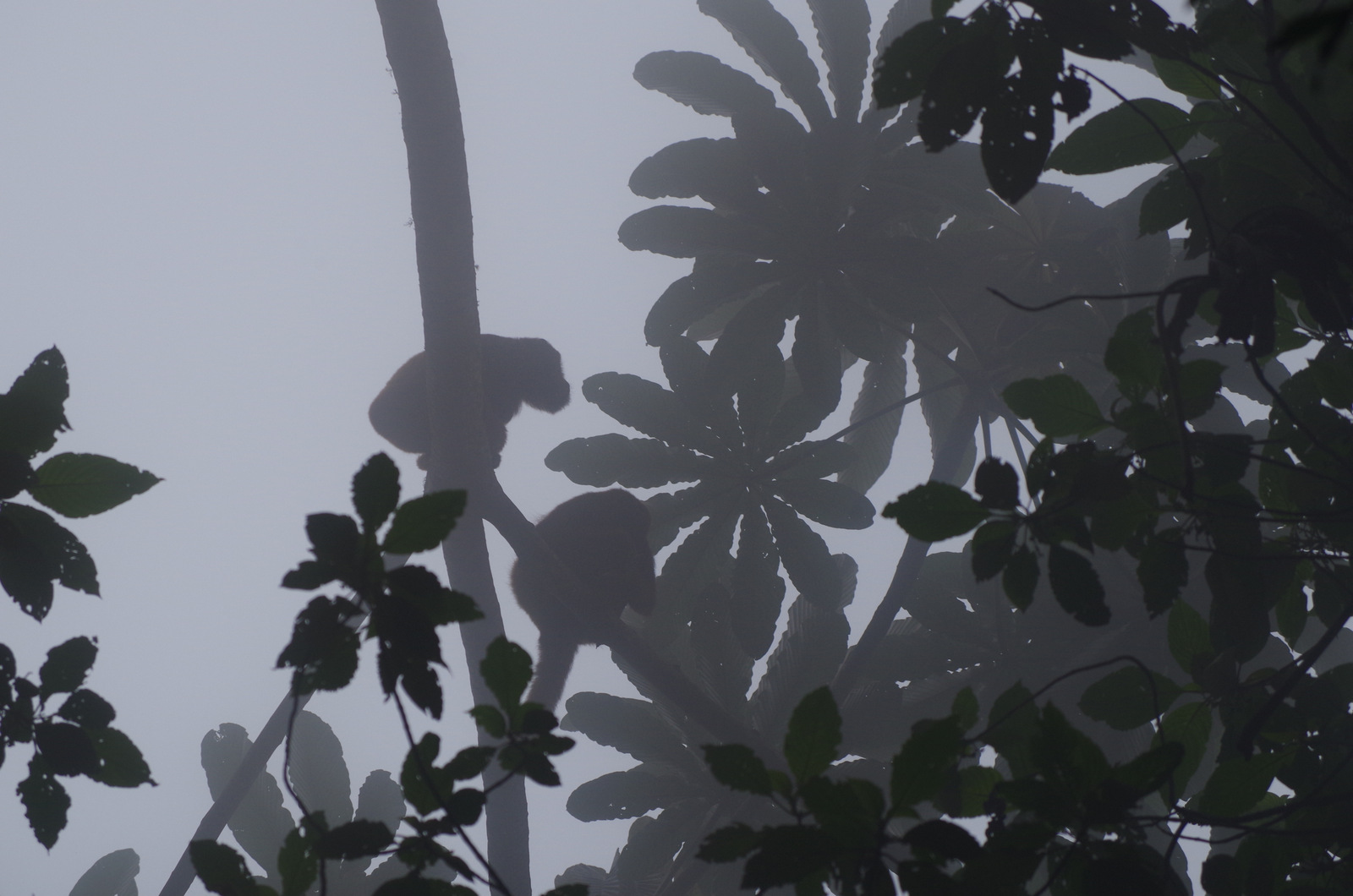
Howler monkeys hunkering down.

IMGP4157

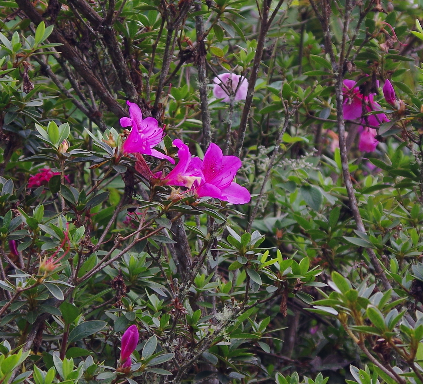
Wild azaleas.

IMGP4135

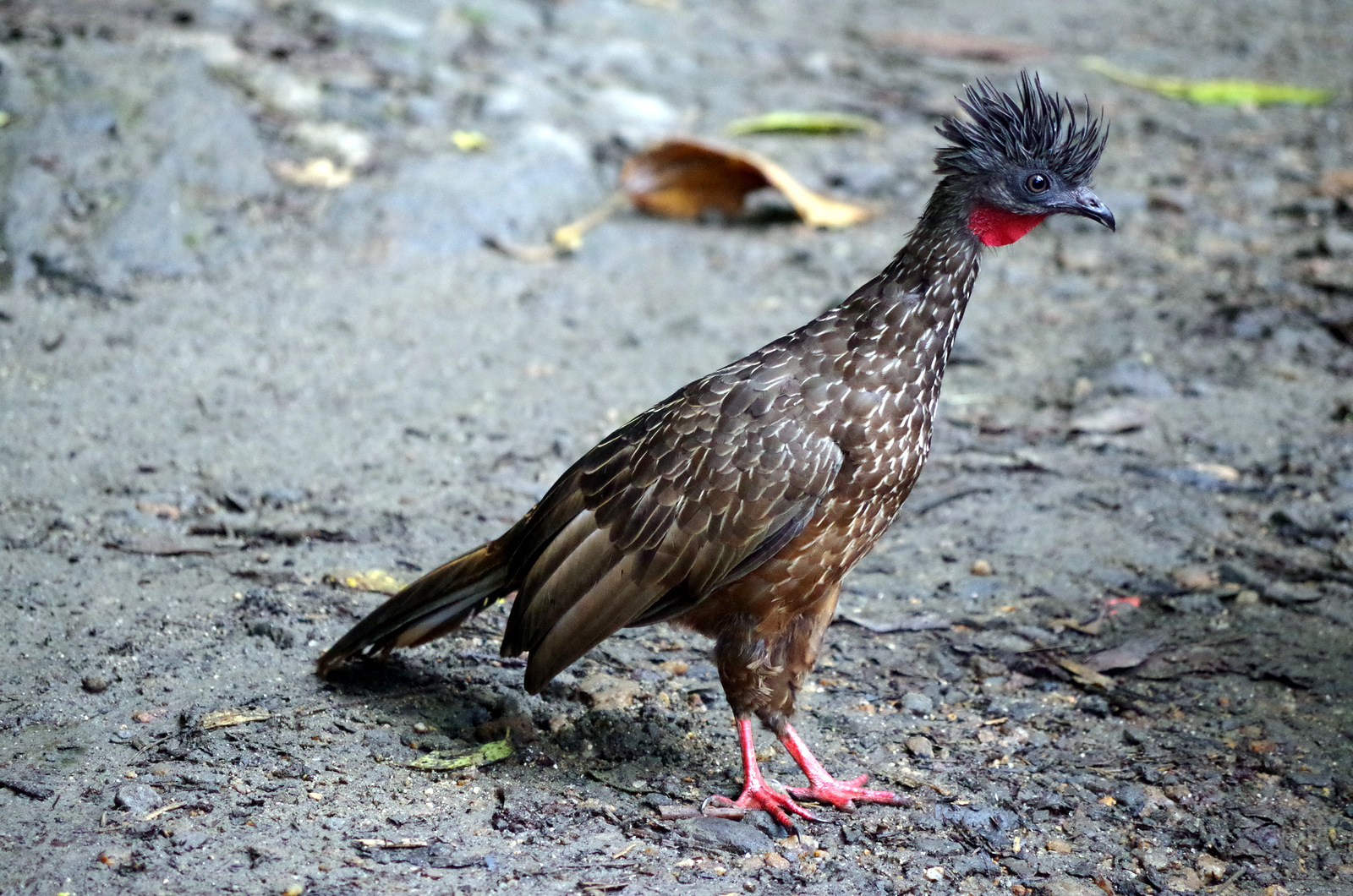
Guan

IMG_0310

Taken with the cell phone through the scope.

IMGP4125

The trails go on and on.

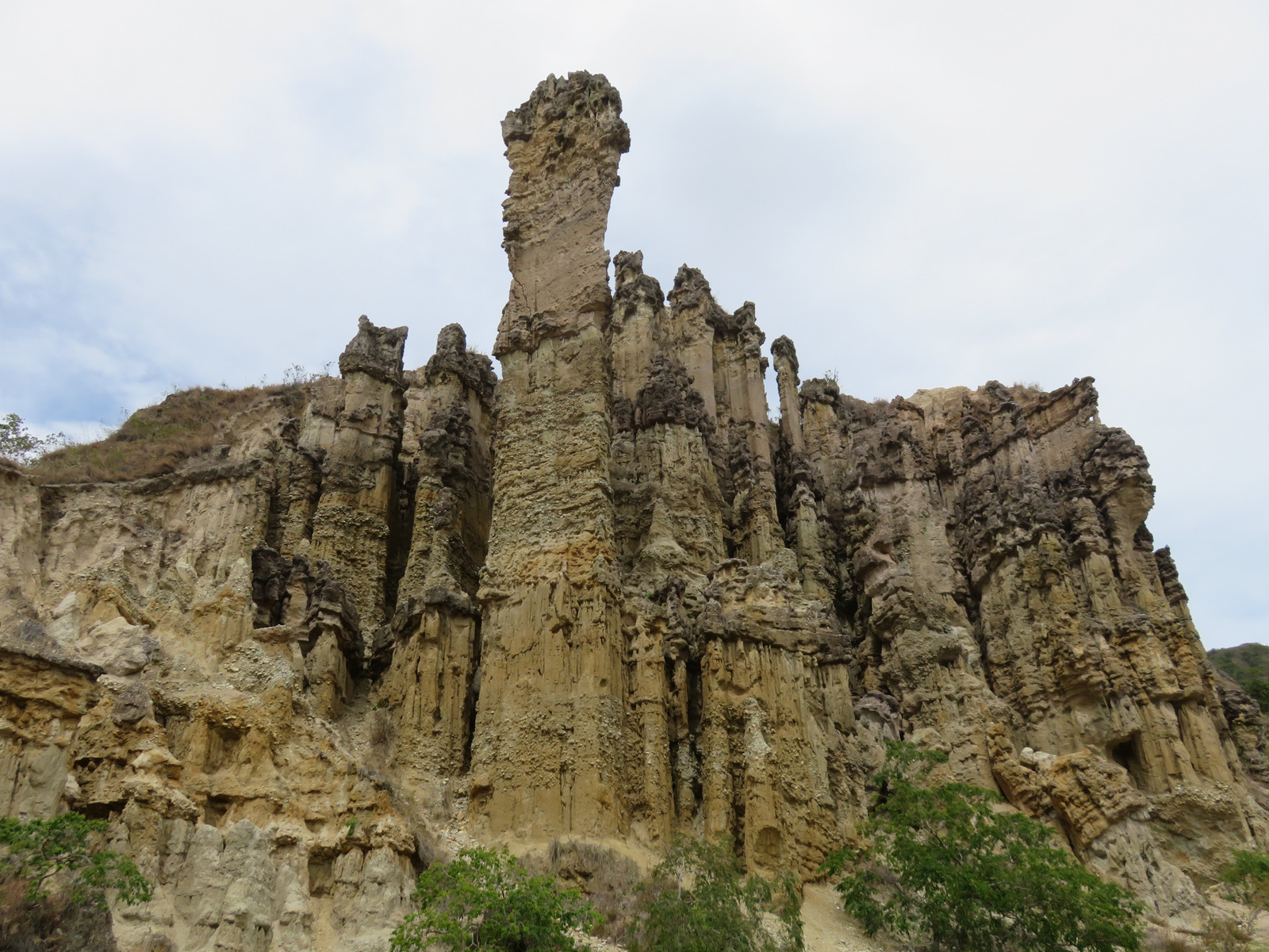
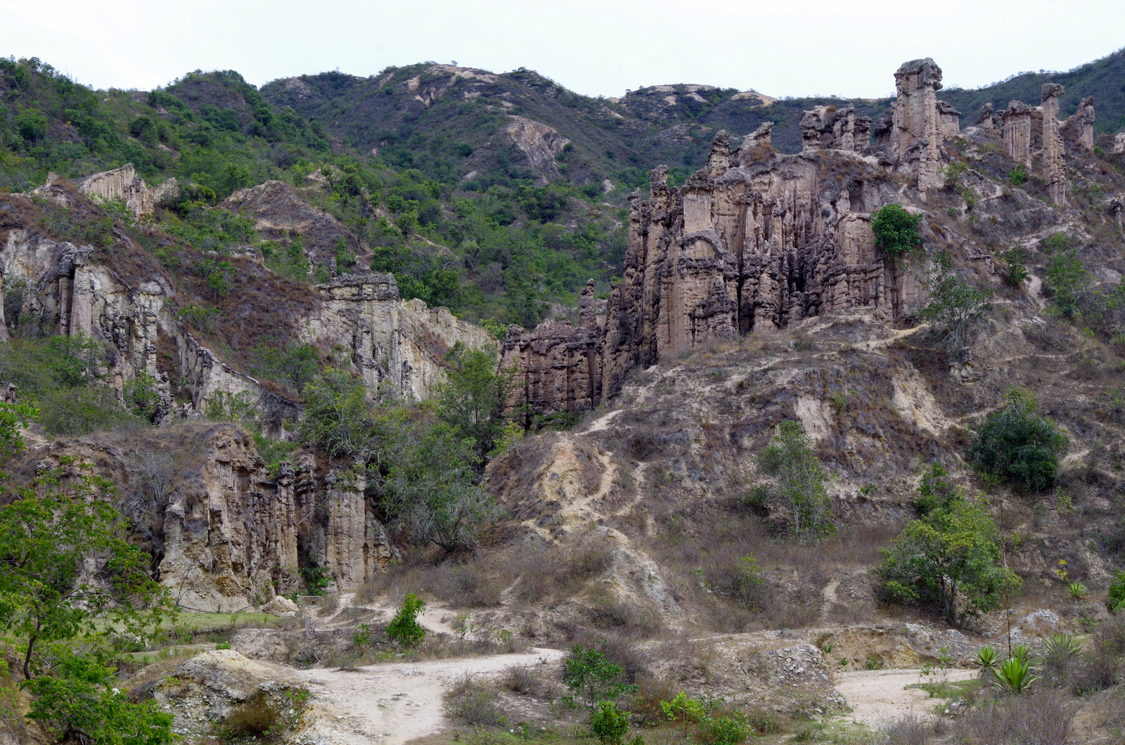
Our next destination was some unusual rock formations called Los Estoraques, east of Aguachica. It was a long haul for Günter, the traffic in Colombia is nerve wrecking, anything goes. We saw three motorcycle accidents in one day. The road from Aguachica winds up high into the mountains and is busy with heavy trucks to and from Venezuela. It got dark and we hadn’t found a spot to camp yet, finally spent the night at the edge of a cliff beside a small restaurant that caters to truck drivers. Not very quiet but we were glad to settle in for the night after a standard Colombian meal which always consist of arepas (corn flat bread like the Mexican gordita), rice, some kind of meat and fried plantain. Los Estoraques was interesting, we had to take a guide and some areas were closed to erosion, camping is not allowed because technically the park has been closed since 2010.

IMG_0336

Los Estoraques

IMGP4188

IMGP4196

IMG_0406

IMGP4202

Aspacica

We left the site and drove east on that same dirt road, finally we saw a tiny gas station on a ridge with a great view and pulled in. The young man was very friendly and told us to park wherever we want. It was a great spot, we rode our bicycles around and over to the little colonial town  of Aspacica, which is just around the corner and very pretty, they do not get tourists and it was rather unspoiled. Just a little rural town with white washed houses, red tile roofs, a beautiful old church and people going about their business. We had lots of visitors at our camp spot the next day, everybody wanted to see our little house on wheels, they hung around for hours, called their friends and brought us fresh hot arepas.

IMG_0404

Tatiana and her girl friends, spent the night in the gas station so they could be here in the morning.

IMG_0391

Visitors, brought us arepas.

IMG_0381

Aspacica

IMG_0352

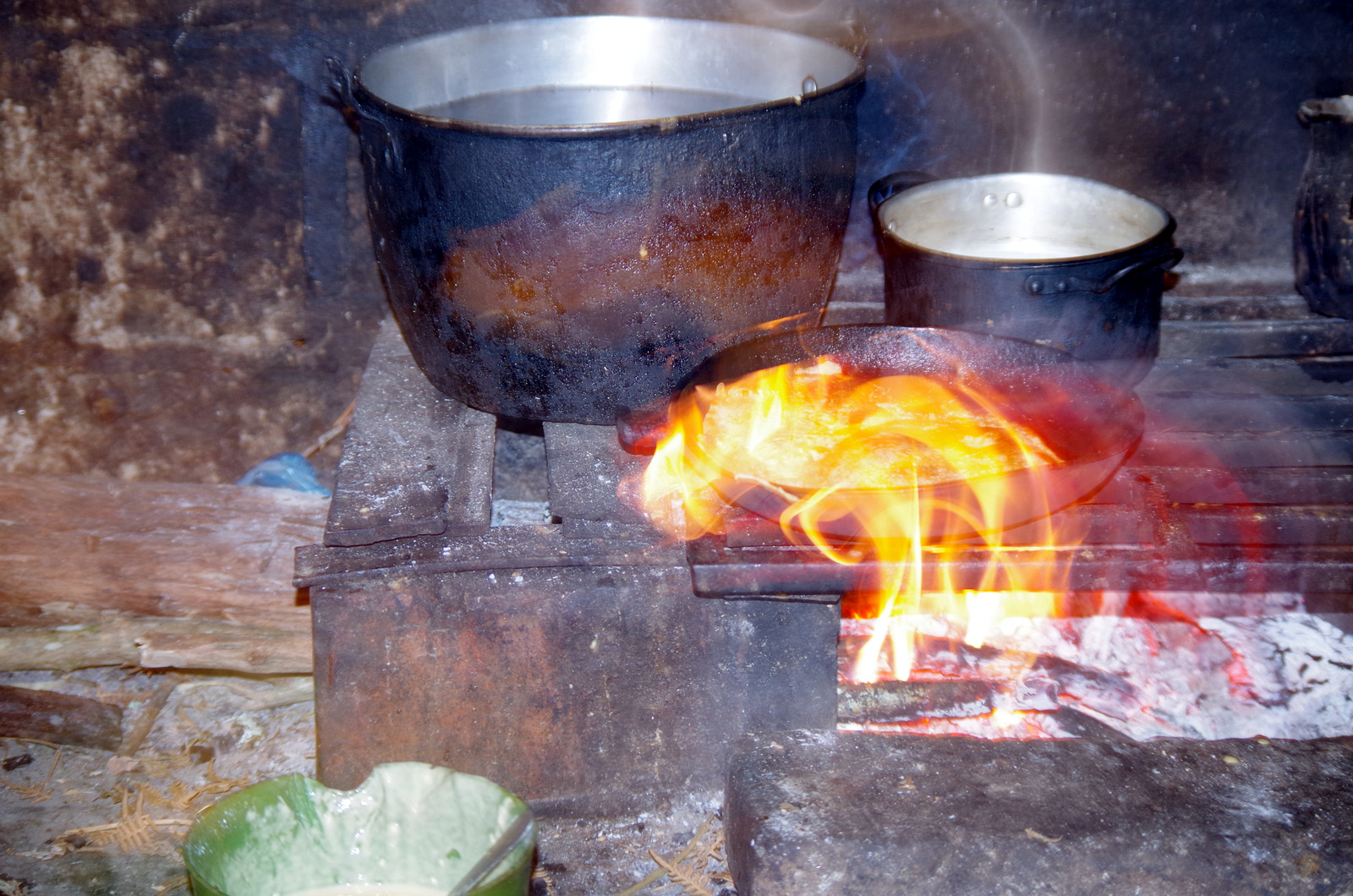
Next to our camper were some cows and soon the farmer came over to talk to us. He, Clemente, is 75 years old and was very nice, he invited us over to his house and in the afternoon we walked over. The houses usually are made of mud bricks and are white washed, simple furnishings, open fire for cooking in the attached kitchen, pictures of family members, dead an alive, are on the walls. His wife served us hot sweetened milk fresh from the cow and some kind of sweet bread. This is the second time we have been invited into people’s homes and it is always very special, I prefer this kind of experience to any tour the guide books recommend. From now on, we are going to try to do this more often. I had two little hand painted pitchers in my stash of souvenirs, bought them in Mexico somewhere, as a present we brought them to Clemente and his wife Chaya. One should not come to a home empty-handed since they will always break out some specialty and try to feed you. We promises of a return some day we left them and drove on.

IMG_0387

Aspacica

IMG_0380

IMG_0367

IMG_0364

IMG_0361

Pamplona

A colonial university town, it is set in a lush green valley at 2300 meters, we parked for free on a dead-end dirt road above the bus terminal, the center of town was just a short walk away and we spent a lot of time wandering around, shopped at the market, went to church and went to the little museum of their famous home town boy, Eduardo Ramirez, his art is very modern and I am not sure if I liked the art more or the building that houses the pieces.

IMG_0448

Pamplona

IMG_0427

(Museo de Arte Moderno ) Eduardo Ramirez Villamizar behind us.

After a few days we were debating where to go next, head east to Medellin or go south. We started reading our guide books and then did the guide-book tour, watched paragliding in Bucaramanga, looked down onto the Canyon of Chicamocha, drank a “tinto” in Barichara and walked El Camino Real to Guane. Somewhere along the way we had driven over a long screw and it was stuck in the tire, so in San Gil we pulled into a tire shop and 15 minutes later we had the screw removed and the hole plugged, great. San Gil has a fancy mall where we found German and Swiss chocolate, almond milk for our müsle and other hard to find items. This town is geared toward adventure tourism and offers many things for that travellers looking for a thrill in nature.

IMG_0443

Guane, baroque altar, I loved the painted ceiling.


20150729_110921

Camino Real hiker

IMG_0510

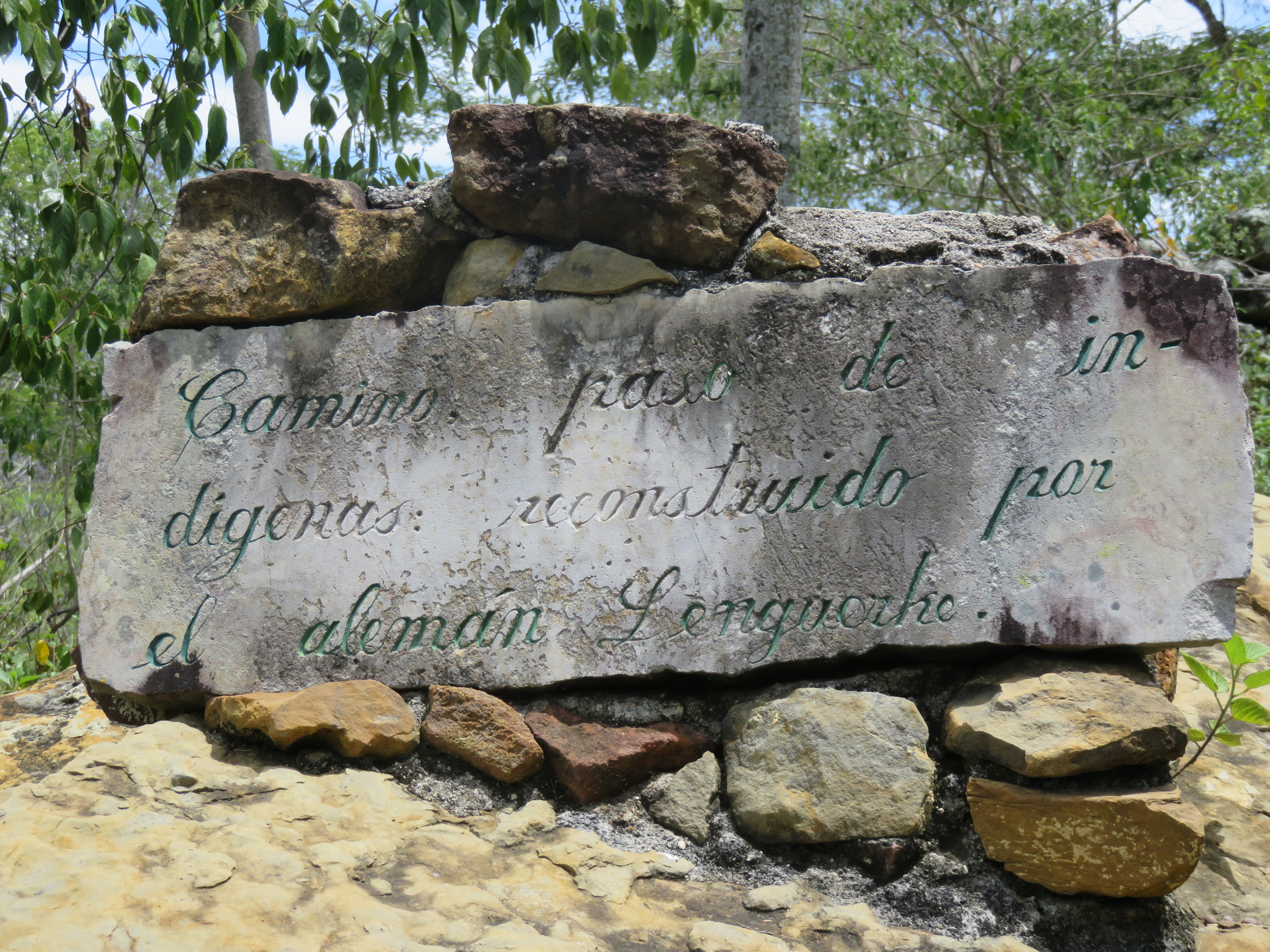
Camino Real trail was rebuilt by a German over 100 years ago.

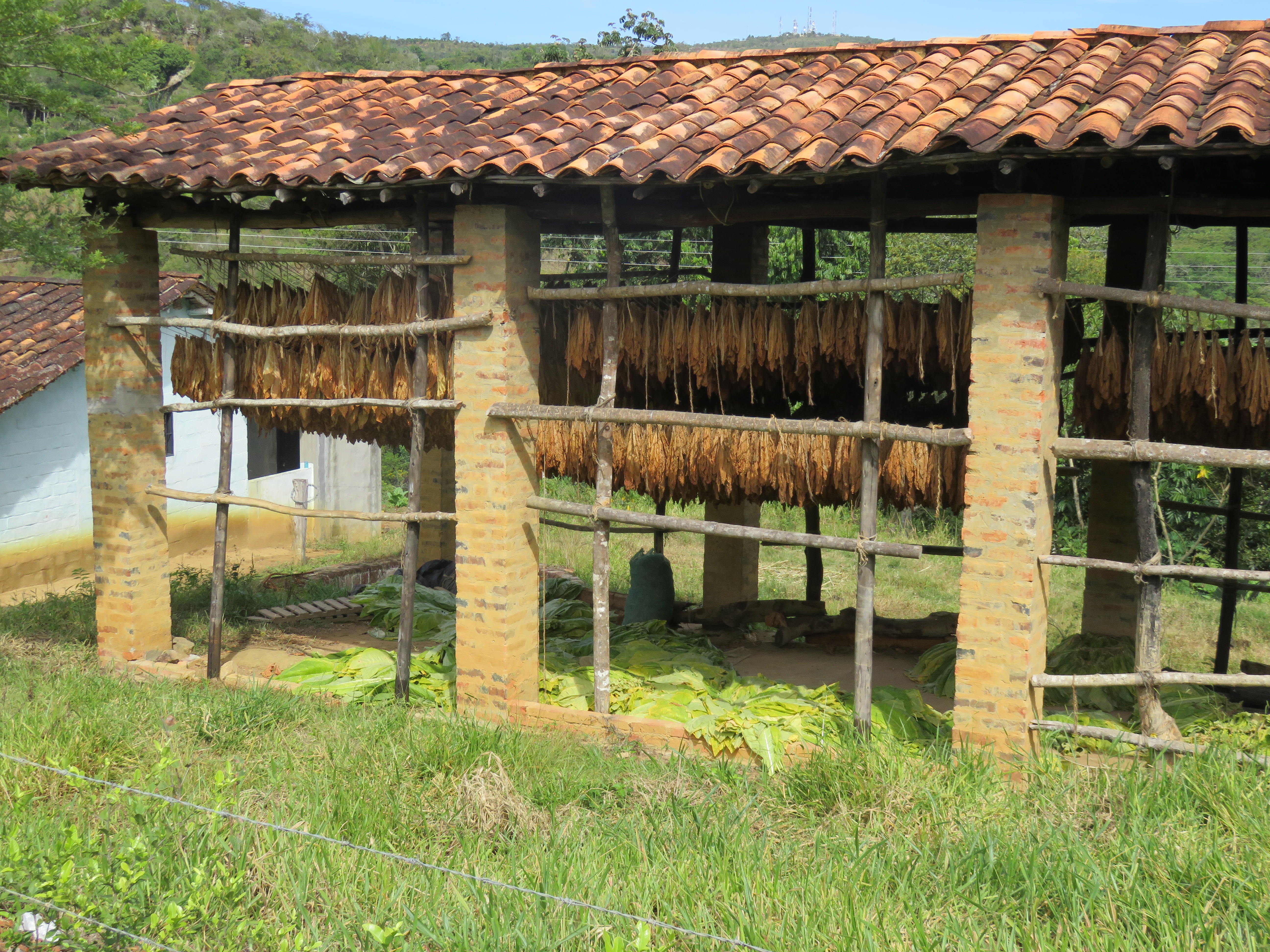
If you are drawn to adventure walks and like to follow in the shadow of 19th century explorers, then the story of German colonist Geo von Lengerke will get you motivated for a trip to Guane. Lengerke ambitiously set out to unite the highlands of Santander with the Magdalena retracing the original indigenous footpaths. Over six hundred kilometers of stone tracks once used for mules have survived and you can meander your way on these rocky trails through fruit orchards and tobacco fields .

A quote from the Bogota paper:

Heavy iron beams engraved with ‘Bremen 1867’ are now gates to private homes, and there is a particular look to the inhabitants of the Guananta region. Many are tall and fire-skinned, and when they flash a smile, their blue eyes light up. During his years in Santander, Lengerke miraculously found time to populate (thanks to his many girlfriends) the department. Wander with free roaming goats through a patchwork of narrow alleys and visit the town’s unique paleontological museum with its wall-to-wall collection of fossils. The beautiful historic stone church remains almost the same today as the day it was built four centuries ago. –


IMG_0492

IMG_0533

Tobacco

The Sierra Nevada del Cocuy mountains were next on our list, the highest mountains on the eastern range, so we had to go east again. There is a small road from San Gil to Mogotes and then on to Soata. An absolutely beautiful drive through hills and small farms, along canyons and through little towns. It is a long drive and one should plan at least two days for it because you want to stop and look. The road looks daunting sometimes but trucks and medium size buses drive it every day.

IMG_0537

Mogote in the distance

IMG_0540

The road up to the pass.

IMG_0547

Our camp spot on top.

IMG_0549 IMG_0545

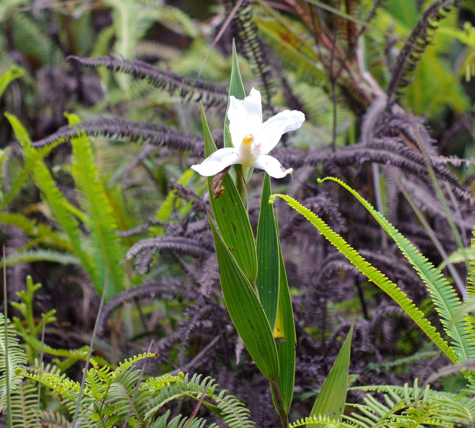
On top of the pass ( 2577 m) between Mogotes and San Joaquin we stopped early in the afternoon, the views were spectacular and the parking area large. We decided to stay and spend the night. I took the walking stick and followed one of the trails, there are little farms on the steep hillsides and they can only be reached on foot or hoof. What really amazed me were the many different orchids growing trail side, large and small, white, pink and red. 

IMG_0586

IMGP4220

IMGP4234

IMGP4231

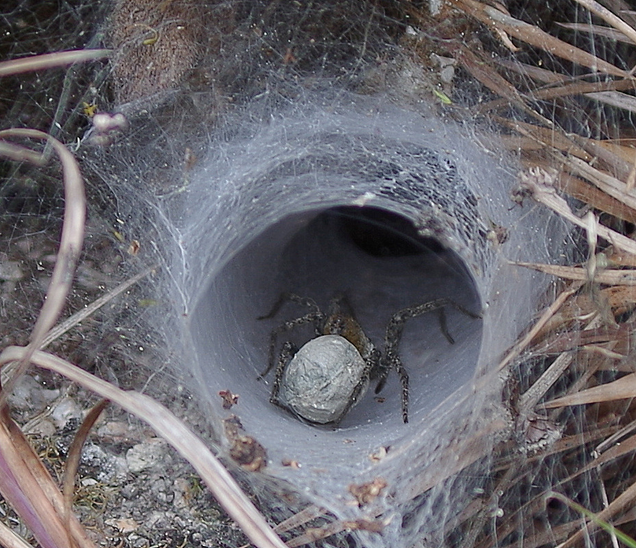
Crazy spider web.

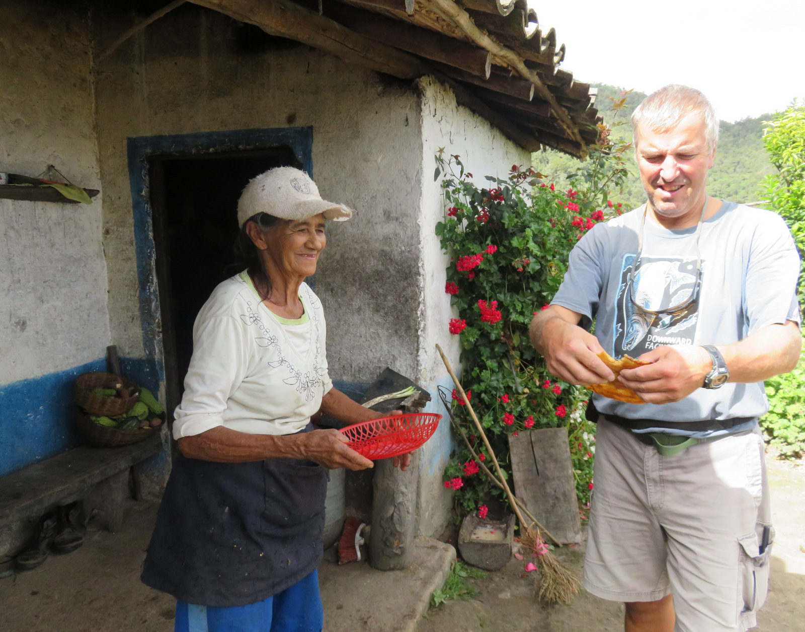
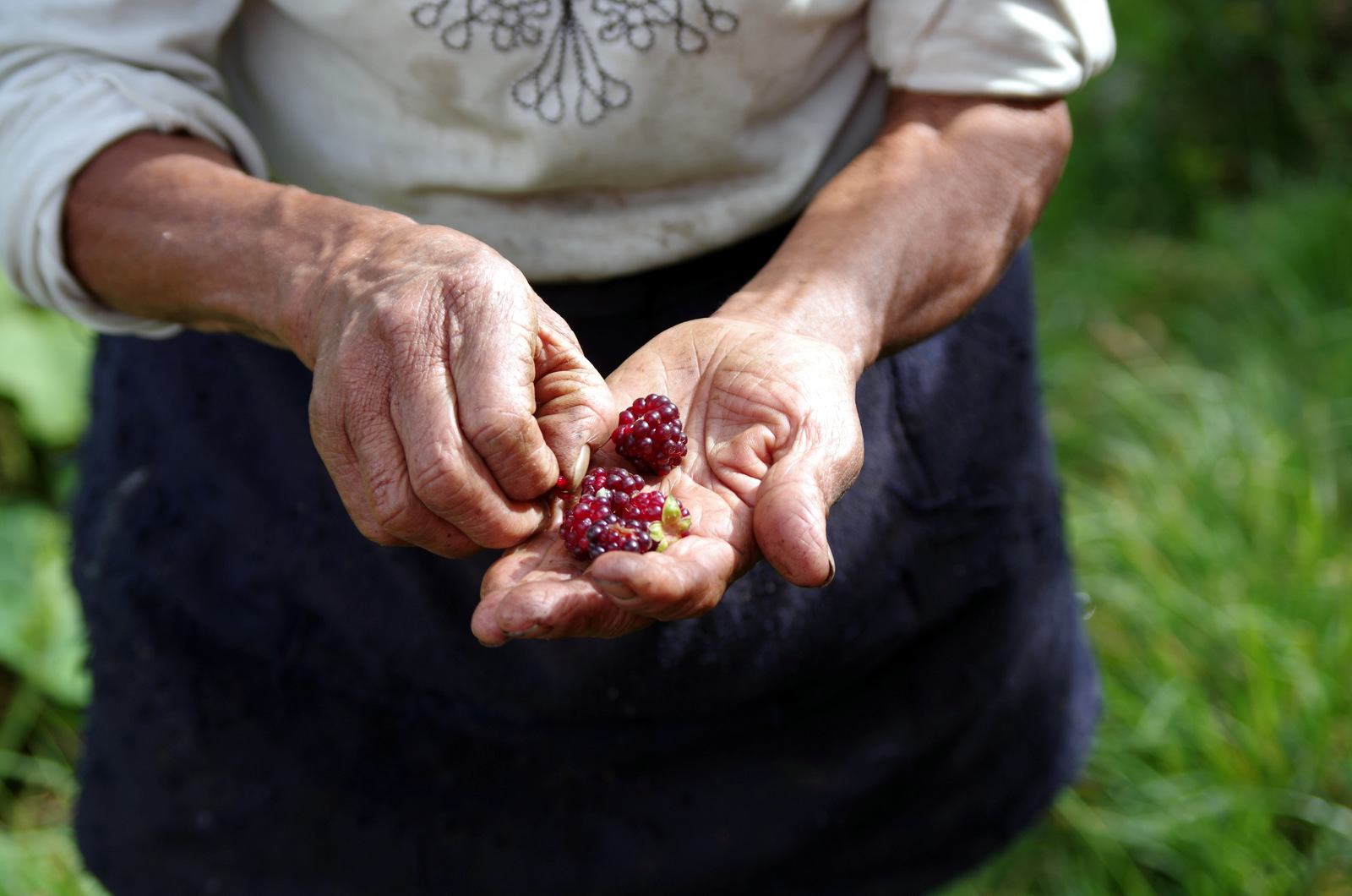
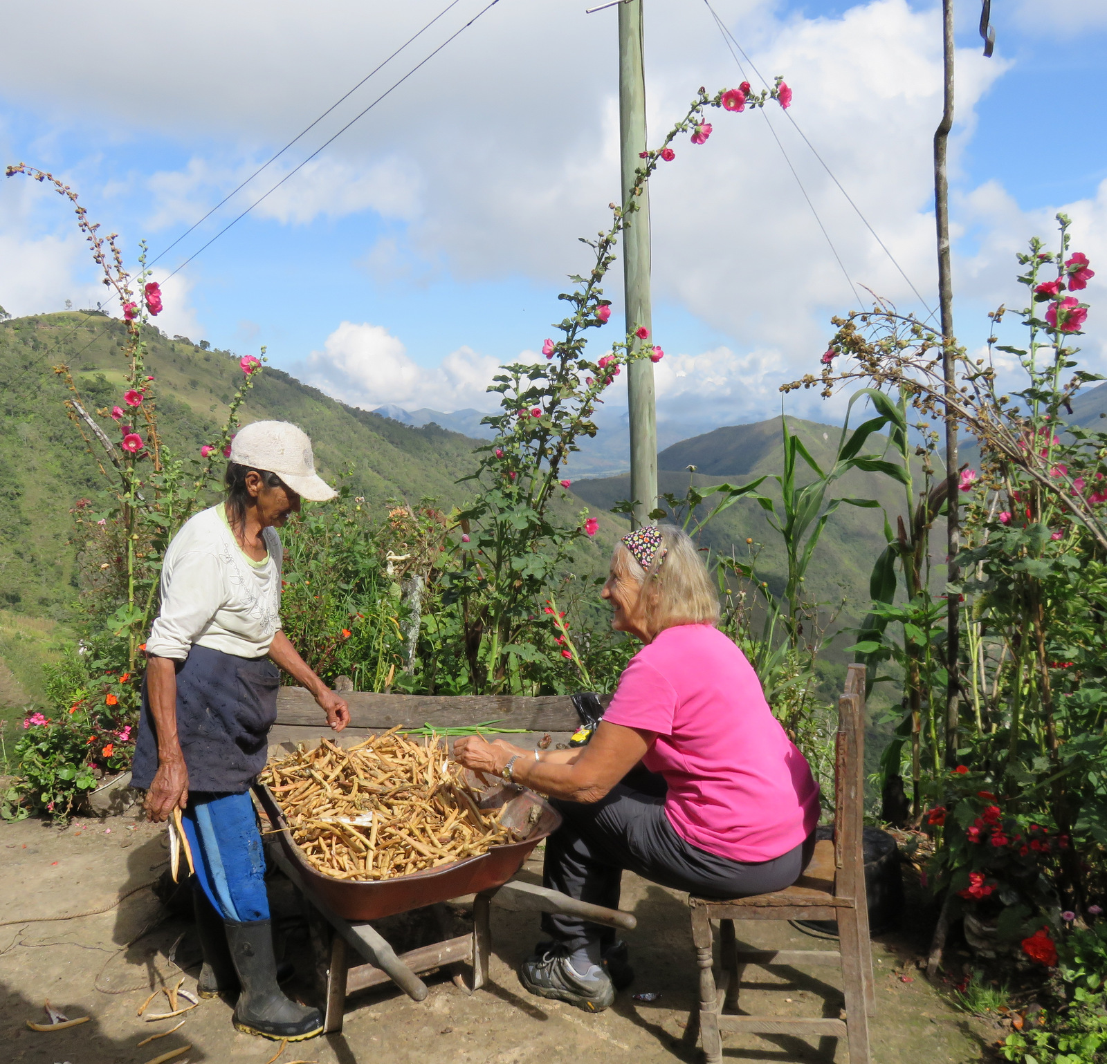
While I was hiking I saw an older (one year older than me 🙂 )woman carry up a heavy load so I waited for her, she had a strap on her forehead and on her back was a milk bucket. She was waiting for the milk truck. I sat down beside her started to ask her some questions, it it easiest to start a conversation by asking about children and grand children, they are their pride and joy. Her name was Marina and she has two cows, a donkey, chickens, cats and dogs and yes, she invited us to come down to her farm. So the next morning I took off by myself, mandarins, cookies and a chocolate cake in my pack, with trekking poles, because the trail is very steep and at times serves as a creek I think. After 1/2 hour I got to the house and was greeted by her grand-daughter Carolina that lives with her. Marina showed up with a huge root she had dug up in the woods with her machete. From what I can gather it is a special root and she chips and dries it and sells it. She tried to give me milk (not again) and then started removing beans from pods in a wheel barrow, so I helped her for a while but then she decided to cook me a sweet arepa, by now Günter had showed up and we enjoyed the treat and hot “tinto” from her own coffee beans. Her garden was overflowing with vegetables, fruit and flowers. They live self-sufficiently and rarely leave home. Every day, she milks the cows and carries the 8 to 10 liters up the steep trail to the top where we had met her. There, at 4:15 pm a truck comes and collects her milk. No wonder she is in such great shape, when we said good-bye and headed back up to our camper I looked down and I saw a tiny figure running swiftly along a steep trail towards the cows, it was Marina.

IMG_0550

The trail down.

IMGP4284

IMGP4281

IMGP4268

IMG_0558

Sweet arepa.

IMG_0560

IMGP4266

IMG_0553

Shucking red beans.

IMGP4258 IMGP4255

IMG_0556

IMG_0562

Hiking back up from Marinas granja.

IMG_0570

The road down the other side to San Joaquin.

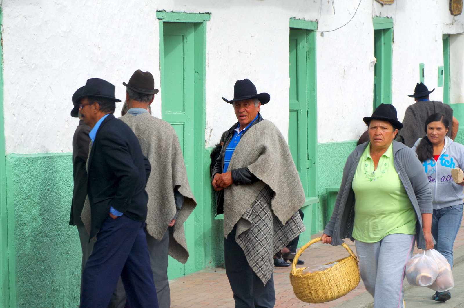
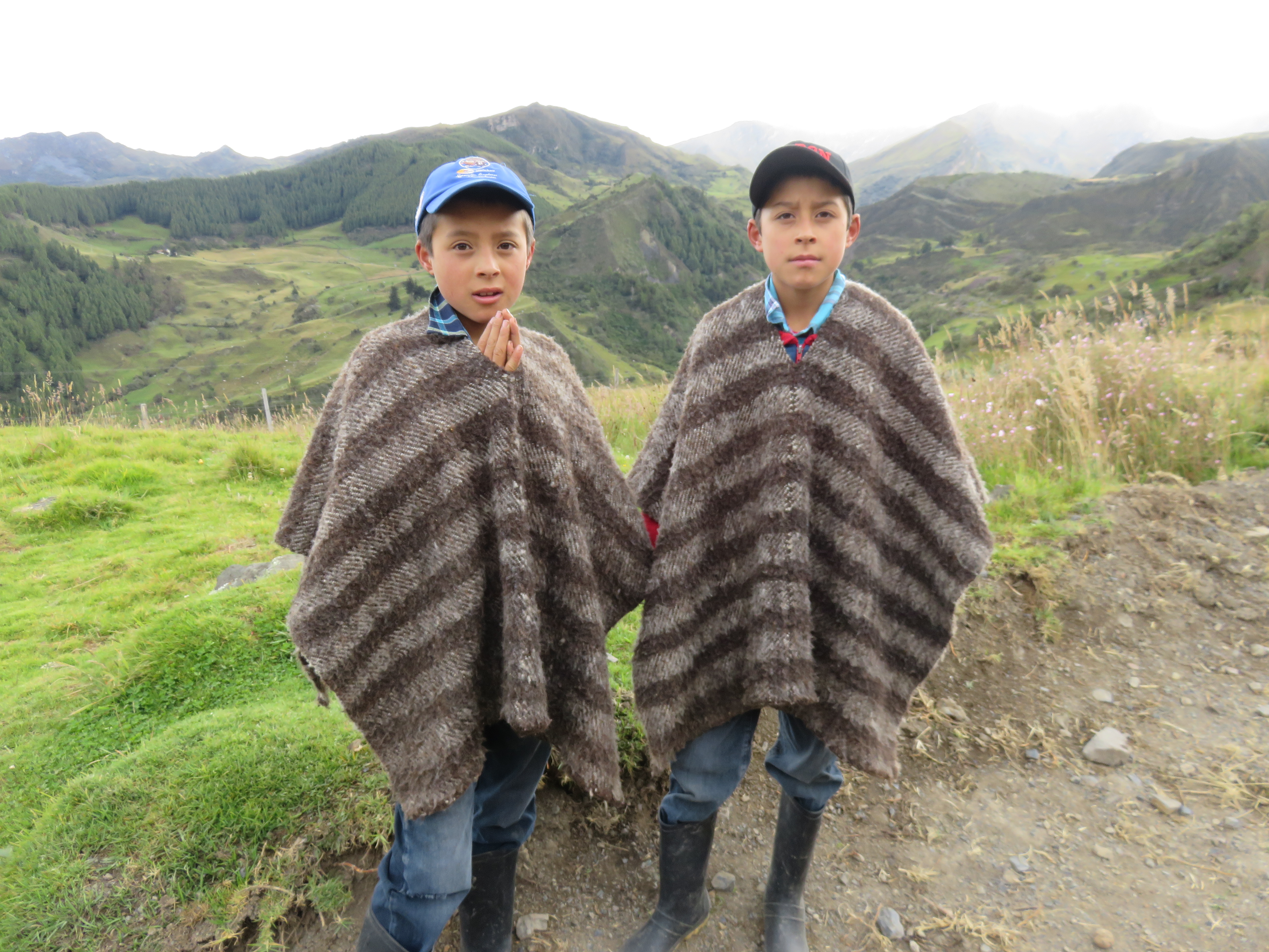
The road (64) from Onzaga south was closed and the smaller one heading east to Soata we were told is in very bad shape and washed out. We asked some men in the church square of Onzaga about an alternative and they told as a different way to drive. This route was not in our GPS and online maps, in the “real” map it was marked as a trail. Ok, we went, one can always turn around if it is not doable. Lucky we talked to those men, because this road was very, very beautiful, it follows a river all the way up to 3000 meters, through a lush valley with fields of onions, potatoes, tobacco, fava beans, cows and sheep, people with heavy wool ponchos (ruanas) and children on horses. This road meets up with the main road (55) again near Paramo.

IMGP4287

IMG_0604

Potato harvest.

IMGP4293


IMG_0594

Günter stopped to put air in the tires and I took some pictures of the surrounding farms and the potato harvest when oops, I looked through the view finder (my camera has one )and there were soldiers heads popping up in a field. I talked to a drunk worker and he told me there are quite a few soldiers hidden in a nearby farm-house ruin, gully and that field.

There is also heavy military presence on the southern end of highway 64 and we were not allowed to camp there, when I was wandering through an area of frailejones I was stopped by several soldiers and told to leave immediately because it is not a safe area.

IMG_0576

Colombia has had a rough time with FARC and other guerilla groups making large areas of the country unsafe, nevertheless, it has gotten much better since the ’80s and ’90s and the areas still largely occupied by FARC are shrinking and well-known, so you do not and cannot go there.


Time to find the glaciers and snow-covered peaks of the northern Andes and on to Cocuy.


Posted in Colombia | 15 Comments

Panama

20150705_090019

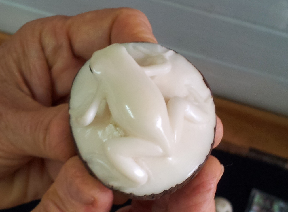
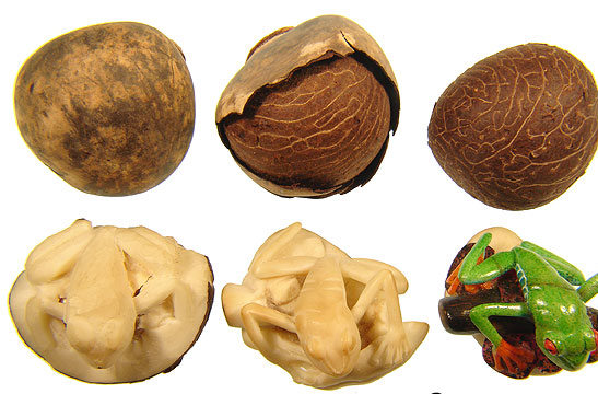
Rana, I had to buy a few.


rana

Carved from the nut of the ivory palm.

Panama is famous for “The Canal” and few people choose it as a vacation destination.

Nevertheless, it has beautiful mountains, beaches, wilderness and jungle, an interesting indigenous population, rare animals and large agricultural areas. Not to forget the Expat settlements, colonial towns and of course Panama City.

We spent a few days in the (very American) town of Boquete on the flanks of volcano Baru, close to the border to Costa Rica. First we camped on the banks of the river, then we decided to go higher and drove up a road until the pavement ended. There we found a flat spot beside the road, not easy to come by because the hills are steep and planted with coffee bushes.

P1000619

Boquete camp spot by the river.

P1000659

20150706_171308

Ngäbe-Buglé tribes men

20150706_171756

P1000641

IMGP4112

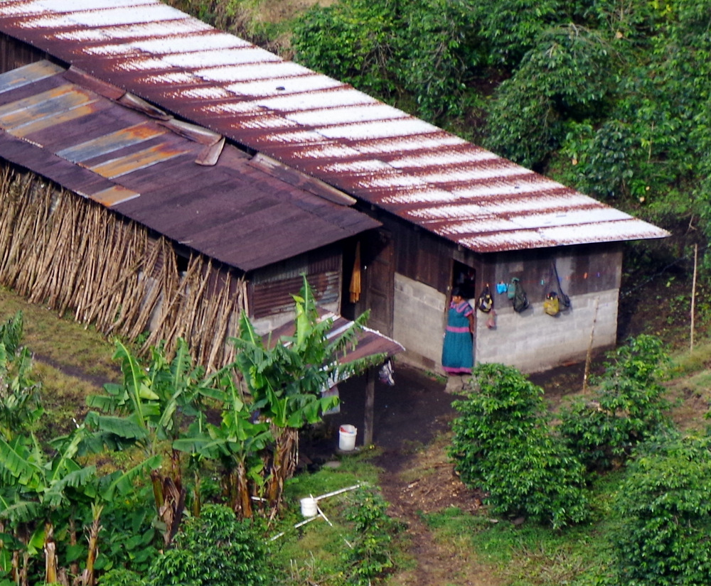
The only people up there were indigenous that worked for the coffee farmers. The hills were so step that I wondered if anybody ever tumbled down while working. Below us in a little valley was a farm-house with some outbuildings. There was no electricity and all the little houses went dark after night came, early to bed and early rise, just like us.

P1000647

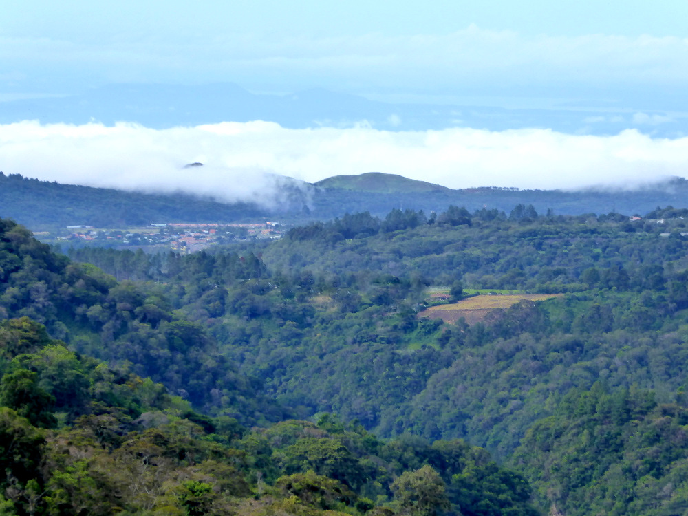
Boquete and the Pacific in the distance.

P1000645

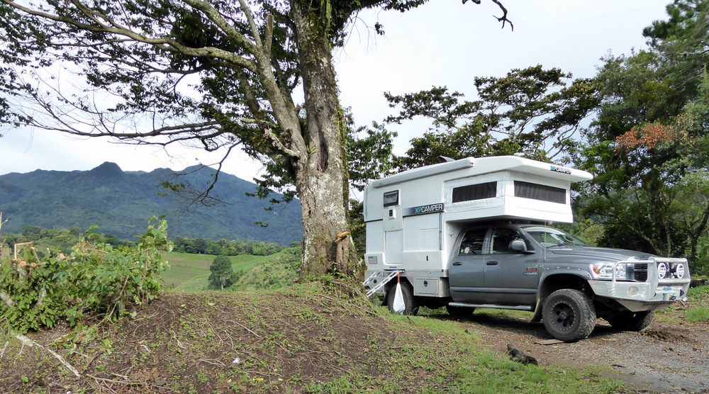
Our camp spot with volcano Baru in the back ground.

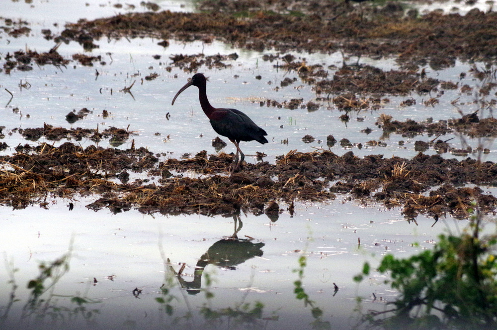
We spent a few hours in Boquete to get more copies of documents needed for the authorities in Panama in order to be able to ship our vehicle to Columbia by boat. We also used that time to go online in the local cafe and listen to the Expats tell each other about all the trials and tribulations that life in Panama brings with it. When a lady in the bakery asked Günter if he was “new” in town we decided that we probably should move on. We had to be in Colon at a certain date to drop off our car and before that we had to get a police inspection in Panama City which will not be done if it rains (because the inspector will not come outside in the rain). So we did not want to cut it too close. We had been in Panama a few years ago (yes, on vacation) but still had to pass up some interesting areas that we would have liked to explore. After a quiet night along the Rio Maria on the Finca Rita I went for a walk through the rice and sugar cane fields, the rice fields were flooded and lots of birds were everywhere. I love these early morning walks.

White faced ibis

White faced ibis

IMGP4118

IMG_0046

He is eating something….

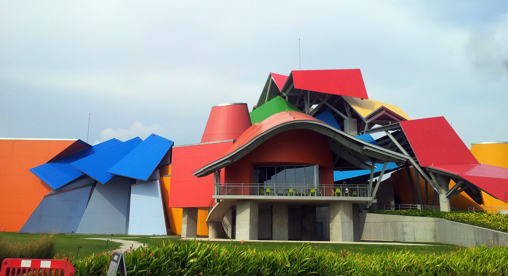
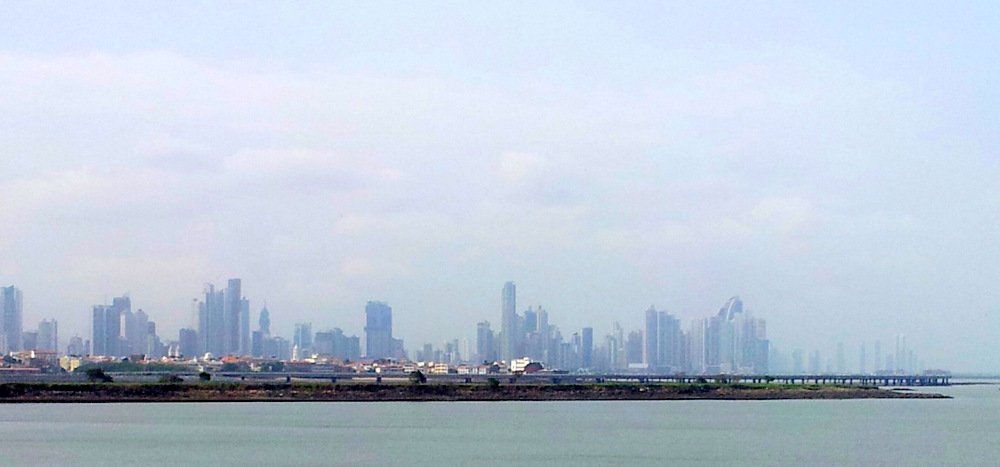
That day we drove straight to Panama City. Vroni and Michael were already there and we planned to ship our campers together. Like most “overlanders” we parked near the Balboa Yacht Club, a good location. From there you can take a taxi to the historic part of town or the mall. I walked to the Museum of Biodiversity once day, a very nice museum designed by Frank Gehry.

20150709_154053

Museum of Biodiversity

20150709_160112-1

Panama City

20150709_121207

20150709_122616

20150709_104614-1

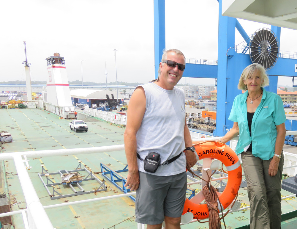
On to Colon, this place is not nice and considered dangerous, so we camped at a Hacienda/Adventure Park outside of town. A great place to wait. I will not bore you with a description of the paperwork and steps you have to go through until you finally have the car on board the ship. It is sometimes funny, sometimes infuriating and definitely tests your patience. We chose to go RoRo (travel on the ship with the car) and after 24 hours we were in Cartagena. The ship is owned by SC Line in Germany, the crew was Polish, the cabin comfortable, the food very good (Bratwurst and Sauerkraut). Vroni and Michael did not have such a good time in the dining room due to the waves and I felt sorry for them because they missed out on the good German food .

20150711_061347-1

La Granja

IMG_0059

Walking at La Granja, lake Gatun in the distance.

IMG_0048

20150711_160644

20150711_135658

20150709_074625

Waiting for the police inspection in Panama City.

20150715_113935-1

Boarding the M/V Caroline Russ with Vroni and Michael

IMG_0079

Colombia, here we come.

← Back

Thank you for your response. ✨

Posted in Panama | 1 Comment

Costa Rica


Costa Rica

Our first stop in Costa Rica was Finca Cana Castilla in the Northwest of the country. It is a popular destination for overlanders after yet another exhausting border crossing.

The Finca is a working farm, the owners Agi and Guido are from St Gallen Switzerland and bought it 18 years ago. A wonderful place with wonderful hosts. There were monkeys in the trees, a crocodile in the river, a baby sloth and at night lots of big toads. We took a long walk through the property, a piece of paper in hand that explained the flora, named trees, native and introduced. On top of the hill we had great views and mingled with the cows and horses.

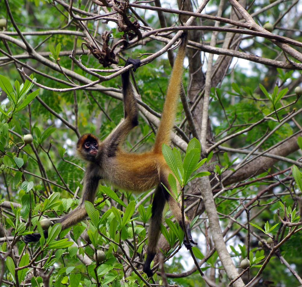
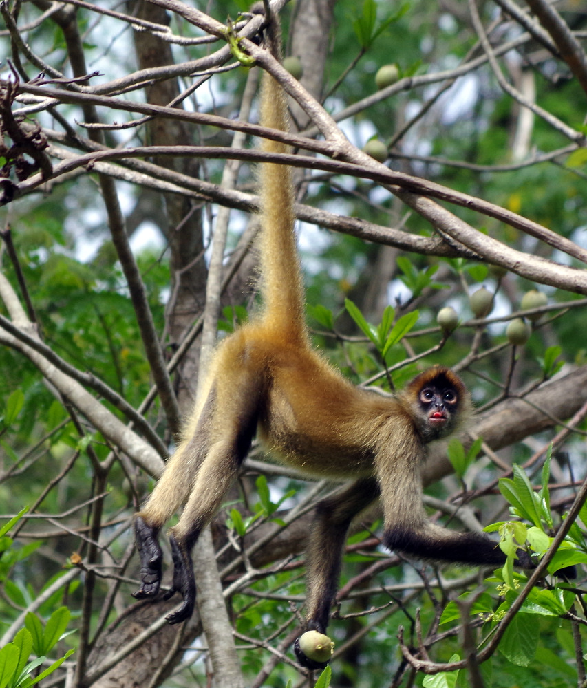
Here the spider monkeys that hung out above our camper.

IMGP3911 IMGP3910 IMGP3903

One evening Agi prepared a delicious dinner of “Gschnetzelts mit Rösti (half potato half yucca), it was delicious and tasted so much like home.

And yes, the washing machine was waiting for us and Vroni and I did a couple of loads. It was hard to get it to dry on the line, the air was hot, but laden with moisture.

IMGP3939

Günters sister decided to come visit us for almost three weeks, she flew into San Jose from Germany. In order to make room for her we left our folding Montague mountain bikes at the Riviera hotel near the airport.

Costa Rica is a small country with lots of diversity, jungles, cloud forests, volcanos and endless beaches. Tourism is the most important industry, followed by agriculture. It used to be famous for coffee, but now the big word is eco tourism. I still haven’t figured out exactly what that is since it seems to encompass anything from “green” lodges to zip lines.

There are several National Parks and bird watchers flock here from all over the world.

Even if you are not, it is hard not to get excited when you see toucans or a mot-mot in the wild.

IMGP3952

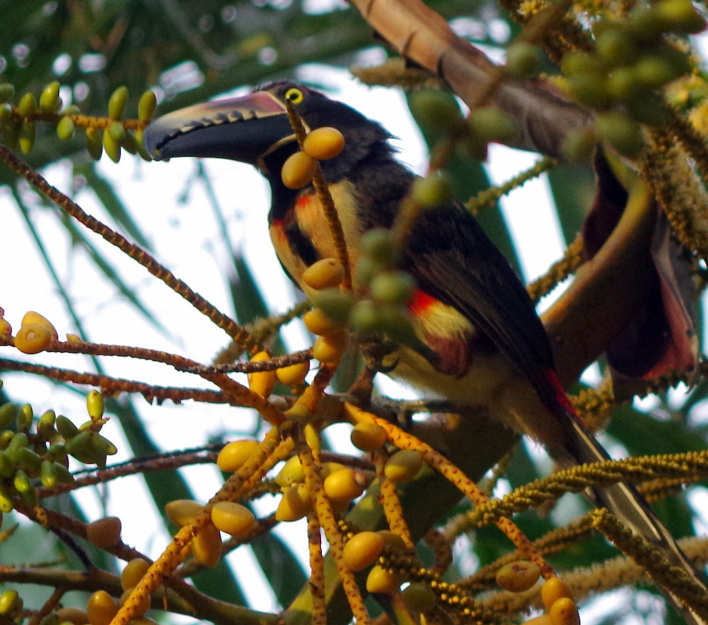
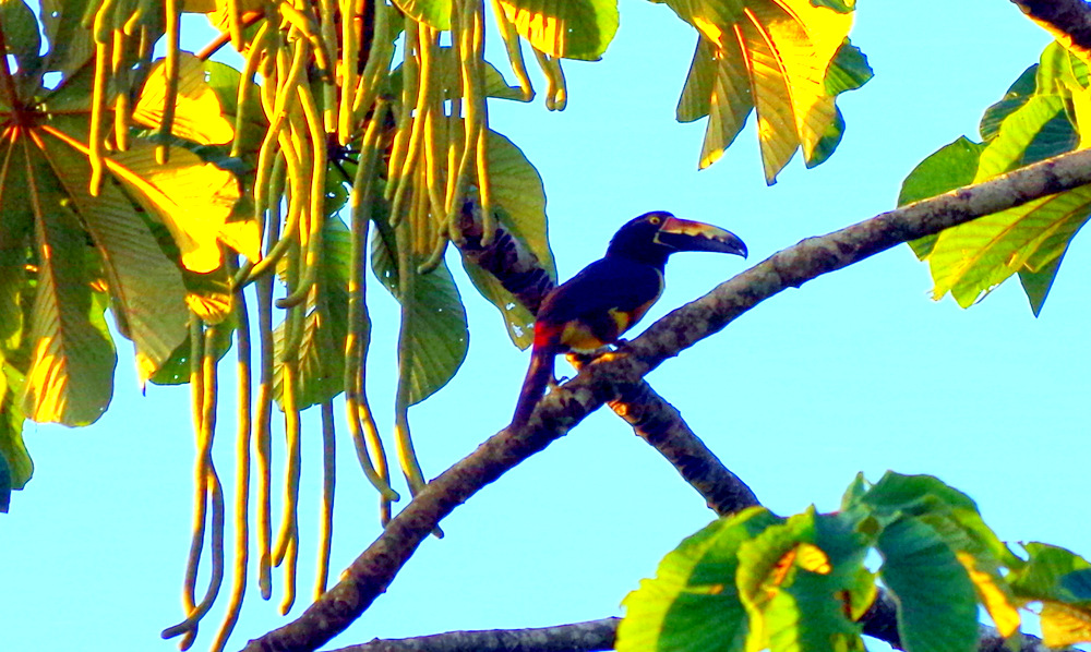
Fiery-billed Aracari (Toucan)

After we picked up Günters sister we decided to try to show her this country from the top: Volcano Irazu.

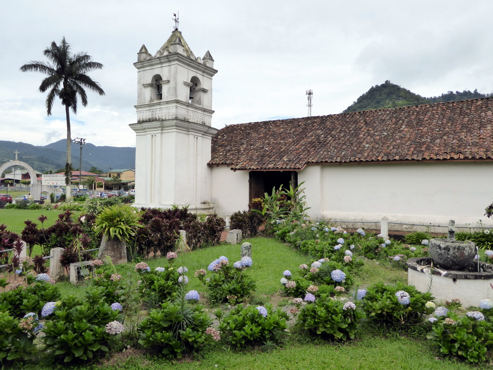
Since the volcanos are mostly shrouded in clouds, one has to get up early or camp near the entrance (a nice spot with room for several campers, but also mostly in the fog). The park opens at 8 am and that is when you should be there. The chances of a sunny top and a view are best in the morning. We chose to visit the Orosi valley and then get an early start from there. The church in Orosi is very beautiful, with wooden ceilings and walls and carved altar. Iglesia San Jose de Orosi is the oldest church in Costa Rica still in use, built in 1735.

P1000022

Orosi

P1000012

We never figured out what the fiesta was all about.

There are resident Chrimson-fronted parakeets that nest in the church tower, they were funny and playful and we spent a lot of time watching their antics.

P1000040 P1000037 P1000030

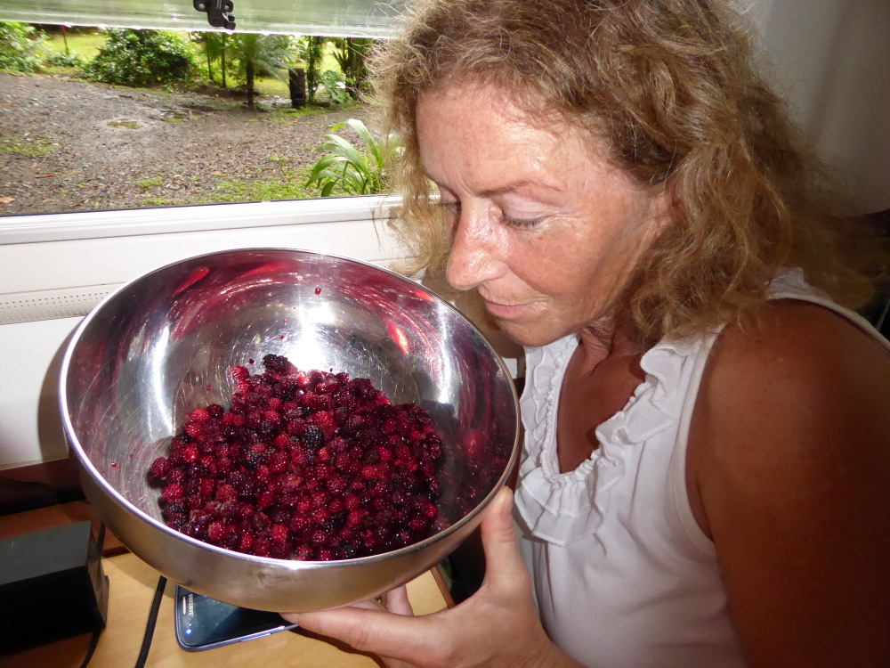
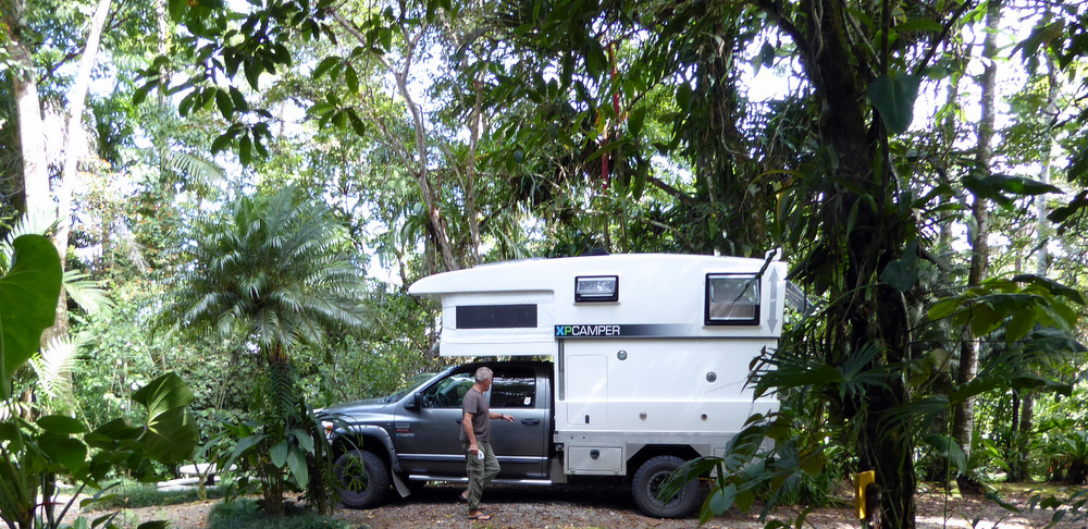
After a short visit to the Tapanti Park where we bought some vegetables from a local farmer and some wild mountain raspberries from a boy, we went to a restaurant/trout farm in Palomo on the banks of the Rio Grande the Orosi. A great spot to camp, the owner did not charge us anything and told us to enjoy. It was our first night with a visitor in our camper. The XP has ample room for one more adult, all we have to do is drop the table and there is an extra bed.

P1000066

P1000122

wild raspberries

P1000072

Eight o clock in the next morning saw us at the entrance to the Irazu Volcano National Park, the drive up was spectacular with great vistas. We watched farm workers in the morning light, there are potato fields, strawberry fields, onion fields, flower fields………cattle and goats, very picturesque. The fields were devoid of any weeds and seeing all the spraying activity, we reflected on the fact that even hier in this perfect world there is a dark side. Monsanto is alive and well.

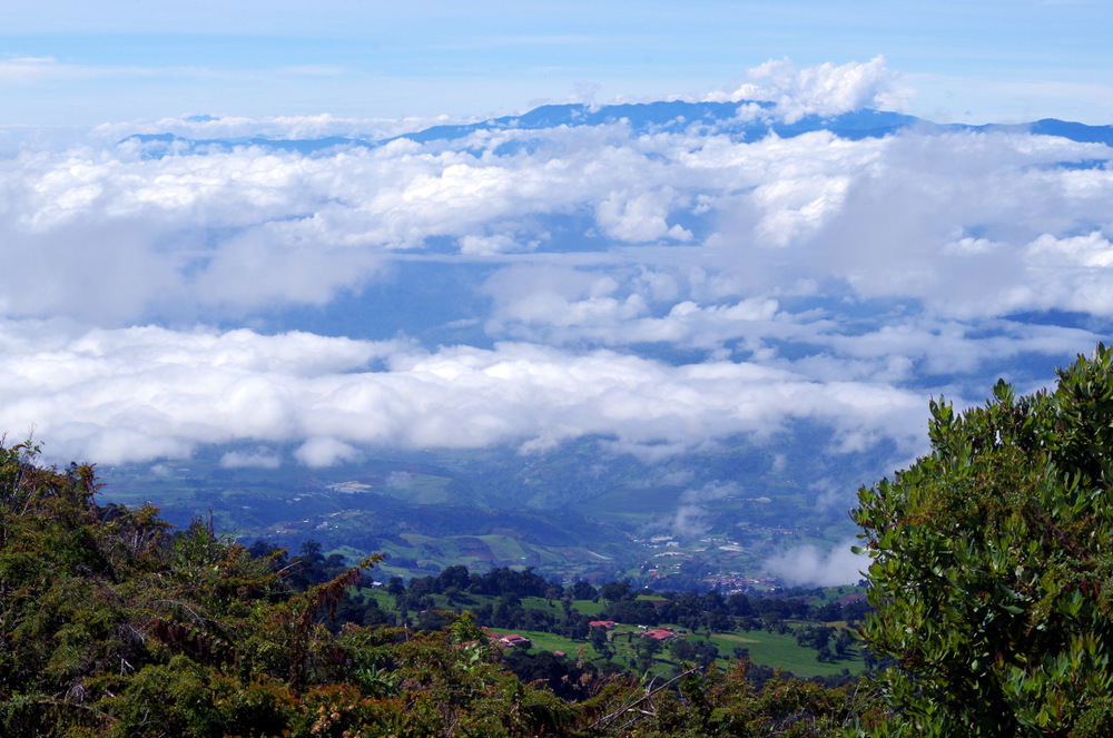
Blick vom Irazu 3432 m

Blick vom Irazu 3432 m

IMGP3980

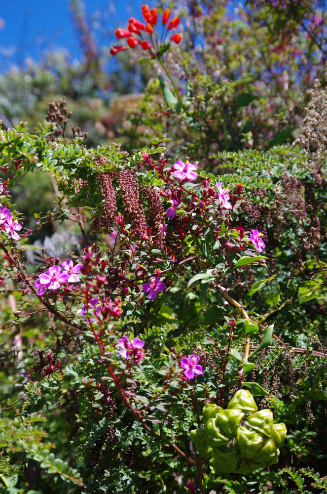
Wild flowers volcano Irazu

IMGP3970

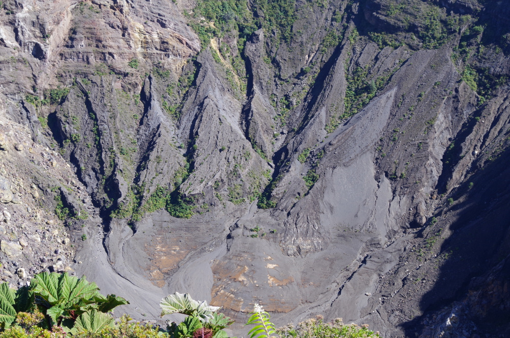
Irazu crater

IMGP3977 IMGP3966

The top of Irazu was clear and we hiked from the parking lot to the highest point at 3432 meters. There were beautiful flowering vines and bushes lining the trail and we decided to have a picnic on top of the volcano.

IMGP3985

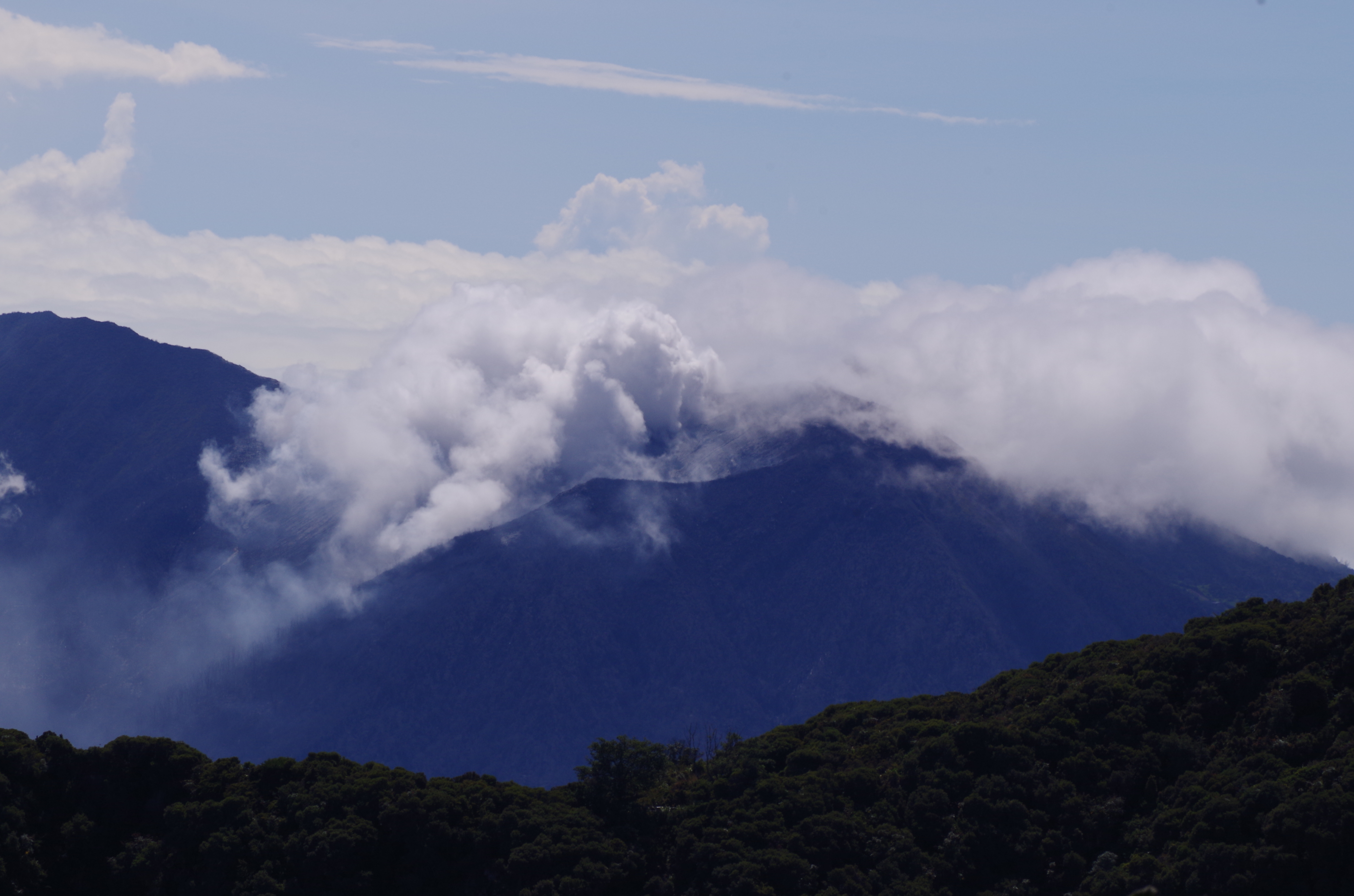
Volcano Turrialba is busy.

IMGP3999

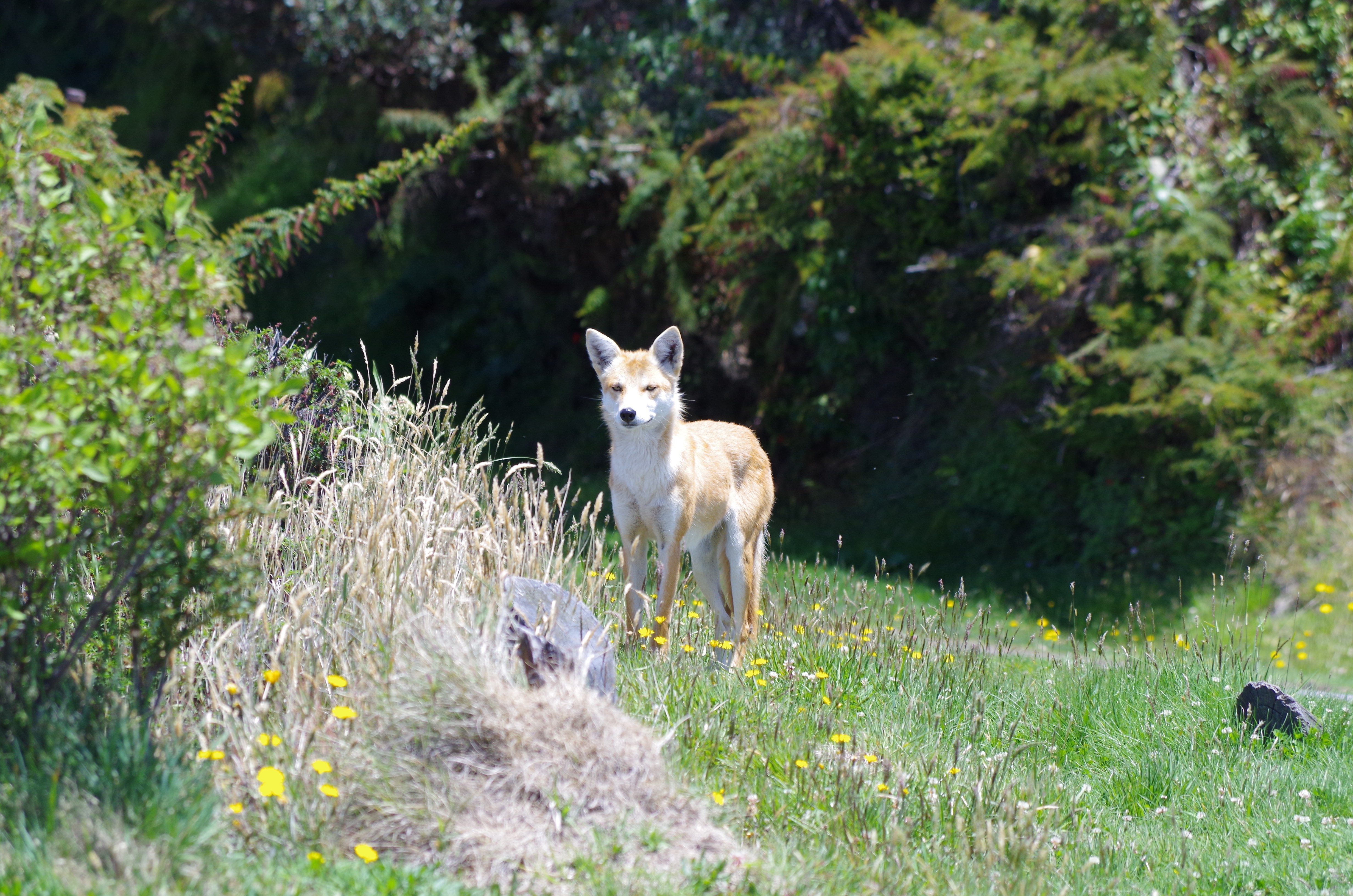
A red coyote on the summit of Irazu

At that altitude it is cool and Anita mentioned that she had thought it would be much warmer in Costa Rica. So we decided to show her the jungle and some heat. We drove to the Sarapiqui region, in Puerto Viejo de Sarapiqui we sat in front of a Soda, had a milk shake and watched the street life. The kind of tourists that comes to this region seem to be baby boomers (yes I am one too), clad in brand new safari clothing with binoculars around their neck. They are mostly from North America. The wilderness lodges on private jungle reserves cater to them. If you want to even take a short walk in those wilderness and jungle areas you have to pay a hefty entrance fee. $ 30 for a self guided one hour walk and up to $ 185 for a guided bird watching tour we were quoted at one reserve. Everything is fenced off and gated.Then there are the river runners that raft or paddle down the Sarapiqui river, no sun seekers or surfer around here.

IMGP4002

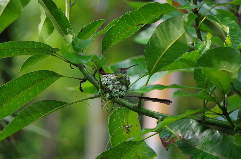
Colibri Hummingbird sitting on eggs.

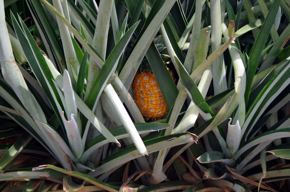
This is also a pineapple/banana/heart of palm growing area and we bought all three from a vendor. Fresh heart of palm is very good and now one of my favorite vegetables, hard to find though unless you live in the area. It is very tropical, hot and humid in the jungle and we camped beside the river for one night, in the yard of a very nice young couple that offers rafting excursions. On the other side of the river is one of the private reserves, so you get some wildlife overflow across the river for free. It rained that night, we saw a tiny red frog enjoying more rain, Anita had a good taste of the jungle I think.

P1000015

Siblings

Lake Arenal was next, we had stayed there before and headed straight for the German Bakery and Thomas, the owner, who is originally from Waltenhofen/Allgäu. The lake is beautiful and shores are not very populated, in fact, there are no houses along the lake. The utility company that provides everybody with power owns the lake (and the dam?) and fenced it off. So there is very limited access to the lake. One of the access points open to the public is in Nuevo Arenal (the original town is under water) and the town is nice enough to let people camp there. We never saw the volcano, the weather was stormy.

20150617_121042

Hanging out with Thomas at the German Bakery in Nuevo Arenal.

20150613_082230

The secret at the brewery at lake Arenal.

Here Carrie and Colin ( www.wakethedeaddiaries.com) showed up in the evening and we all decided to go have a real Bavarian breakfast at the German Bakery the next morning. Weisswurst, Brezen (Pretzel) and a Weizenbier at 11 am! Yes, we did that and we had a great time. Carrie and Colin: We will repeat that in South America next year!

P1020952

Bavarian breakfast with Karrie and Colin

Volcano Miravalle is not a National Park and unless you take a guide you cannot hike there or summit it. The trail is overgrown and the forest harbors poisonous snakes and other nasty critters.

P1000181

Volcano Miravalles

P1000189

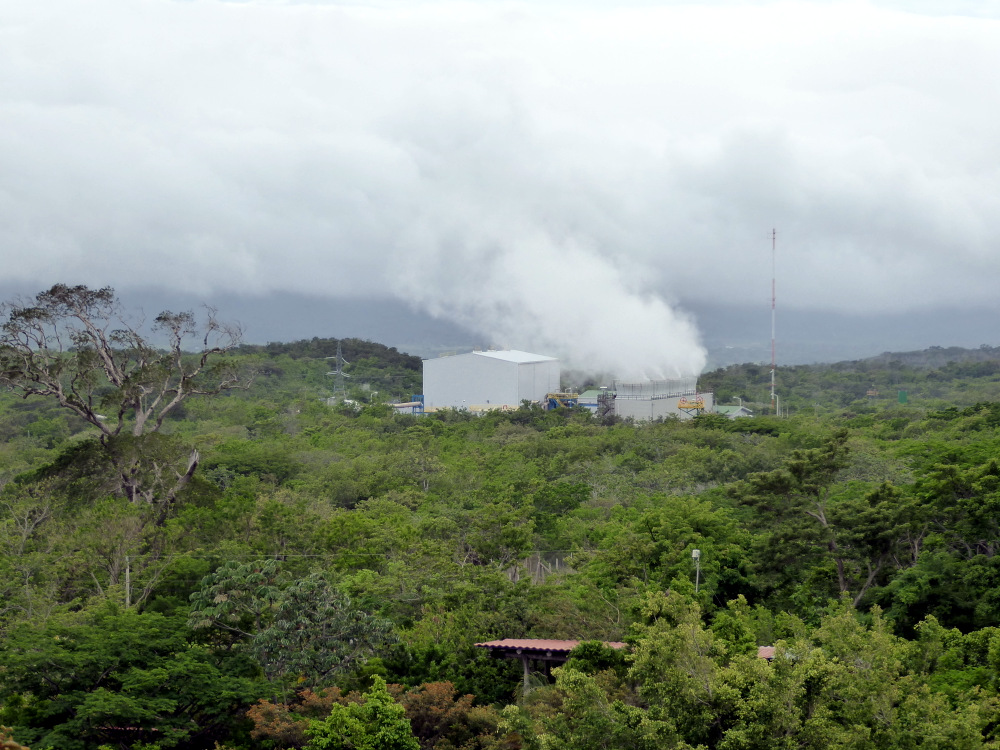
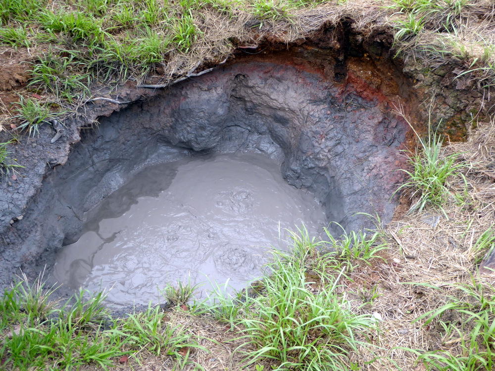
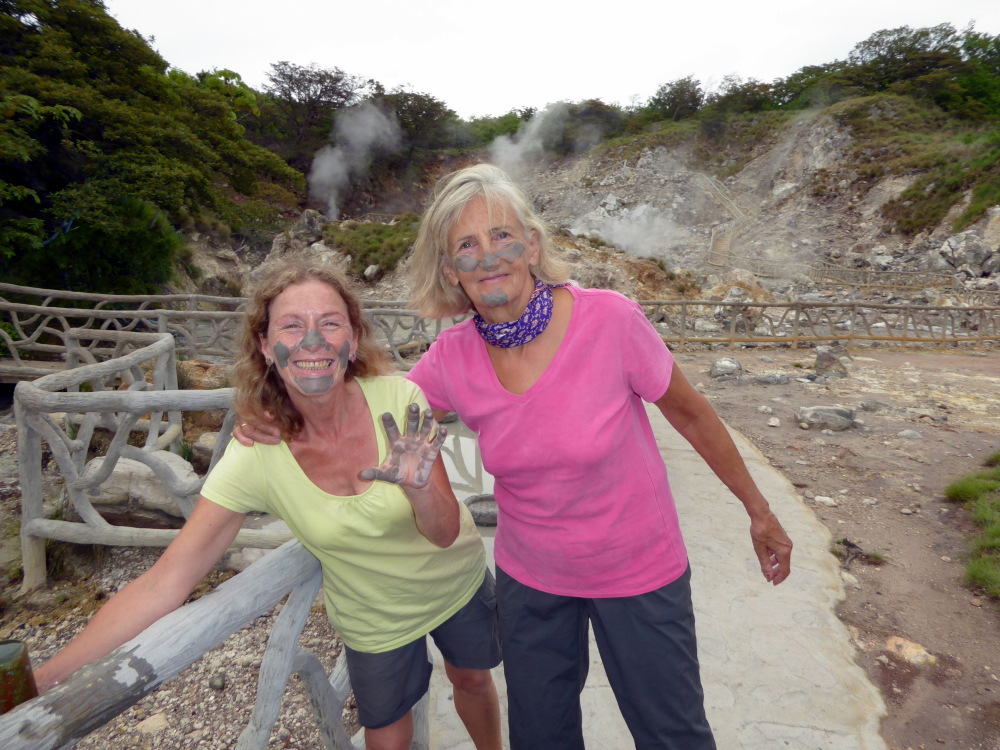
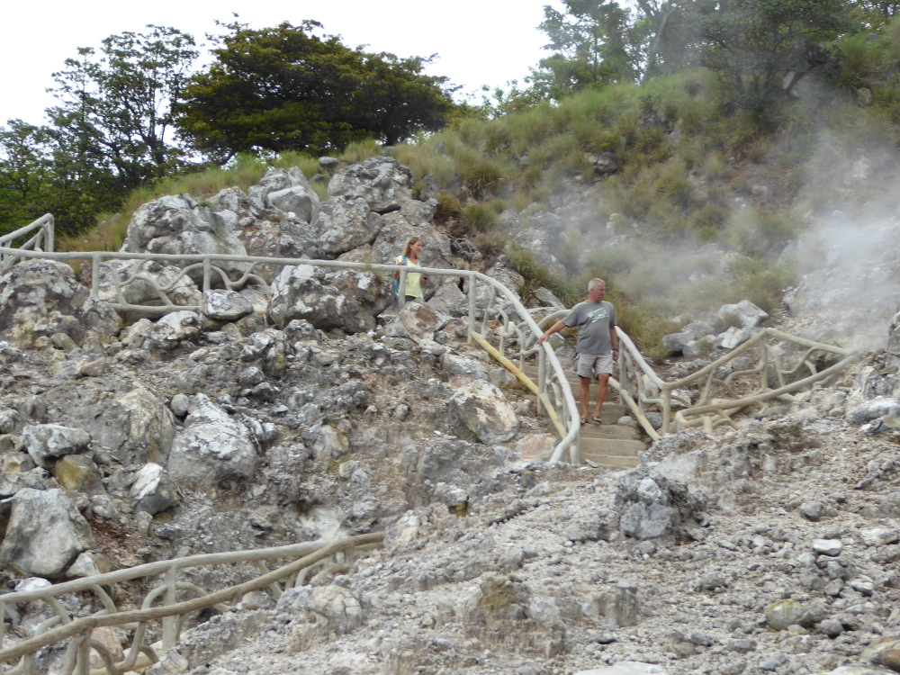
There is a geothermal power plant on its flanks , one can drive up past that plant to a place where the hot sulphur mud bubbles out of the ground. Las Hornillas charges you to walk around the place and if you want you can take a mud bath.

P1000176

Hot mud.

P1000175 P1000170

We drove farther up until the road actually terminated on top of a waterfall. There was a trail, not well maintained but flagged, so we followed it and hiked up into the jungle. It was a beautiful hike along a stream with lots of blooming jungle plants. We turned around when we lost the trail and could not find any flags anymore. That night we spent at a hot spring with a pool not far from there, sat in the hot water after sunset, watched the glow worms in the trees and the starry sky.

P1020987 P1000206 P1000194 P1000193

Since Anita was dying to vacation on the beach, she was hoping for sand, surf and sun. After we floated down the Coribici River we drove out to Playa Granda on the Nicoya Peninsula.

Thermal Springs Volcano Miravalles:

P1020981

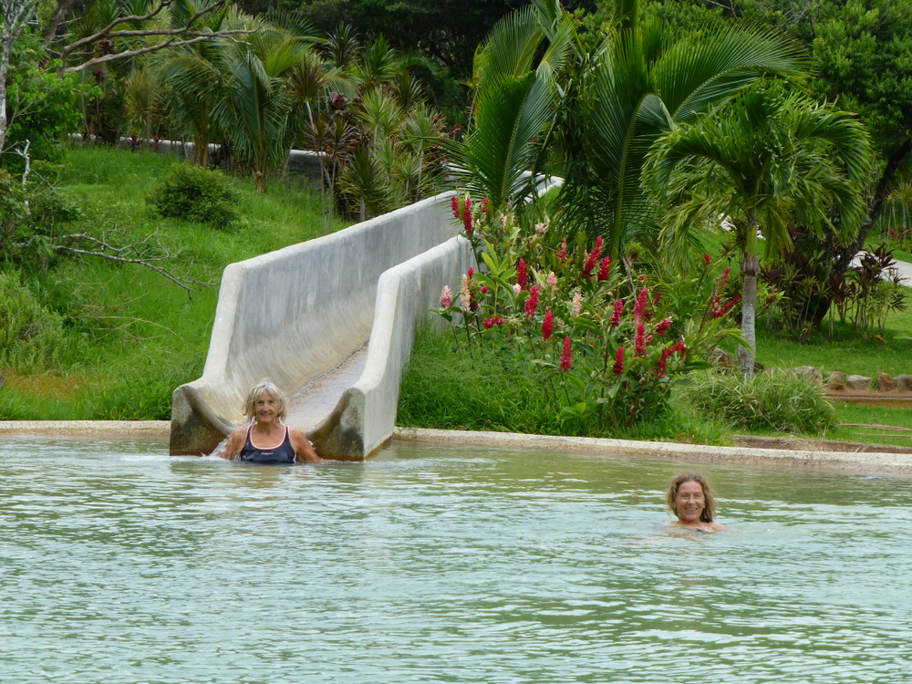
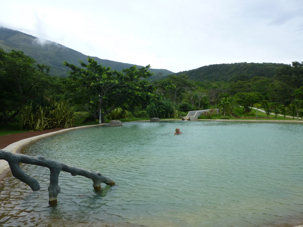
A thermal spring where we camped.

P1020978

Nobody here during the week…..

P1020972

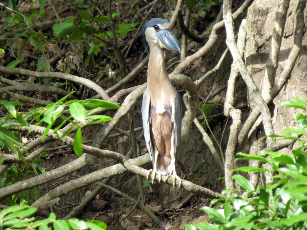
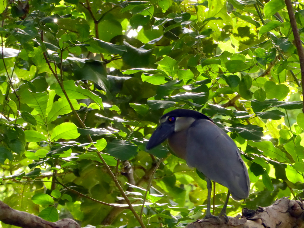
Boat-billed Heron

P1000152

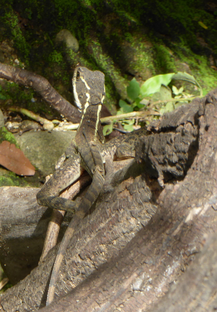
Baselisk

P1000151

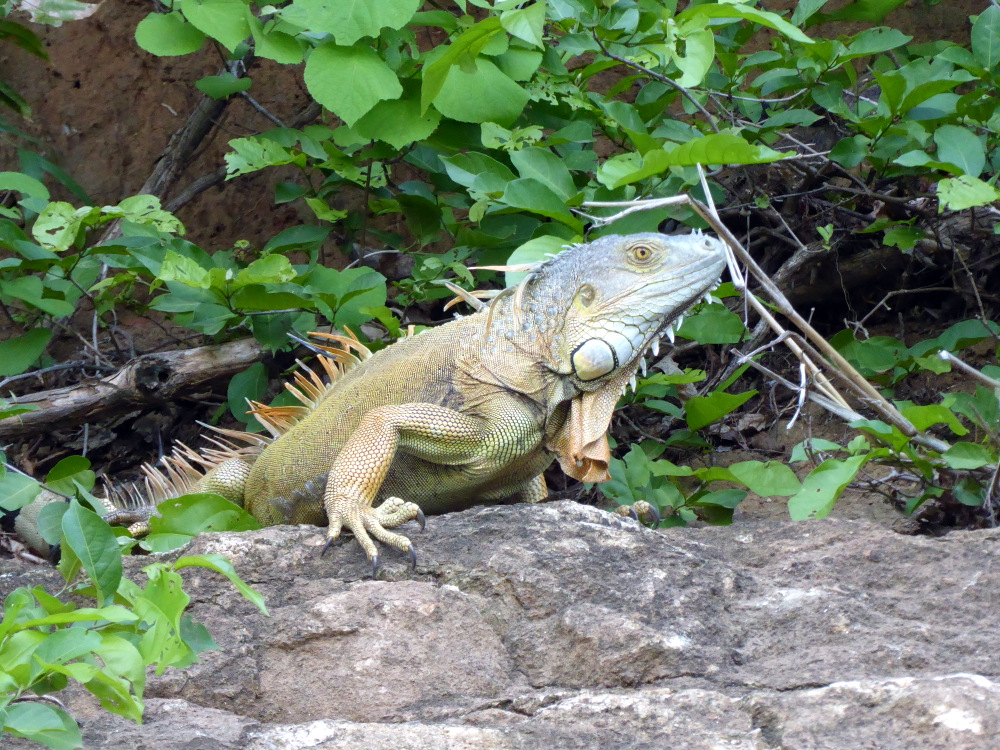
Iguana

P1020961 P1000145


There are several places to “wild” camp right on the beach there, we picked one (Playa Grande) and had a miserable night with two fans blowing very warm air at us. The beach was beautiful, but after a long pre-sunrise walk we dreaded the heat and another sweaty night so we left for Samara. We had rented a beach house there, wanted to just lay back and regroup. But we were a day early and the house not ready. We contacted the owner and he was great, invited us to stay at his home up in the mountains behind the coast, in Nosarita Valley. As we followed him in his truck we had no idea where we would end up but he seemed like a great guy (and he was!). His place is a beautiful estate, there are fruit trees, a horse barn, a green house/growing area and he put us up in his guest house. Then he took us up into the mountains where he has a coffee finca. I want to rent that place some day, the spot is very special. Back down in the valley he invited us for dinner and grilled skewers of meat and made REAL pommes frites. What a guy! Brett, if you ever come to Alaska, we will take you out on the boat and cook you a fish!

P1000267

Guest house at Brett place.

P1000254

Looking down to Nosarita

P1000252

Nosarita

P1000240

Making REAL Belgian “frieten.”

P1000271 P1000260 P1000246 P1000236

Samara

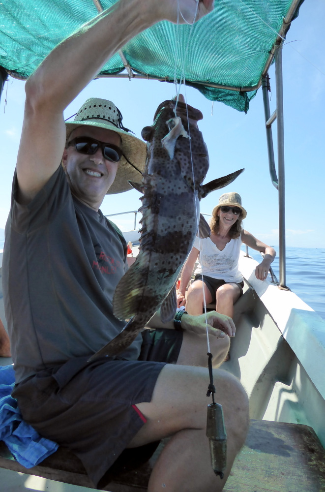
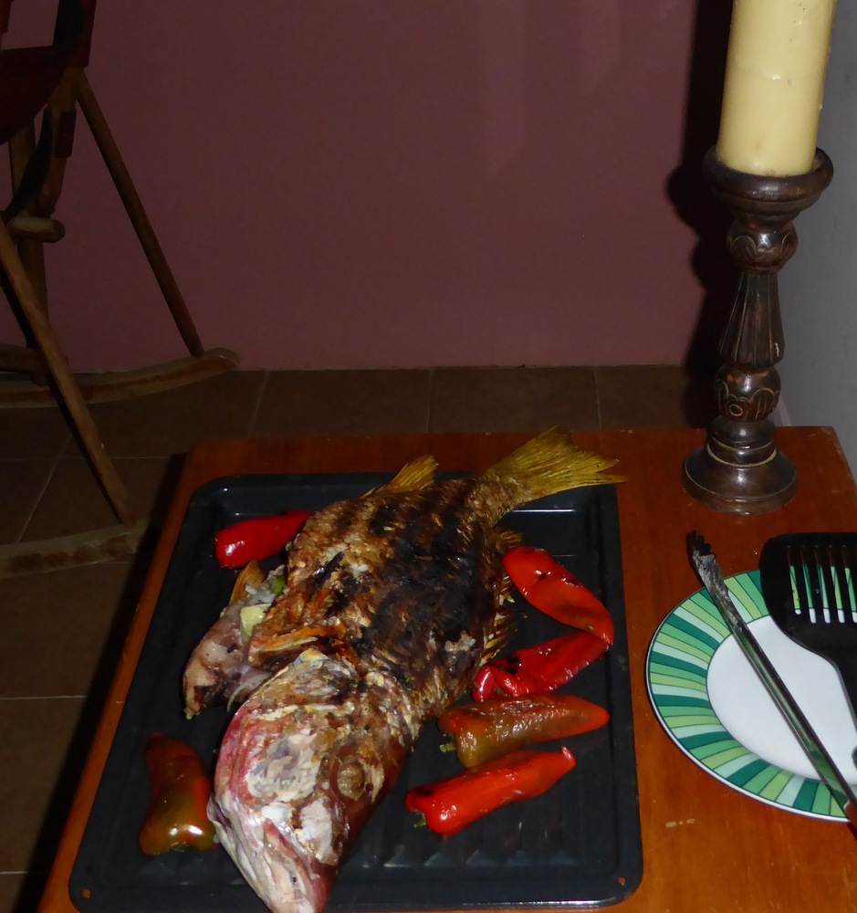
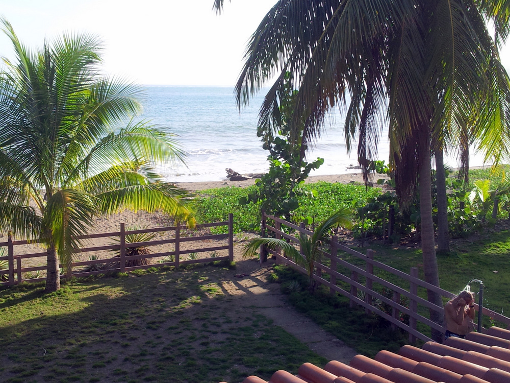
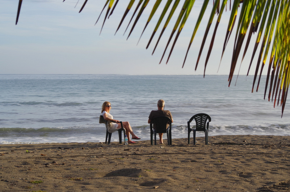
The house was perfect for us, right on the beach, two levels, Anita got the upstairs, each level has a full kitchen, bedroom and bath/shower. It had A/C and we were glad. We went for morning beach walks, swam and body surfed, read and ate a lot of fish. That is because we went out fishing with one of the fishermen and ended up with a hole bunch of huachenango (red snapper) und corvina (sea bass).

P1000366 P1000337

P1000314

Samara is pretty laid back and time just went by. Two weeks of bliss, we cleaned the camper inside and out, did more laundry (some of the clothes that did not like to dry at the last place had to be relaundered).

20150620_161238 IMGP4030 IMGP4047 IMGP4063 P1000311 P1000430

surferboy in Costa Rica

Every day Walter Nixon (a tico with a gringo name) rode past our house with his horses and offered to take use horseback riding. We finally went and had a blast, rode up to a view-point and galloped along Buena Vista beach. It made me think of all the years my friend Maureen and I used to go riding (after we got our kids off to school) on the beach and through the woods. Great memories.

20150627_100428

P1000480P1000465

20150627_103427

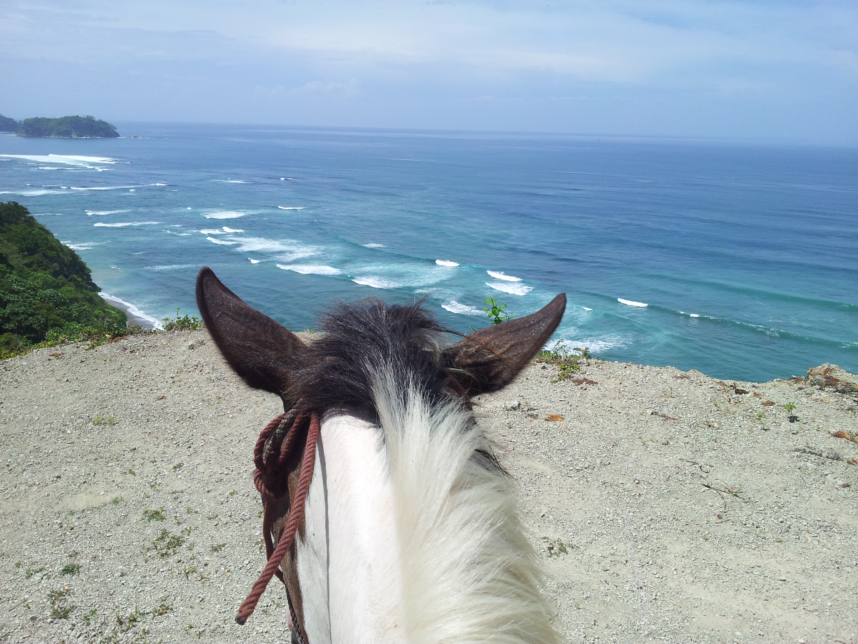
Pinto and I looking down to the beach of Samara.

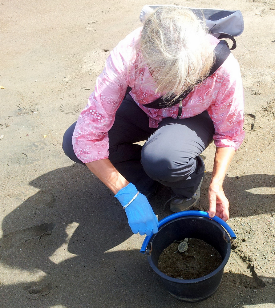
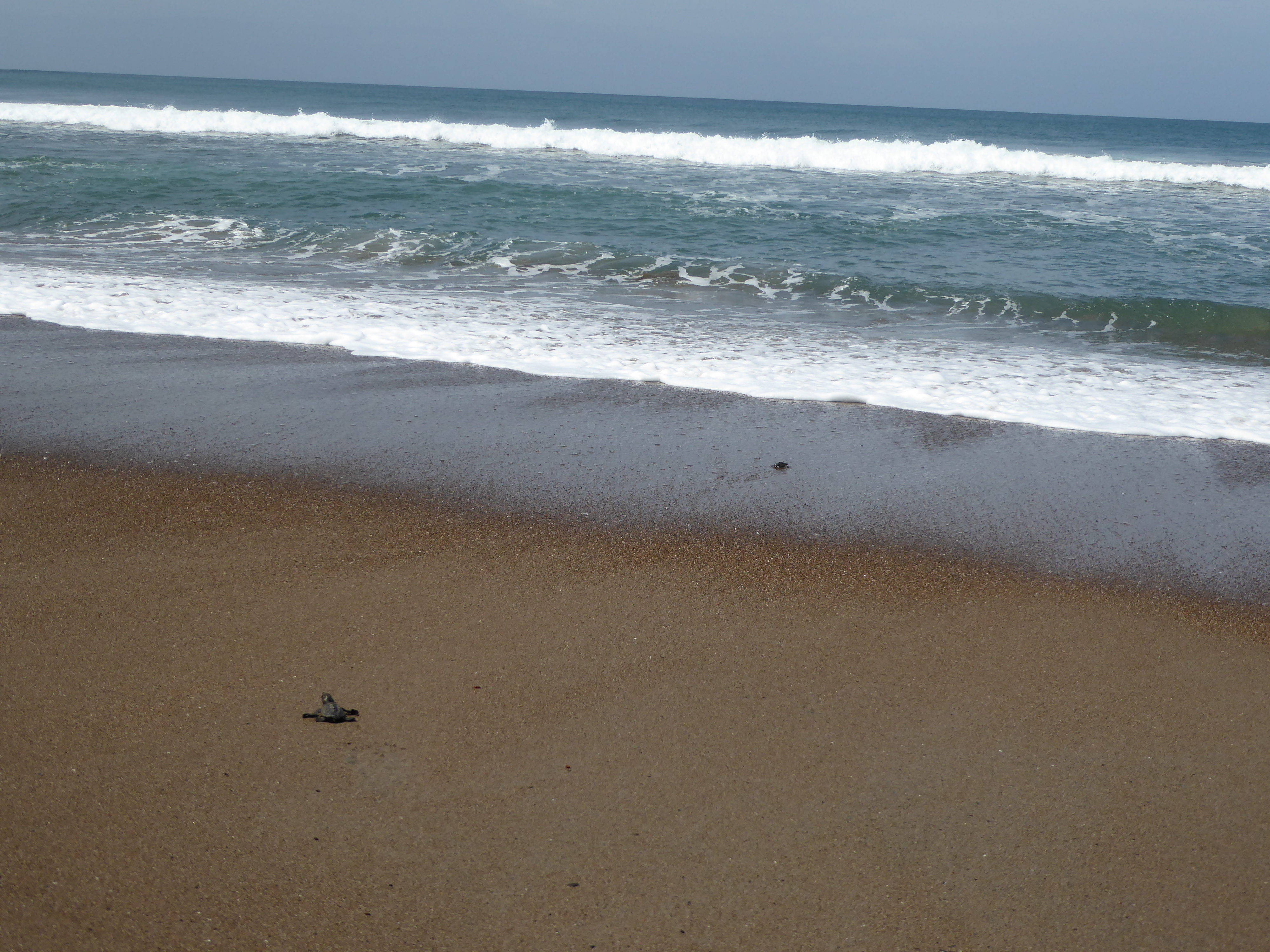
It was Anitas first time on a horse and she did really well. At Buena Vista Beach is a turtle rescue station. We stopped to talk to a volunteer, a young woman from the US. They are desperately trying to save the eggs from poachers and hatch them in an enclosed area of the beach. Some turtle babies had just hatched and we got to release them and watch them hit the surf. Poor little guys, their chances are so slim, we sent them off with best wishes.

20150627_094328

Baby Olive Ridleys

P1000460

Our plans to visit the Caribbean coast had to be changed because of extensive flooding and torrential rains in the area.

Soon Anitas vacation time came to a close and we dropped her off again at the airport. It was really nice to have her come and visit and I hope some of our friends and family members will consider such a visit in the future.

It was time to start planning the transit across the Darien Gap. The Pan-American Hyw stops in Panama and starts up again on the other side of a great swampy jungle in Columbia. We have to ship our camper from Colon in Panama to Cartagena in Columbia. There was a ferry for a few months this spring, but it is discontinued. So we booked a spot on a cargo ship for the 13. of July and it was time for us to head to Panama.

We went to the mountains again, drove on a beautiful road over Cerro del Muerte ( I definitely will come back and go hiking here, on thr Osa and Parque Amistad) past vast pineapple fields to a little town called San Vito. There is a small nature reserve above town and the owners have a camp spot in the middle of this beautiful garden/forest. Finca Cantaros: A former pasture with an ancient pond had been replanted with native plants and trees and the result is very special. There is a petroglyph stone and in the trees we saw, amongst many other birds, crested guans and toucans in the trees above the camper.

P1000596

Our camp spot at Finca Cantaros

P1000603

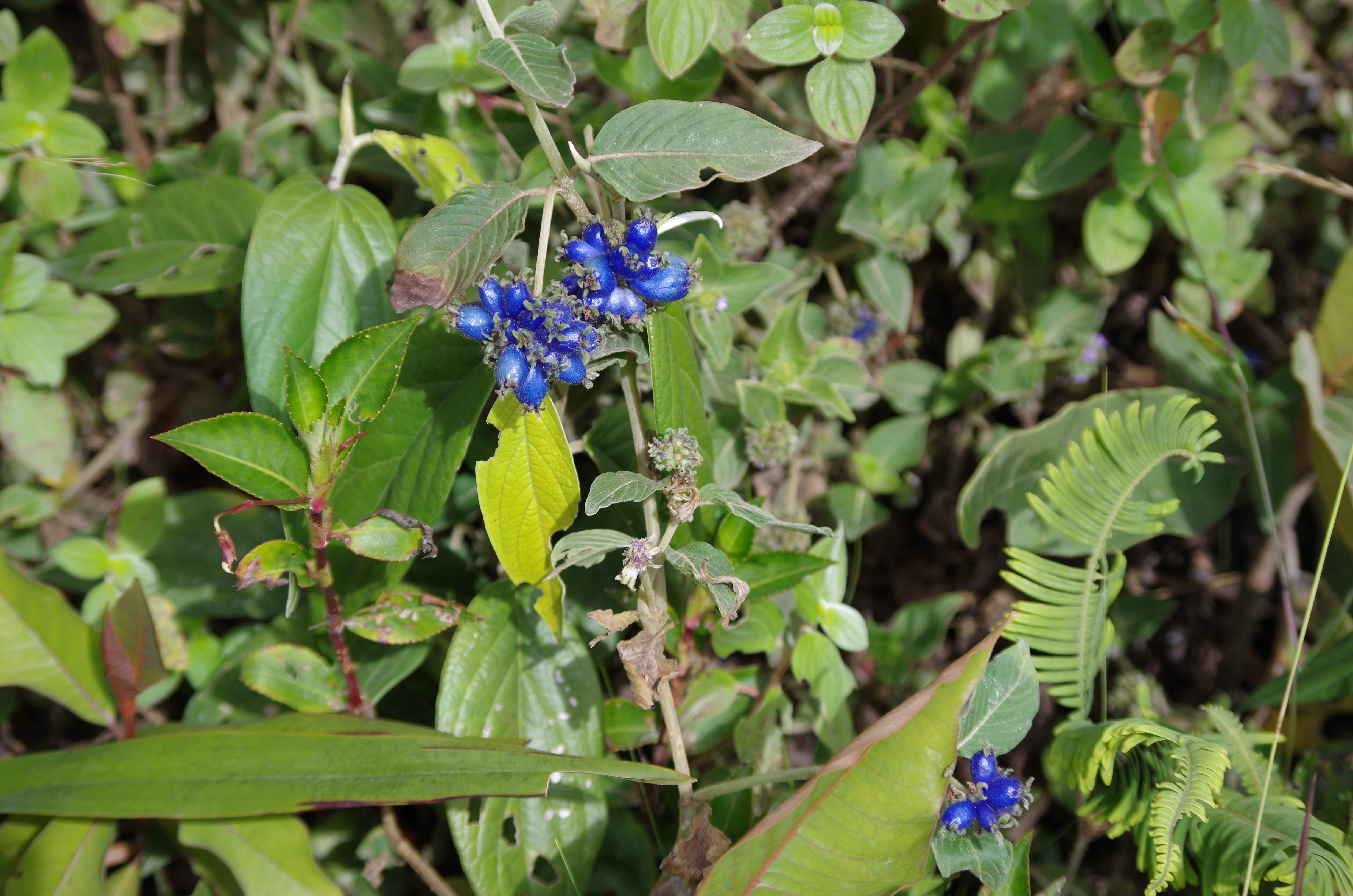
Melastome (look at the extra marginal veines in the leaf)

P1000614

Chestnut-mandibled Toucan at Finca Cantaros

P1000607

Laguna Zoncho

Finca Cantaros is one of more than 230 nature reserves that are affiliated with the Network of Private Nature Reserves of Costa Rica. (Total more than 140 000 hectares).

Two nights at this peaceful spot, the border to Panama was not far and we crossed it on a Sunday. A dirt road leads there and we almost crossed the border at Rio Sendero without knowing that we were there. No signs,flags or uniforms. We asked an old man where the border is and he said “right here”. Ok, we backed up again and did the border maze again.

IMGP4101 IMGP4106

IMGP4109

They missed one!

Costa Rica’s eco-tourism industry has been booming in the last few years. I wonder if there is a point where eco-tourism is too much for the shrinking wilderness enclaves. The coasts on both sides (Pacific and Caribbean) are in the hands of North American and European entrepreneurs. I also wonder why it has gotten so expensive since our last visit in 2007, if you go to the grocery store now, you will have sticker shock. (Especially if you come across the border from Nicaragua) It can’t be easy for the locals to pay those high prices.

6. July 2015

Now we are high up in the mountains above Boquete in Panama, at the end of a road at 1660 m. The view is amazing, volcano Baru out the back window, coffee fields below us, cloud forest above us. A group of indigenous from the Guaymi tribe are eating their dinner in front of our truck, they had been working in the coffee fields all day and a truck came up from town to bring their food. We had them in the camper for quite a while, they were amazed and we gave them some gifts. (Crayons and paper for the kids. Almonds: they did not know what they were, and two Costa Rica guide books: they were fascinated by them)They do not speak much Spanish, neither do we, communication was difficult, but they were very exited and our camper now smells like wood smoke.

← Back

Thank you for your response. ✨


Posted in Costa Rica | 6 Comments

Nicaragua

Nicaragua

After another “Gong Show” at the border from Honduras to Nicaragua we headed straight for the hills around Matagalpa.

IMGP3778

Although I remember watching the news about the war in Nicaragua years ago, Sandinistas and Contras, Oliver North and CIA, it was always just another one of those uprisings one gets used to hearing about somewhere in the world. Hiking  in the mountains and valleys of the northern highlands of Nicaragua, it is hard to imagine that this was where the Sandinistas and Contras (fueled by the CIA) had their clashes. The losers were the campesinos that live there and try to make a living with what little they have.

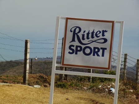
The area has a nice climate and lots of agriculture, Bananas, Coffee and Cocoa beans. We passed a familiar sign: “Ritter Sport”, Swabian (German) chocolate, Günter loves their “Rum-Trauben-Nuss“. Ritter buys much of the high-quality, organically cultivated cocoa here, it grows in only a few areas of the world.

CIMG8833

We drove to San Ramon and on higher into the mountains, it was late afternoon, people, horses and cows where on the dirt road. Several people carried instruments and were headed to a gathering, I would have loved to follow and hear them play. But alas, we had to find Finca Esperanza Verde where we planned to spend the night. We were lost for a while but that made it even more interesting. After stopping and talking to the locals a few times (who were very friendly) we finally we turned around and eventually found the right road.

20150531_085308

20150529_074734

One of the cabins the finca rents, the camper down below.

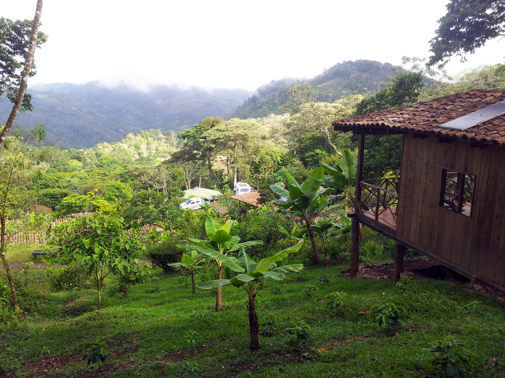
The finca is an organic coffee farm at around 1200 m. It was cool and the air was fresh and clean. The banana and papaya trees are grown to provide shade for the coffee plants, visitors are free to help themselves to bananas, they are everywhere and also an important food source for the animals in the forest. We camped right in the parking lot and had great views of the valleys beyond, the cloud forest and the sunsets. A very special place with many birds, plants and welcoming owners and crew. They maintain trails throughout the property, these trails are also used by the local people and it is fun to meet them and talk to them. We sent an email to our friends Vroni and Michael, they (and we) had been suffering from the heat in the lower elevations. Two days later they showed up as well and we had a great time hiking and relaxing in the cloud forest. The birds are plentiful and with any luck you see a sloth hanging on a branch.

IMGP3780

Morpho

IMGP3803

20150529_100522

Vivian, the owner, plans to level out a grassy patch on the property so she can accommodate  campers in the future. The tap water is potable, you can fill your tank and jugs.

IMGP3808

IMGP3777

IMGP3789

Leaf cutter ant. Blattschneiderameise.

We left for some “volcano time”, hiked around the crater of  Masaya volcano, saw the green parrots that somehow are able to live on the crater walls without being harmed by the noxious fumes and enjoyed the expansive views.

IMGP3828

Volcano Masaya and the crater trail.

IMGP3814

Vroni, Michael and Günter on Masaya.

20150601_162525

We swam in the crater lake Apoyo and stayed in the Paradiso hostel (parking lot), and we toured the beautiful city of Granada and drank ice cold pinolillo.

IMGP3849 IMGP3848 IMGP3839

IMGP3831

Always trying to escape the stifling heat and humidity. Ometepe island in Lake Nicaragua promised relieve, we read that the eastern shore has a pretty steady breeze. And so it was, hot but nice wind to cool the skin and keep the bugs off. Swimming in the lake was nice, it is quite warm.

20150608_093032

Taking the ferry to Ometepe Island. Nanuq und Dodgie side by side.

20150608_101709

Top of the XP.

IMGP3882

Playa Santa Cruz on Ometepe Island.

20150607_092759

OA! So ein Zufall, Besuch aus Hindelang!


20150607_092821 20150606_170404 20150606_155157 20150606_152700

Lake Nicaragua, despite being a freshwater lake, has sawfish, tarpon, and (bull)sharks. It had been presumed that the sharks were trapped within the lake, but this was found to be incorrect when it was discovered that they were able to jump along the rapids of the San Juan River (which connects Lake Nicaragua and the Caribbean Sea), almost like our salmon in Alaska do.

The lake is in trouble though. Here a news clip from the Tico Times:

 January 2015. According to documents from the Chinese company HKND Group, 106.8 kilometers of the planned interoceanic Grand Canal of Nicaragua will go through Lake Cocibolca, also known as Lake Nicaragua, the largest freshwater body in Central America.

The World Bank calls this lake the “Galapagos of Central America” because of its great biological diversity. The canal – if it is ever made – will enter the lake from the west – south of San Jorge – then cross the lake four kilometers to the south of the volcanic island of Ometepe. It then will hit the eastern shore eight kilometers south of San Miguelito.

The shipping channel in the lake must be 29 meters deep and 280 meters wide so that the largest container ships, bulk carriers and oil tankers in the world can use it. However, Lake Cocibolca is shallow. There are some deep areas, but on average, the lake is no deeper than nine meters. For that reason, HKND plans to dredge 715 million cubic meters of material from the bottom of the lake, possibly the biggest dredging job ever. In comparison, all dredging and excavating in the 100-year history of the Panama Canal has removed a total of 550 million cubic meters of material.

I hope this will never happen.

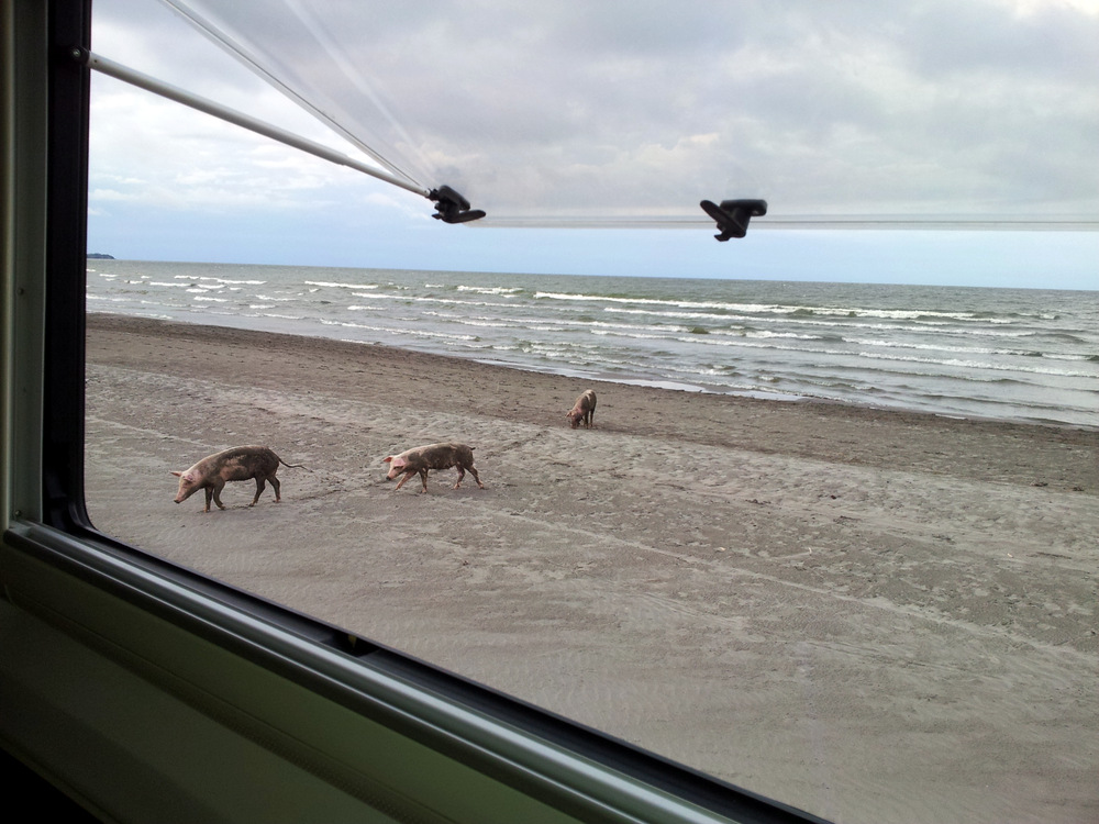
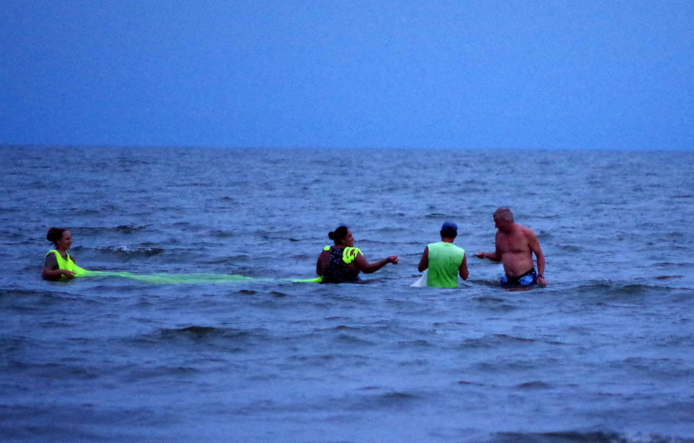
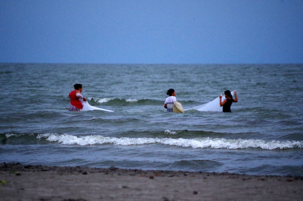
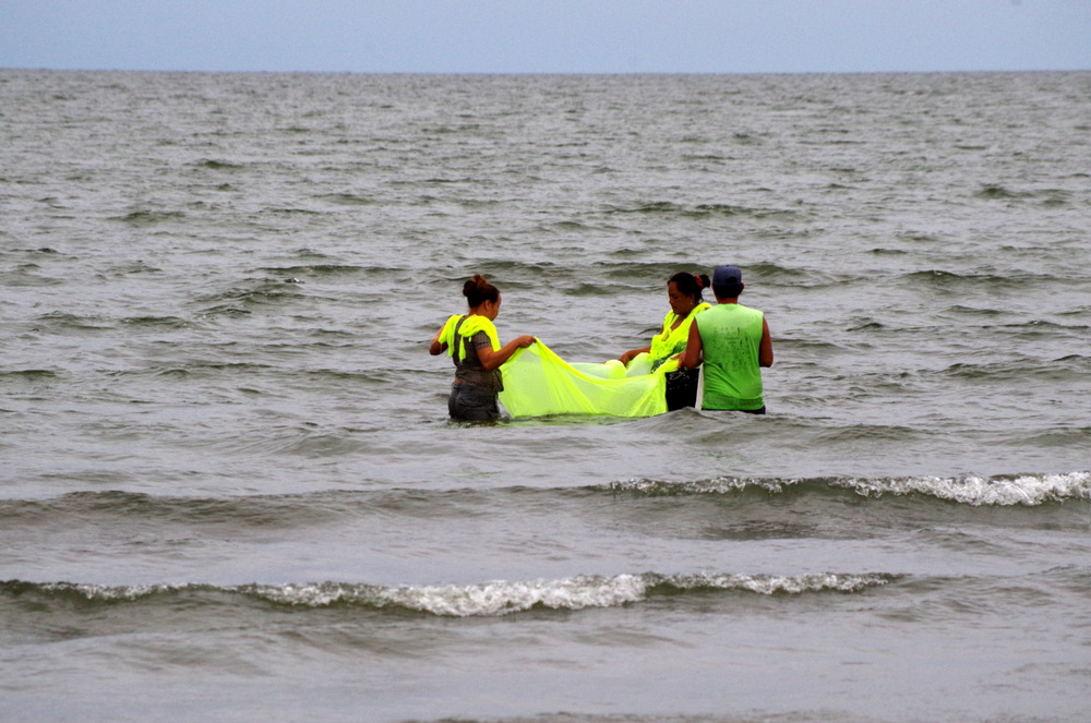
Horses and cows were brought to the lake every day by the farmers, and occasionally the pigs would come by. I found it interesting that a certain form of fishing for sardines in the lake was done by women and children.

IMGP3874

Günter checking their catch.

IMGP3868 IMGP3853

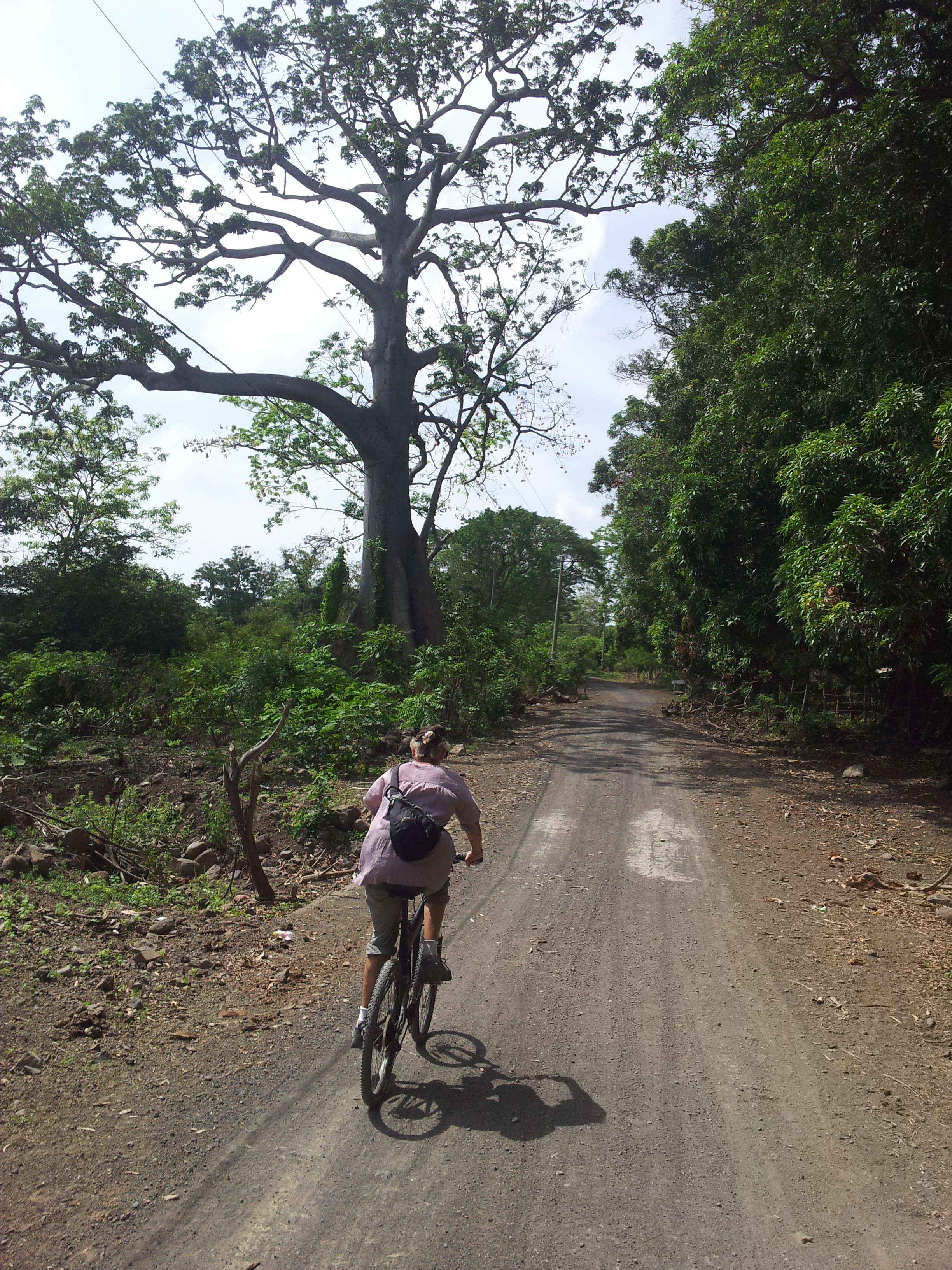
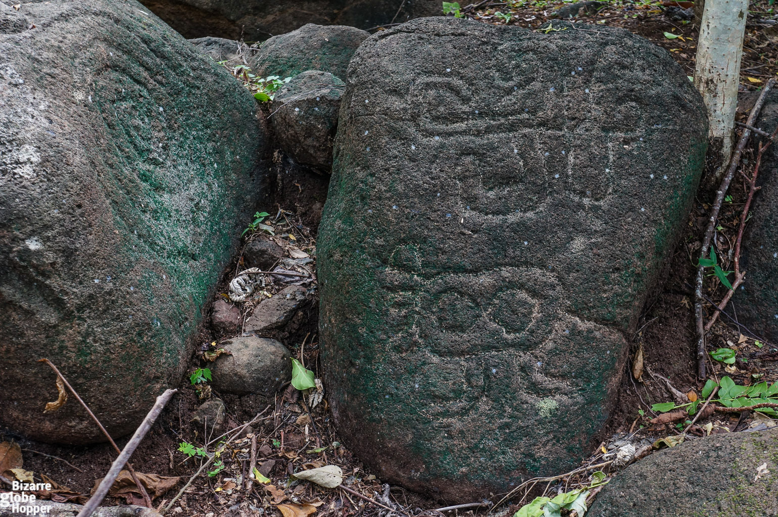
We rode out bicycles to Ojo de Agua, a spring with fresh cool water, great for swimming. (They allow camping!) Günter rode around Maderas volcano while I went half way and then explored the petroglyphs.

20150606_091439

Petroglyphs-in-Ometepe-island-Nicaragua

20150608_081755

Driving back to the Ferry, the rainy season is upon us.

20150605_145924

Good bye Ometepe Island.

Frequent thunderstorms told us that the rainy season is just around the corner.

Our laundry bag got heavier and heavier, no chance to get it washed, because of the high humidity it would never get dry. So we checked in the iOverlander app and decided to go to a finca on the other side of the border, in Costa Rica. There – we knew – is a nice Swiss couple and a washing machine.

Recommended reading on Nicaragua:

The Jaguar Smile  by Salman Rushdie

The country under my skin  by Gioconda Belli

Blood of brothers  by Stephen Kinzer


@Re: Camping on Playa Santa Domingo

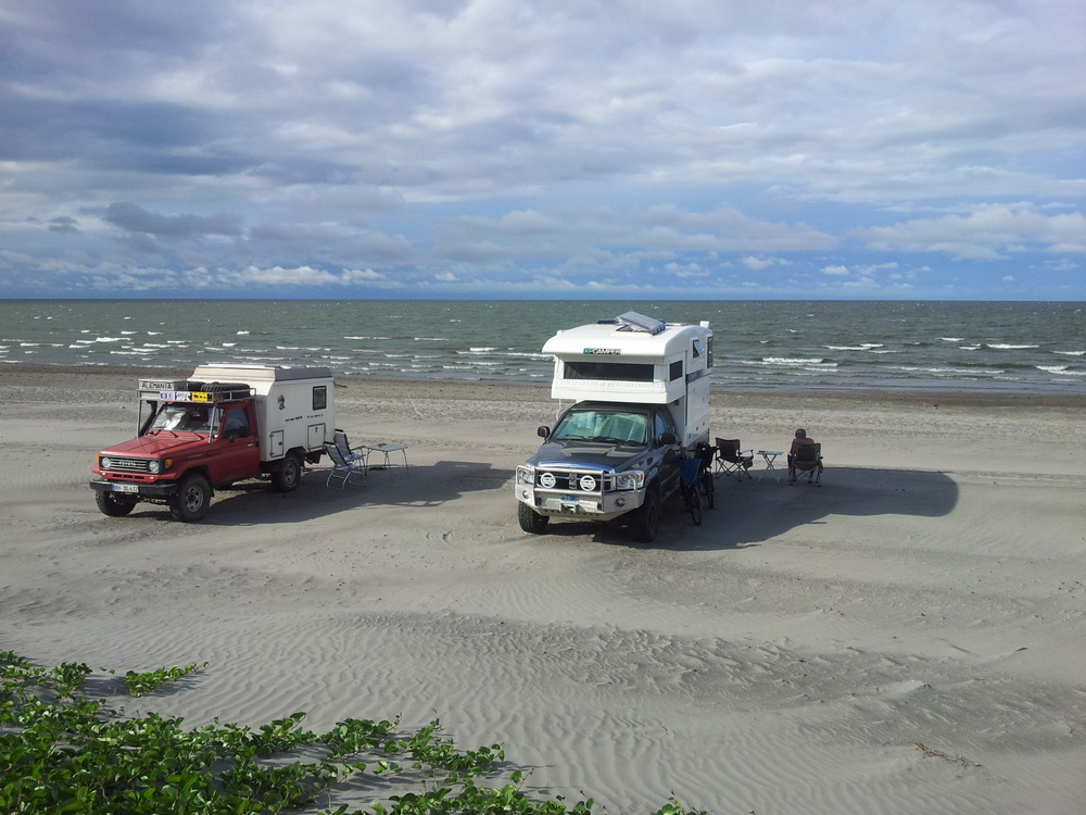
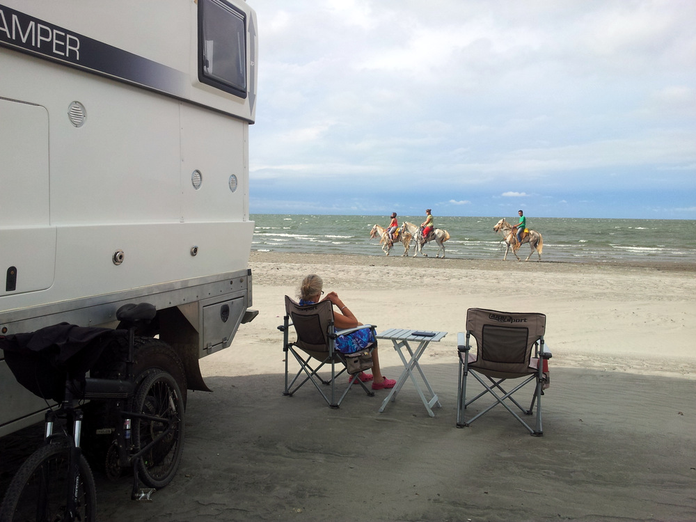
There is a home made sign on the northern part of Playa Santo Domingo that says that you are prohibited from driving on the beach. We drove on to Playa Santa Cruz where there was access and no sign. This access is also used by locals that drive to the beach to swim and picnic. We talked to one farmer on horseback and asked if it was ok for us to park our camper on the beach and he told us ” of course, stay as long as you like”.

← Back

Thank you for your response. ✨

Posted in Nicaragua | Leave a comment

Honduras

Oh Honduras !

20150525_124217

This also is Honduras.

Banana Republic, Mosquito Coast, drug highway and danger. That is what came to my mind when we crossed the border from Guatemala to Honduras. We had enjoyed Guatemala for the most part and spent a few nights at a Hacienda close to the border. Los Laureles was huge, they grew corn, mangos, thoroughbred race horses and whatever else I could not see because it was too big. (Parque Ecológico Los Laureles, Chiquimula, Guatemala )

IMGP3490

Los Laureles race track

IMGP3495

Mangoes

IMGP3497
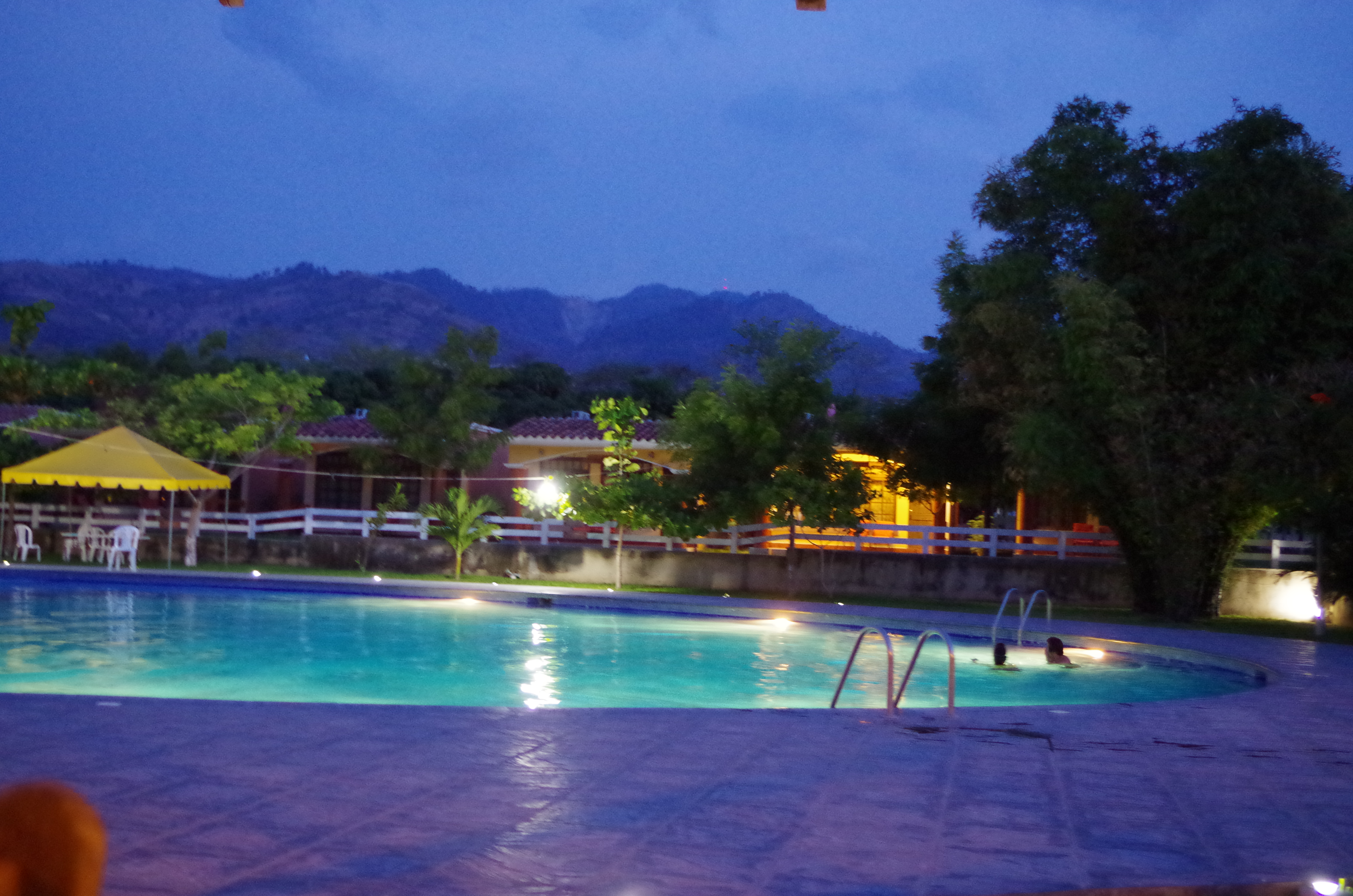
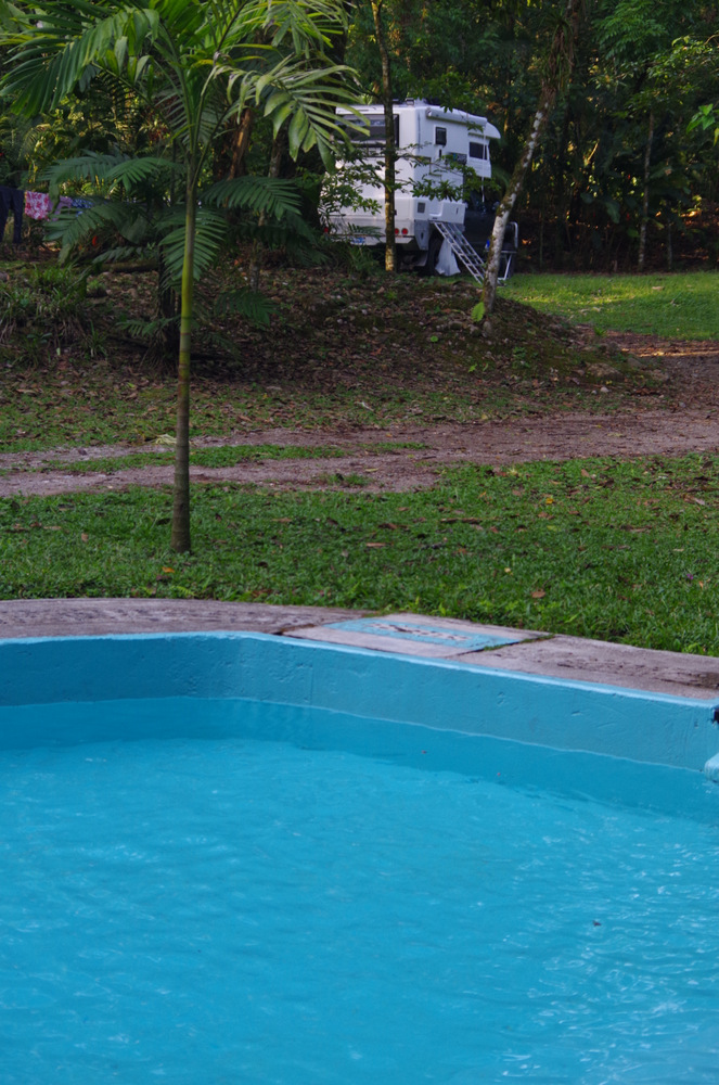
They rent cabanas and have a  nice pool and facilities, near the race track they have a nice restaurant and more lodgings. When we asked if we could camp they showed us an area in the mango orchard, close to the pool. It was a great spot. We lounged by the pool and had it mostly to ourselves, mangoes were ripe and we ate mango müsli every day. Camping was free, use of the pool was 50 quetzals. But it was hot and we like to DO things, it was impossible because you don’t want to move and just stay by the pool.

IMGP3503

Los Laureles pool


This was the case in Honduras too, we just couldn’t hike or bike anywhere because of the heat.
Crossing the border was funny because we got all our stamps and then they wanted 3 copies each of our stamped passports and car papers, well, they do not have a copier and we do not either. So we were told to go back across the border and use the copy guy on the Guatemala side. We did, ate some chicken-rice-bean dish with a few truckers in no-man’s-land and then we were off.
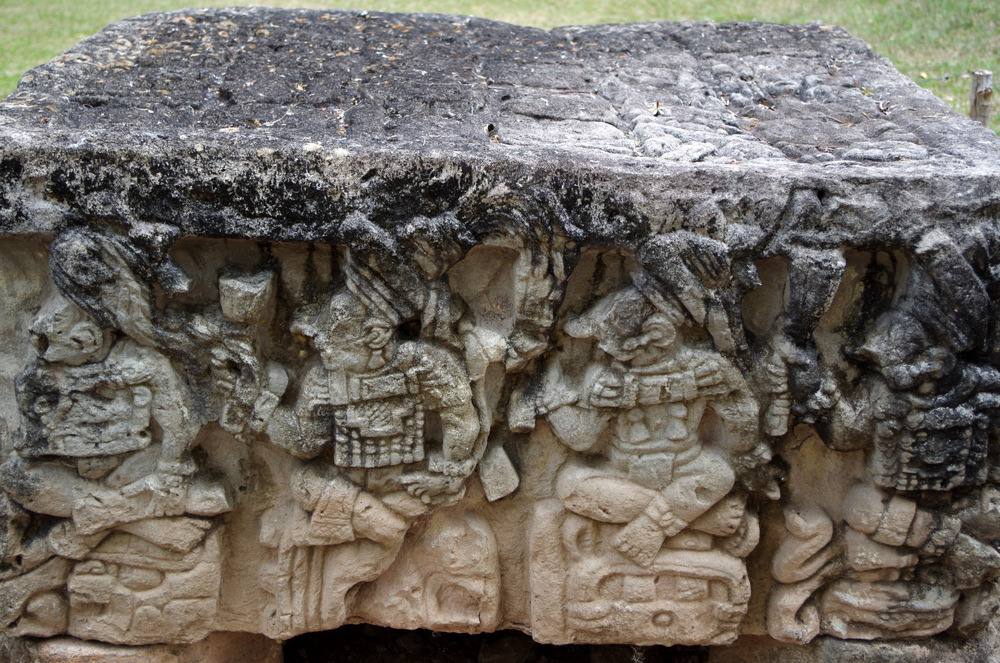
In Honduras we went straight to Copan, beautiful ruins and where it all started for the Mayas. It was nice in a way to close the loop of the Maya ruins here at one of the oldest sites.

IMGP3541


IMGP3514

20150514_092346

Copan


We drove through the gentle rolling hill country on nice new roads, a treat after pothole country Guatemala. Most of Honduras is wooded and hilly, with a few mountains, lakes and waterfalls. The little town of Gracias was our next stop, we read about the hot springs south of town and we decided to hike the 4 km to Los Thermales el Presidente. Well, hiking on trails from farm to farm can get confusing, we asked passing farmers and children about the way to the “Thermales” and after a while we did find it. Not before Günter was attacked by a pack of dogs though. He could not find a rock to throw and ended up kicking the ones snapping at his legs. The whole time I stood there and the dogs ignored me, finally they gave up on Günter and left. Needless to say, since that day Günter hikes with a bamboo stick.

20150515_103431-1

getting directions!

20150515_100416

20150526_174626

Moto Taxi

The hot springs were delightful and we spent the better part of the day there. For the return trip we took a moto taxi. On our hike there we passed men with revolvers in their belt and really did not want to meet them on the trail on our way back in the evening.

IMGP3574

IMGP3579

Gracias

IMGP3562

Hot springs

IMGP3567

Next we drove to lake Yojoa, got a camping spot in the orange grove of Finca Las Glorias.
They own beautiful Andalusian horses and I really enjoyed being close to a horse pasture and – yes- smelling them too. We hiked through coffee fields and forests, sat in the shade and read, it was “muy tranquilo”. The D&D brewery not far from there had good home made beer and our next camp spot was finca “Paradise” close to the brewery . We were all alone in the jungle, with our own little pool and Lenca (indian) ruins.

IMGP3584

Lake Yojoa

20150517_133607

Paso Fino


IMGP3664

Finca Las Glorias – Yojoa Lake

IMGP3601

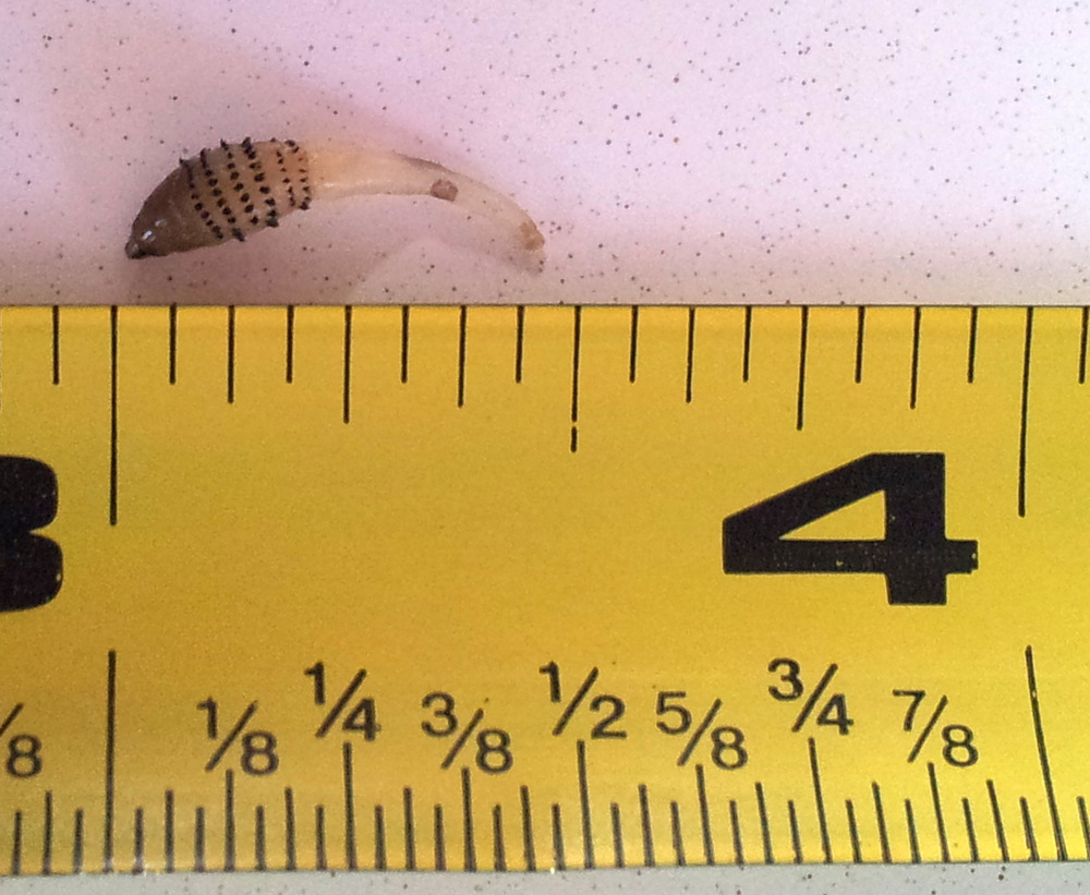
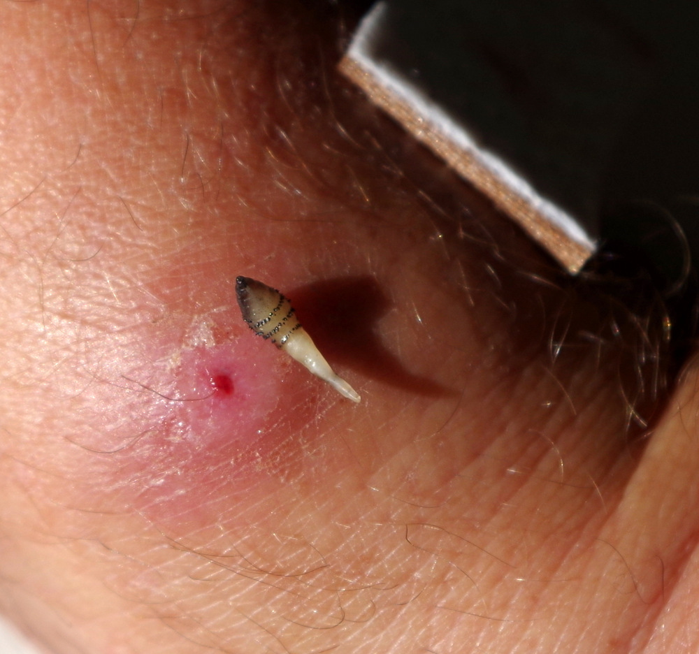
Günter had been complaining about a bug bite on his wrist, it would not heal and looked infected. I put Neosporin on it and a band aid, but if kept festering. So one morning he removed the band aid and told me to pull on the white thing sticking out of the sore. Well, I grabbed it with my fingernails and pulled, and pulled and pulled out a 1/2 inch long plug that turned out to be a bot, a kind of a grub from a fly. Eeeegh. It was from a human bot fly and had been deposited by a mosquito, probably in Belize. Poor Günter, it used to wake him up at night, he would tell me that it hurts and that there is “something in there”. I never thought that there really was. Once the bot was removed his wound healed up immediately and he is fine now. So all you travelers, keep away the mosquitos!

20150519_082311

A sacred Lenca indian site in the jungle.

20150517_071349

Günters bot!

IMGP3634

IMGP3700

Finca Paradiso

IMGP3680 IMGP3683


IMGP3657

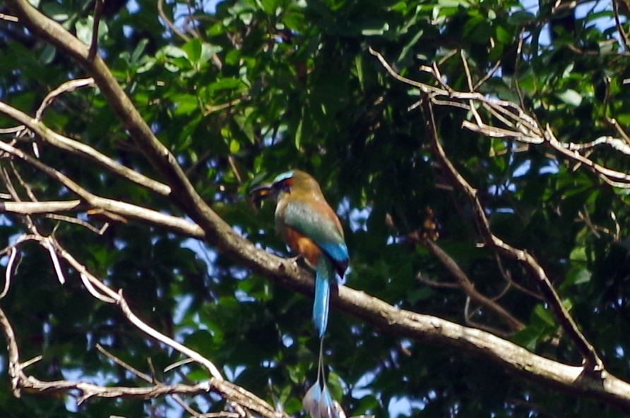
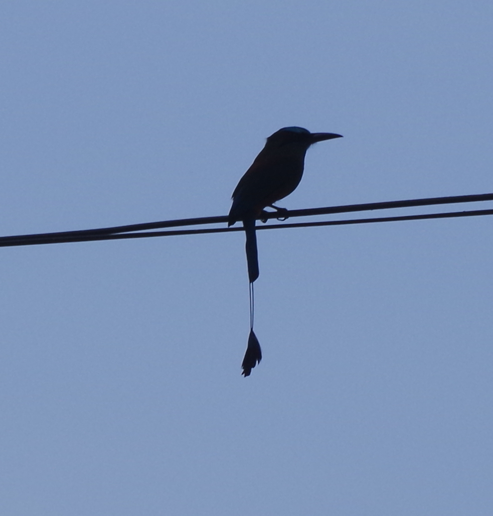
Mot mot

IMGP3661

Mot mot

IMGP3718 IMGP3720

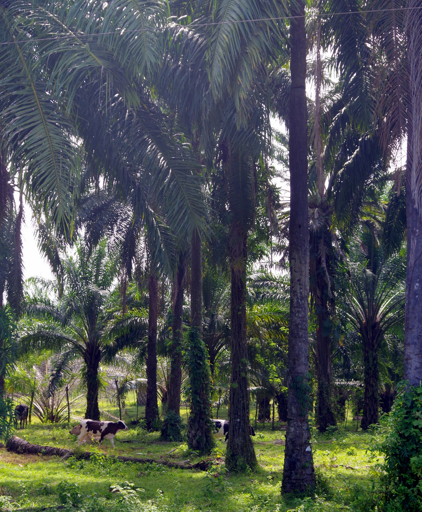
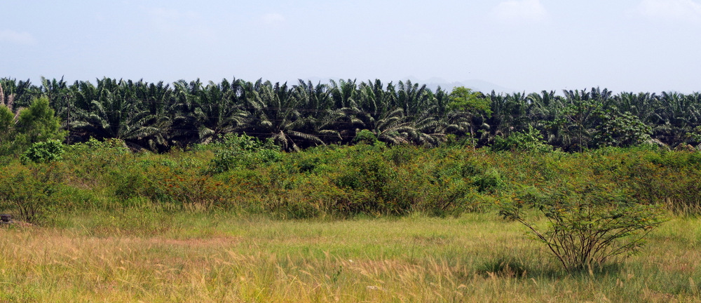
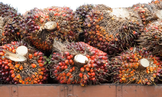
palm fruit

Pallm Fruit for oil.

Having read about Casa Alemania in Trujillo on another blog we decided to head to the Caribbean one more time. The drive was amazing, palm –  (for palm oil) banana and pineapple plantations for hours. Dole reigns here.

We were told not to stop for anything on the roads of Honduras, so once a truck in front of us ran over a sow and her piglet, we drove around the dying animals and I got all chocked up. Then we saw a person laying in the grass and a few people standing around him – keep going – . There are ox carts, cow herds, horses and people on the road and driving is not easy, but Günter is a great driver.

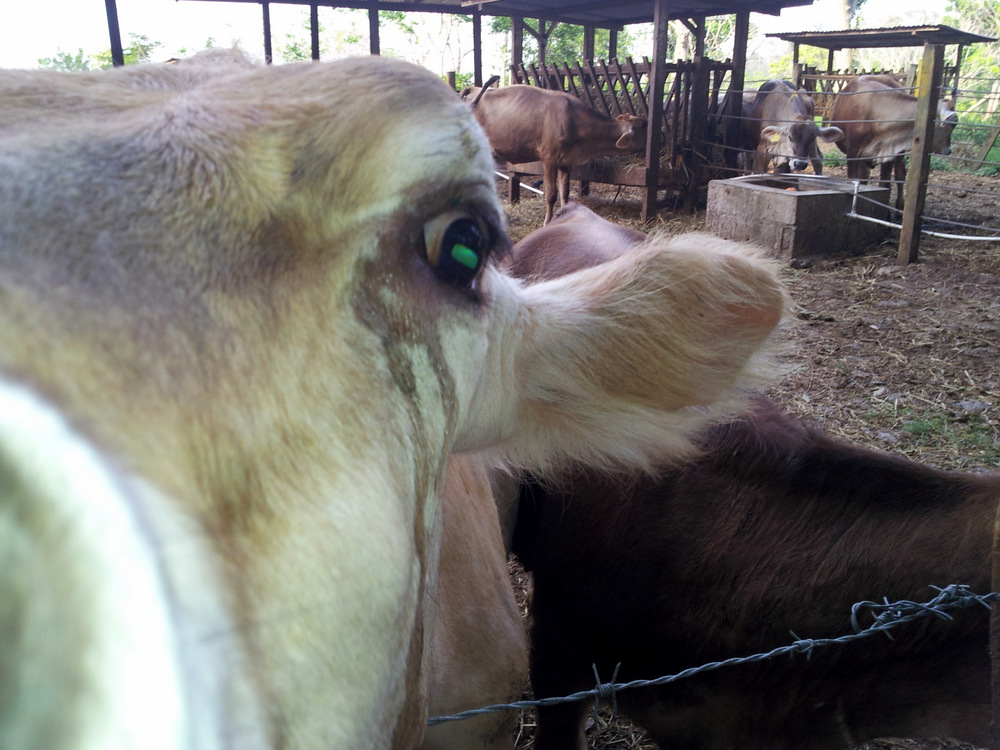
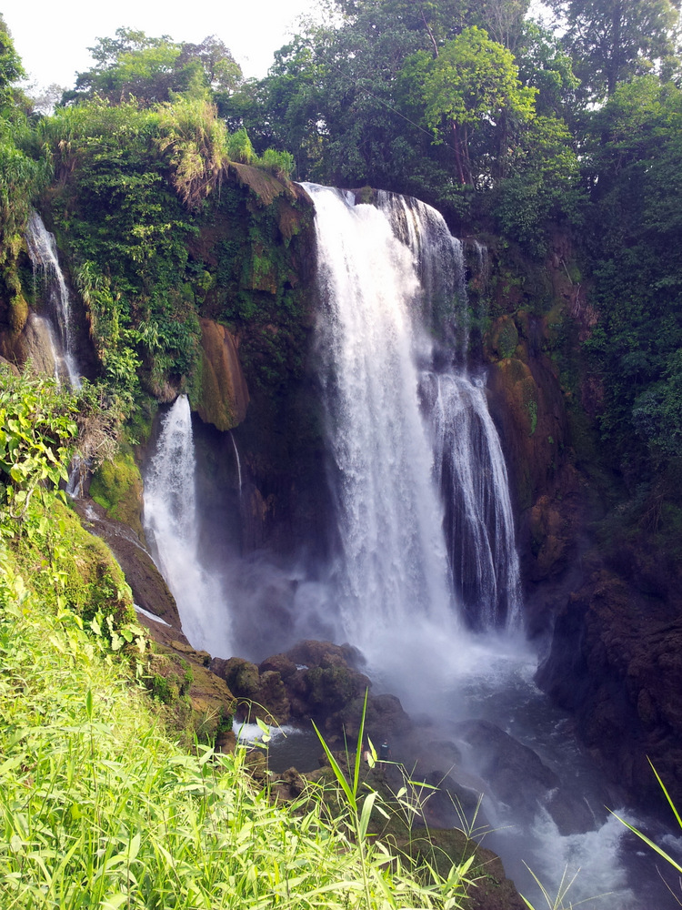
On a stop at Pulhapanzak waterfall in  San Buenaventura we parked beside a farm and when I went to look at the cattle I found them to be Swiss Browns, the cows we have in our part of the Alps. So far away from home they looked out of place, I went and spoke o them for a while in my dialect.

20150520_163209

Vorarlberger/Allgäuer Braunvieh

20150521_092354

Kuhwarme Milch 😉

20150520_153000

Pulhapanzak Falls

Finally in Trujillo we were happy to see Casa Alemania, the nice beach and welcoming wave from Gunter , the owner. Here we had a very relaxed time, Gunters wife and crew cooked great meals for us and we spent hours listening to Gunters stories. The other guests were all young people from the US and “on a mission” as they told as when we inquired. Trujillo was once an important port and the place where Columbus first set foot on the American continent. There is a fort in the center of time, a shady square, Pentecostal – Evangelican – Jehova Witnesses – Mormon and whatever else churches were lined up and all pretty busy on Sunday morning. We started walking around with our umbrellas, like the locals, better than a hat that just makes your head hotter. For refreshment we went to “Vino Tinto”, where John, an expat from Great Britain serves big beers and lots of stories.

20150522_063449

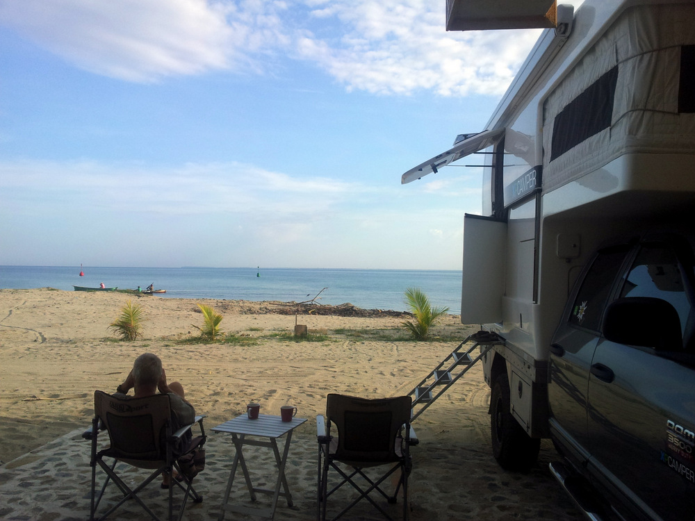
Our campsite at Casa Alemania, Trujillo.

20150522_125037

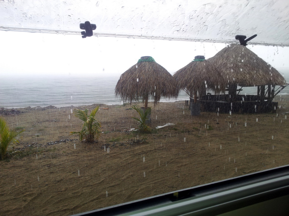
Tropical down pour in Trujillo.

20150523_115308

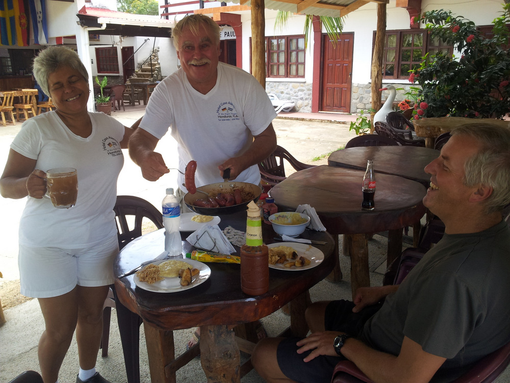
Gunter and Paula, our hosts at Casa Alemania, serving us Bratwurst und Sauerkraut.

20150524_100025
Günter’s sister will join us in Costa Rica mid June, so we had to start planning our time a little, something we haven’t done much. We still had two countries ahead of us and decided to start heading in the Nicaragua direction. One more stop was required and we chose El Tigre National Park. From Trujillo we turned off the main road and drove over the mountains on an unpaved road. The N 41 from Mame to Limones. It was a very beautiful drive, I can only recommend it. People wave at you and you can see how the farmers live in the mountains. Some of the mud brick homes were white washed, some even with ornate designs along the bottom.

Here some pictures of that drive:

20150525_120917

N 41

20150525_120358

The mountains and pine forests of NE Honduras

20150525_122912

A farm in the mountains.

20150525_124309-1
IMGP3734

IMGP3722

IMGP3724

IMGP3725

We drove down the southside of the mountains and headed for Valle de Angeles and El Tigre National Park.

The drive up to the entry of the park was tricky and cannot be done without 4×4 and high clearance. We parked alongside the park entrance building and former hospital of the El Rosario mine above San Juancito. For decades the Rosario Mine was one of the greatest sources of gold and silver in Central America. (1880 to 1954)
Although the mine has been shut down for more than half a century, its importance was such that an engraving of the mine buildings as they appeared in 1893 still appears on Honduran currency, on the back of the 500-lempira note. It was owned by an American company. After two nights beside the building and a great hike in the cloud forest we took off for the Nicaraguan border.

El Tigre NP pictures:

20150526_115311-1

Hiking to the cloud forest in El Tigre NP

IMGP3749

Wild bromelias and ochids grew everywhere.

20150526_141429

The trail.

20150526_135837

20150526_152933

El Tigre

20150526_160508-1

El Rosario camp site, no security, no problem. Horses and people passed us all day.

The drive back down:

20150527_081525 20150527_081458

20150526_095100

El Rosario

lempira2-130

El Rosario on 500 Lempira note.

IMGP3752

El Rosario and where the camper was parked.

IMGP3735

20150526_083737

The little town in Valle de Angeles in El Tigre NP

Suggested reading:

My Amish Childhood   by    Jerr S. Eicher

Enrique’s Journey   by  Sonia Nazario


← Back

Thank you for your response. ✨

Posted in Honduras | 3 Comments